




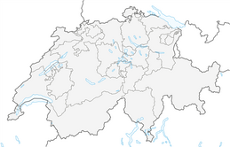


Snowshoe route no. 501 Curnius - Falera
This trail begins on the scenic mountain Curnius. Curnius is at 1644 meters above sea level and faces the sun. This route goes only downhill in a positive sense. It leads through forest passages and open...
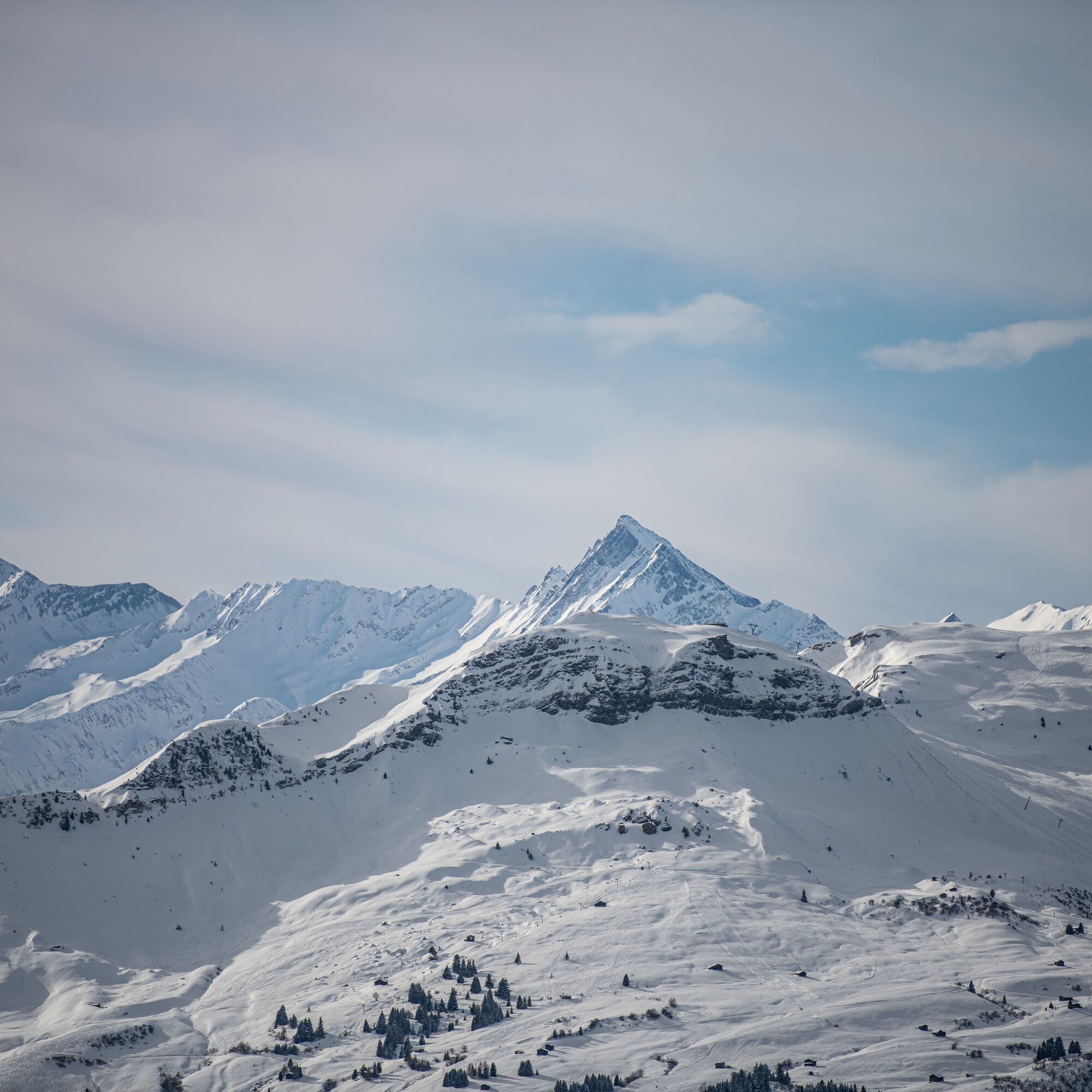
On the snowshoe route, you have a breathtaking view over the Val Lumnezia and the Grisons mountains. Facing the sun, you are right in the middle of the sun terrace. Once in Falera, there are various possibilities to warm up and stop for a bite.

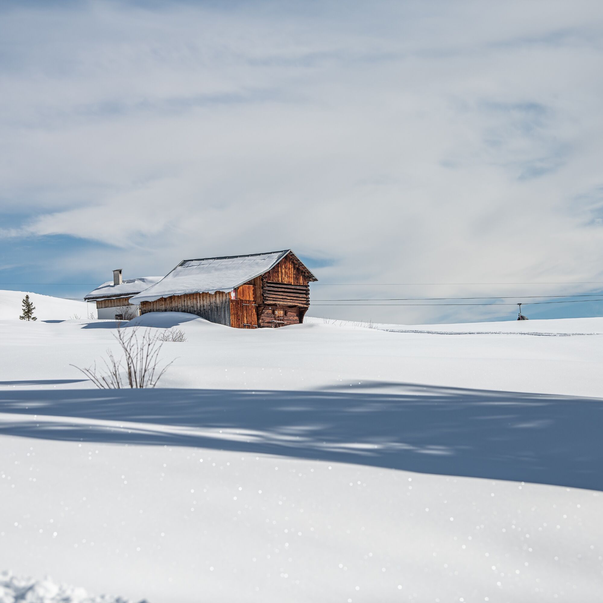
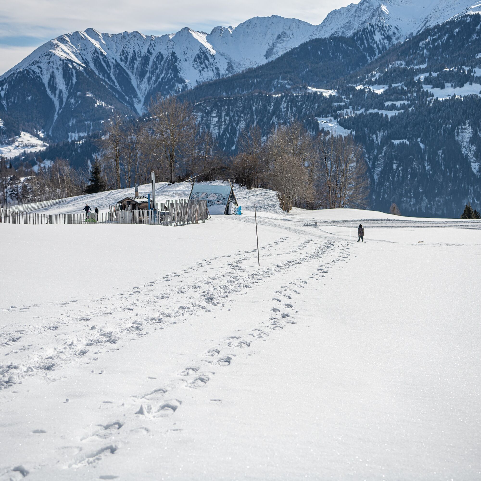
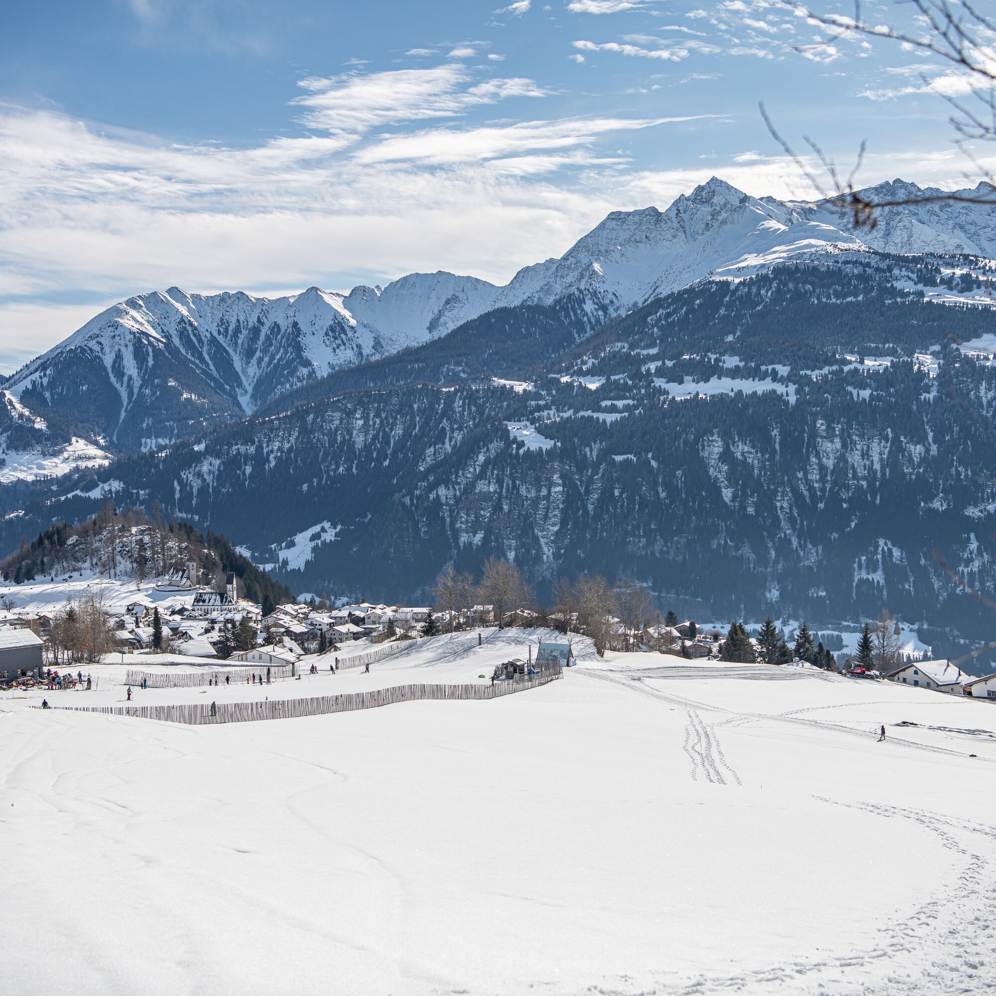
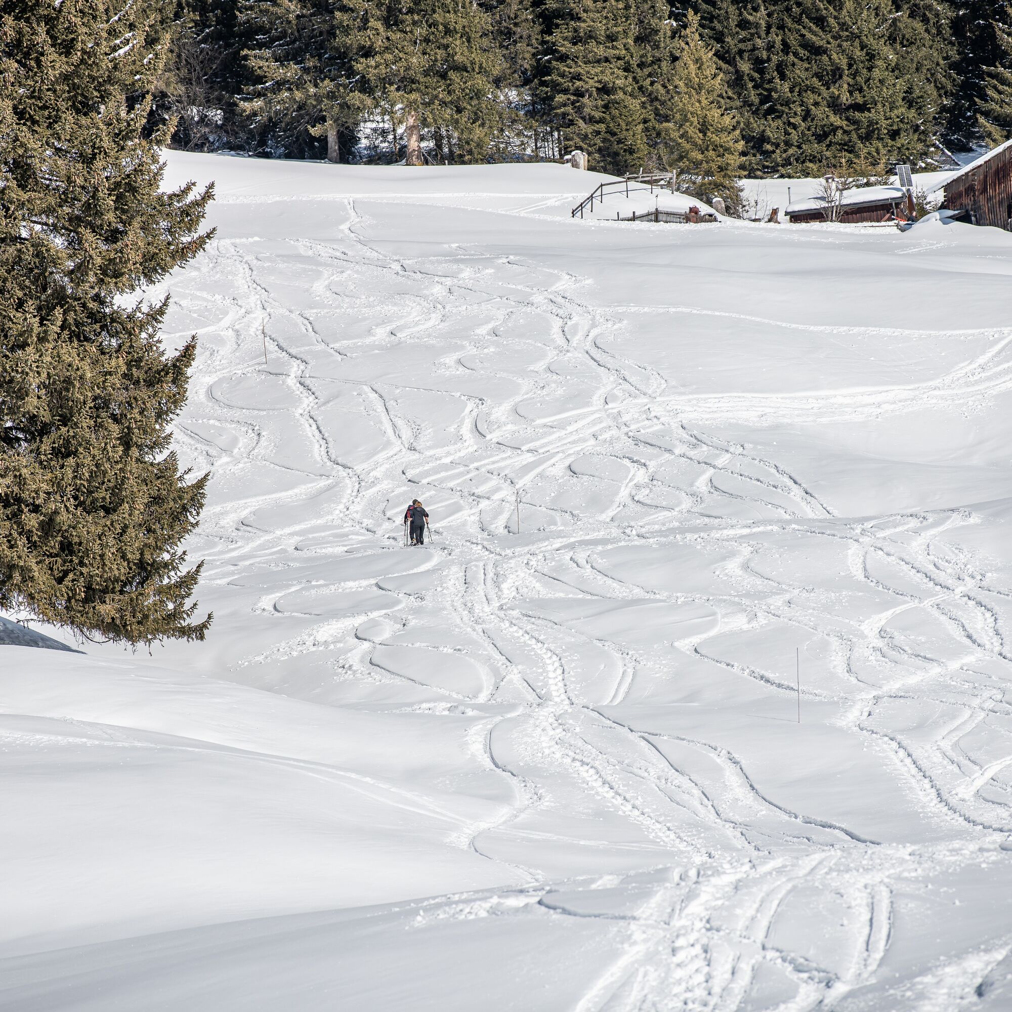
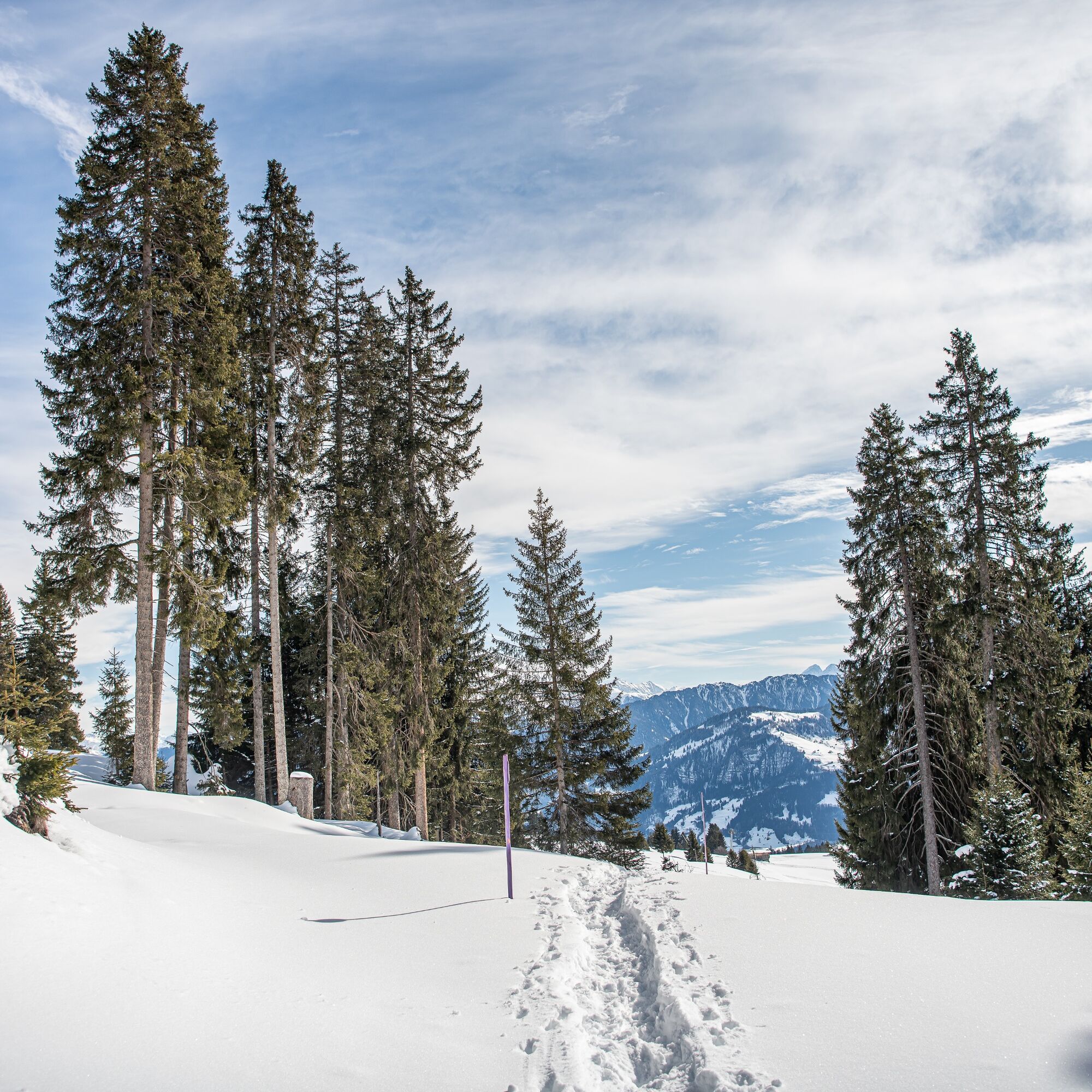
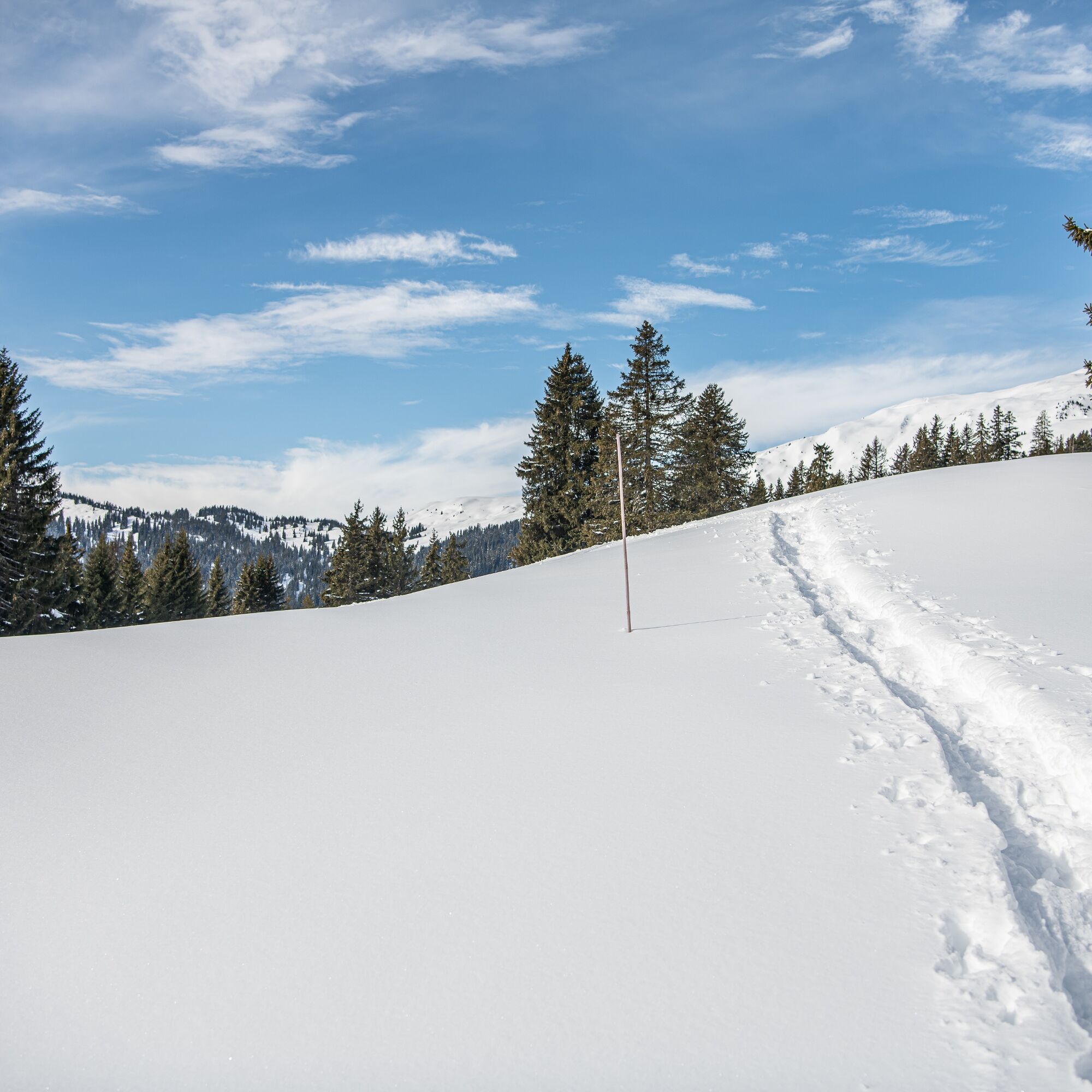
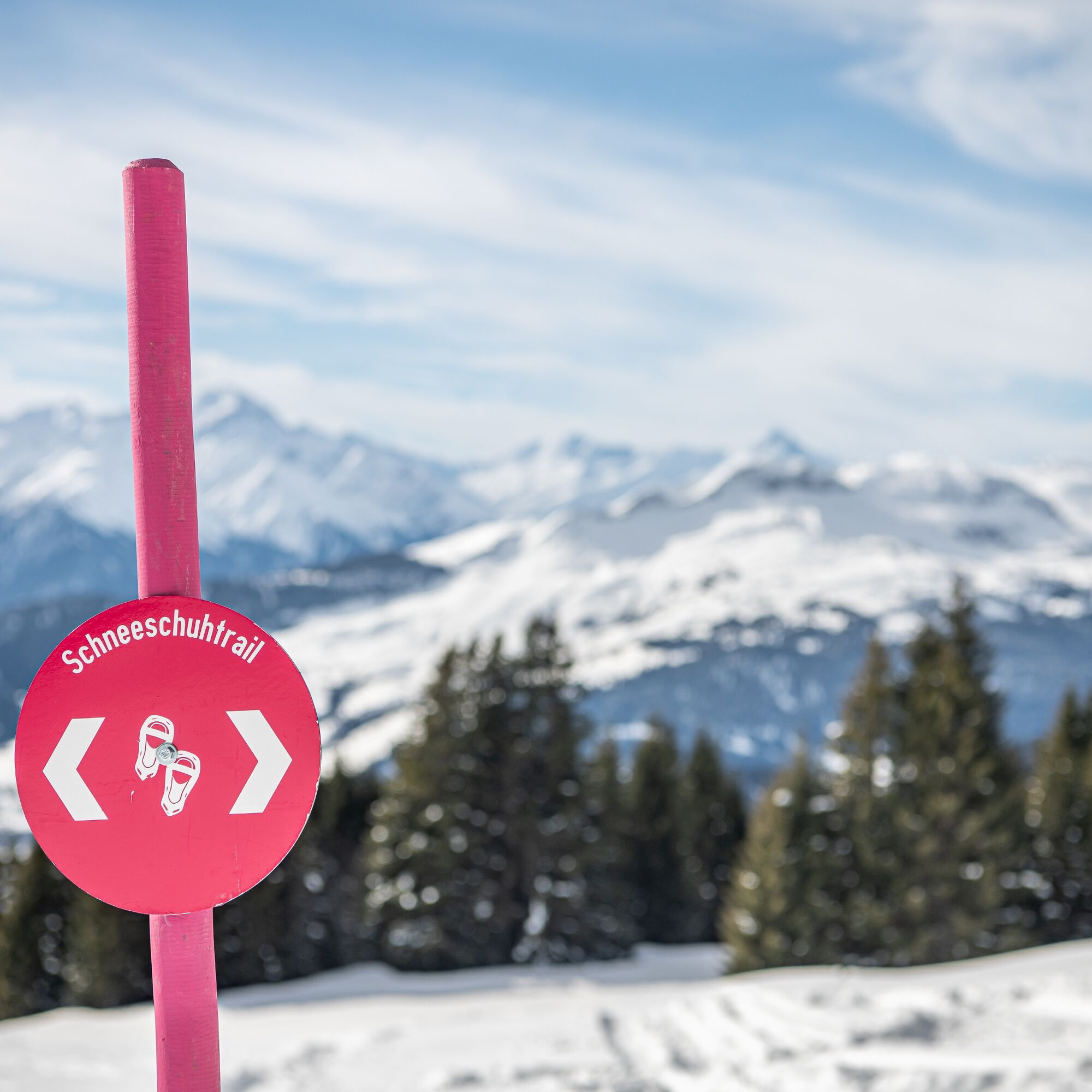
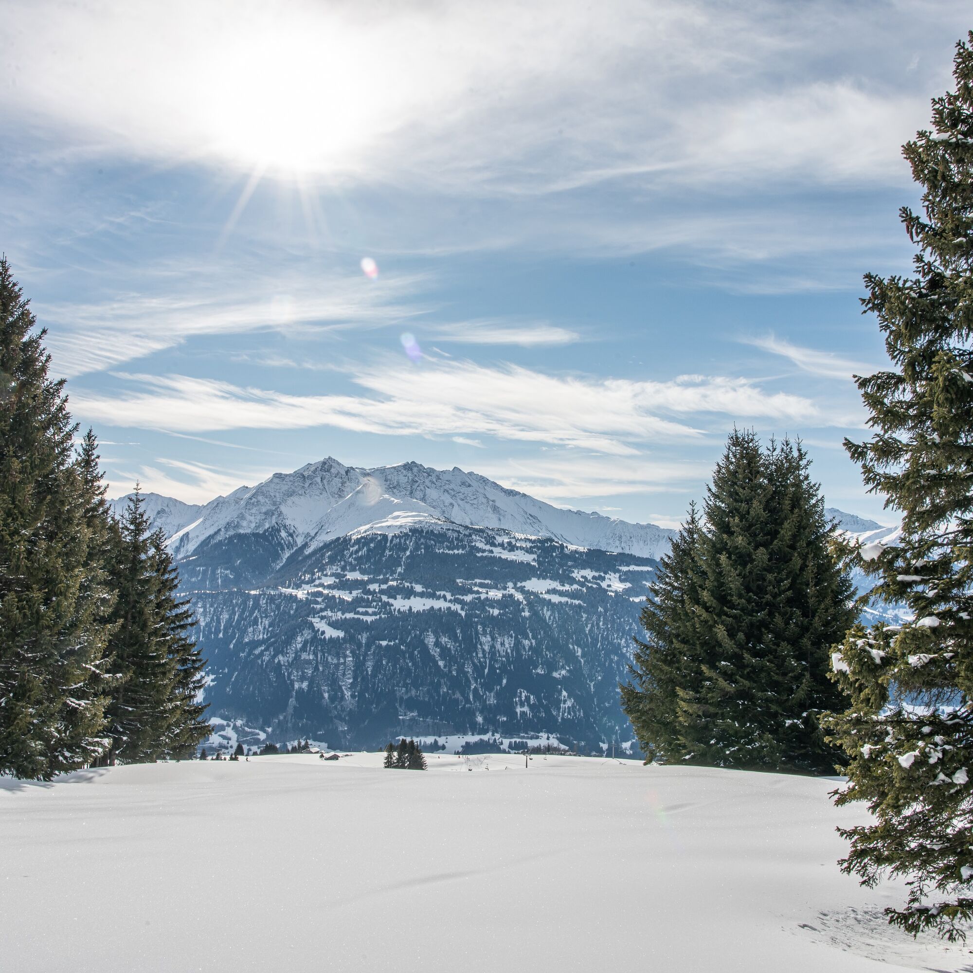

The snowshoe route starts in Curnius at 1644 meters above sea level and gently leads through forests and along the sunny slope to Falera at 1220 meters above sea level.
The nearly four-kilometer-long route runs over wide alpine meadows and through short forest sections. Along the way, you can enjoy a beautiful view over the Surselva to Chur, from the Val Lumnezia far towards Obersaxen. At the end of the trail, there are many restaurants. They serve typical Grisons dishes, such as the house specialty Maluns with alpine cheese and apple sauce.
Ano
Good footwear, winter-appropriate clothing.
Observe the operating hours of the mountain railways.
By car via motorway A13 from Zurich, exit 18 Flims.
Train to Chur, post bus to Laax, post bus from Laax to Falera, stop Falera Parcadi or the public Flims Laax Falera shuttle.
Parking lot with 200 paid parking spaces at the beginning of the village Falera
Guest information Flims Laax Falera
Via Nova 62
CH-7017 Flims
Tel: +41 (0)81 920 92 00
Email: info@flimslaax.com
Web: www.flimslaax.com/winter-schneeschuhwandern
Whether the route is open or closed can be found at the following link: https://live.flimslaax.com/wandern-langlauf
Stop at Ustria Aurora and try the delicious Capuns.
Získejte přehled
Vždy živě na místě s více než 9 500 webkamerami. bergfex Jako uživatel Pro si nyní můžete zobrazit odpovídající webové kamery pro mnoho prohlídek v aplikaci prohlídky z. Můžete si tak přímo prohlédnout aktuální podmínky.
Oblíbené prohlídky v okolí
-
4.9
Rheinschlucht: From Ilanz to Versam into the heart of the Rheinschlucht
středníTuristika 11.4 km -
4.4
4-lake hike: Caumasee - Crestasee - Felsbach Gorge
středníTuristika 12.8 km -
4.8
Rhine Gorge Hike: Senda Ruinaulta (659)
světloTuristika 9.39 km -
4.8
Mountain hike to the Strudeltöpfe on Alp Mora: Bargis-Trin
heavyTuristika 18 km -
4.7
The Water Trail: Trutg dil Flem 764
heavyTematická stezka 8.56 km -
5.0
Caumasee tour: Flims - Caumasee - Conn - Flims
světloTuristika 7.94 km -
5.0
Lower Segnesboden: Nagens Sura - Lower Segnesboden - Segnes hut - Alp Nagens
středníTuristika 6.66 km -
4.3
Historic Pinut via ferrata
středníVia ferrata 5.82 km -
4.7
St. Martin - Alp Sardona - St. Martin
středníTuristika 14.2 km -
5.0
Rhine Gorge Circular Hike
středníTuristika 11.4 km

Pěší turistika a stopování


Nenechte si ujít nabídky a inspiraci pro vaši příští dovolenou
Vaše e-mailová adresa byl přidán do poštovního seznamu.





