




St. Antönien - Pany forest trail (marked trail No. 9)

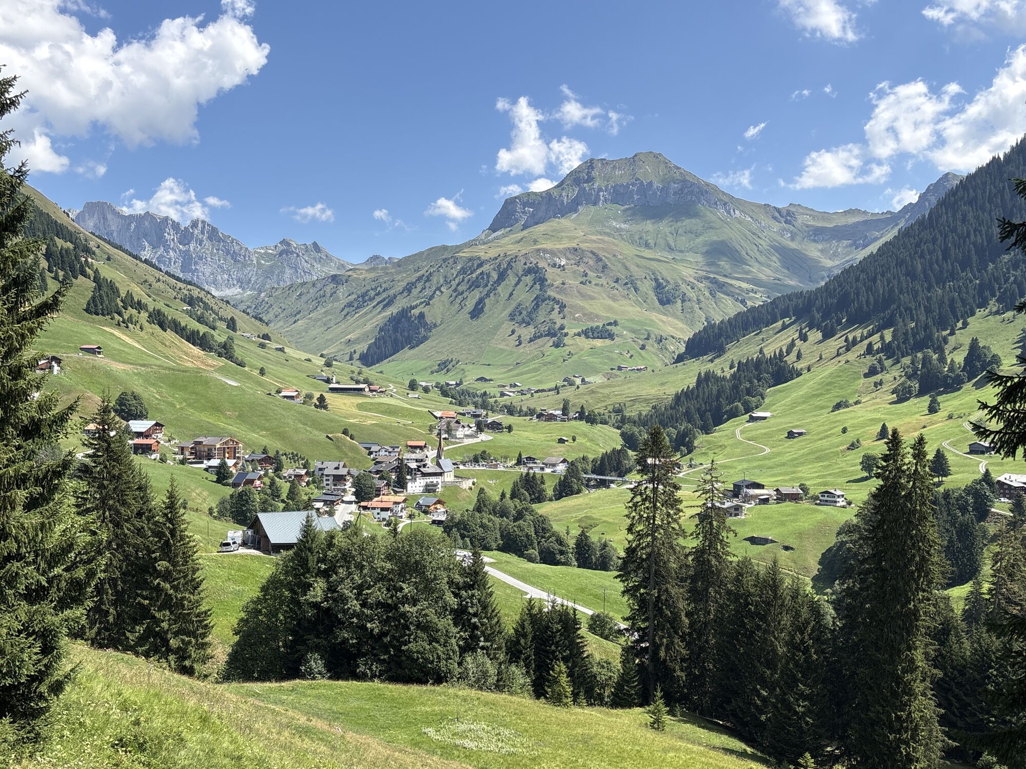
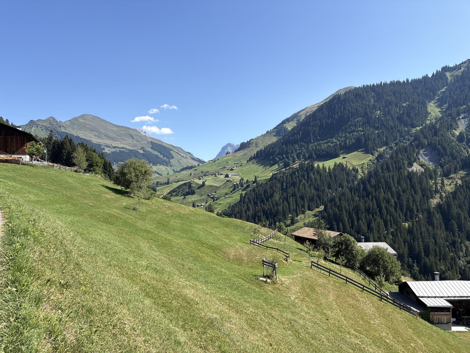
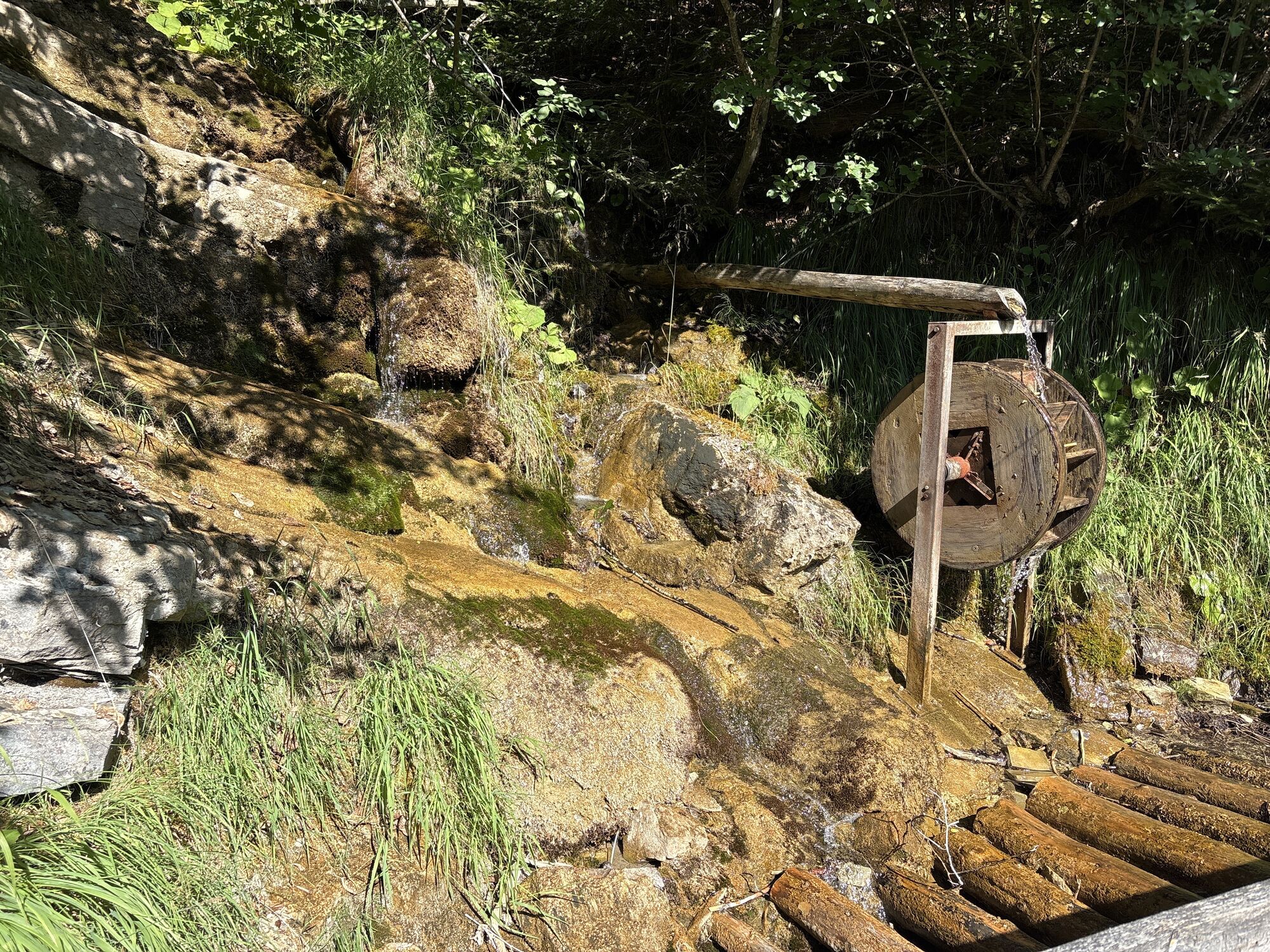
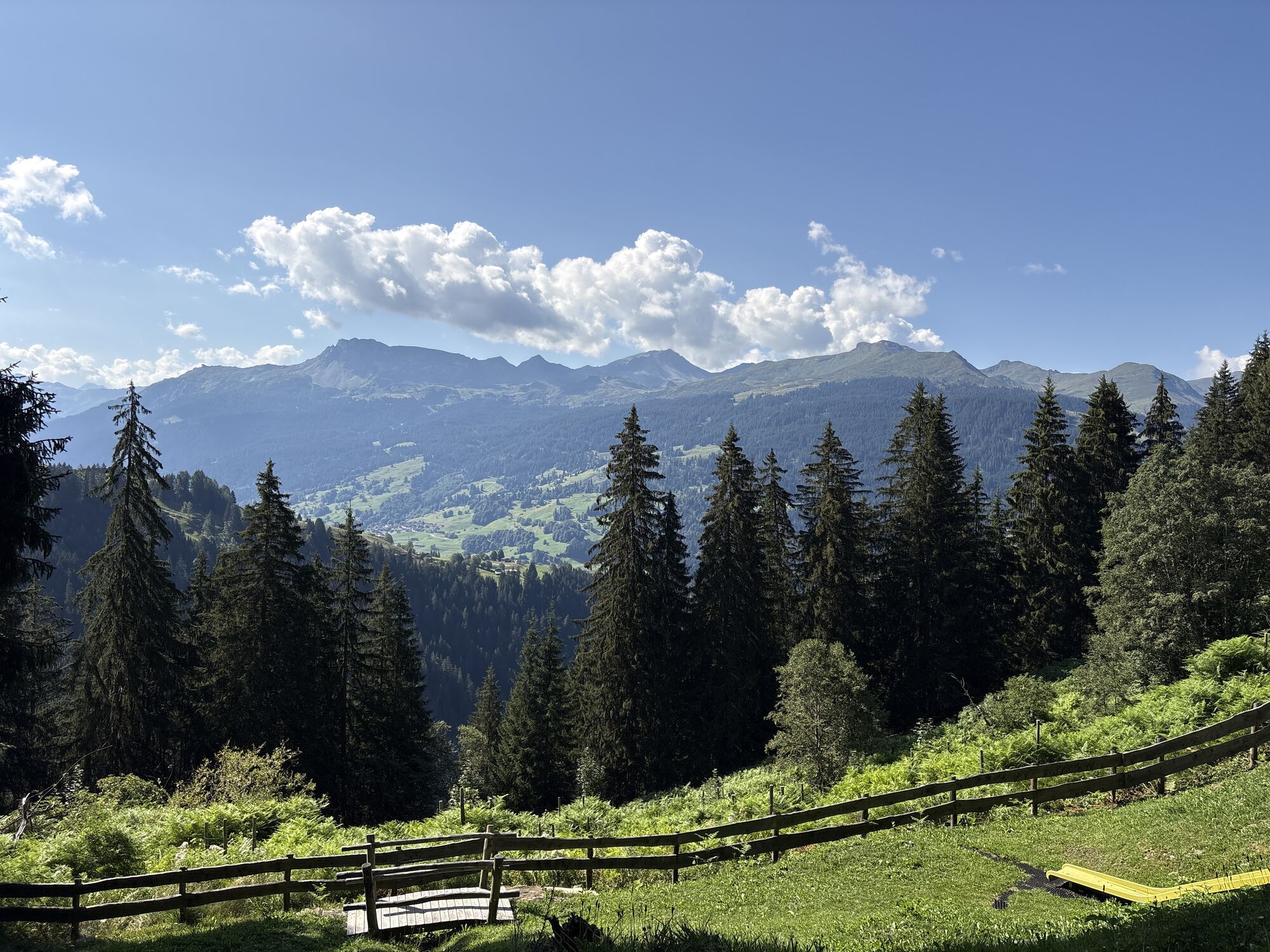
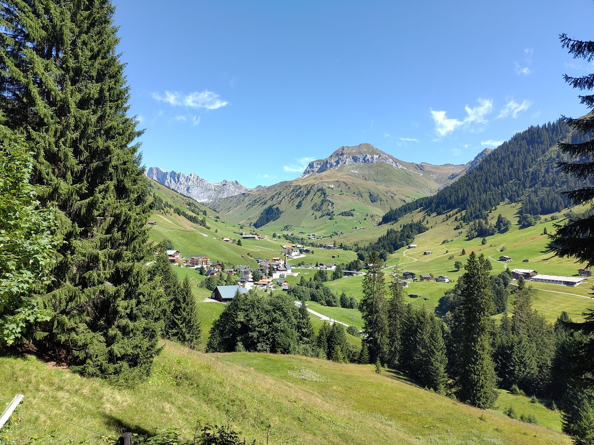
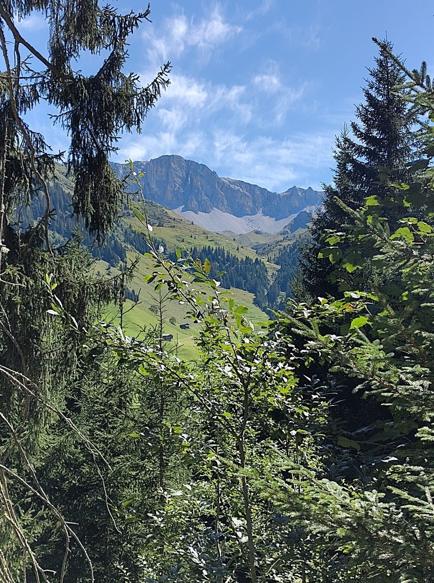


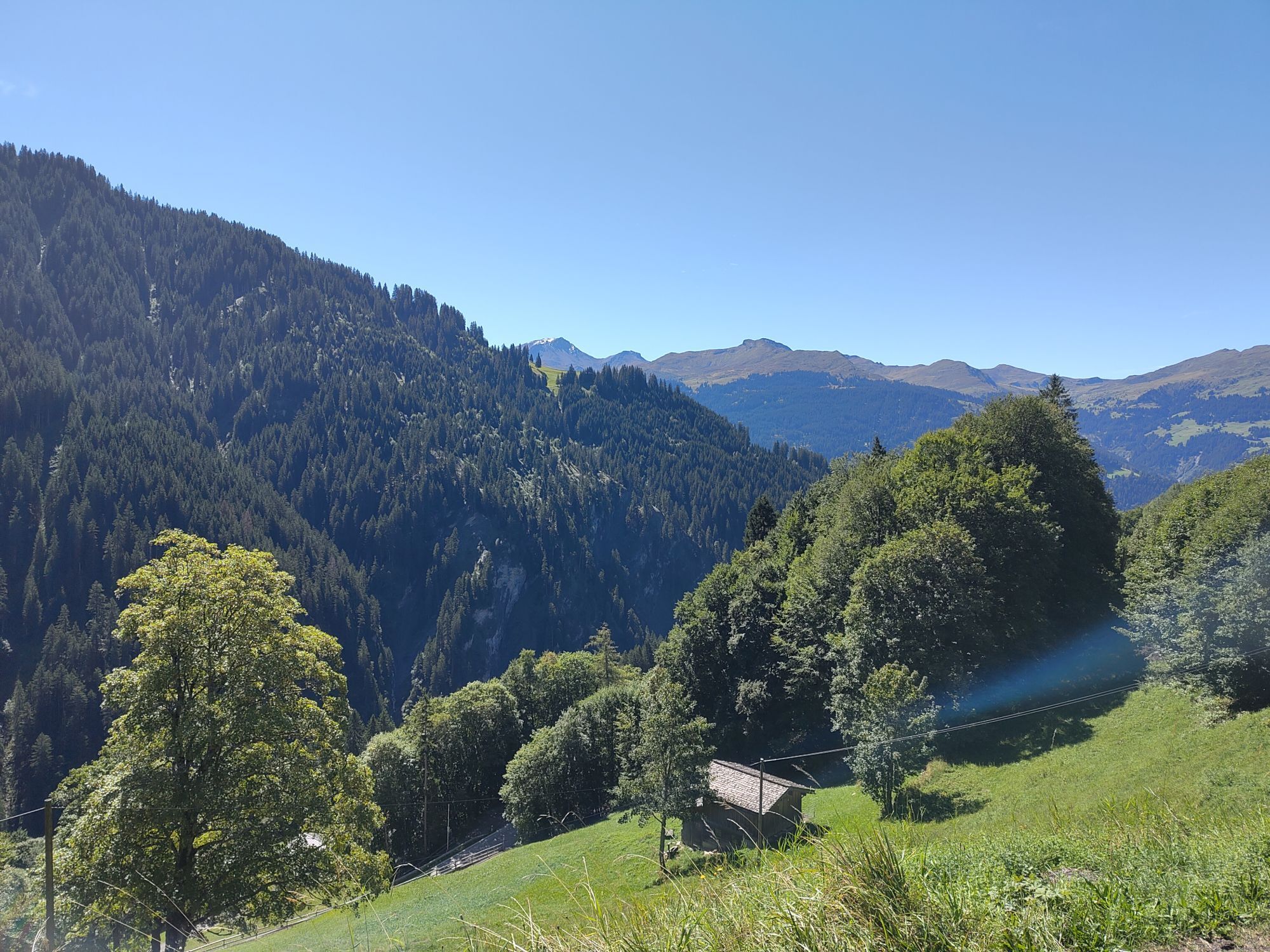
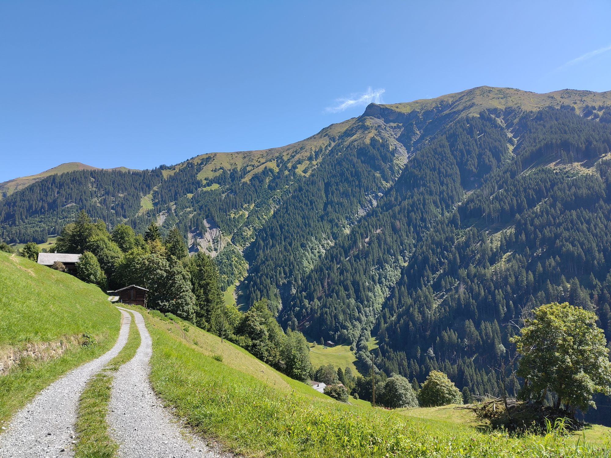
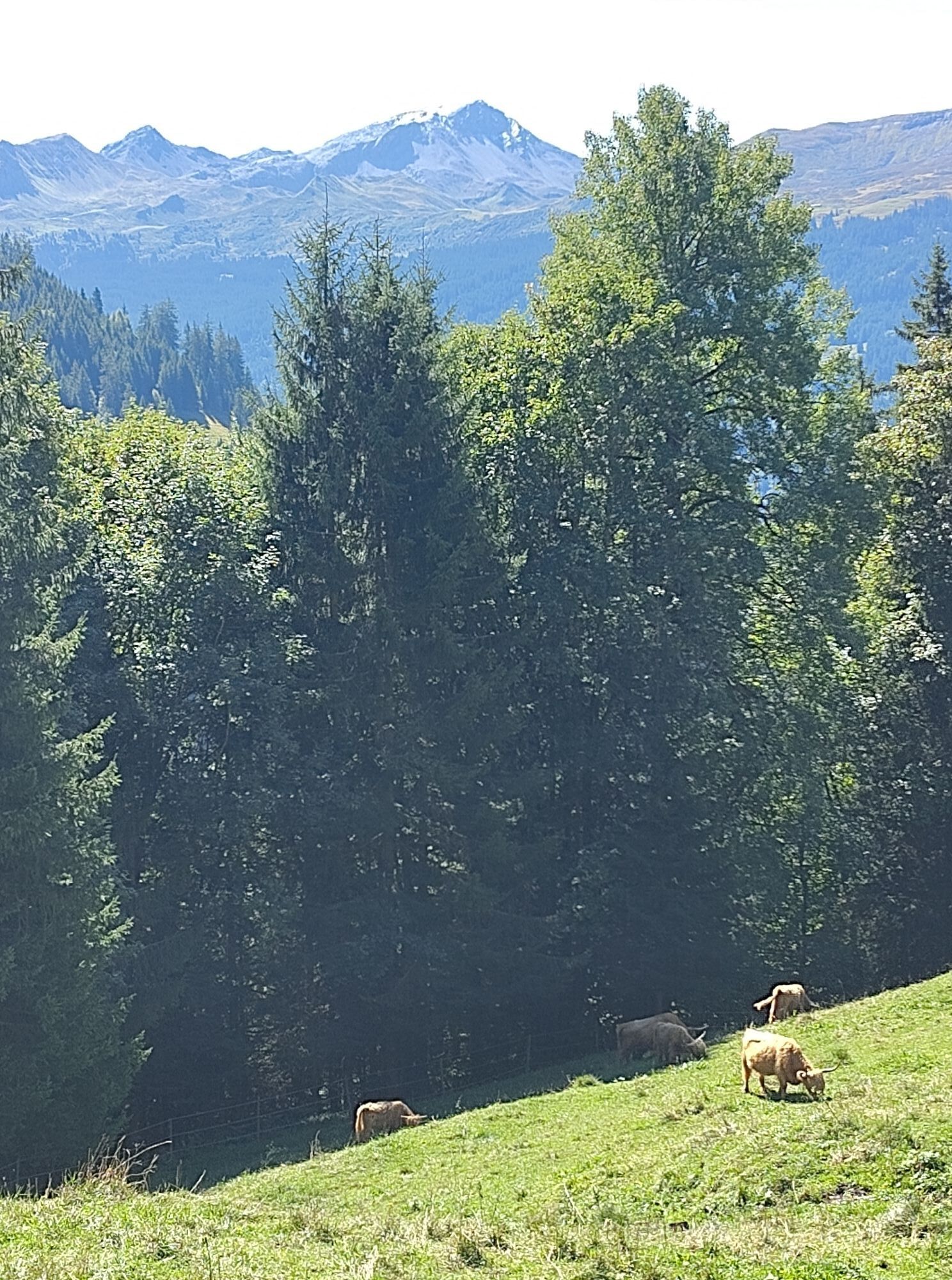
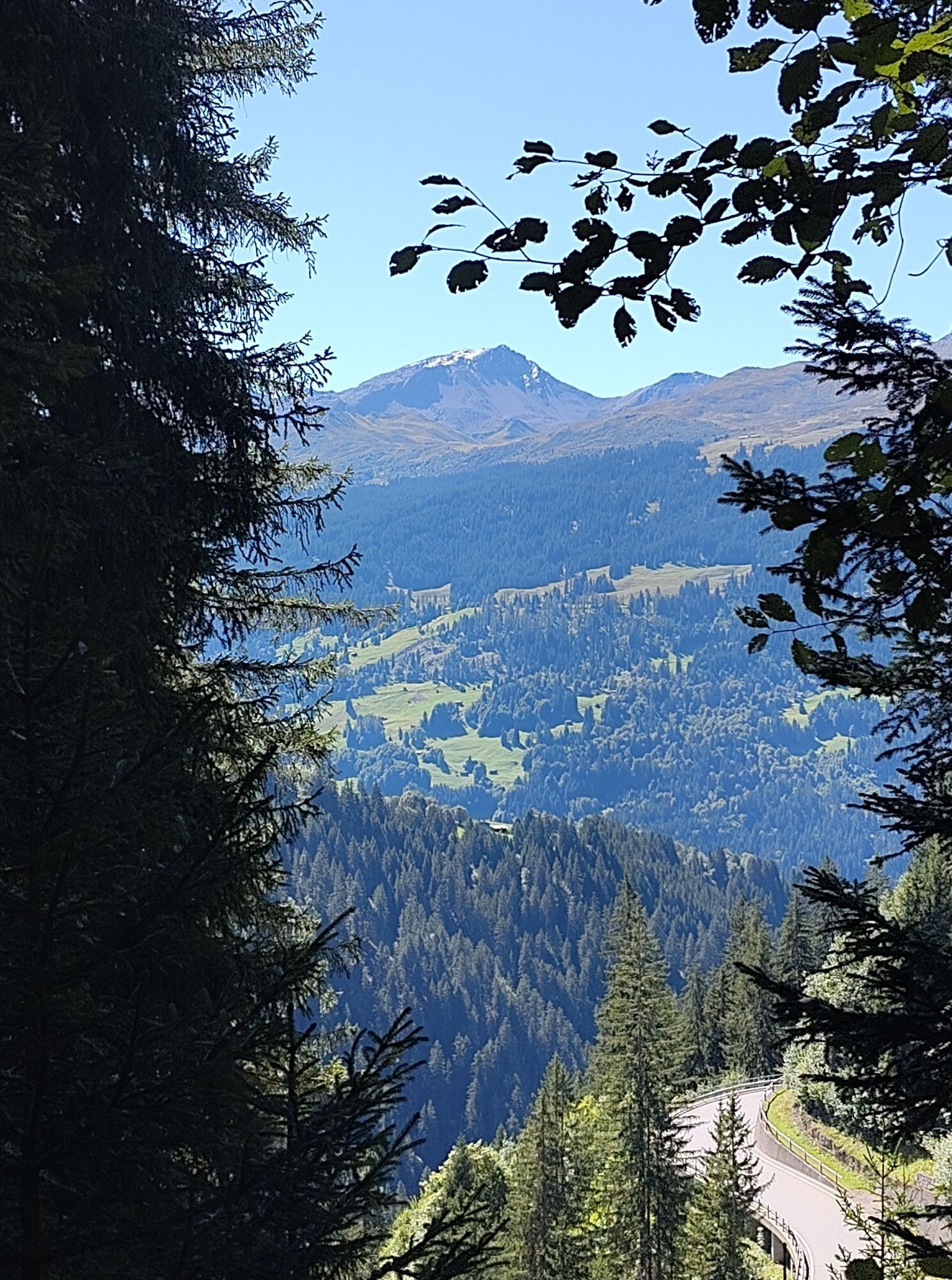
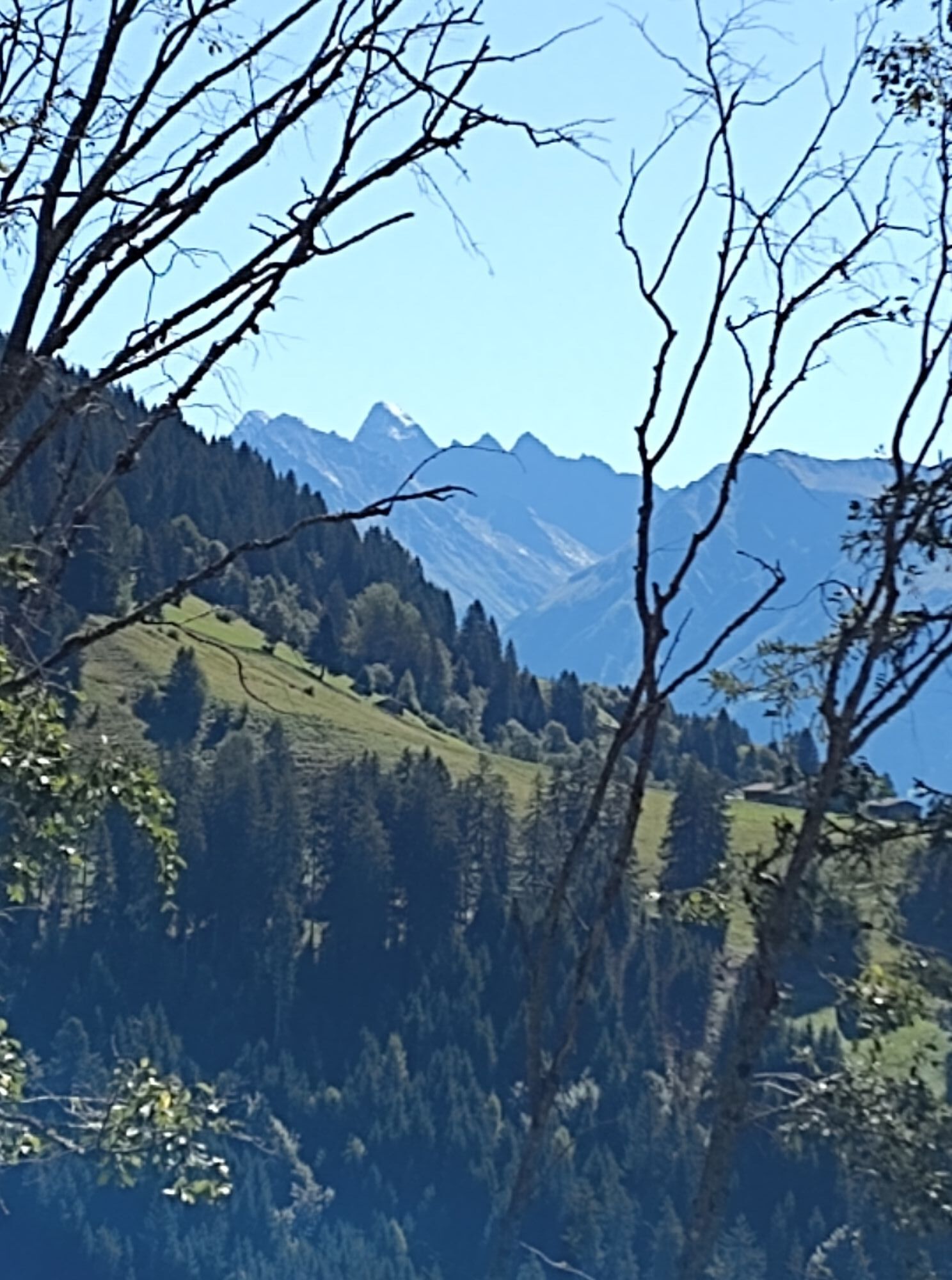
Winter on the nature play trail! In summer, this route is a popular and well-frequented family hiking trail. The beautifully laid out trail with gentle ups and downs is also an ideal snowshoe route in...
Winter on the nature play trail! In summer, this route is a popular and well-frequented family hiking trail. The beautifully laid out trail with gentle ups and downs is also an ideal snowshoe route in winter. With minimal altitude difference, you travel through the deep snowy winter forest from village to village! From Gadenstätt, the trail follows No. 13 Gadenstätter circular route.


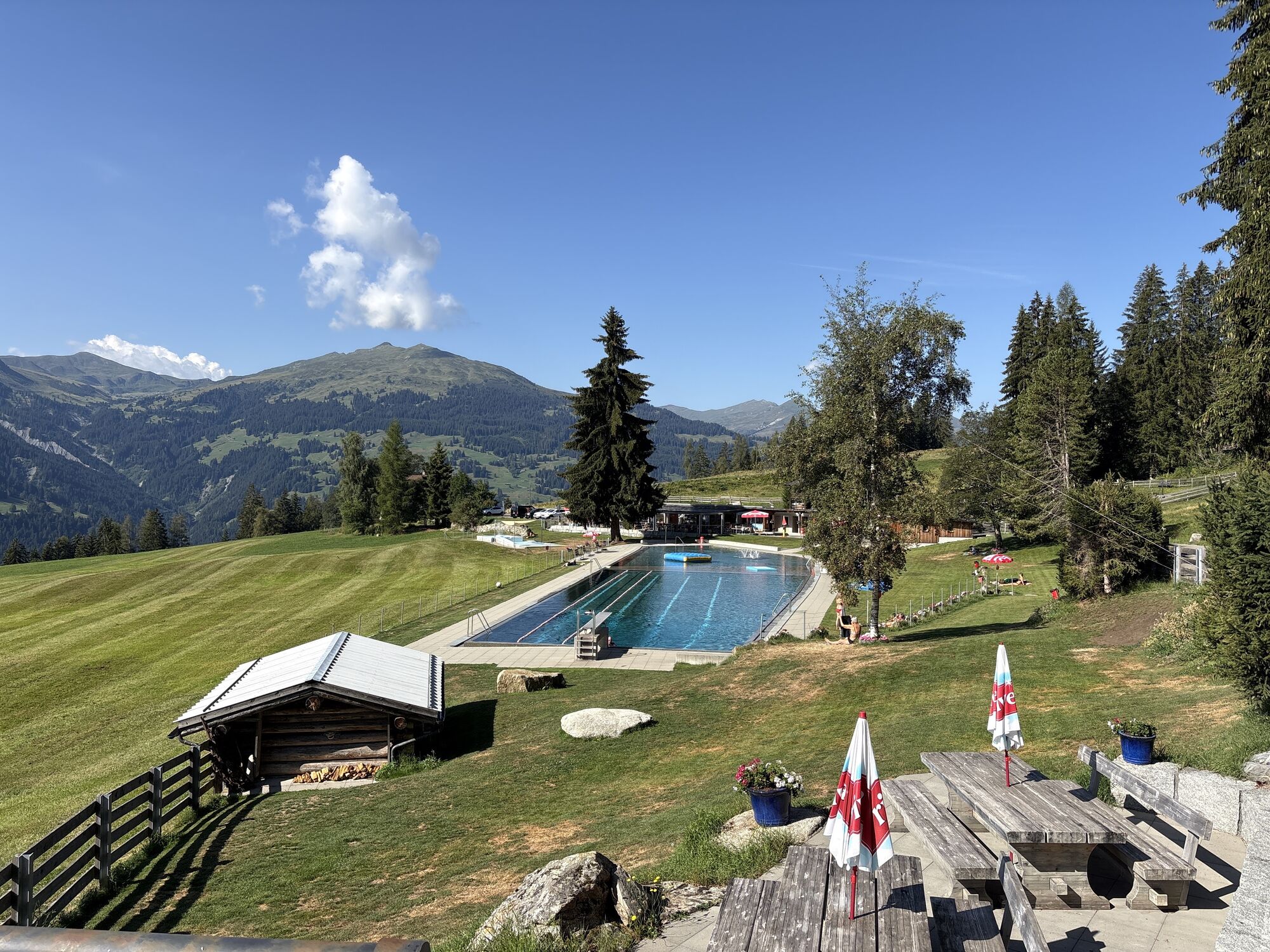
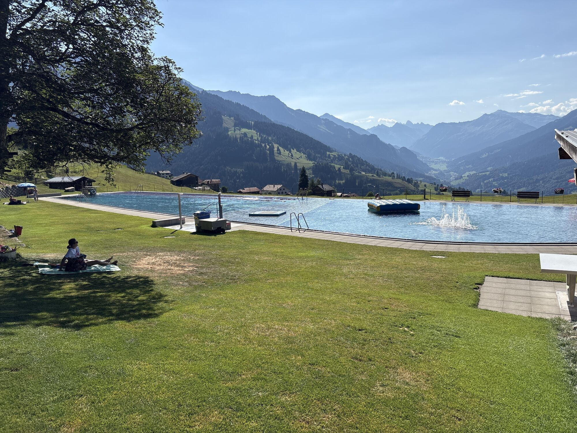
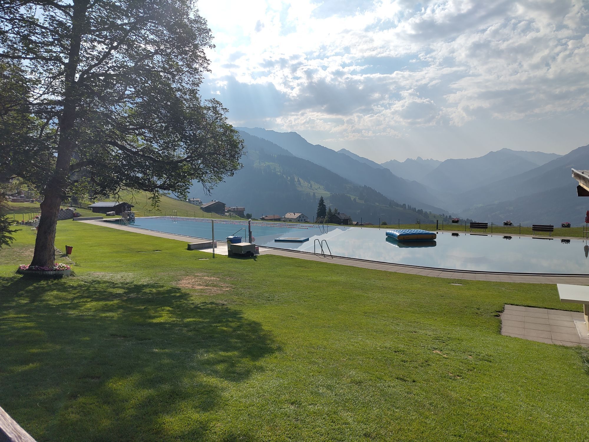
From the starting point at the Postbus stop in St. Antönien Platz, follow trail marker No. 567 to the uppermost holiday chalets on the cleared neighborhood road. The nature play trail then enters the forest and follows the varied summer route with some ups and downs to Gadenstätt. From here, continue a short stretch on the cleared but mostly snow-covered access road of the Gadenstätt farms until the trail leaves again across fields into the forest. In the Willisch Tobel, in the middle of the mountain forest, two small bridges await: cross them carefully, if necessary briefly without snowshoes. Through a final section of forest, you reach the first houses of Pany in 'Haderegg'. From there, follow trail No. 14 to the swimming pool and to the finish at the ski lift parking lot.
Carrying a complete winter touring equipment including an avalanche transceiver is recommended on the marked snowshoe trails of Pany and St. Antönien as well as generally on all tours in the open alpine terrain.
Rental equipment:
Rätikon Sport Küblis, info@raetikonsport.ch, +41 81 332 36 36
Ski lift Pany at info board, self-service
Tour guides:
Dominik Karrer, St. Antönien, info@2000plus.ch, +41 79 761 44 58
Chlasi Salzgeber, Pany, nicolaus.salzgeber@gmail.com, +41 79 518 71 04
Kurt Süess, Pany, kurtsuess@bluewin.ch, +41 76 434 04 73
The time indication is a guideline under good conditions for reasonably experienced tour participants. Times for snowshoe tours can vary greatly depending on conditions, equipment, and fitness. Plan enough time and start early for the planned tour!
This tour description and the markings on the terrain do not constitute a tour recommendation. The decision to go on the tour is the sole responsibility of the individual tour participant. It is strongly advised not to walk under poor visibility conditions (fog, snowfall, etc.) or in areas of increased avalanche danger. Caution for spring conditions: From about March and generally on warm and/or very sunny days, tours must be ended early.
Via the A13 to Landquart, then continue via the B28 to Küblis. Shortly after entering the town, turn left and follow Luzeinerstrasse uphill to Luzein, Pany, St. Antönien.
By the Rhaetian Railway RhB via Landquart or Davos to Küblis and then continue by Postbus to Pany (timetable field 90.222). The Postbus line timetable field 90.218 also runs from Schiers to Pany.
Parking spaces are subject to a fee. Payment can be made with cash, Parkingpay app, Easy-Park or Twint.
Pany-St. Antönien Tourism
Panyerstrasse 39
CH-7243 Pany
Tel. +41 81 300 32 22
info@pany-stantoenien.ch
www.pany-stantoenien.ch
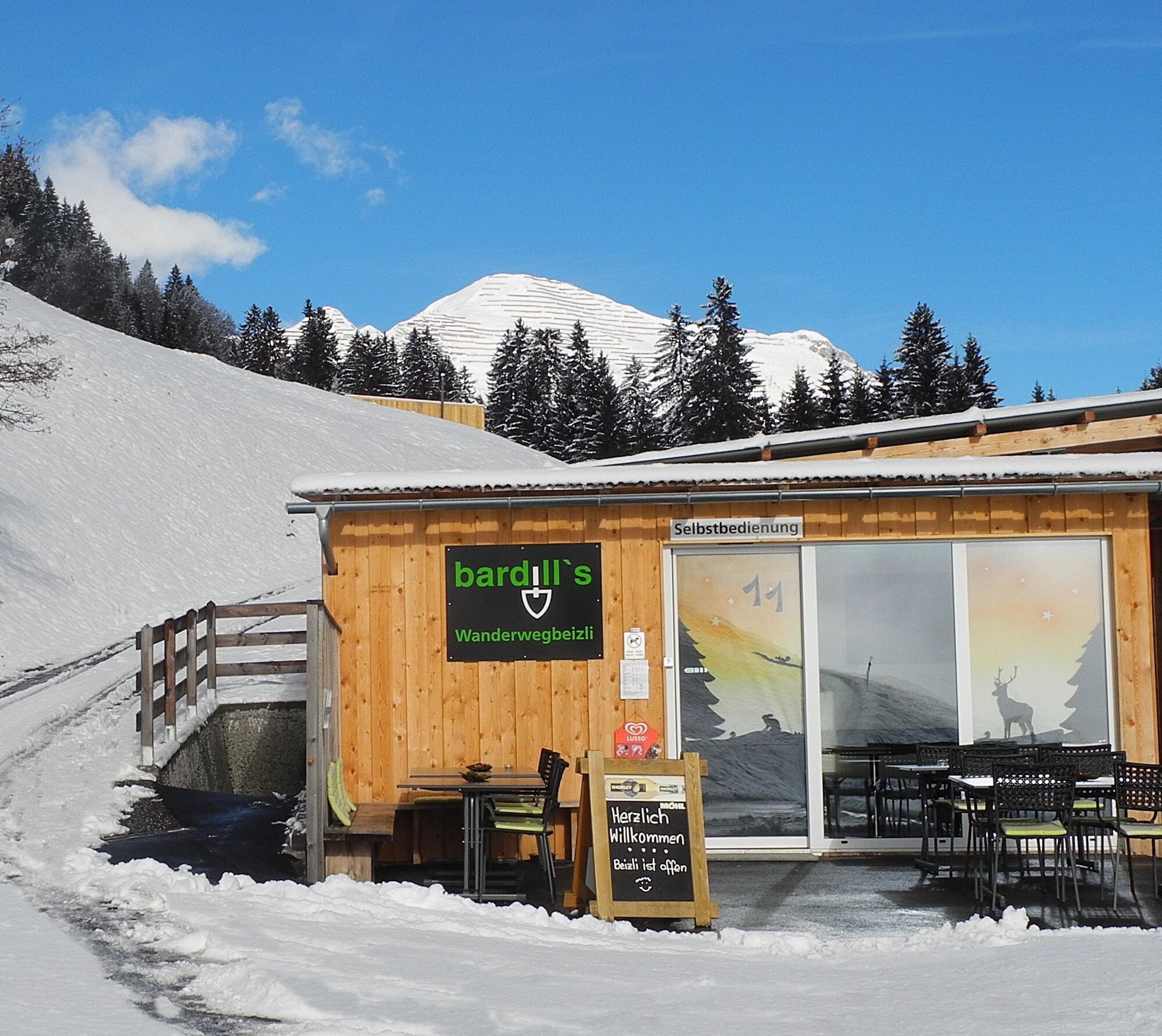
Both in St. Antönien and in Pany, there are dining options in the village center, and at Gadenstätt—ideally halfway—at the lovely self-service tavern on the Bardill farm. The route has two cross exits (shortcuts) to the Postbus: from Holzboden (observe the white nature play trail signs) and from Gadenstätt (cleared neighborhood road). Alternative finish: From the junction point 'Haderegg,' you can also follow the cleared Haderegg road to reach the village center or head uphill to the ski lift parking lot. The route can also be walked well in reverse direction, but to have the sun on your face, the described direction is recommended; there are also slightly fewer ascent meters.

Oblíbené prohlídky v okolí
-
4.7
Douglashütte - Schesaplana
středníTuristika 7.31 km -
4.4
Golmerbahn Bergstaion Grüneck - Golmer Höhenweg - Geißspitze - Lindauer Hütte - Latschau
středníTuristika 11.5 km -
4.8
Douglasshütte, Lünersee, Gafalljoch Brand bei Bludenz, Vorarlberg
světloTuristika 9.16 km -
4.8
Schesaplana
středníVysokohorská turistika 5.26 km -
3.0
Bergstation Grüneck Golmerbahn - Alpe Latschätz - Lindauer Hütte - Latschau
světloTuristika 11.1 km -
4.7
Lünerseebahn Talstation - Douglasshütte - Lünerkrinne - Südl. Schafgafall
heavyTuristika 9.11 km -
4.3
Vandans - Heinrich Hueter Hütte über Gipsköpfle
světloTuristika 7.97 km -
4.7
Lünerseebahn Bergstation - Lünersee Alpe - Douglasshütte
středníTrailrunning 6.10 km -
5.0
Golmerbahn Bergstation Grüneck - Matschwitz - Latschau
světloTuristika 9.94 km -
5.0
Vandans - Totalphütte - Schesaplana - Douglasshütte
středníTuristika 18.0 km
Pěší turistika a stopování


Nenechte si ujít nabídky a inspiraci pro vaši příští dovolenou
Vaše e-mailová adresa byl přidán do poštovního seznamu.


