


Snowshoe trail no. 545 Grauberg
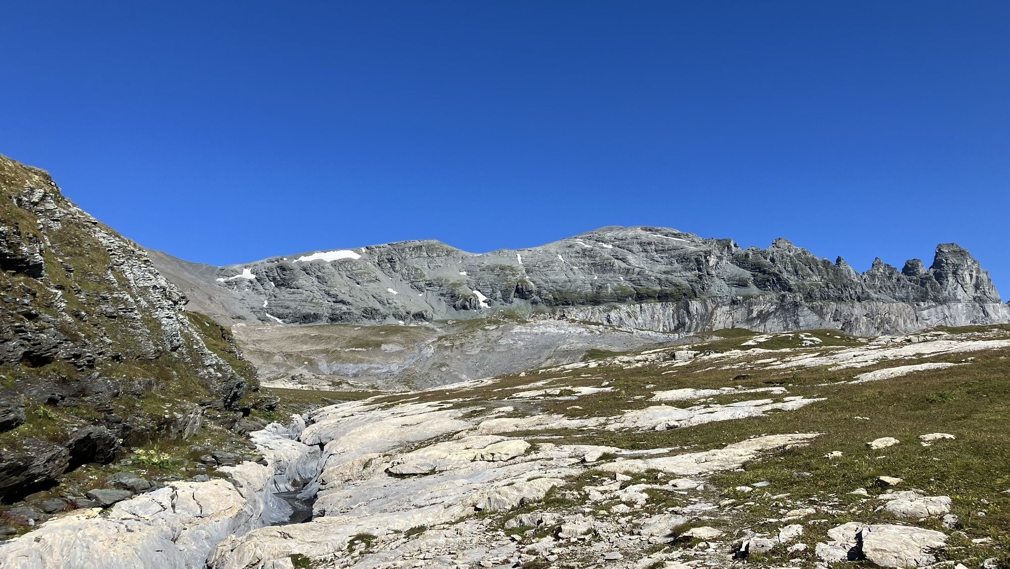
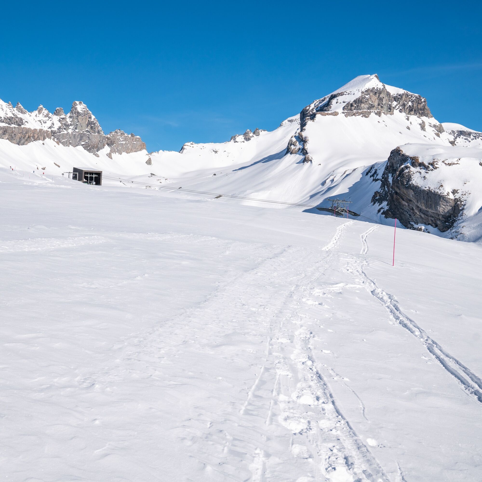
This snowshoe trail leads gently ascending from the Nagens Sura mountain station to the Grauberg. Throughout the tour, you have a breathtaking panoramic view, especially of the impressive mountain range...
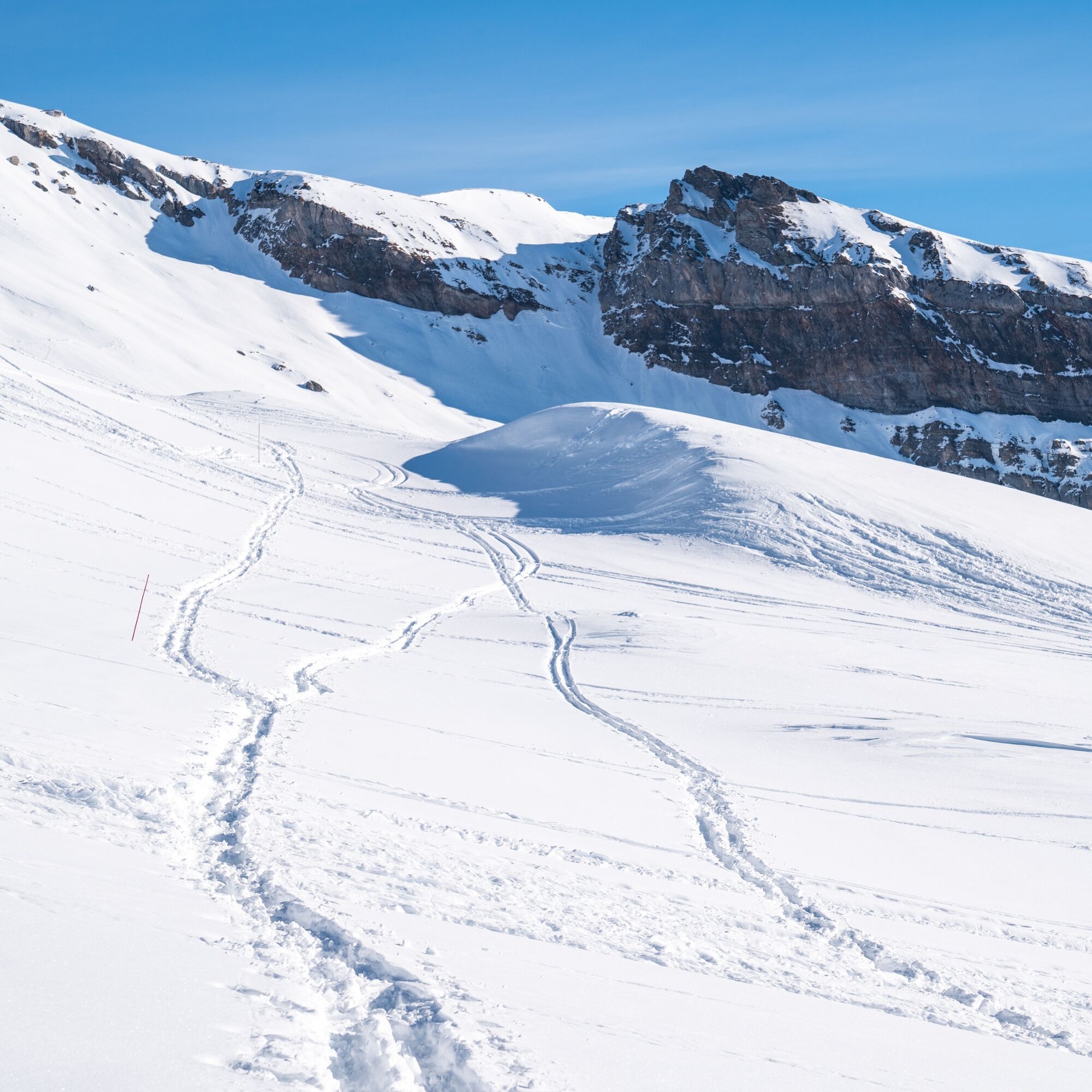
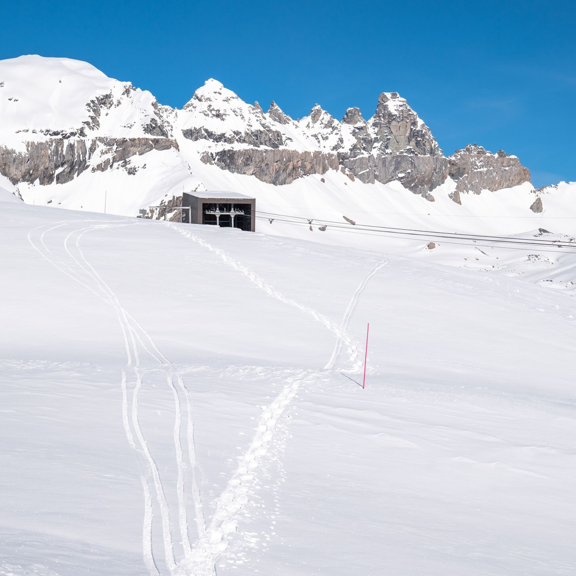
You continue gently ascending along the ridge of the Grauberg, from where you have an impressive view down to the snow-covered Segnesboden. With a bit of luck, you may spot some chamois on the opposite sun slopes. At just over 2400 m above sea level, where the terrain becomes steeper, is the turnaround point of this circular route. A good place to rest and enjoy a picnic.
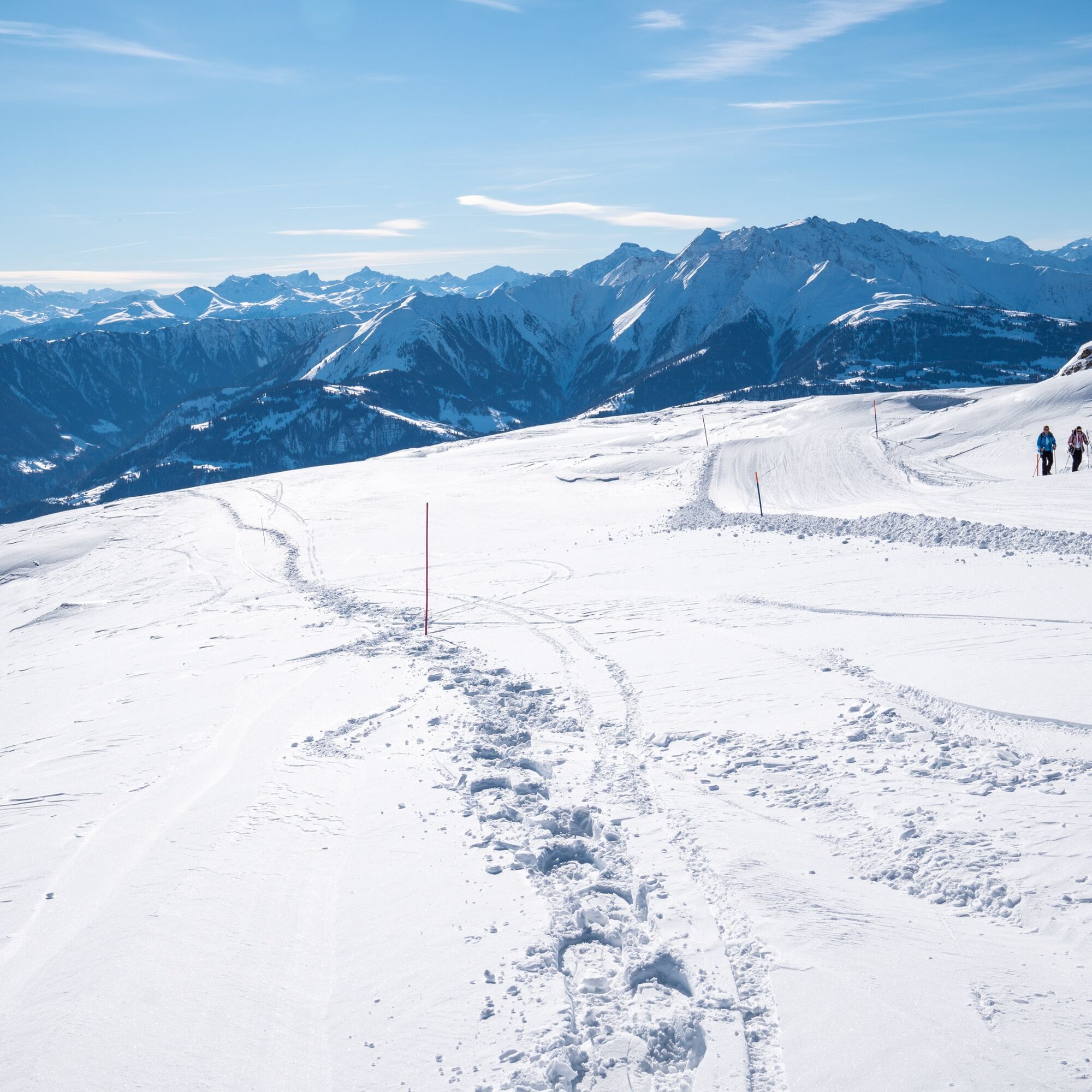
Now the view is directed down the valley – and it is overwhelming: a view of an almost endless panorama over the Grisons Alps. At a leisurely trot, you return to Nagens Sura.

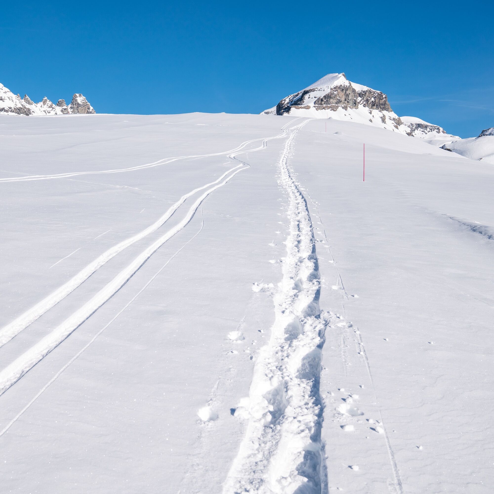
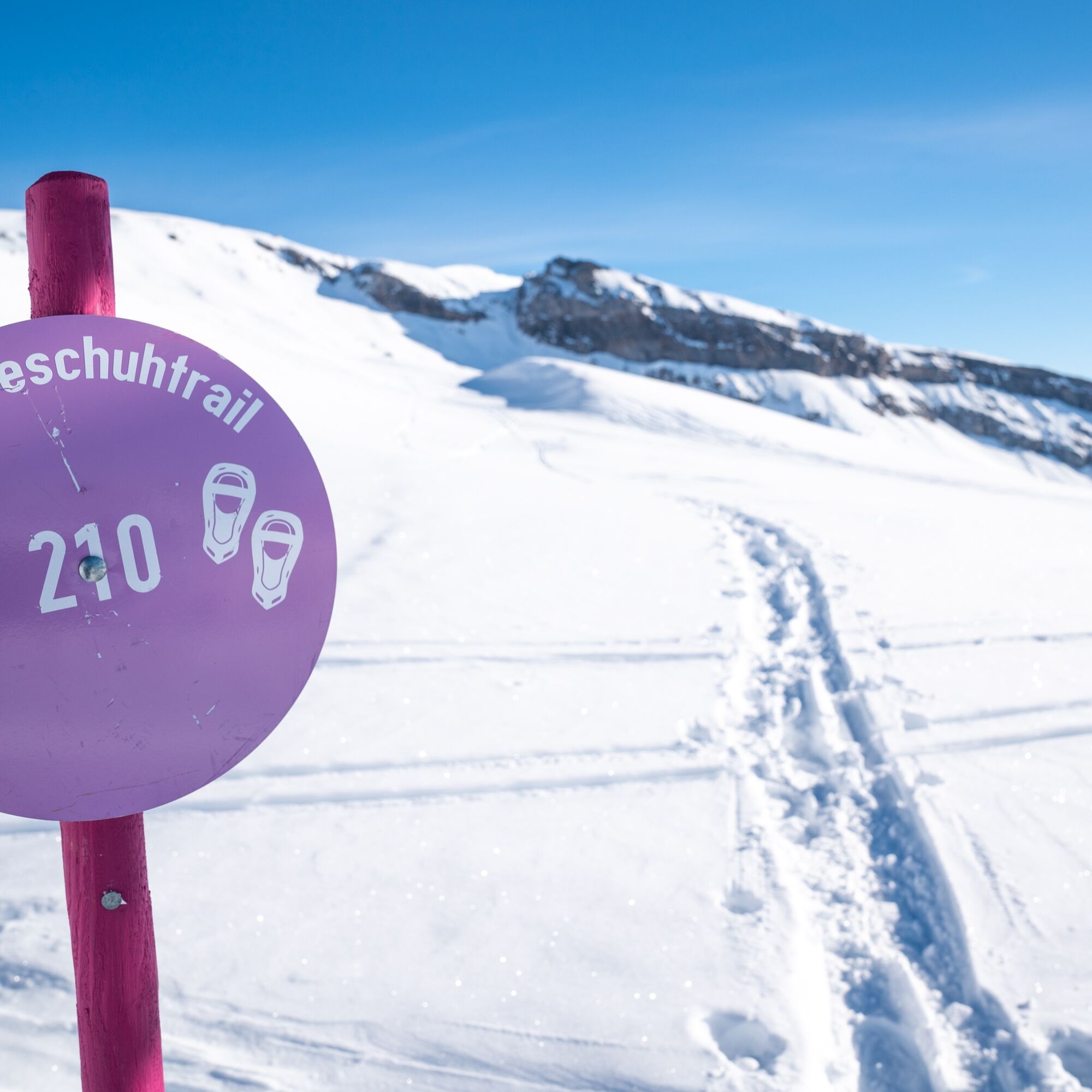
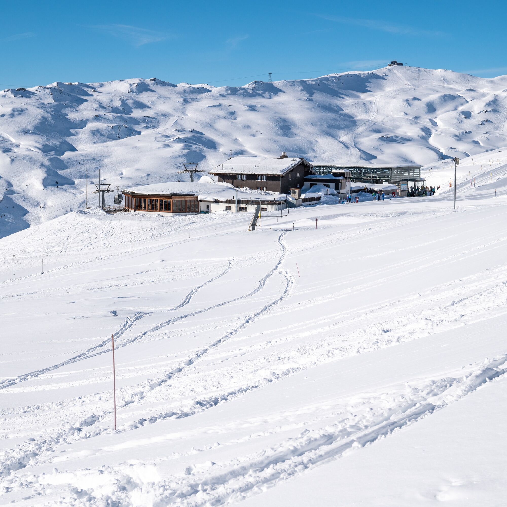
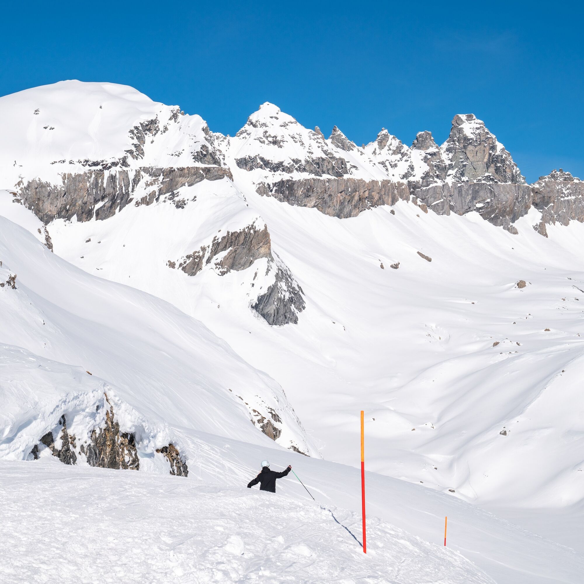
The snowshoe route leads behind the Berghaus Nagens up to the Grauberg station. From there continue ascending along the Grauberg ridge to about 2400 m above sea level and then back to Nagens.
Ano
Ano
Well-functioning snowshoes, poles with winter baskets, good footwear, winter-appropriate clothing. The wind in winter can significantly lower the perceived temperature: do not forget winter gloves, hat, thermos bottle, etc.
By car on the A13 motorway from Zurich, exit 18 Flims/Laax
Then by gondola lift FlemX to Nagens Sura.
750 parking spaces in the Stenna parking garage Flims Bergbahnen
Guest Information Flims Laax Falera
Via Nova 62
CH-7017 Flims
Tel: +41 (0)81 920 92 00
E-Mail: info@flimslaax.com
Web: www.flimslaax.com/winterwandern
Whether the route is open or closed can be found at the following link: https://live.flimslaax.com/wandern-langlauf
Visit the Freeride Base at Nagens, the meeting point for freeriders and home to our ski patrol: Here you can get excellent coffee!
Webové kamery z prohlídky
Oblíbené prohlídky v okolí
-
4.5
4-lake hike: Caumasee - Crestasee - Felsbach Gorge
středníTuristika 12.8 km -
4.8
Rheinschlucht: From Ilanz to Versam into the heart of the Rheinschlucht
středníTuristika 11.4 km -
4.7
Rhine Gorge Hike: Senda Ruinaulta (659)
světloTuristika 9.39 km -
4.7
The Water Trail: Trutg dil Flem 764
heavyTematická stezka 8.56 km -
5.0
Caumasee tour: Flims - Caumasee - Conn - Flims
světloTuristika 7.94 km -
4.7
Mountain hike to the Strudeltöpfe on Alp Mora: Bargis-Trin
heavyTuristika 18 km -
5.0
Lower Segnesboden: Nagens Sura - Lower Segnesboden - Segnes hut - Alp Nagens
středníTuristika 6.66 km -
4.5
St. Martin - Alp Sardona - St. Martin
středníTuristika 14.2 km -
4.3
Circular hike: Falera-Curnius-Alp Dadens-Falera
středníTuristika 11.4 km -
3.0
Tour zum Martinsloch
heavyTuristika 3.82 km
Pěší turistika a stopování


Nenechte si ujít nabídky a inspiraci pro vaši příští dovolenou
Vaše e-mailová adresa byl přidán do poštovního seznamu.