


Regional Bikeroute Engiadina Bassa: Susch – Ftan (442.01)
Úroveň obtížnosti: S1
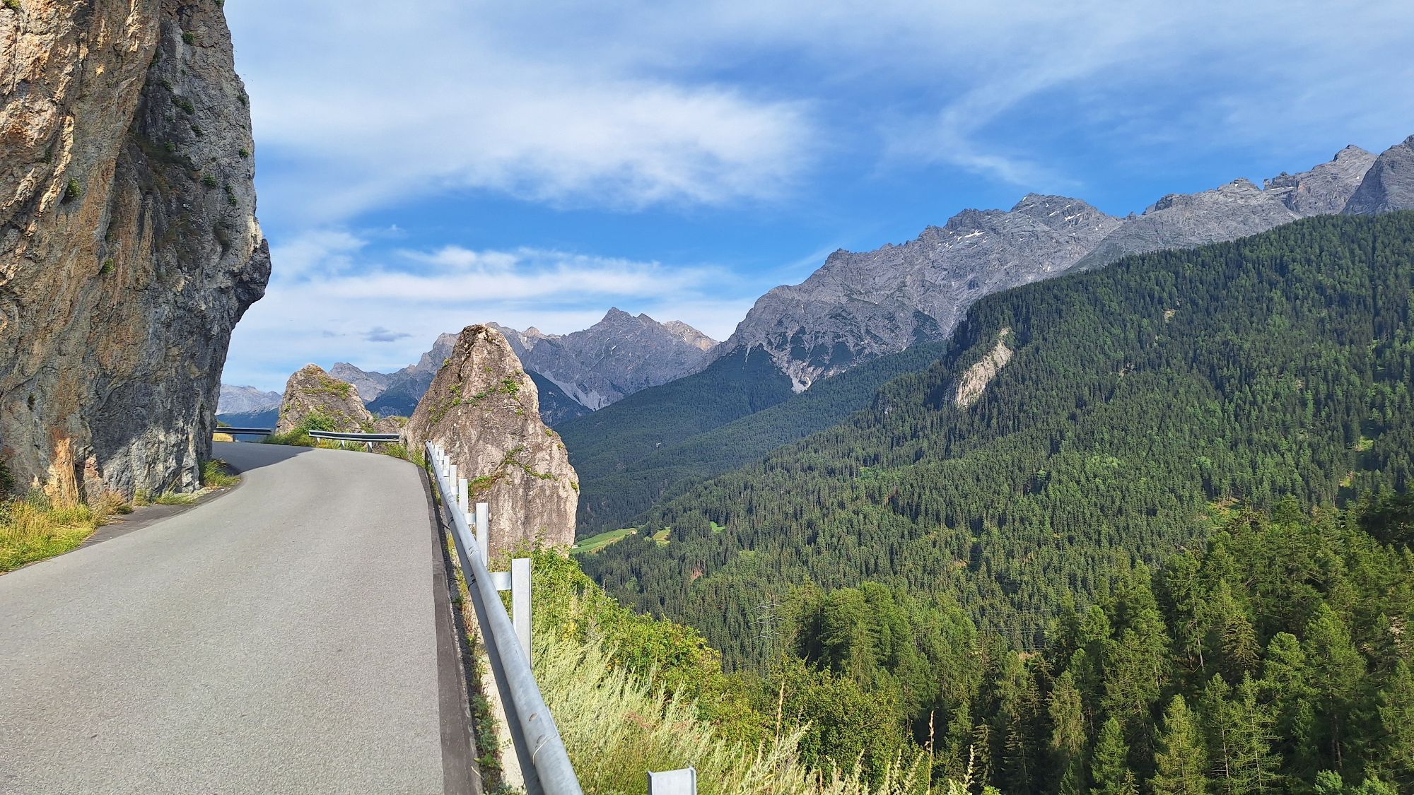
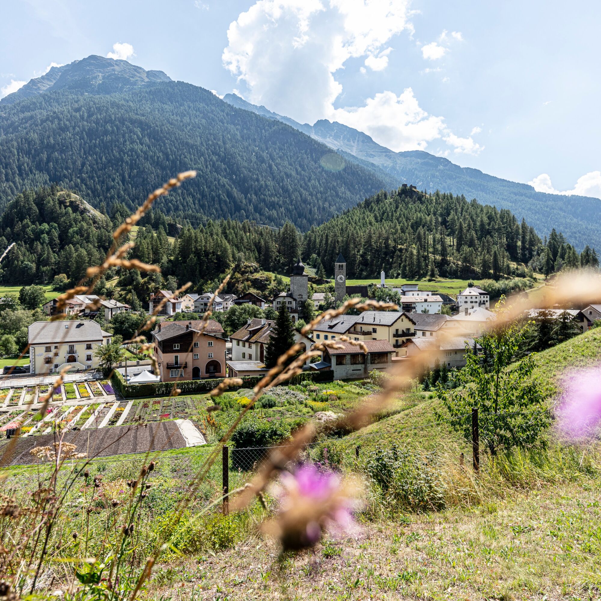
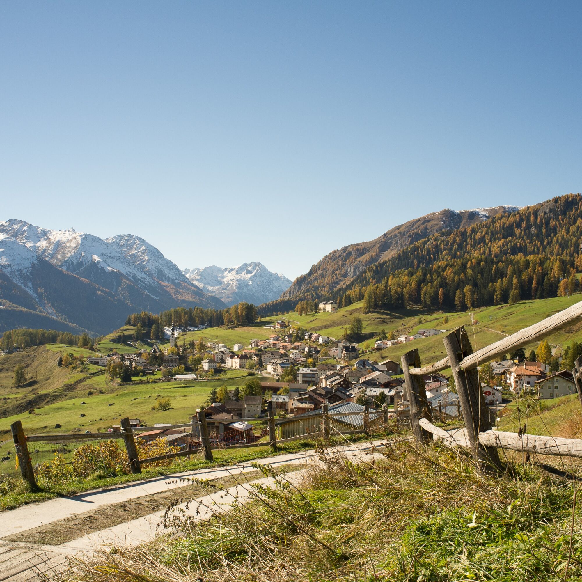
The regional bikeroute 442 starts in the historic mountain pass village of Susch and follows the Inn gently downhill past Lavin to Giarsun below Guarda. From here the path rises slightly to Sur En d'Ardez....
The regional bikeroute 442 starts in the historic mountain pass village of Susch and follows the Inn gently downhill past Lavin to Giarsun below Guarda. From here the path rises slightly to Sur En d'Ardez. This offers an impressive panoramic view of Guarda in the northwest, Bos-cha, Munt, and Ardez at the foot of the Steinsberg castle ruins in the north, and Tarasp with its striking castle to the east.
After crossing the Inn, a long steady ascent follows to Ftan.


Susch train station (1435 m)
Crossing Susch
Surpunt
uphill on forest roads
via Padnal to the masts of the high voltage line
descent to Lavin
on the right side of the Inn
Plain of Planturen
Giarsun
Sur En d'Ardez
descent to the Inn bridge (1298 m)
counter ascent via Ardez
Ftan (1630 m)
Helmet, gloves, good footwear, glasses, rain and sun protection, water bottle, repair kit, first aid kit
The route was rated under favorable weather conditions; current weather conditions and forecasts must be carefully observed before starting the tour. This route requires a high degree of riding safety, balance, and technical ability.
Emergency numbers:
144 emergency call, first aid
1414 mountain rescue REGA
112 international emergency call
Consideration for hikers
Please be considerate when crossing and overtaking hikers. The Graubünden mountain bike routes run largely on single trails which are also signposted as hiking trails. Hikers generally have the right of way.
From the north: via Landquart – Klosters by car shuttle through the Vereina tunnel (Selfranga - Sagliains) or via Flüela Pass into the Lower Engadin on H27
From the east: via Landeck/Austria towards St. Moritz on H27
From the south: via Reschen Pass (Nauders-Martina) or Ofen Pass (Val Müstair-Zernez) on H27
Susch is located directly at Flüela Pass and on the Engadin road H27 (5 minutes drive from Vereina south portal)
Accessible by train and bus
By Rhaetian Railway (from Chur, Landquart/Prättigau, from Upper Engadin) or hourly from Scuol to Susch train station
Paid parking spaces at the station in Susch
S1
Sur En d'Ardez provided the backdrop for the film «Schellen-Ursli» in winter 2014/15. A stop at the fountain and a walk through the hamlet are recommended, as well as the view across the Inn towards Guarda and Ardez.
Oblíbené prohlídky v okolí
-
4.8
Hiking trail Piz Buin - view
středníTuristika 14.4 km -
5.0
Großer Piz Buin (3.312m), Normalweg 2019 über Ochsentaler Gletscher
heavyVysokohorská turistika 24.1 km -
2.0
Bielerhöhe - Vermuntkopf - Bielerhöhe
středníTuristika 17 km -
Ascent of Hohes Rad and stop at the Wiesbadener Hut
heavyTuristika 15.8 km -
4.5
Tarasp Fontana – Sparsels – Lai Nair (circular route)
světloTuristika 7.67 km -
4.0
National Park: Margunet
světloTuristika 7.76 km -
4.8
National Park: Grimmels (circular hike)
světloTuristika 6 km -
5.0
Schneeglocke
středníLyžařská trasa 19.1 km -
4.0
Prui – Piz Clünas – Alp Laret – Ftan
středníTuristika 13.6 km -
5.0
San Jon – Chamonna Lischana (return)
středníTuristika 12.0 km
Pěší turistika a stopování


Nenechte si ujít nabídky a inspiraci pro vaši příští dovolenou
Vaše e-mailová adresa byl přidán do poštovního seznamu.