


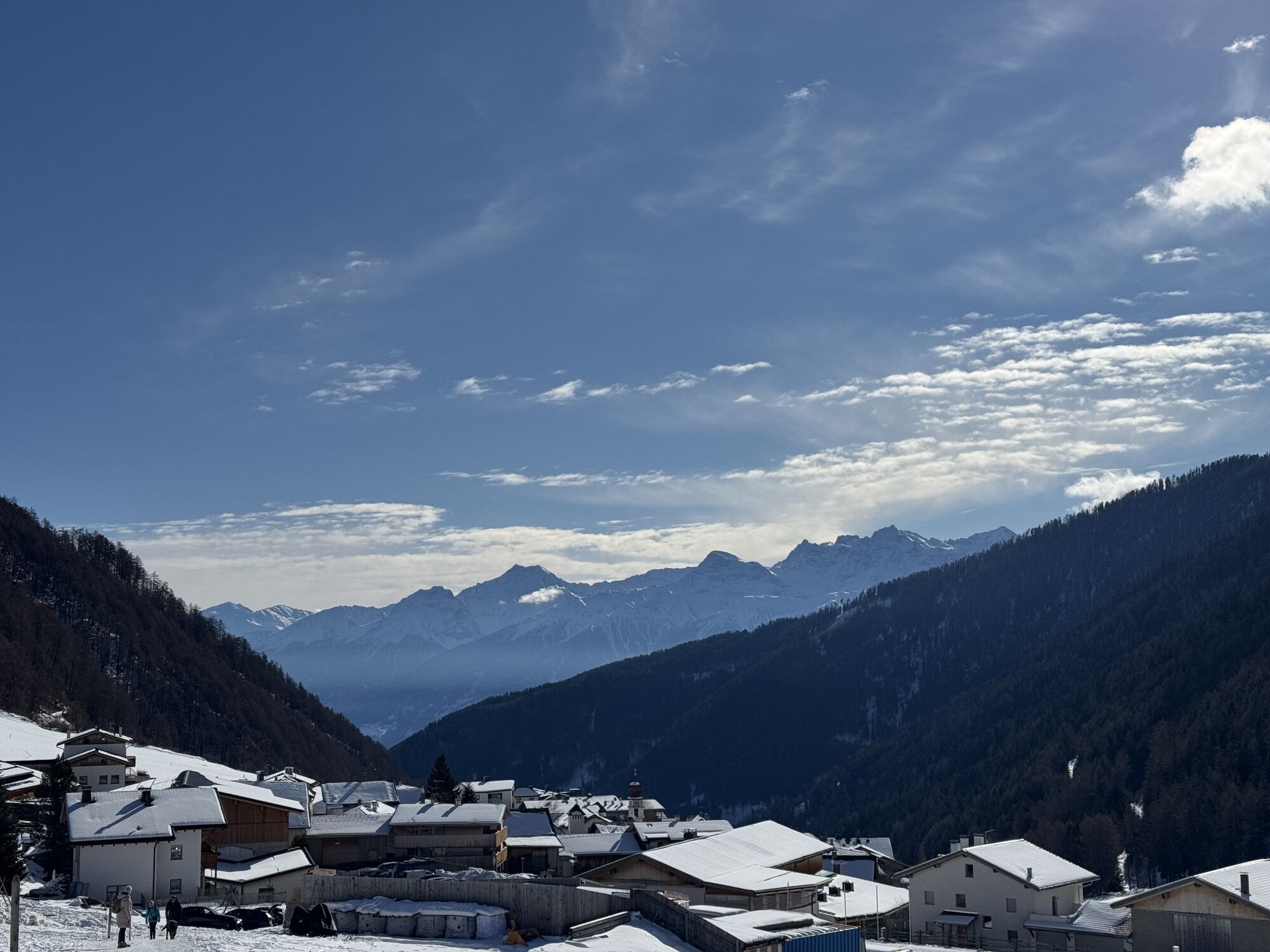
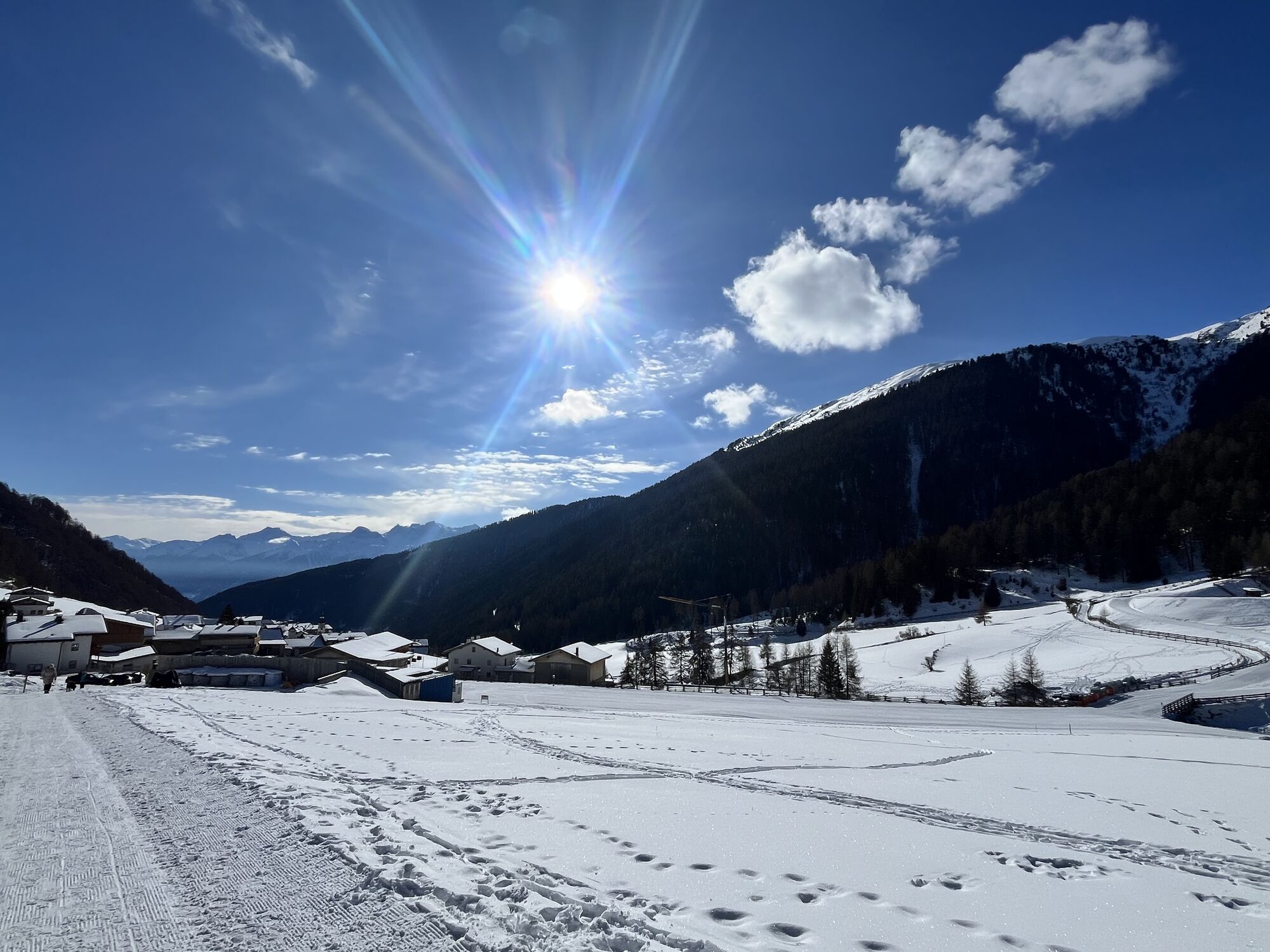
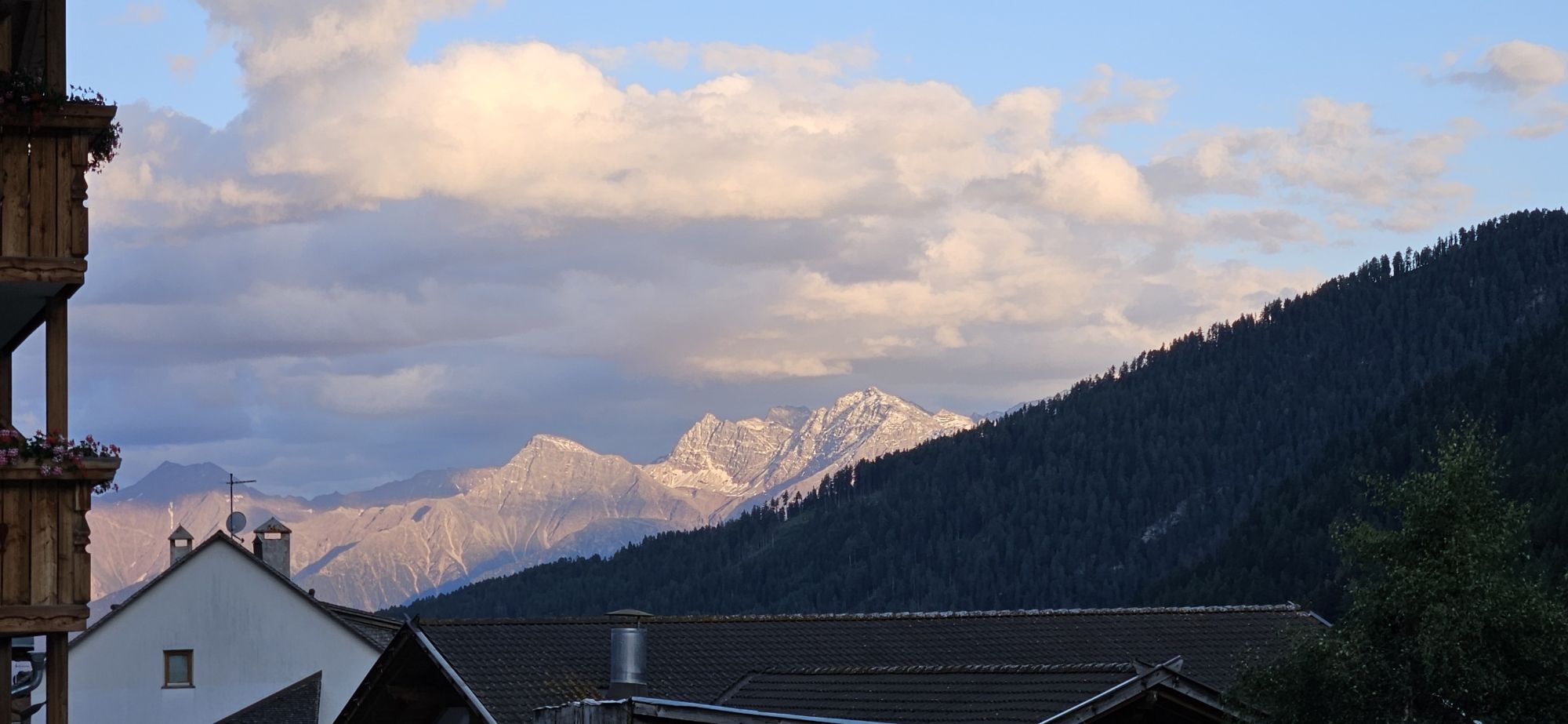
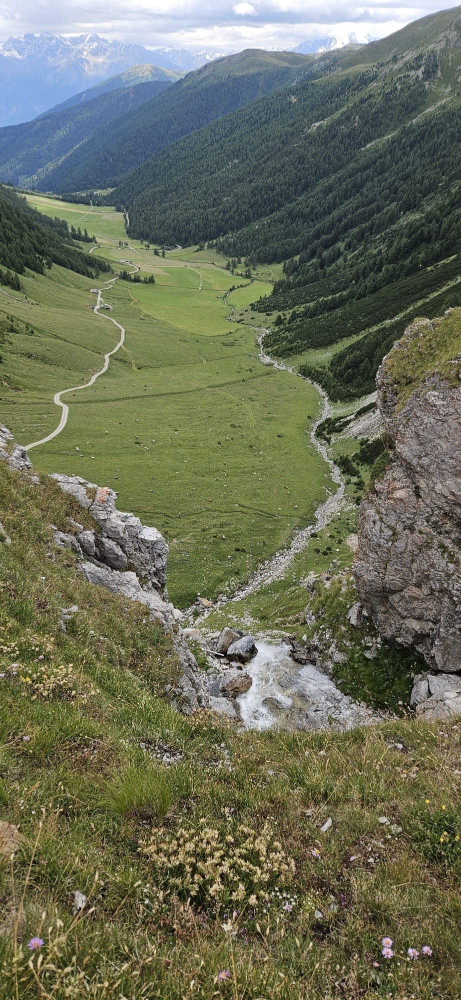
32.02 Scuol–Sta. Maria, Trans Altarezia Bike
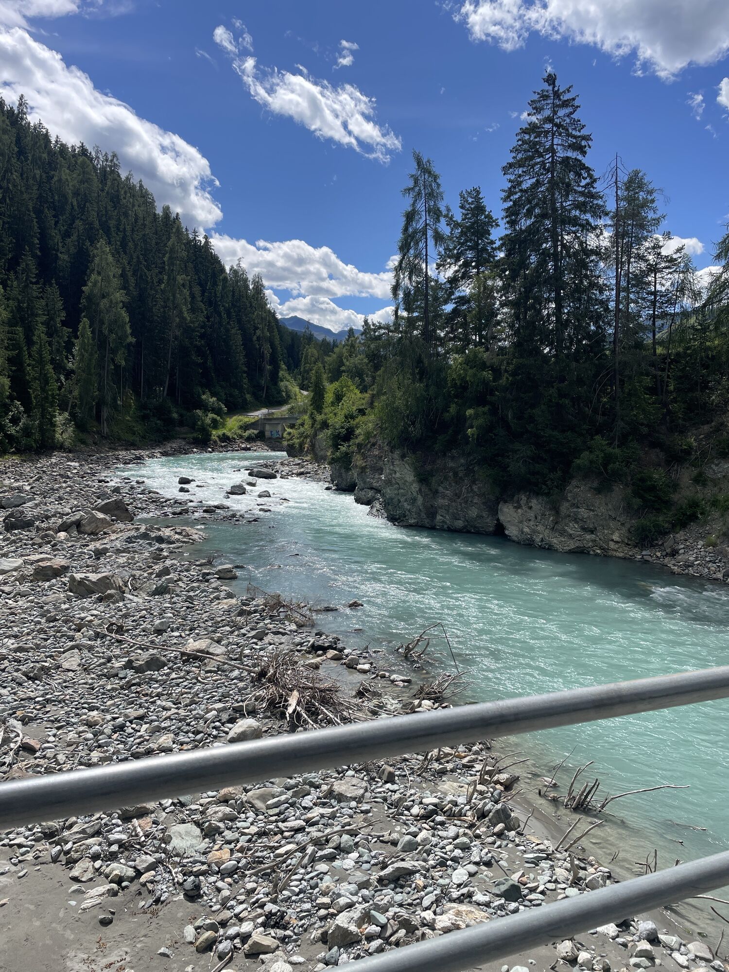
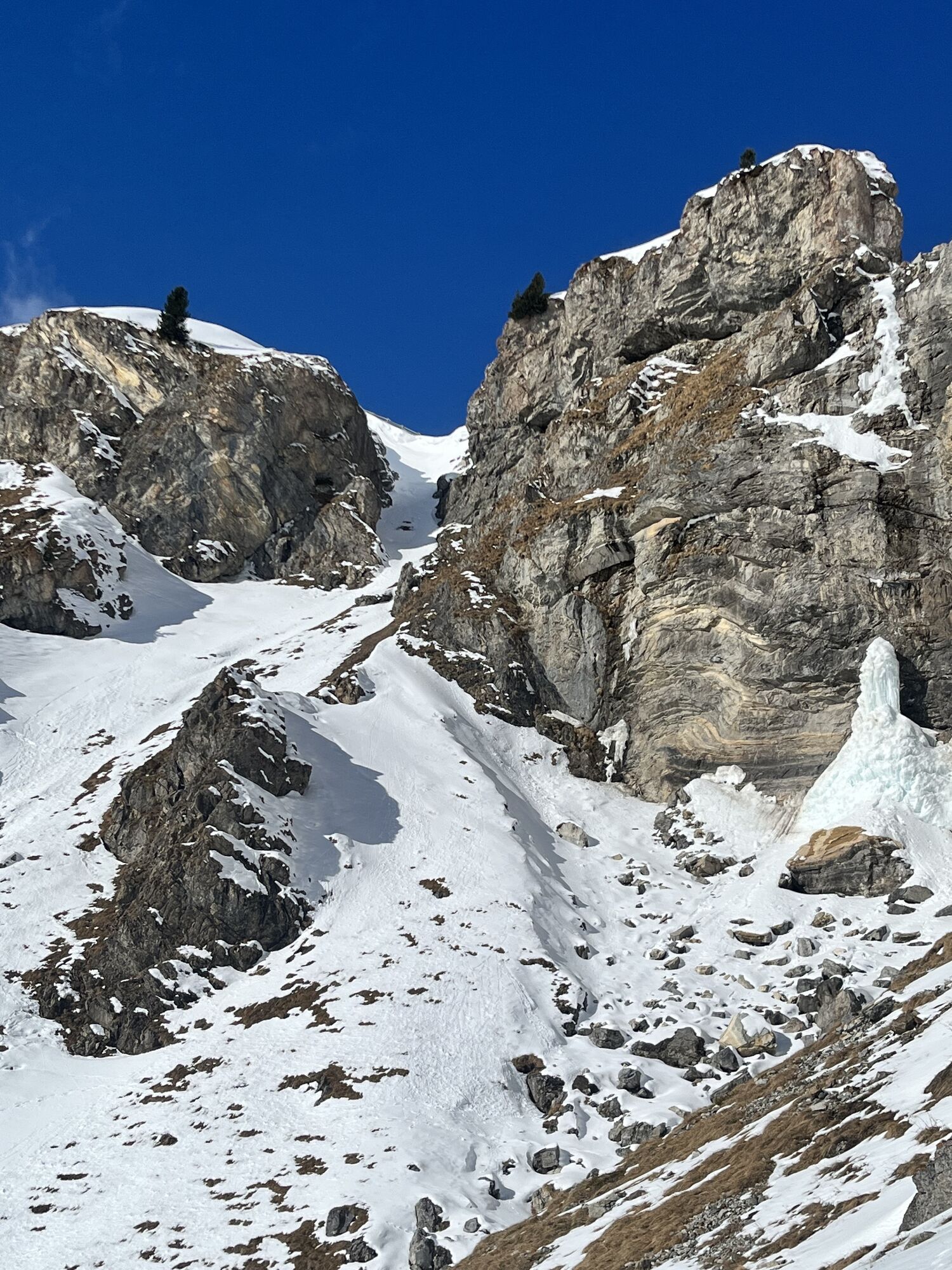
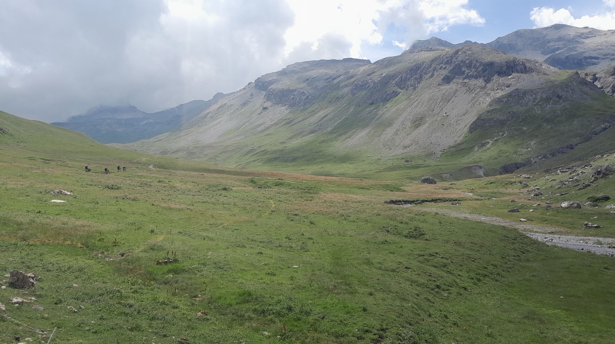
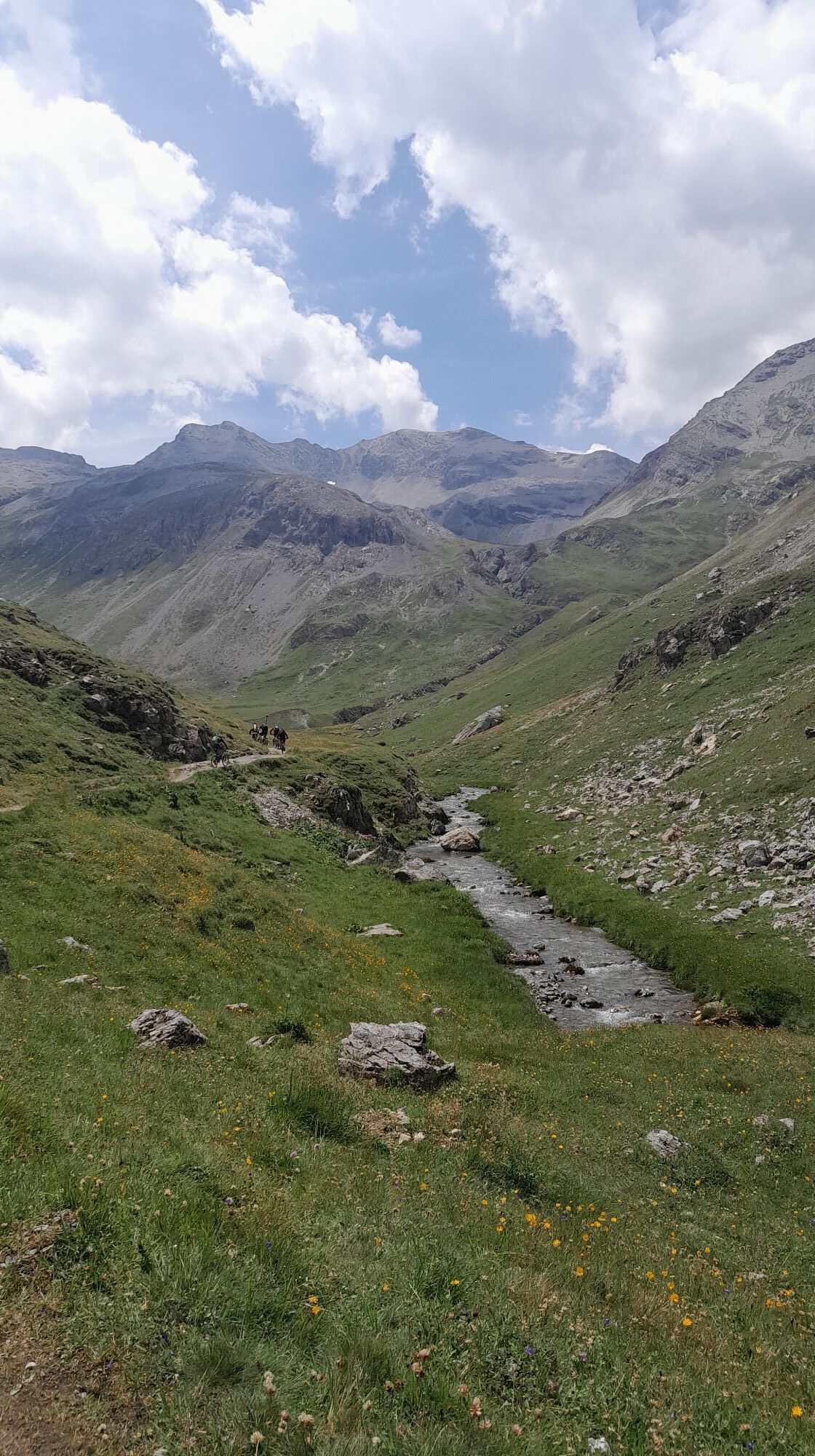
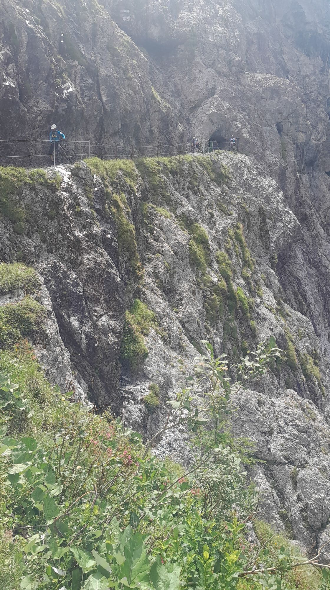
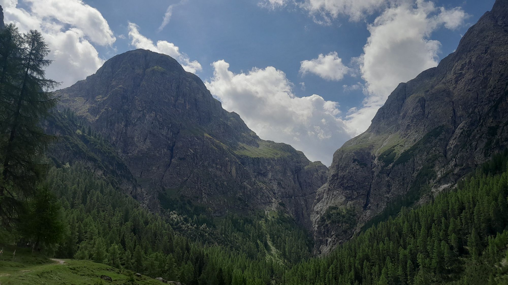


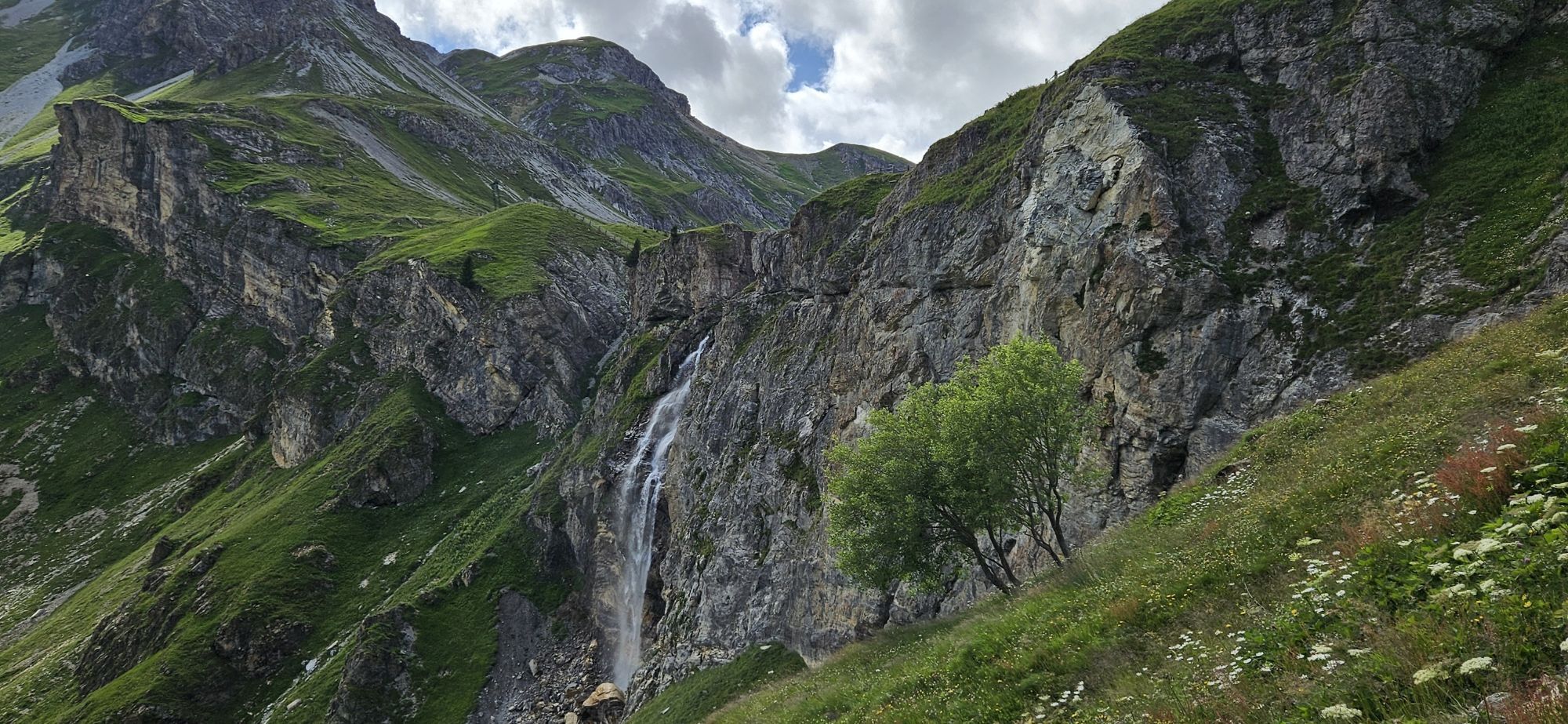


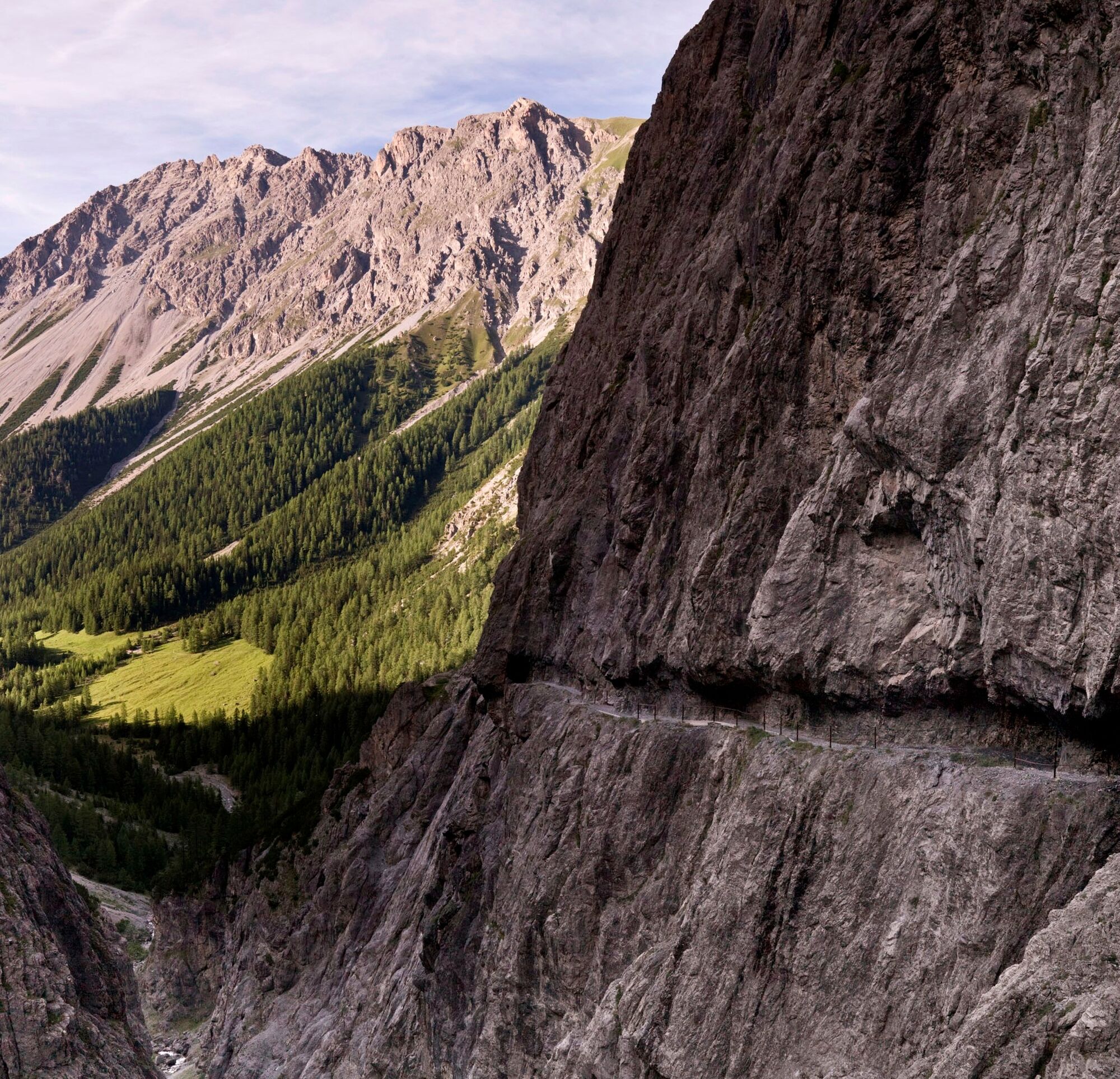
From Sur En, the route goes through the diverse Uina Gorge and to the spectacular rock path «Il Quar». Over the Sesvenna Pass on Italian soil, you reach the Val Schlinig and finally the Val Müstair with...
From Sur En, the route goes through the diverse Uina Gorge and to the spectacular rock path «Il Quar». Over the Sesvenna Pass on Italian soil, you reach the Val Schlinig and finally the Val Müstair with the stage location Sta. Maria.

Signposting: This route is marked in one direction only: Scuol–Sta. Maria
Carry identification documents, as the route crosses borders.
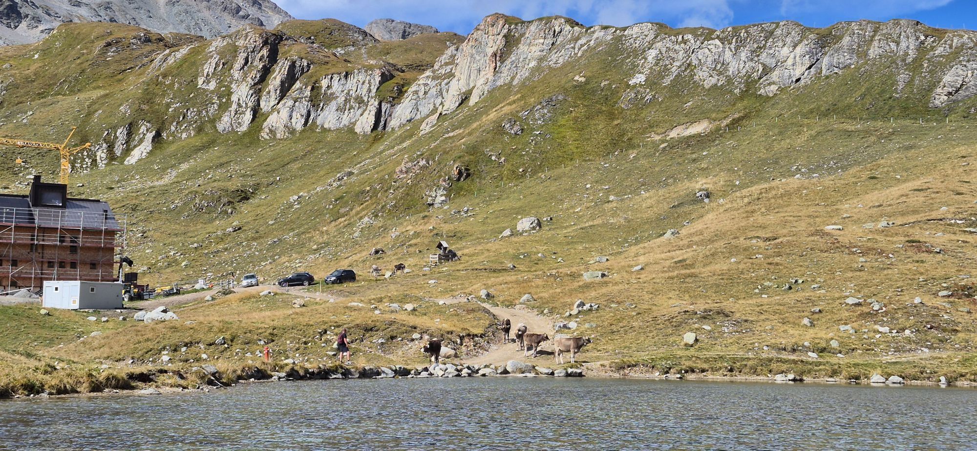
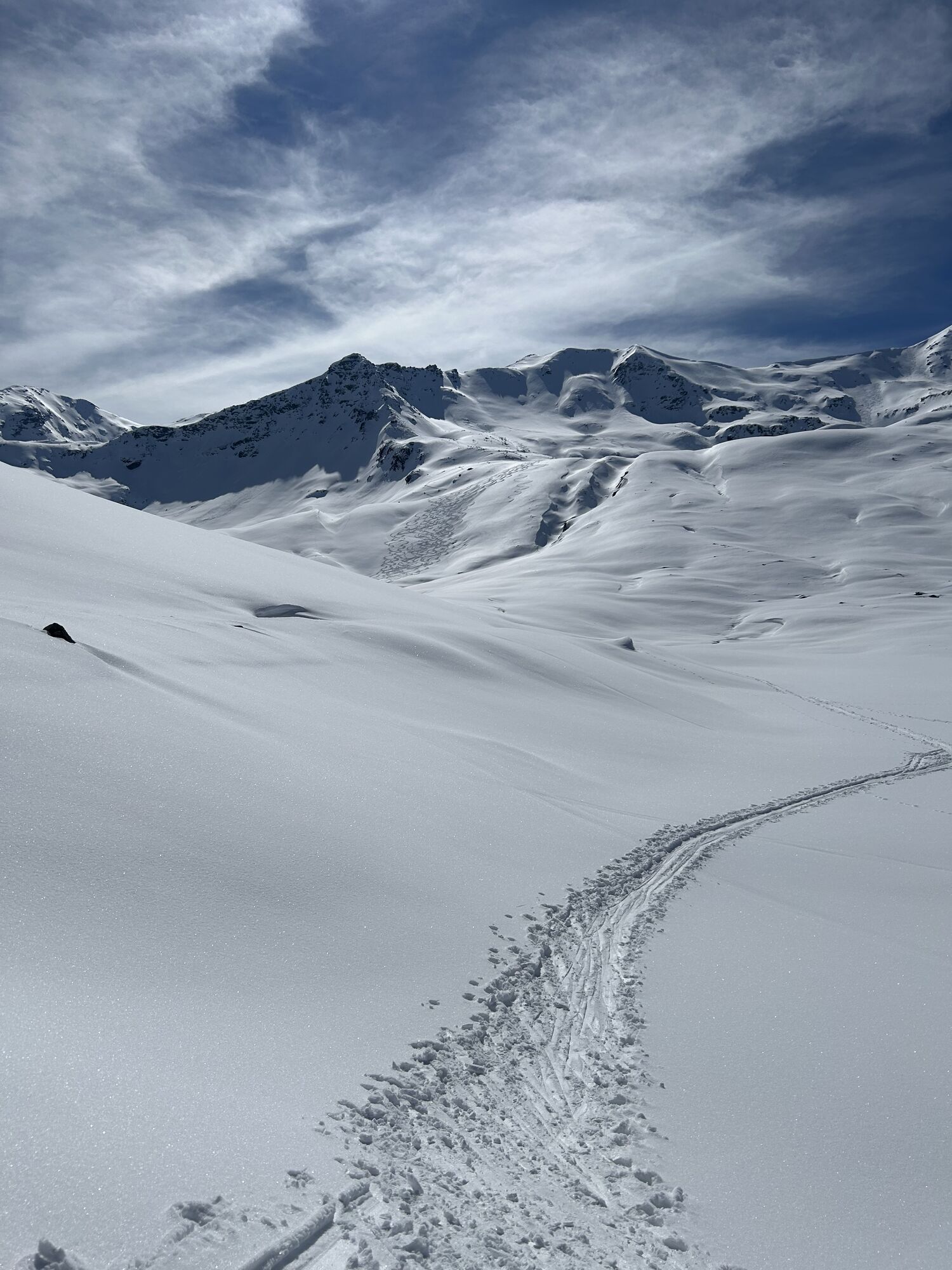
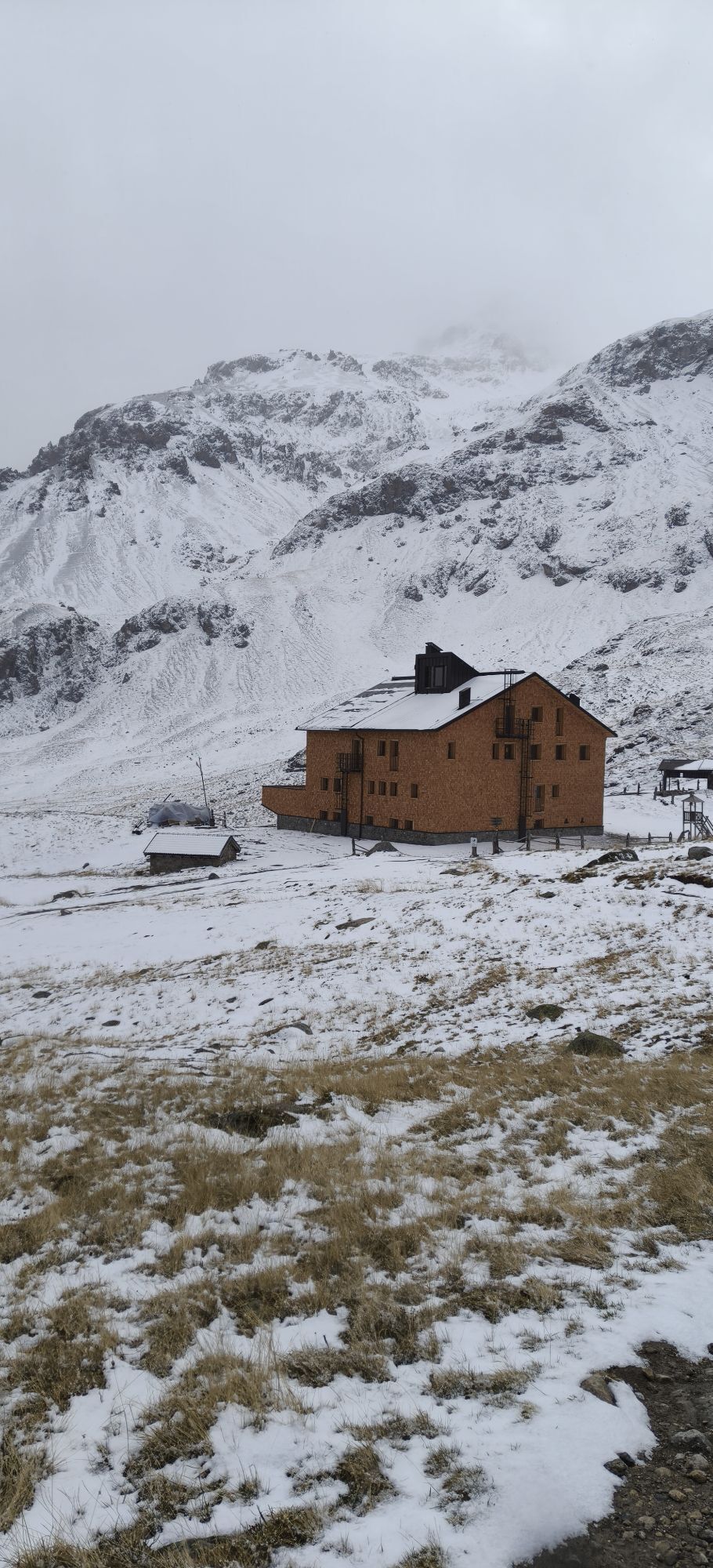
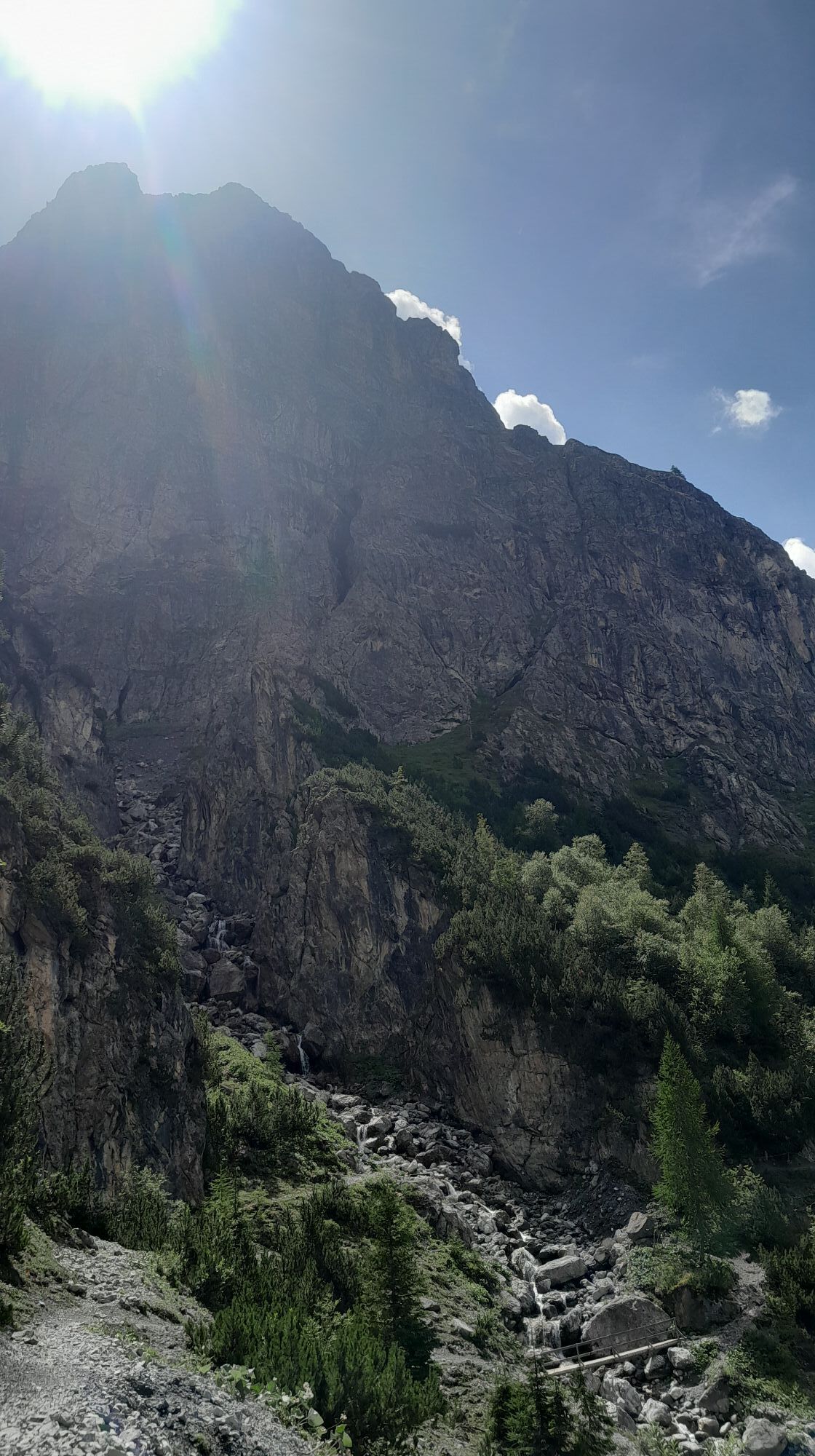
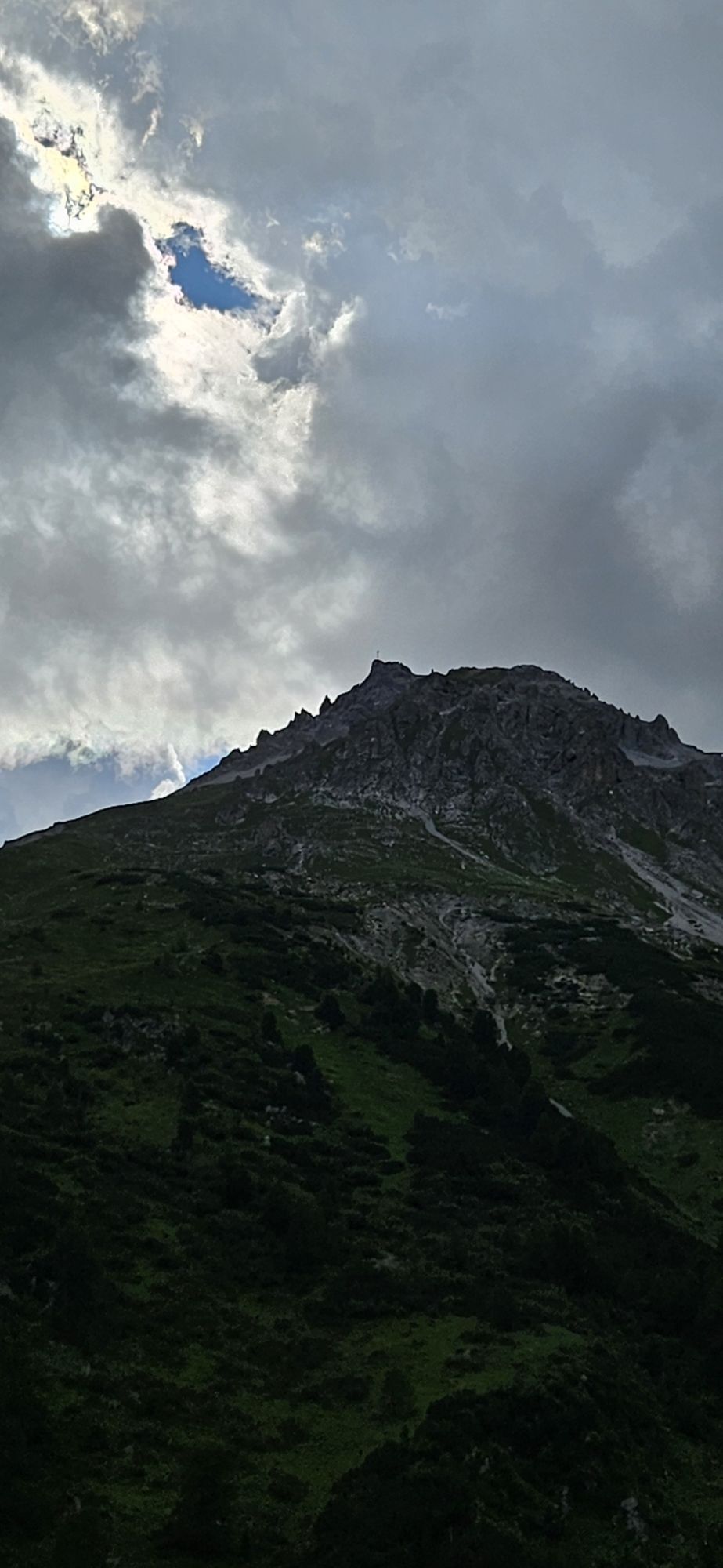
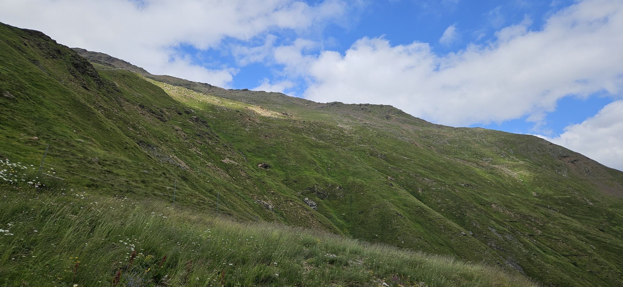
Attention: On high-altitude sections, snowfields may be present until the summer months.
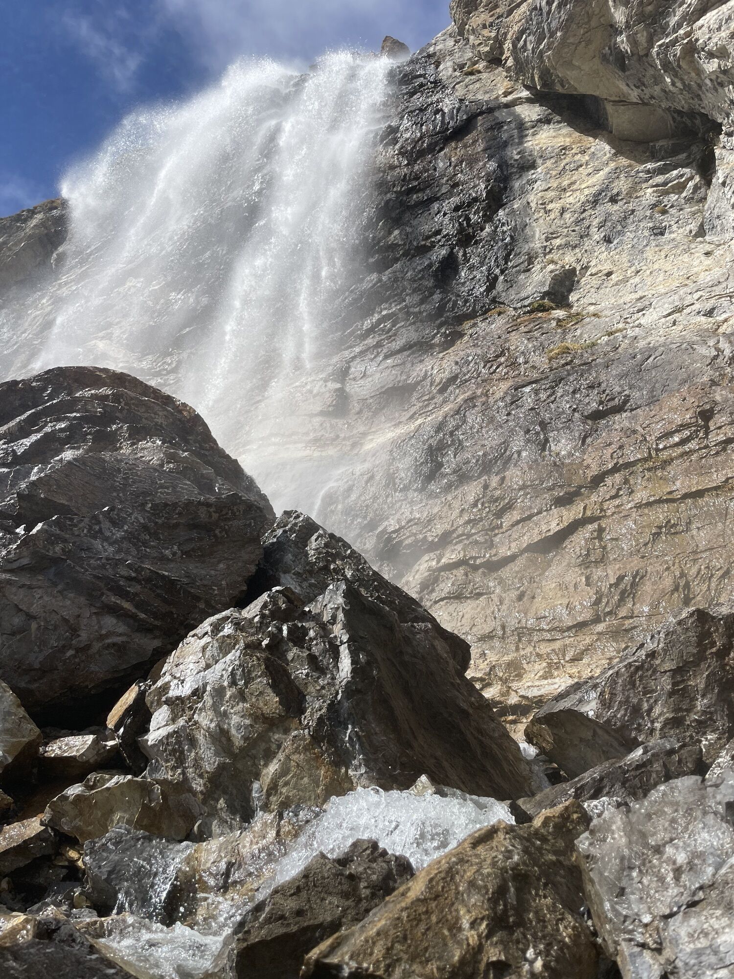
Push section: In the rock path in Val d'Uina, the bike must be pushed.
Carry identification as this is a cross-border route.
Webové kamery z prohlídky
-
Motta Naluns
-
Gasthaus Alpenrose - Minschuns
-
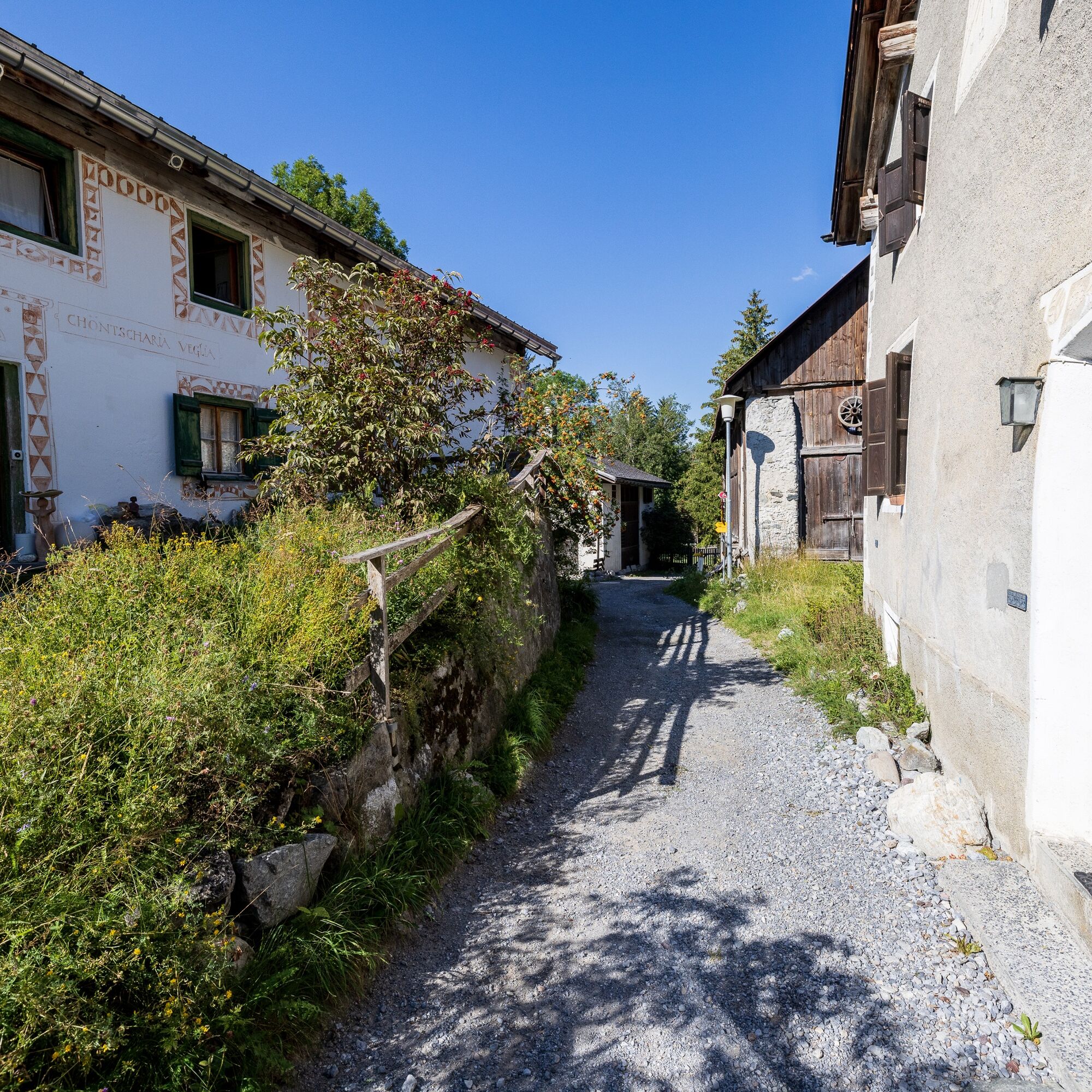
Scuol
-
Schloss Tarasp
-
Ftan Prui
-
Taufers im Münstertal
-
Fuldera - Hotel Landgasthof Staila
-
Fuldera
-
Mals - Sockerhof
-
Piz Chavalatsch
-
Motta Naluns
-
Motta Naluns
-
Motta Naluns
-
Motta Naluns
-
Motta Naluns
-
Motta Naluns
-
Ftan
-
Mals Vinschgau
-
Camping Mals
-
Müstair - Hotel Helvetia
-
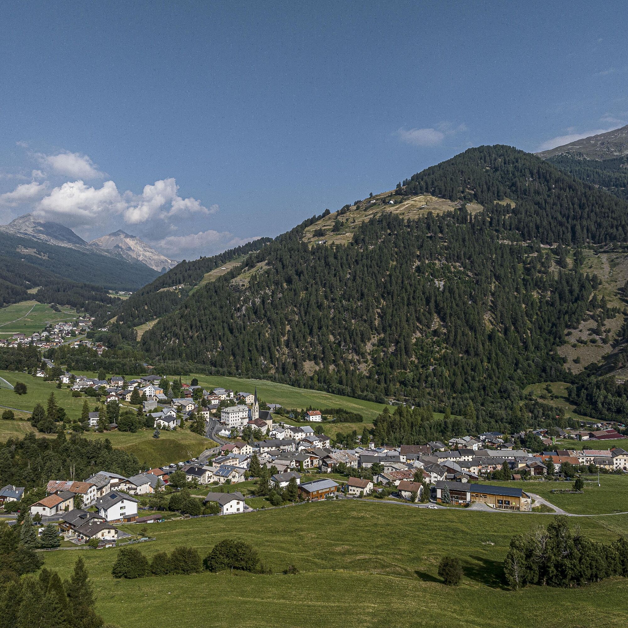
Sent
-
Ftan
-
Tarasp - Engadin
-
Sent
-
Taufers im Münstertal
-
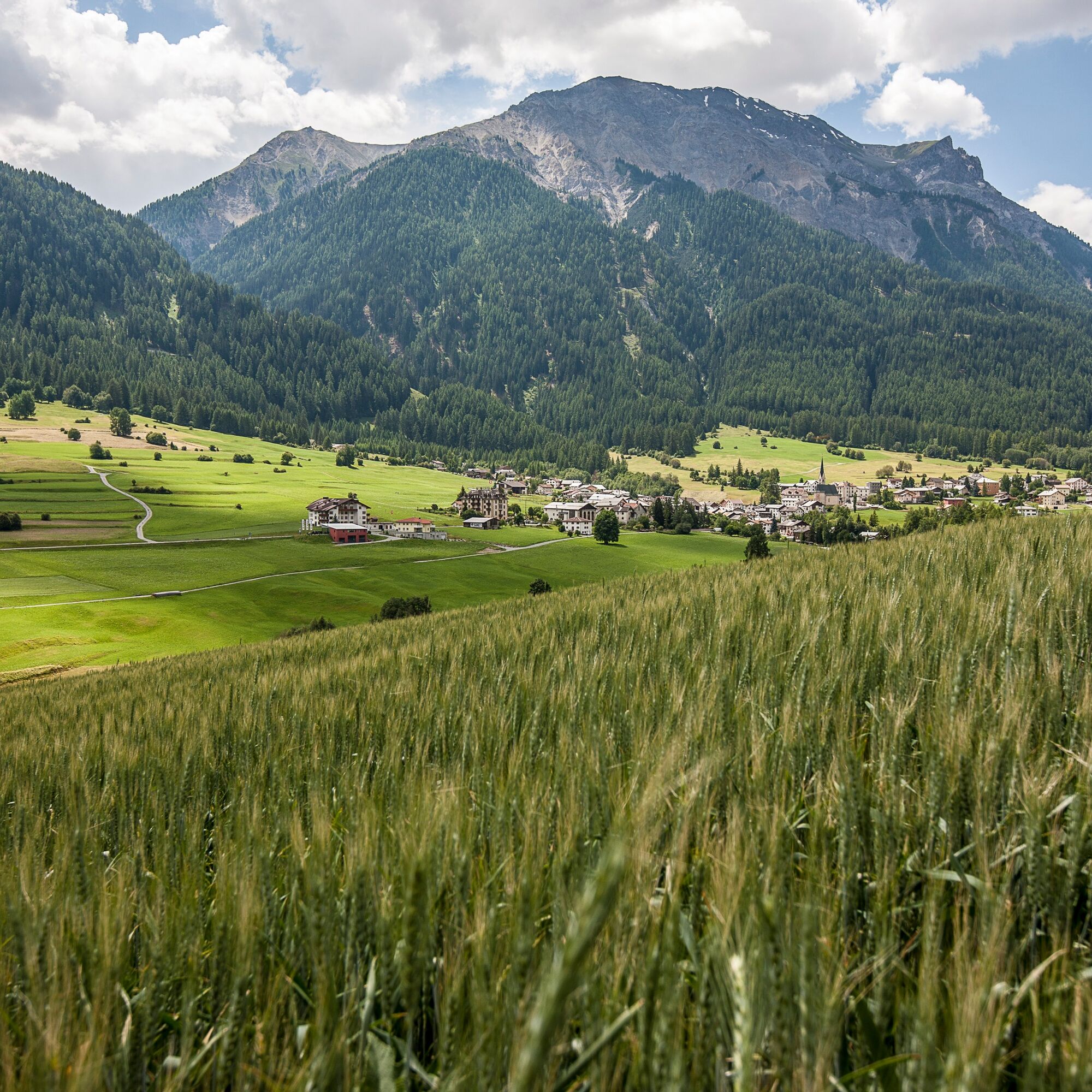
Müstair
Oblíbené prohlídky v okolí
-
4.1
Panoramaweg Schöneben Haider Alm
světloTuristika 5.78 km -
5.0
Mountain restaurant Plantaptasch (without Lift)
středníTuristika 3.42 km -
4.2
Reschensee
světloTuristika 15.6 km -
3.6
Easy hiking rout to the top of the Watles Moutain (2.550 m)
středníTuristika 2.35 km -
4.1
Haidersee - Graun - Trentino-Alto Adige/Südtirol/Italia
světloTuristika 4.99 km -
4.5
Rundwanderweg Wattles und Sesvenna
světloTuristika 16.4 km -
4.5
Leonhardskapelle - Deiländerblick - Mein Dörfl Bar-Bungalov - Kapelle zum Hl. Martin
světloJízda na kole 29.2 km -
5.0
Edelweißsteig- Leitenwool- Muntaschinig- Gongelegg - Schluderns
světloTuristika 14.0 km -
5.0
Spitzige Lun
středníTuristika 12.4 km -
4.5
Tarasp Fontana – Sparsels – Lai Nair (circular route)
světloTuristika 7.67 km
Pěší turistika a stopování


Nenechte si ujít nabídky a inspiraci pro vaši příští dovolenou
Vaše e-mailová adresa byl přidán do poštovního seznamu.