


Müstair – Alp Terza – Sta. Maria
Úroveň obtížnosti: S2
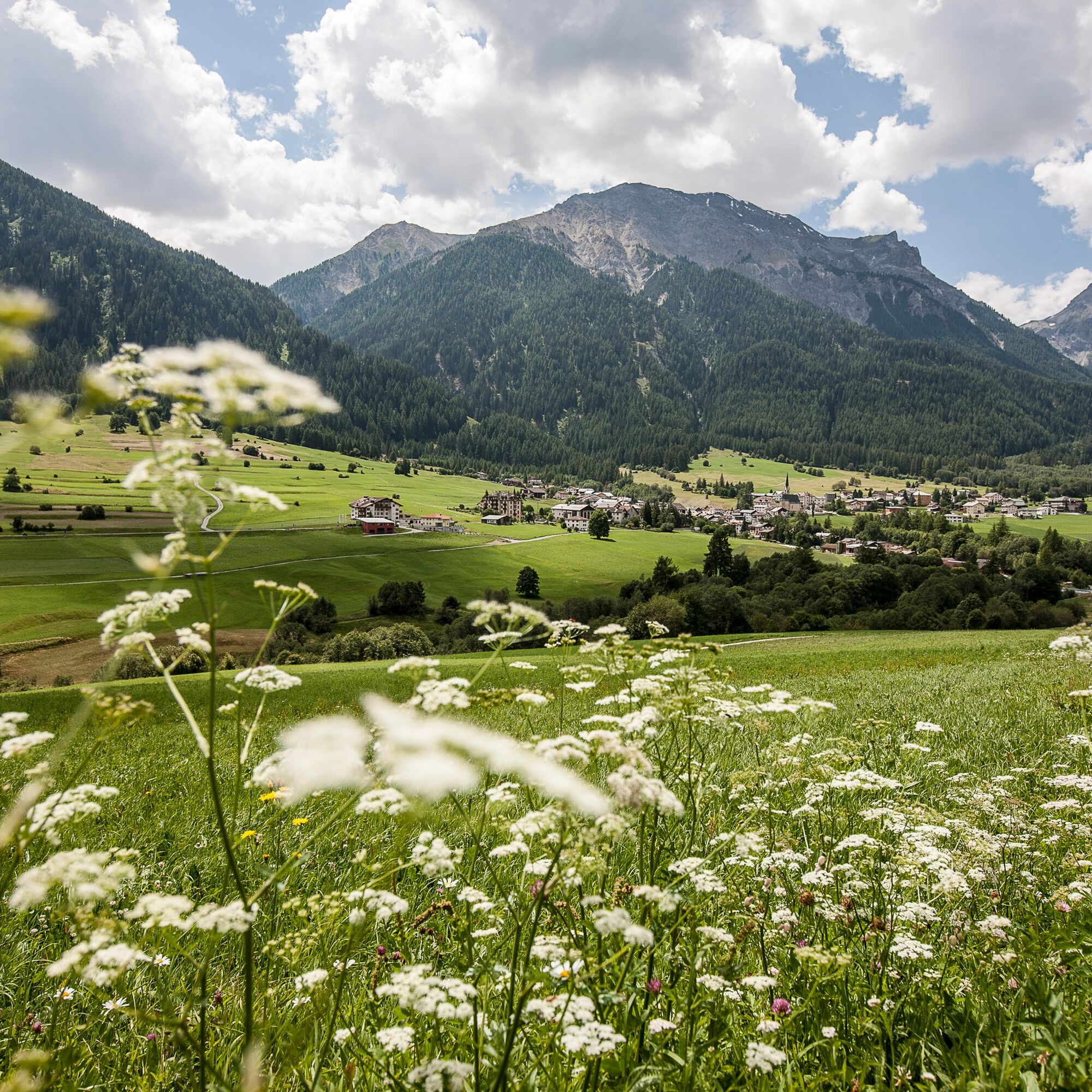
The ascent starts in Müstair, and you ride up a gravel path to Ruinatscha, where a wonderful view of Müstair can be enjoyed. Continuing towards Terza, after a total of five hairpin bends, the highest point...
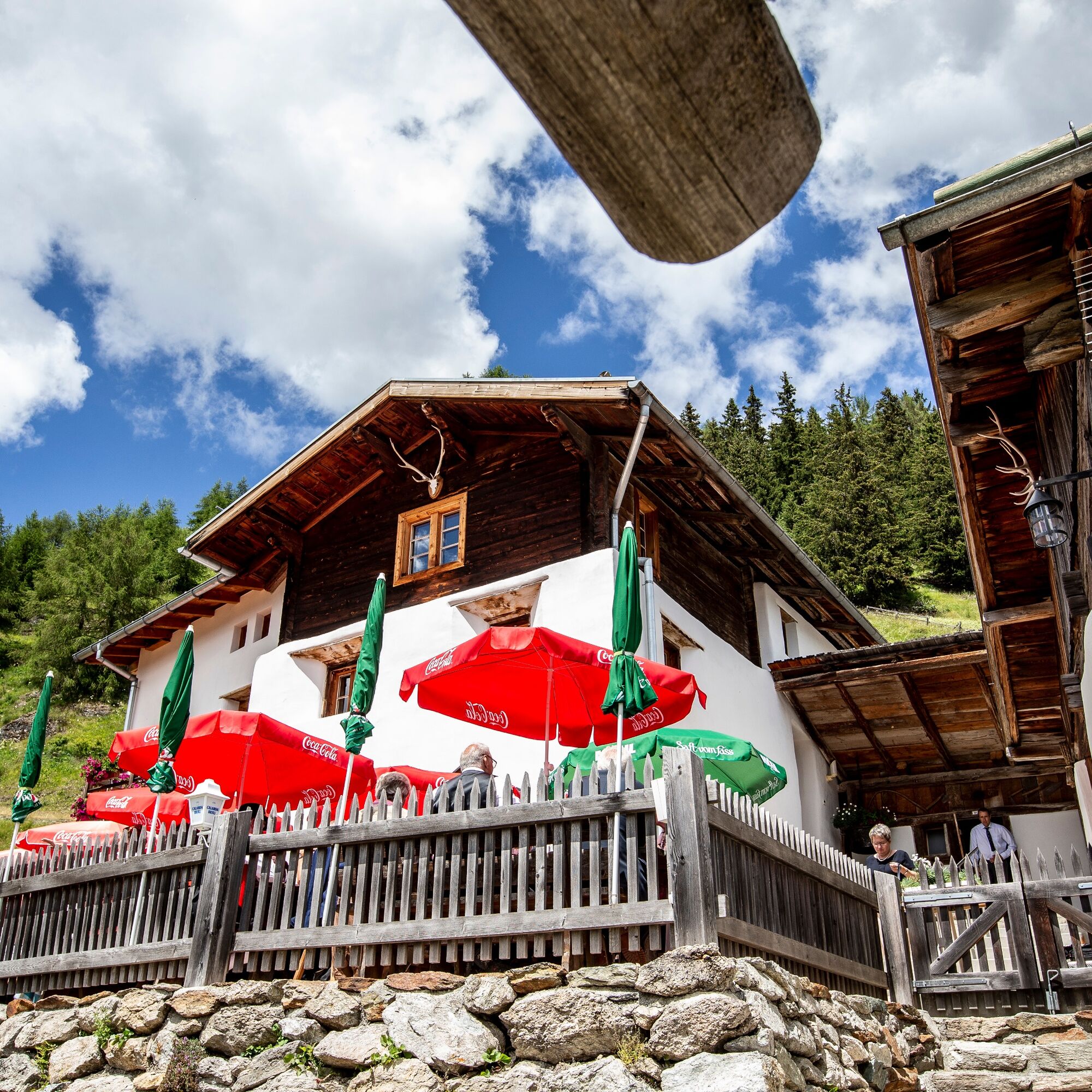
The ascent starts in Müstair, and you ride up a gravel path to Ruinatscha, where a wonderful view of Müstair can be enjoyed. Continuing towards Terza, after a total of five hairpin bends, the highest point is reached. After a short but steep descent on forest roads, you reach the Terza mountain restaurant. Enjoy coffee and cake with Monica recommended, before mostly descending on paved roads back to Sta. Maria.

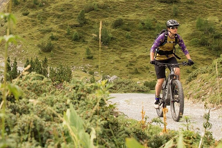
Müstair – Ruinatscha – Terza – Terza mountain restaurant – Sta. Maria
Helmet, gloves, good footwear, glasses, rain and sun protection, water bottle, repair kit, first aid kit
The route was assessed under favorable weather conditions; current weather conditions and forecasts must be observed before starting the route. This route requires a high level of riding safety, balance, and technical skill.
Emergency calls:
144 emergency call, first aid
1414 mountain rescue REGA
112 international emergency call
Please be considerate when crossing and overtaking hikers. The Graubünden mountain bike routes largely run on single trails that are also marked as hiking paths. Hikers always have the right of way.
From the north: via Landquart – Klosters by car shuttle through the Vereina Tunnel (Selfranga – Sagliains) or via the Flüela Pass and the Ofen Pass to Müstair.
From the east: via Landeck / Austria towards St. Moritz on H27 to Zernez and then over the Ofen Pass to Müstair.
From the south: via Reschen Pass (Nauders-Martina) through the Val Müstair over the Ofen Pass to Müstair.
By the Rhaetian Railway (from Chur, Landquart/Prättigau or from the Upper Engadine) hourly to Zernez station.
By PostAuto (from Zernez) hourly to Müstair
Free parking in front of Hotel Chavalatsch in Müstair.
S2
Oblíbené prohlídky v okolí
- 5,0
Mountain restaurant Plantaptasch (without Lift)
středníTuristika 3,42 km - 3,7
Payerhütte 3020m
Turistika 6,98 km - 3,6
Easy hiking rout to the top of the Watles Moutain (2.550 m)
středníTuristika 2,35 km - 4,3
Sonnenaufgang auf der Rötelspitze im Nationalpark Stilfserjoch
Turistika 2,02 km - 4,5
Rundwanderweg Wattles und Sesvenna
světloTuristika 16,4 km Wanderung/Aufstieg zur Payerhütte
světloTuristika 15,9 km- 3,4
Sta.Maria, Prà da Vau - Lai da Rims - Alp Sot - Prà da Vau
heavyTuristika 14,7 km - 1,0
Tabarettahütte 2555m zur Payerhütte 3020m
Turistika 3,82 km - 5,0
Edelweißsteig- Leitenwool- Muntaschinig- Gongelegg - Schluderns
světloTuristika 14,0 km - 4,0
Ortler – Normalweg
heavyVysokohorská turistika 7,30 km

Pěší turistika a stopování


Nenechte si ujít nabídky a inspiraci pro vaši příští dovolenou
Vaše e-mailová adresa byl přidán do poštovního seznamu.