


Bischol Pass
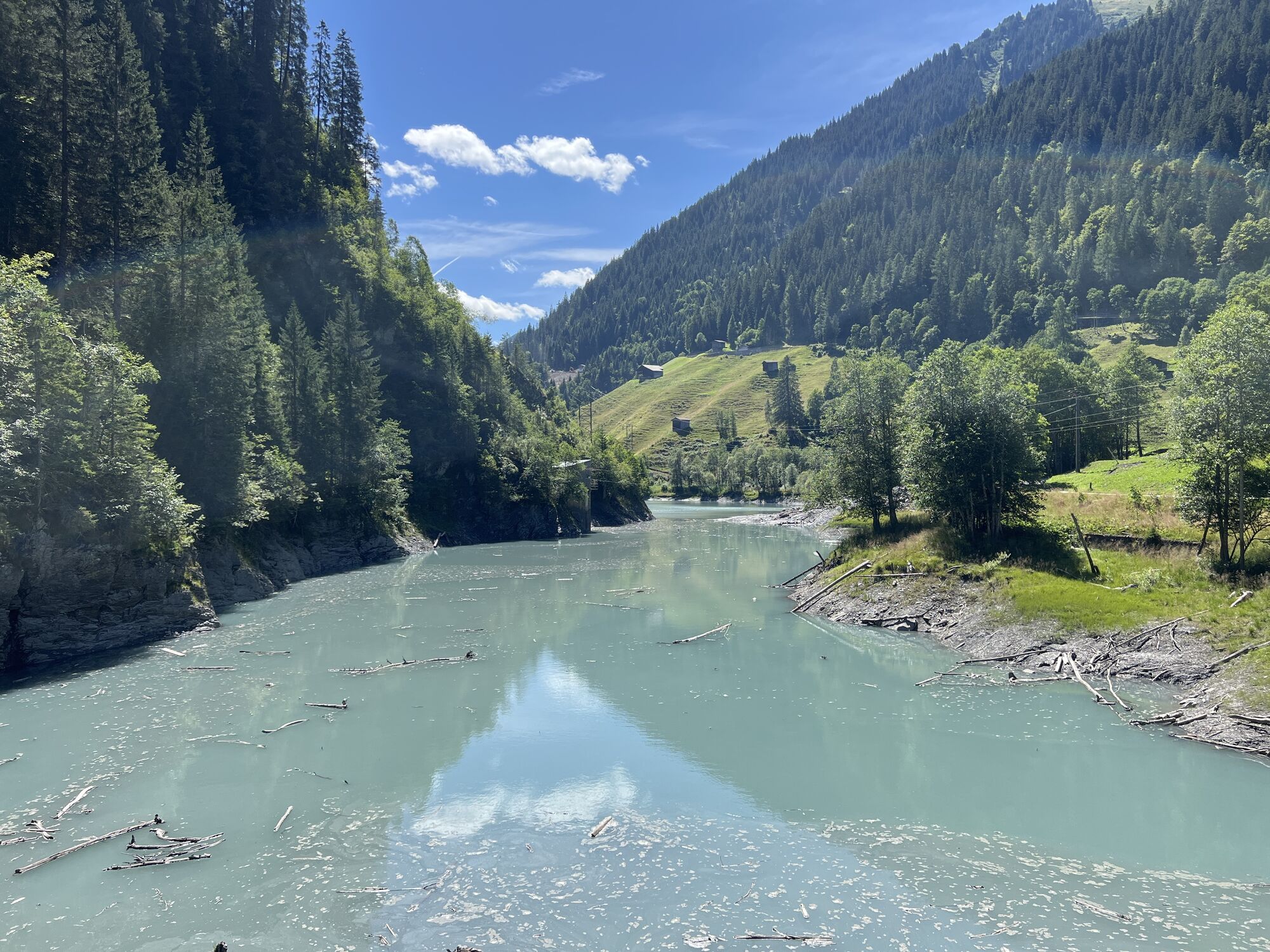
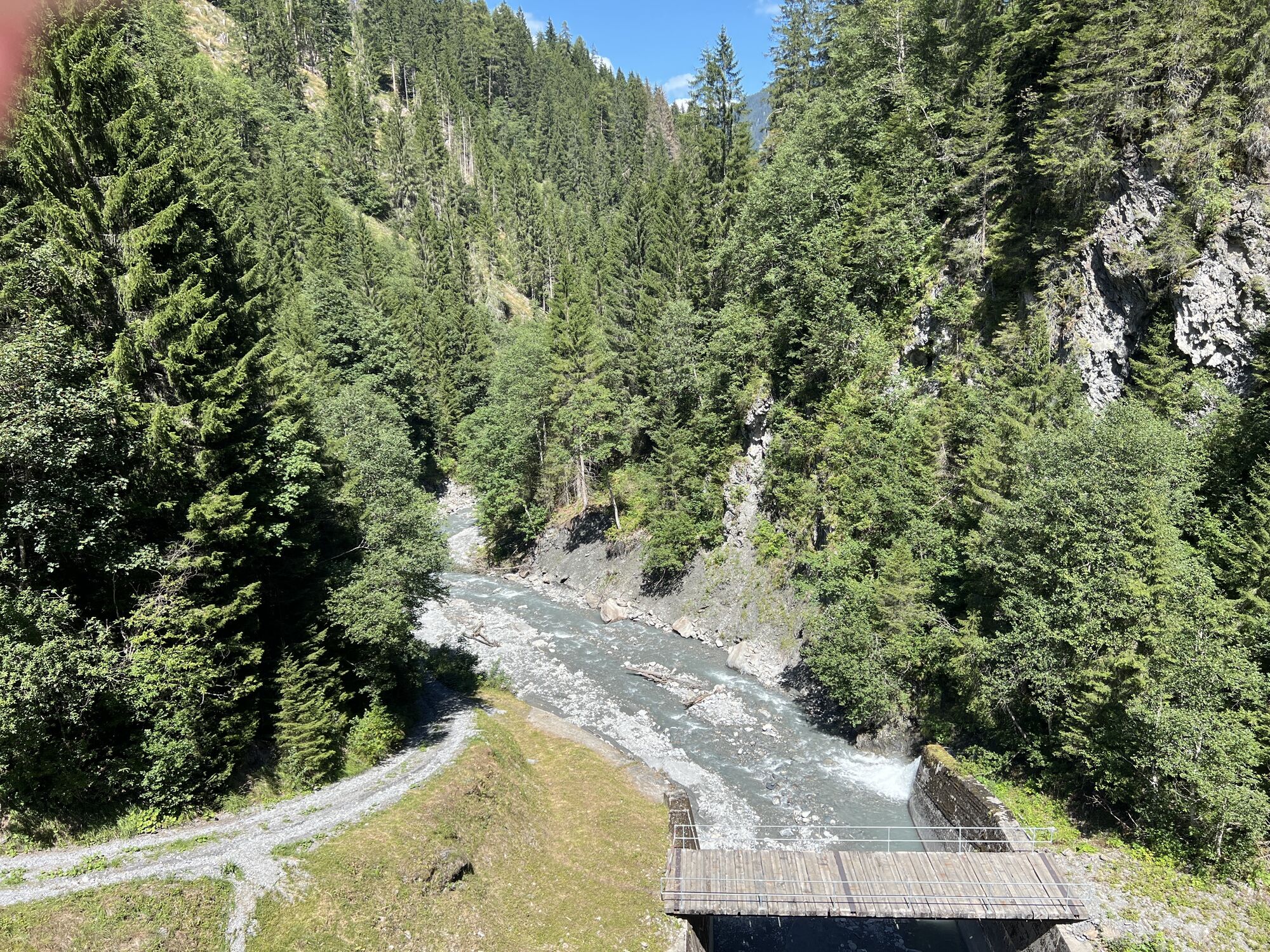

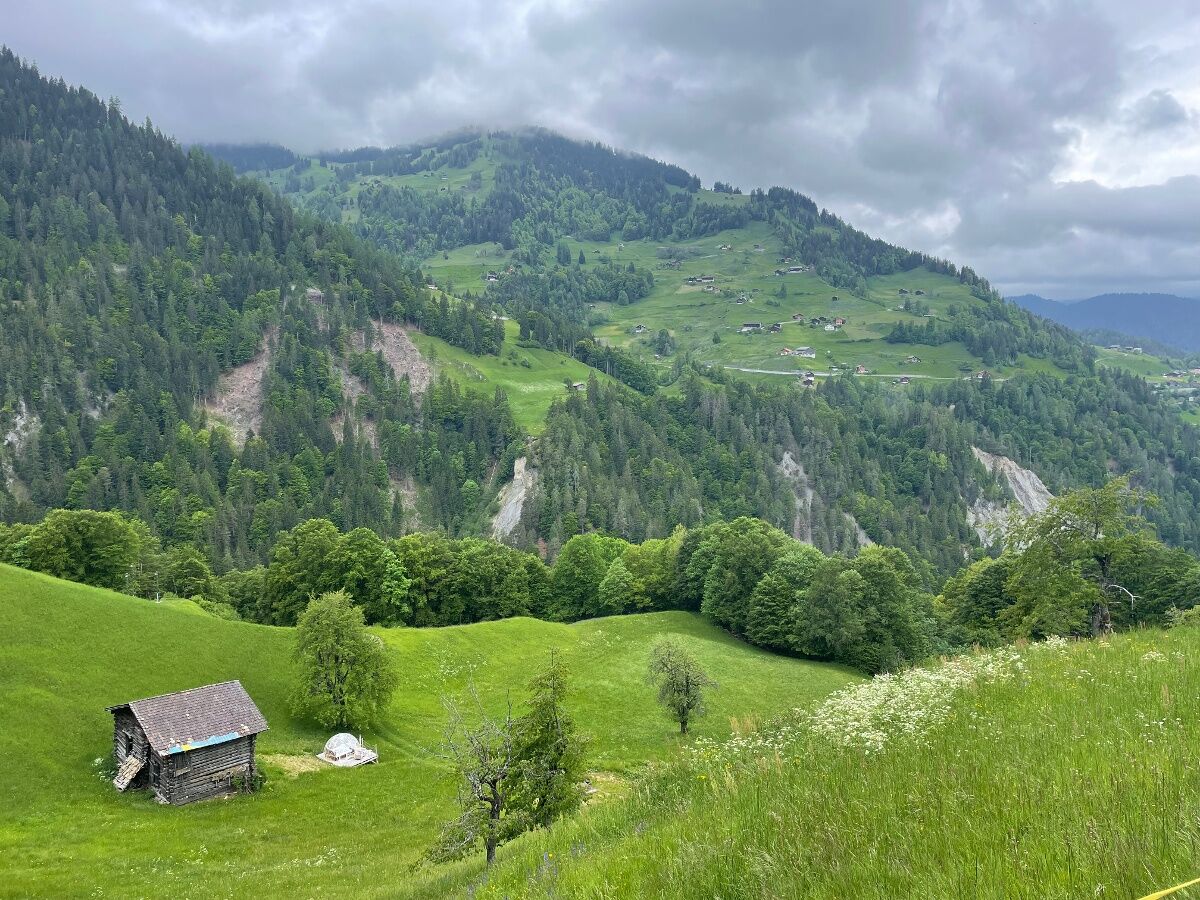
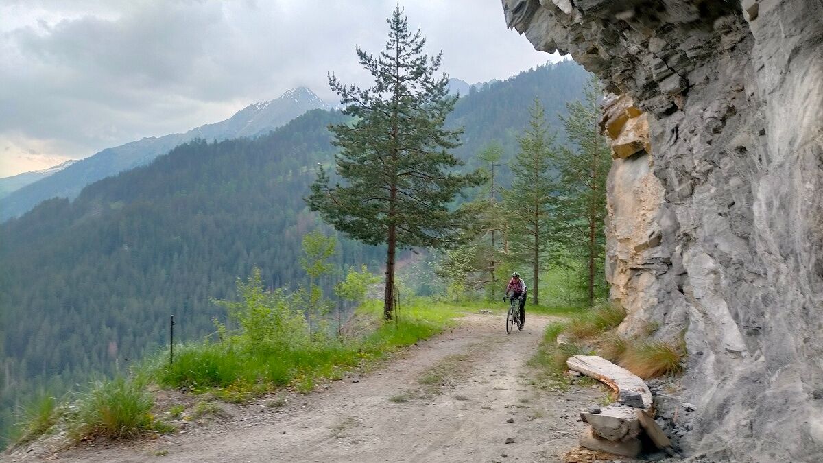
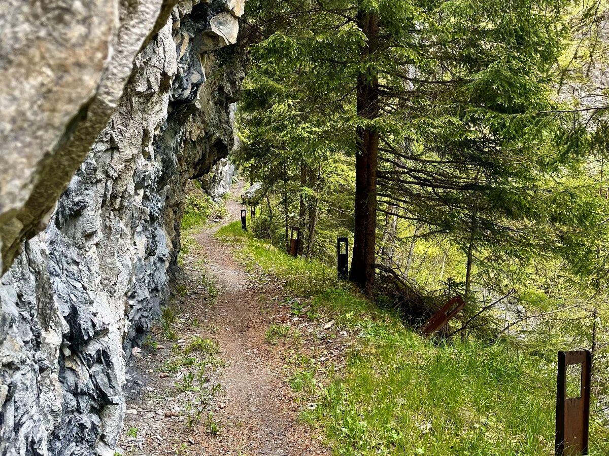
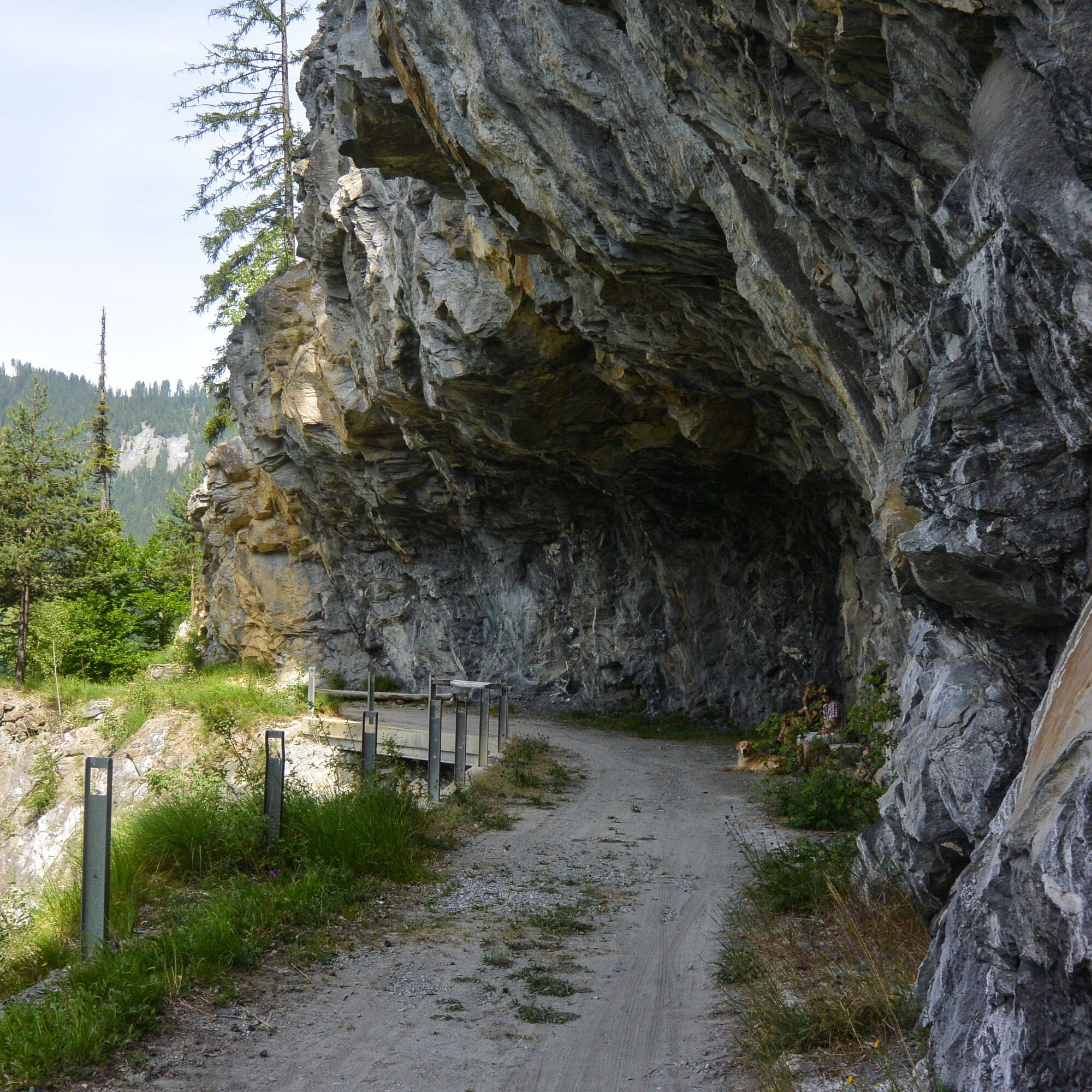
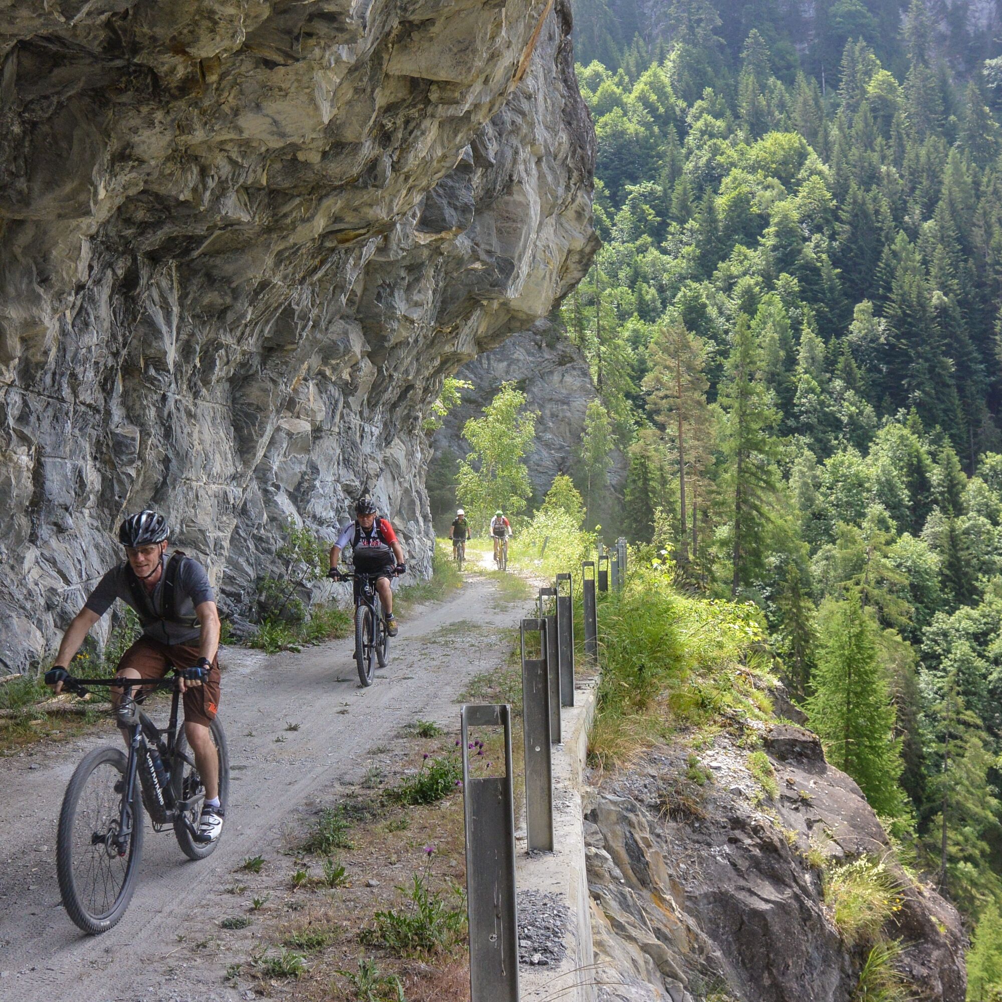
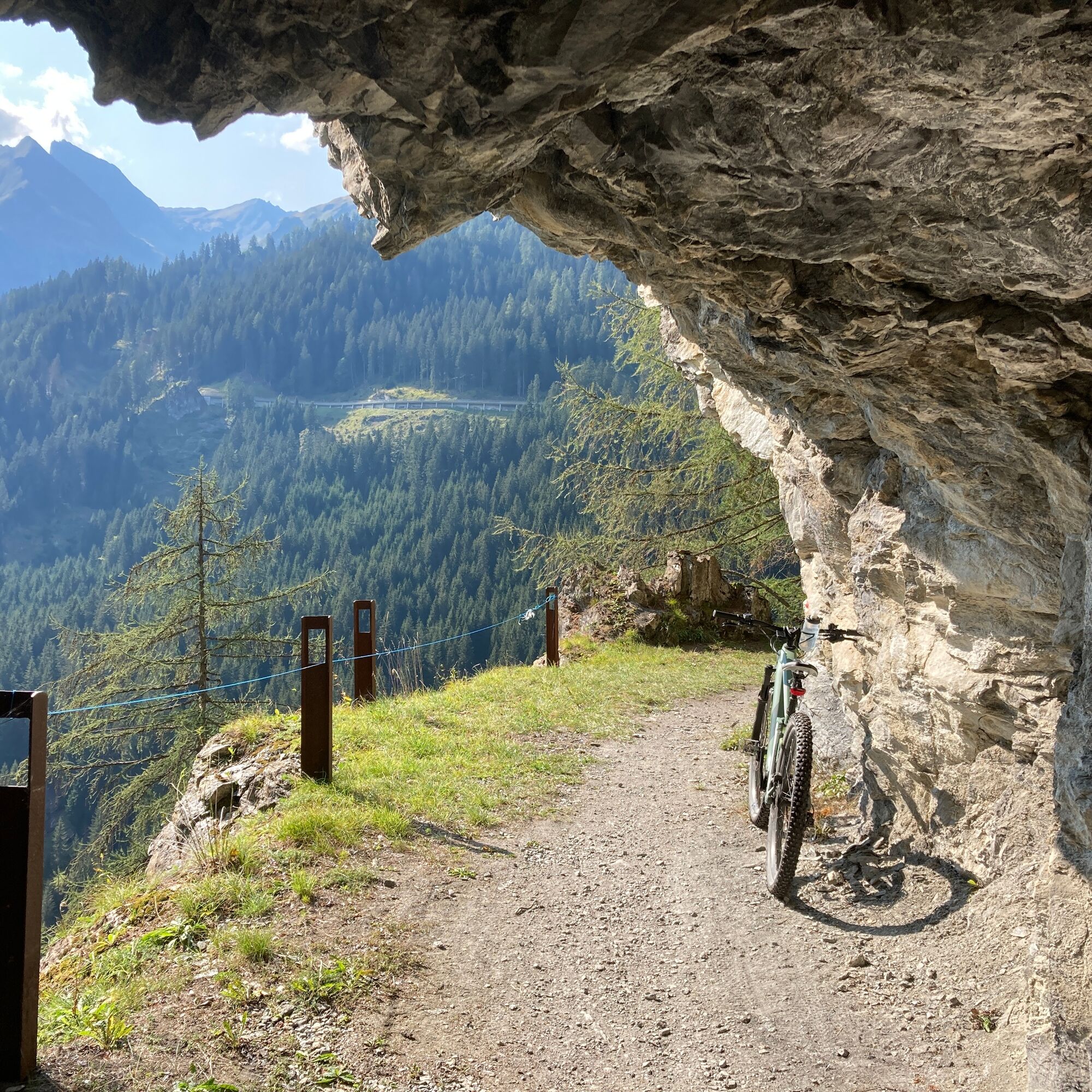
From the start in Safien, Carfil we send you straight down to the small, artificial Egschi lake and on to a varied and special tunnel route on the right side of the valley. Comparisons with the “Alter...
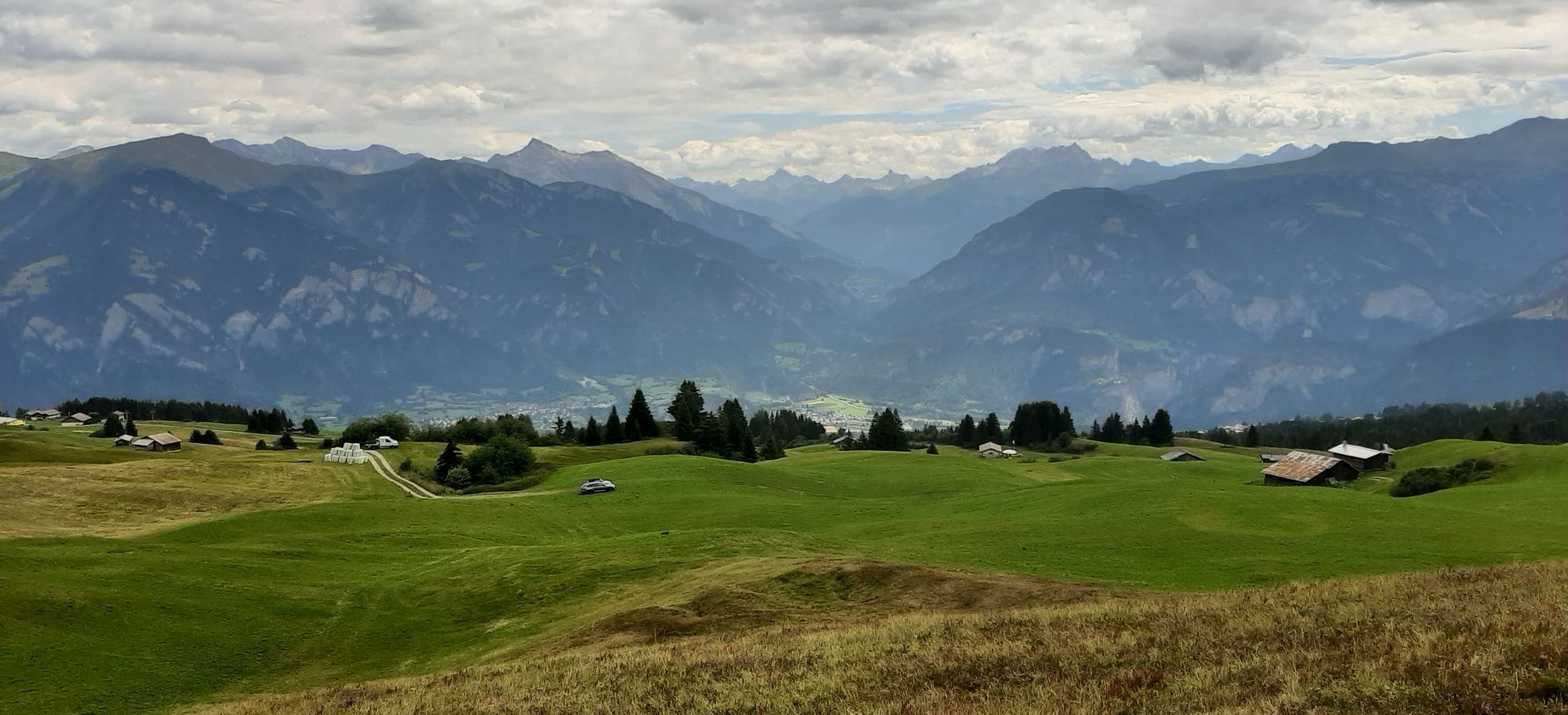
Now follow 800 meters in altitude on the road to Alp Sura. After around two-thirds of the way, you can treat yourself to a snack at Alp Il Bot during the summer season - this can certainly have a motivating effect.
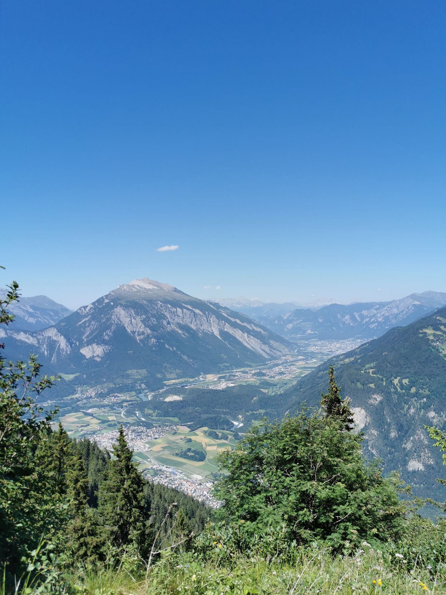
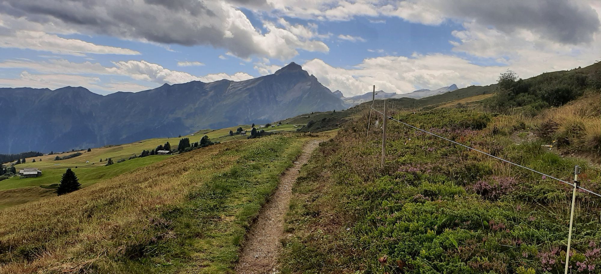
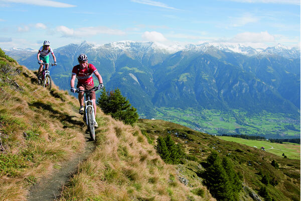
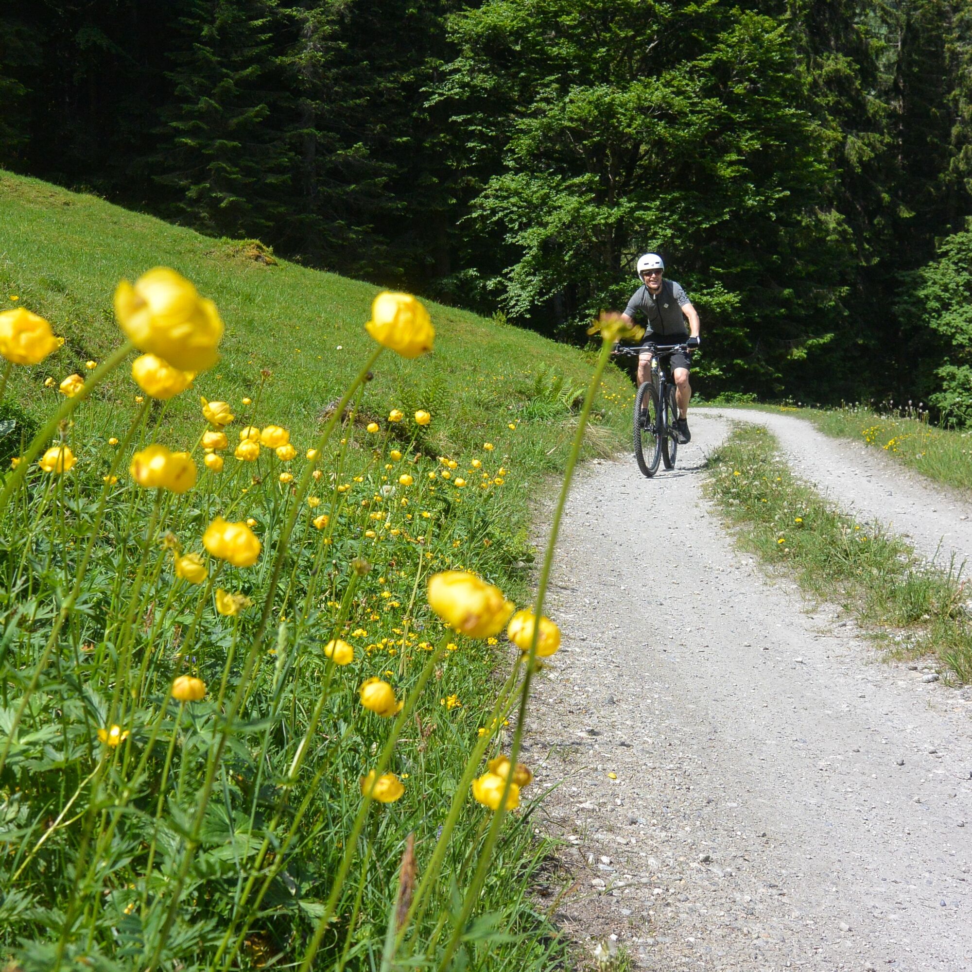
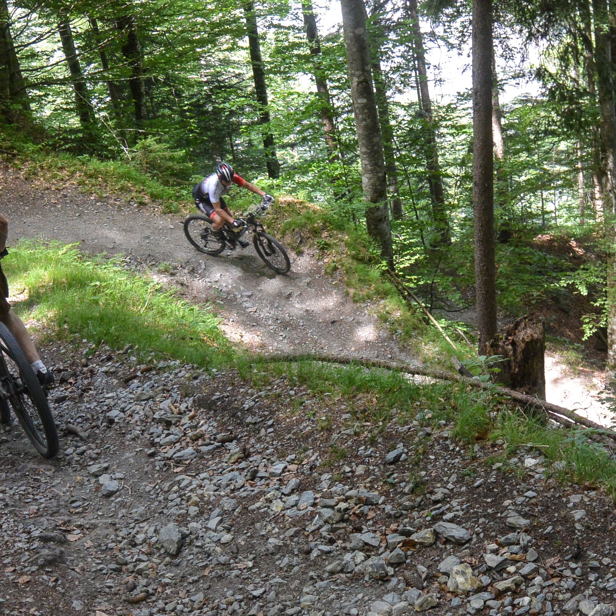
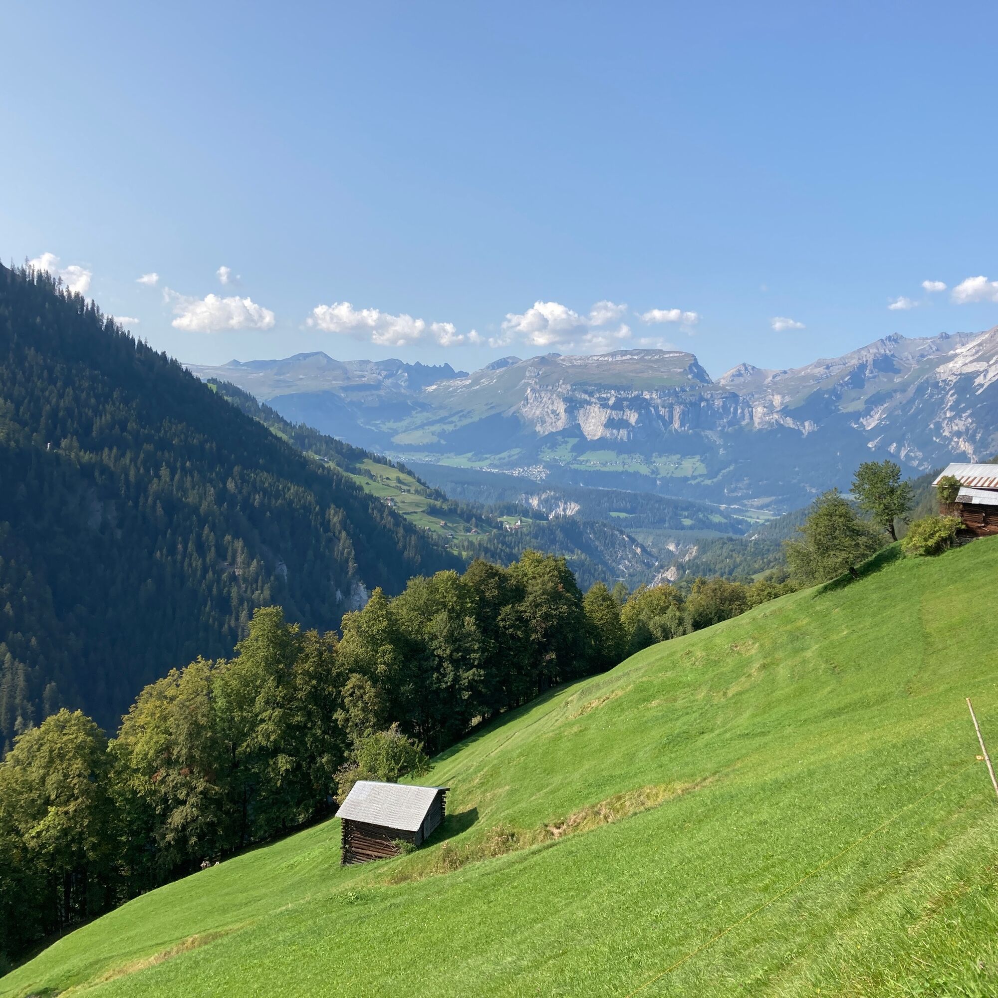
Alp Sura is the starting point for crossing the sunny slopes of the Heinzenberg. You can often enjoy it on alpine roads. But there are also longer, more challenging trails. Sometimes horizontal, sometimes with energy-sapping short climbs. The Parsiras mountain inn is located on the Maiensäss Parsiras and invites you to take a break for refreshments. Once you have reached Lake Pascuminer, it is not far to Lake Bischola and the steep singletrail descent back to Safiental. If you'd like to stop for refreshments, you can do so in the summer Alpbeizli Bischola. The trail is partly easy to ride, but also quite challenging in places. Once back at the bottom of the valley, the tour leads back to the starting point at Egschisee on the sometimes challenging trail of the Walserweg.
Carfil - Egschi - Sculms - Sigl Ault - Alp Bischol - Neukirch -Carfil
Mountain bike, helmet, gloves, bike shoes, goggles, rain and sun protection, drink, repair kit, first aid kit
144 Emergency call, first aid
1414 Mountain rescue REGA
112 International emergency call
From Versam into the Safiental valley to Carfil and Lake Egschi.
Take the train to Versam-Safien station and the Postbus to Safien, Carfil
Parking is available at the bottom of the Egschisee. Please park with consideration.
7104 Versam
Tel: 0041 81 630 60 16
Email: info@safiental.ch
Internet: www.safiental.ch
Refreshment tips: Mountain inn Parsiras, Alpbeizli Bischola
If you are traveling from Chur, you can also join the route above Bonaduz at Sigl Ault.
Oblíbené prohlídky v okolí
- 4.5
4-lake hike: Caumasee - Crestasee - Felsbach Gorge
středníTuristika 12.8 km - 4.8
Rheinschlucht: From Ilanz to Versam into the heart of the Rheinschlucht
středníTuristika 11.4 km - 4.8
Rhine Gorge Hike: Senda Ruinaulta (659)
světloTuristika 9.39 km - 4.7
The Water Trail: Trutg dil Flem 764
heavyTematická stezka 8.56 km - 5.0
Caumasee tour: Flims - Caumasee - Conn - Flims
světloTuristika 7.94 km - 4.7
Mountain hike to the Strudeltöpfe on Alp Mora: Bargis-Trin
heavyTuristika 18 km - 4.3
Circular hike: Falera-Curnius-Alp Dadens-Falera
středníTuristika 11.4 km - 5.0
Circular route: Lake Cauma - Rhine Gorge "Swiss Grand Canyon"
středníTuristika 19.8 km - 5.0
Hiking route Suspension Bridge Val da Tersnaus
středníTuristika 3.24 km Piz Fess 2880m, the proud one
heavyTuristika 12.8 km

Pěší turistika a stopování


Nenechte si ujít nabídky a inspiraci pro vaši příští dovolenou
Vaše e-mailová adresa byl přidán do poštovního seznamu.