







Swiss Epic Route

Úroveň obtížnosti: S3
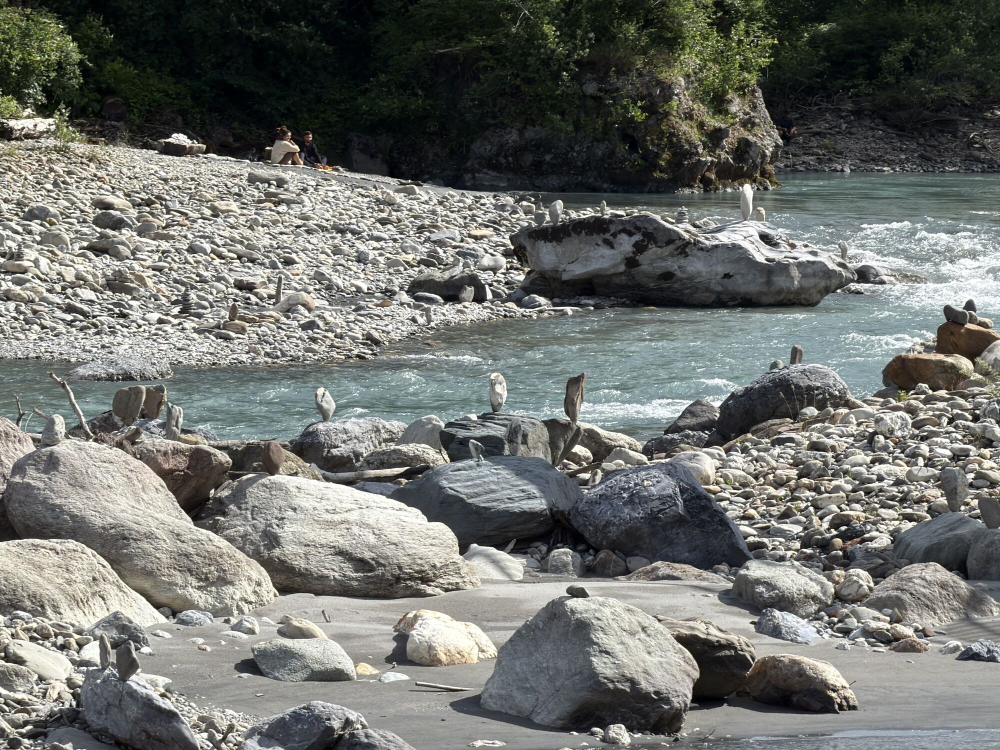
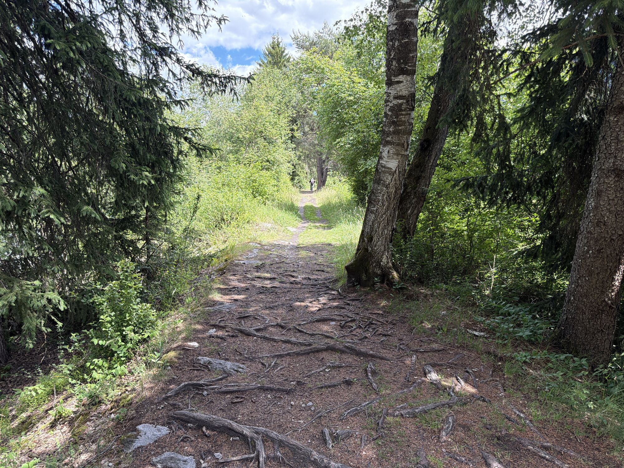
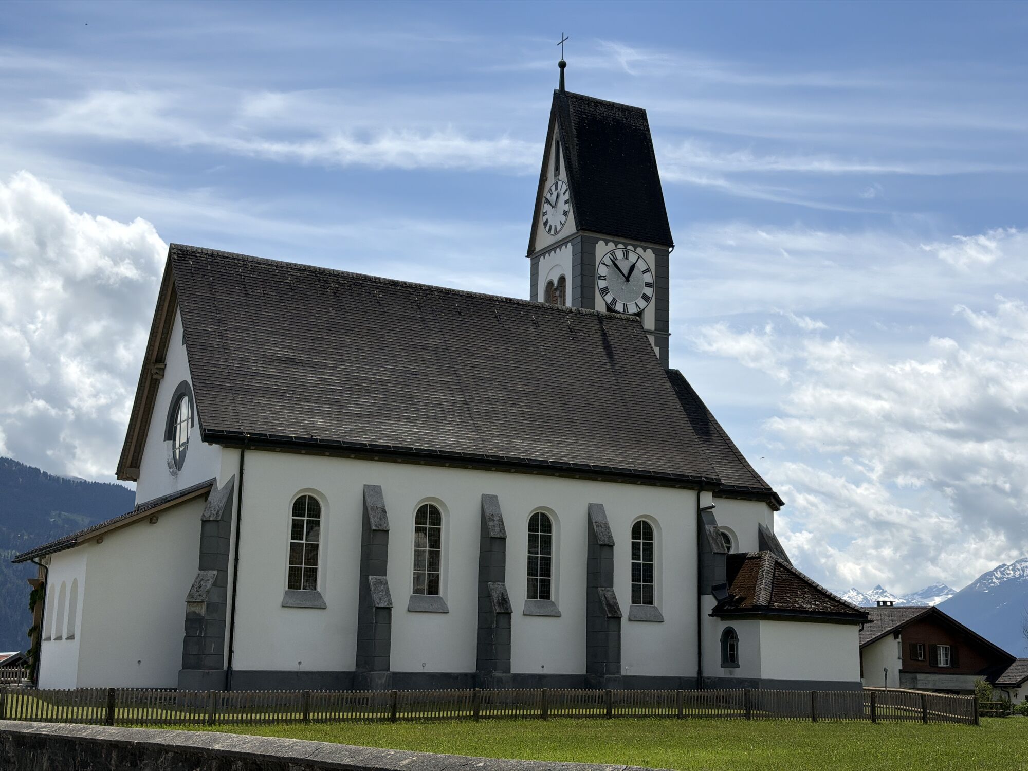
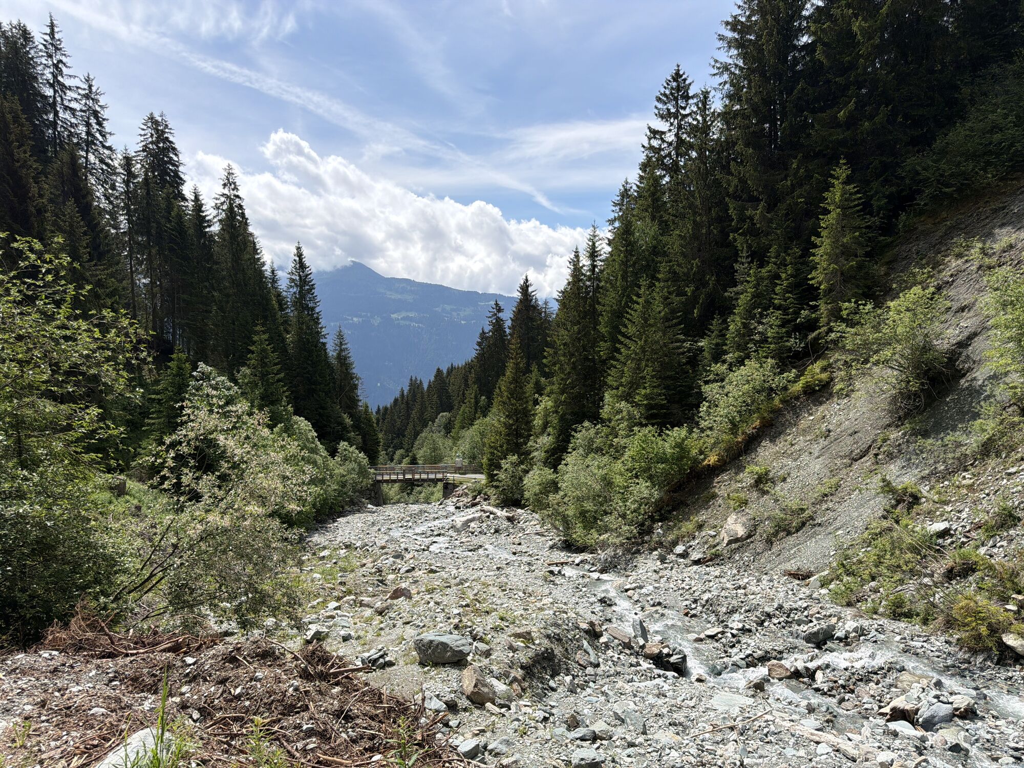
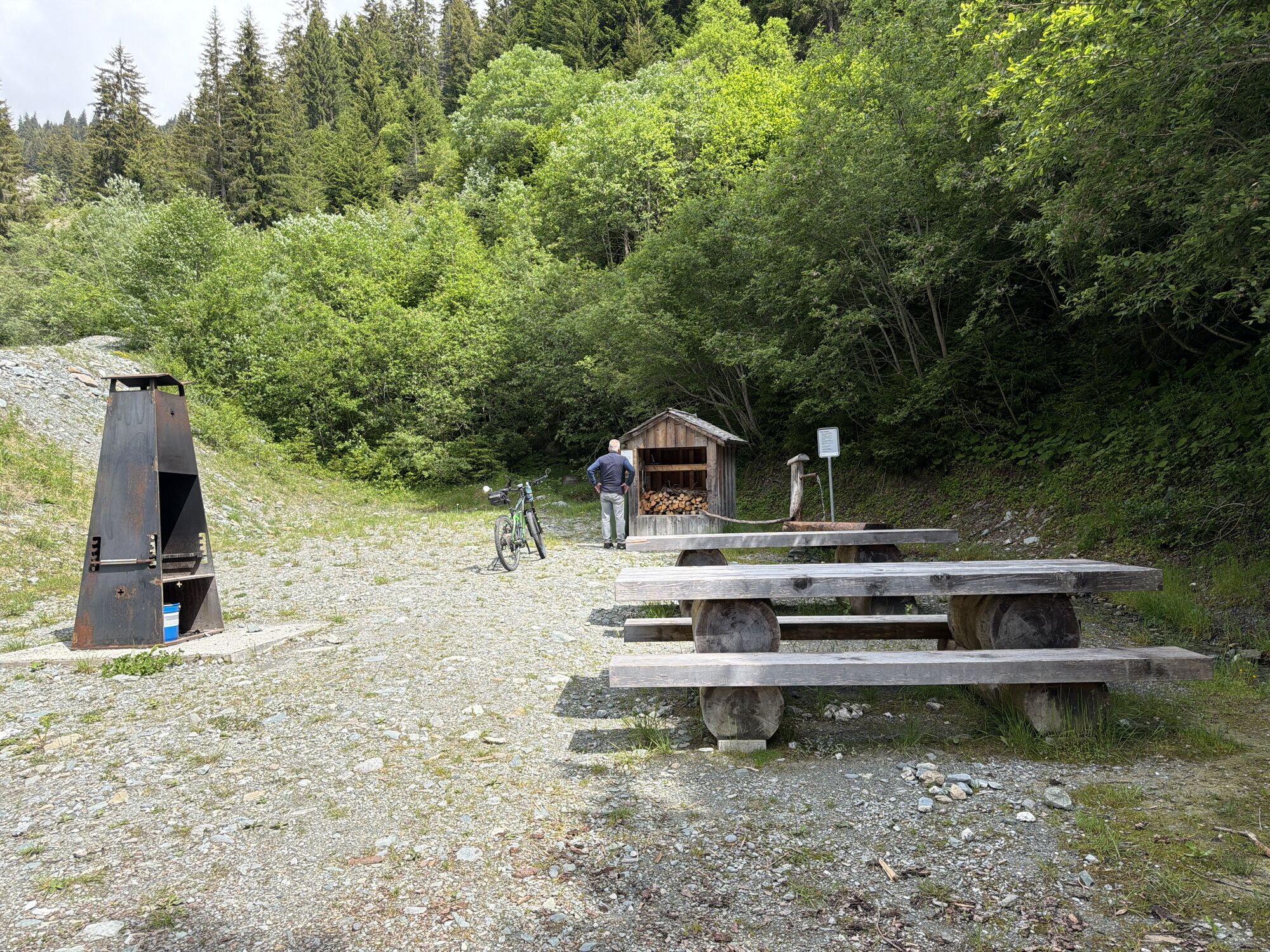
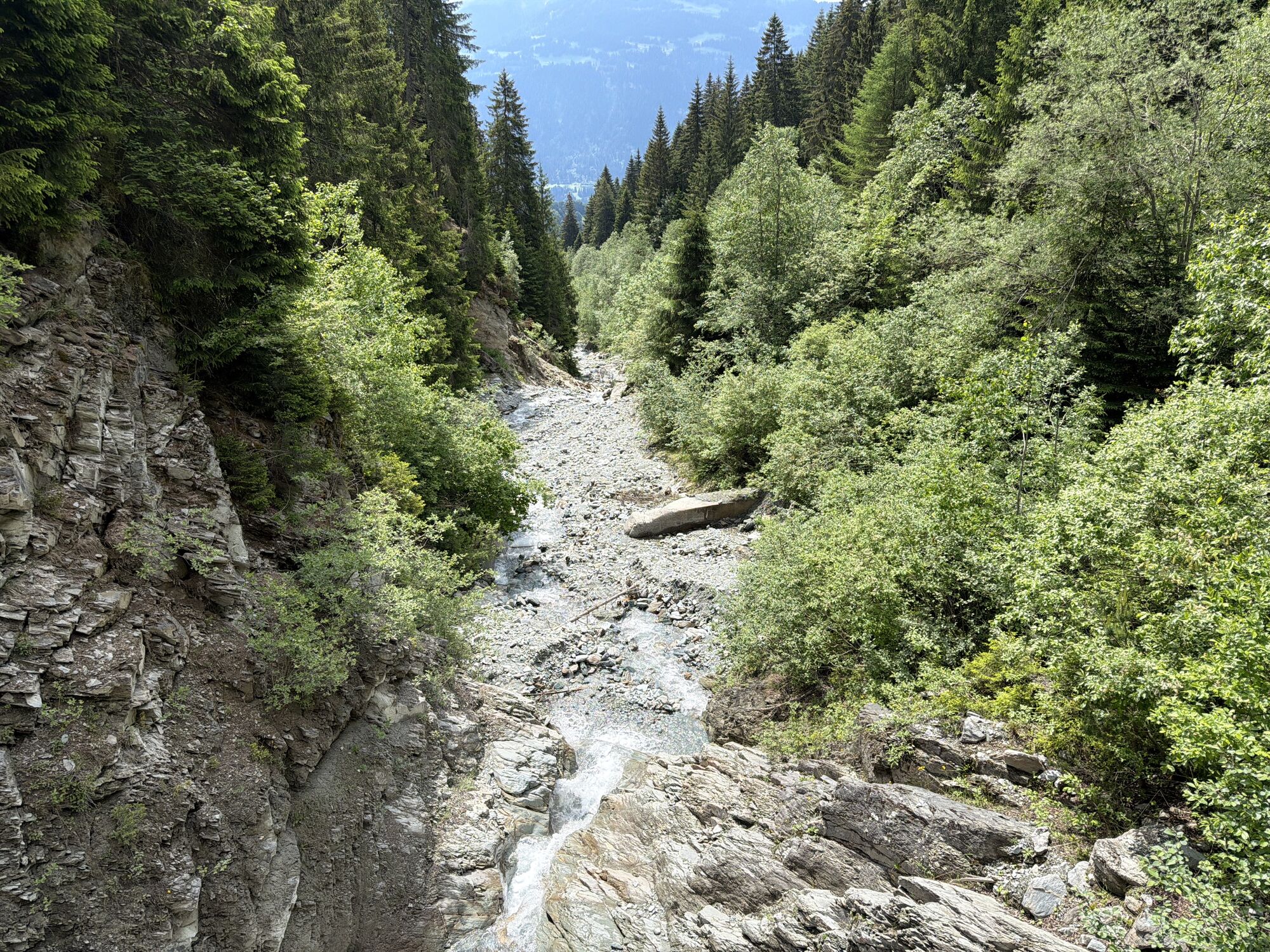
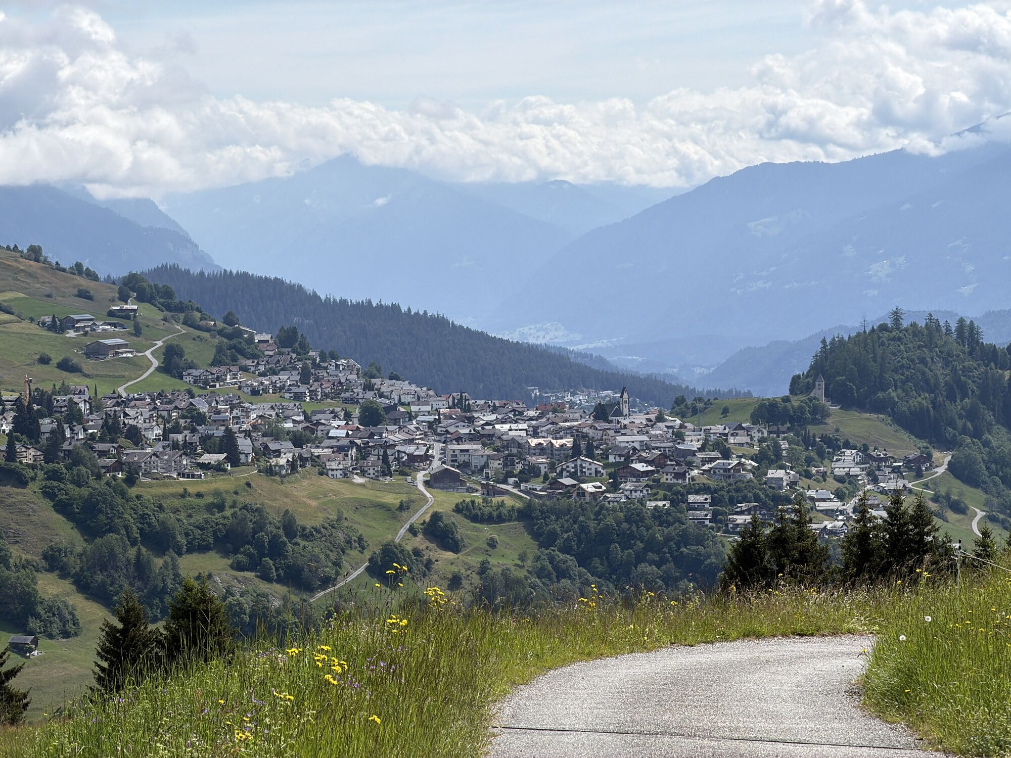
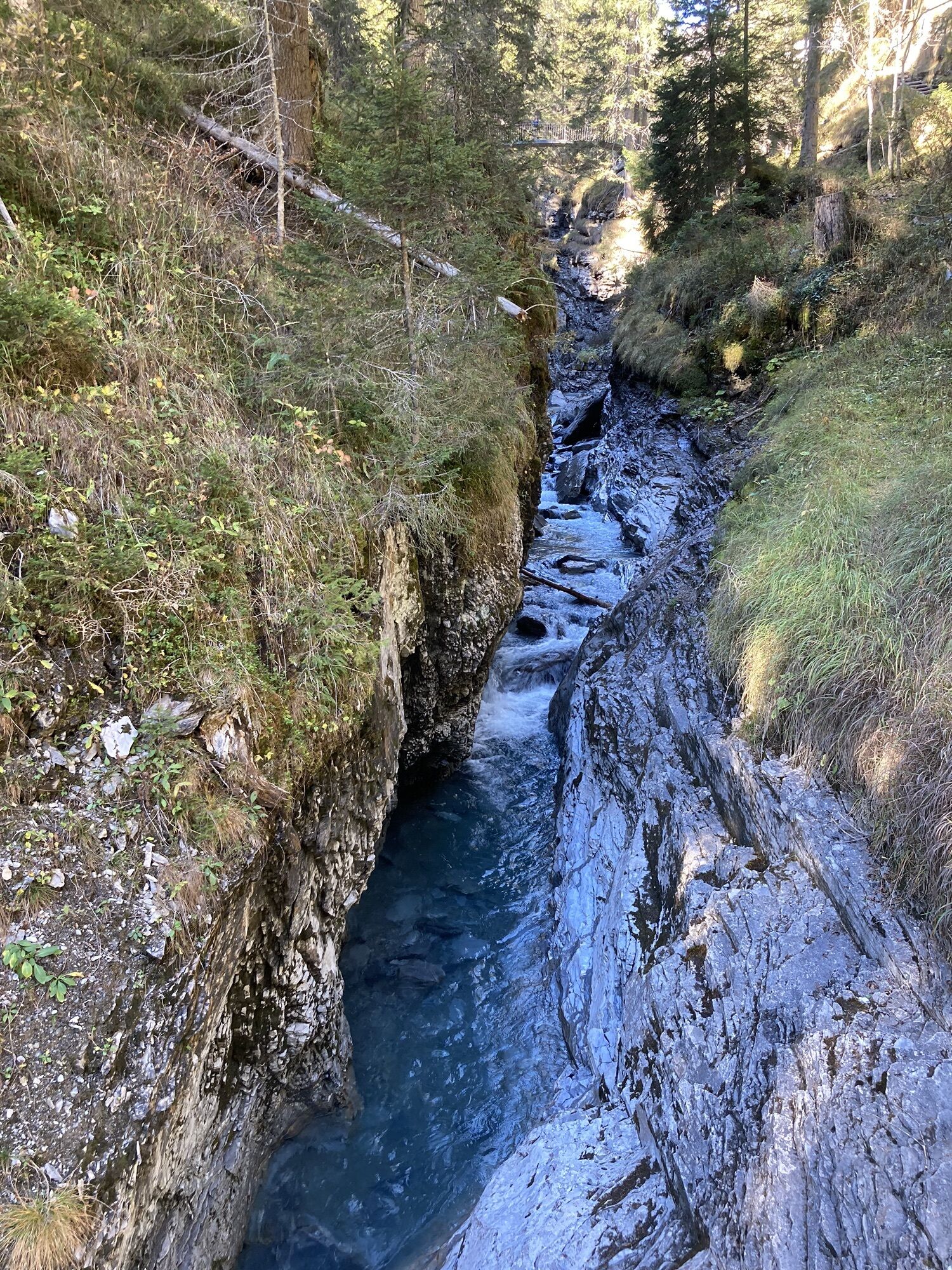
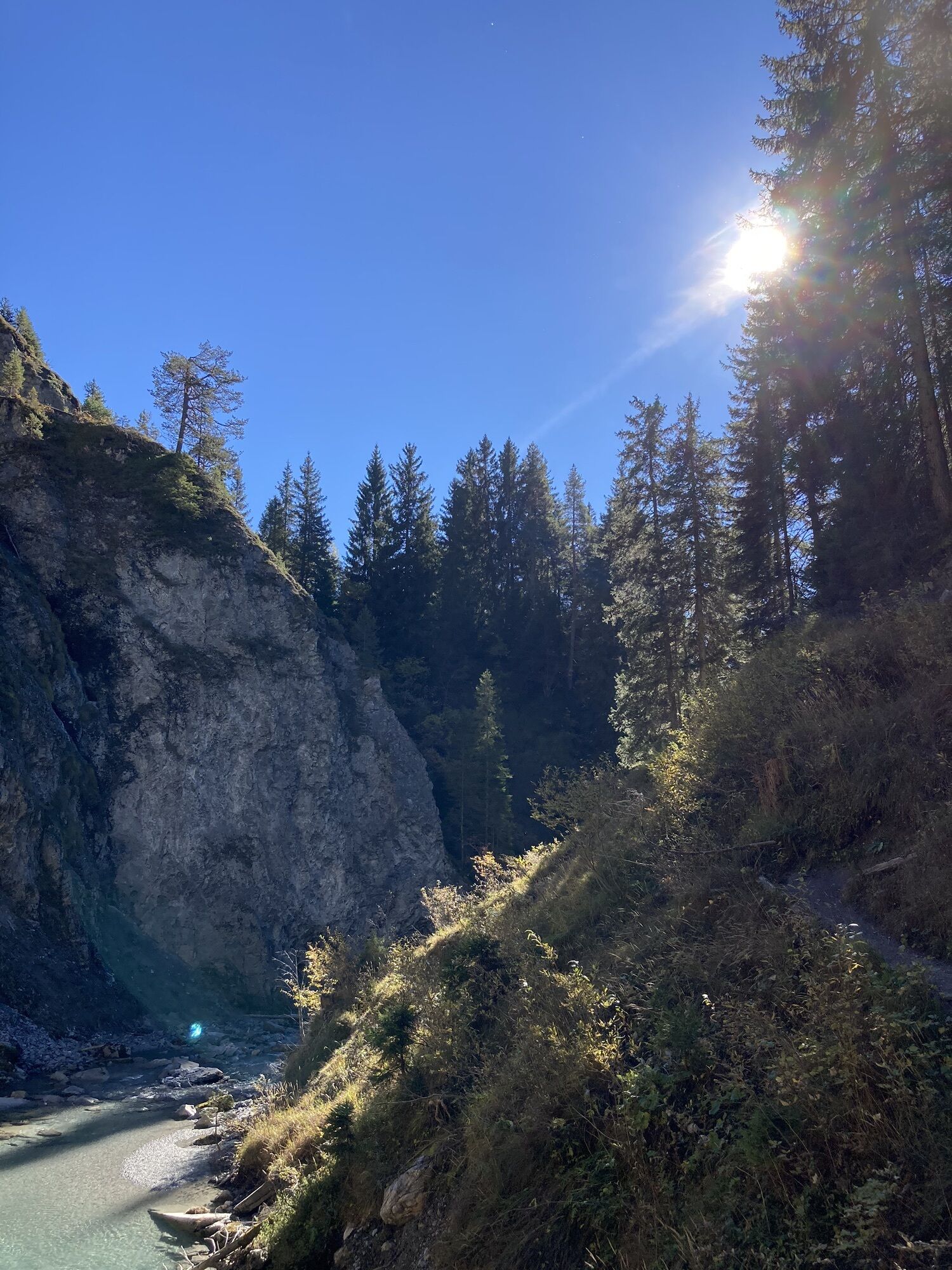
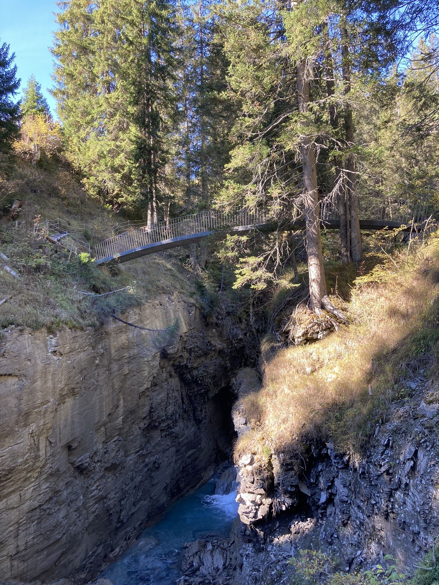
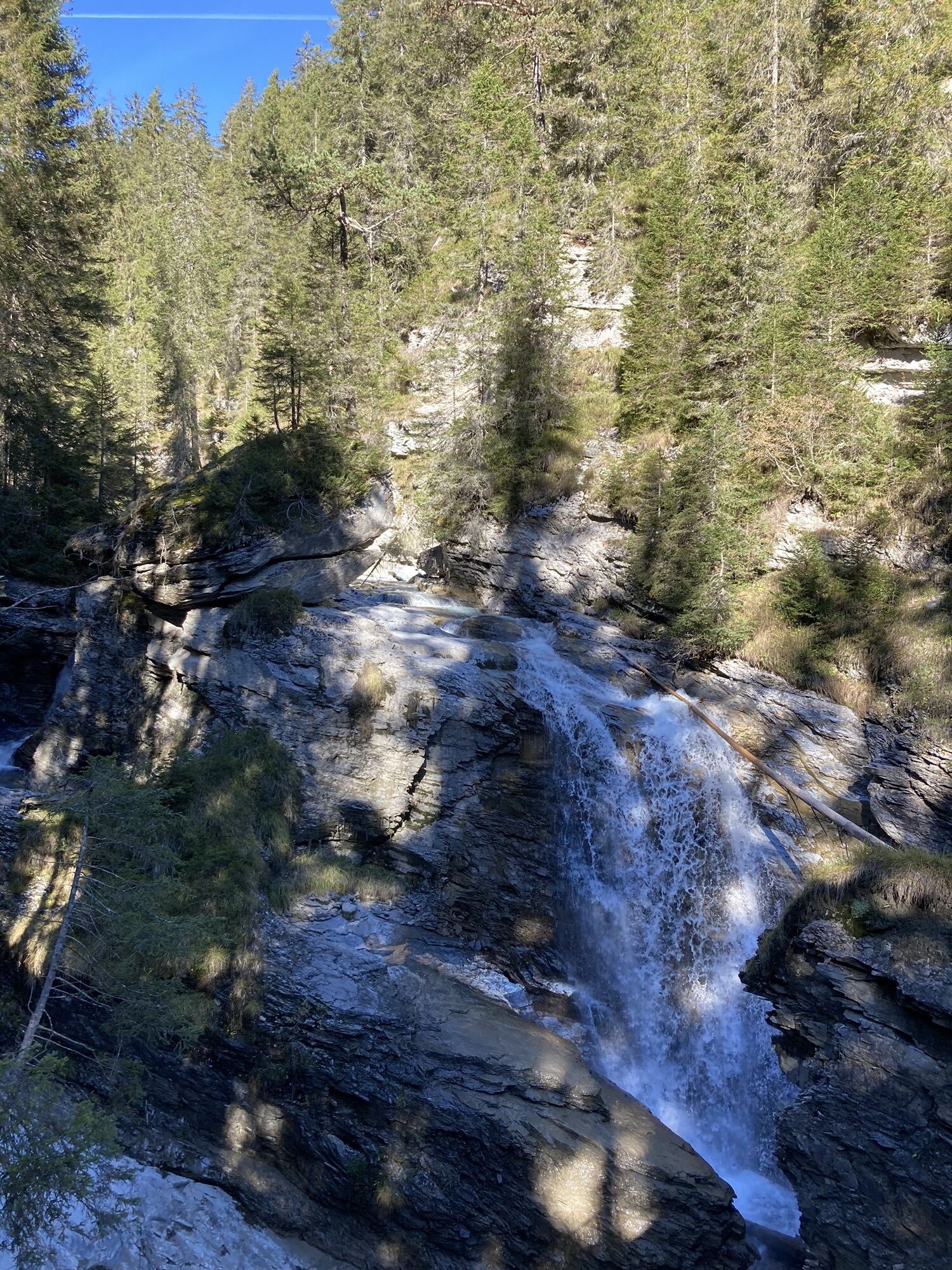
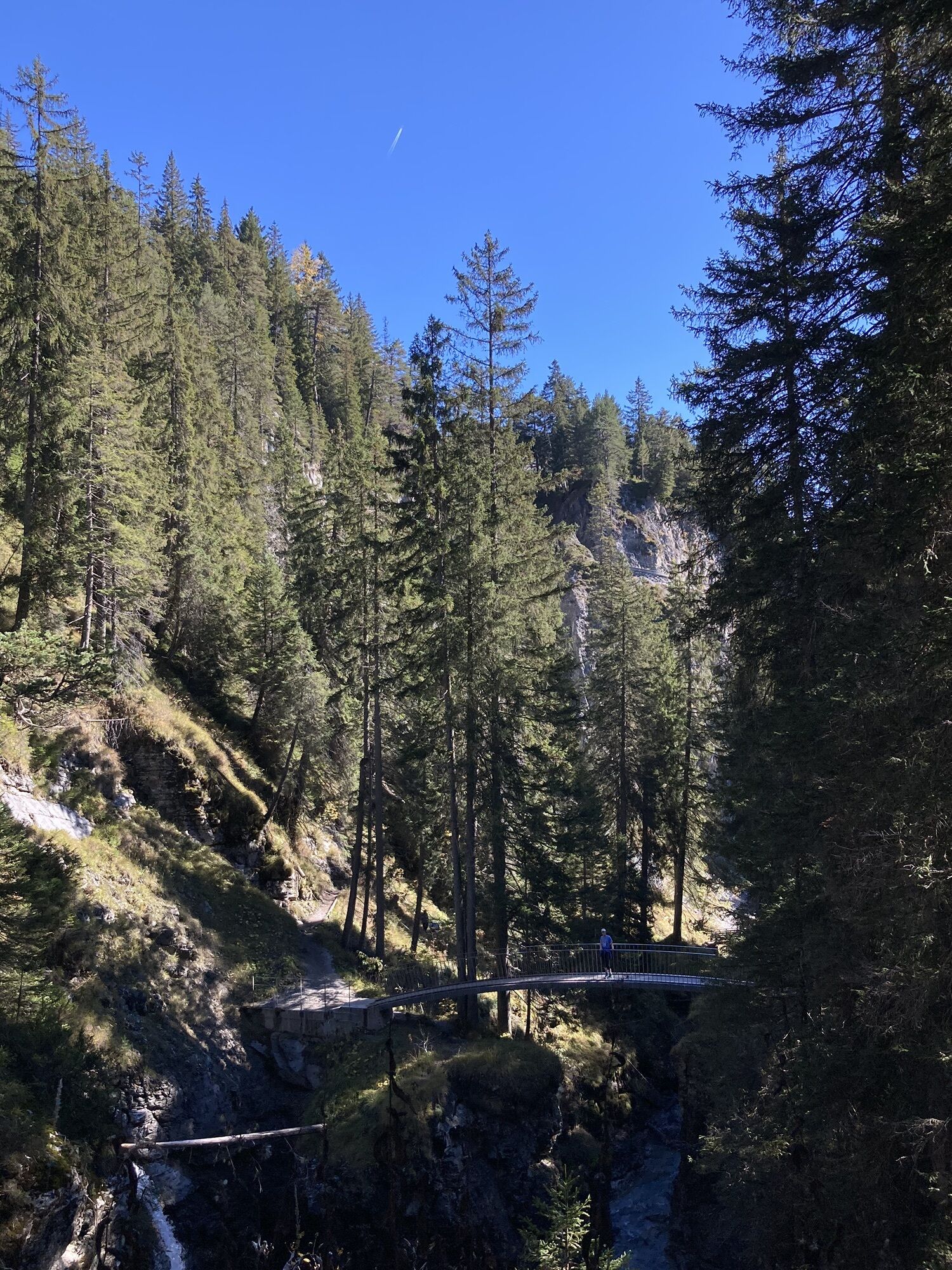
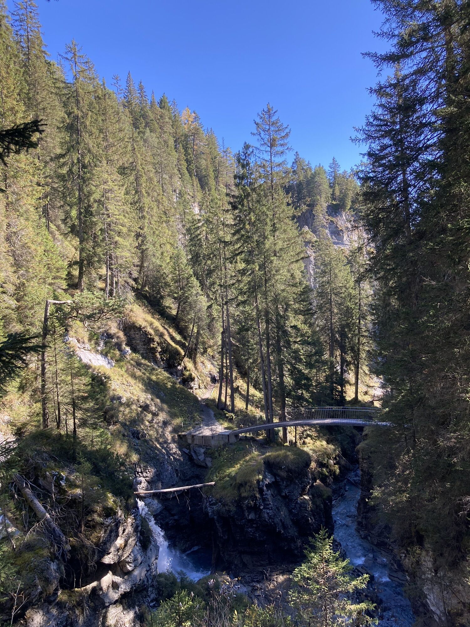
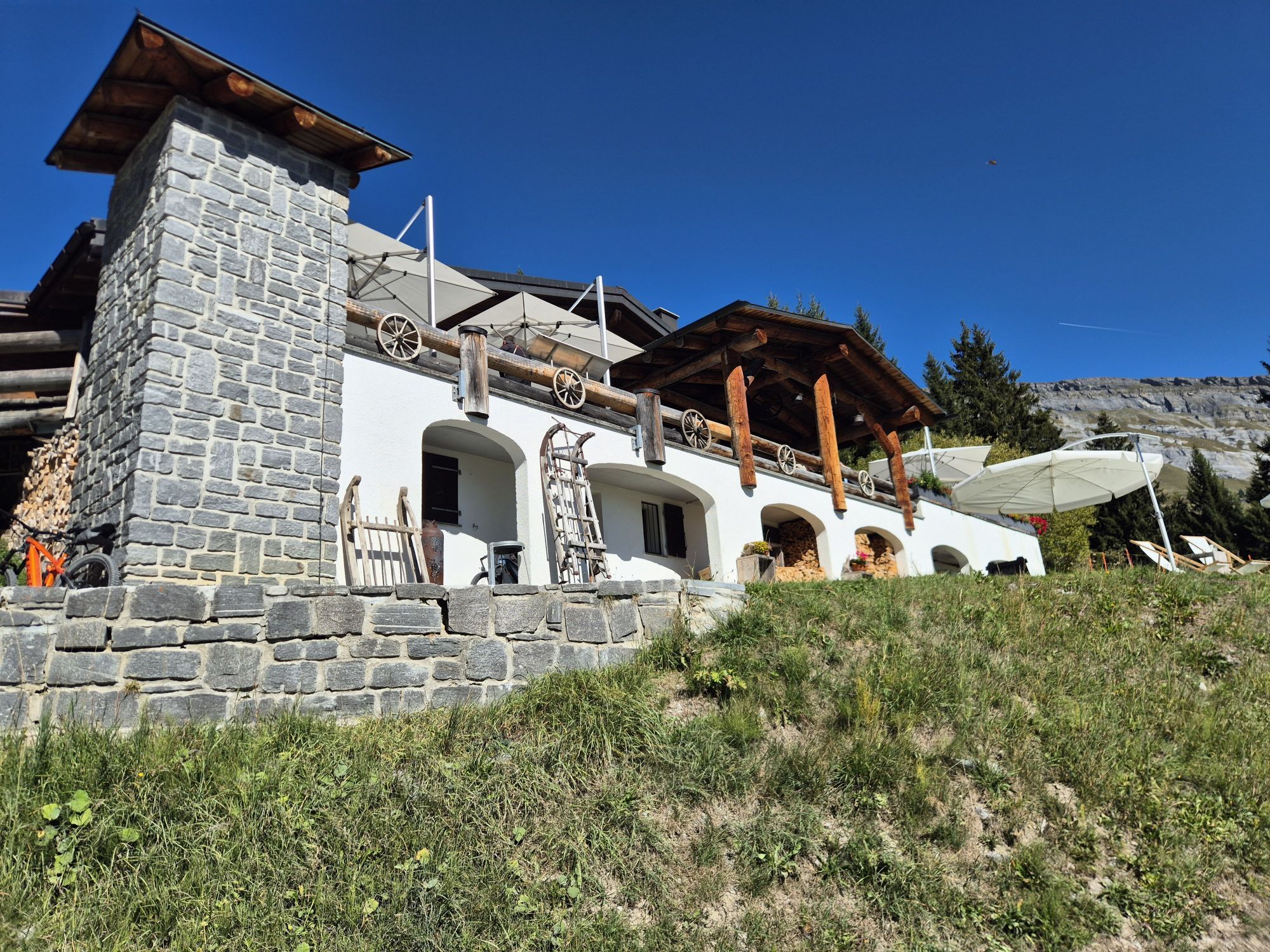
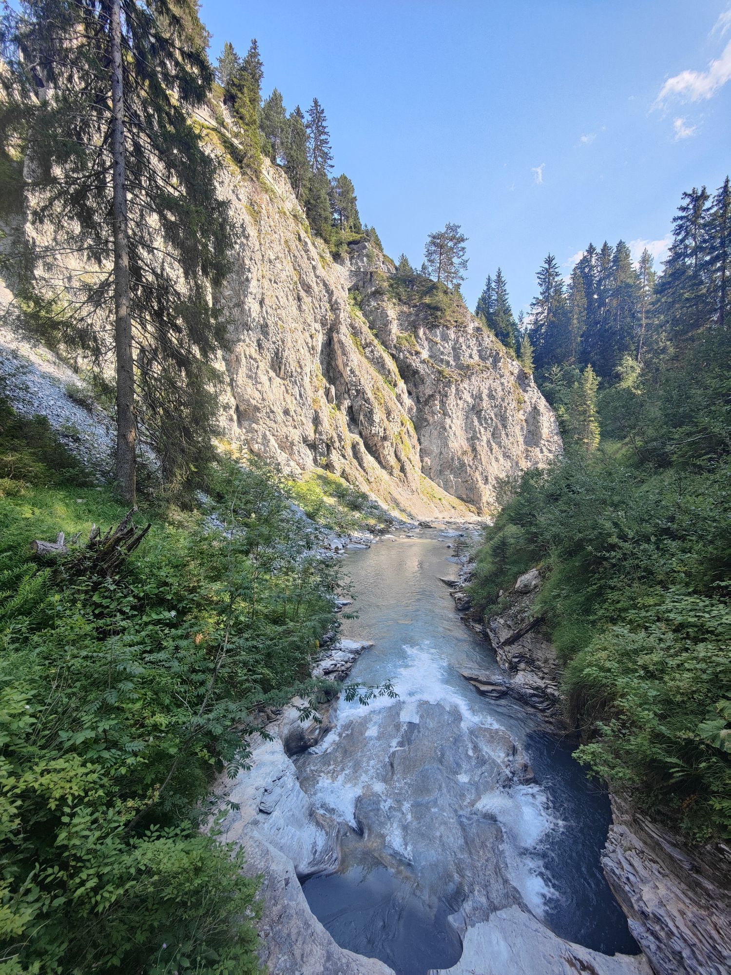
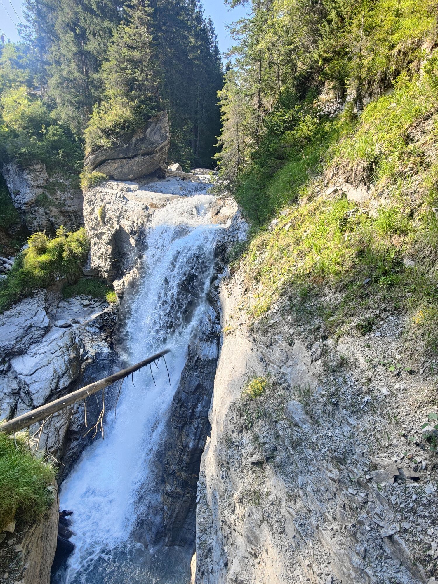
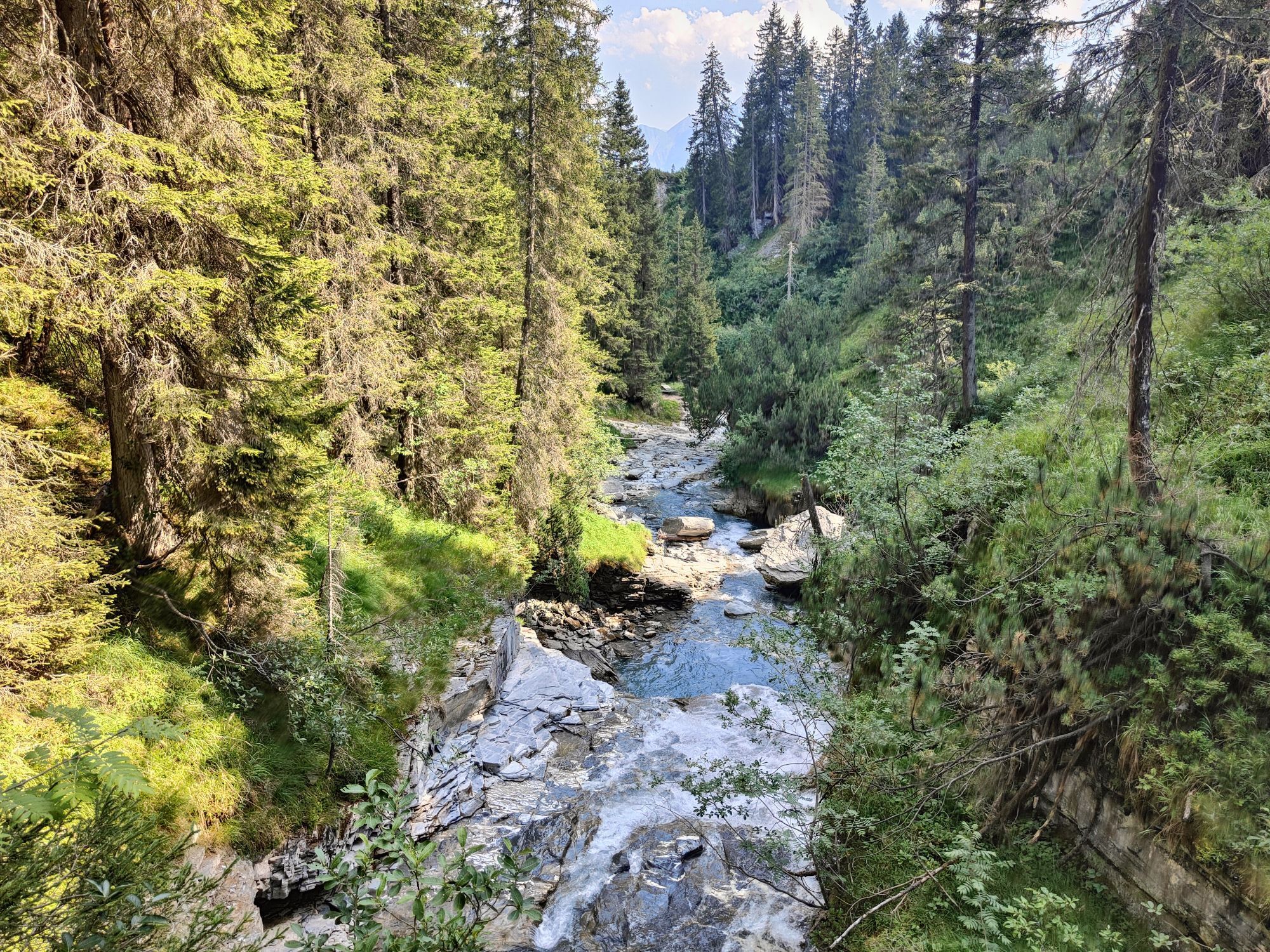
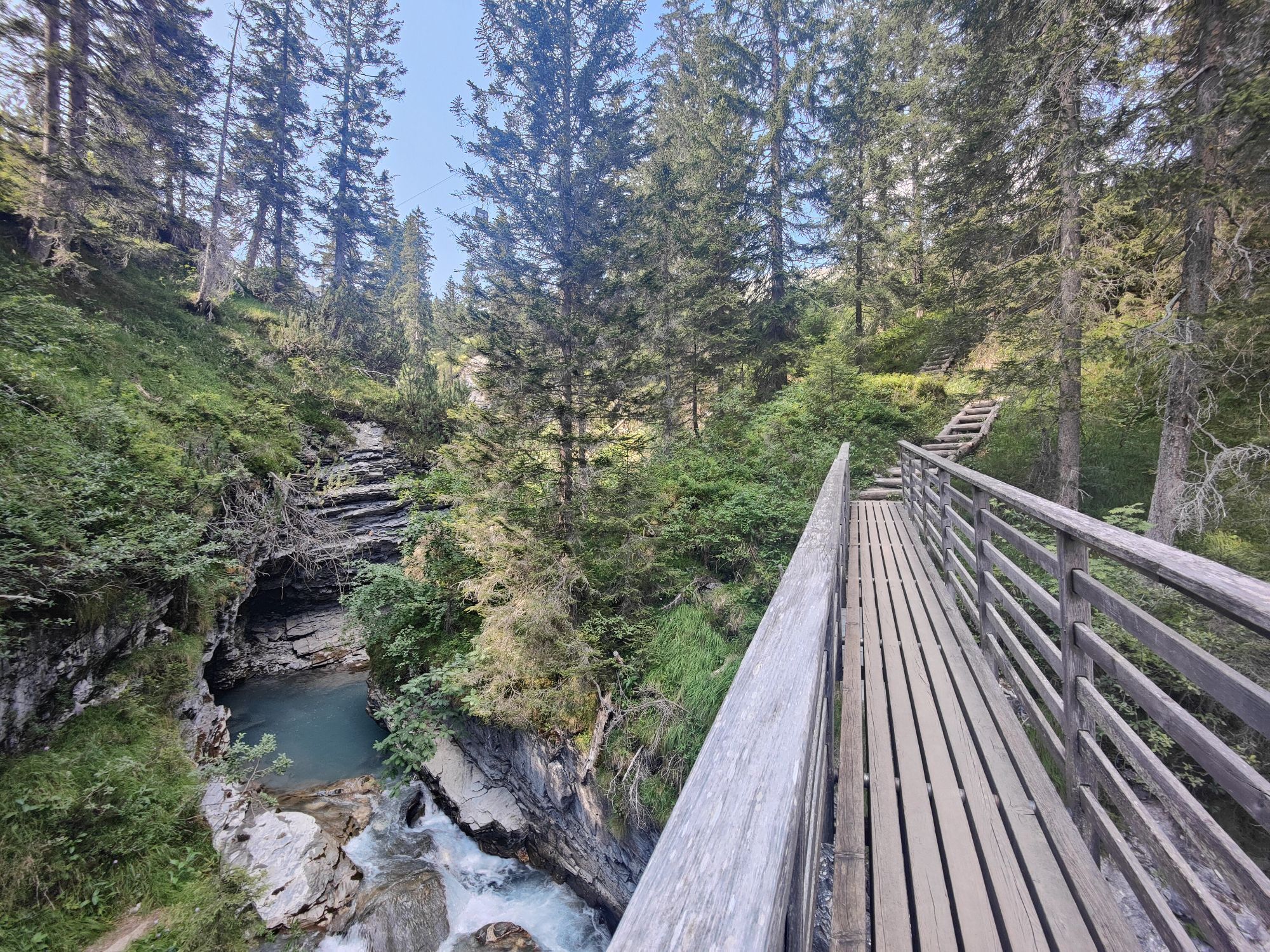
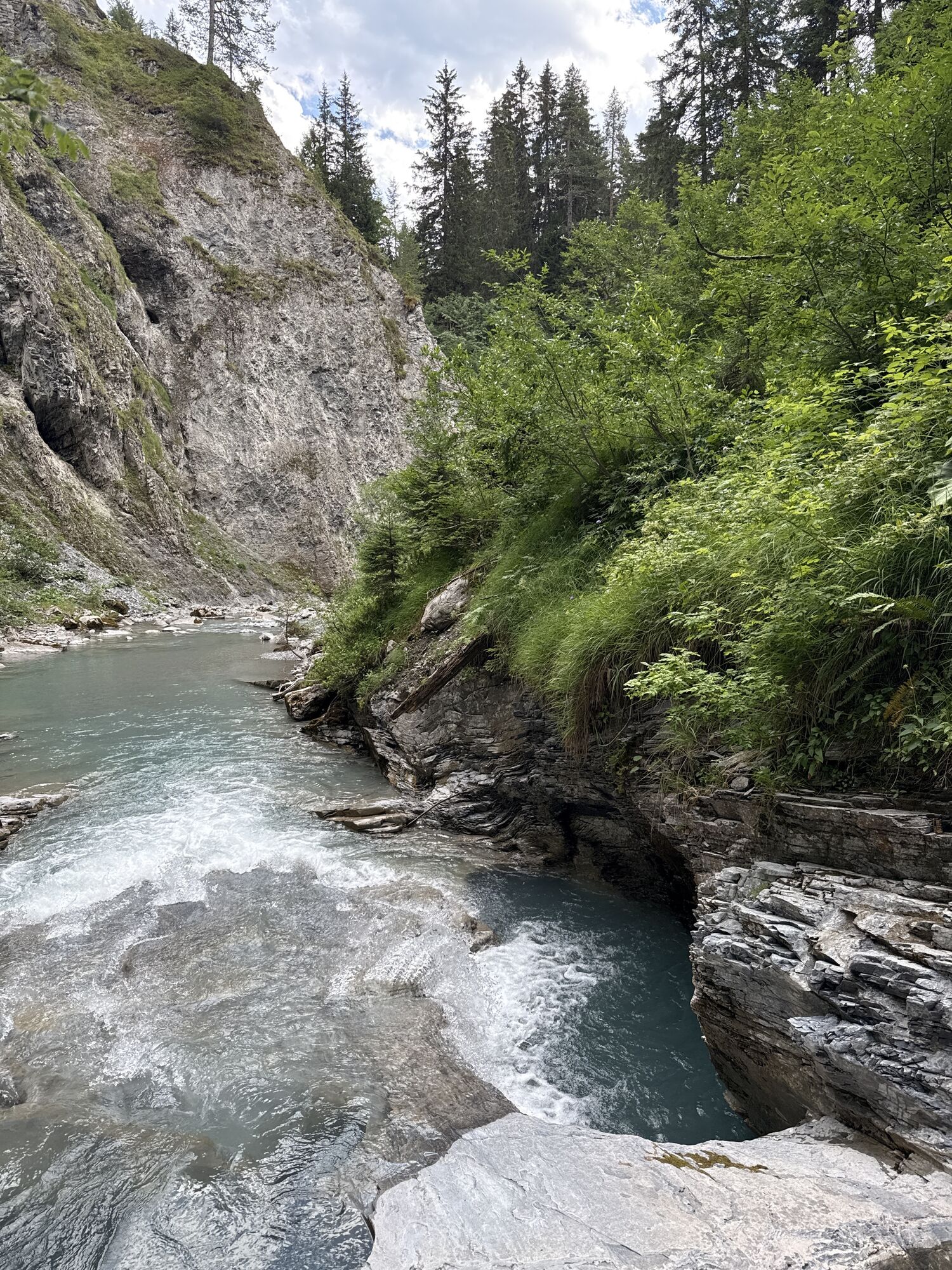
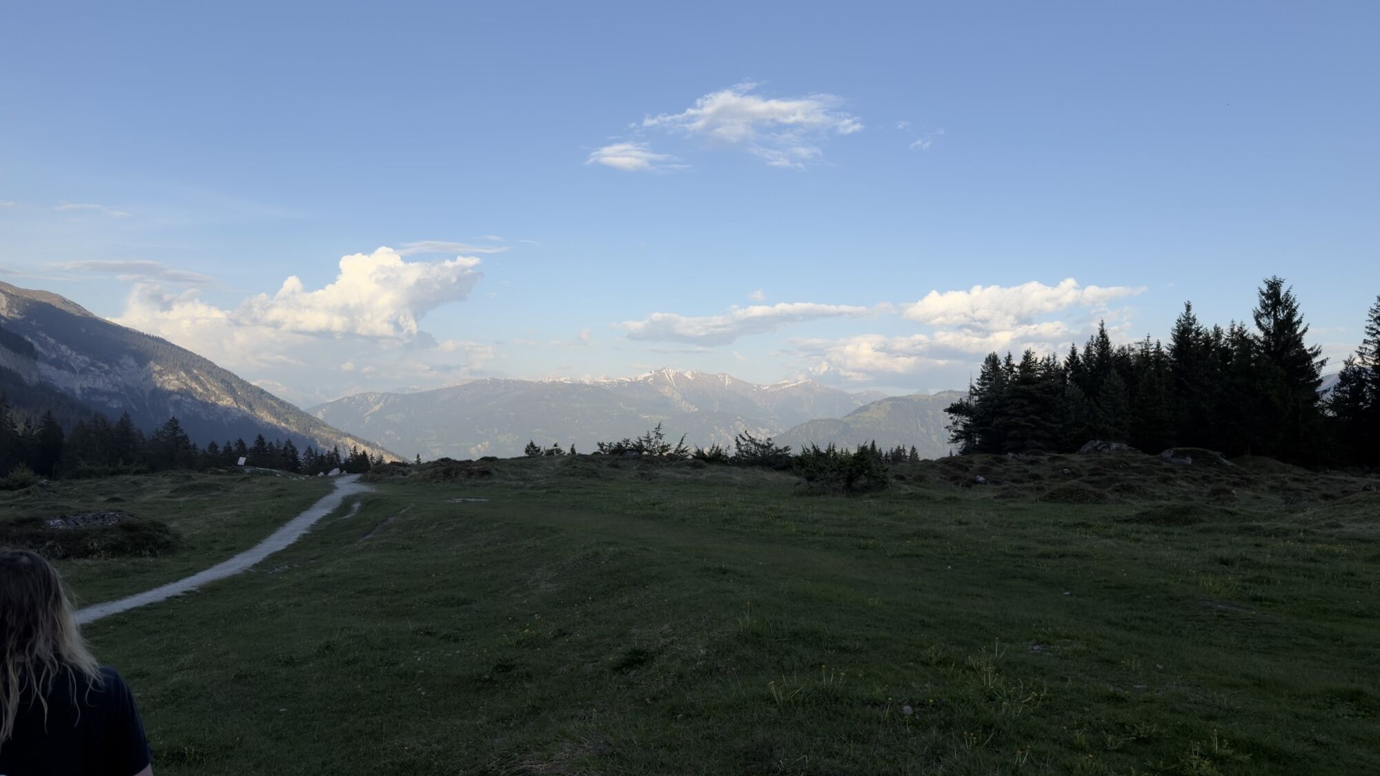
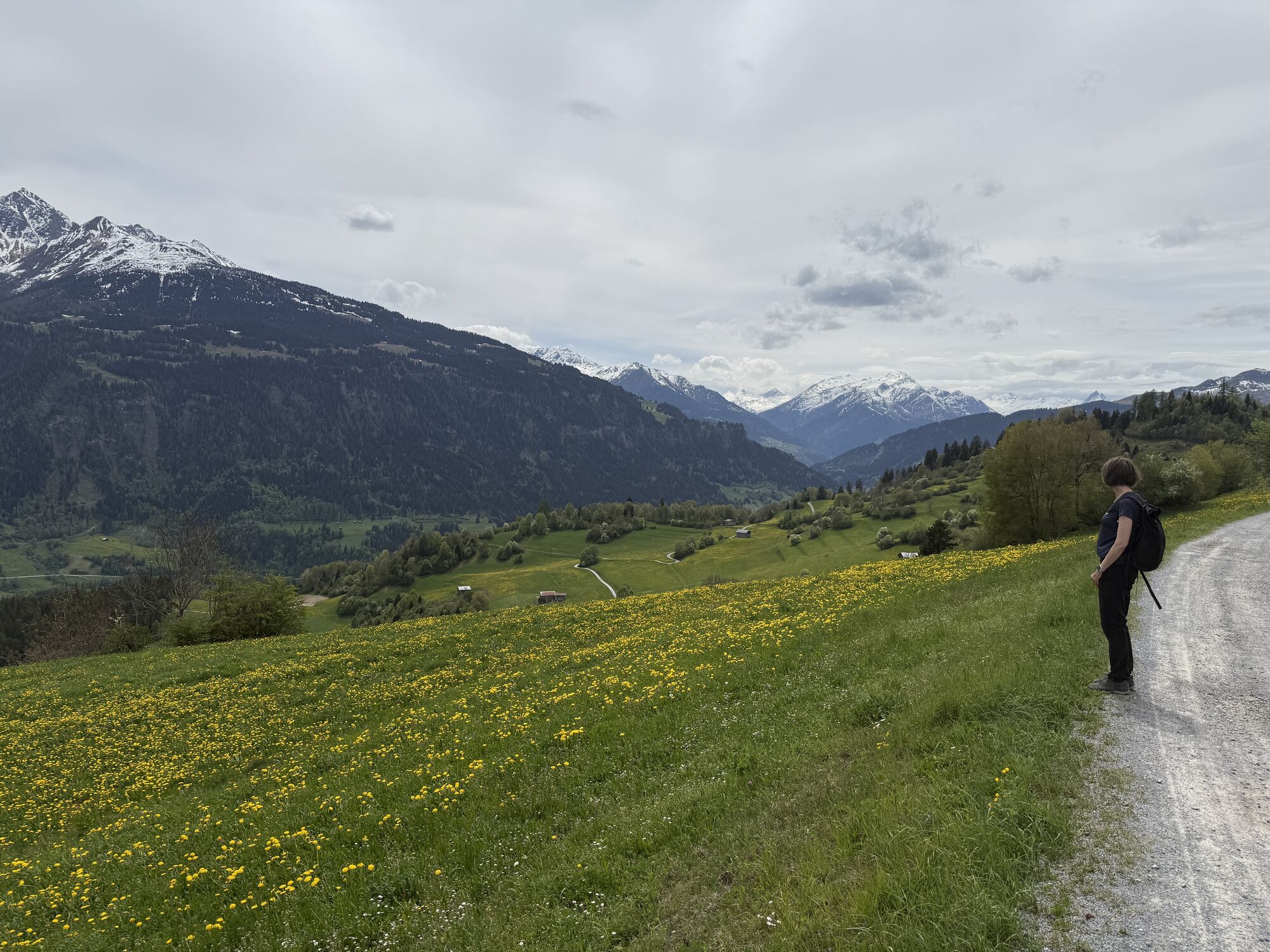
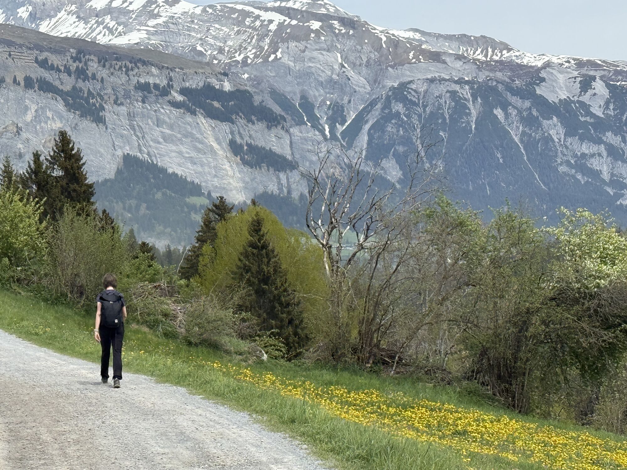
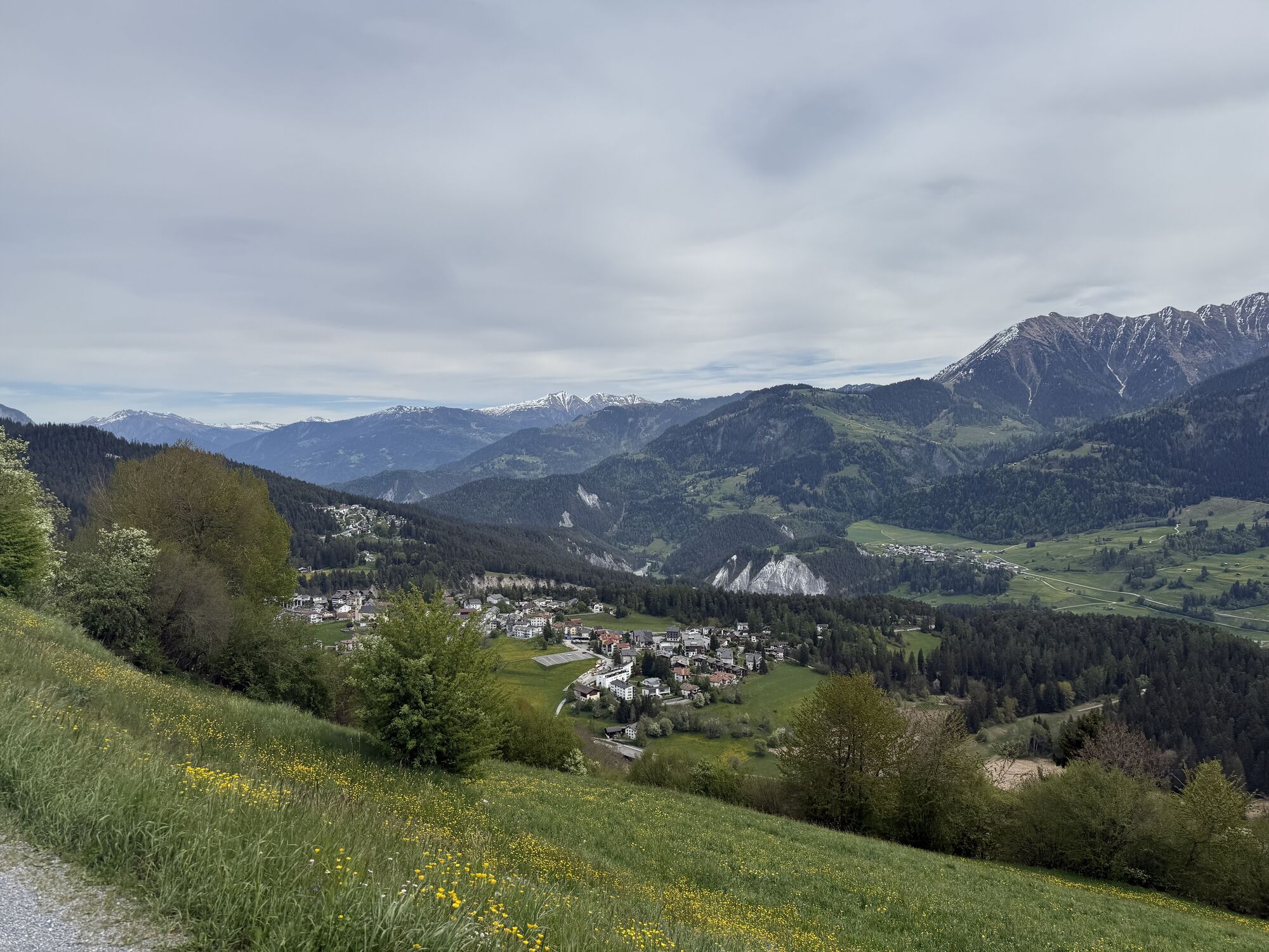
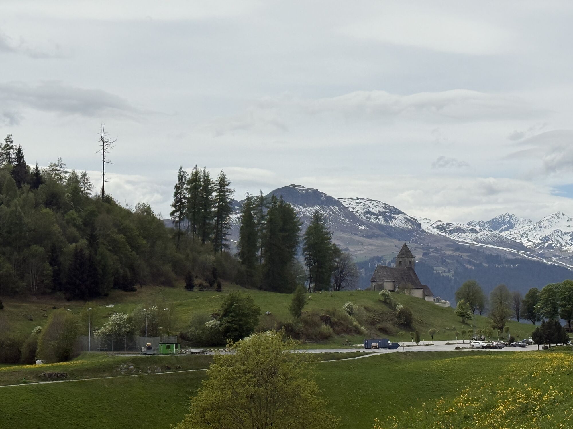
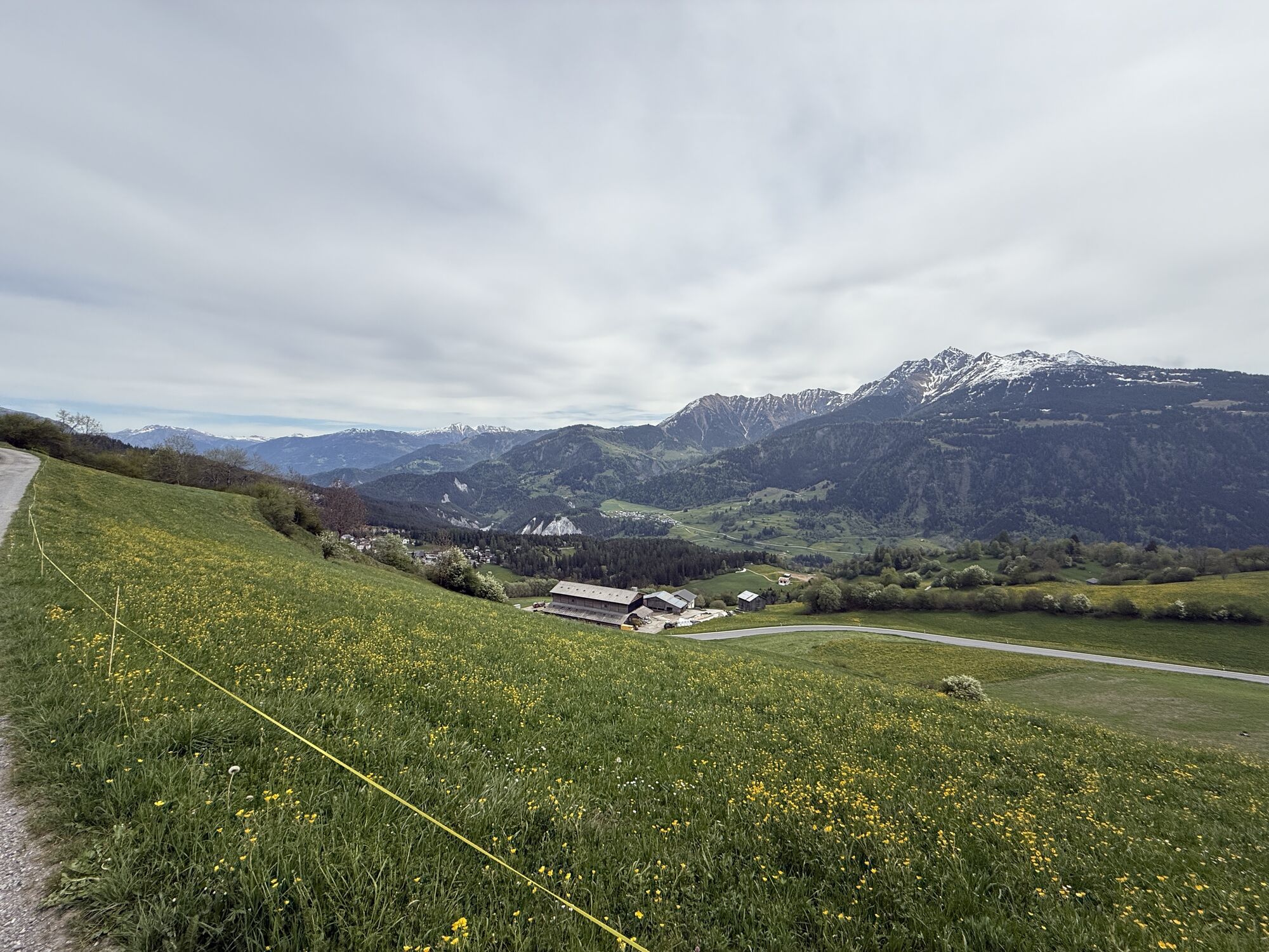
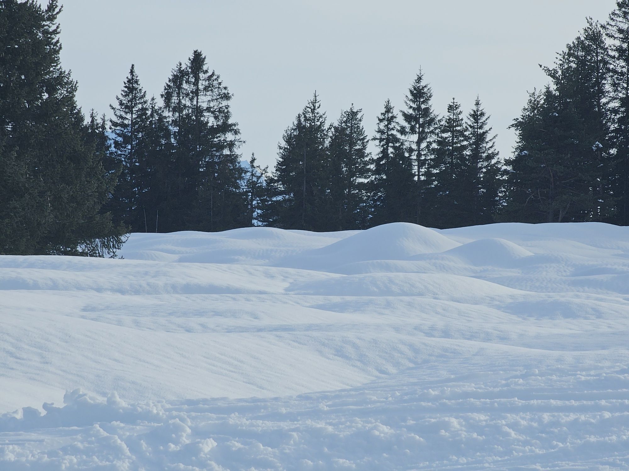
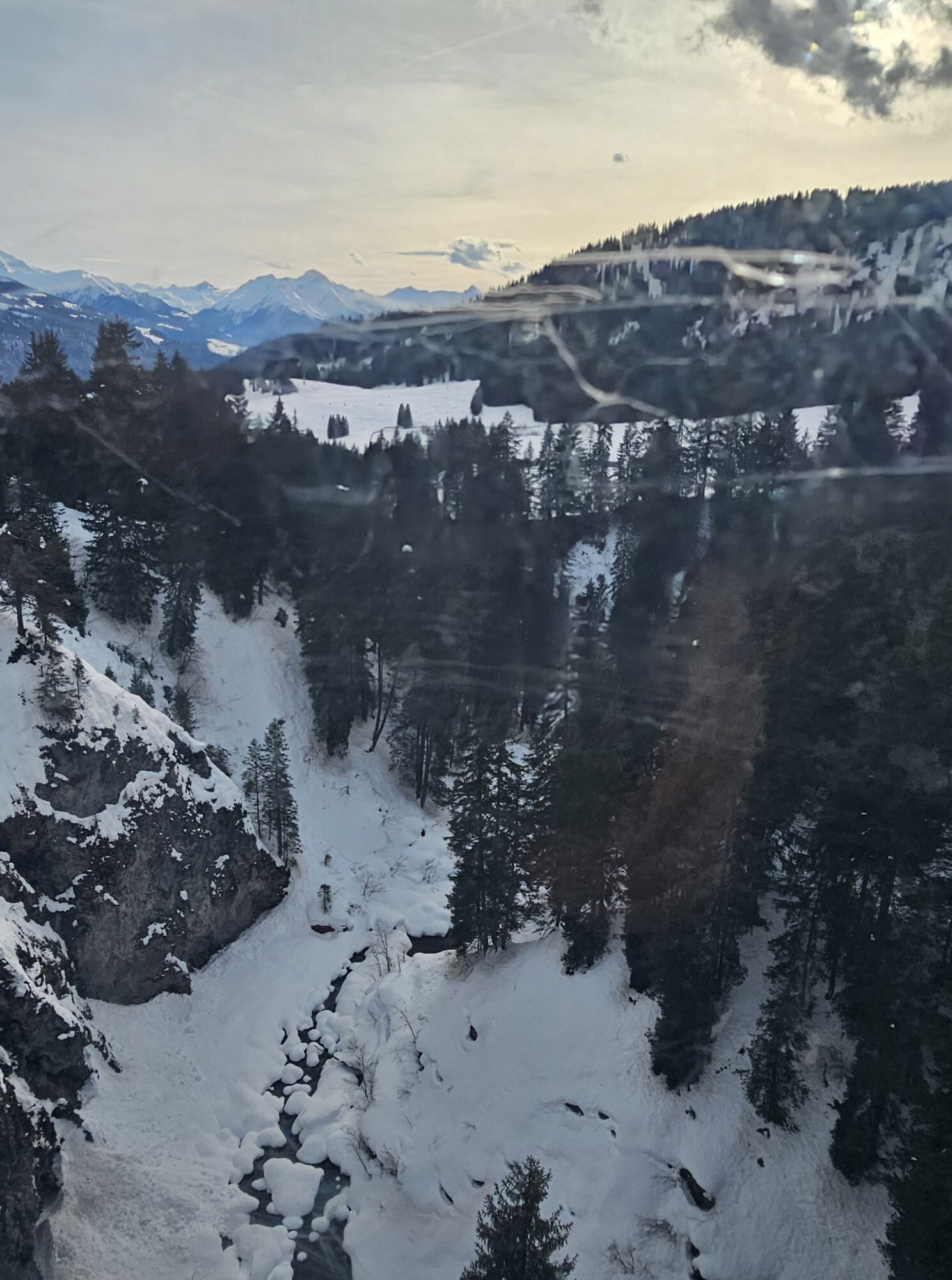
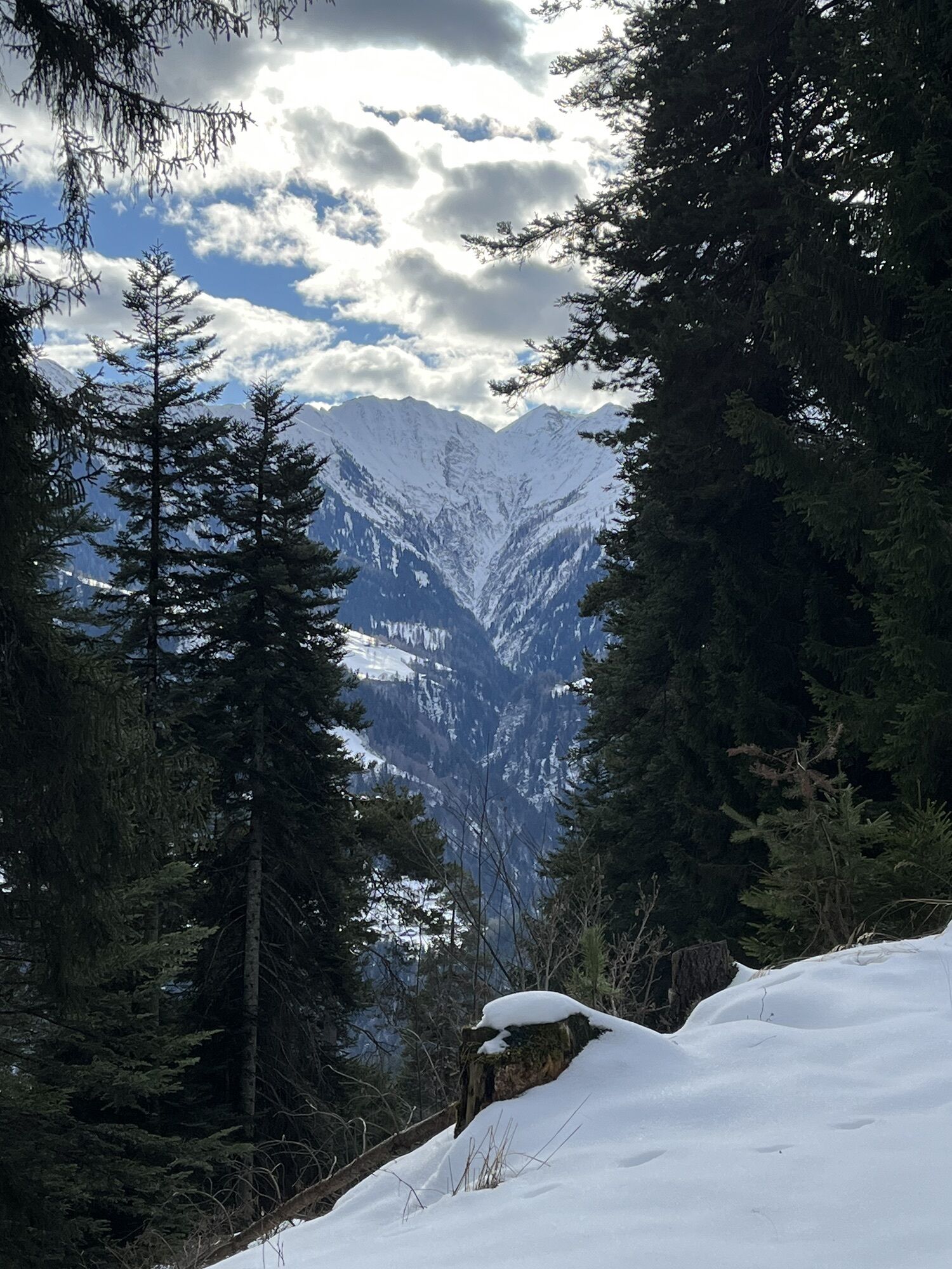
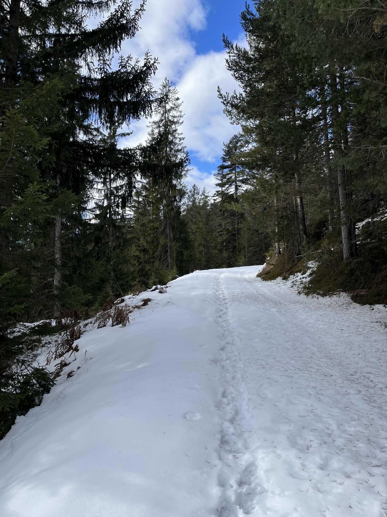
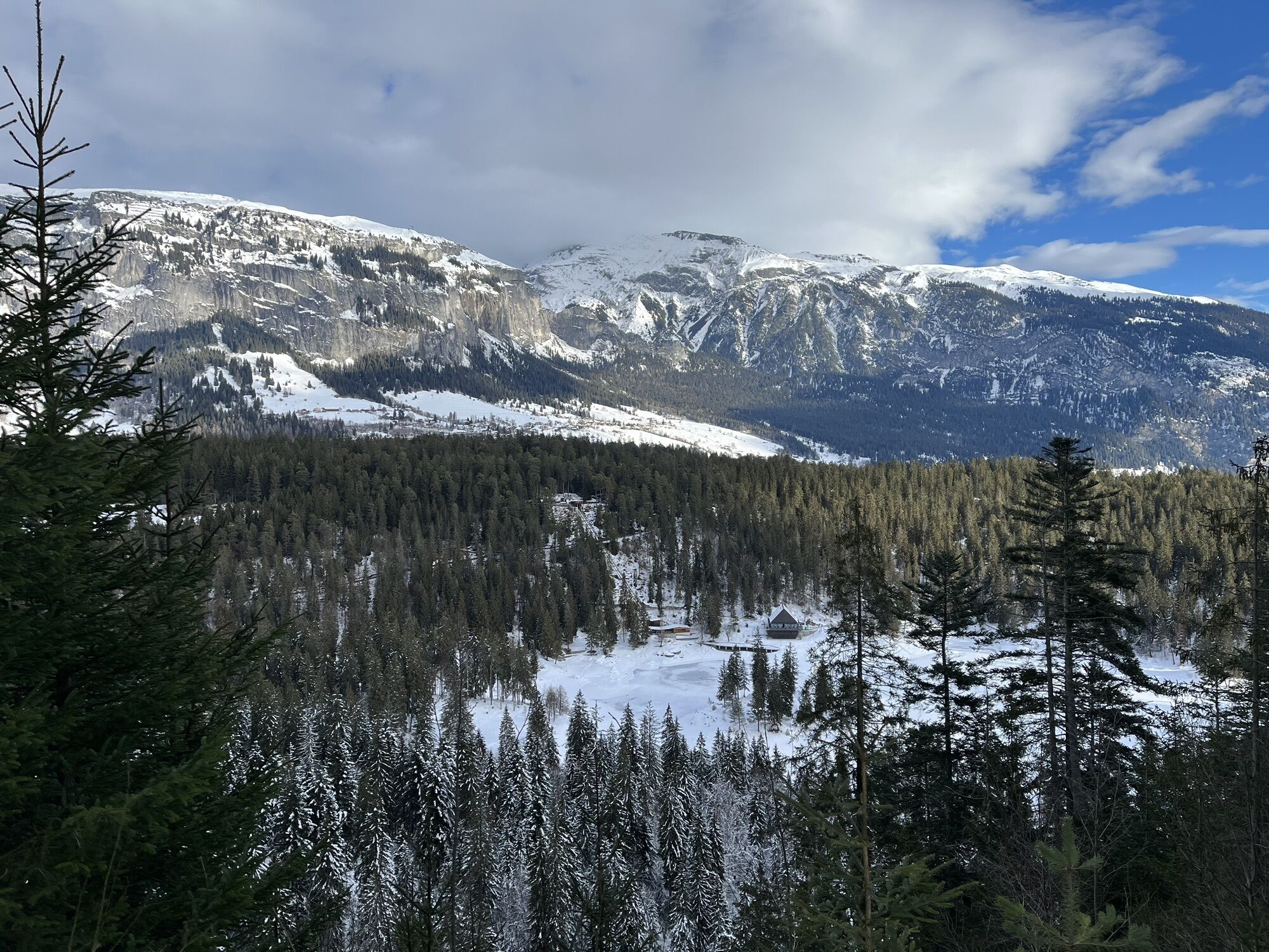
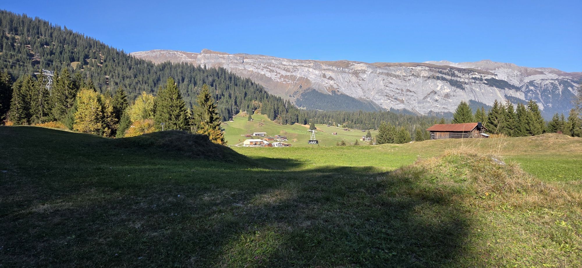
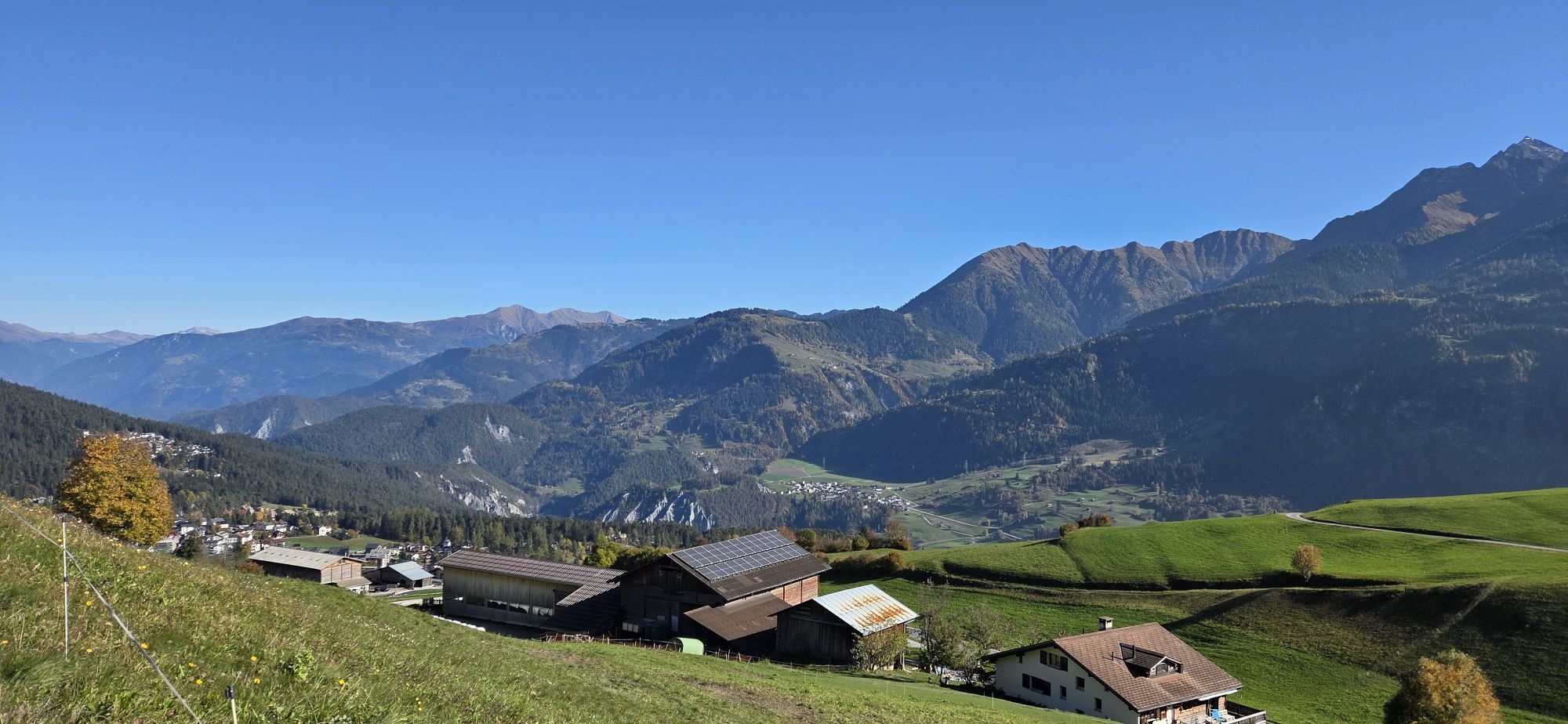
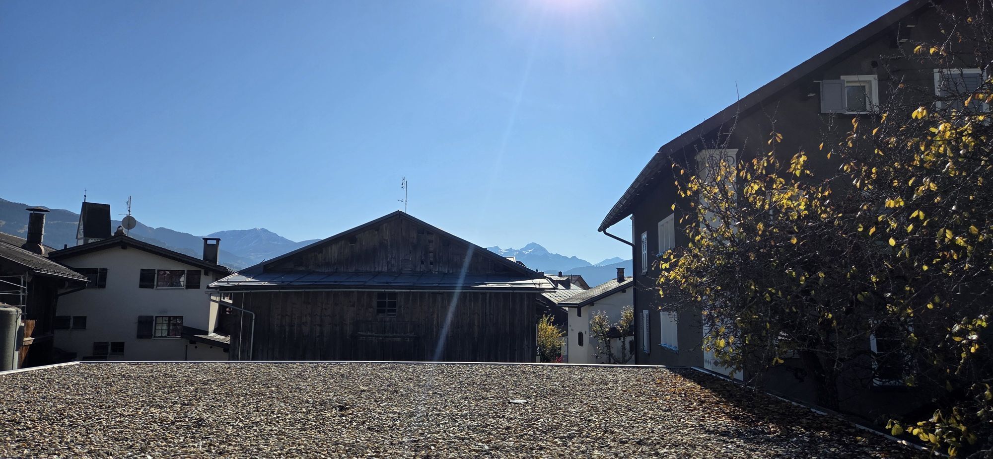
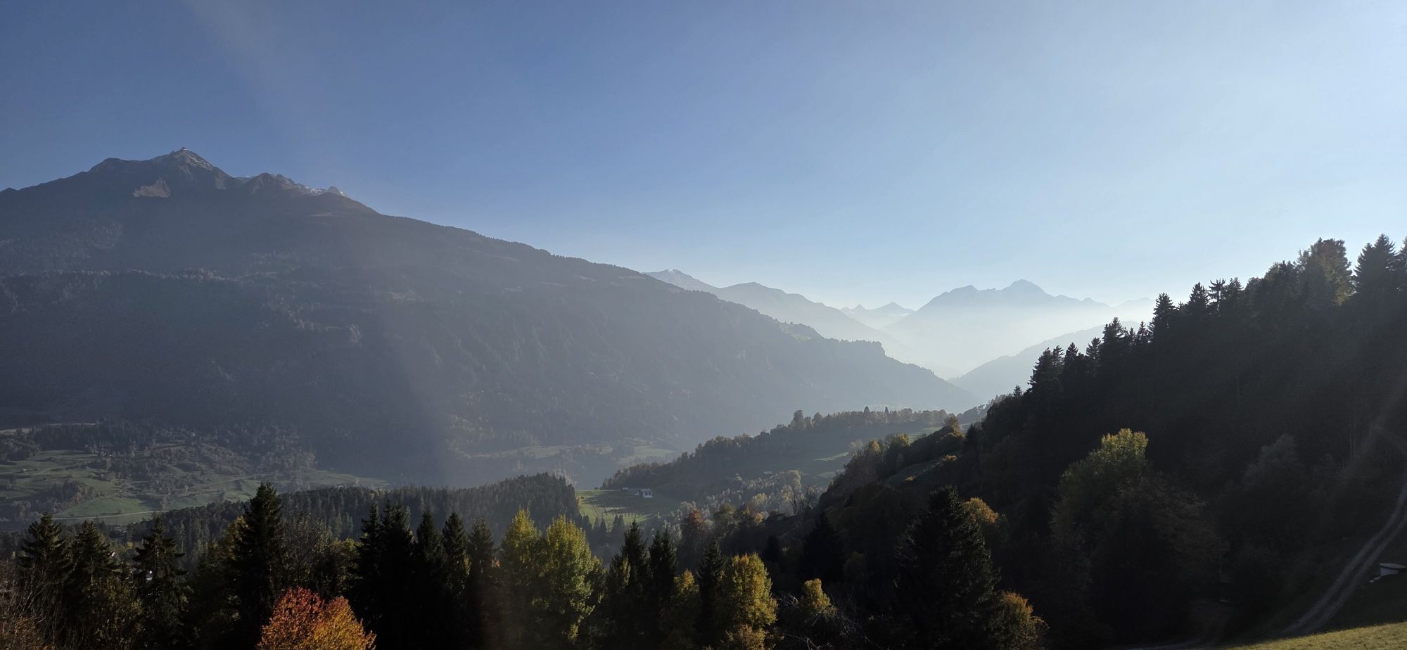
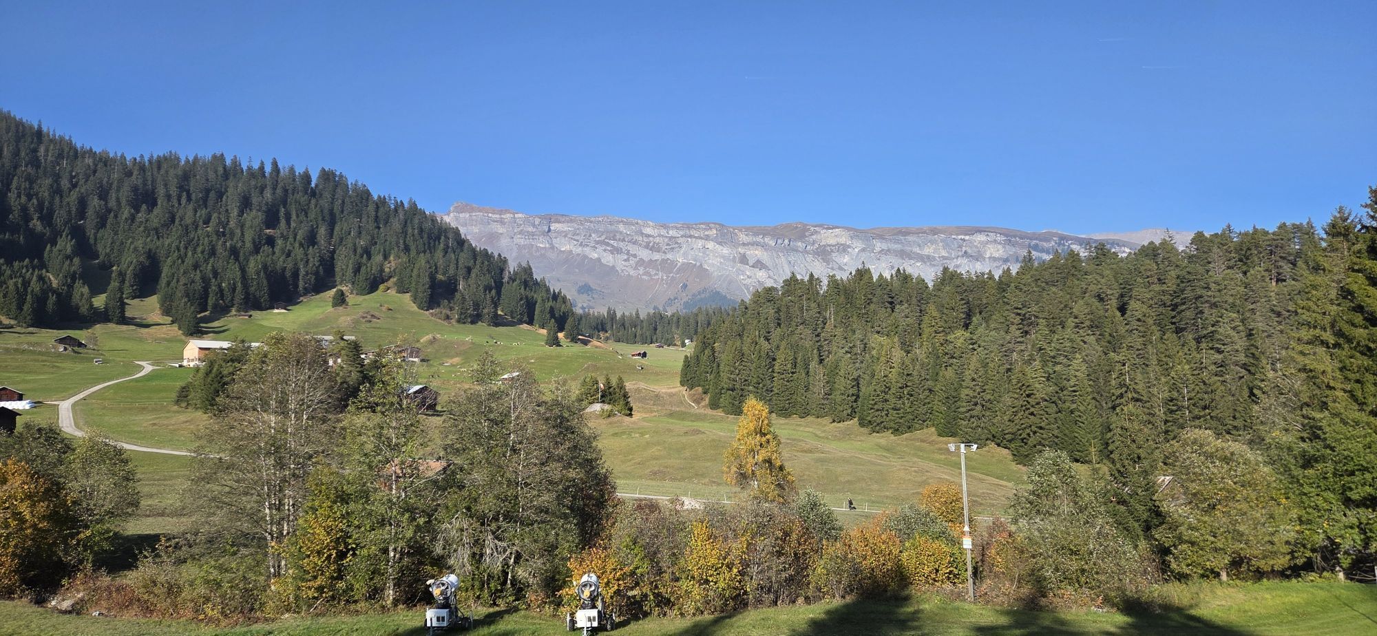
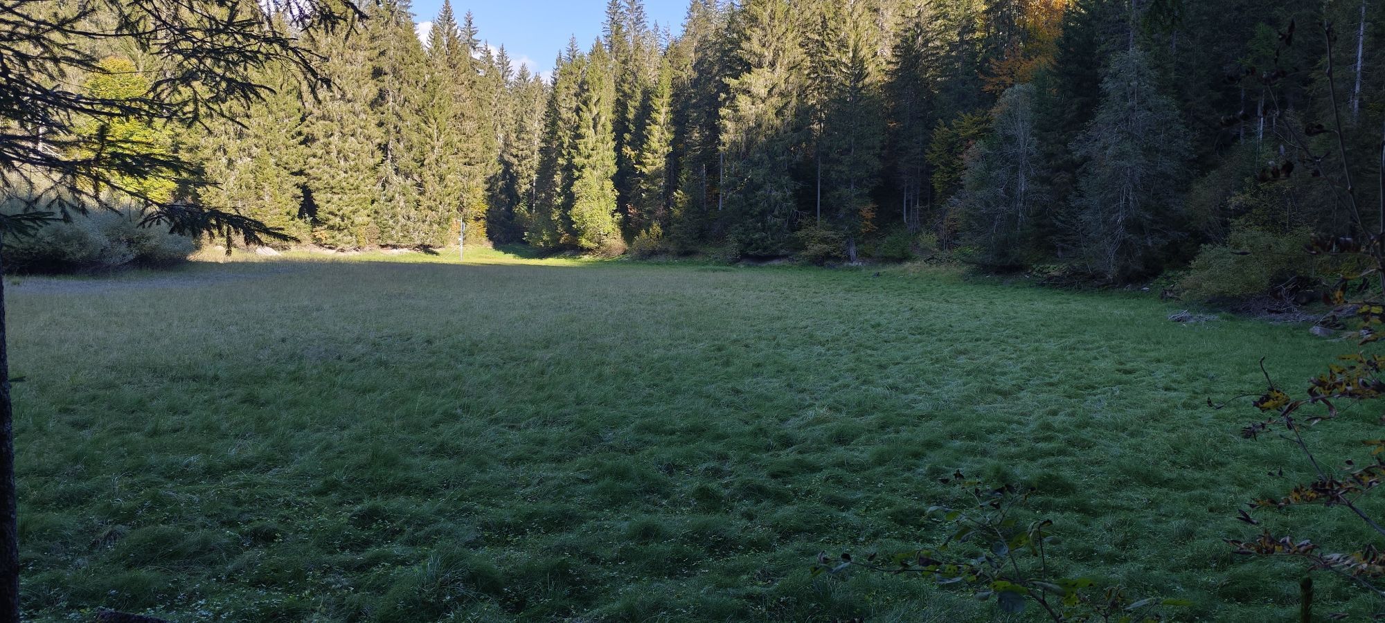
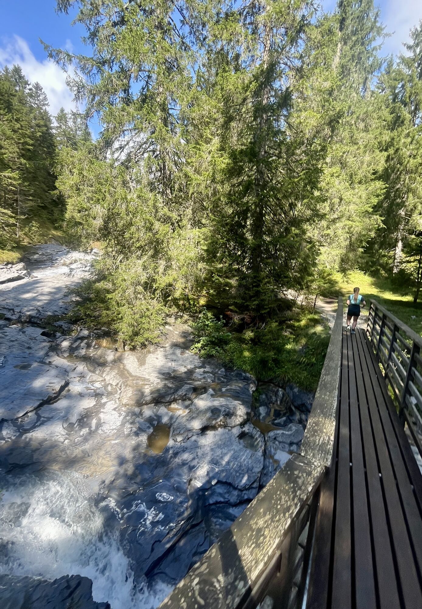
Leisurely, you first climb up from Laax Murschetg, the route leads you over the slopes of the Surselva to Falera and on to Ladir. Past old farmhouses, small chapels, and through the unique panorama of...
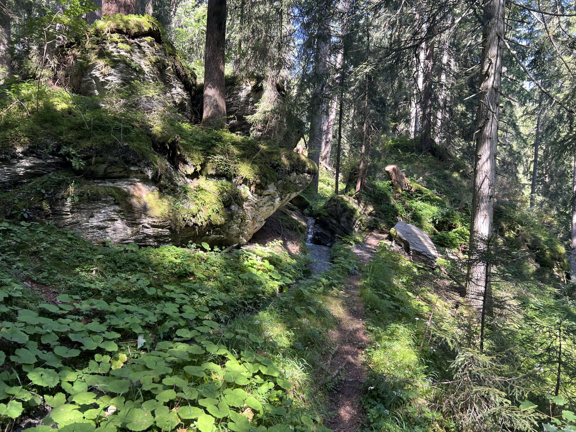
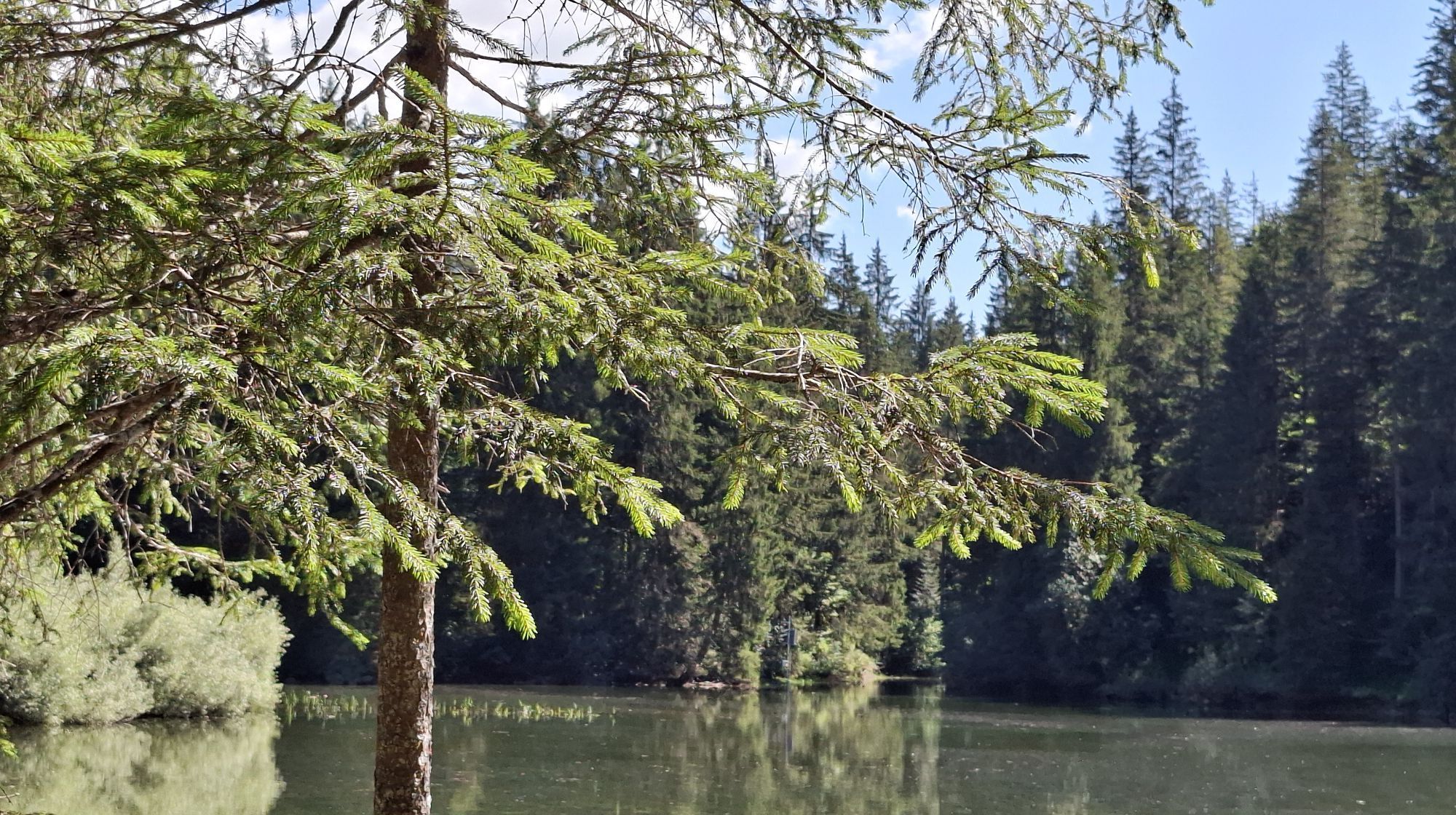
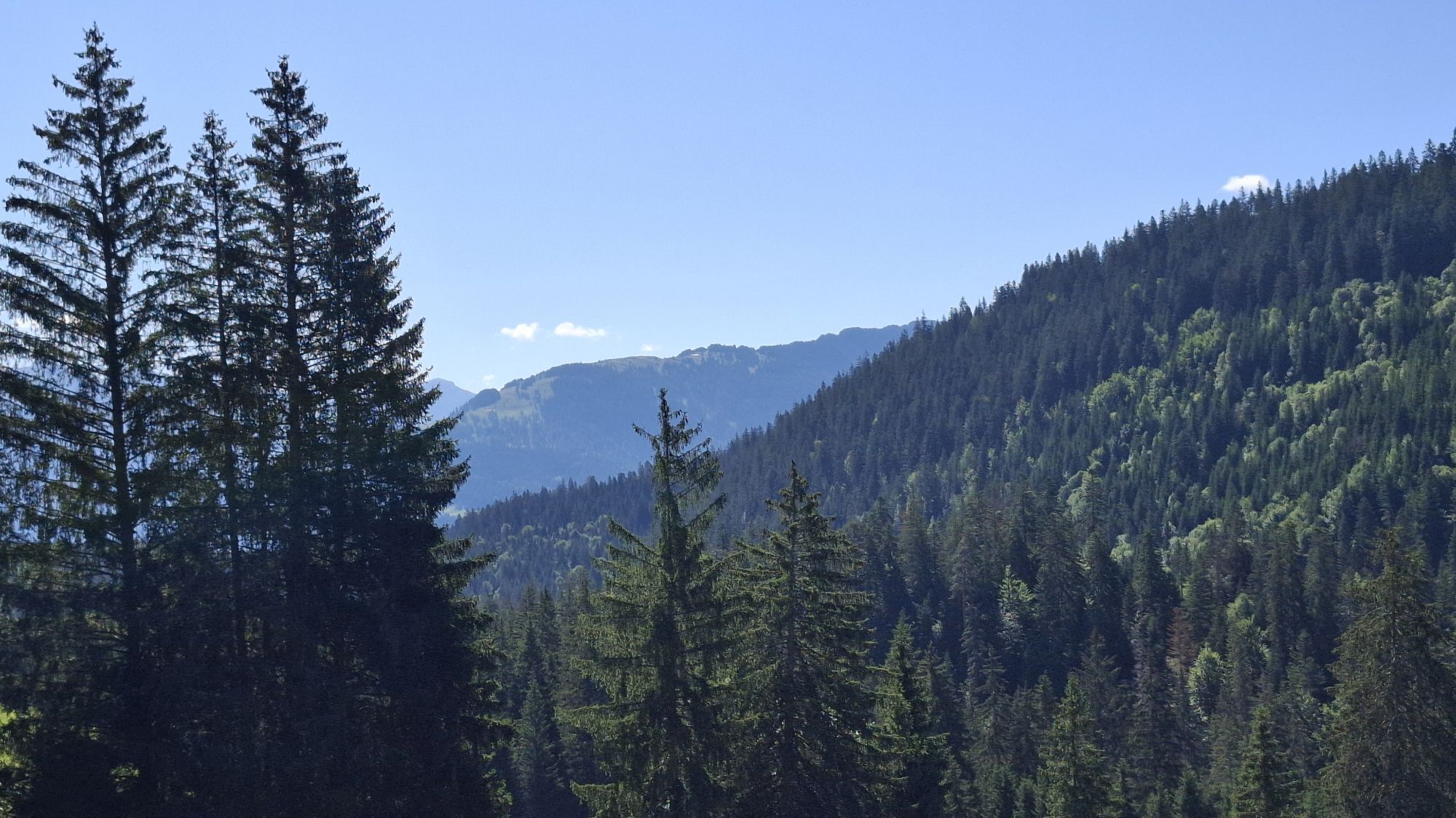
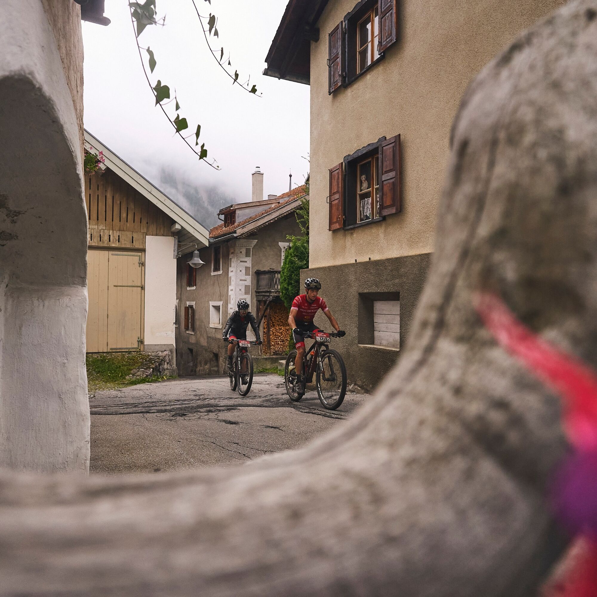
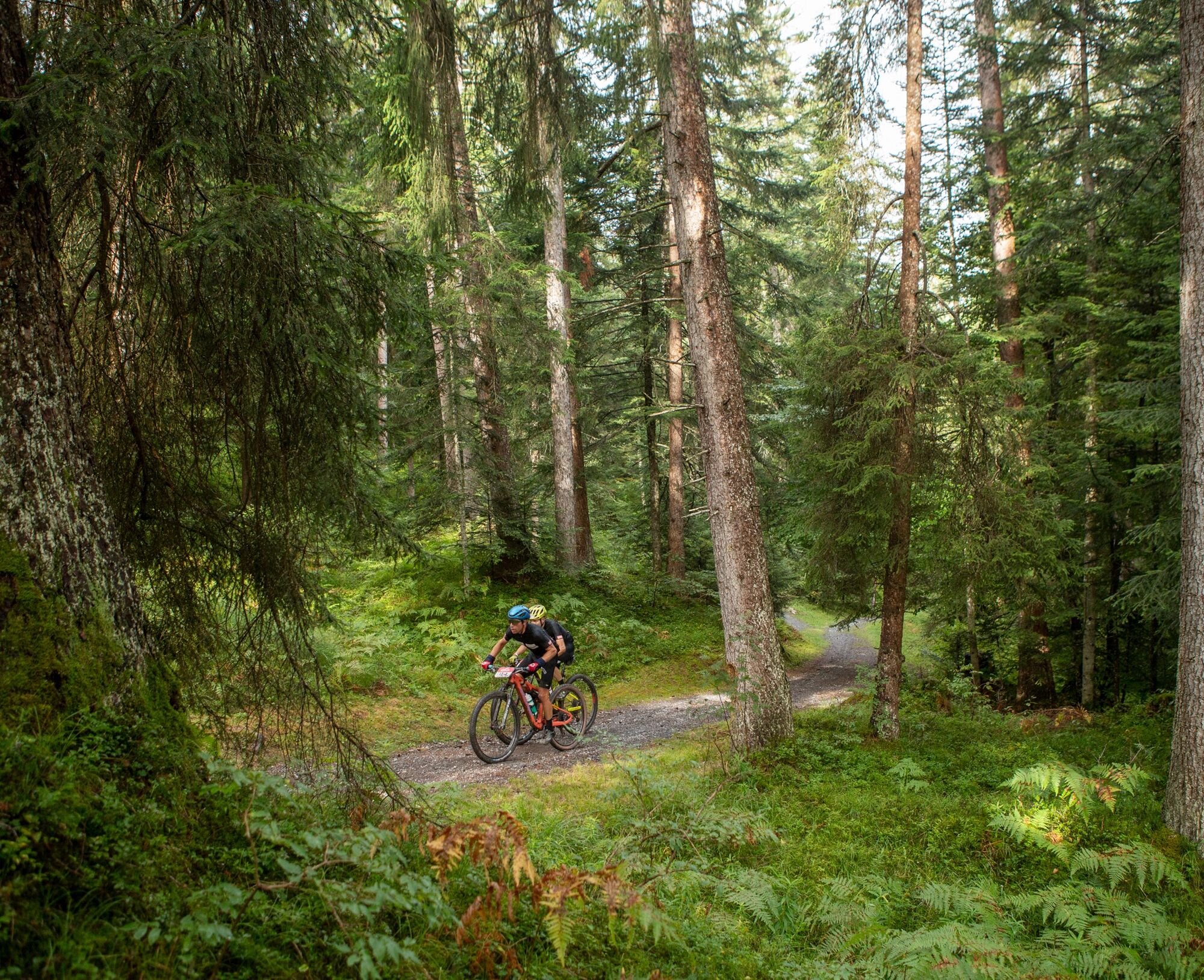
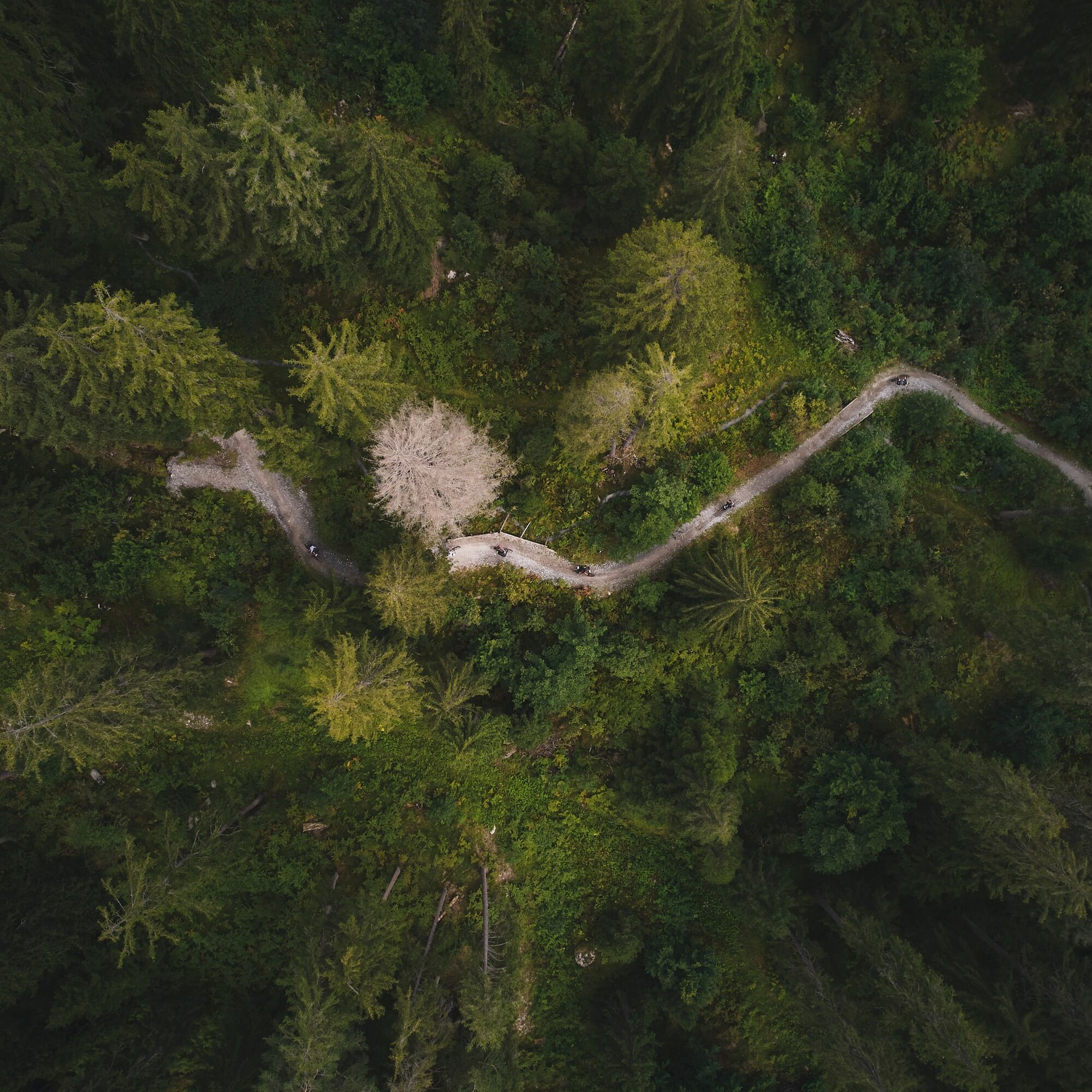
Leisurely, you first climb up from Laax Murschetg, the route leads you over the slopes of the Surselva to Falera and on to Ladir. Past old farmhouses, small chapels, and through the unique panorama of the Graubünden mountains. In Ruschein, you can refill your bottle with fresh spring water at a short stop at the village church before the descent to Ilanz. The wide trail is flowy and suitable for riders of all skill levels. Past the Dominican convent, it first goes three kilometers along the Rhine before the route climbs again. Through the Flimser Forest it goes steadily uphill towards Lake Cauma and back through Flims up to Alp Foppa and then to Startgels, the highest point of the route.
Here you enter the Runca Trail, down the nearly endless eight-kilometer flow trail with waves, doubles, and tables to Flims. This descent was the highlight of the week for the participants of the Swiss Epic.
The route is only digital and not signposted on site; it is suitable for beginners and advanced riders and also good to ride with an e-bike. Safe riding on alpine single trails is a prerequisite.



Laax Murschetg - Laax - Falera - Ilanz - Sagogn - Flimser Forest - Flims - Foppa - Startgels - Runca Trail - Laax Murschetg
Ano
Repair kit and first aid kit belong in the backpack.
Watch out for hikers! In the canton of Graubünden we share the paths.
Snow limit map
While there may already be snow at higher altitudes, the paths in the valley are still snow-free. Our interactive snow height map helps you plan your route. Here under www.flims.com/schneesituation at a glance, you can see where you already have to expect snow on the paths and trails and where you can still be on the way without getting cold feet.
By car on motorway A13 from Zurich to Chur, exit 18 Flims
Stop: Laax GR, mountain railways
By post bus from Chur or the public Flims Laax Falera Shuttle.
Timetable
www.sbb.ch
Parking in the Laax mountain railways car park
S3
App
Inside Laax - with all routes and information
Bike guide
Available free of charge at the guest information offices in Flims, Laax and Falera
Highlights: In advance Glacier & Tectonics Arena Sardona & Lake Cauma
Webové kamery z prohlídky

Oblíbené prohlídky v okolí
-
4.9
Rheinschlucht: From Ilanz to Versam into the heart of the Rheinschlucht
středníTuristika 11.4 km -
4.4
4-lake hike: Caumasee - Crestasee - Felsbach Gorge
heavyTuristika 13.3 km -
4.8
Rhine Gorge Hike: Senda Ruinaulta (659)
světloTuristika 9.39 km -
4.8
Mountain hike to the Strudeltöpfe on Alp Mora: Bargis-Trin
heavyTuristika 18 km -
4.7
The Water Trail: Trutg dil Flem 764
heavyTematická stezka 8.56 km -
5.0
Lower Segnesboden: Nagens Sura - Lower Segnesboden - Segnes hut - Alp Nagens
středníTuristika 6.66 km -
5.0
Caumasee tour: Flims - Caumasee - Conn - Flims
světloTuristika 7.94 km -
4.5
St. Martin - Alp Sardona - St. Martin
středníTuristika 14.2 km -
4.3
Historic Pinut via ferrata
středníVia ferrata 5.82 km -
3.5
Tour zum Martinsloch
heavyTuristika 3.82 km

Pěší turistika a stopování


Nenechte si ujít nabídky a inspiraci pro vaši příští dovolenou
Vaše e-mailová adresa byl přidán do poštovního seznamu.





