




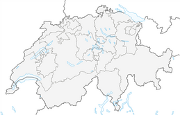


72 Prättigau high route: in 3 days from Klosters to Fanas (3 stages)
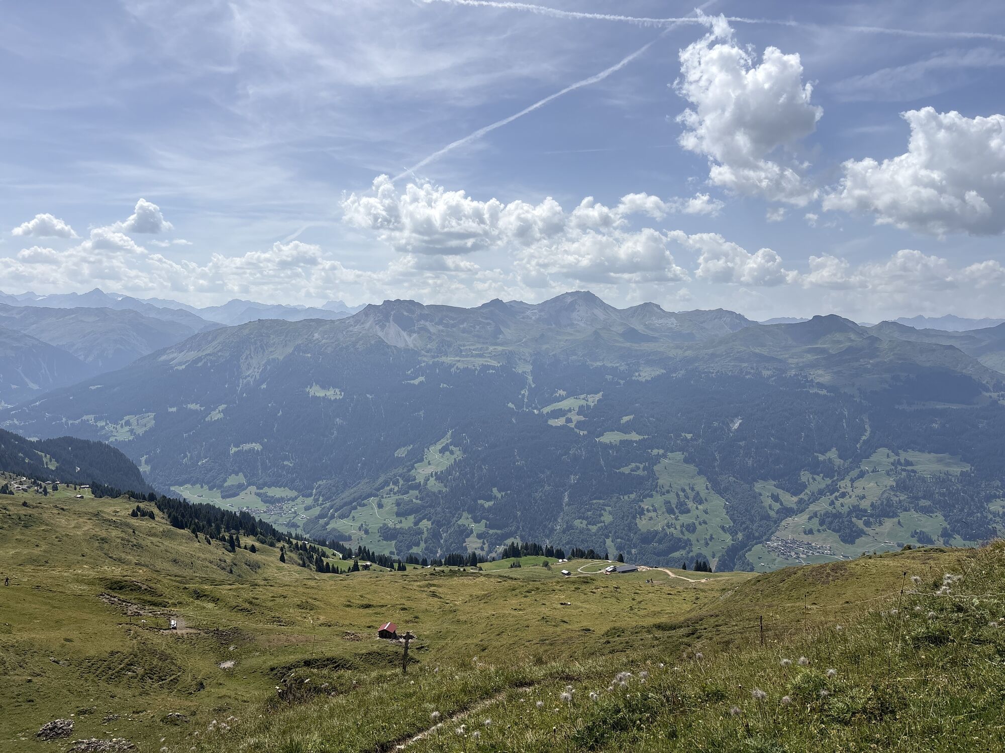
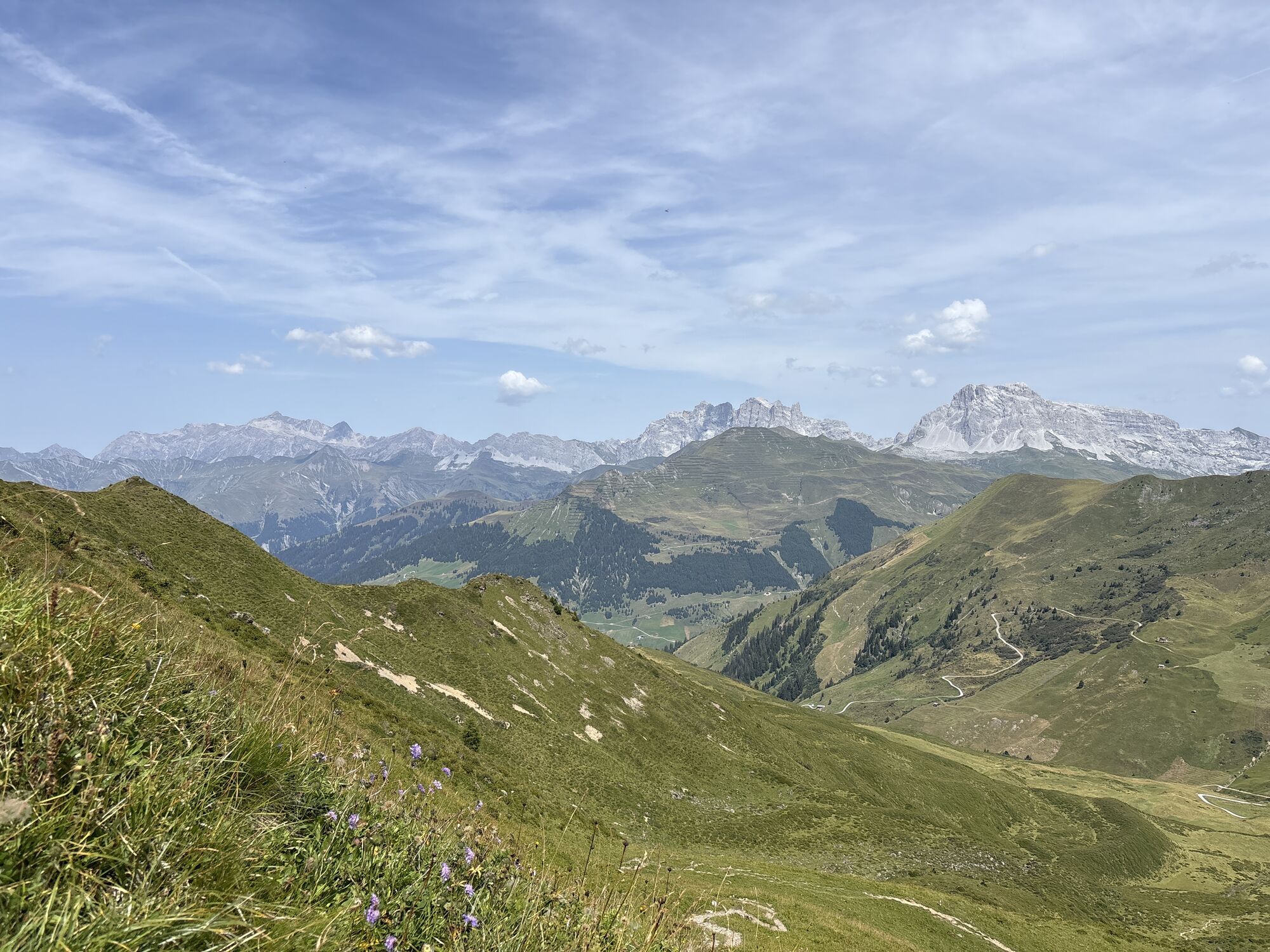
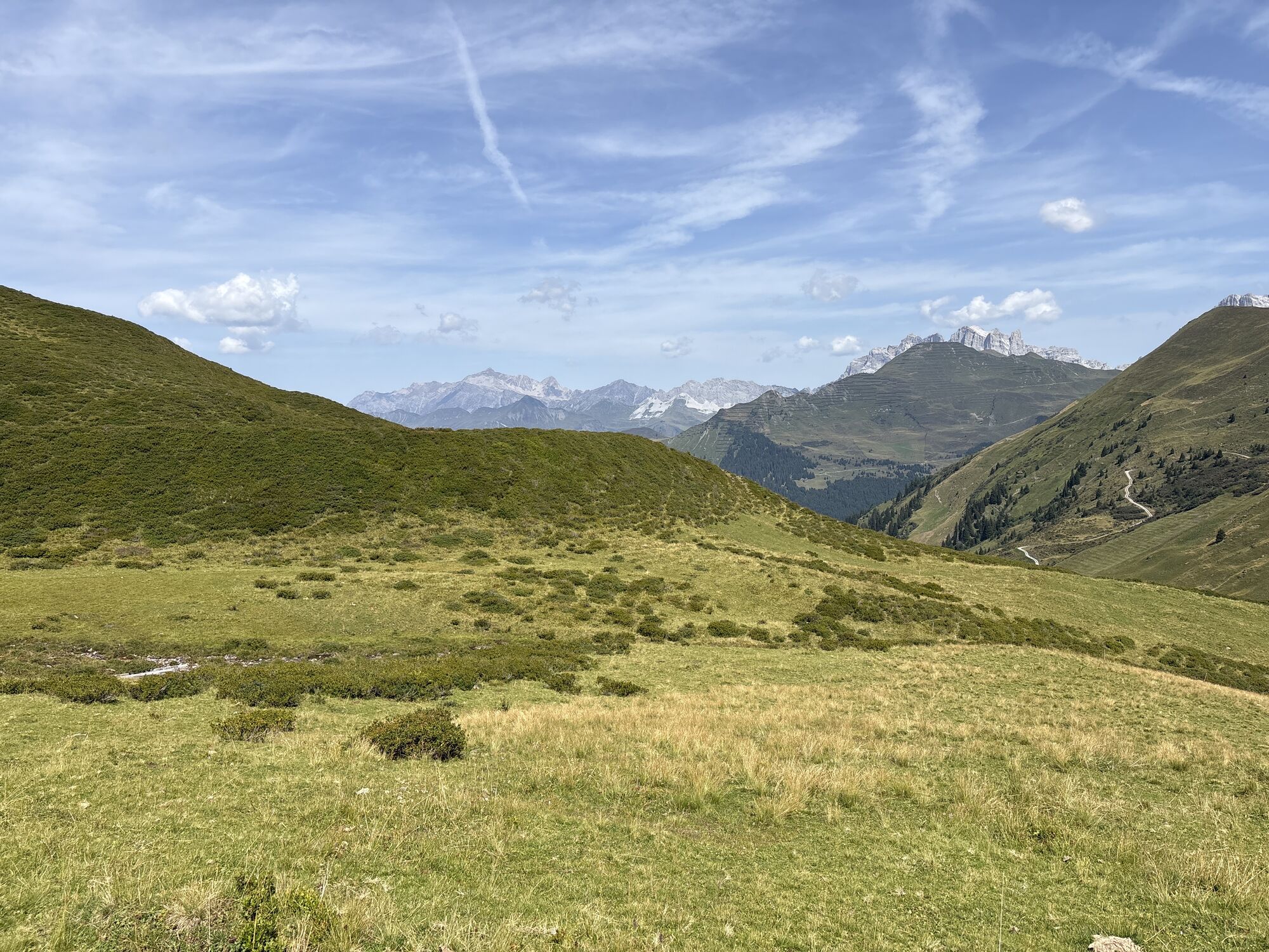
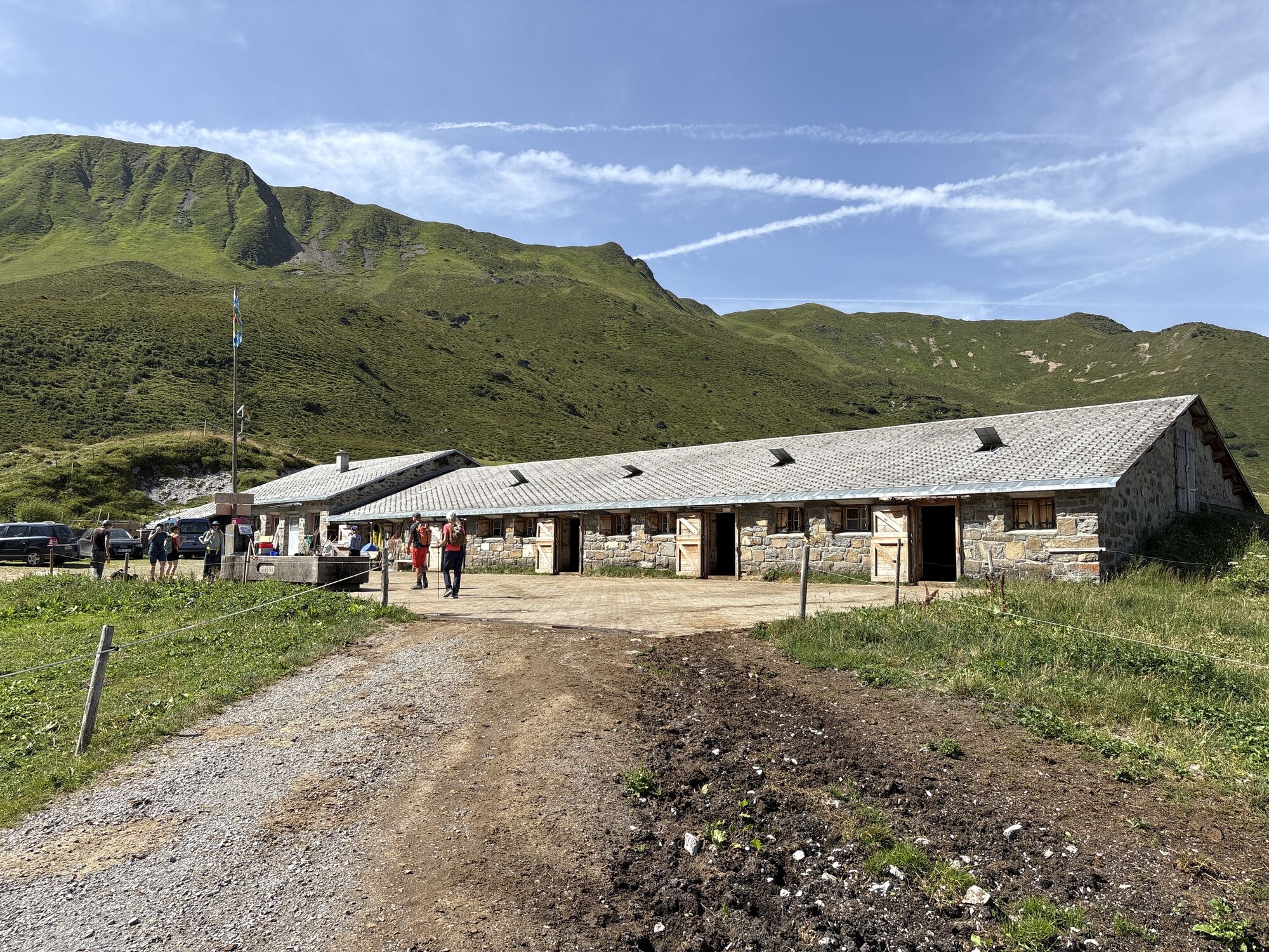
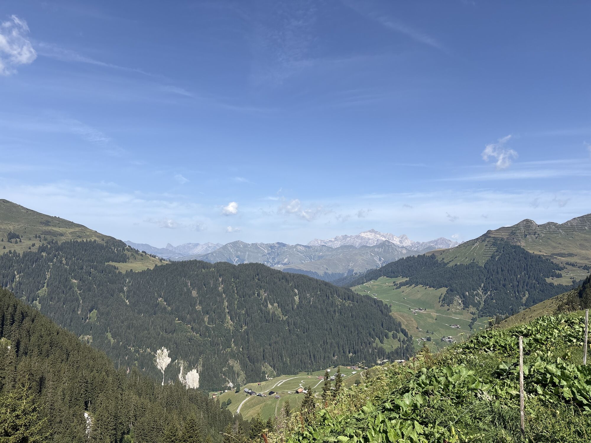
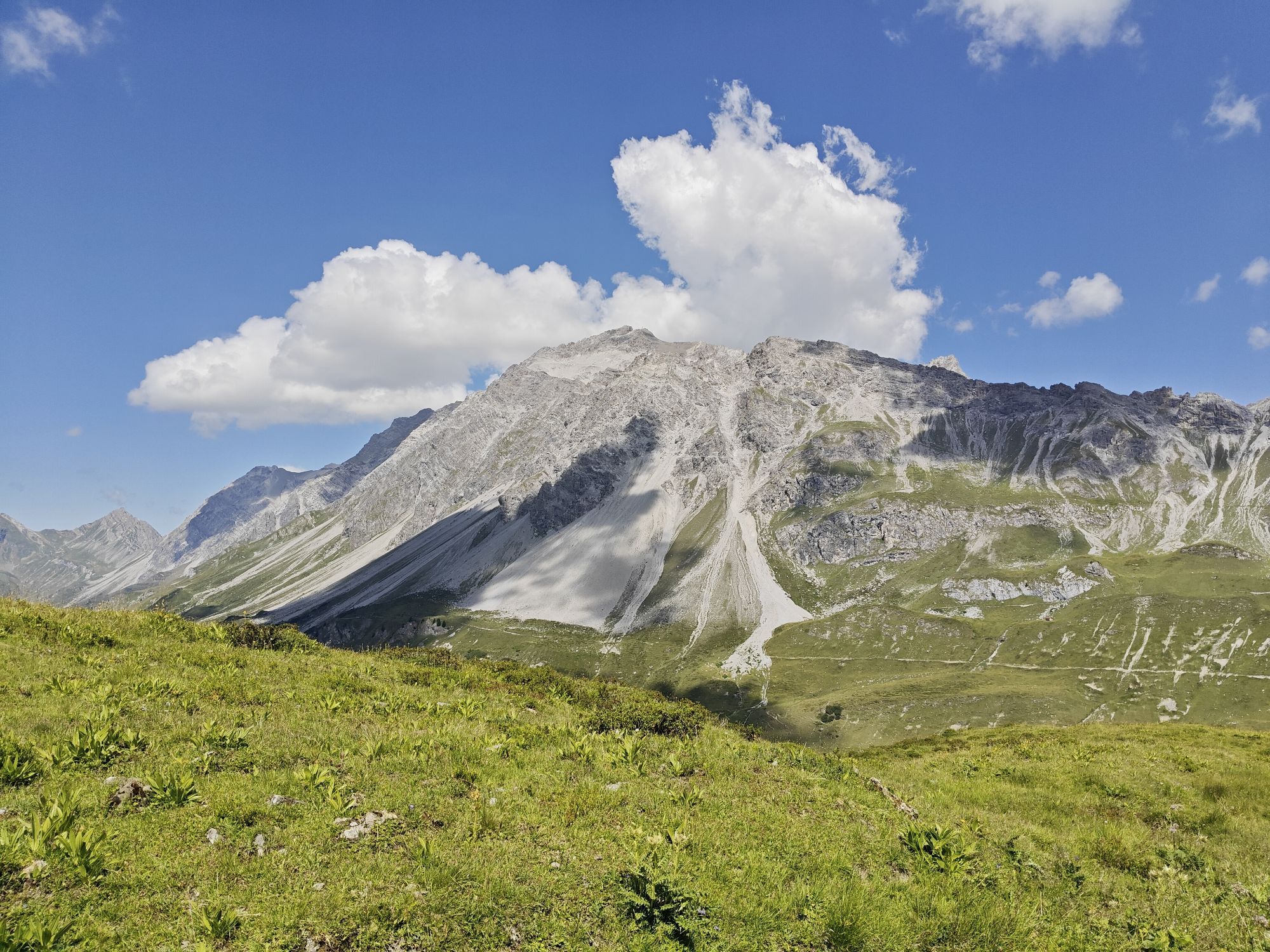
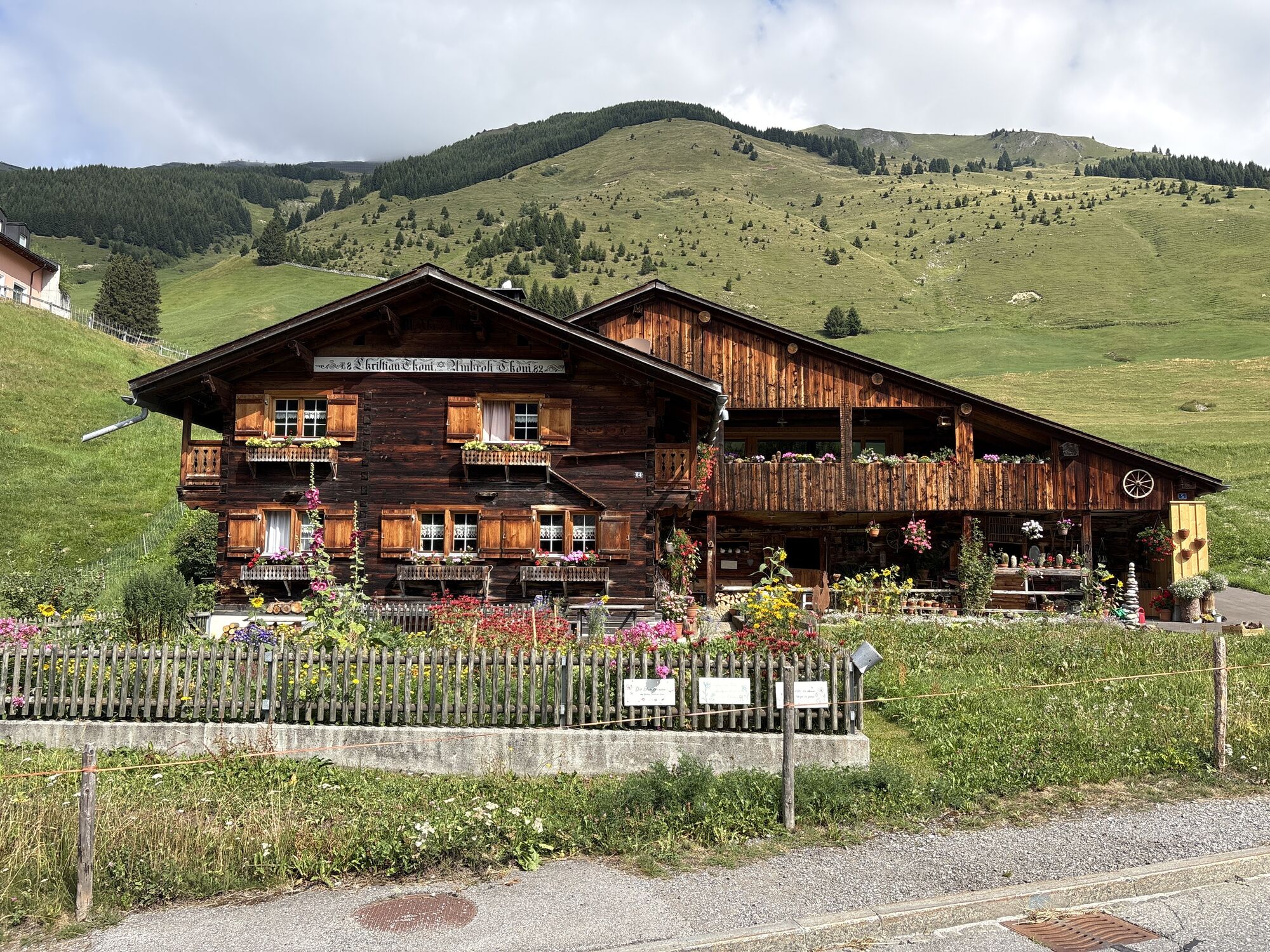
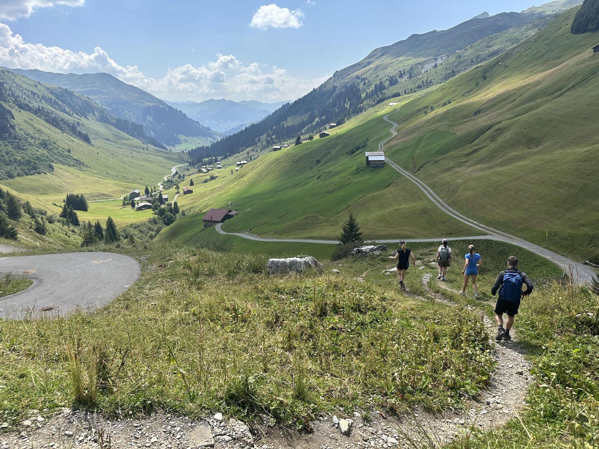
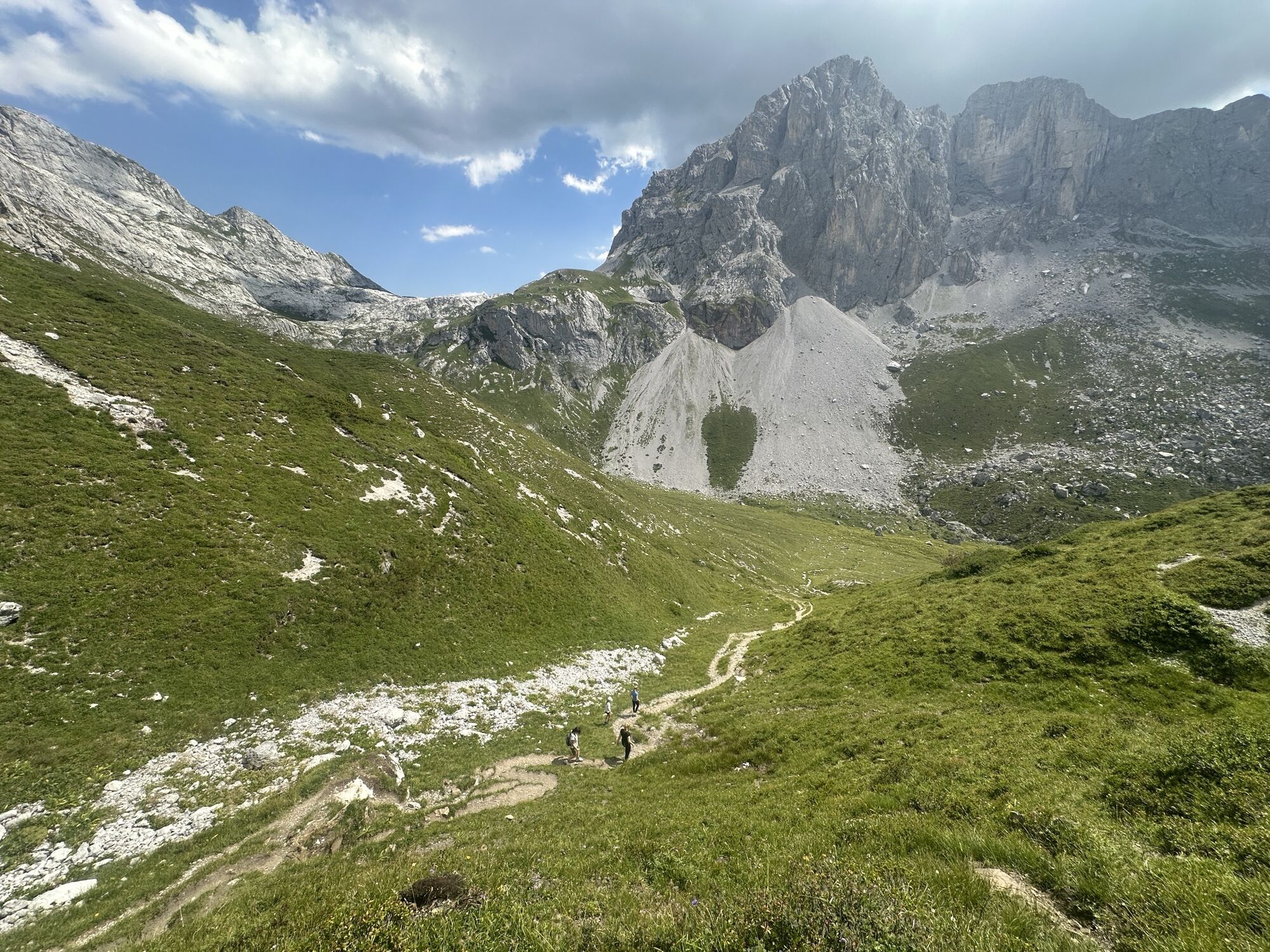
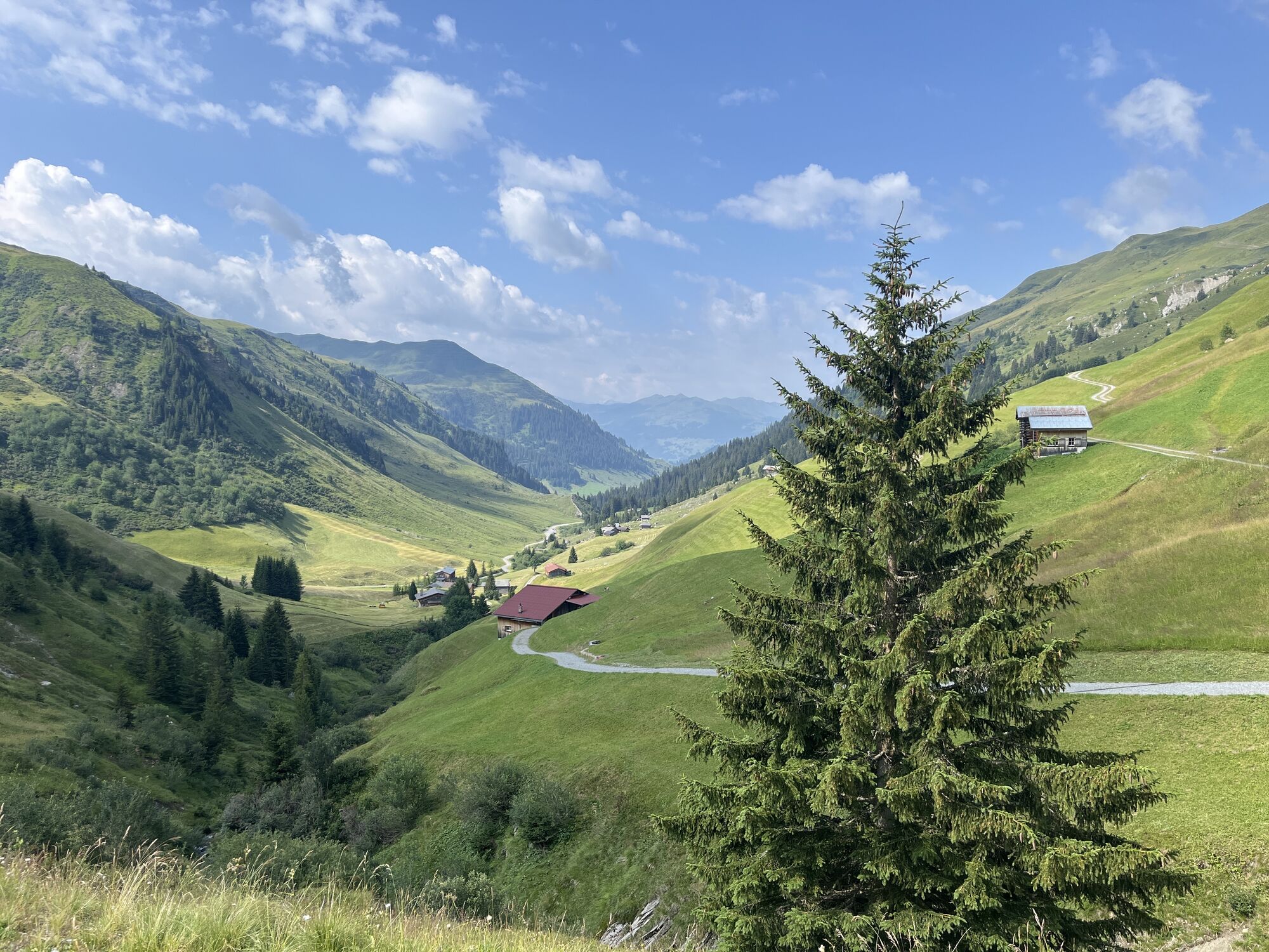
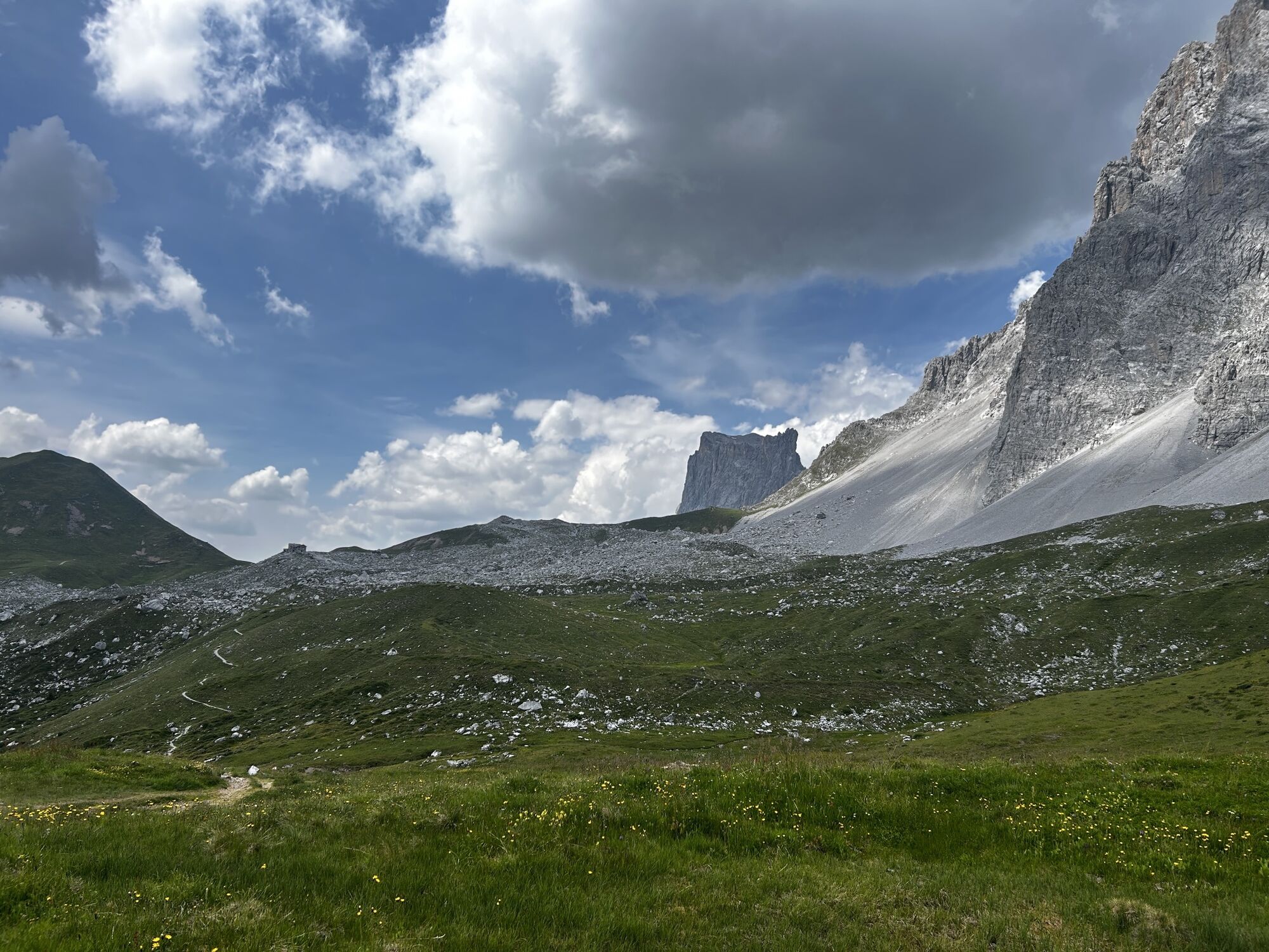
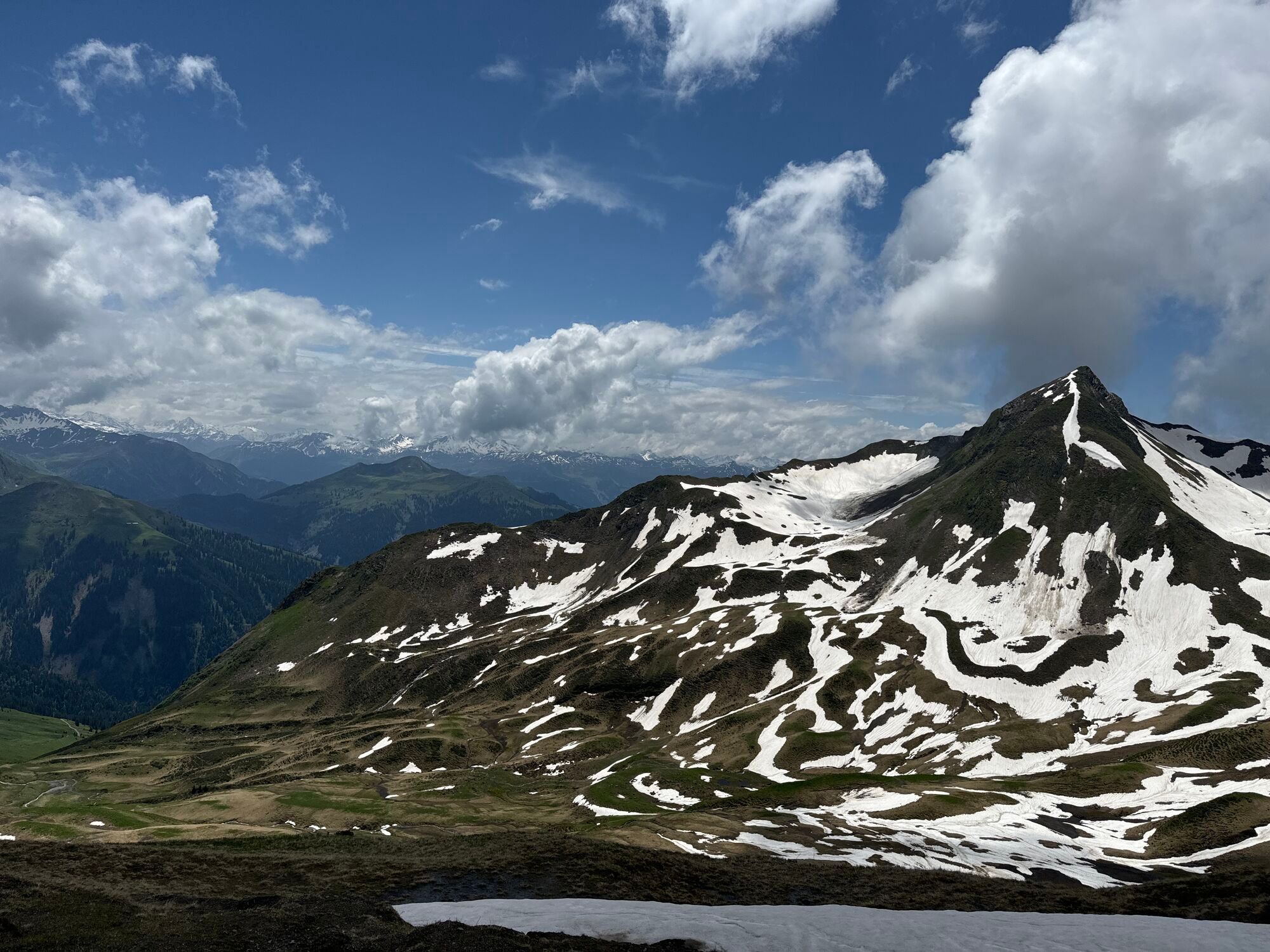
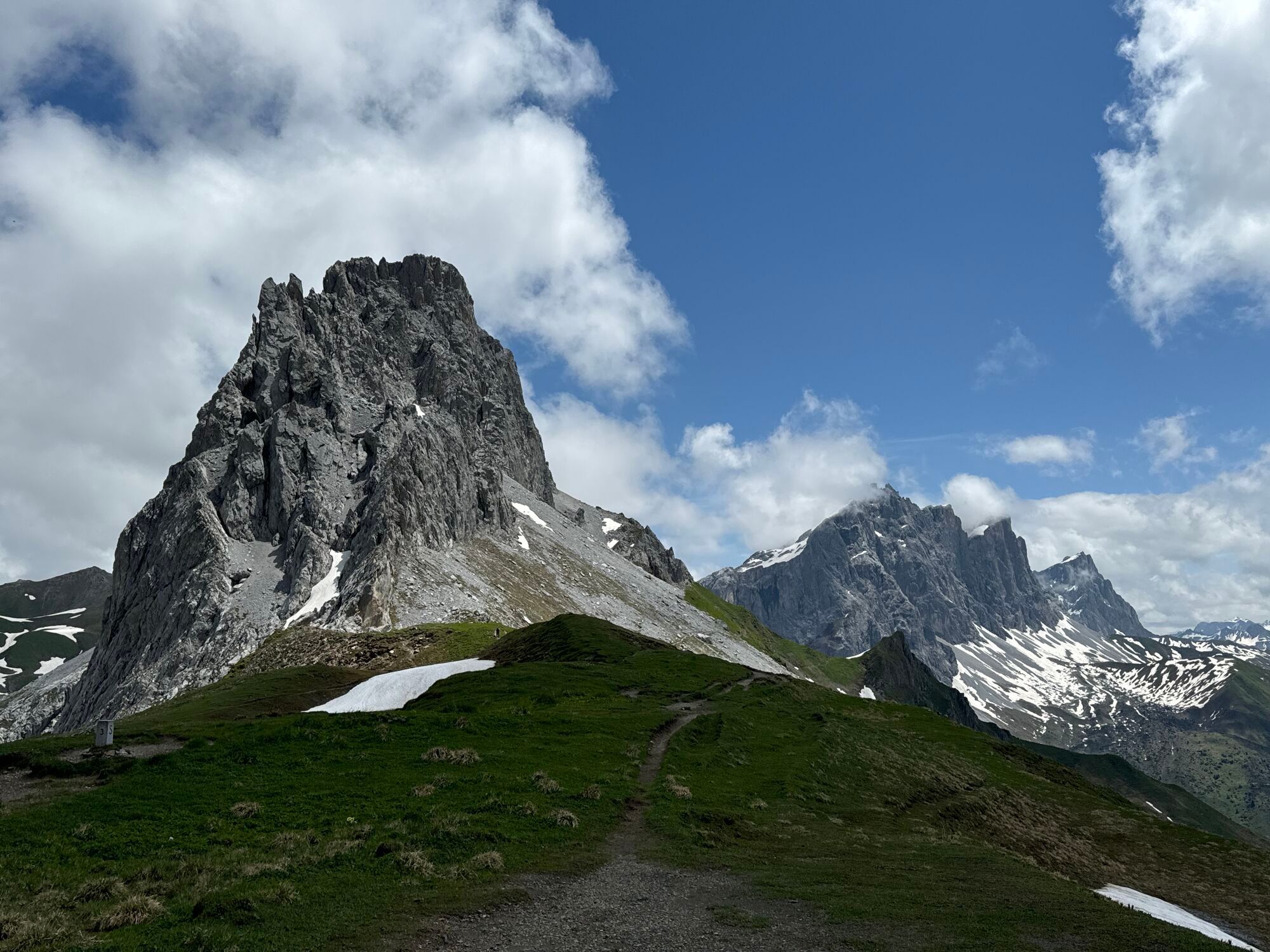
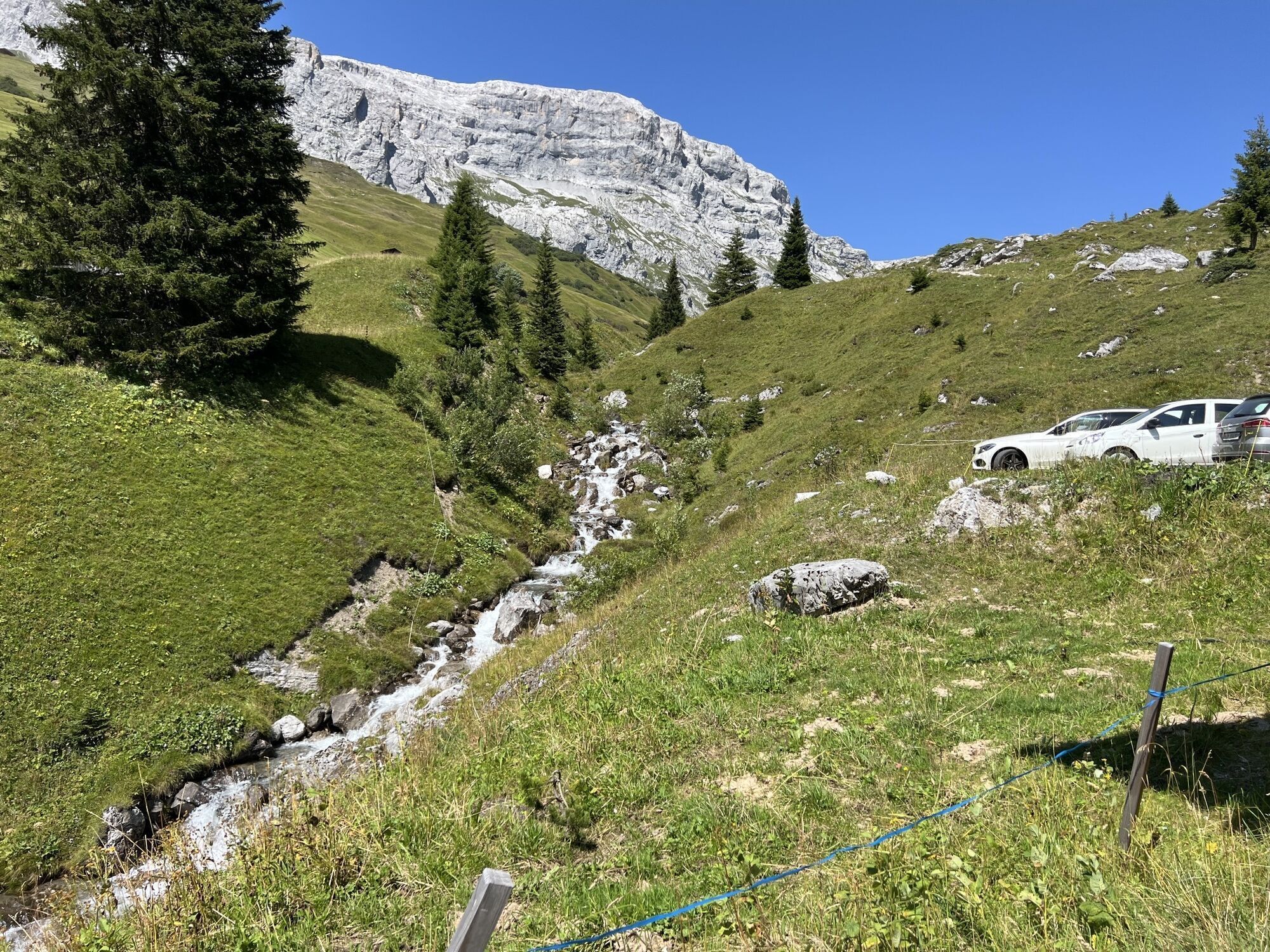
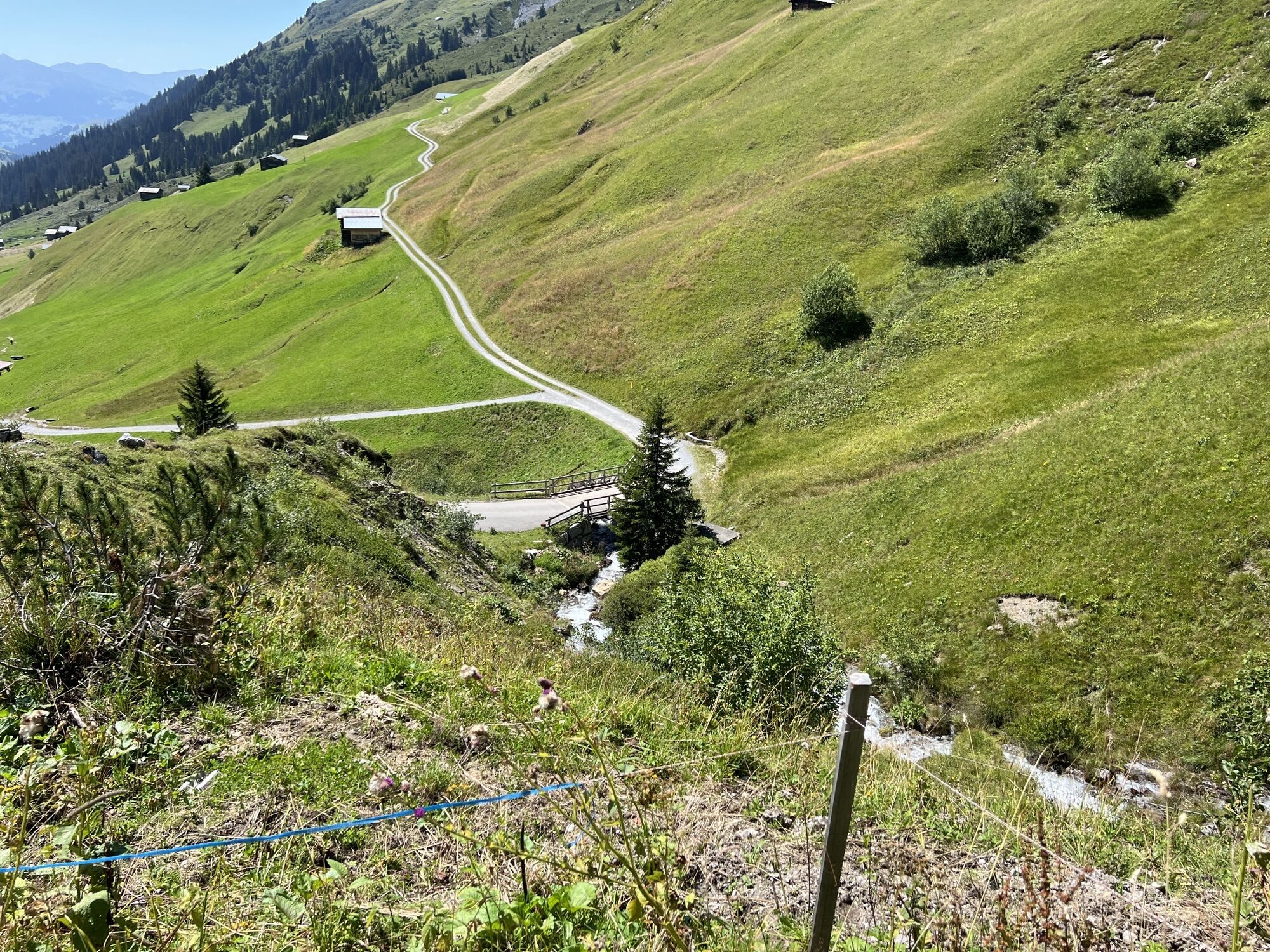
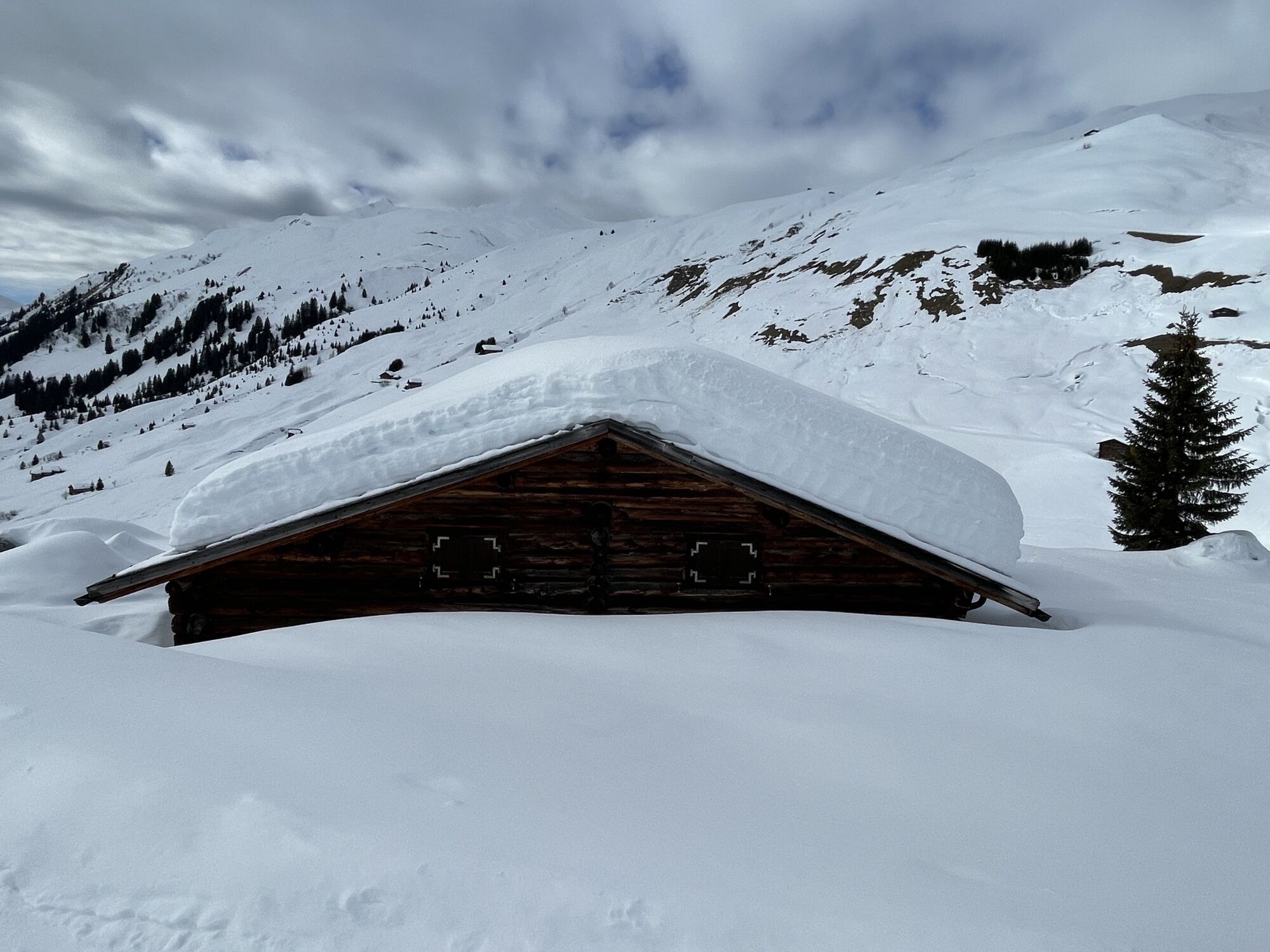
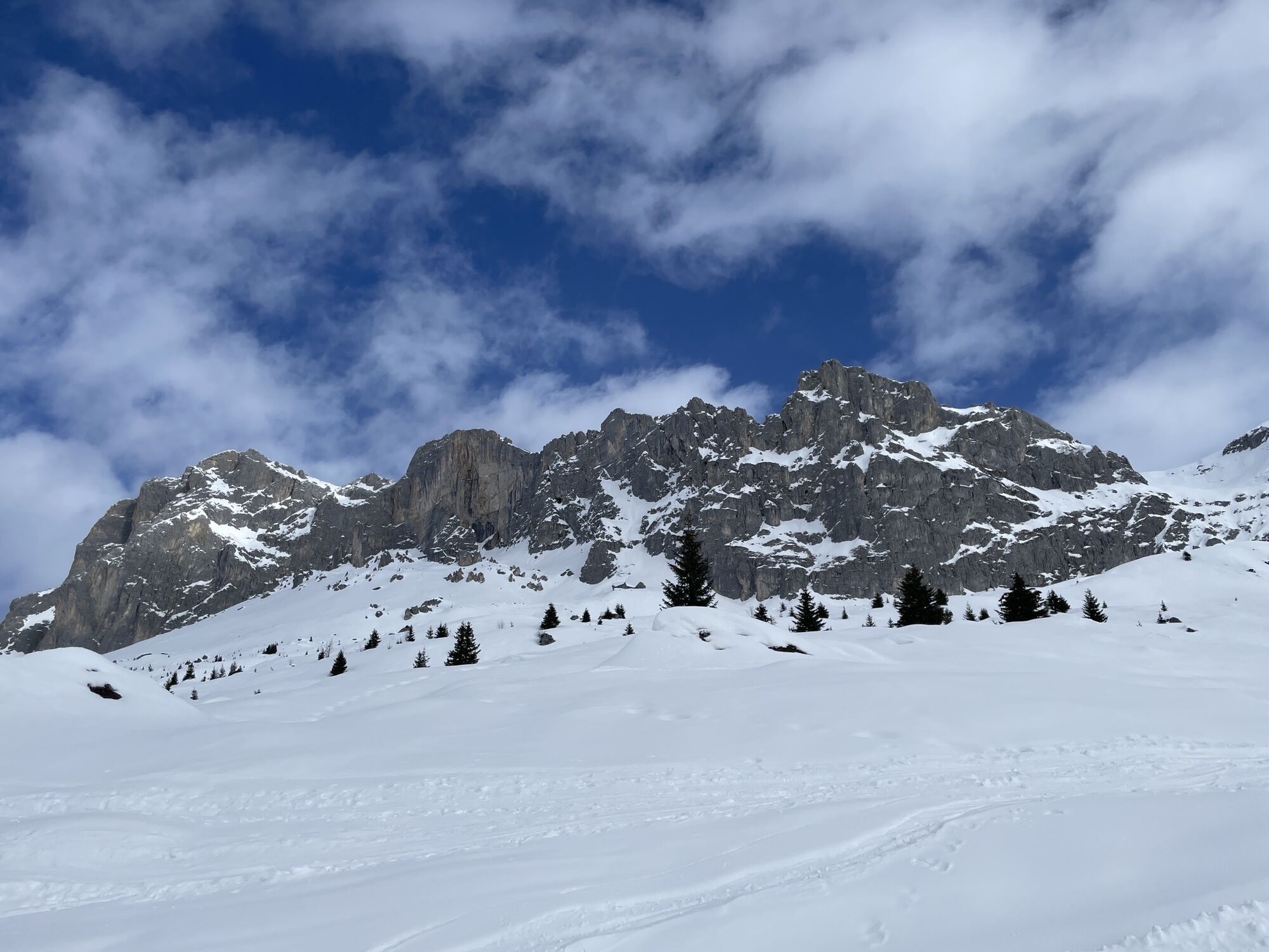
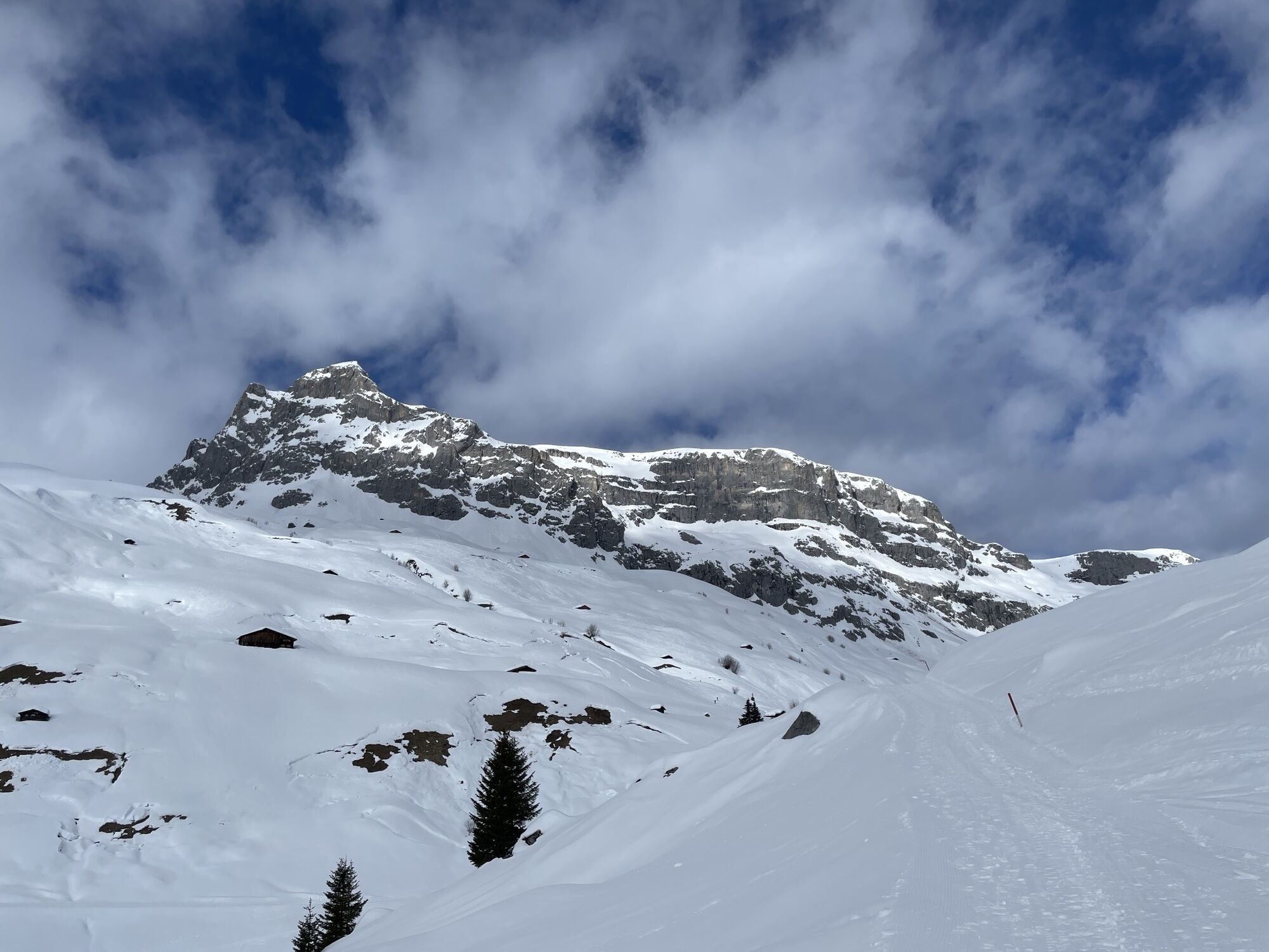
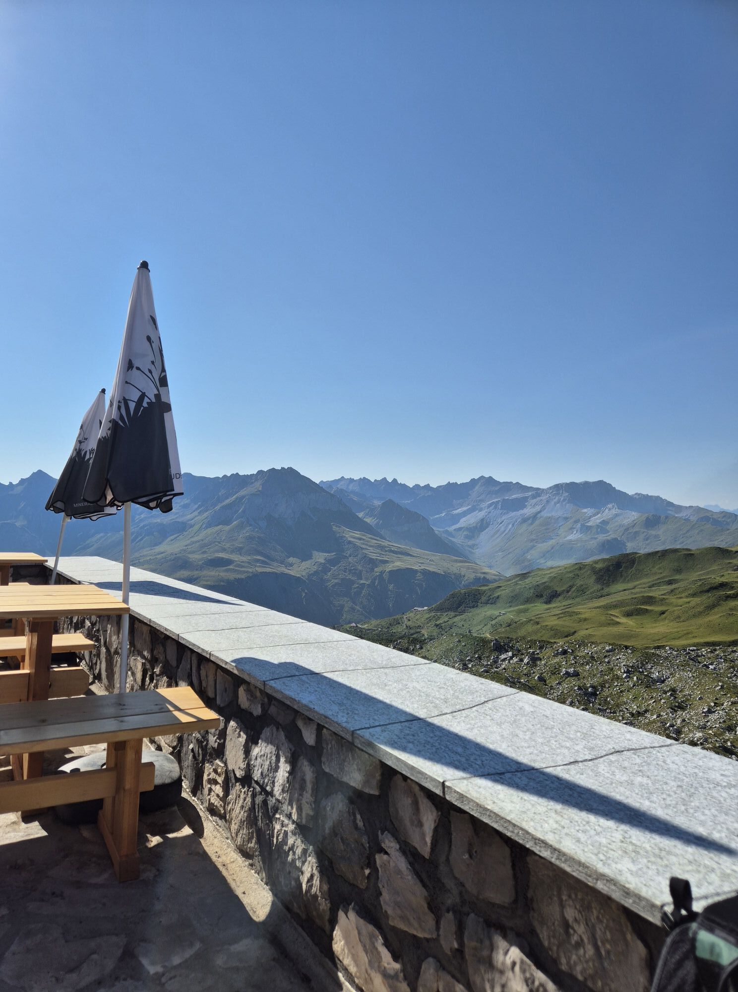
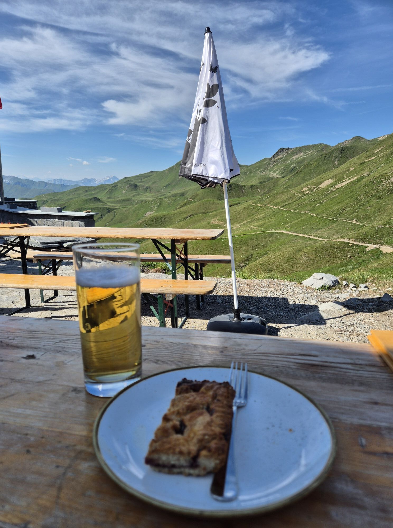
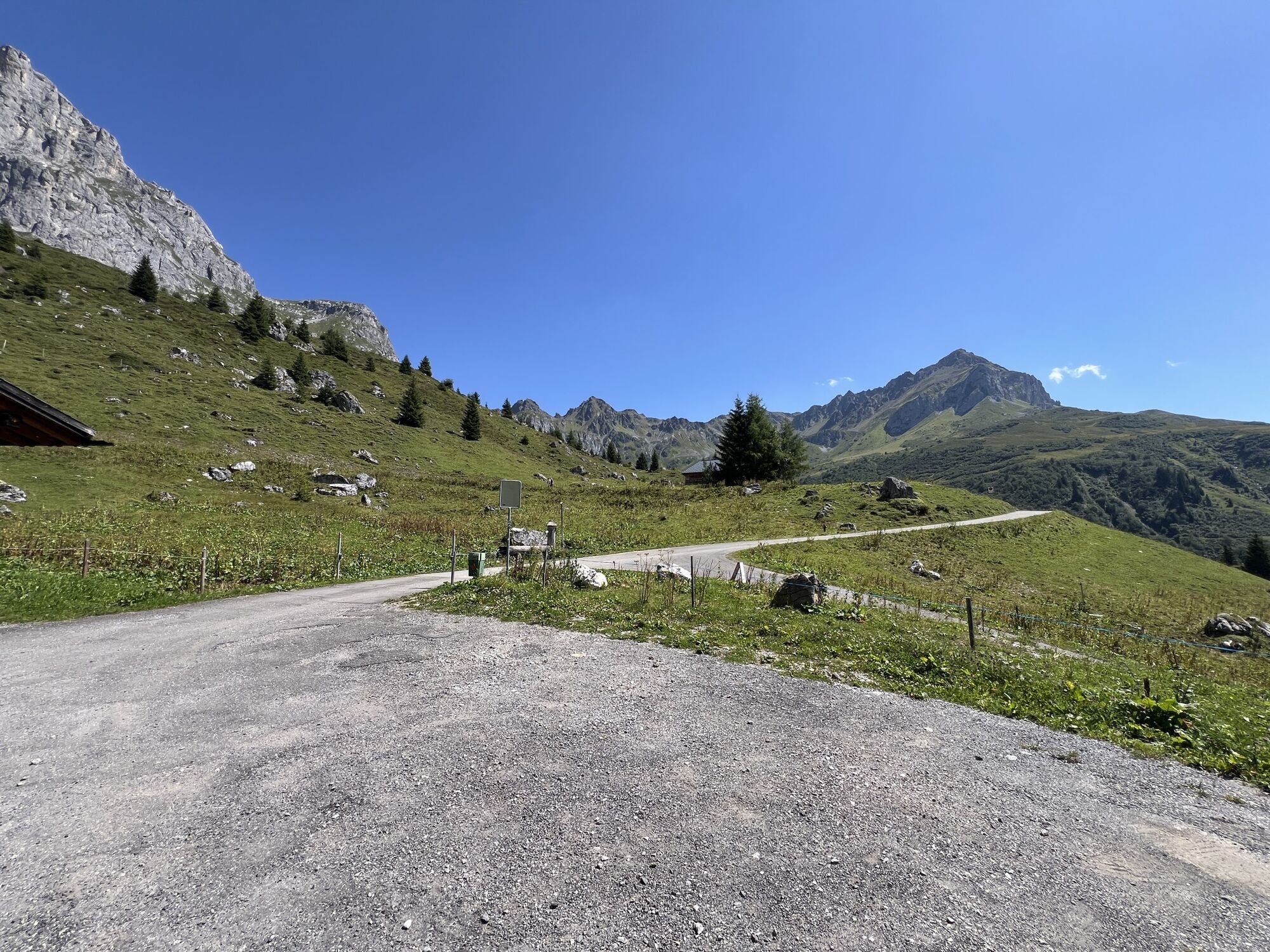
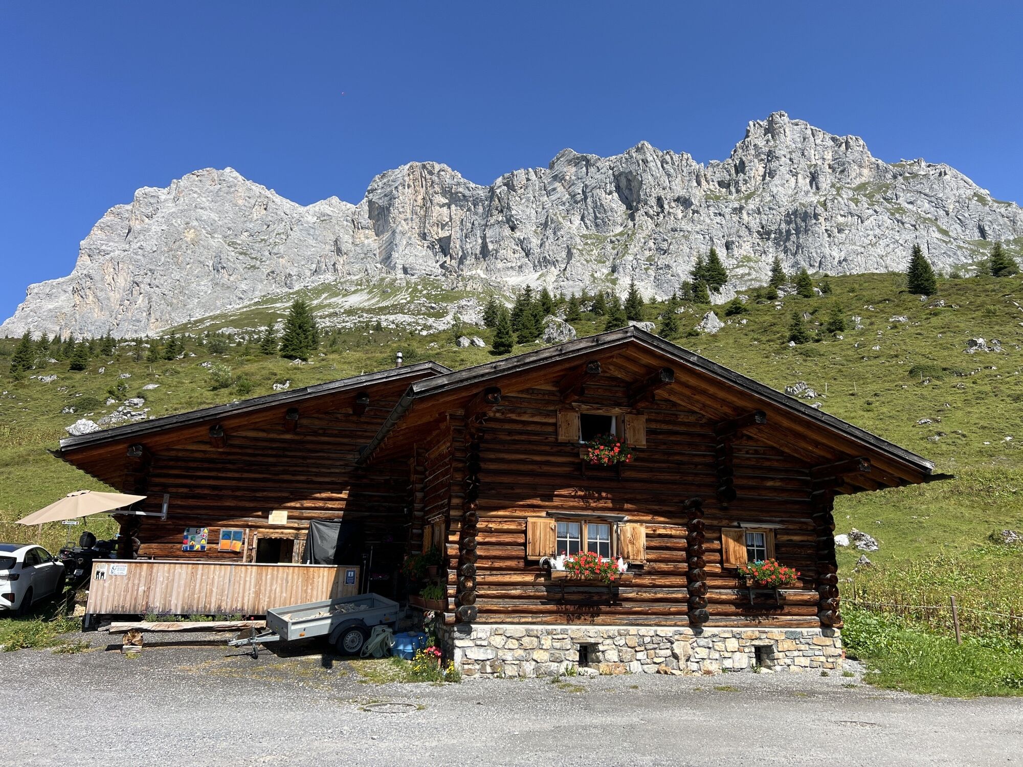
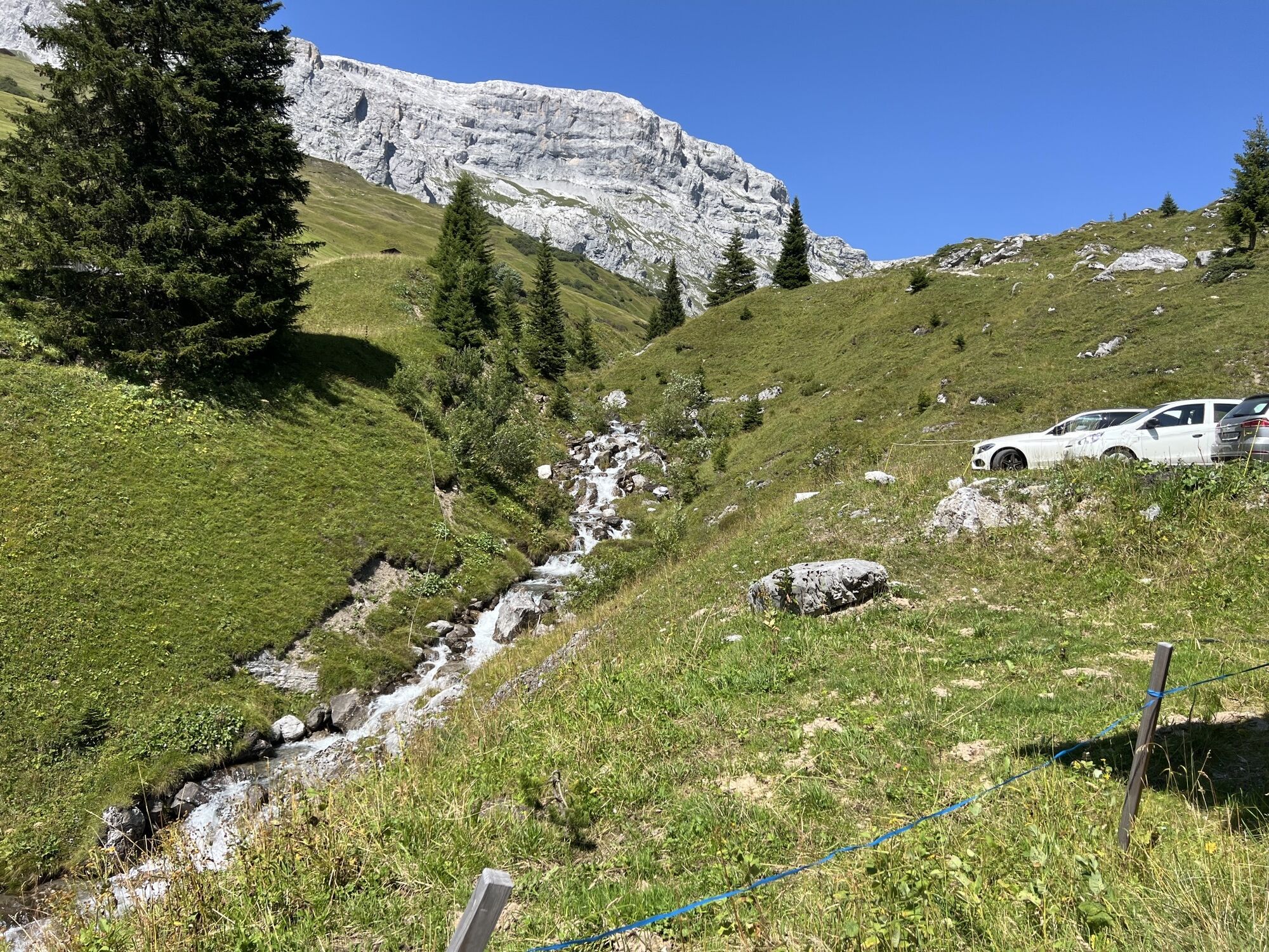
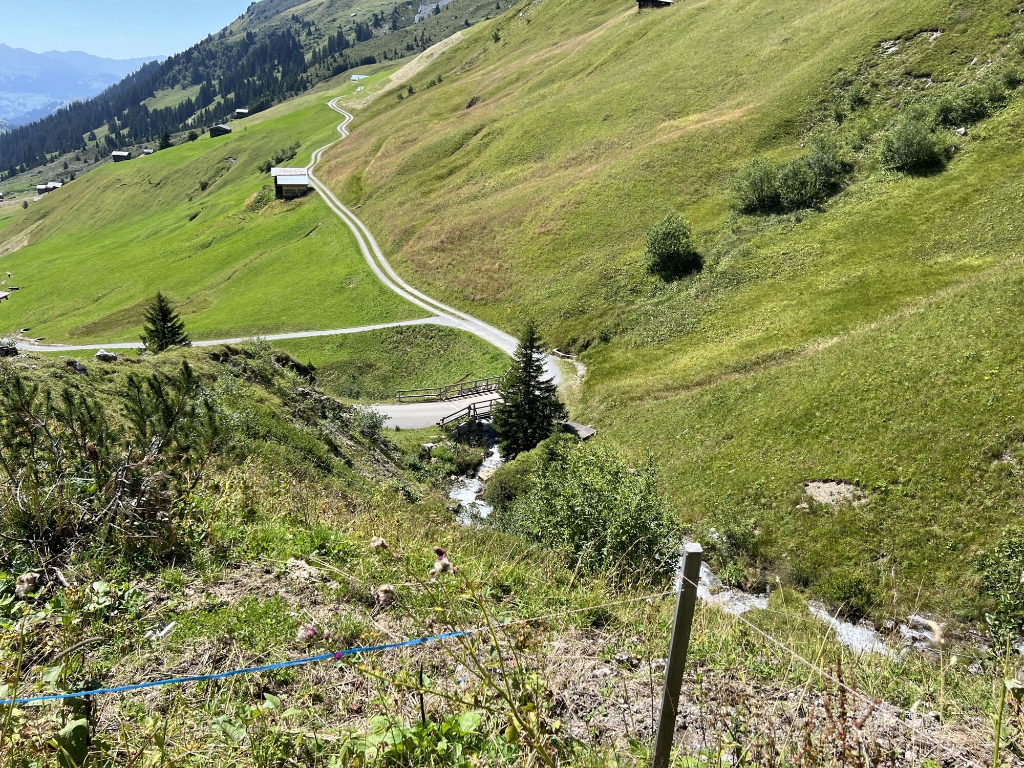
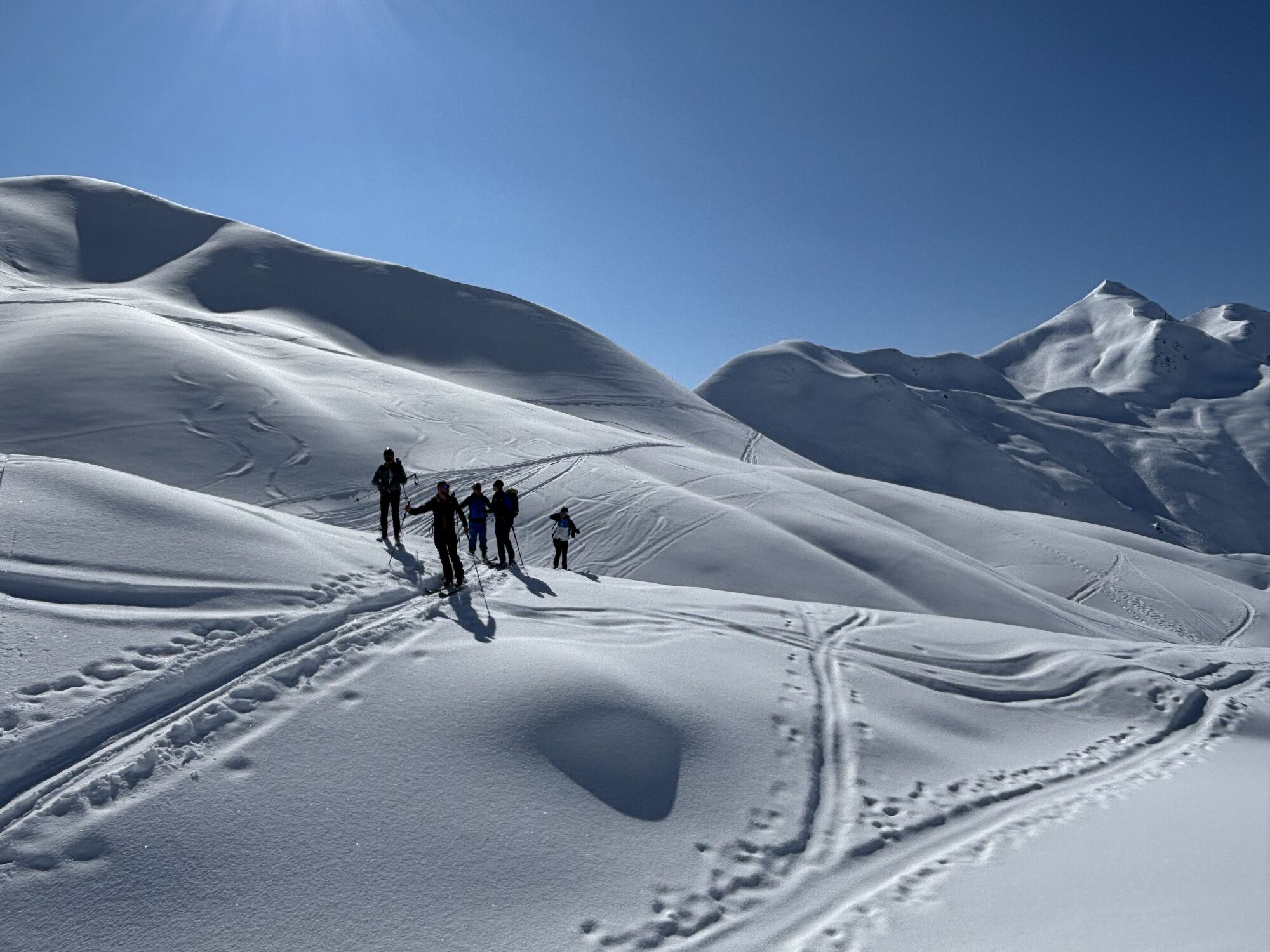
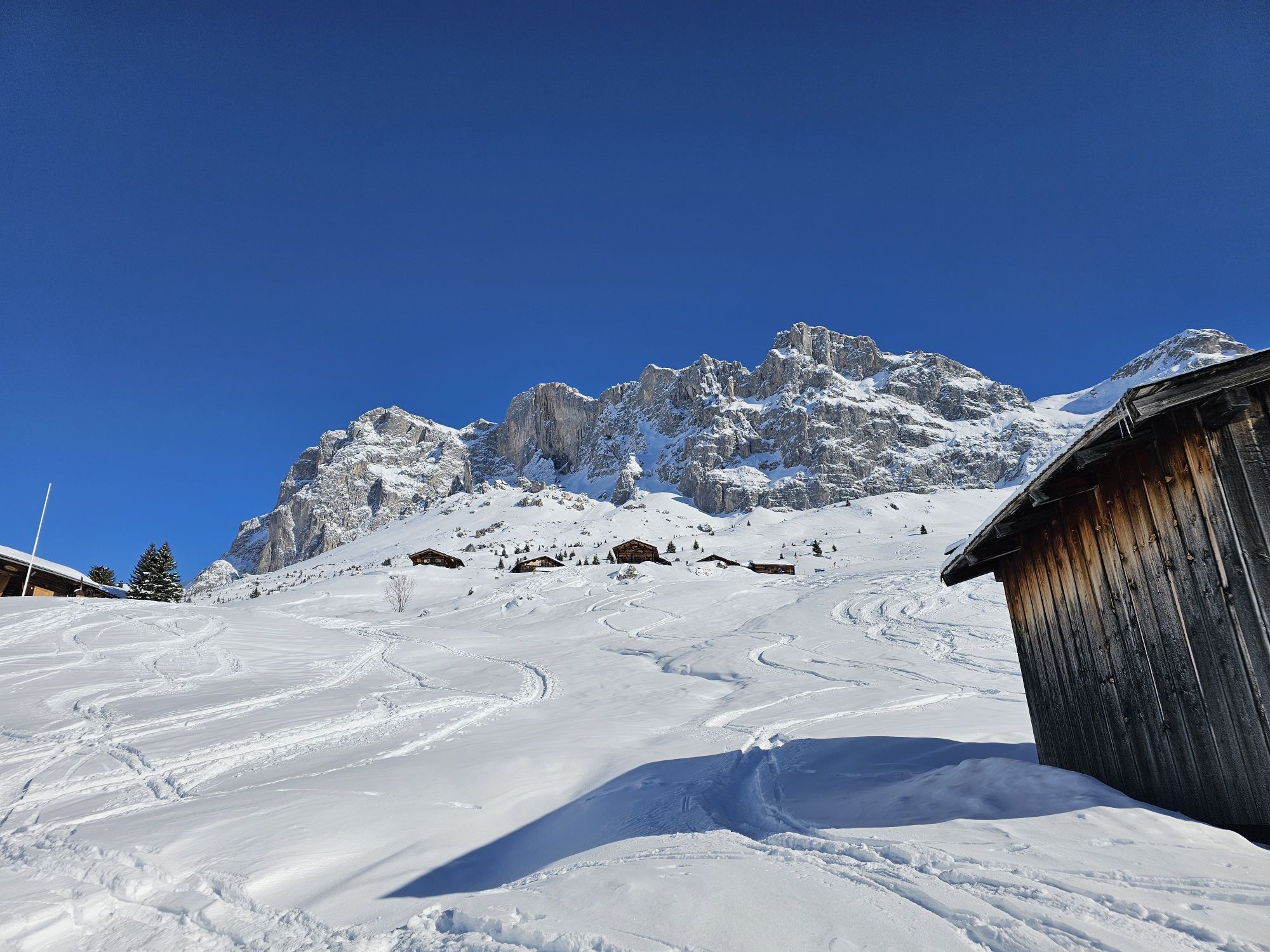
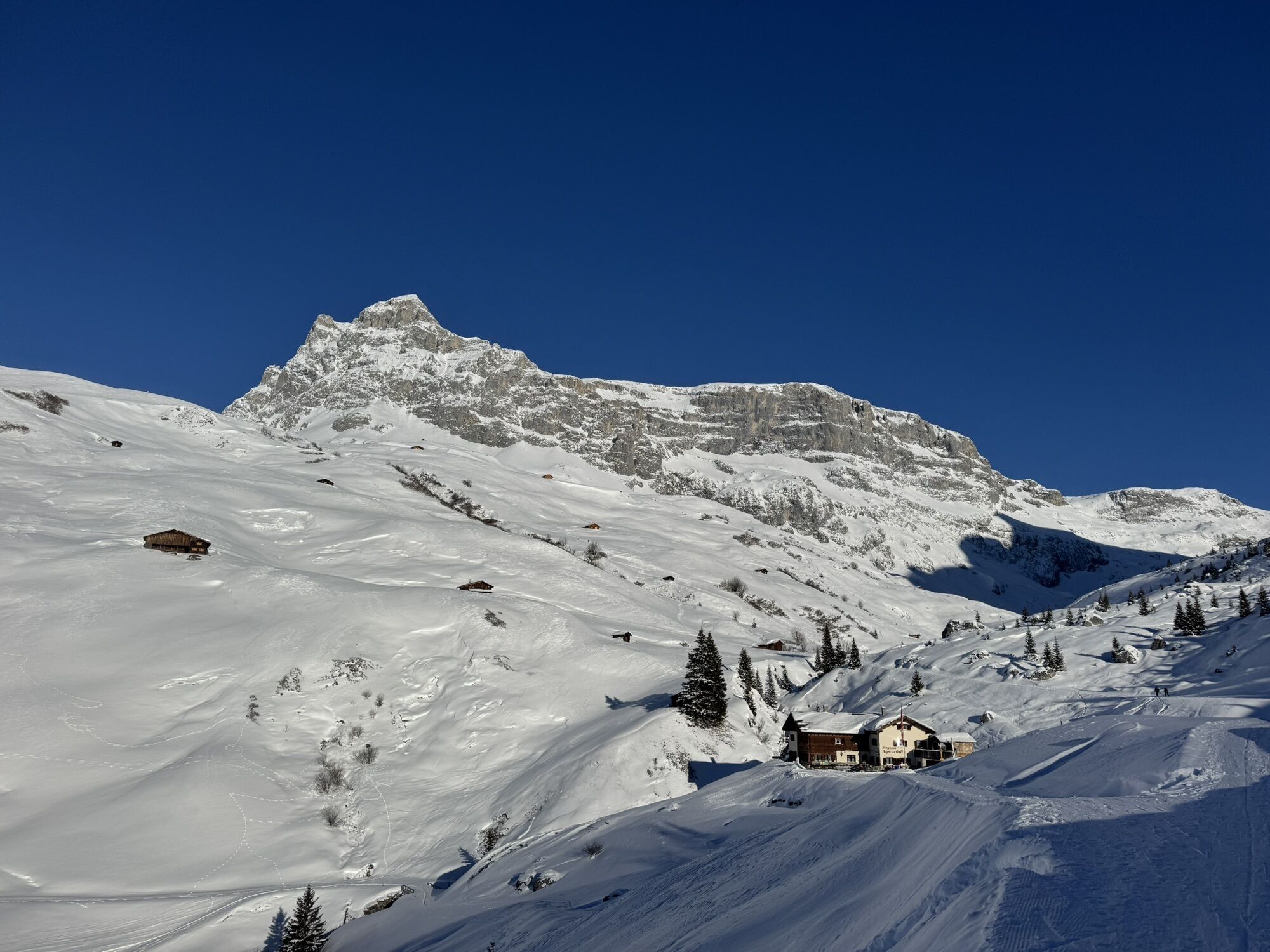
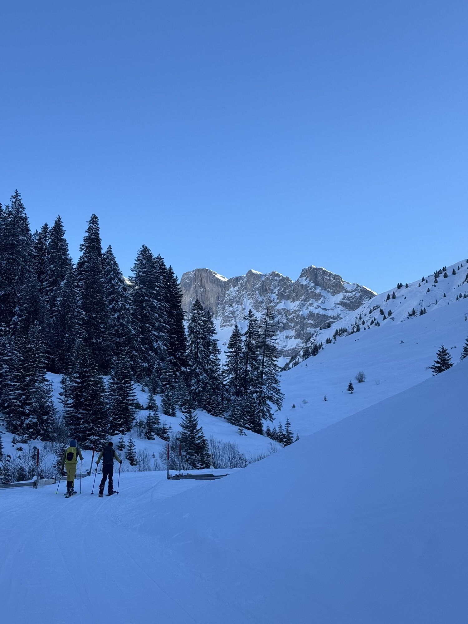
The well-marked path leads from Klosters over lush alpine pastures to St. Antönien, where the slogan "behind the moon, left..." is advertised with a wink. Along the way, you encounter grazing cows enjoying...
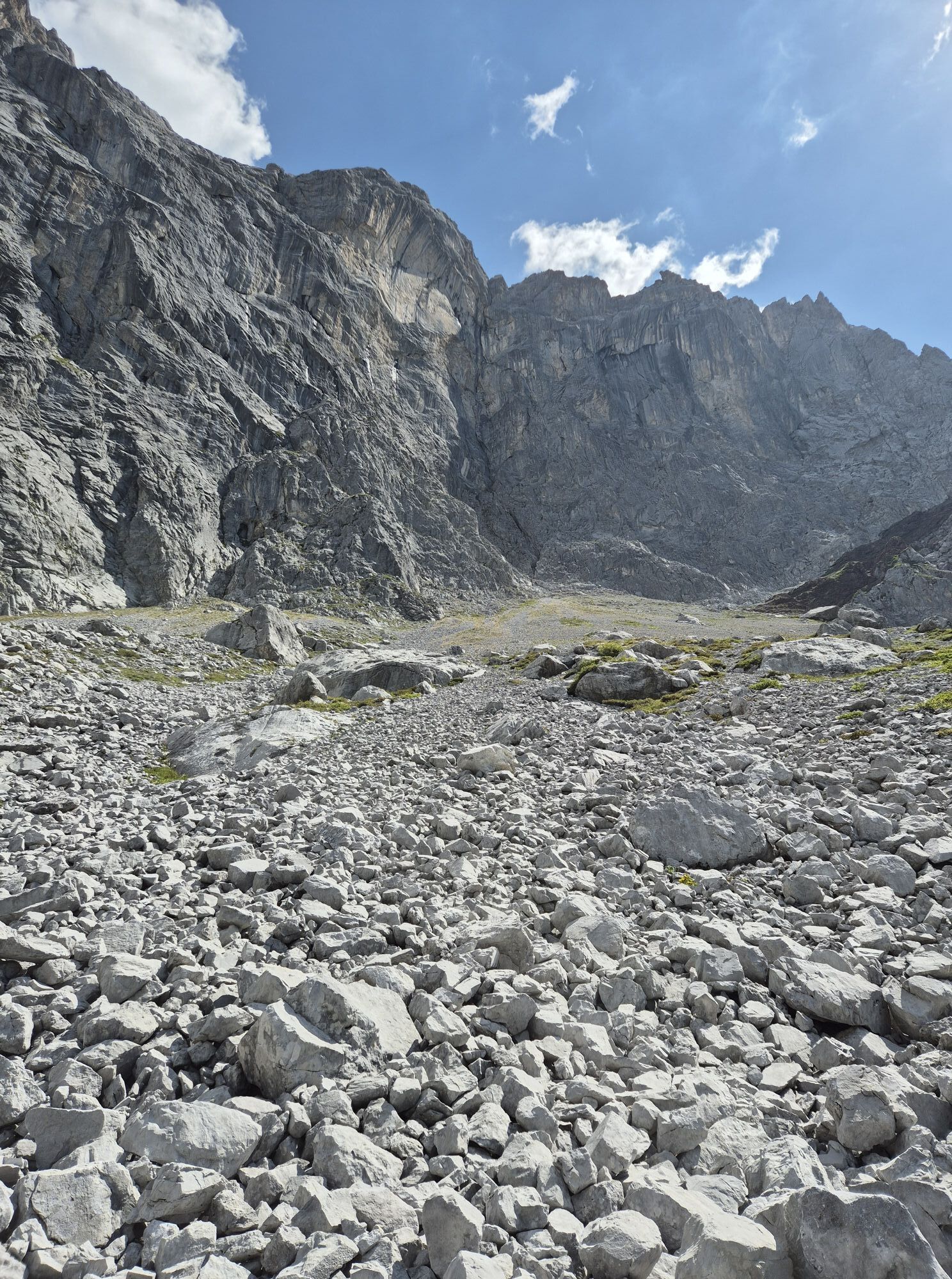
The well-marked path leads from Klosters over lush alpine pastures to St. Antönien, where the slogan "behind the moon, left..." is advertised with a wink. Along the way, you encounter grazing cows enjoying the fine alpine herbs. Below the up to 500 meter high limestone walls, the well-signposted path continues along the national border. At Gafalljoch, you leave the high route and branch off towards Sassauna, where the last altitude meters are "saved" with the Fanas cable car.
The route can be booked as a package and is also suitable as a family route. And with some additional summit ascents, the hike also brings a lasting smile to ambitious mountain hikers' faces.
Stages:
Stage 1: Klosters - St. Antönien Stage 2: St. Antönien - Carschina hut SAC Stage 3: Carschina hut - Fanas cable car
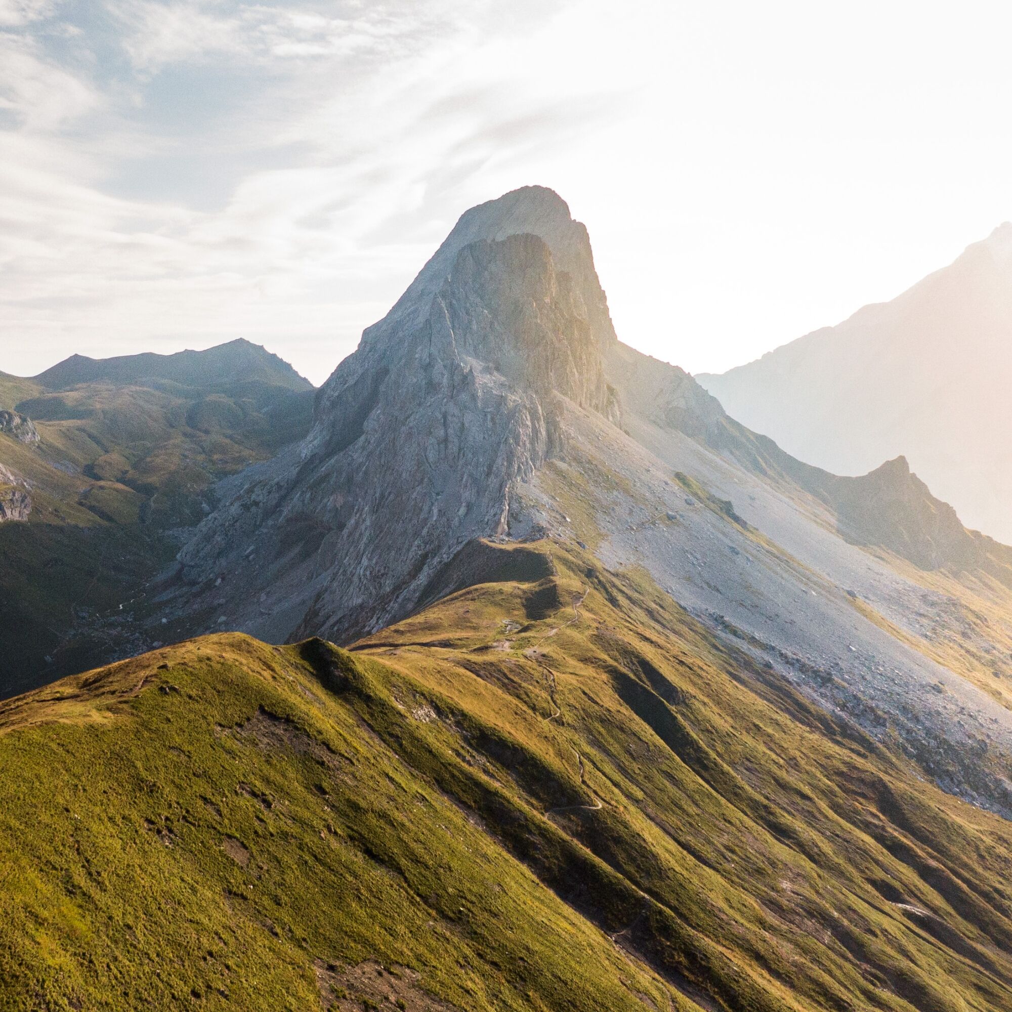
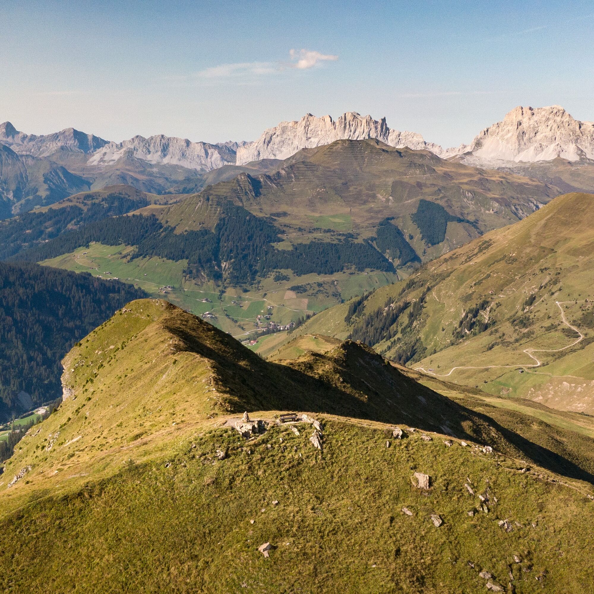
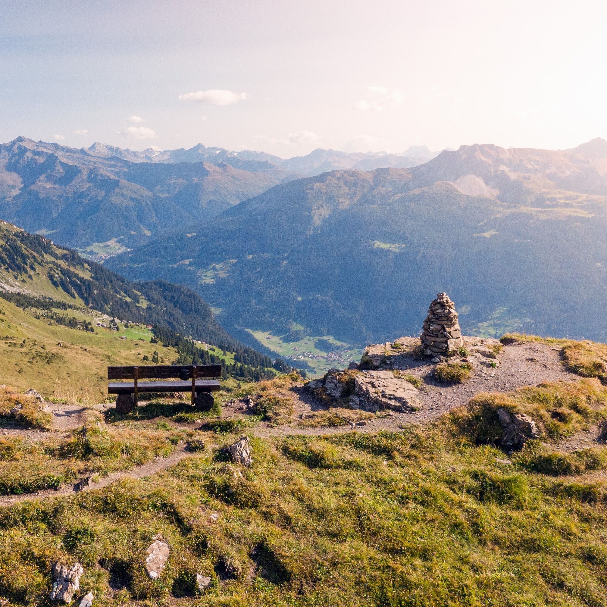

On the 1st day, the Madrisabahn takes you from Klosters village to the Saaser Alp (1887 m above sea level), from where the hike leads over the Mässplatten and the Aschariner Alp (2025 m above sea level) to St. Antönien (1420 m above sea level).
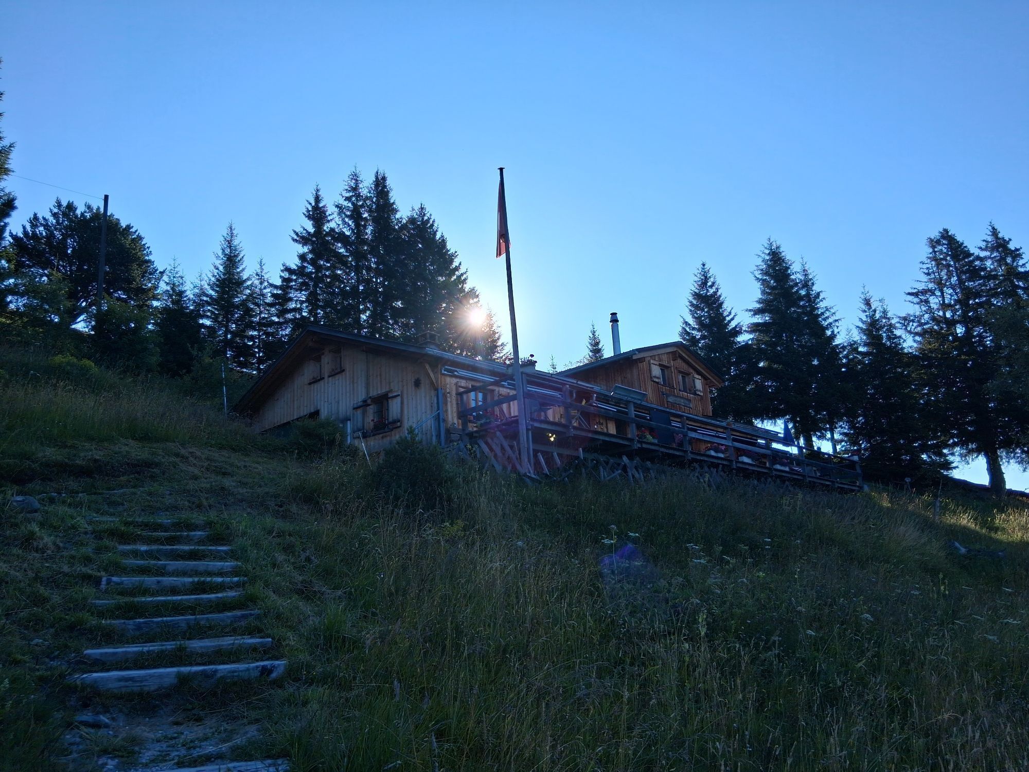
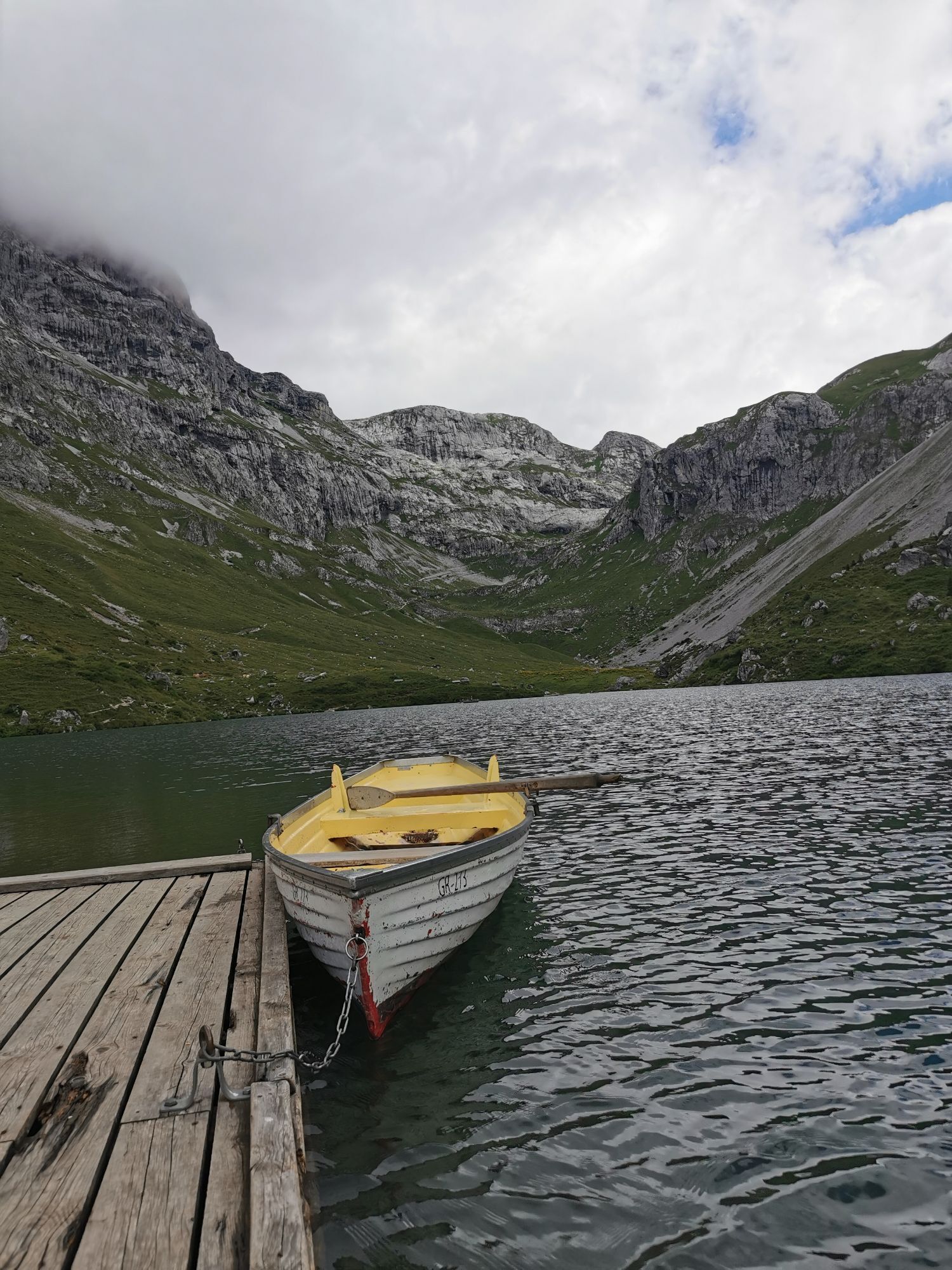
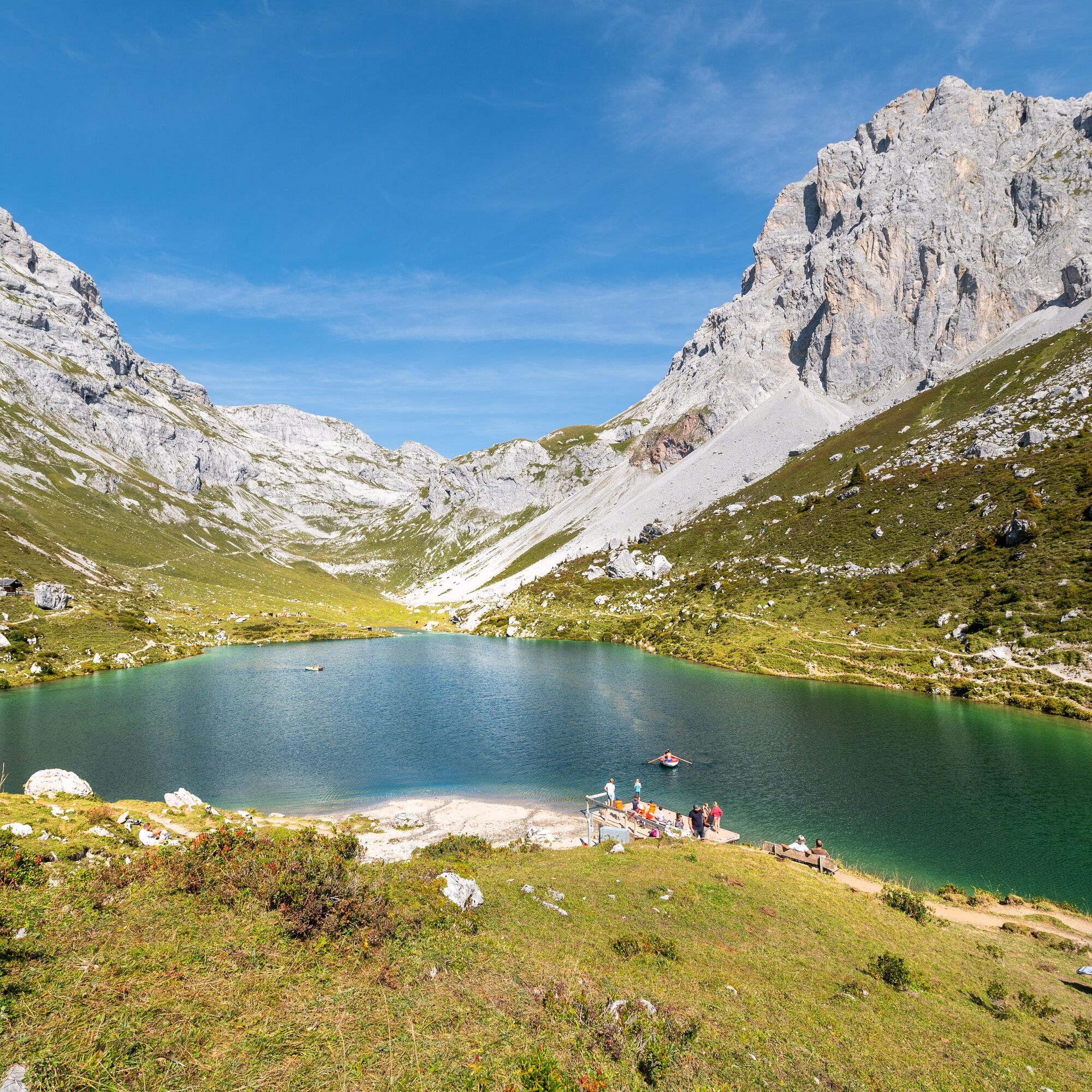
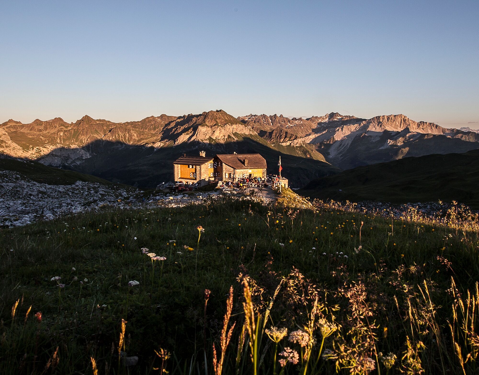
On the 2nd day, you hike over Carschina Untersäss (1637 m above sea level) towards Partnun. A cooling off at the crystal-clear Partnun Lake (1869 m above sea level) is recommended before heading up to the Carschina hut SAC (2221 m above sea level).
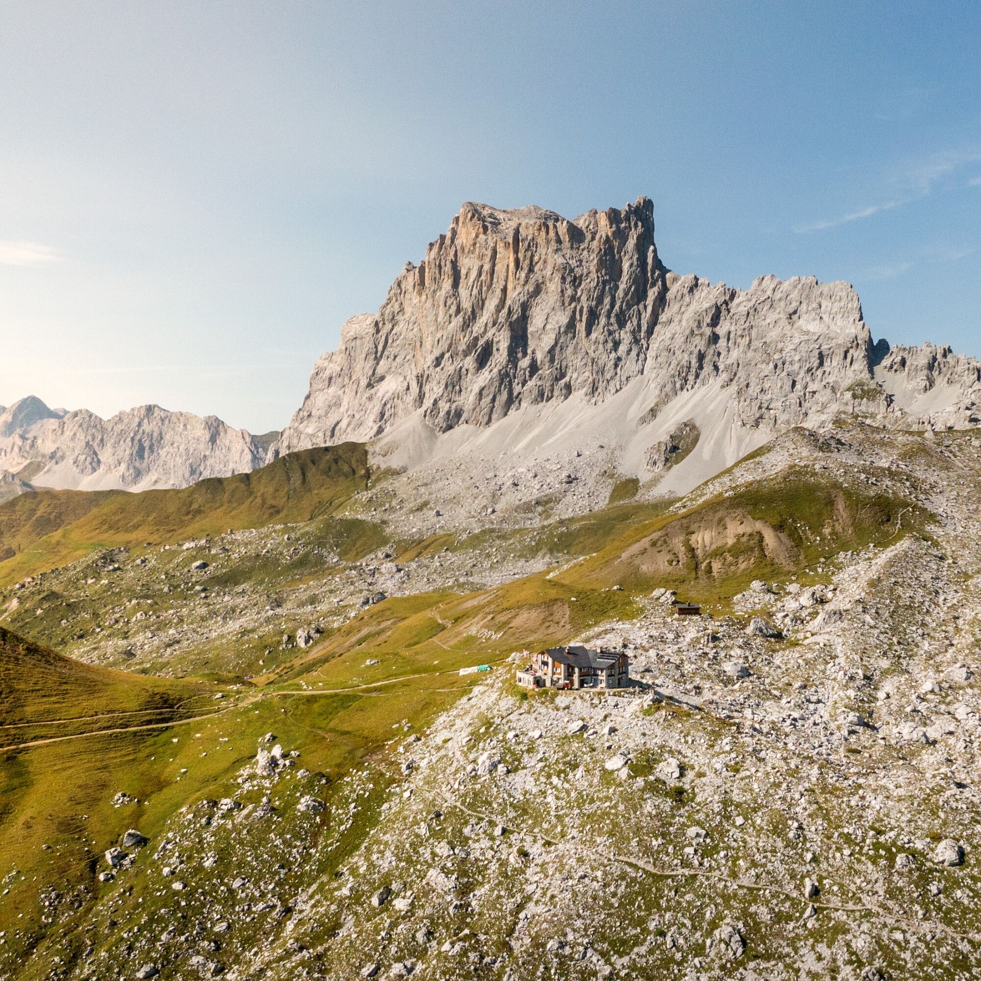
On the 3rd day, follow the Prättigau high route to Cavelljoch. Then continue via Fadurer Fürggli to the mountain station of the Fanas cable car.
Ano
Ano
Ano
Ano
The path is classified as T2/T3 (mountain hiking) according to the SAC hiking scale. Definition path/terrain: path with continuous trail and balanced inclines. If marked: white-red-white. Terrain partially steep, risk of falls not excluded. Definition requirement: some surefootedness. Trekking shoes are recommended. Basic orientation skills.
Attention dog owners:
As often seen in Graubünden, there are also several alpine pastures in the Rätikon protected by livestock guardian dogs. Please observe the official recommendations and the zones.
To Landquart with the Swiss Federal Railways, then change to the Rhaetian Railway towards Davos, Vereina.
You can park your car for free in the parking lot of the Madrisabergbahn. In Klosters square, all parking spaces require a fee.
Prättigau Marketing
Feldweg 19
CH-7233 Jenaz
Tel. +41 81 325 11 11
info@praettigau.info
praettigau.info
Book the long-distance hike here conveniently as a package.
Webové kamery z prohlídky
-
Sportzentrum Klosters
-
Bergstation Sassauna - Fanas
-
Sportzentrum Klosters
-
Sportzentrum Klosters
-
Sportzentrum Klosters
-
Sportzentrum Klosters
-
Sportzentrum Klosters
-
Sportzentrum Klosters
-
Madrisa Bergstation / Kinderland
-
Madrisa Bergstation / Kinderland
-
Golm - Rätikonbahn
-
Schlappin
-
Madrisaland
-
Lünersee - Douglass Hütte
-
Pany - Freibad
-
Pany - Freibad
-
St. Antönien - Skilift
-
Skilift St. Antönien
-
Skilift Pany
-
Skilift Pany
-
Tilisunahütte
-
Tilisunahütte
-
Hueter Hütte
-
Hueter Hütte
-
Schlappin
-
St. Antönien - Bord / Aschüel
-
Gargellen Süd
-
Gargellen West
-
Berghaus Sulzfluh
-
Berghaus Sulzfluh
-
Berghaus Sulzfluh
Získejte přehled
Vždy živě na místě s více než 9 500 webkamerami. bergfex Jako uživatel Pro si nyní můžete zobrazit odpovídající webové kamery pro mnoho prohlídek v aplikaci prohlídky z. Můžete si tak přímo prohlédnout aktuální podmínky.
Oblíbené prohlídky v okolí
-
4.8
Douglashütte - Schesaplana
středníTuristika 7.31 km -
5.0
Ski tour to the Lindauer Hut (1,744 m)
světloLyžařská trasa 14.0 km -
4.6
Smuggler’s path
středníTematická stezka 8.60 km -
4.6
Over the historic mine and Fritzensee to Rellseck
středníTuristika 7.25 km -
4.4
Golmer Lakes Trail
středníTematická stezka 7.28 km -
4.9
Douglasshütte, Lünersee, Gafalljoch Brand bei Bludenz, Vorarlberg
světloTuristika 9.16 km -
4.6
Madrisella summit path
středníTematická stezka 10.8 km -
4.3
Golmerbahn Bergstaion Grüneck - Golmer Höhenweg - Geißspitze - Lindauer Hütte - Latschau
středníTuristika 11.5 km -
4.8
Madrisella via ferrata
heavyVia ferrata 8.52 km -
4.9
Alpgues Runde
středníTuristika 9.21 km
Pěší turistika a stopování


Nenechte si ujít nabídky a inspiraci pro vaši příští dovolenou
Vaše e-mailová adresa byl přidán do poštovního seznamu.





