






72 Prättigauer Höhenweg stage 1: Klosters - St. Antönien

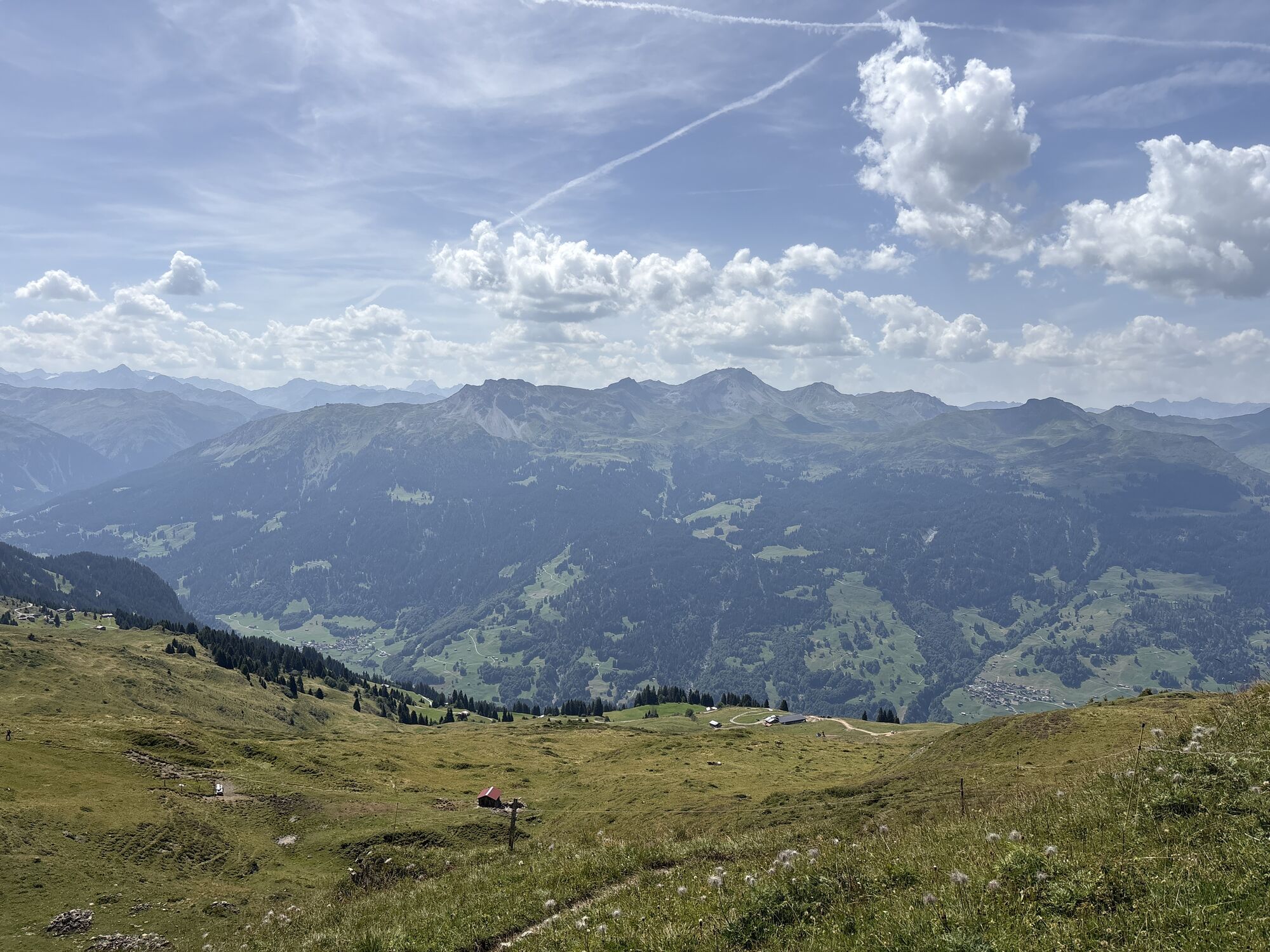
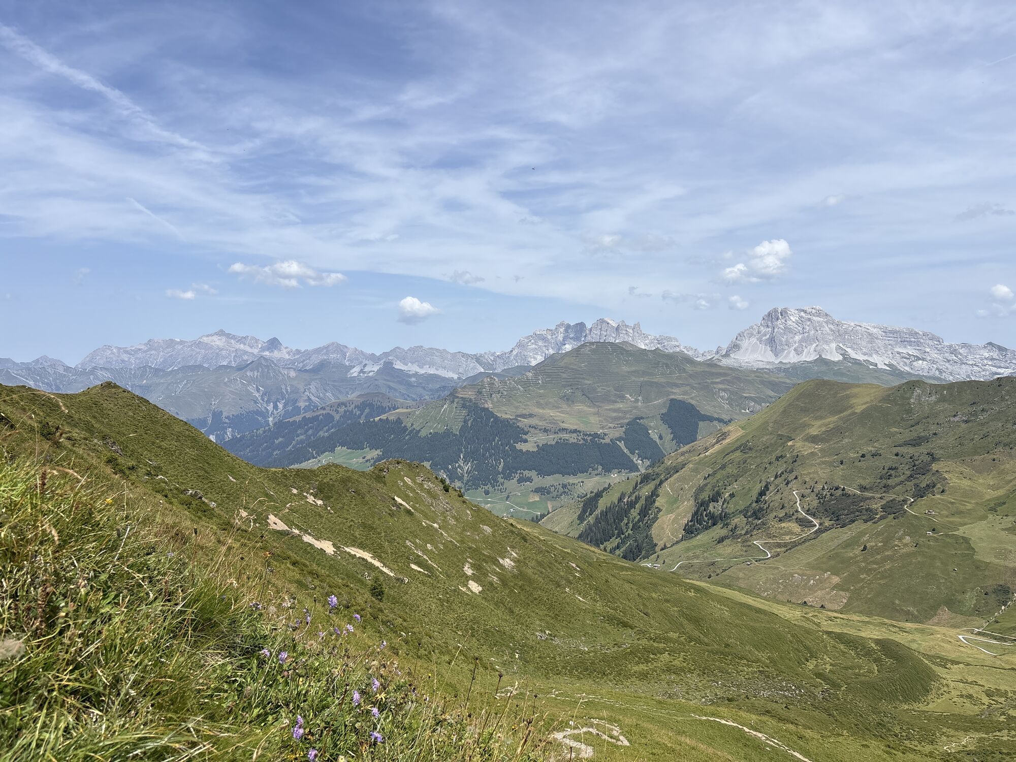
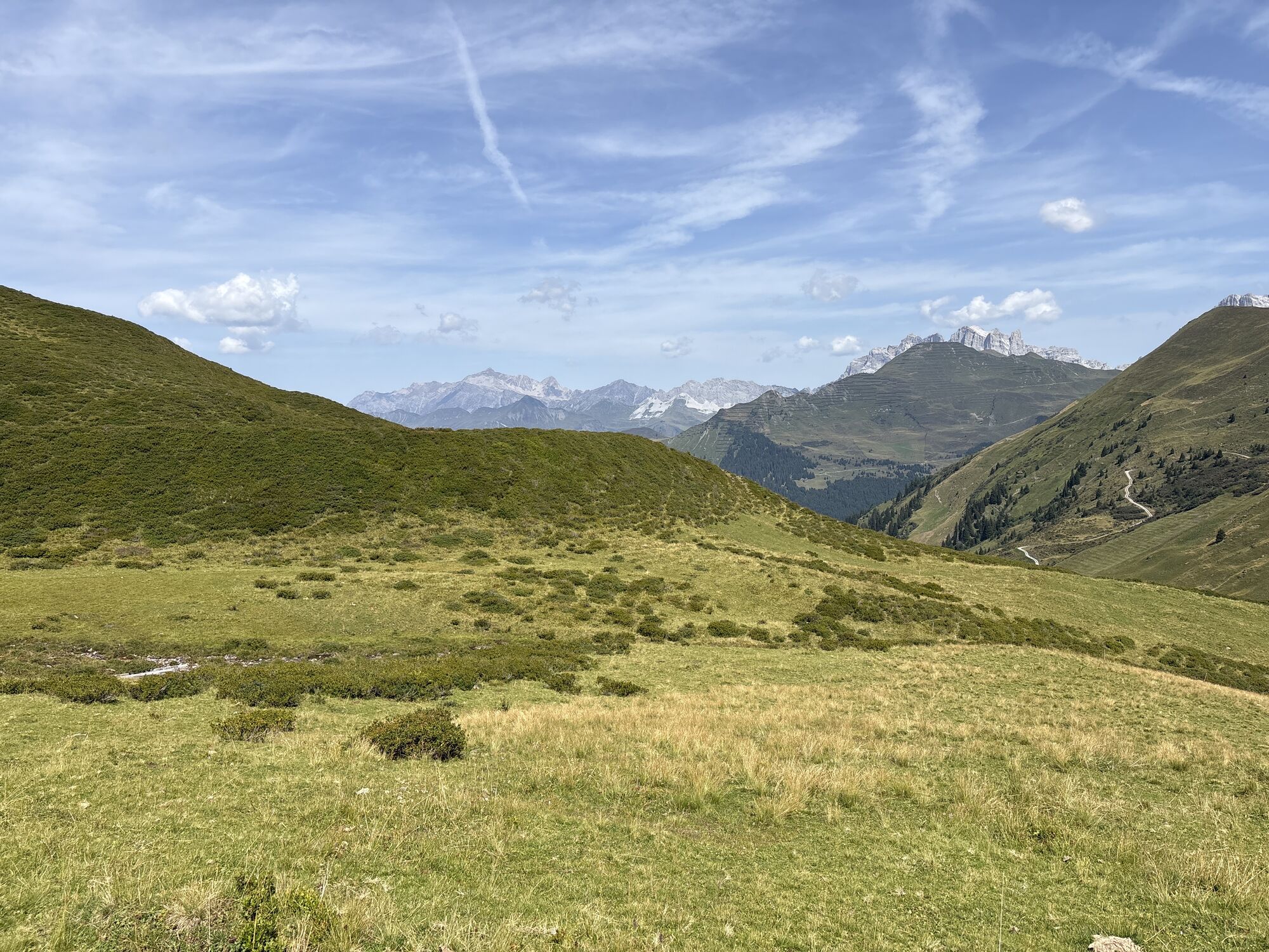
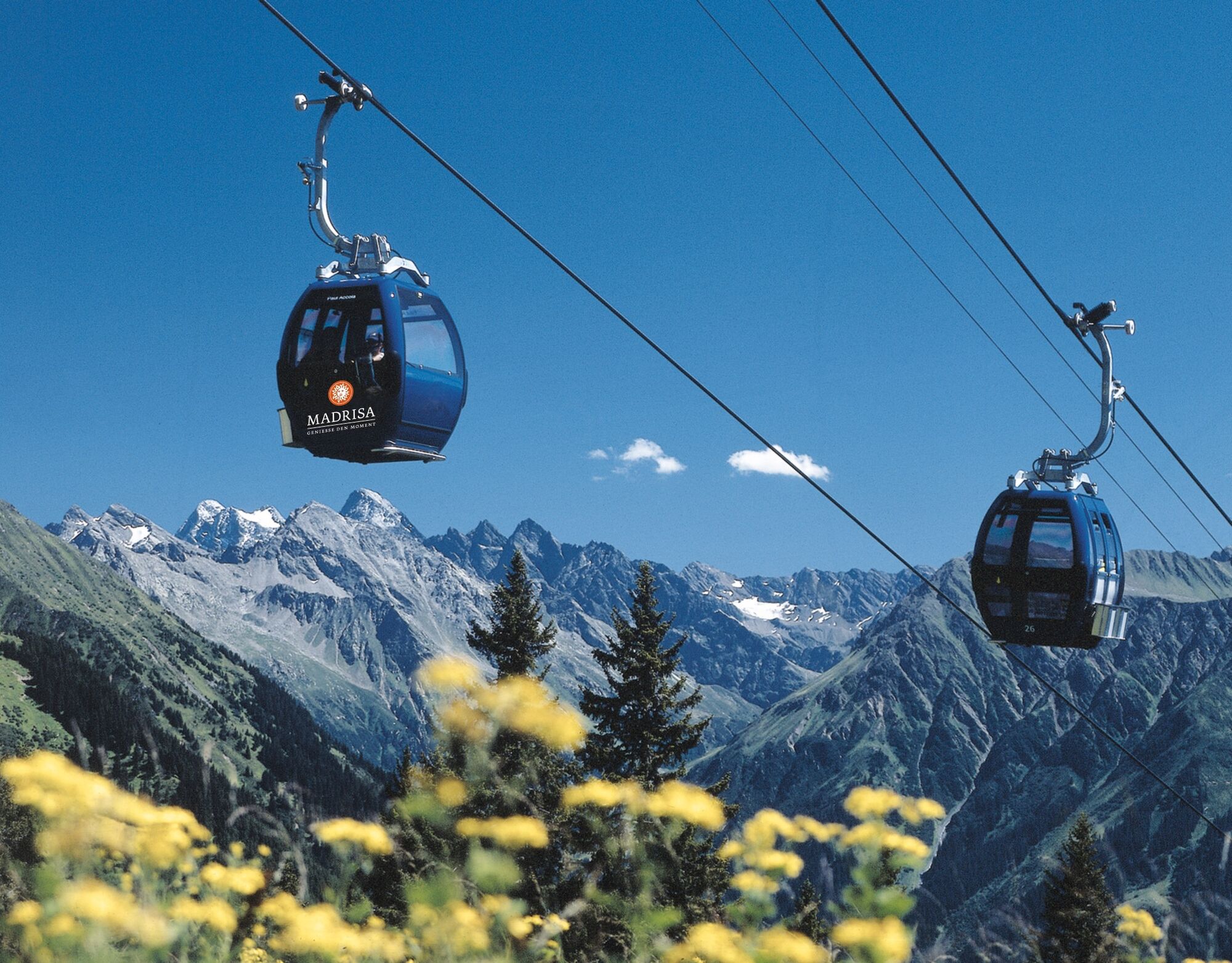
The tour starts in Klosters Dorf with the ascent on the Madrisa cable car to the Saaser Alp. Over meadows, you continue hiking past picturesque barns to the Jägglischhorn. Here the view extends across...
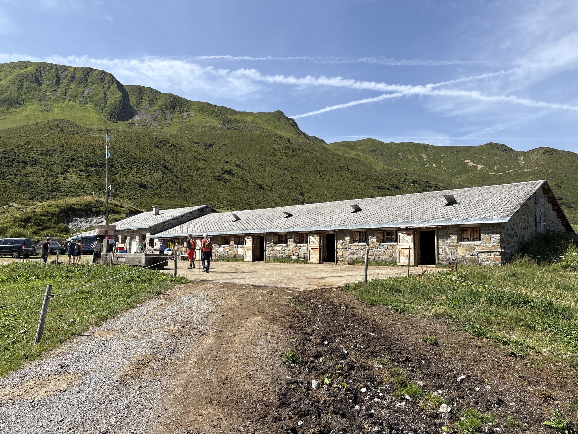
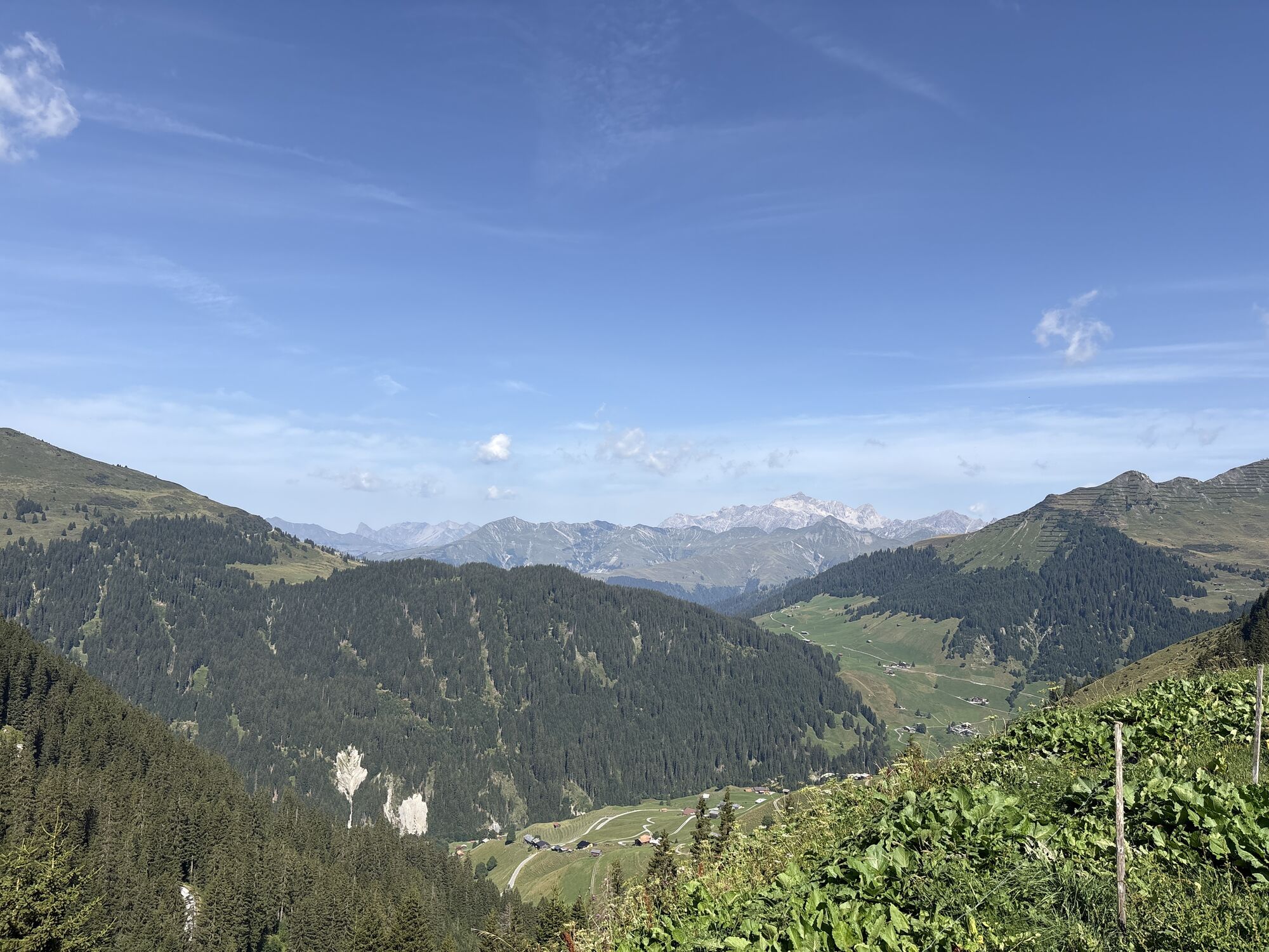
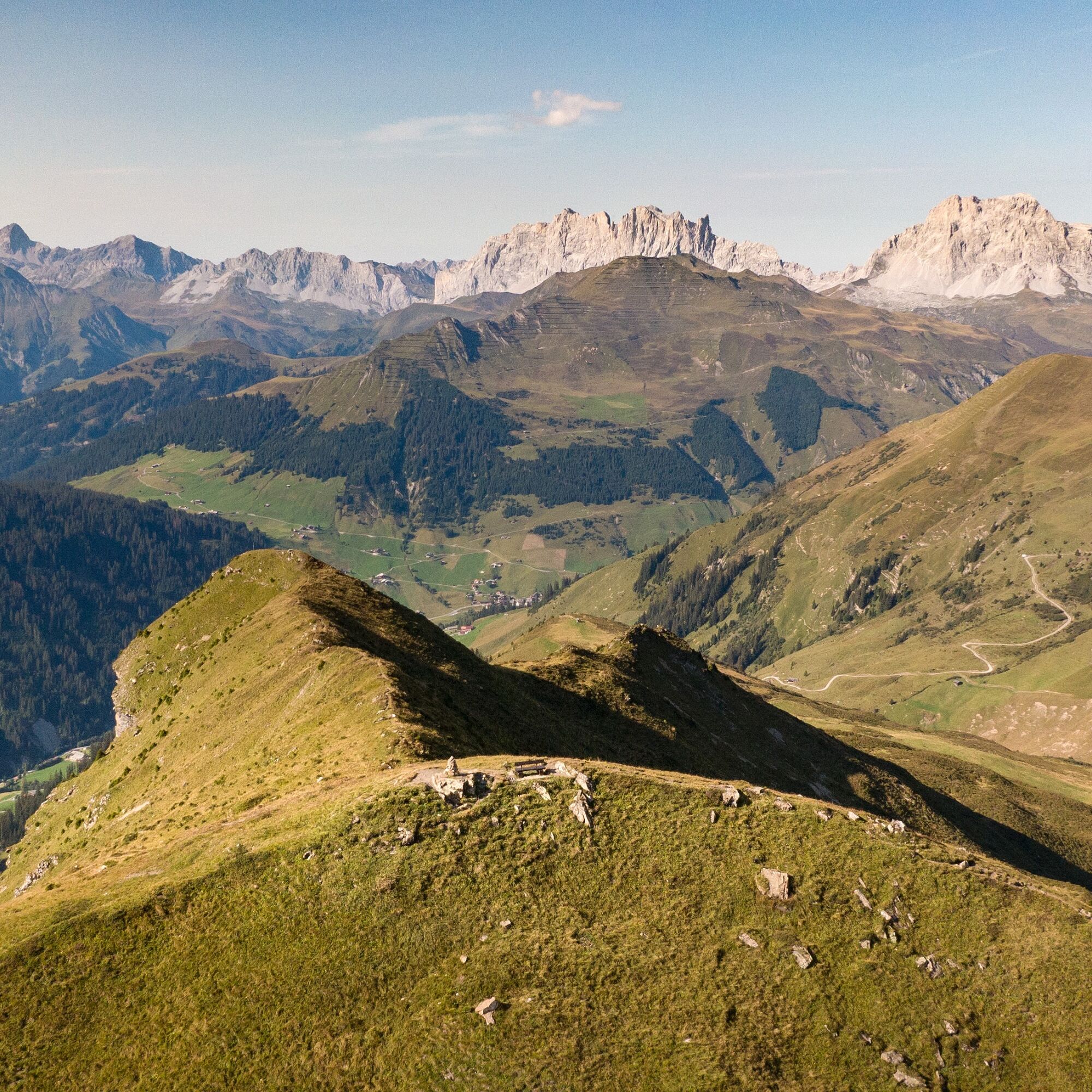
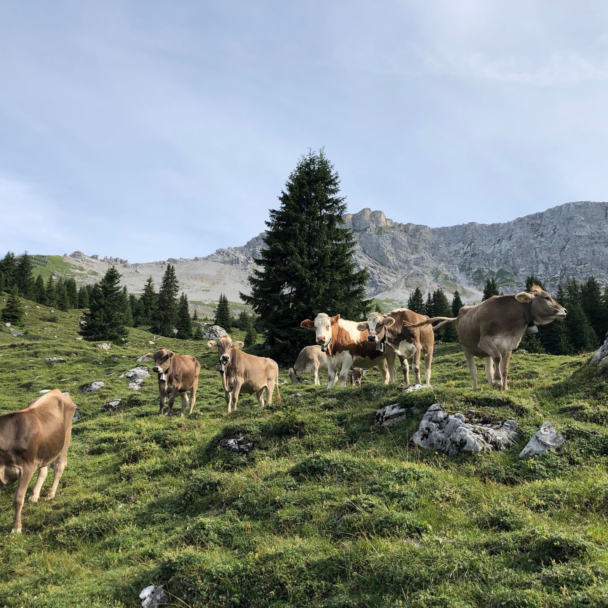
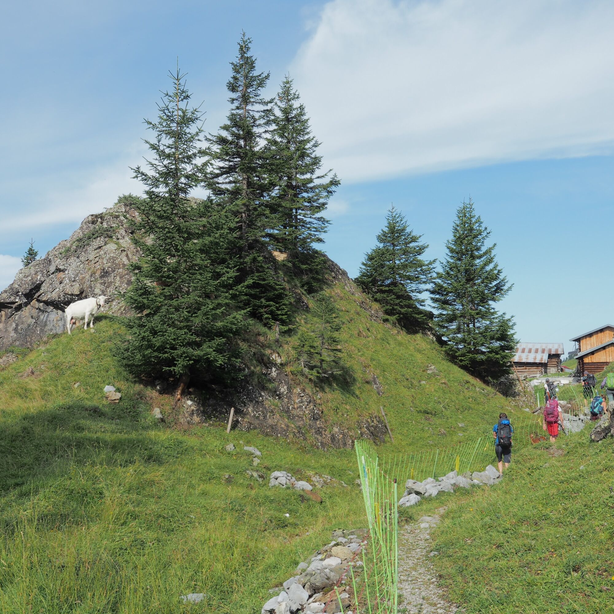
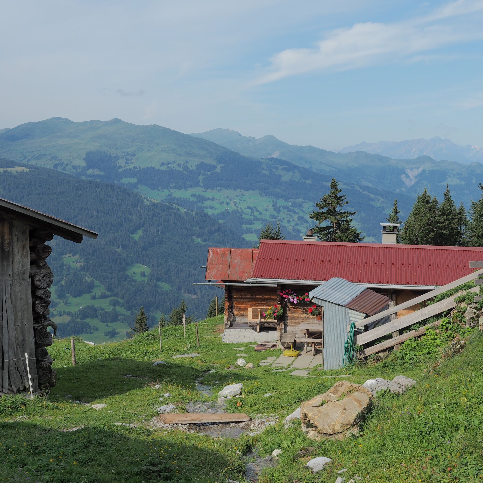
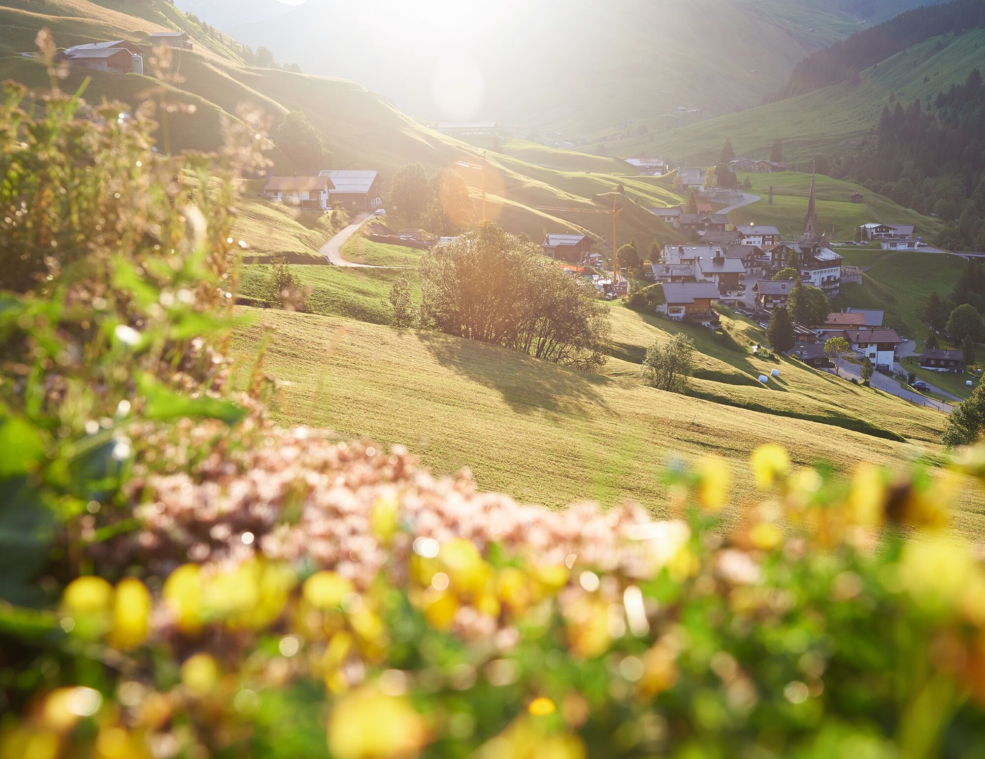
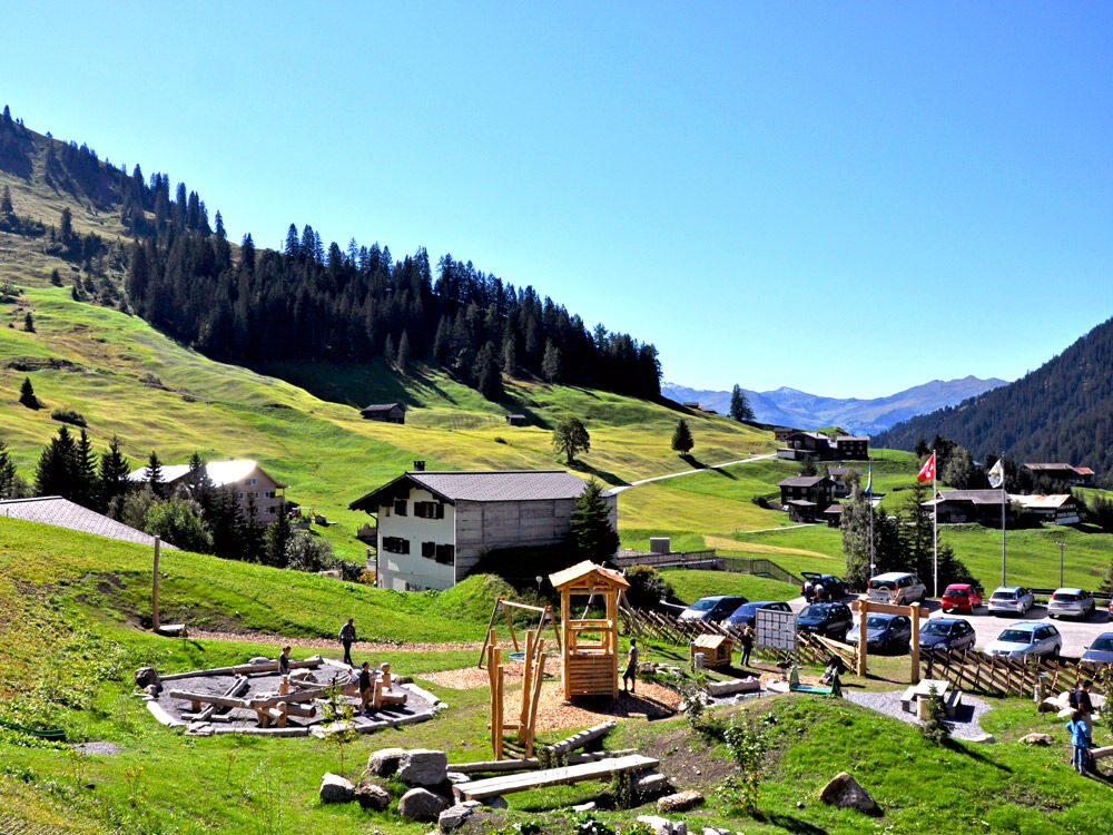
The tour starts in Klosters Dorf with the ascent on the Madrisa cable car to the Saaser Alp. Over meadows, you continue hiking past picturesque barns to the Jägglischhorn. Here the view extends across the whole Rätikon and the Prättigauer Höhenweg. Then follows a longer descent over mountain paths and alpine roads to St. Antönien, a originally preserved Walser village and the first mountain hiking village of Switzerland.
Book the Prättigauer Höhenweg including overnight stay online with a few clicks


Ano
Ano
Good footwear, mountain hiking clothing appropriate to the season (don’t forget spare clothes to change into!) as well as a map in your backpack are just as recommended as headgear, sunglasses and sunscreen, water bottle and hiking provisions. Hiking poles improve surefootedness and relieve the joints.
The route is classified as T2 (mountain hiking) according to the SAC hiking scale. Definition of path/terrain: continuous path with balanced slopes. If marked: white-red-white. Terrain partly steep, risk of falling not excluded. Definition of requirements: some surefootedness. Trekking shoes recommended. Basic orientation skills.
Coming from Zürich / St. Margrethen, leave the A13/E43 motorway at Landquart towards Landquart, Davos, Vereina. Drive on the national road A28 to Klosters.
Take the Swiss Federal Railways (SBB) to Landquart, then change to the Rhaetian Railway (RhB) towards Davos. Get off at Klosters-Platz. If you want to use the Madrisa cable car, it is recommended to get off at Klosters-Dorf. Attention: The trains from Landquart towards Scuol-Tarasp do not stop at Klosters-Dorf.
It is recommended to use the parking lots at Landquart station and then take the Rhaetian Railway to Klosters.
Pany-St. Antönien Tourism
Panyerstrasse 39
CH-7243 Pany
Tel. +41 81 300 32 22
info@pany-stantoenien.ch
www.pany-stantoenien.ch
Prättigau Marketing
Feldweg 19
CH-7233 Jenaz
Tel. +41 81 325 11 11
info@praettigau.info
praettigau.info
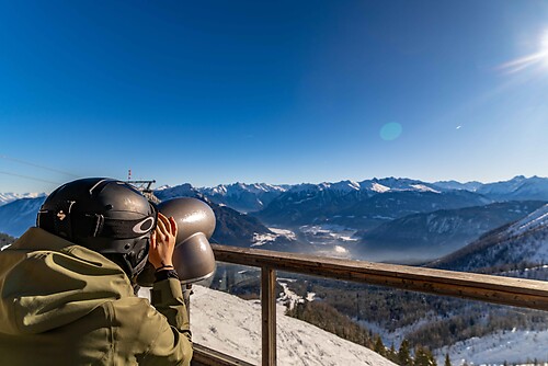
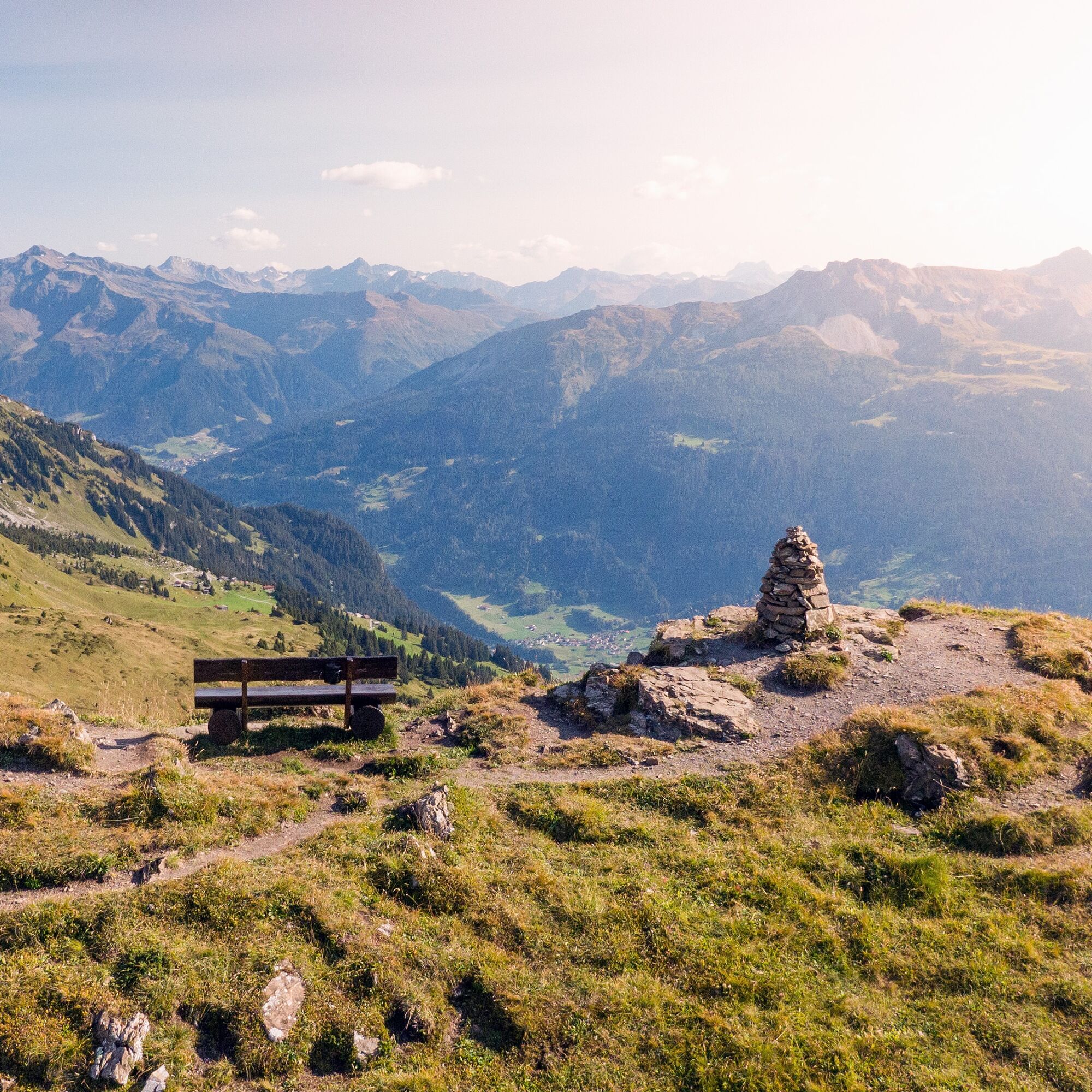
A short detour from Fürggli to the Jägglisch Horn is worthwhile. Magnificent mountain panorama!
Webové kamery z prohlídky
Sportzentrum Klosters
Sportzentrum Klosters
Madrisa Bergstation / Kinderland
Madrisa Bergstation / Kinderland
Madrisa Bergstation / Kinderland
Madrisa Bergstation / Kinderland
Madrisa Bergstation / Kinderland
Madrisaland
Madrisaland
Madrisaland
Madrisaland
Pany - Freibad
Pany - Freibad
St. Antönien - Skilift
Skilift St. Antönien
Skilift Pany
Madrisa Bergstation / Kinderland
Skilift Pany
St. Antönien - Bord / Aschüel
Gargellen Süd
Gargellen West
Berghaus Sulzfluh
Berghaus Sulzfluh
Berghaus Sulzfluh


Oblíbené prohlídky v okolí
- 4.7
Douglashütte - Schesaplana
středníTuristika 7.31 km - 4.4
Golmerbahn Bergstaion Grüneck - Golmer Höhenweg - Geißspitze - Lindauer Hütte - Latschau
středníTuristika 11.5 km - 4.8
Douglasshütte, Lünersee, Gafalljoch Brand bei Bludenz, Vorarlberg
světloTuristika 9.16 km - 4.9
Sulzfluh via ferrata, St. Antönien
heavyVia ferrata 11.3 km - 4.8
Schesaplana
středníVysokohorská turistika 5.26 km - 3.0
Bergstation Grüneck Golmerbahn - Alpe Latschätz - Lindauer Hütte - Latschau
světloTuristika 11.1 km - 4.7
Lünerseebahn Talstation - Douglasshütte - Lünerkrinne - Südl. Schafgafall
heavyTuristika 9.11 km - 4.7
Lünerseebahn Bergstation - Lünersee Alpe - Douglasshütte
středníTrailrunning 6.10 km - 5.0
Golmerbahn Bergstation Grüneck - Matschwitz - Latschau
světloTuristika 9.94 km - 5.0
Vandans - Totalphütte - Schesaplana - Douglasshütte
středníTuristika 18.0 km
Pěší turistika a stopování


Nenechte si ujít nabídky a inspiraci pro vaši příští dovolenou
Vaše e-mailová adresa byl přidán do poštovního seznamu.





