





Hiking Trail - The Immerlins Loop
Úroveň obtížnosti: T1
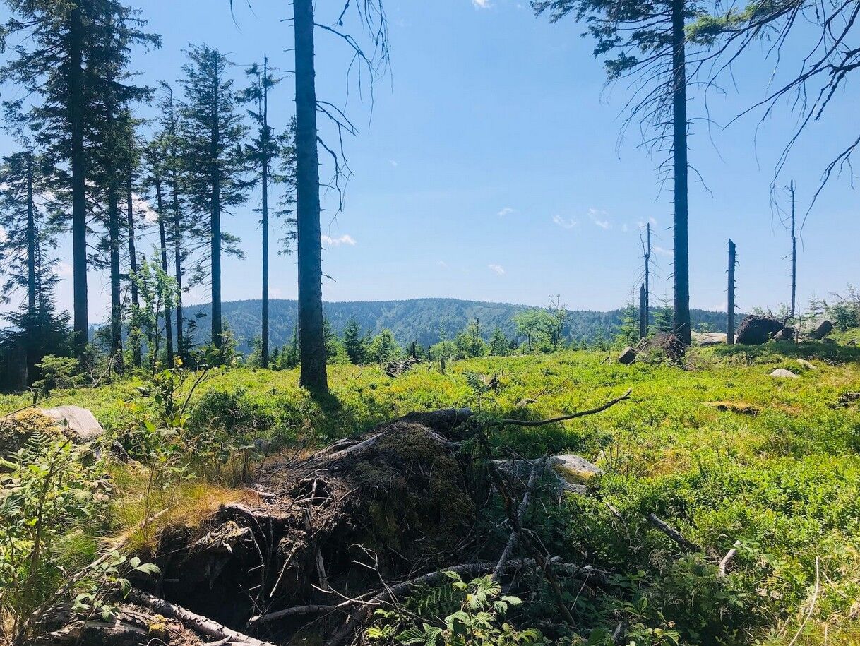
You’ll then follow a rocky trail—a complete change of scenery—to reach the barren summit of the Tête des Immerlins. It’s a very secluded spot, so take the opportunity to enjoy a refreshing break in the great outdoors.

Here is the detailed itinerary
Hiking shoes suitable for the terrain (even for children!)
Telescopic hiking poles (useful for stability and to relieve pressure on the joints)
Cell phone and spare battery, if needed
Assess potential risks by consulting mountain professionals, refuge staff, and lodge operators
Inform a loved one of your plans and contact them again if there are any changes: departure and return times, number of participants along with each person’s phone number, vehicle(s), and parking location
Avoid going alone; use equipment appropriate for the activity, properly adjusted and in good condition, such as a headlamp, a complete first-aid kit, a survival blanket, etc.
In case of an emergency, call 112
Le Bonhomme Stop - Lac Blanc 1200 (Col du Calvaire)
www.parc-ballons-vosges.fr/navette-des-cretes
Free on-site parking
T1
Lac Blanc Visitor Center
1200, Col du Calvaire | Tel: +33 389 78 22 78
Email: contact@lac-blanc.com
Oblíbené prohlídky v okolí
-
4.5
Hiking route - the circuit of the 3 lakes
středníTuristika 12.7 km -
5.0
Le tétras bistrot - Hohneck - Chapelle Notre-Dame-des-Chaumes - Brasserie de la Schlucht
heavyTuristika 10.7 km -
5.0
Vogesen Col de la Schlucht
heavyTuristika 19.3 km -
4.7
Longemer Col des Feignes Walk
středníTuristika 8.83 km -
5.0
Hiking route: The Wormsa waterfalls and Fischboedle lake
středníTuristika 8.15 km -
4.0
Le tétras bistrot - Hôtel - Restaurant du Chalet - Chapelle Notre-Dame-des-Chaumes - La Schlucht
středníTuristika 5.95 km -
4.0
Hohrod - Wanderung in die Zeit des 1. Weltkrieges
středníTuristika 7.87 km -
4.0
The Lac Blanc ridge
světloTuristika 5 km -
Crossing of the Vosges Massif - Stage 14 - Le Bonhomme - Schlucht Pass
střednídálková pěší trasa 19.4 km -
5.0
MTB Route M6: Attack on the Petit Ballon
heavyMountainbike 40.1 km
Pěší turistika a stopování


Nenechte si ujít nabídky a inspiraci pro vaši příští dovolenou
Vaše e-mailová adresa byl přidán do poštovního seznamu.





