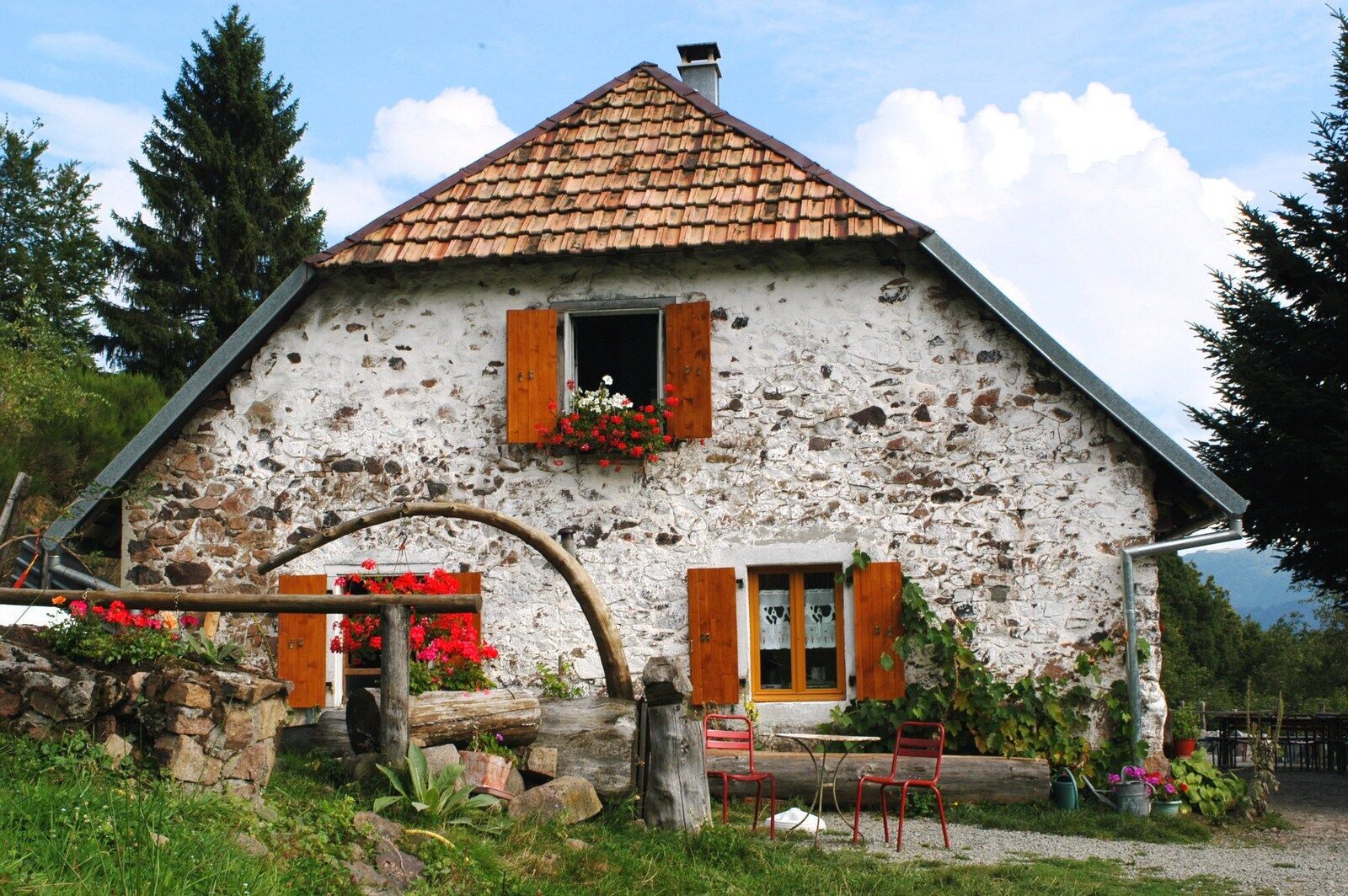
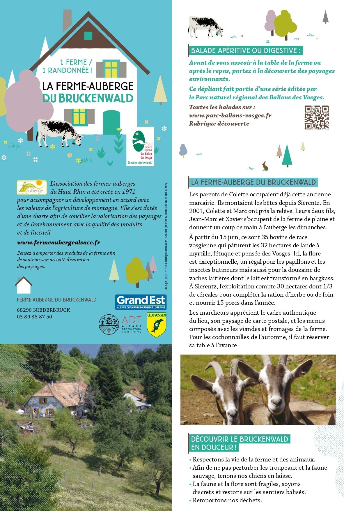
Walk Farm-Auberge Bruckenwald "On the old border"
střední
Navigace na stránkách
Navigace na stránkách
Pořiďte si tuto prohlídku do mobilního telefonu
Walk Farm-Auberge Bruckenwald "On the old border"
střední
Turistika
6.41
km
Naskenujte QR kód a spusťte navigaci v aplikaci bergfex.

Pěší turistika a stopování


Walk Farm-Auberge Bruckenwald "On the old border"
střední
Vzdálenost
6.41
km
Doba trvání
02:10
h
Ascent
335
hm
Hladina moře
757 -
1063
m
Stažení skladby
Walk Farm-Auberge Bruckenwald "On the old border"
střední
Turistika
6.41
km
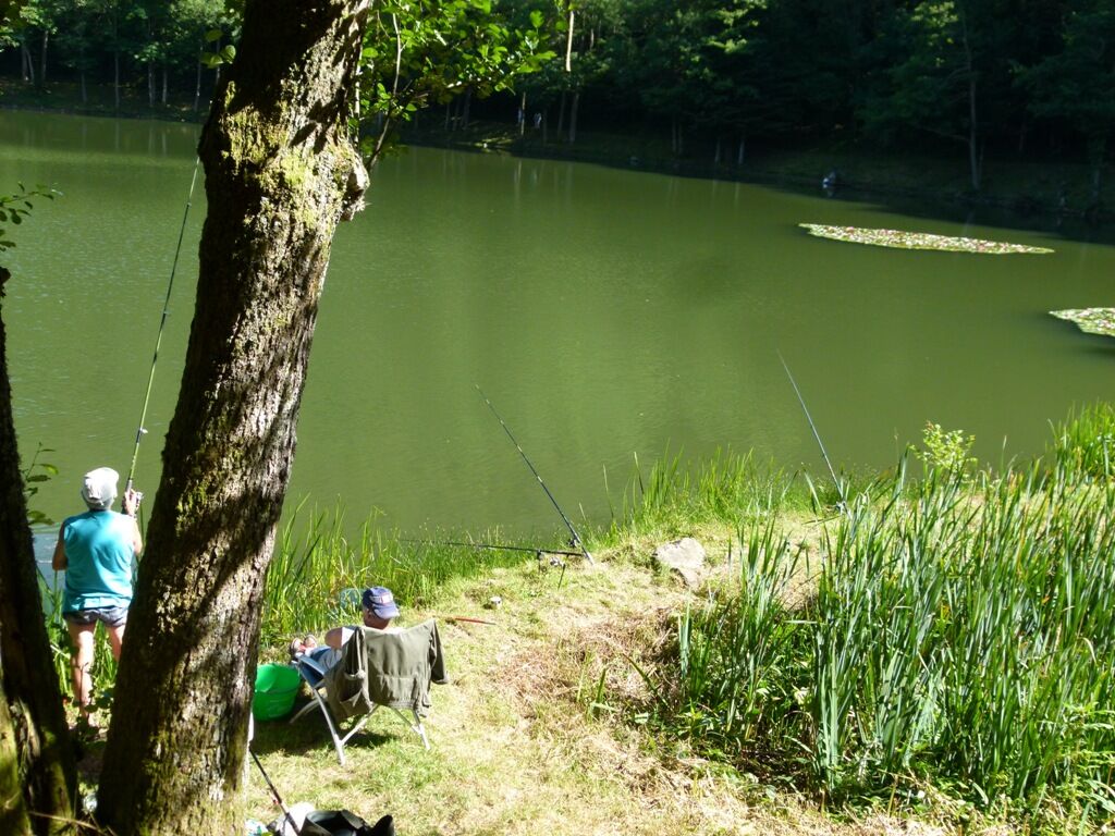
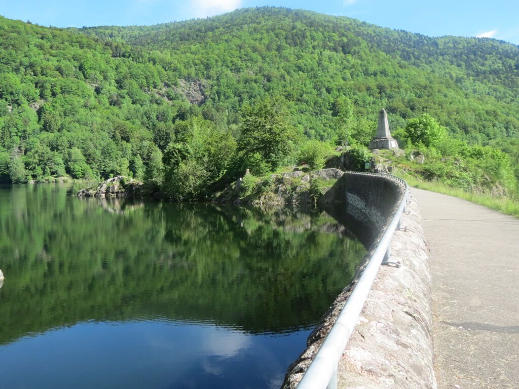
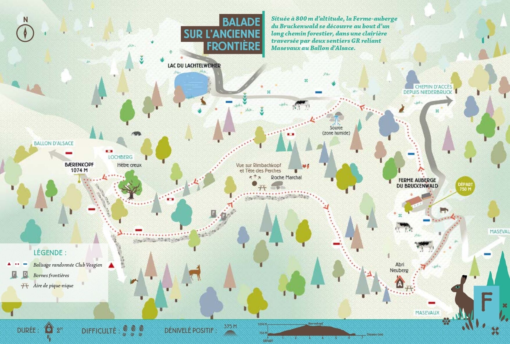
Discover beautiful landscapes between forests and pastures at an altitude of 800 m, as well as breathtaking views. If you wish, you can make a round trip to the Lachtelweiher lake.
Trasa
Ferme Auberge Bruckenwald
(800 m)
Restaurace
0.0 km
Baerenkopf
(1075 m)
Summit
2.8 km
Ballon de St-Nicolas
(1039 m)
Summit
3.6 km
Tête Saint-Nicolas
(1021 m)
Summit
3.9 km
Trasa
Walk Farm-Auberge Bruckenwald "On the old border"
střední
Turistika
6.41
km
Ferme Auberge Bruckenwald
(800 m)
Restaurace
0.0 km
Baerenkopf
(1075 m)
Summit
2.8 km
Ballon de St-Nicolas
(1039 m)
Summit
3.6 km
Tête Saint-Nicolas
(1021 m)
Summit
3.9 km
Roche Marchal 1022m
(1011 m)
Koridor/terén
4.0 km
Ferme Auberge Bruckenwald
(800 m)
Restaurace
6.3 km
Autor
Poskytuje Massif des Vosges
Prohlídku Walk Farm-Auberge Bruckenwald "On the old border" zajišťuje outdooractive.com.

Informace o trase
Trasa
see itinerary
Geologické zajímavosti
Ano
Prohlídka vrcholu
Ano
Vhodné pro rodiny
Ano
Vybavení
Avoid going off on your own, and use equipment that is suitable for the activity, adjusted and in good condition: headlamp, complete first-aid kit, survival blanket, etc.
Bezpečnostní pokyny
Before setting off:
Find out about general and local weather conditions, making sure there's no precipitation. Find out about the approach to the route, its height, how long it will take, and any possible escapes (IGN map, GPS, topo-guide, etc.). Evaluate possible risks by asking mountain professionals, refuges and gîtes. Inform someone close to you of your objective, and contact them again in the event of any changes: departure and return times, number of participants with telephone numbers for each, vehicle(s), parking, etc. Avoid setting off alone, and use equipment that is suitable for the activity, adjusted and in good condition: headlamp, complete first-aid kit, survival blanket, etc.In the event of a problem
Call 112 (European emergency number)
5 key points to transmit your alert:
Where? commune, location, itinerary, altitude Who? identity, telephone number What? type of accident, number of victims, severity, fall kinetics When? time of accident Weather ? wind, visibility
Informace o příjezdu
Další informace a tipy
Další informace
Bruckenwald farmhouse inn
68290 Niederbruck
03 89 38 87 50
Zatím žádné recenze
Oblíbené prohlídky v okolí
-
Lochberg Farm Inn Route - Walk accompanied by centenary beeches
středníTuristika 3.64 km -
Thur Valley Route
heavydálková pěší trasa 103.9 km -
5.0
Discovery trail circuit at the Ballon d'Alsace
středníTuristika 2.69 km -
The Belacker and Gsang MTB FFC route no. 22
středníMountainbike 36.7 km -
Crossing the Vosges Mountains - Stage 17 - Thann - Ballon d'Alsace
heavydálková pěší trasa 27.8 km -
Route Thannerhubel Farm Inn "Between the stone alignments"
světloTuristika 2.98 km -
The Thannerhubel at Bourbach-le-Haut
středníTuristika 7.32 km -
Crossing the Vosges Mountains - Stage 18 - Ballon d'Alsace - Giromagny
střednídálková pěší trasa 12.3 km -
Crossing the Vosges Mountains - Stage 19 - Giromagny - Belfort
střednídálková pěší trasa 21.9 km -
Gustiberg farmhouse inn tour (Urbès) - To Sepp's paradise
světloTuristika 4.17 km

Pěší turistika a stopování

Více než 550.000 návrhů výletů, podrobné mapy a intuitivní plánovač tras dělají z aplikace nezbytnou výbavu pro všechny milovníky přírody.

Nenechte si ujít nabídky a inspiraci pro vaši příští dovolenou
Přihlaste se k odběru newsletteru
Chyba
Došlo k chybě. Zkuste to prosím znovu.
Děkujeme za vaši registraci
Vaše e-mailová adresa byl přidán do poštovního seznamu.
Zájezdy po celé Evropě
Rakousko
Švýcarsko
Německo
Itálie
Slovenia
Francie
Nizozemsko
Belgie
Polsko
Lichtenštejnsko
Česko
Slovensko
Španělsko
Chorvatsko
Bosna a Hercegovina
Lucembursko
Andorra
Portugal
Iceland
United Kingdom
Ireland
Greece
Albania
North Macedonia
Malta
Norway
Montenegro
Moldova
Kosovo
Hungary
San Marino
Romania
Estonia
Latvia
Belarus
Cyprus
Lithuania
Serbia
Bulgaria
Monaco
Denmark
Sweden
Finland