







Micro Adventure 8 Crossing of the Vosges Massif - Assault on the Ballon d'Alsace

Úroveň obtížnosti: T3
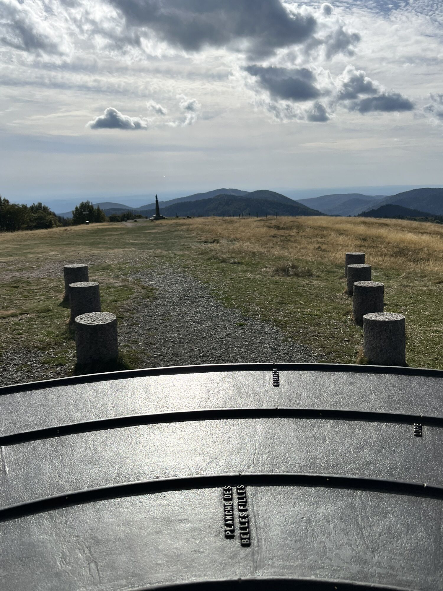
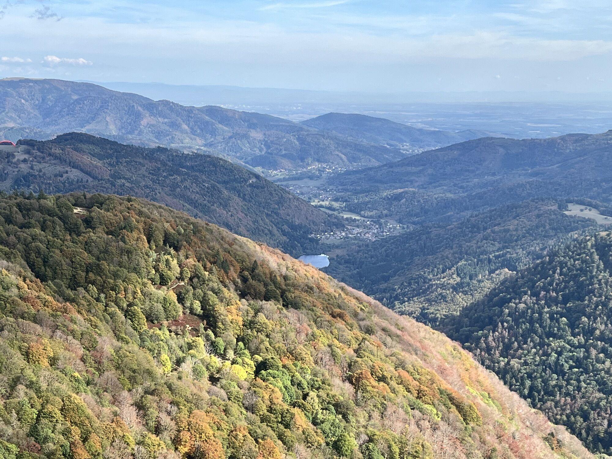
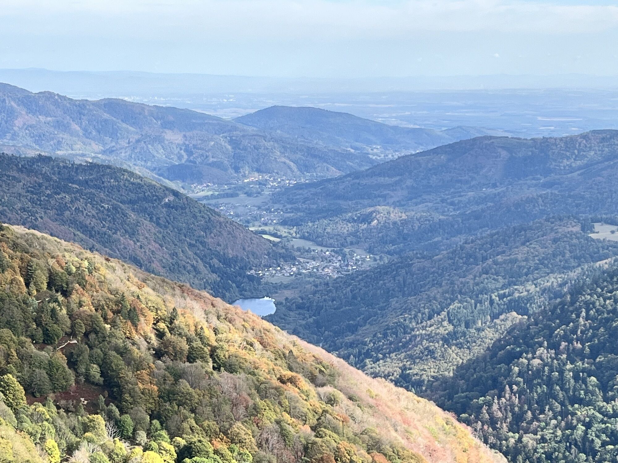
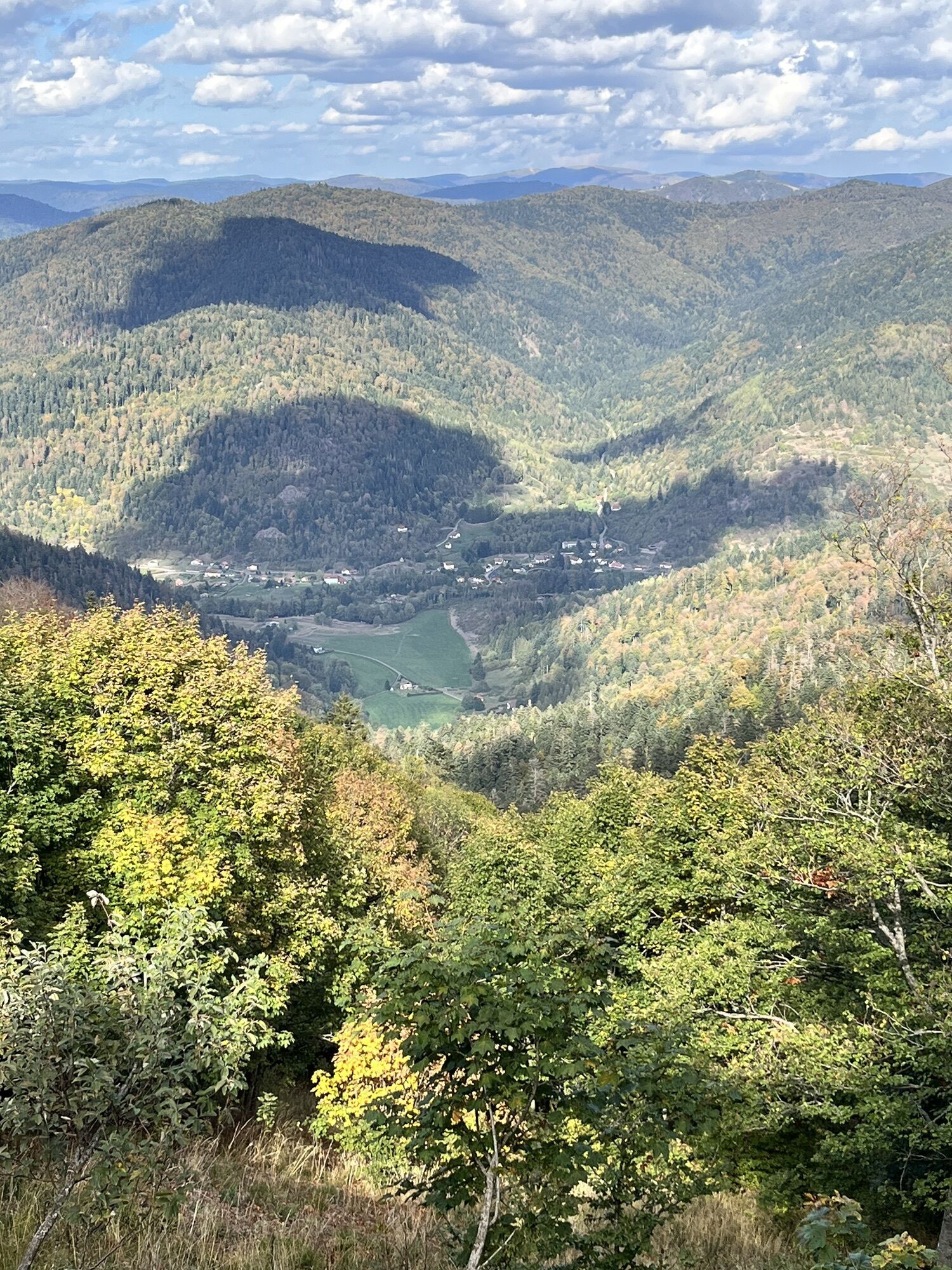
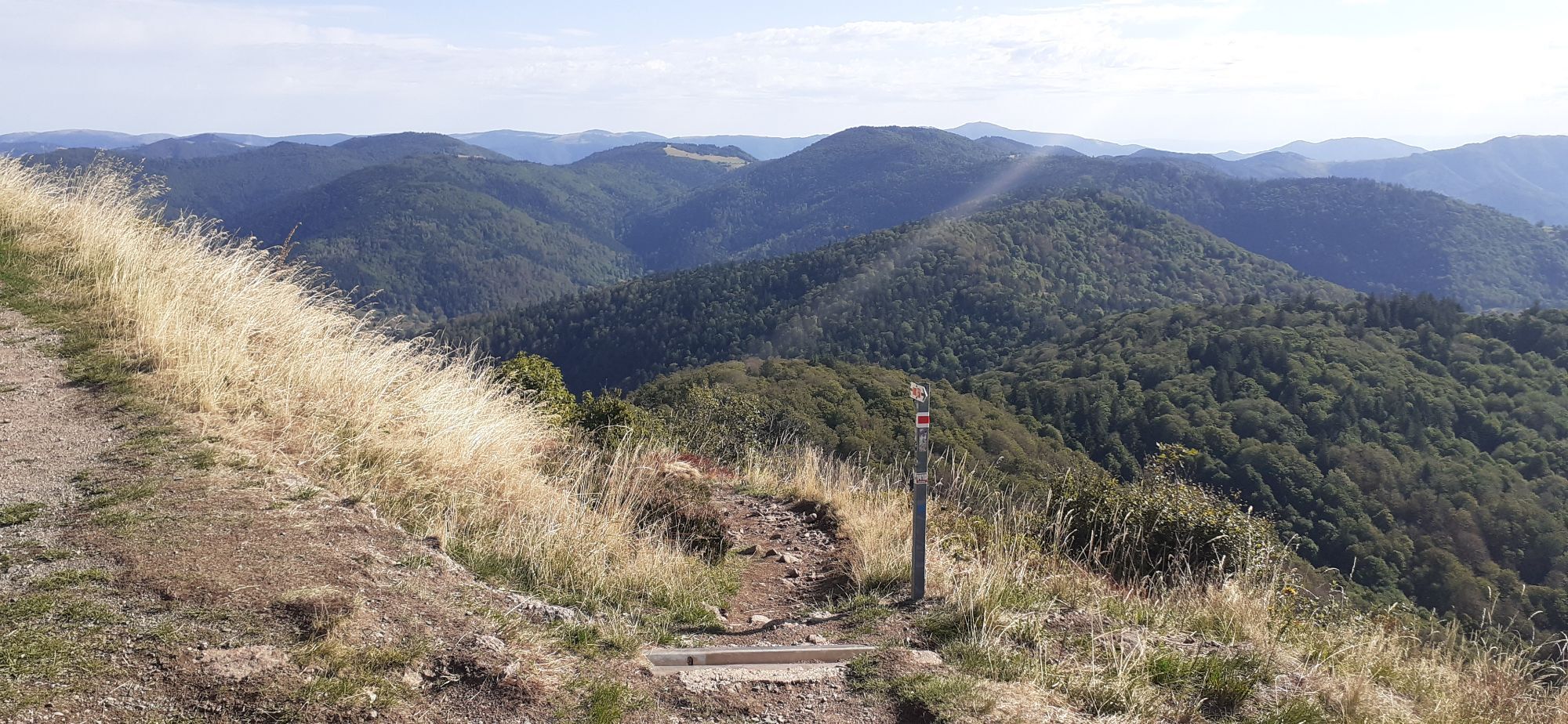
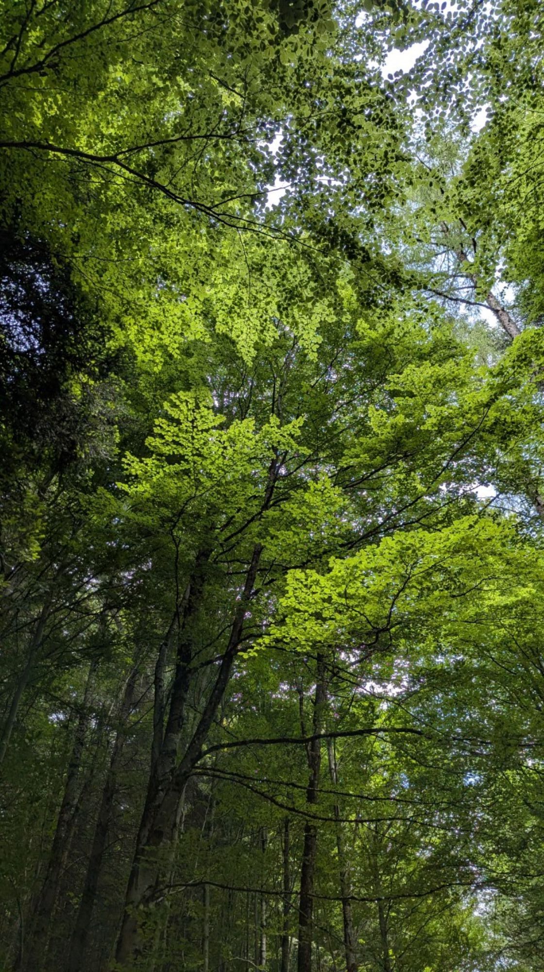
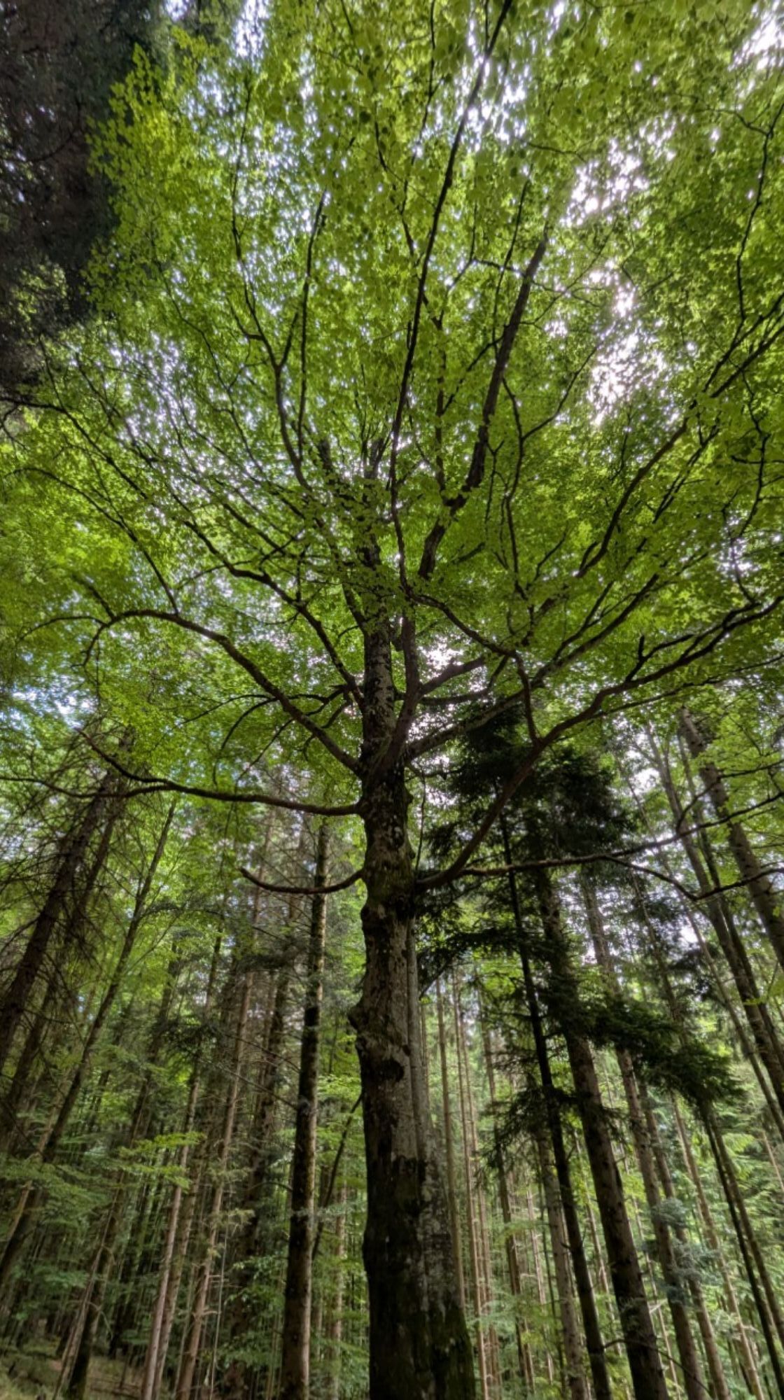
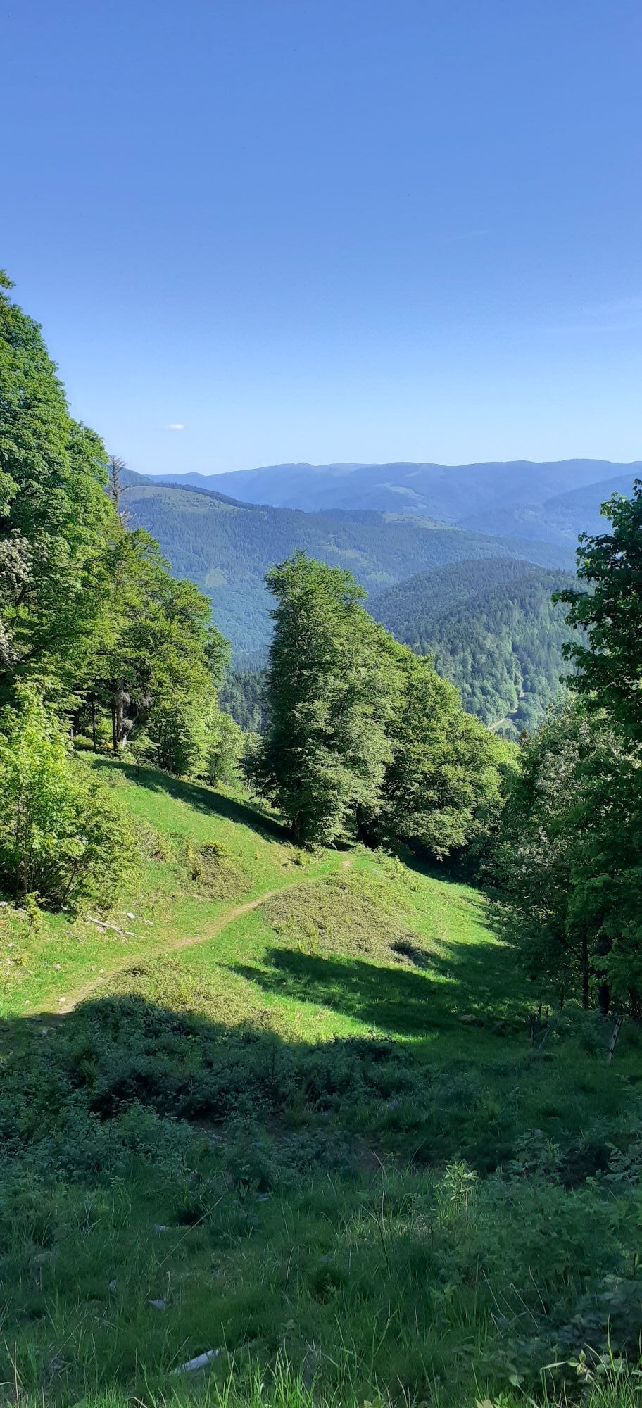
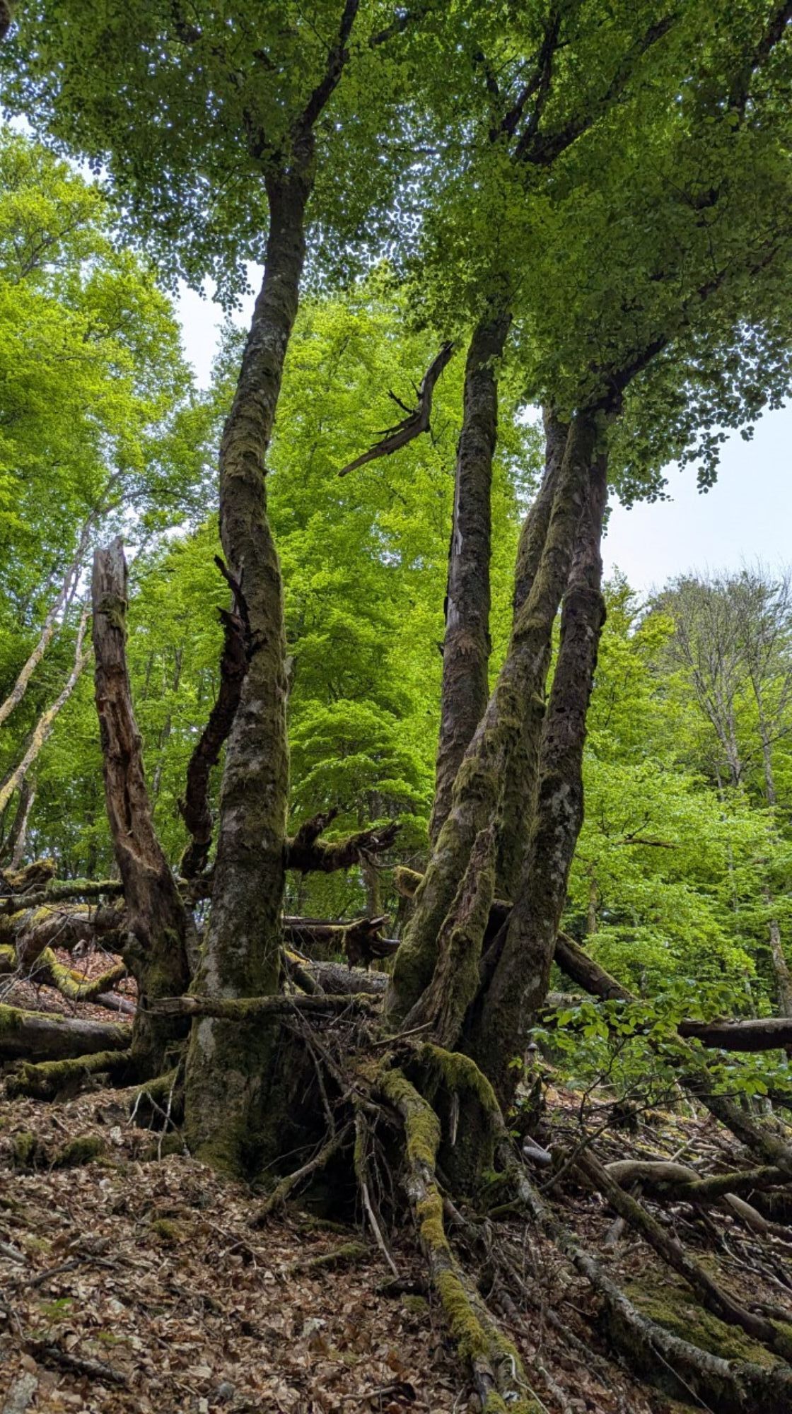
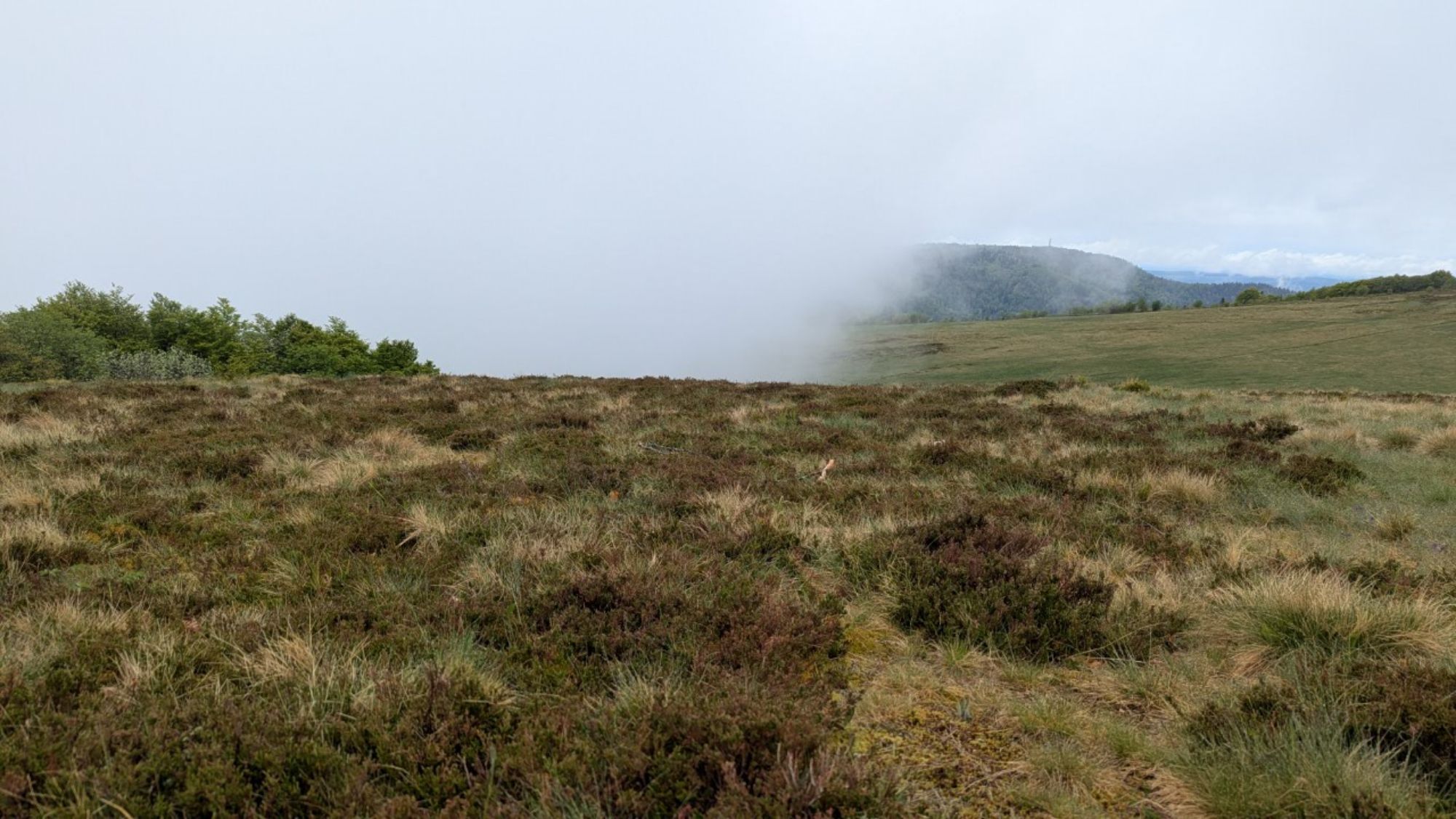
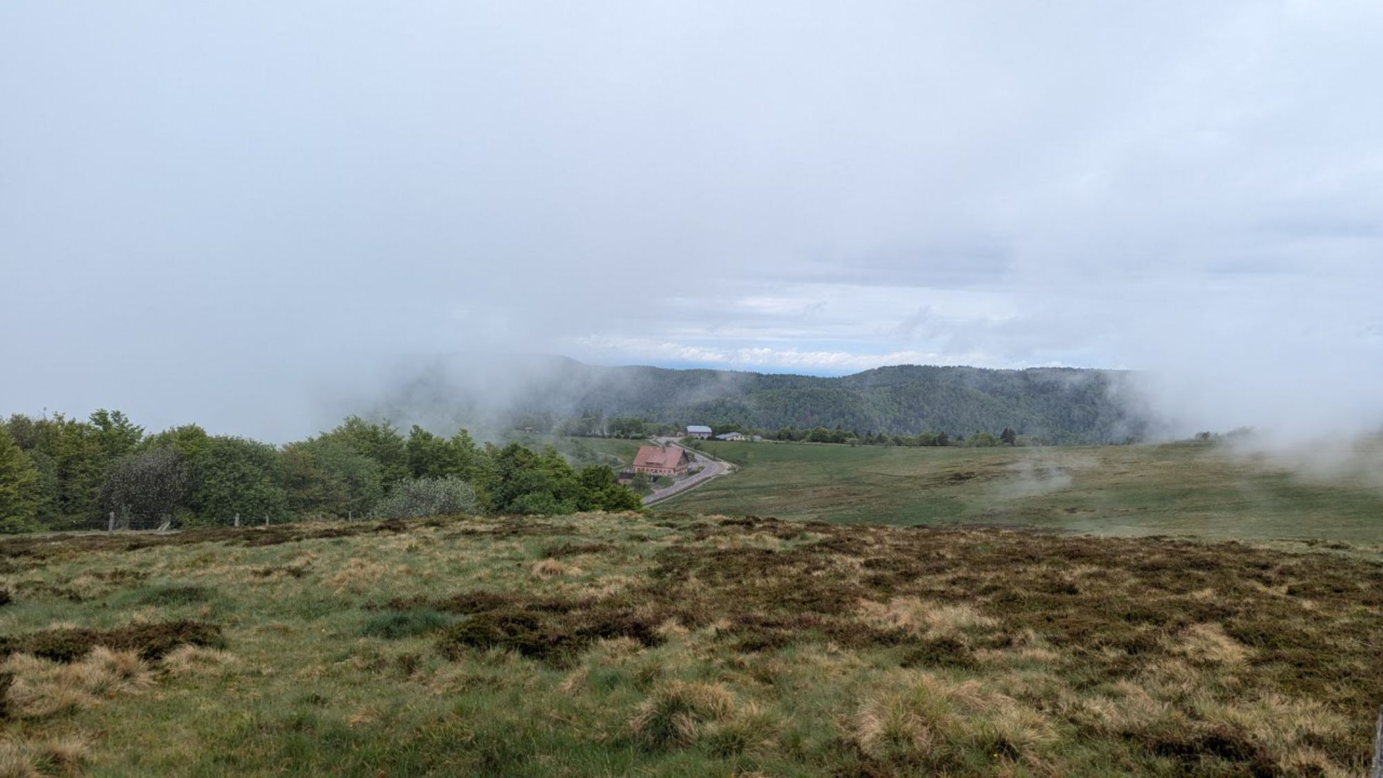
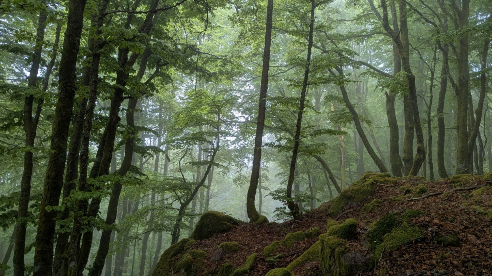
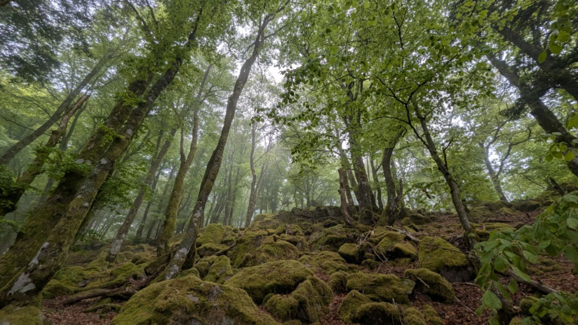
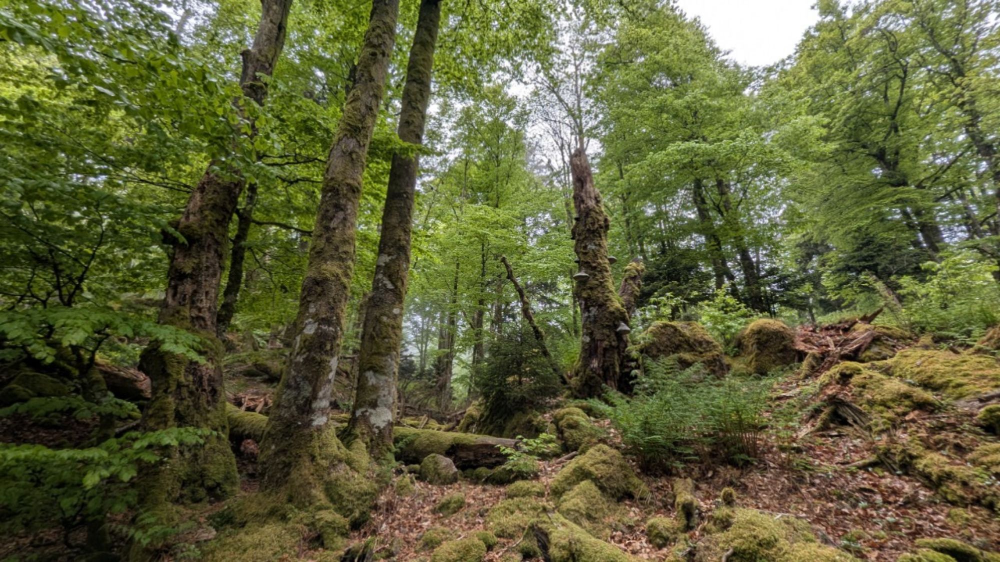
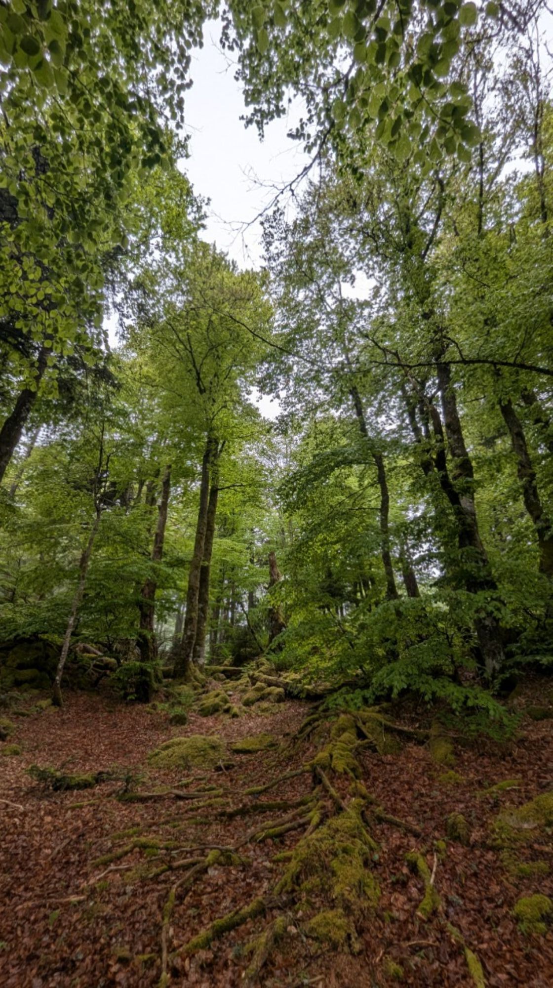
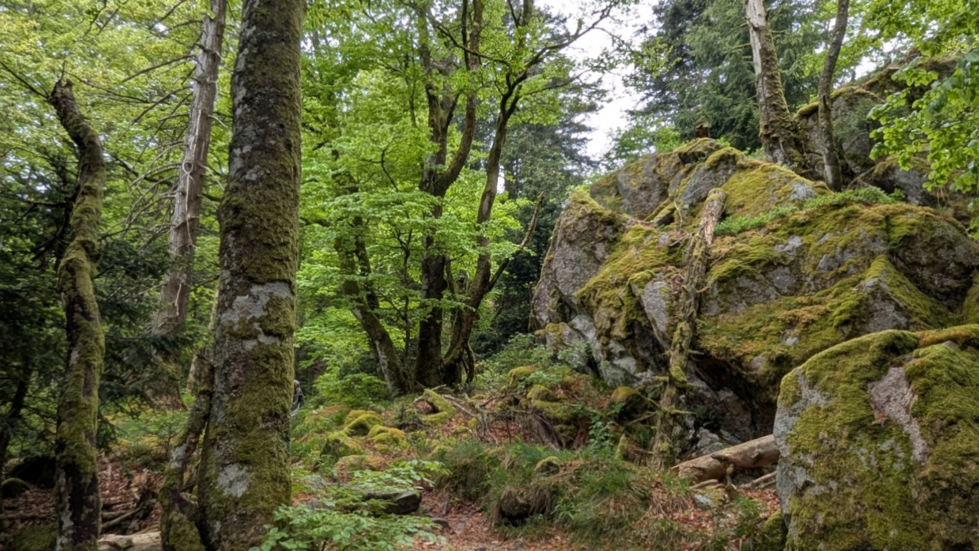
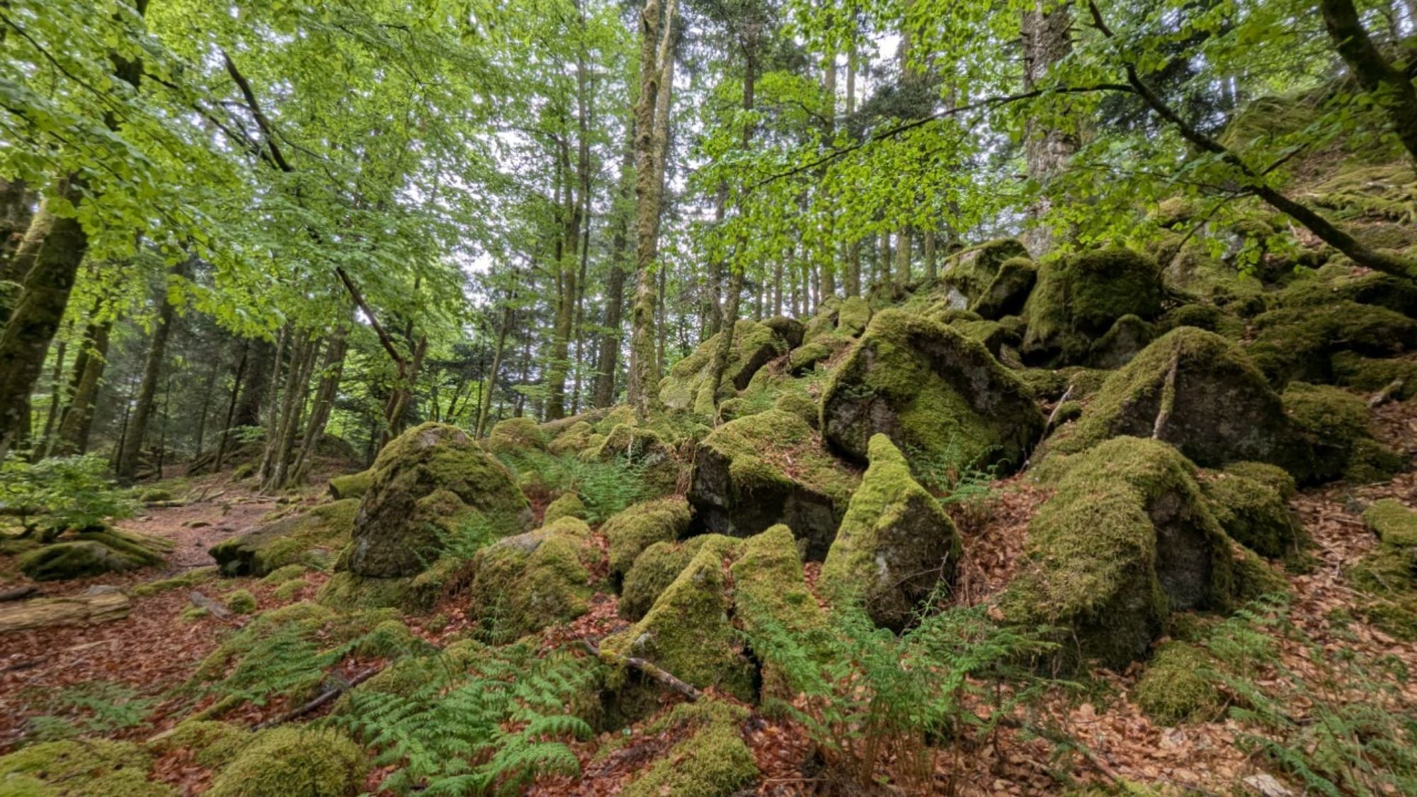
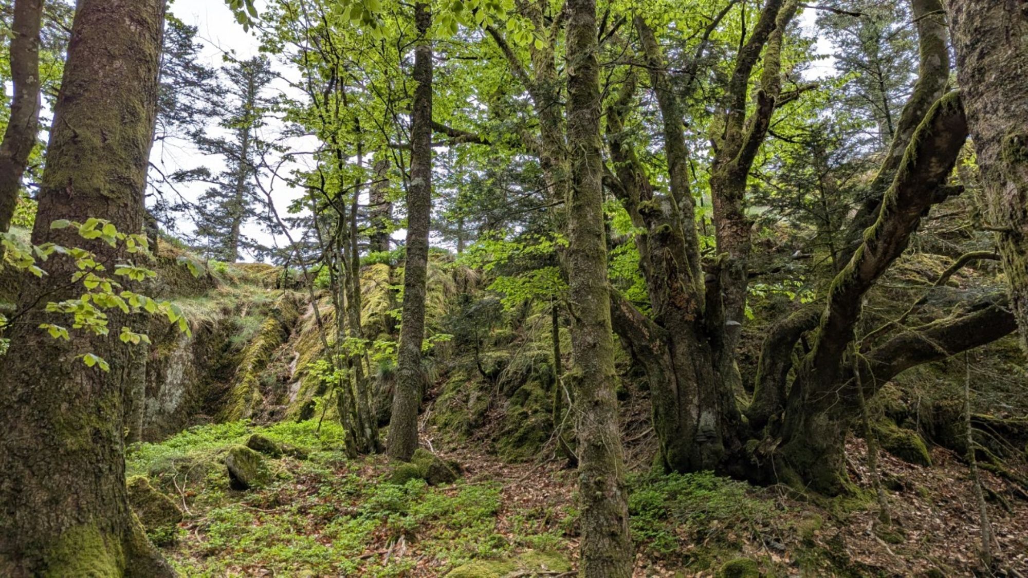
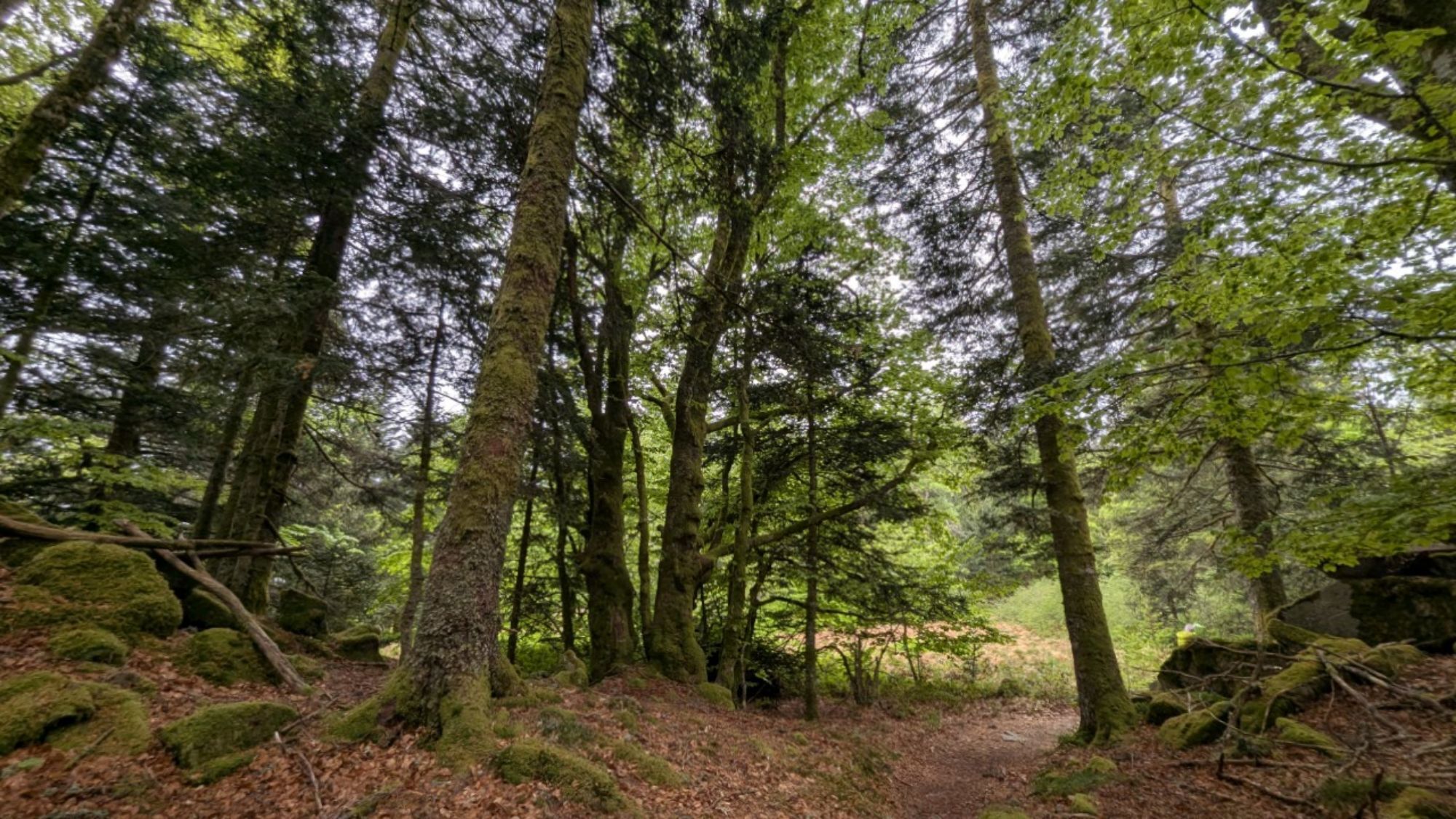
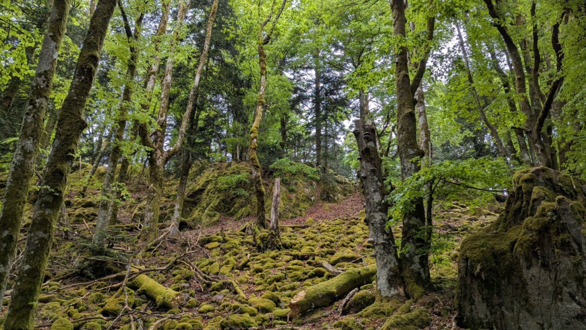

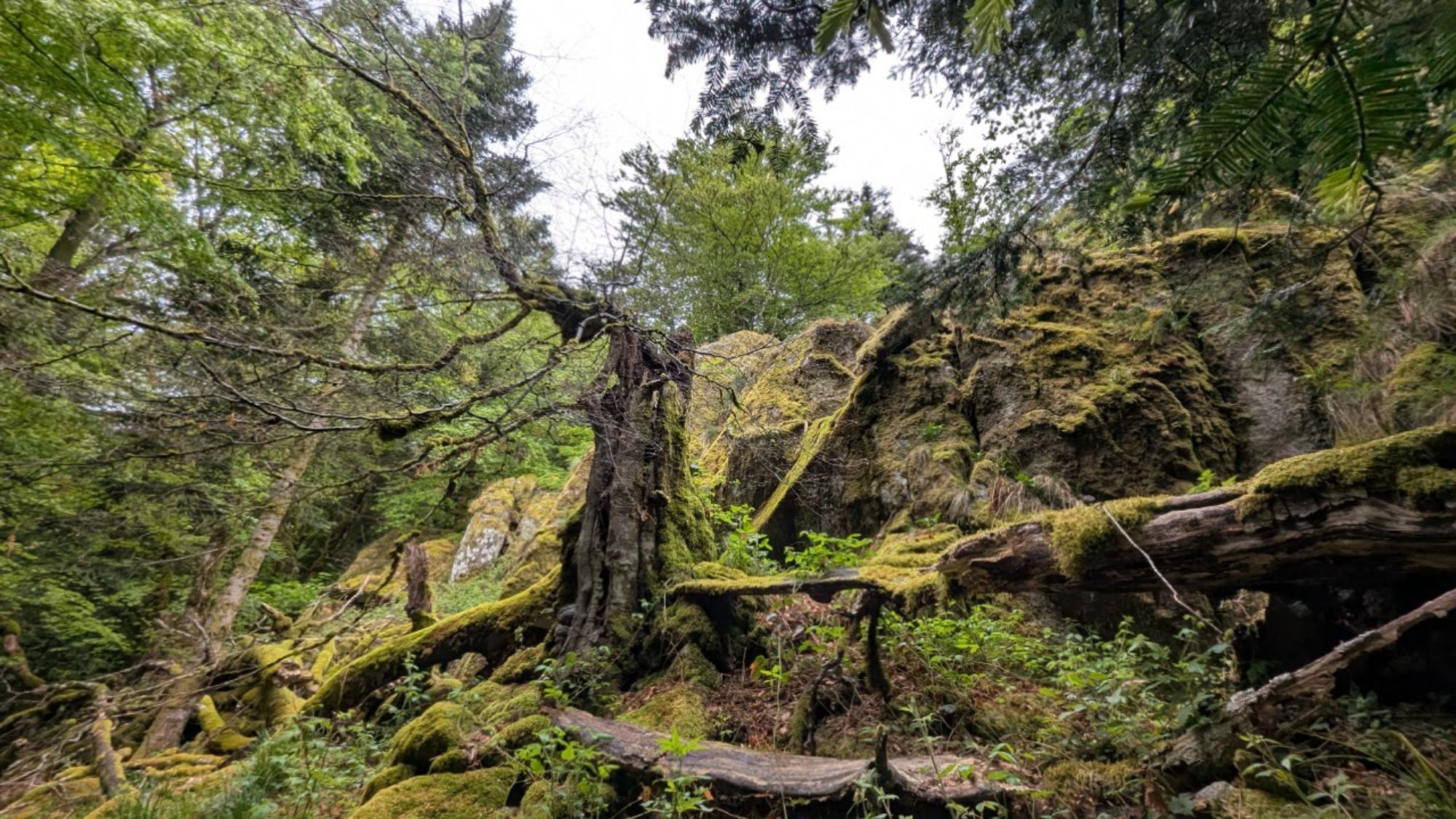
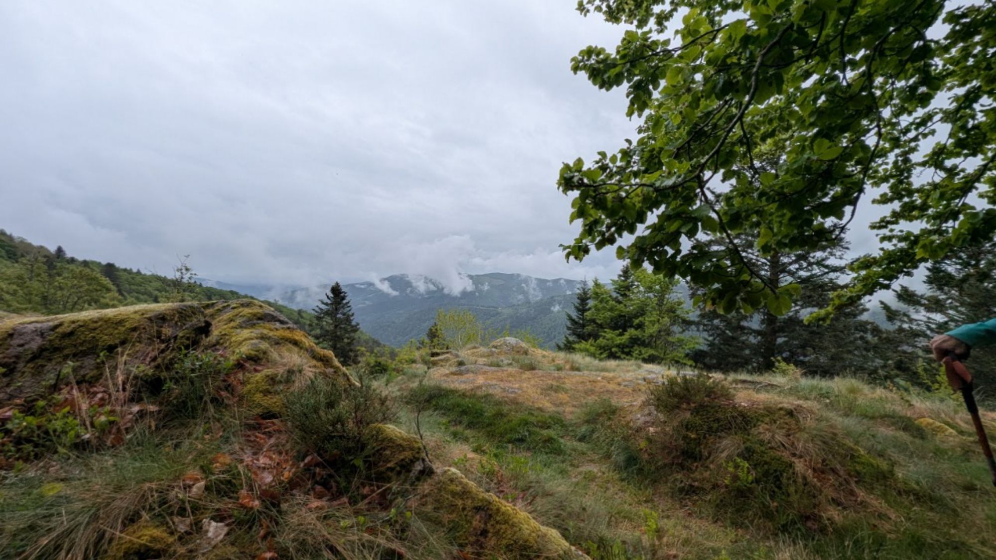
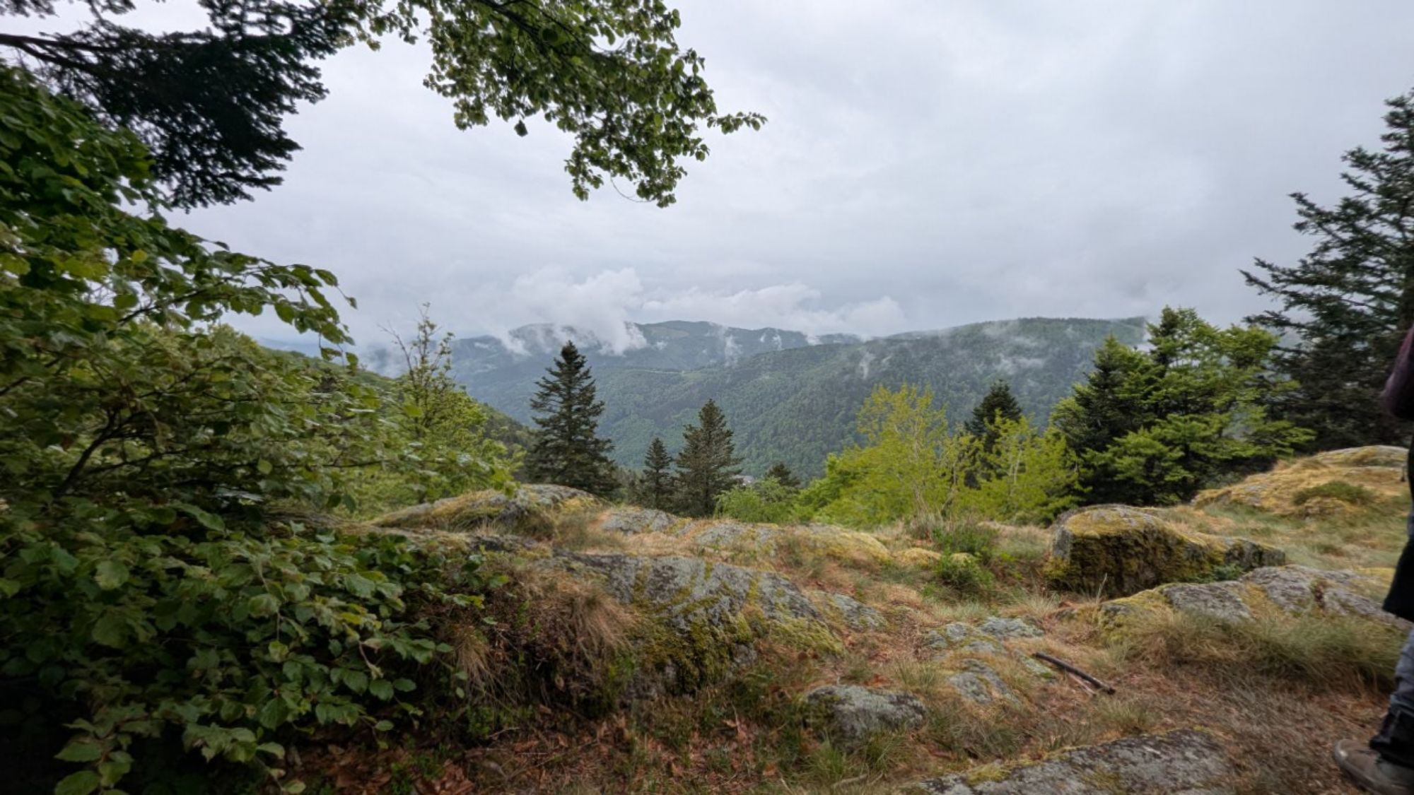
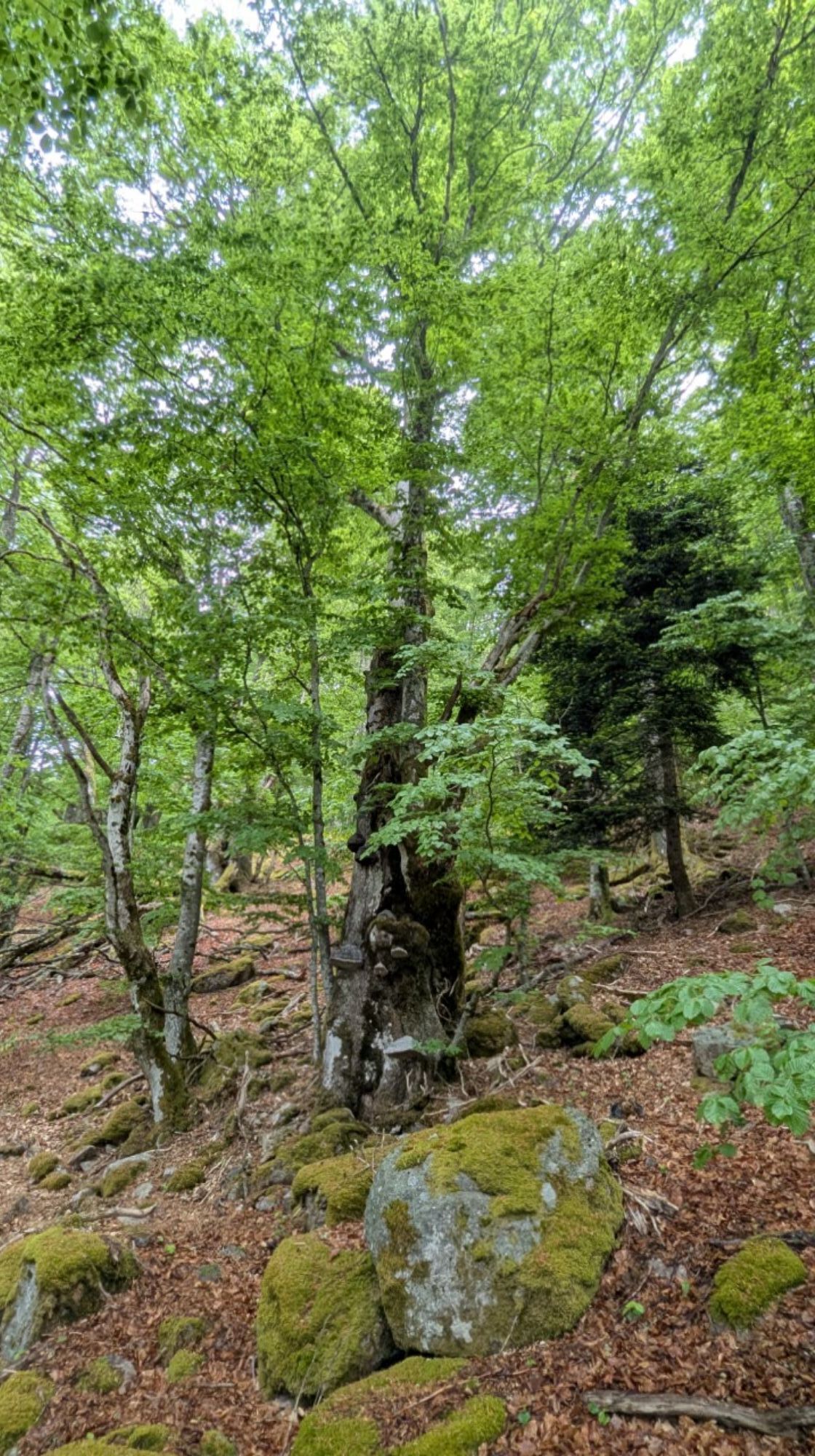
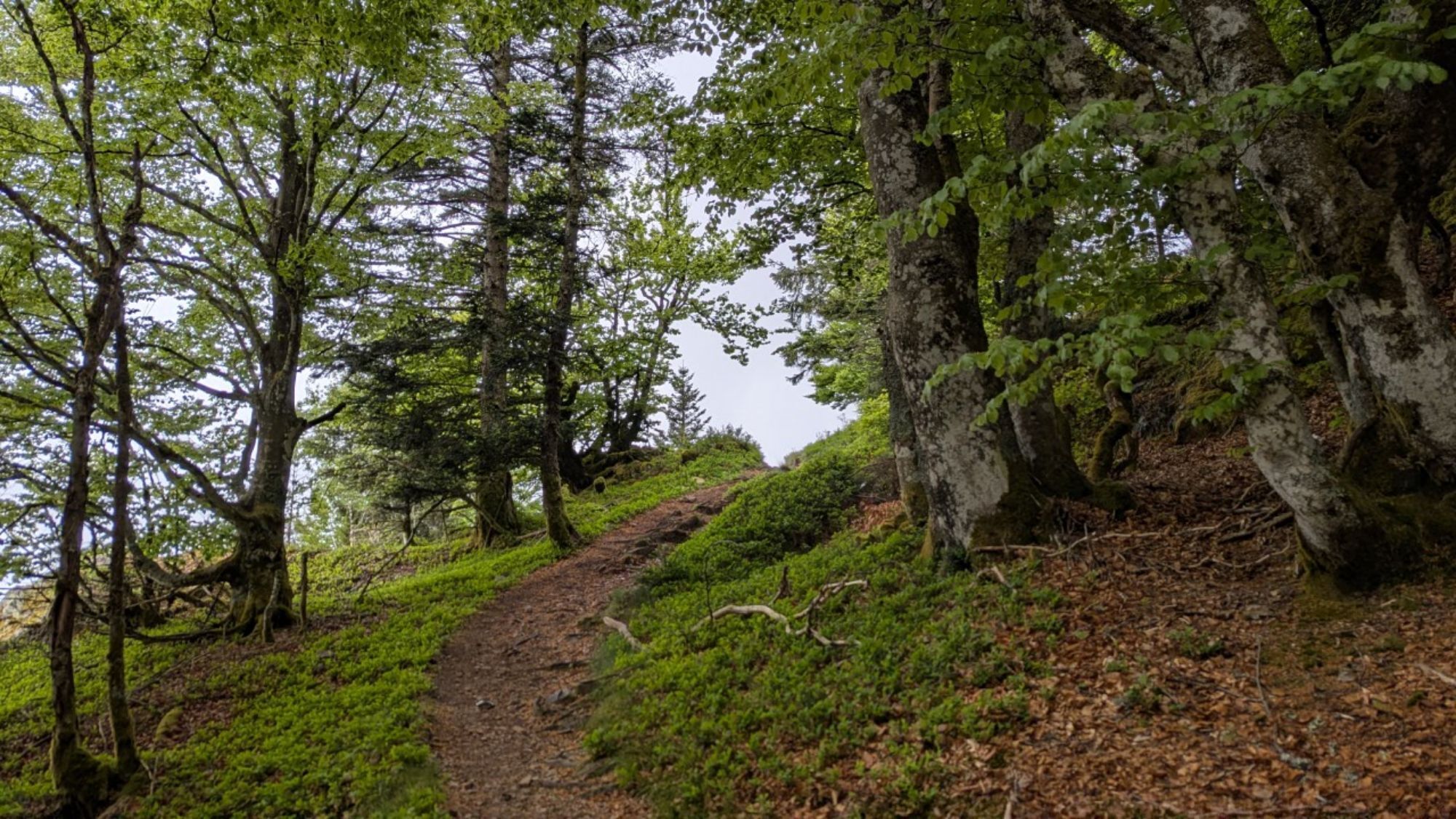
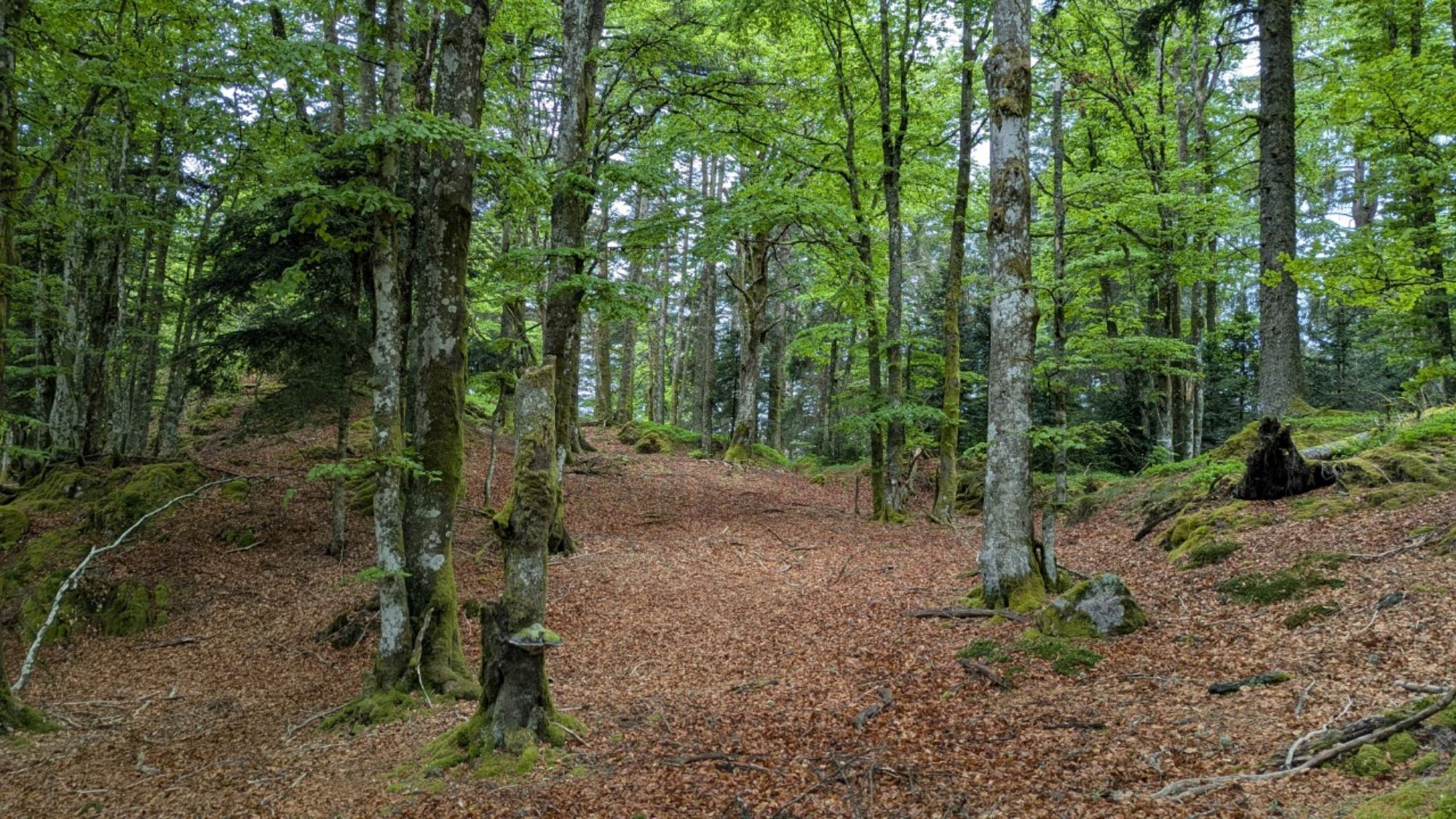
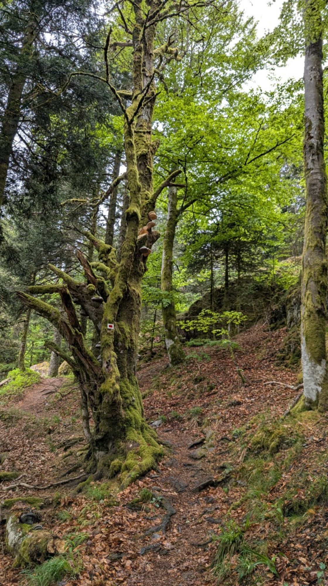
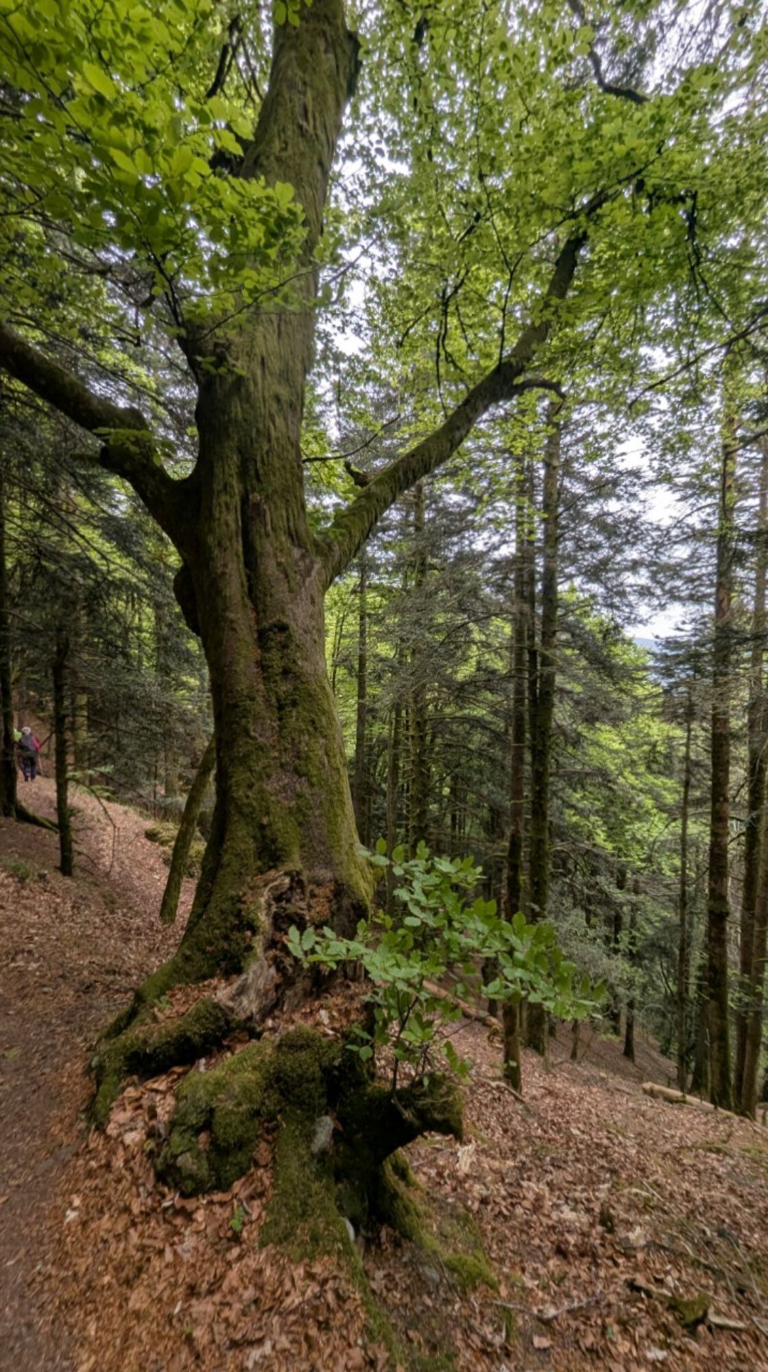
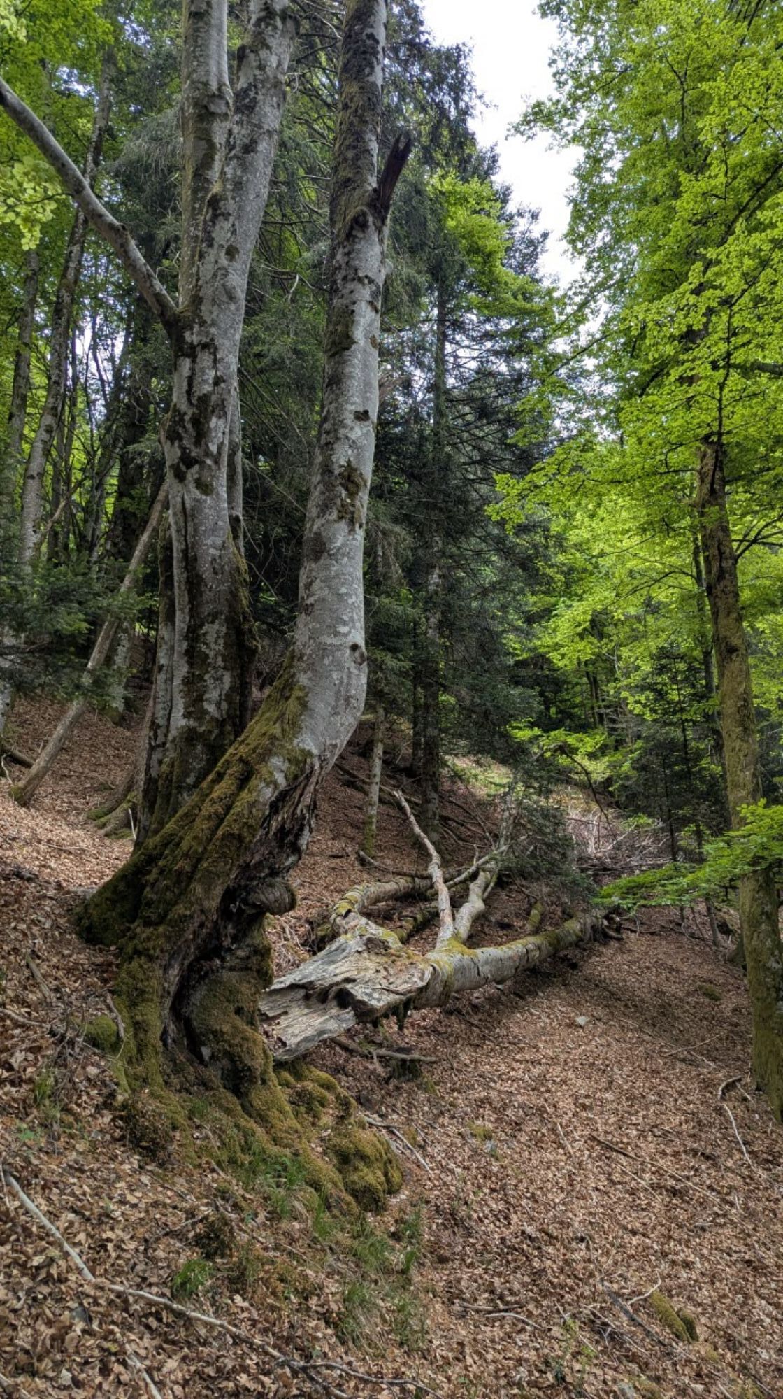
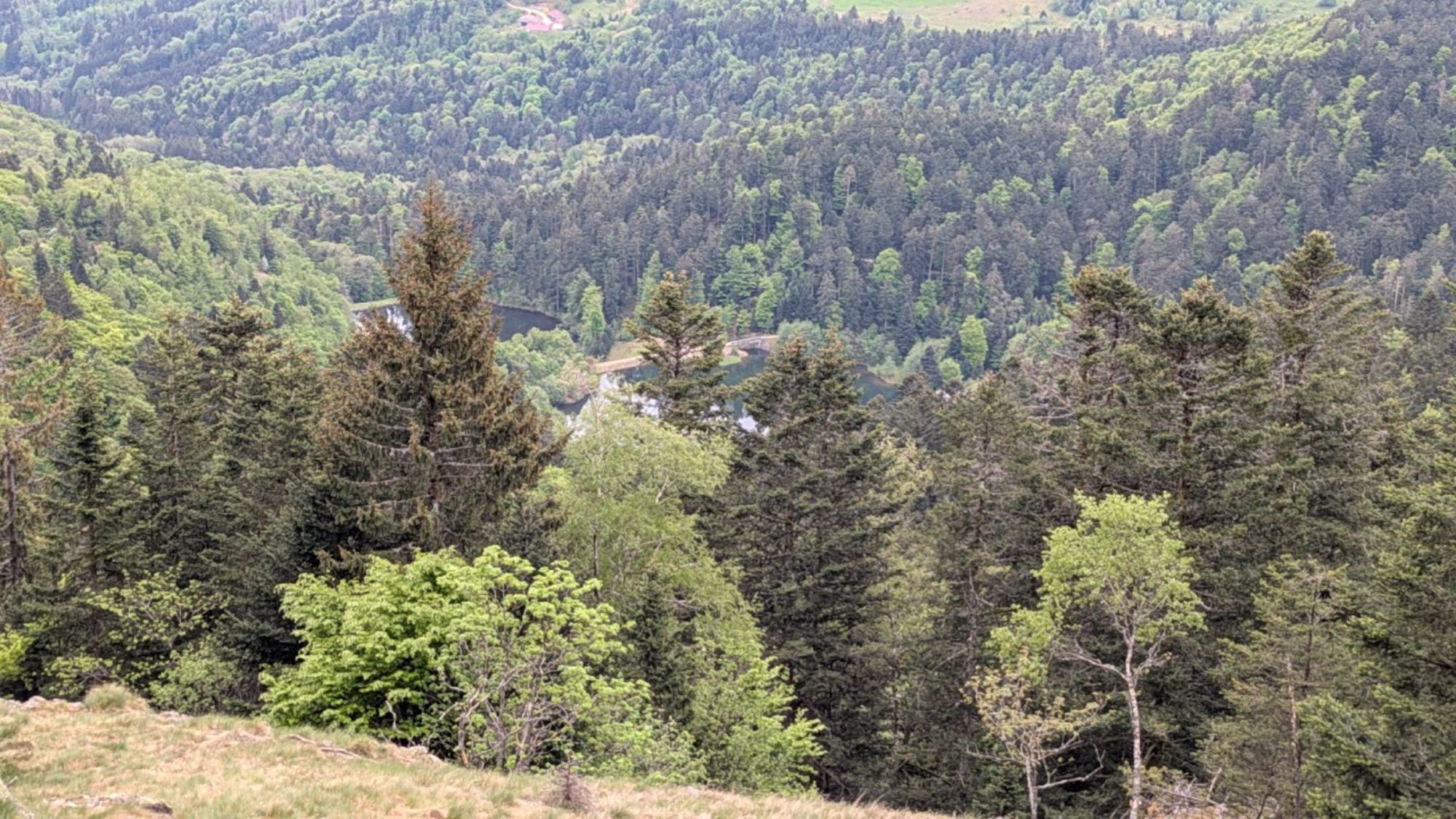
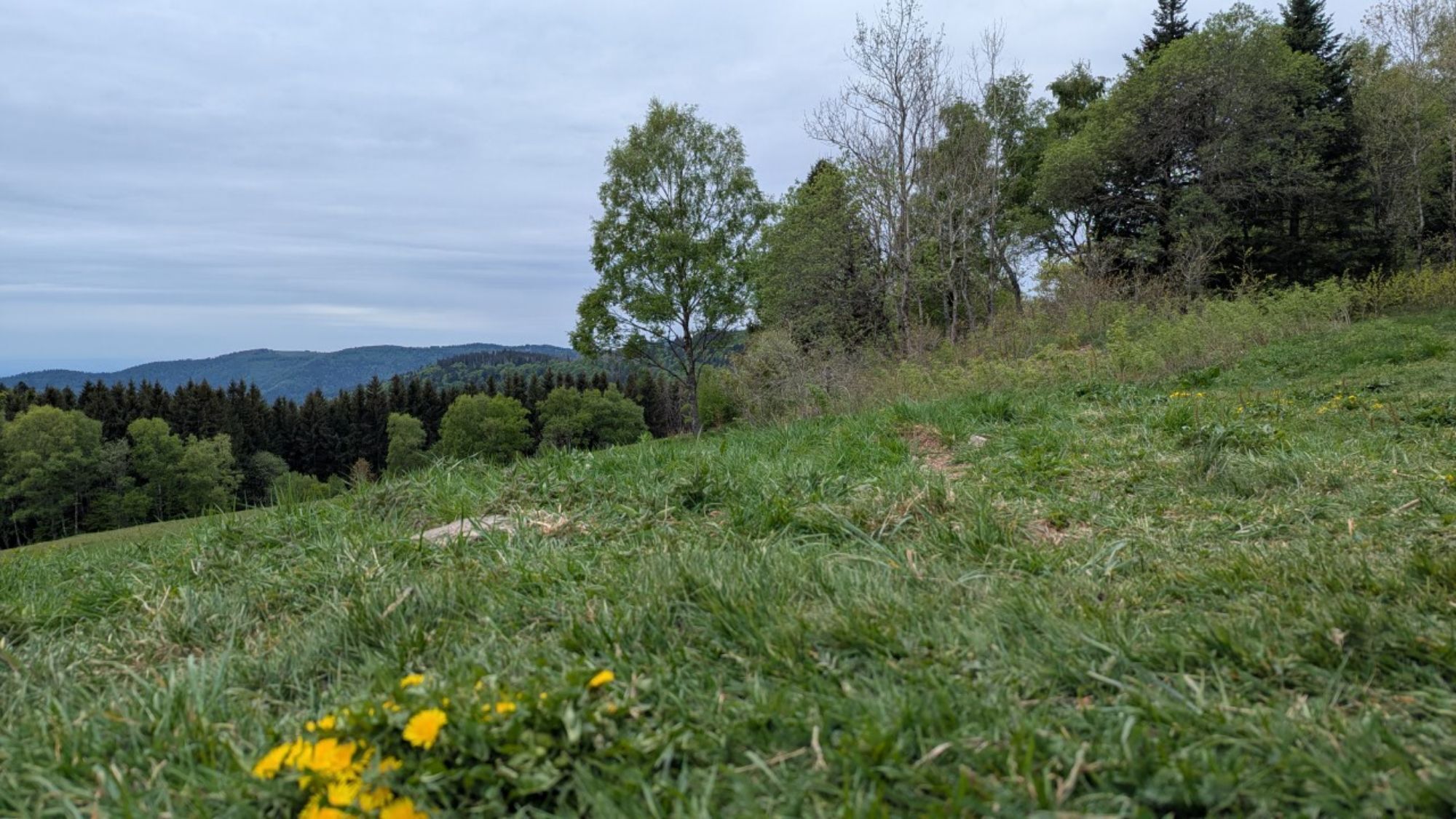
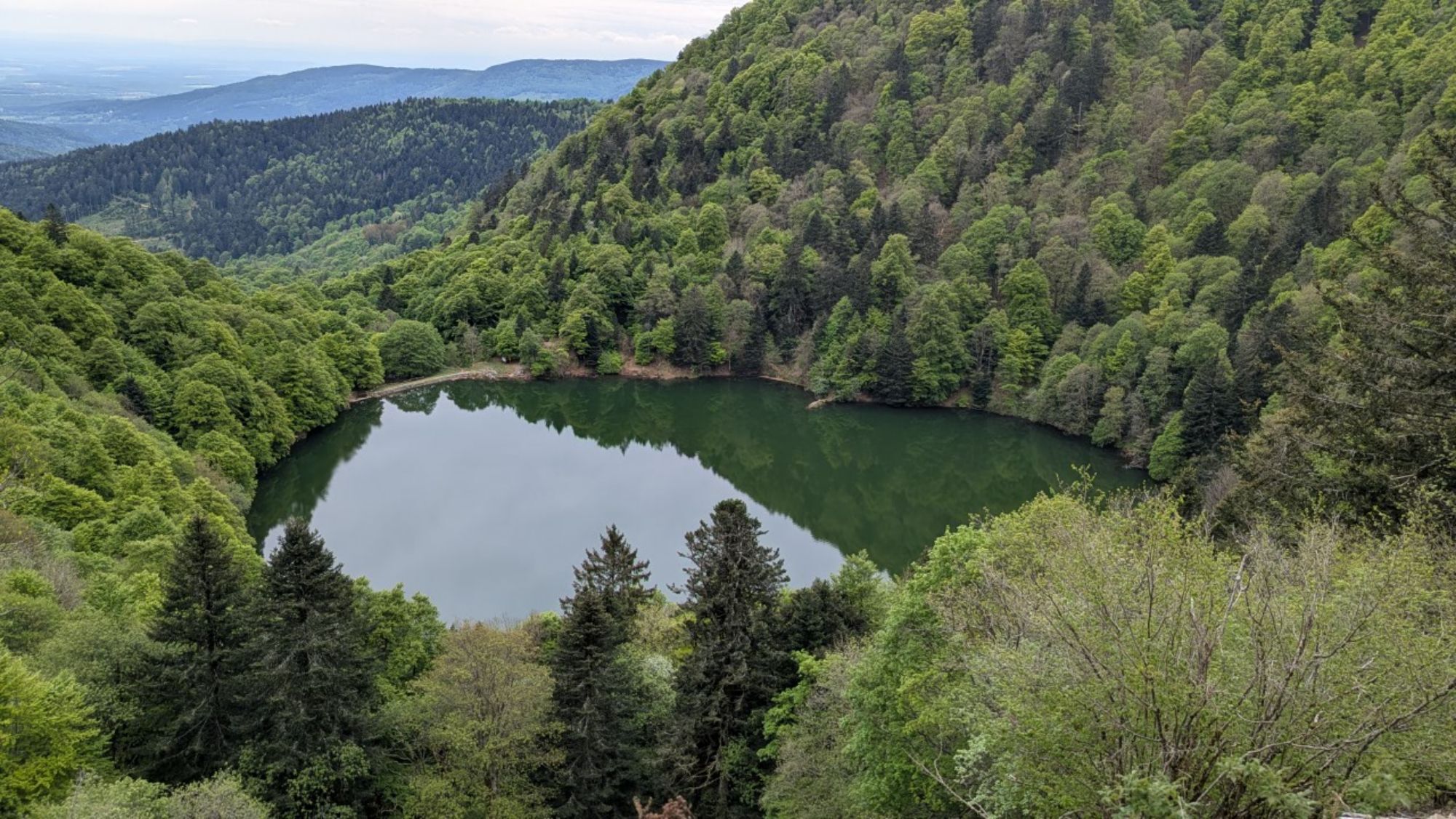
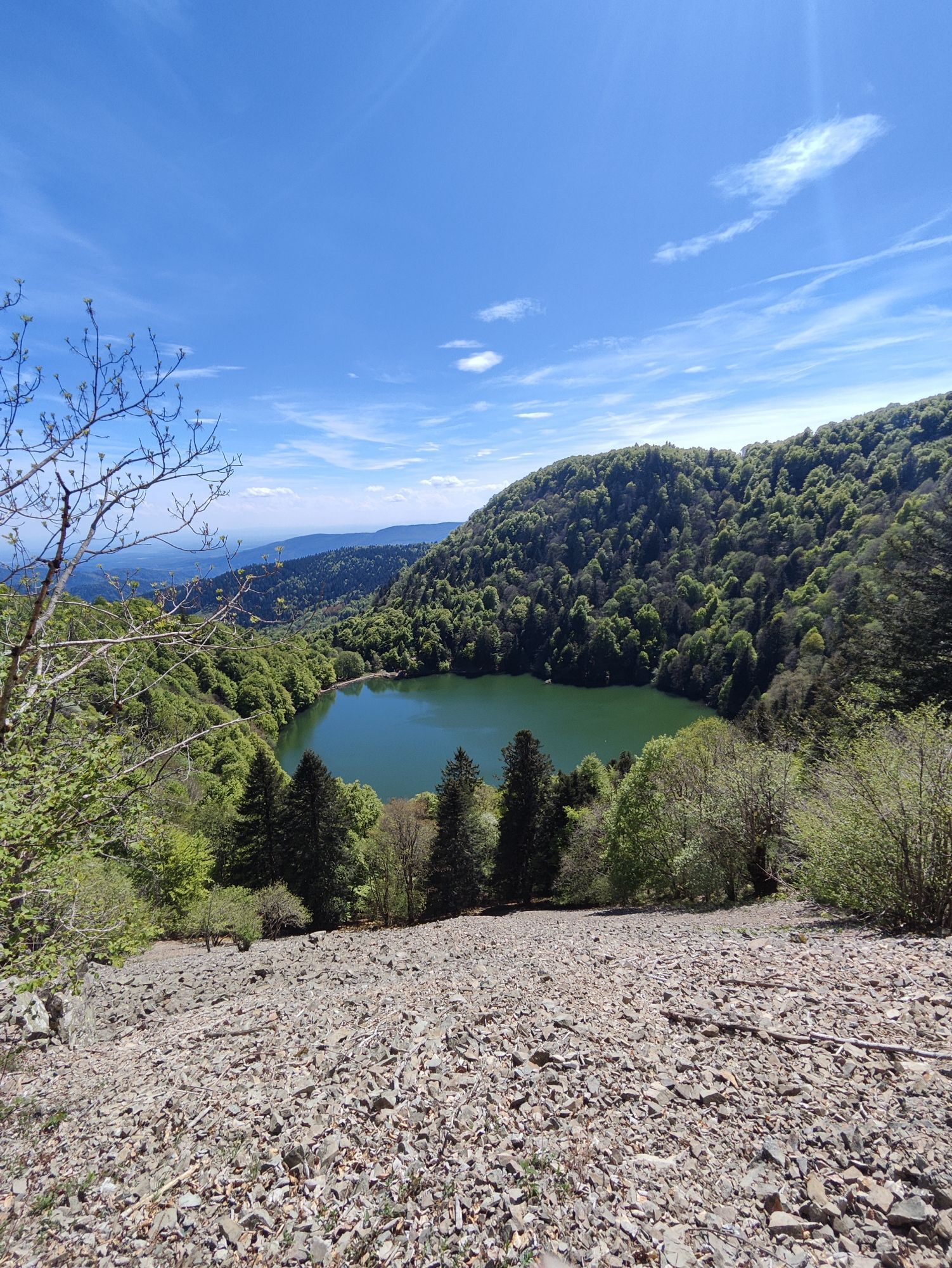
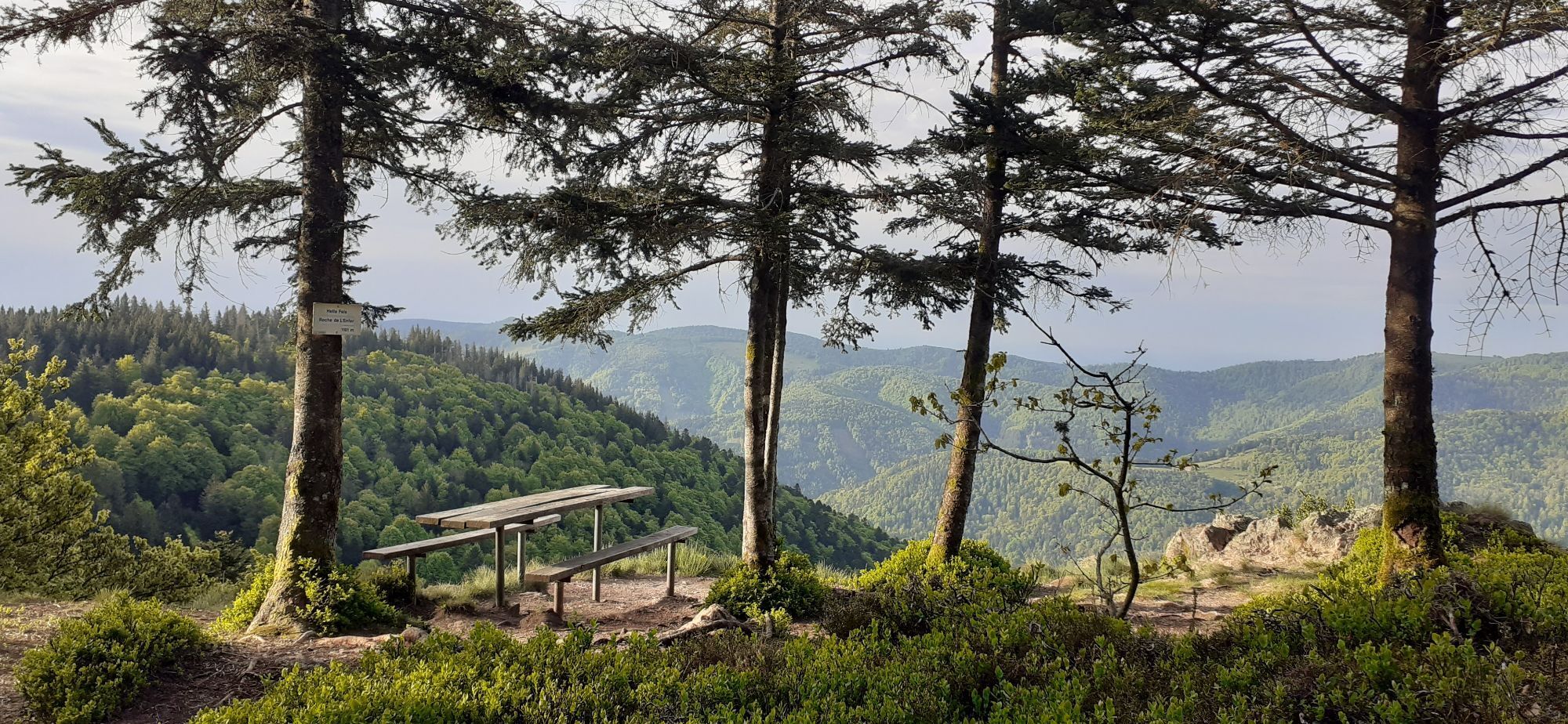
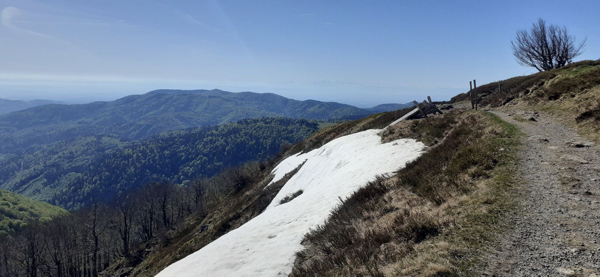
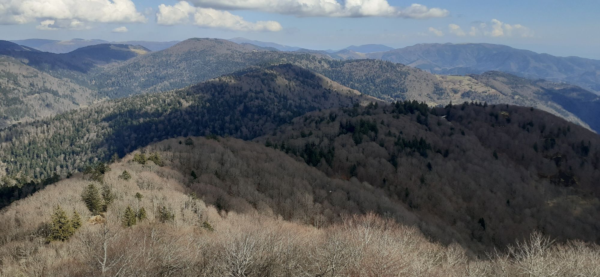
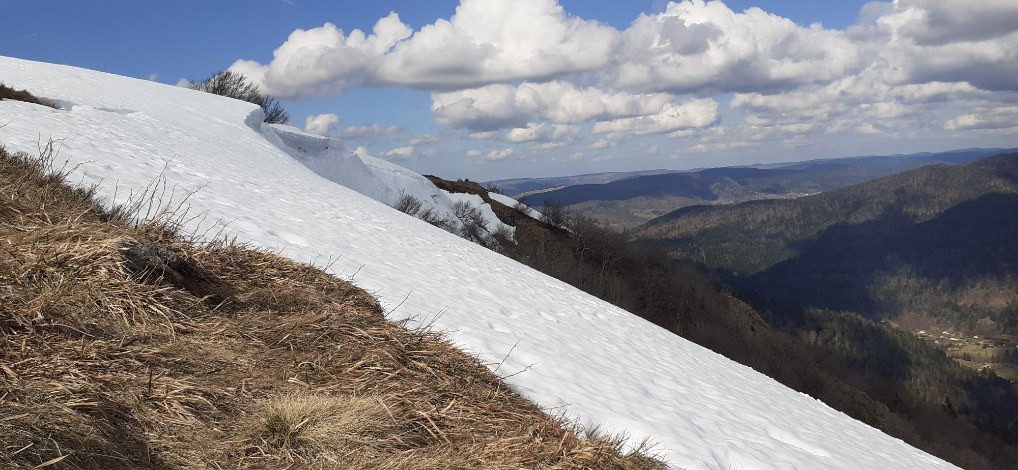
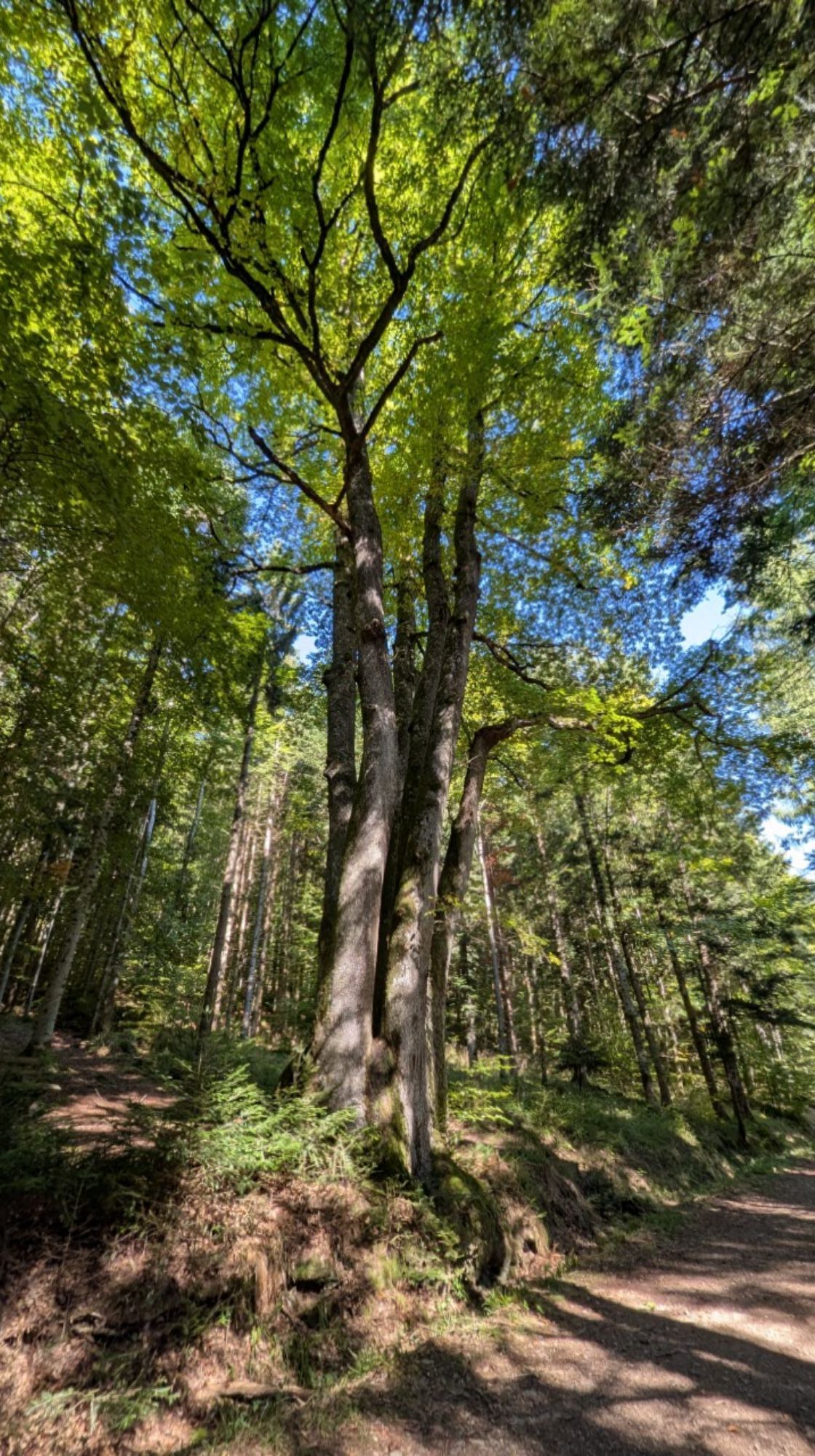
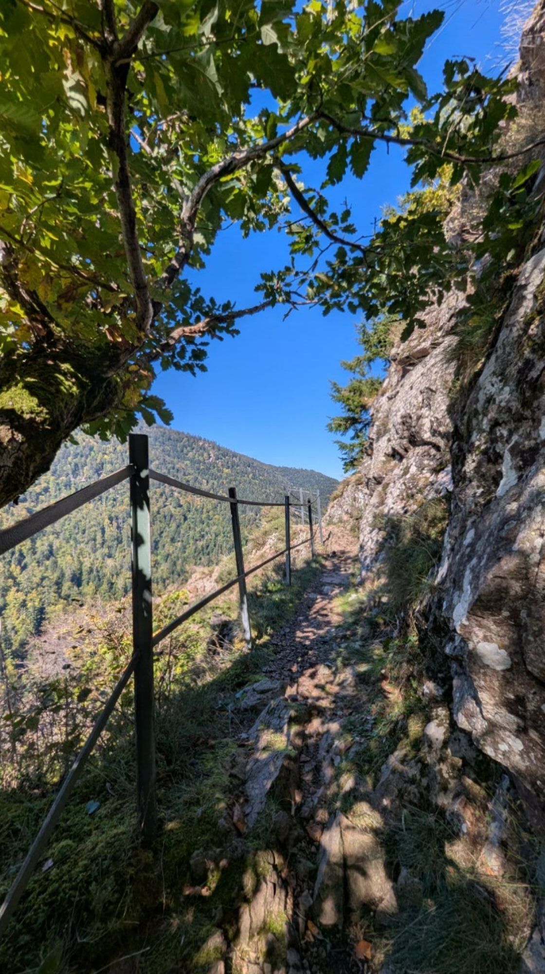
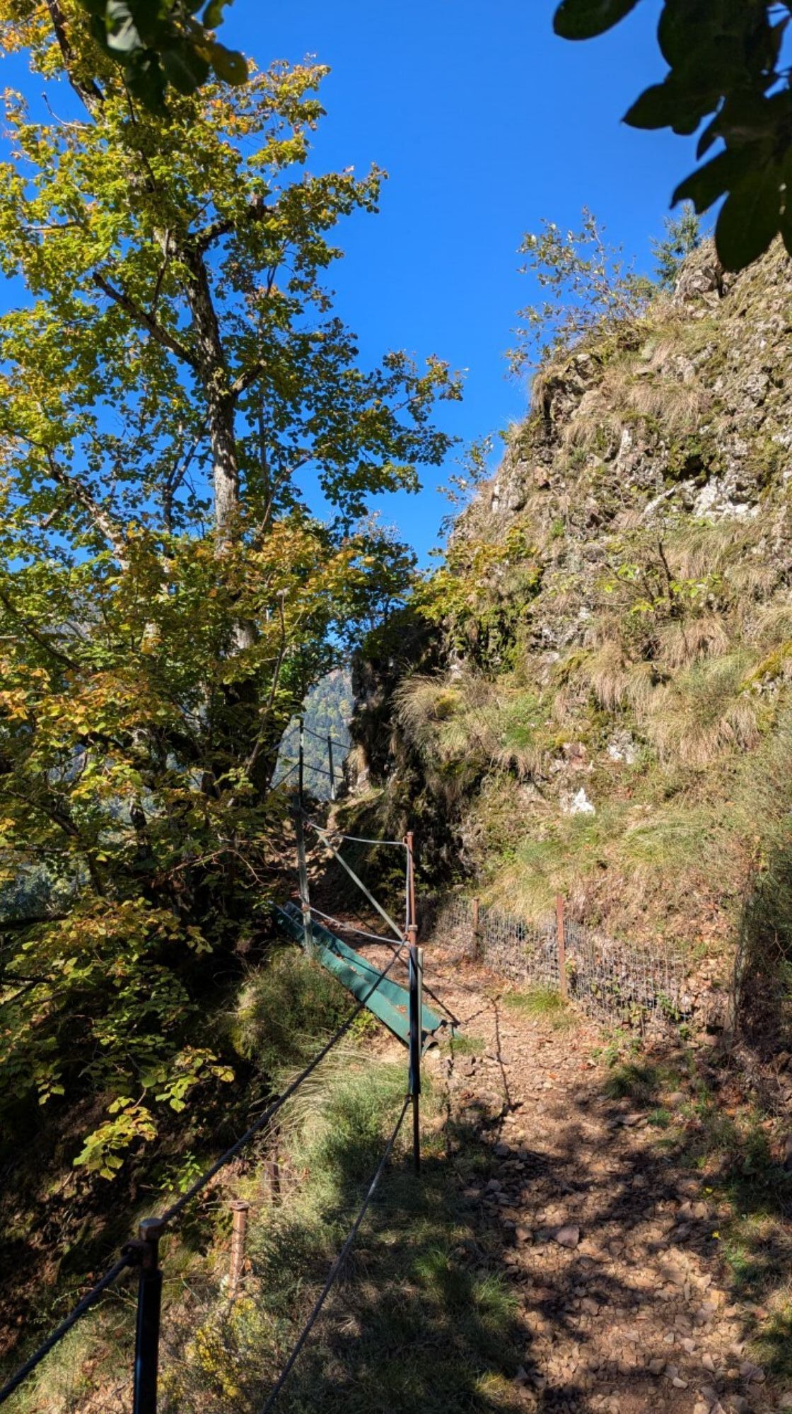
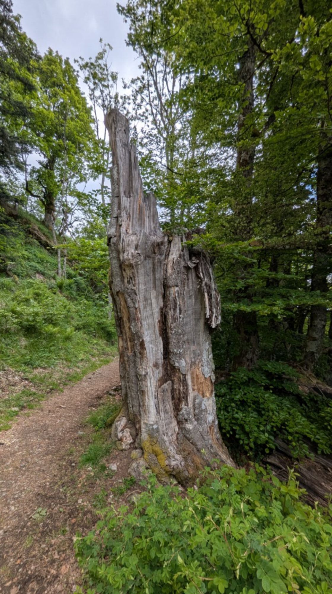
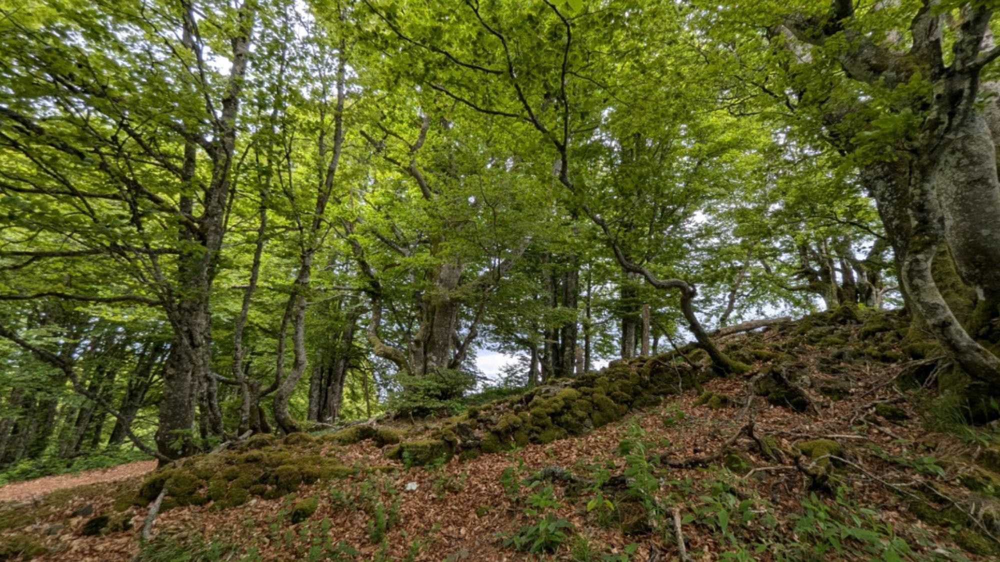
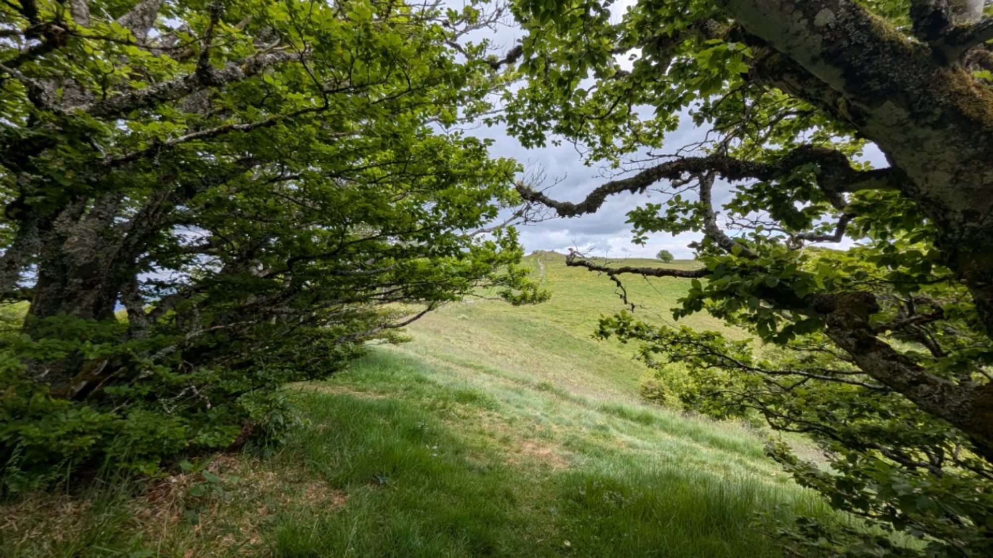
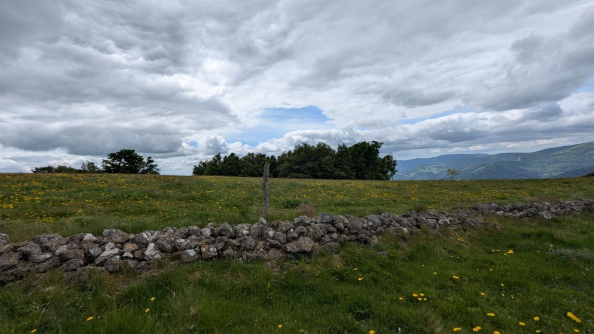
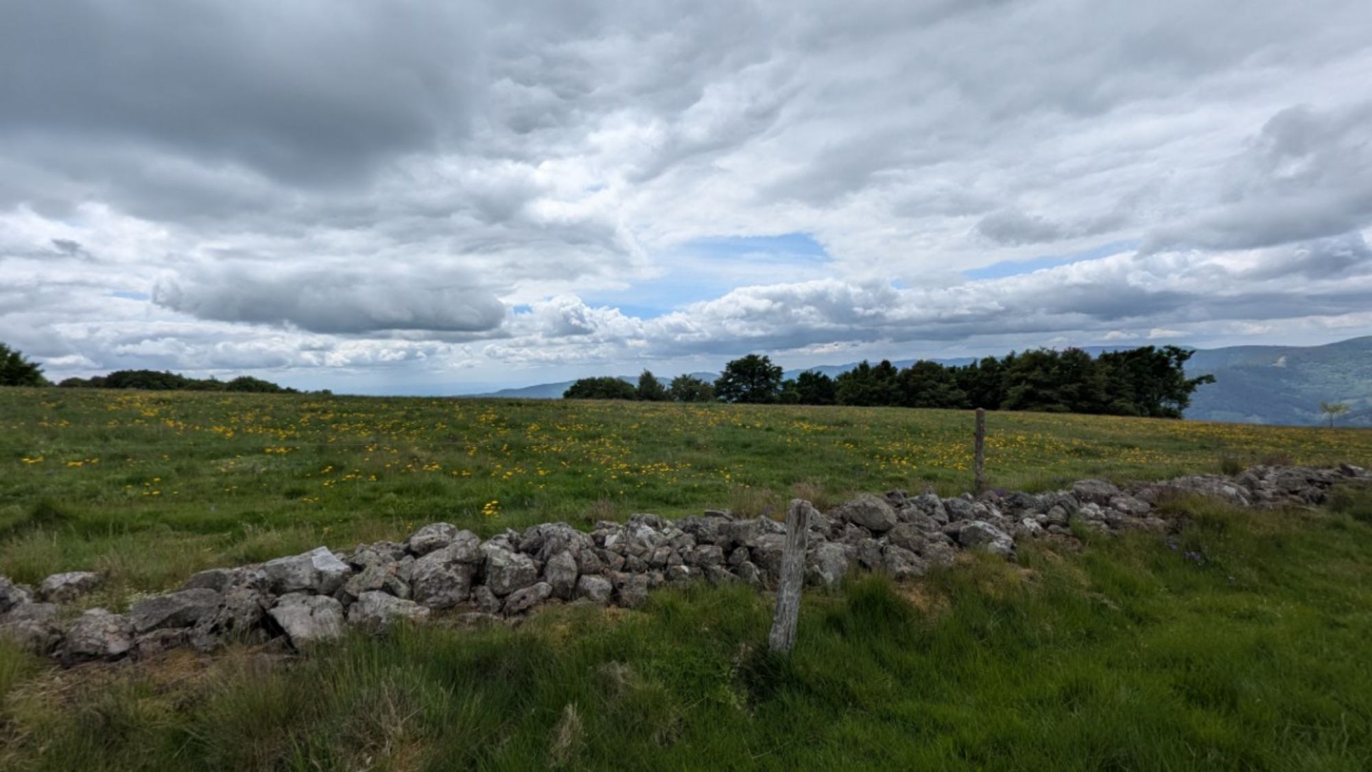
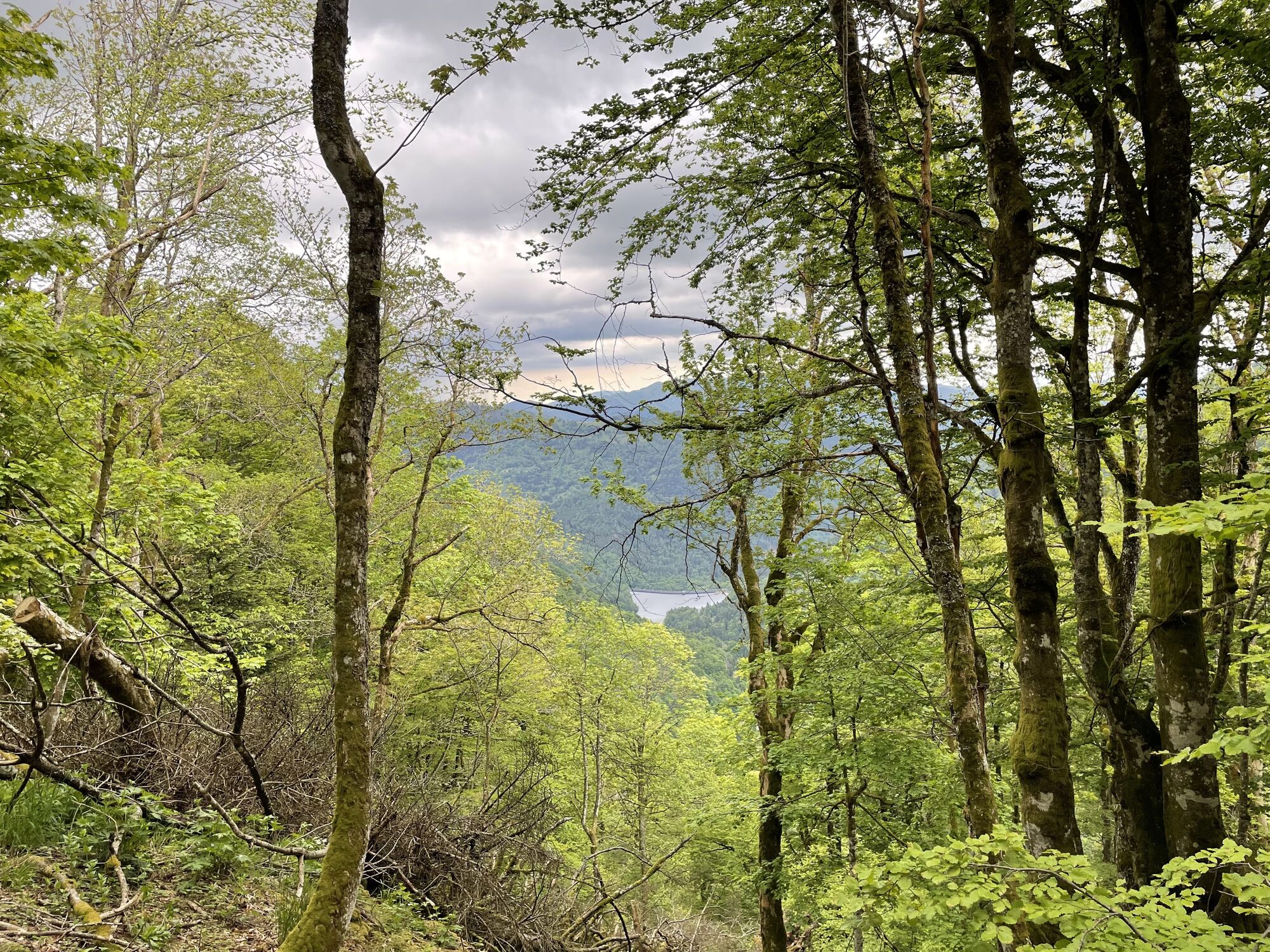
On the way: many refuges, the magnificent lac des Perches, the Ballon d'Alsace and its panoramic view over the Vosges, Jura and the Alps, the Saut de la Truite, the lac de Malsaucy.

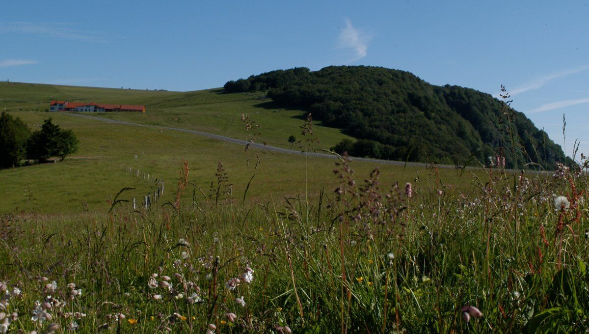

Follow the GR5 (red rectangle marking) between Thann and the Ballon d'Alsace
Stages:
1 Ballon d'Alsace
2 Giromagny
3 Belfort.
Ano
Clothing suitable for the season and conditions (cold, hot, humid, etc.)
Hiking shoes adapted to the terrain (even for children!)
Hiking poles (useful for stability and to relieve joints)
Mobile phone and spare battery
Before leaving:
Check the general and local weather, ensuring no precipitation
Get information on the approach walk, height of the route, travel time, possible escape routes (IGN map, GPS, guidebook, etc.)
Assess possible risks by consulting mountain professionals, refuge, lodgings
Inform a close person of your plan and contact them in case of change: departure and return times, number of participants with each one's phone number, vehicle(s), parking
Avoid going alone, use equipment compliant with the activity, properly adjusted and in good condition, headlamp, complete first aid kit, survival blanket, etc.
In case of problem
Alert: call 112 (European emergency number)
5 key points to convey your alert:
Where? municipality, location, route, altitude
Who? identity, phone number
What? type of accident, number of victims, severity, fall dynamics
When? time of accident
Weather? wind, visibility
T3
Thann-Cernay Tourist Office www.hautes-vosges-alsace.fr
Doller and Soultzbach Valley Tourist Office www.hautes-vosges-alsace.fr
Community Tourist Office of the Ballons des Hautes-Vosges www.ballons-hautes-vosges.com
Belfort Tourism www.belfort-tourisme.com
Oblíbené prohlídky v okolí
- 5.0
Discovery trail circuit at the Ballon d'Alsace
středníTuristika 2.69 km The Thannerhubel at Bourbach-le-Haut
středníTuristika 7.32 kmCrossing of the Vosges Massif - Stage 17 - Thann - Ballon d'Alsace
heavydálková pěší trasa 27.8 kmFarm-Auberge Grand Langenberg walk "Towards the wild forests of the Ballon d'Alsace"
středníTuristika 6.93 kmWalk at Bruckenwald Farmhouse Inn "On the old border"
středníTuristika 6.41 kmCrossing of the Vosges Massif - Stage 19 - Giromagny - Belfort
střednídálková pěší trasa 21.9 kmGsang Farmhouse-Inn route: "A unique pastoral landscape in the Vosges"
středníTuristika 6.08 km- 5.0
HIKING - THE STATUE OF SAINTE BARBE VIA THE ROCHES DU SABBAT
středníTuristika 10.1 km Crossing of the Vosges Massif - Stage 18 - Ballon d'Alsace - Giromagny
střednídálková pěší trasa 11.6 kmWalk Farm-Auberge Baerenbach "Along the three streams"
středníTuristika 4.78 km
Pěší turistika a stopování


Nenechte si ujít nabídky a inspiraci pro vaši příští dovolenou
Vaše e-mailová adresa byl přidán do poštovního seznamu.





