







Salm and the two ponds

From Schirmeck, head for Grandfontaine before reaching Etang du Coucou. Get back on your bike for a ride through Salm, then Les Quelles. Then return to Schirmeck on the Bruche Valley cycle route.


1 -From Schirmeck to La BroqueFrom the tourist office (at your back), cross the Grand'Rue and go straight up the Avenue de la Gare. At the end of the avenue, in front of the station, turn left. Follow the road for 300 m. At the intersection with the D392, turn right, direction COL DU DONON - GRANDFONTAINE. You will pass over the railroad line. Take the third left onto "rue de la Roche" (opposite the Romain restaurant), signposted in red.
2-From La Broque to Framont
For this stage, follow the red signpost - red cross - red disk. Continue straight ahead on rue de la Roche, then on the forestry road. Continue for 2.5 km and pass through the hamlet of Vacquenoux, at the end of which you must continue on a forest track. After 1.5 km, you'll pass the Brasserie de Framont (an old industrial building on your left) and come to a junction of asphalt roads.
3-L'étang du Coucou
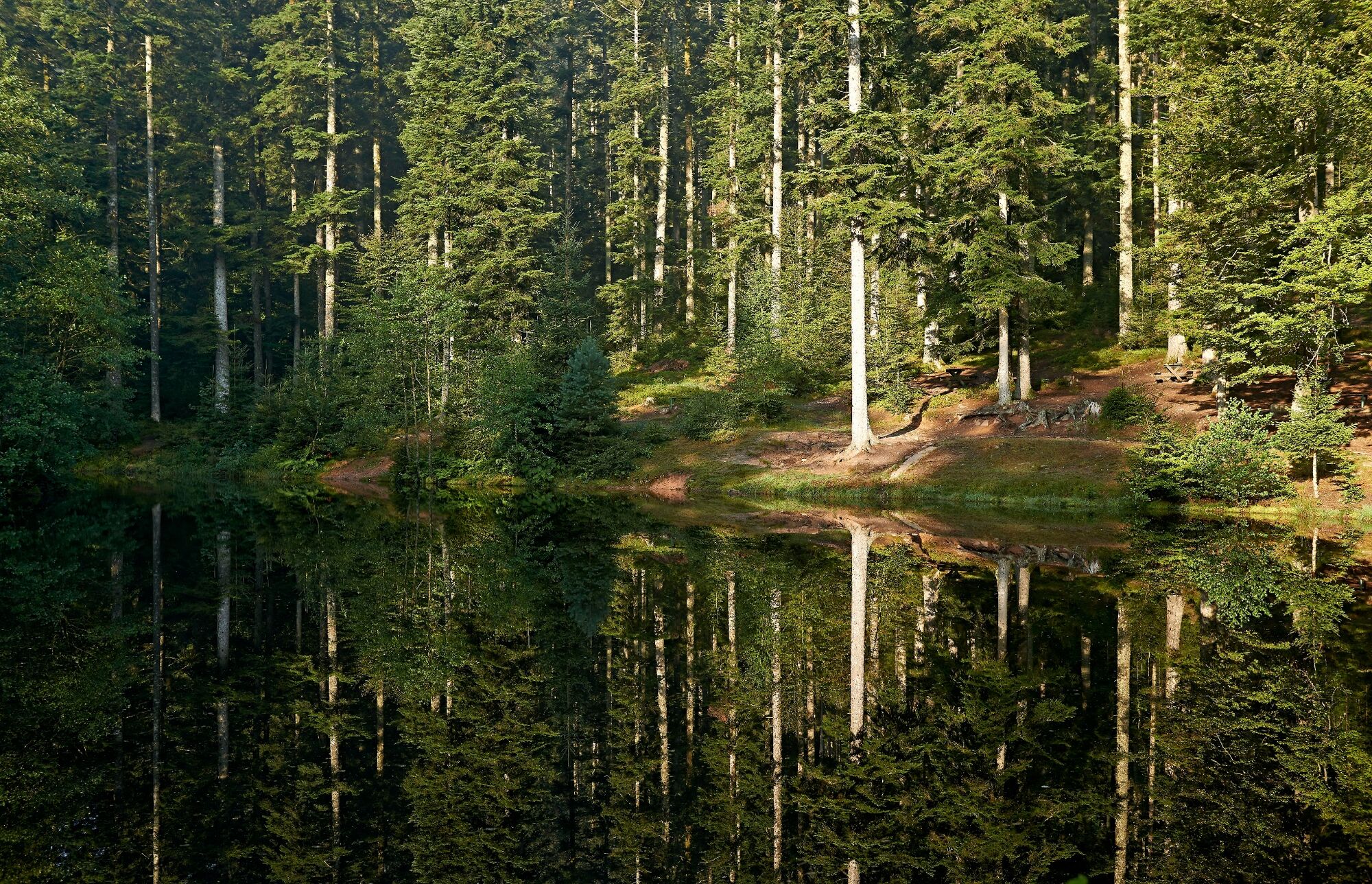
Turn left into Rue du Haut Fourneau and keep going straight up, following the road for 5 km to Etang du Coucou.
4-The Salm plateau and Malplaquet farm
In front of the pond, follow the road uphill to the left. Take the second turning on the left (after 1.5 km), signposted yellow disk-blue disk, typical farm (ferme Kupferschmitt) on your left. Continue along the lane, which becomes a forest track. After 600 m, at the fork in the road, follow the "sentier du Patrimoine Mennonite" (signs) to the left, yellow disk markings, for 1.5 km to an isolated farm (ferme de Malplaquet).
5-The hamlet of Fréconrupt
At the crossroads, leave the Mennonite Heritage Trail and turn right, following the yellow disc signs for 2 km to the hamlet of Fréconrupt (back on a paved road). Continue 500 m straight through the hamlet.
6-Plateau de Salm and abri des Trois Planchers
Take the first right onto "chemin de la Croisette". Follow this road, keeping to the right, to join a forest track (green ring markings). After 400 m, at the crossroads, turn left (green ring - yellow rectangle). After 1 km, you'll reach a clearing.
7-Towards the crossroads before the hamlet of "Les Quelles".
Continue straight on (yellow rectangle) for 1.3 km. 50 m before the "Gros Chêne" on your right, take the path on your left (Mennonite Heritage Trail - yellow triangle). Pass through a meadow, then onto a forest track. At the intersection with the road, turn left. After 1.5 km downhill, you reach a crossroads. You can make a turn-off at the hamlet of "Les Quelles", 100 m away, by continuing straight downhill (left-hand lane).
8-L'étang de la Falle
At the crossroads, turn right in a hairpin bend towards LA FALLE. After 1.5 km, you'll pass the Bambois farmhouse/inn (on your left); don't turn off, just keep going straight ahead. 800 m further on, continue on the unpaved section, direction LA FALLE . After 2 km, you'll come back to an asphalt road marked with a yellow disc, which you should also follow for 2 km as far as the Etang de la Falle.
9-Champenay - Plaine
Continue on the asphalt road to the left for 1 km to get back down to the hamlet of Champenay. You will come to a crossroads with the D196, in the center of the hamlet, after crossing a small bridge. Turn left onto the D196, direction PLAINE. After 1.5 km, in the village of Plaine, at the intersection with the D 296 (bus stop "PLAINE - boulangerie" on the right), continue straight ahead on the D 296 towards POUTAY.
10-From Poutay to Fouday
After 2 km downhill in a valley, you reach Poutay. At the end of the descent, leave the D 296 turning right and turn left towards DIESPACH. You'll pass a bus stop on the left of the 67 "POUTAY-Ruisseau" bus network, and join the signposted cycle route. Keep to the right, the route passes through the forest and arrives after 1 km at a traffic circle near Fouday.
11-Fouday
Cross the traffic circle to take the left-hand cycle route. Turn right to enter the village. After 50 m, turn left towards SOLBACH > and pass to the left of the church. After 600 m, leave the road and turn left onto the Chemin de la Folie, signposted by the cycle path.
12-From Fouday to Rothau
Follow the signposted cycle route. After 4 km, you'll reach Rothau. Cross the D1420 (â â â â ) and turn right. You'll pass through the industrial wasteland of the former Steinheil factory and end up on the Grande Rue. Turn left to cross the railroad tracks and enter the commune of La Claquette.
13-From La Broque to Schirmeck
Continue straight ahead on rue du Général Leclerc, passing from La Claquette to La Broque. At the traffic circle, take the first exit and after 250 m, turn left just before the Parc d'Albay to follow the signposted cycle route. This passes behind the Parc d'Albay and skirts the commune of La Broque by the heightsFrom La Broque to Schirmeck
14-Return to starting point
After 1.5 km, you reach the intersection with the D 392. Leave the cycle route and turn right onto AUTRES DIRECTIONS, passing the railway tracks (same as on the outward journey) and descending towards a crossroads. Continue straight on towards STRASBOURG > . Cross the Bruche river and after 200 m, turn right to return to the tourist office (on your right), your starting point.
Helmet, drinks, clothing & protection adapted to the weather.
Circuit mainly on cycle paths, secondary roads and paved country roads suitable for VTC, no particular difficulty.
D1420 (A35-A352 from Strasbourg)
Accessibility by train: Strasbourg - St Dié - Epinal line
Place du Marché (except Wednesdays from mid-October to mid-April) or Bergopré parking lot.
Discover other routes on www.vosgeshiking.com
Oblíbené prohlídky v okolí
-
5.0
A corner of freshness... at the Hohwald waterfall
světloTuristika 5.75 km -
Hiking circuit B02: The Mutzig rock and the Porte de Pierre
středníTuristika 10.9 km -
5.0
Hiking circuit C10: The Serva waterfall
středníTuristika 8.52 km -
The GR® de Pays of the Déodatie (Northern Loop) - Grandes Echappées Vosgiennes
heavydálková pěší trasa 134.1 km -
5.0
Les Deux Donon
středníTuristika 18 km -
Crossing of the Vosges Massif - Stage 08 - Urmatt - Schirmeck
heavydálková pěší trasa 33.2 km -
Hiking circuit D04: Southern fortified positions of Donon
středníTuristika 12.0 km -
Crossing of the Vosges Massif - Stage 09 - Schirmeck - Le Hohwald
heavydálková pěší trasa 23.2 km -
Hiking circuit: Salm and the Chatte Pendue
středníTuristika 6.16 km -
Hike Mountain Inn des Cîmes (Climont Route) - Towards a 360° view
středníTuristika 6.04 km
Pěší turistika a stopování


Nenechte si ujít nabídky a inspiraci pro vaši příští dovolenou
Vaše e-mailová adresa byl přidán do poštovního seznamu.





