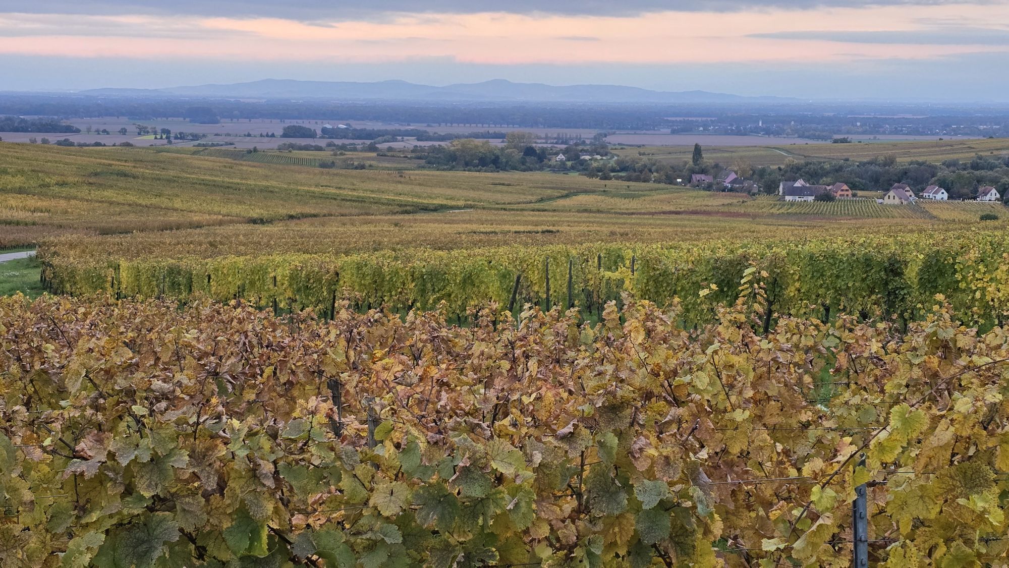
Ribeauvillé - Église de l'Invention de la Sainte-Croix - Chapelle de l'Oberhof dite Notre-Dame du Scapulaire - Chapelle Sainte-Catherine
heavy
Pořiďte si tuto prohlídku do mobilního telefonu
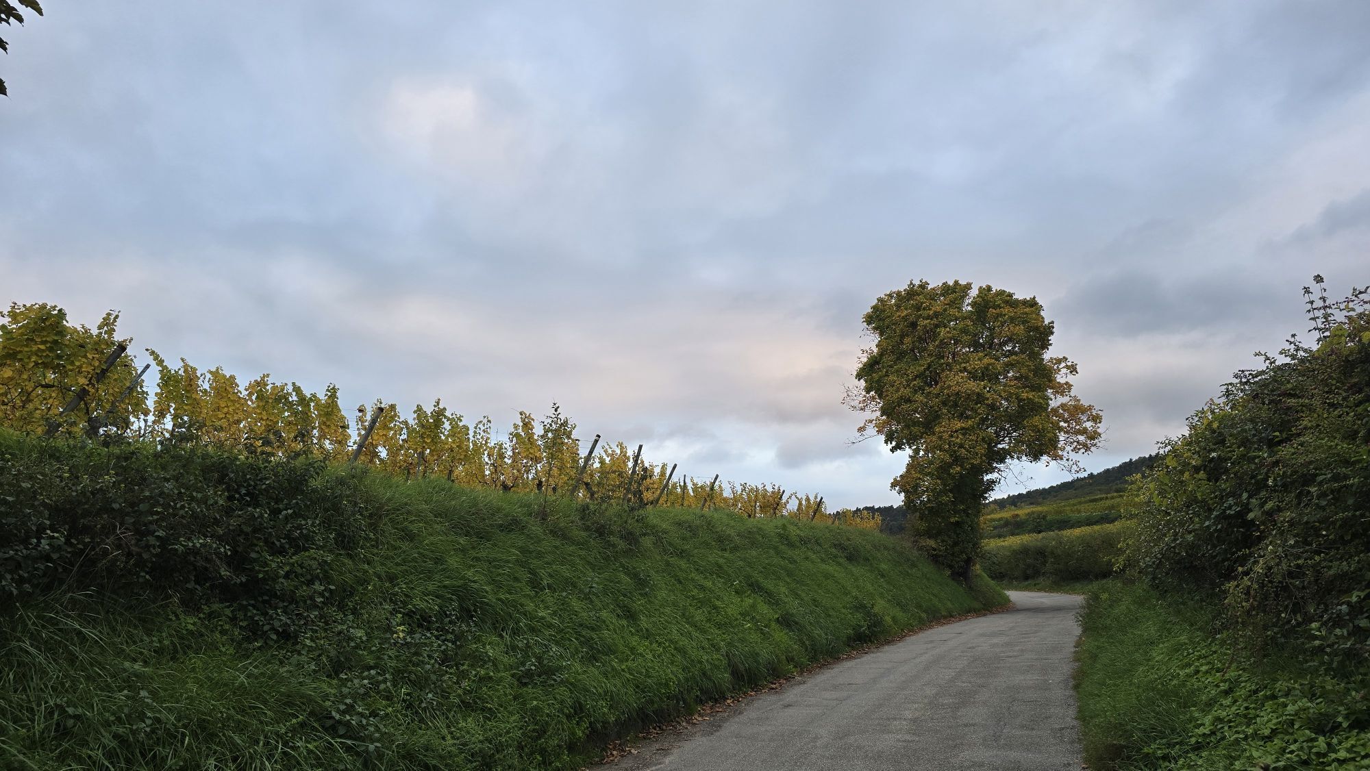
Ribeauvillé - Église de l'Invention de la Sainte-Croix - Chapelle de l'Oberhof dite Notre-Dame du Scapulaire - Chapelle Sainte-Catherine
heavy
Mountainbike
42.16
km
Naskenujte QR kód a spusťte navigaci v aplikaci bergfex.

Pěší turistika a stopování


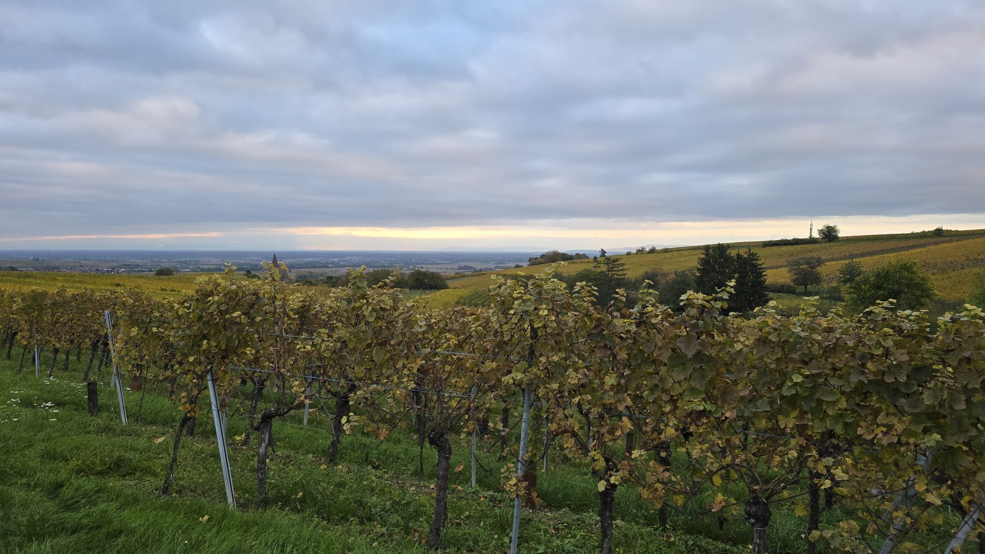
Ribeauvillé - Église de l'Invention de la Sainte-Croix - Chapelle de l'Oberhof dite Notre-Dame du Scapulaire - Chapelle Sainte-Catherine
heavy
Vzdálenost
42.16
km
Doba trvání
03:07
h
Ascent
960
hm
Hladina moře
216 -
830
m
Stažení skladby
Ribeauvillé - Église de l'Invention de la Sainte-Croix - Chapelle de l'Oberhof dite Notre-Dame du Scapulaire - Chapelle Sainte-Catherine
heavy
Mountainbike
42.16
km
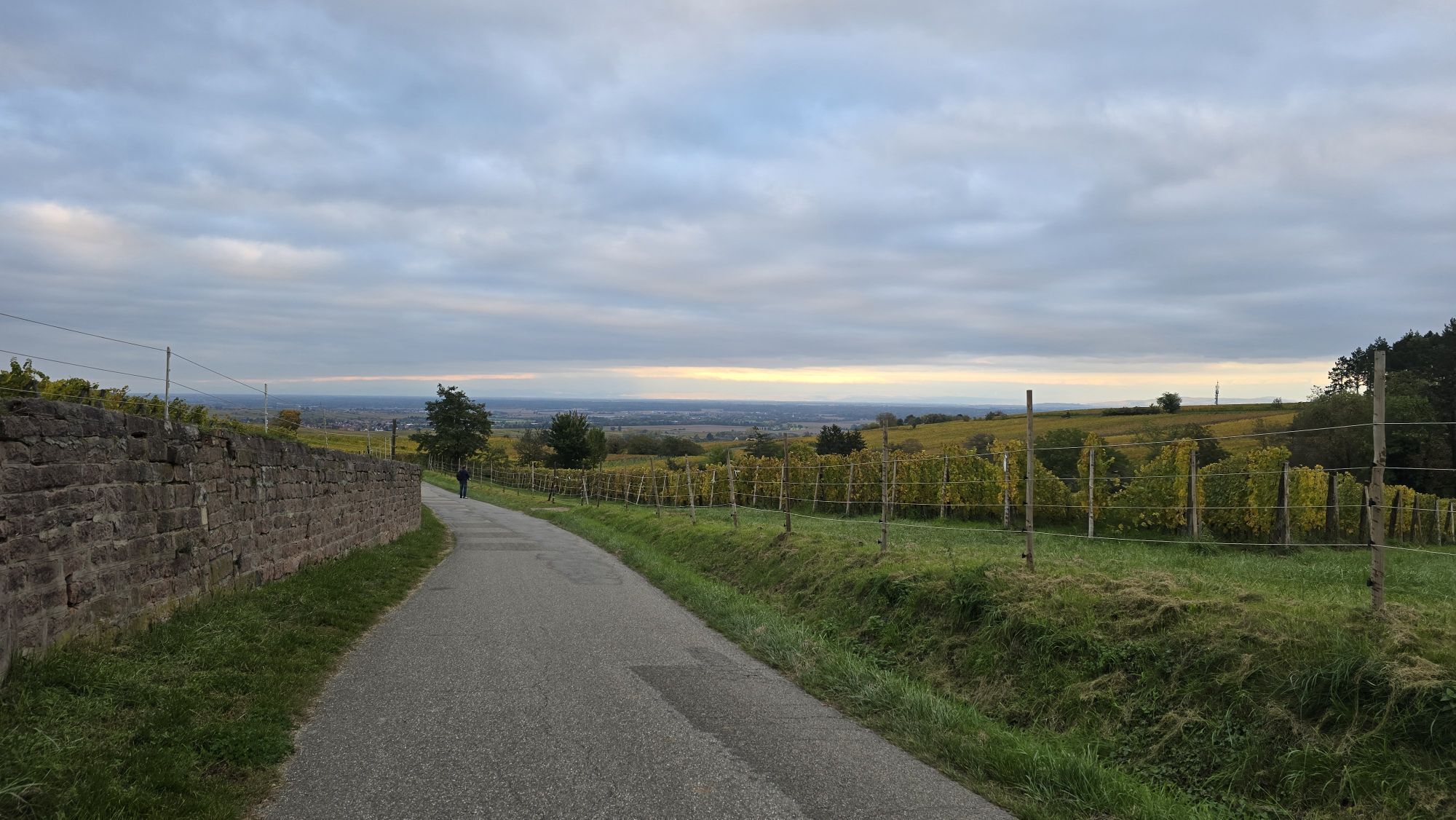
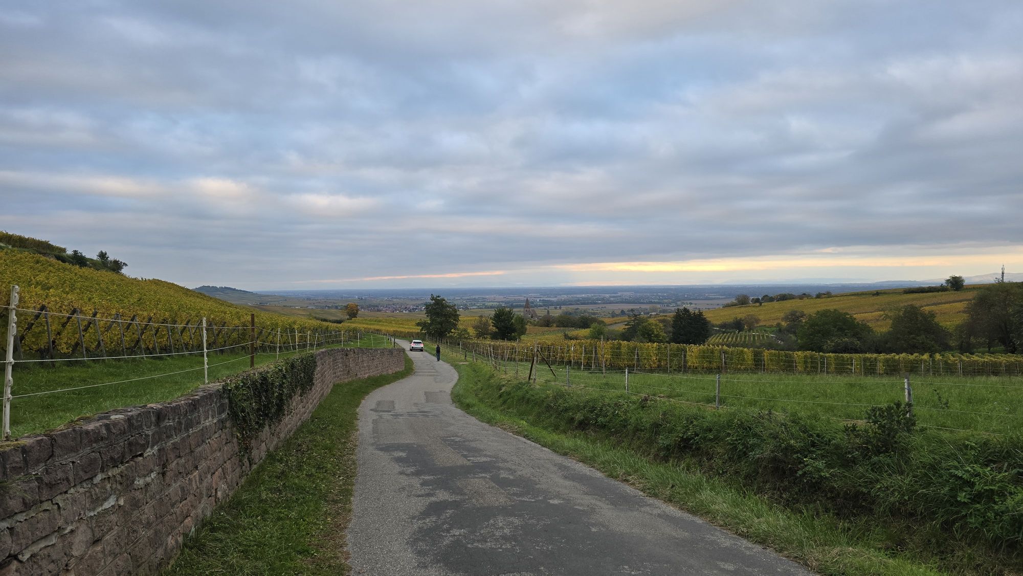
Trasa
Église Catholique Sainte-Marguerite
(304 m)
Místo konání bohoslužeb
6.6 km
Chapelle Saint-Michel
(247 m)
Místo konání bohoslužeb
12.2 km
Chapelle de l'Oberhof dite Notre-Dame du Scapulaire
(250 m)
Místo konání bohoslužeb
12.8 km
Fréland
(448 m)
Vesnice
20.0 km
Tibremont
(650 m)
Vypořádání
22.9 km
Waldburg
(427 m)
Vypořádání
34.0 km
Chapelle de la Sainte-Famille
(243 m)
Místo konání bohoslužeb
40.3 km
Trasa
Ribeauvillé - Église de l'Invention de la Sainte-Croix - Chapelle de l'Oberhof dite Notre-Dame du Scapulaire - Chapelle Sainte-Catherine
heavy
Mountainbike
42.16
km
Ribeauvillé
(241 m)
Vesnice
1.6 km
Hunawihr
(257 m)
Vesnice
3.9 km
Riquewihr
(296 m)
Vesnice
6.6 km
Église Catholique Sainte-Marguerite
(304 m)
Místo konání bohoslužeb
6.6 km
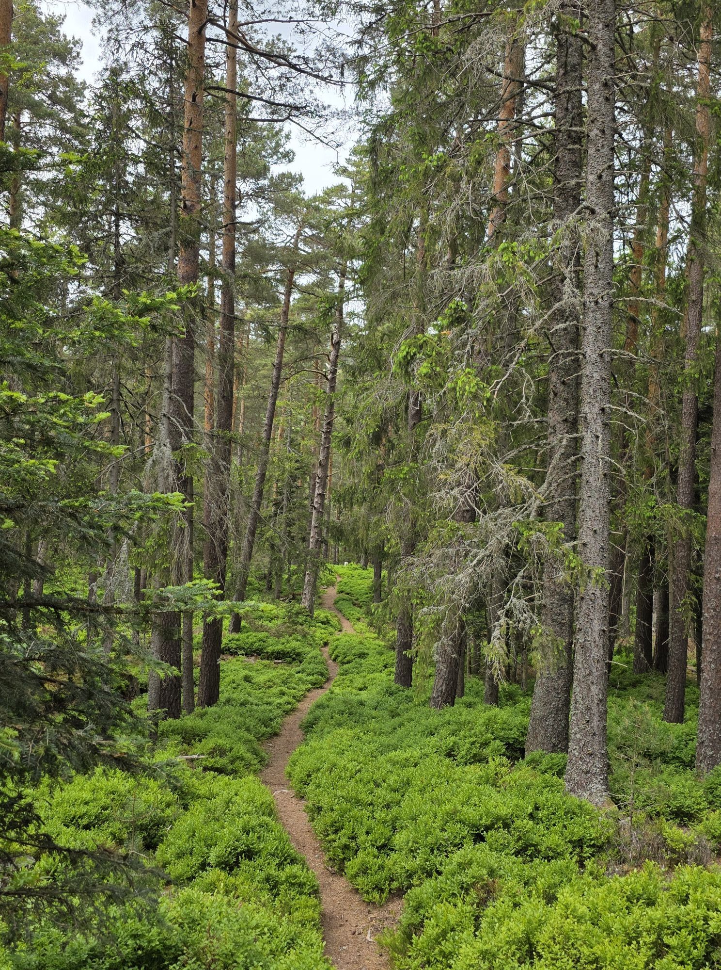
Le Hagelgraben
(317 m)
Zdroj:
8.3 km
Grafreben
(264 m)
Koridor/terén
9.4 km
Restaurant Côté Vigne
(224 m)
Restaurace
10.2 km
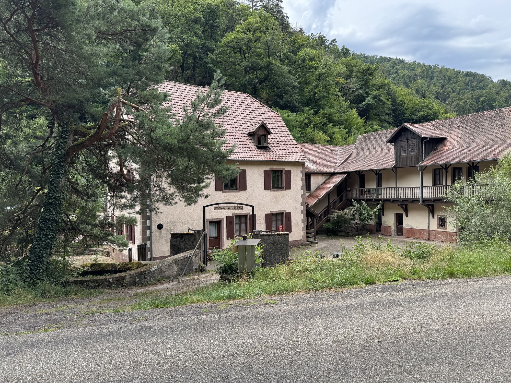
Kientzheim
(224 m)
Vesnice
10.3 km
Église Notre-Dame des Douleurs
(226 m)
Místo konání bohoslužeb
10.4 km
Chapelle Saint-Michel
(247 m)
Místo konání bohoslužeb
12.2 km
Église de l'Invention de la Sainte-Croix
(248 m)
Místo konání bohoslužeb
12.4 km
Kaysersberg
(249 m)
Vesnice
12.6 km
Chapelle de l'Oberhof dite Notre-Dame du Scapulaire
(250 m)
Místo konání bohoslužeb
12.8 km
Gare de Fréland
(321 m)
Koridor/terén
17.1 km
Les Prés Bas
(368 m)
Koridor/terén
18.6 km
Le Bâa
(403 m)
Koridor/terén
18.7 km
Le restaurant du musée
(420 m)
Restaurace
19.8 km
Restaurant le Kalblin
(422 m)
Restaurace
19.9 km
Fréland
(448 m)
Vesnice
20.0 km
La Broque
(498 m)
Koridor/terén
21.5 km
Tibremont
(650 m)
Vypořádání
22.9 km
Belvédère du Col de Fréland
(832 m)
Úhel pohledu
26.8 km
Aubure
(797 m)
Vesnice
27.4 km
La Ménère
(791 m)
Koridor/terén
27.6 km
Waldburg
(427 m)
Vypořádání
34.0 km
Hameau de La Pépinière
(359 m)
Vypořádání
35.3 km
La Pepinière
(339 m)
Koridor/terén
35.9 km
Scherbuehl
(274 m)
Koridor/terén
38.1 km
Chapelle Sainte-Catherine
(247 m)
Místo konání bohoslužeb
39.8 km
Chapelle de la Sainte-Famille
(243 m)
Místo konání bohoslužeb
40.3 km
Ribeauvillé
(241 m)
Vesnice
40.5 km
Zatím žádné recenze
Oblíbené prohlídky v okolí
-
4.5
Hiking route - the circuit of the 3 lakes
středníTuristika 12.7 km -
4.0
Ribeauvillé-Riquewihr between forest and vineyard
středníTuristika 12.5 km -
Bike route: BL128 - Around Colmar, capital of Alsace wines
světloJízda na kole 23.3 km -
Cycling route: Alsace Vineyard Cycle Route: from Marlenheim to Thann
heavyCyklistika na velkou vzdálenost 141.4 km -
4.0
Hohrod - Wanderung in die Zeit des 1. Weltkrieges
středníTuristika 7.87 km -
4.0
The Lac Blanc ridge
světloTuristika 5 km -
5.0
Radltour an der Elsässer Weinstraße
středníElektrokola 43.9 km -
Crossing of the Vosges Massif - Stage 14 - Le Bonhomme - Schlucht Pass
střednídálková pěší trasa 19.4 km -
4.0
Hiking circuit - tour of the small and large Hohnack
světloTuristika 7.07 km -
Saint Hippolyte - Haut Kœnigsbourg
světloTuristika 12.4 km
Pěší turistika a stopování

Více než 550.000 návrhů výletů, podrobné mapy a intuitivní plánovač tras dělají z aplikace nezbytnou výbavu pro všechny milovníky přírody.

Nenechte si ujít nabídky a inspiraci pro vaši příští dovolenou
Přihlaste se k odběru newsletteru
Chyba
Došlo k chybě. Zkuste to prosím znovu.
Děkujeme za vaši registraci
Vaše e-mailová adresa byl přidán do poštovního seznamu.
Zájezdy po celé Evropě
Rakousko
Švýcarsko
Německo
Itálie
Slovenia
Francie
Nizozemsko
Belgie
Polsko
Lichtenštejnsko
Česko
Slovensko
Španělsko
Chorvatsko
Bosna a Hercegovina
Lucembursko
Andorra
Portugal
Iceland
United Kingdom
Ireland
Greece
Albania
North Macedonia
Malta
Norway
Montenegro
Moldova
Kosovo
Hungary
San Marino
Romania
Estonia
Latvia
Belarus
Cyprus
Lithuania
Serbia
Bulgaria
Monaco
Denmark
Sweden
Finland