





Mountain Bike Circuit 4 - Head of the Fakes
Úroveň obtížnosti: S2
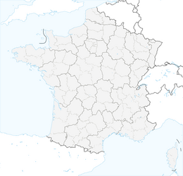
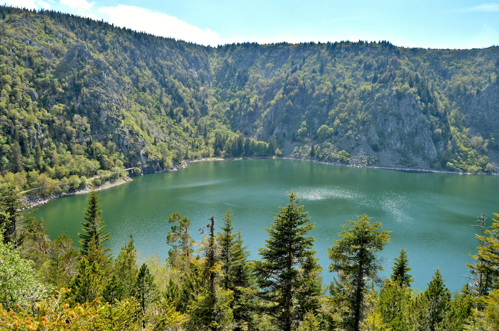
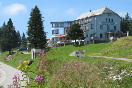
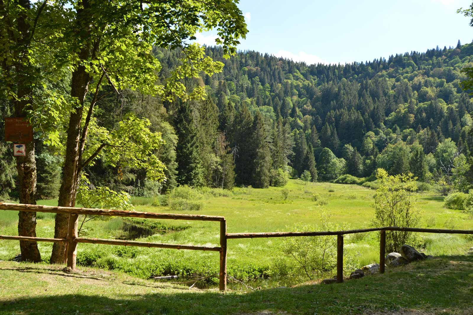
Arrival at the Devin pond before climbing up "la chaume Thiriet" and Duchesne cemetery. Ending at the Calvary Pass and descent to Blancrupt.

see route
Ano
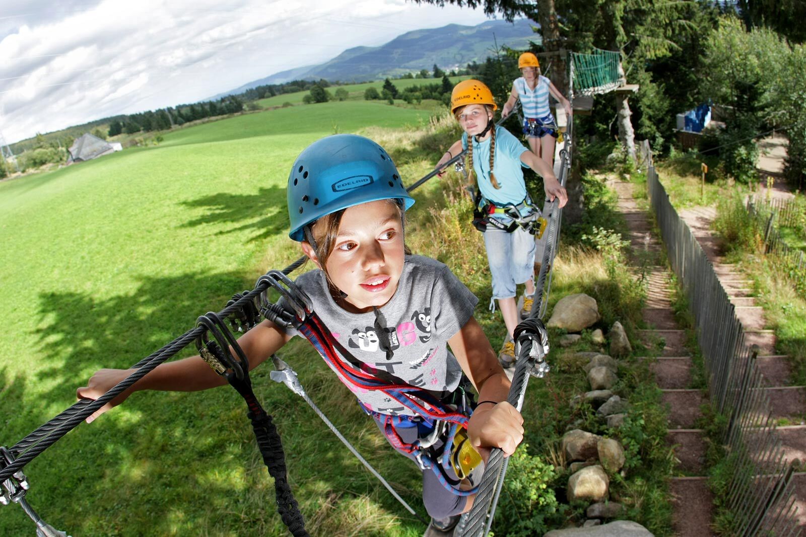
Wearing a helmet is strongly recommended
Safety instructions
Emergency number: 112
Mountain biking as you want! but…
Use marked paths for your safety and respect the direction of the routes
Do not overestimate your abilities and stay in control of your speed
Be careful and courteous when overtaking or crossing hikers as pedestrians have priority
Check the condition of your mountain bike and bring supplies and repair accessories
If you go alone, leave your route with someone you trust
Respect private property and cultivated areas
Watch out for agricultural and forestry machinery
Close gates behind you
Avoid picking wild flowers, fruits, and mushrooms
Do not disturb the tranquility of wild animals
Keep your waste, be discreet and respectful of the environment
Calvary Pass
www.fluo.eu
Free parking on site
S2
Tourist Office Calvary Pass
Reception building
68370 Lac Blanc station
Tel: 03 89 78 22 78
contact@lac-blanc.com
www.lac-blanc.com
Oblíbené prohlídky v okolí
-
4.3
Hiking route - the circuit of the 3 lakes
středníTuristika 12.7 km -
3.5
Ribeauvillé-Riquewihr between forest and vineyard
středníTuristika 12.5 km -
5.0
Le tétras bistrot - Hohneck - Chapelle Notre-Dame-des-Chaumes - Brasserie de la Schlucht
heavyTuristika 10.7 km -
Vogesen Col de la Schlucht
heavyTuristika 19.3 km -
4.7
Longemer Col des Feignes Walk
středníTuristika 8.83 km -
4.0
Hohrod - Wanderung in die Zeit des 1. Weltkrieges
středníTuristika 7.87 km -
4.0
Le tétras bistrot - Hôtel - Restaurant du Chalet - Chapelle Notre-Dame-des-Chaumes - La Schlucht
středníTuristika 5.95 km -
4.0
The Lac Blanc ridge
světloTuristika 5 km -
Crossing of the Vosges Massif - Stage 14 - Le Bonhomme - Schlucht Pass
střednídálková pěší trasa 19.4 km -
4.0
Hiking circuit - tour of the small and large Hohnack
světloTuristika 7.07 km
Pěší turistika a stopování


Nenechte si ujít nabídky a inspiraci pro vaši příští dovolenou
Vaše e-mailová adresa byl přidán do poštovního seznamu.





