







The Tour of the Lakes of the Pays Welche
Úroveň obtížnosti: T1
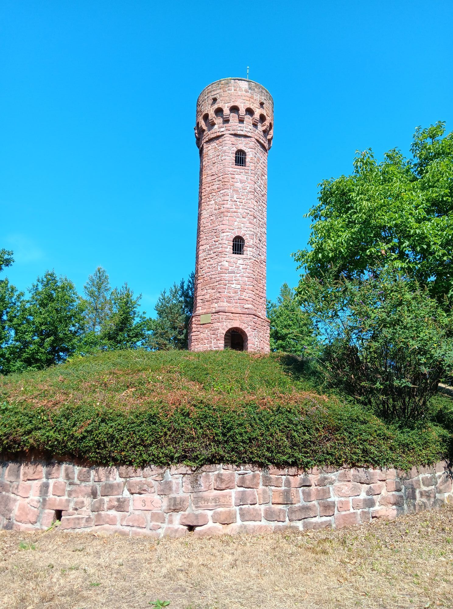
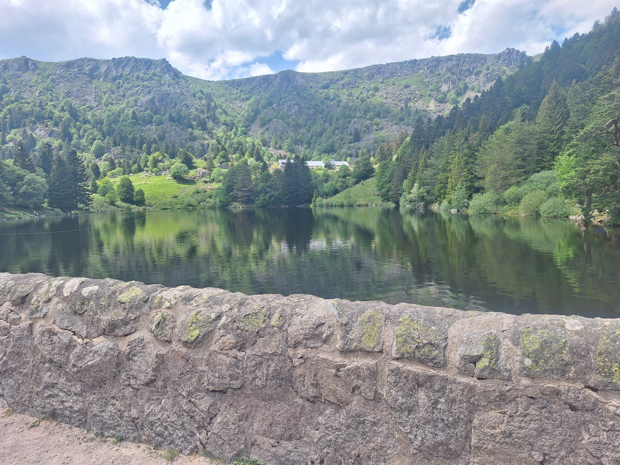
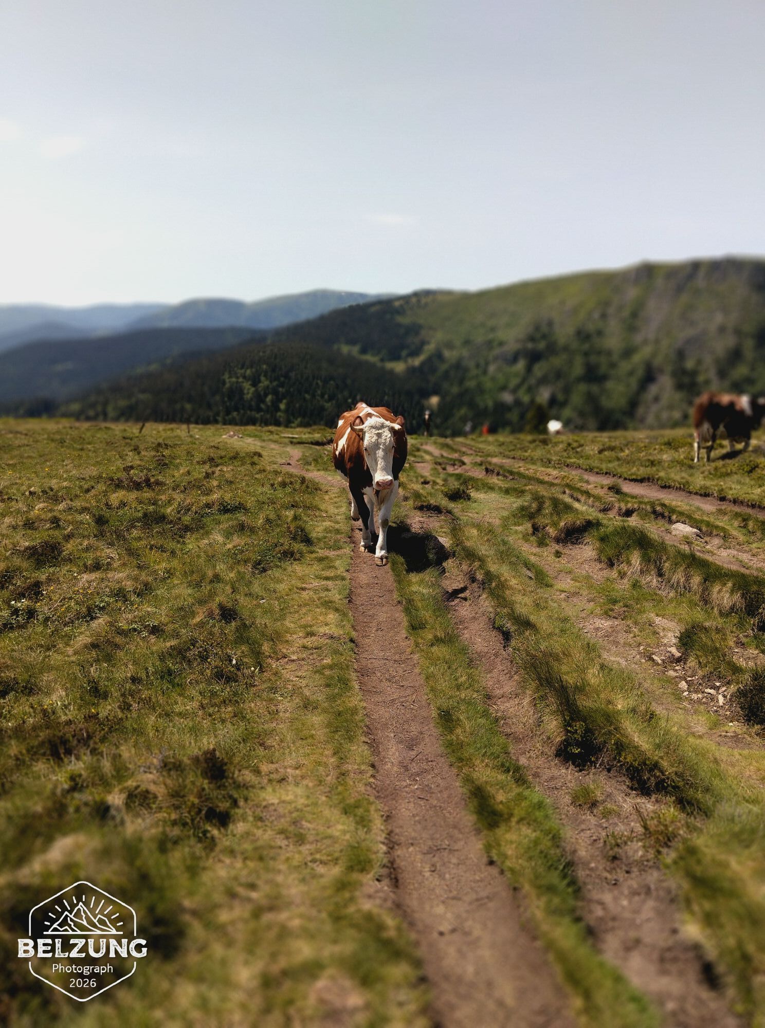
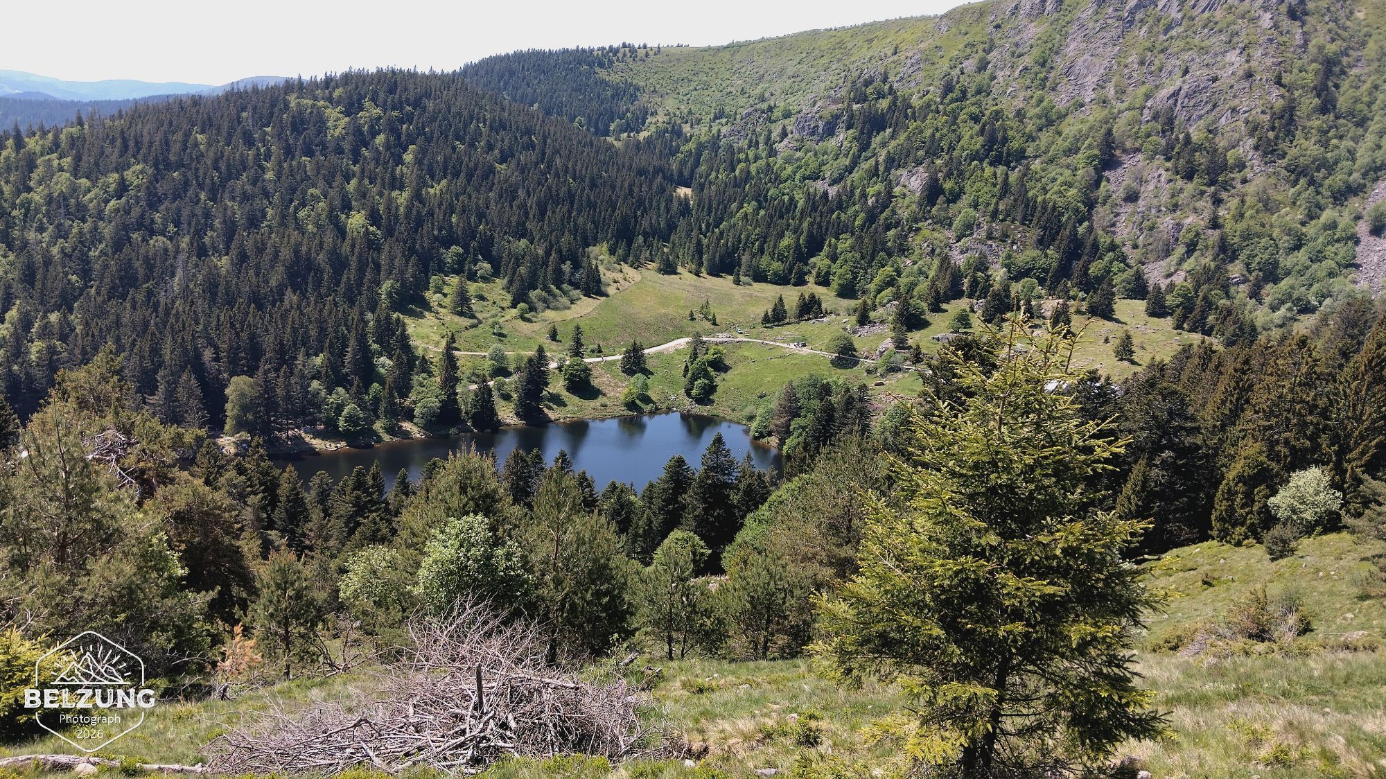
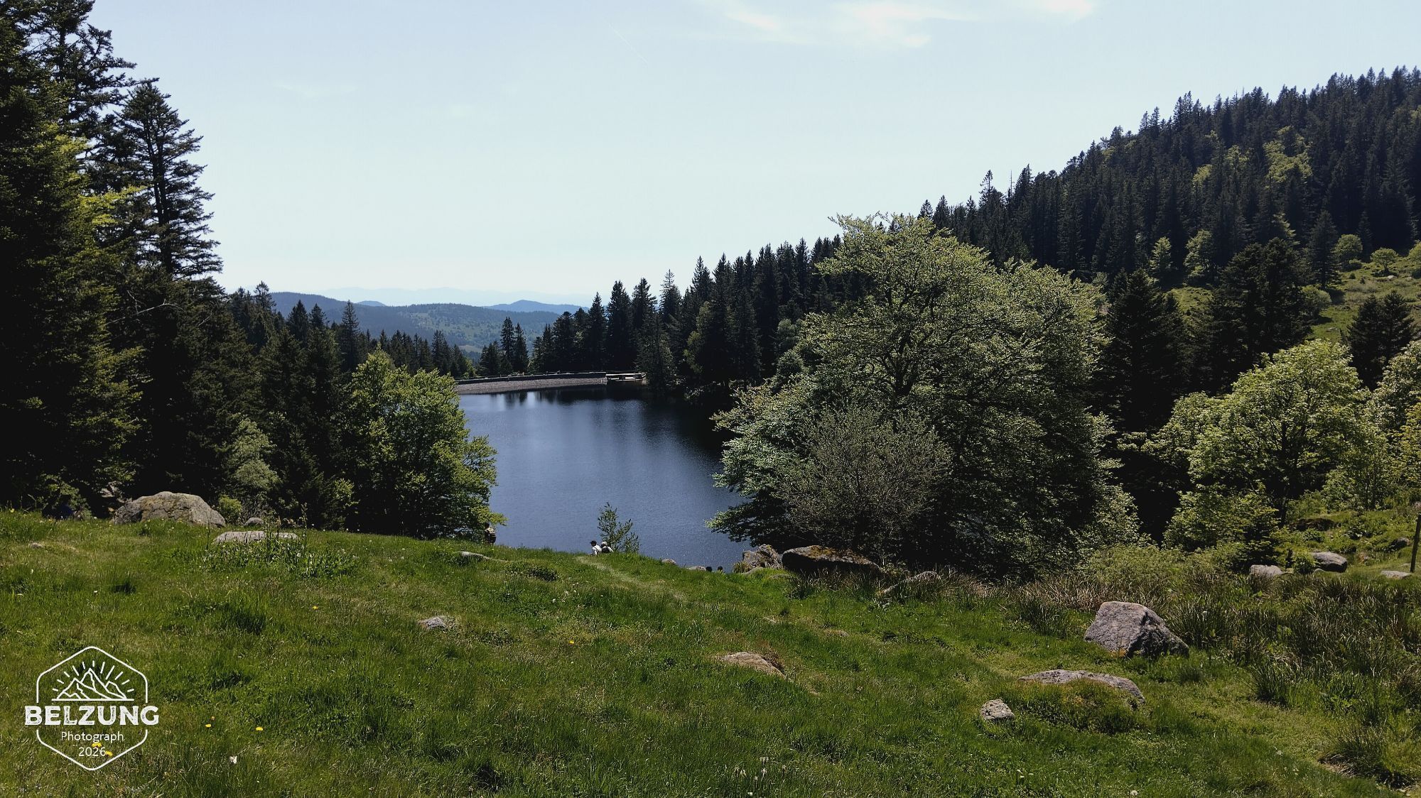
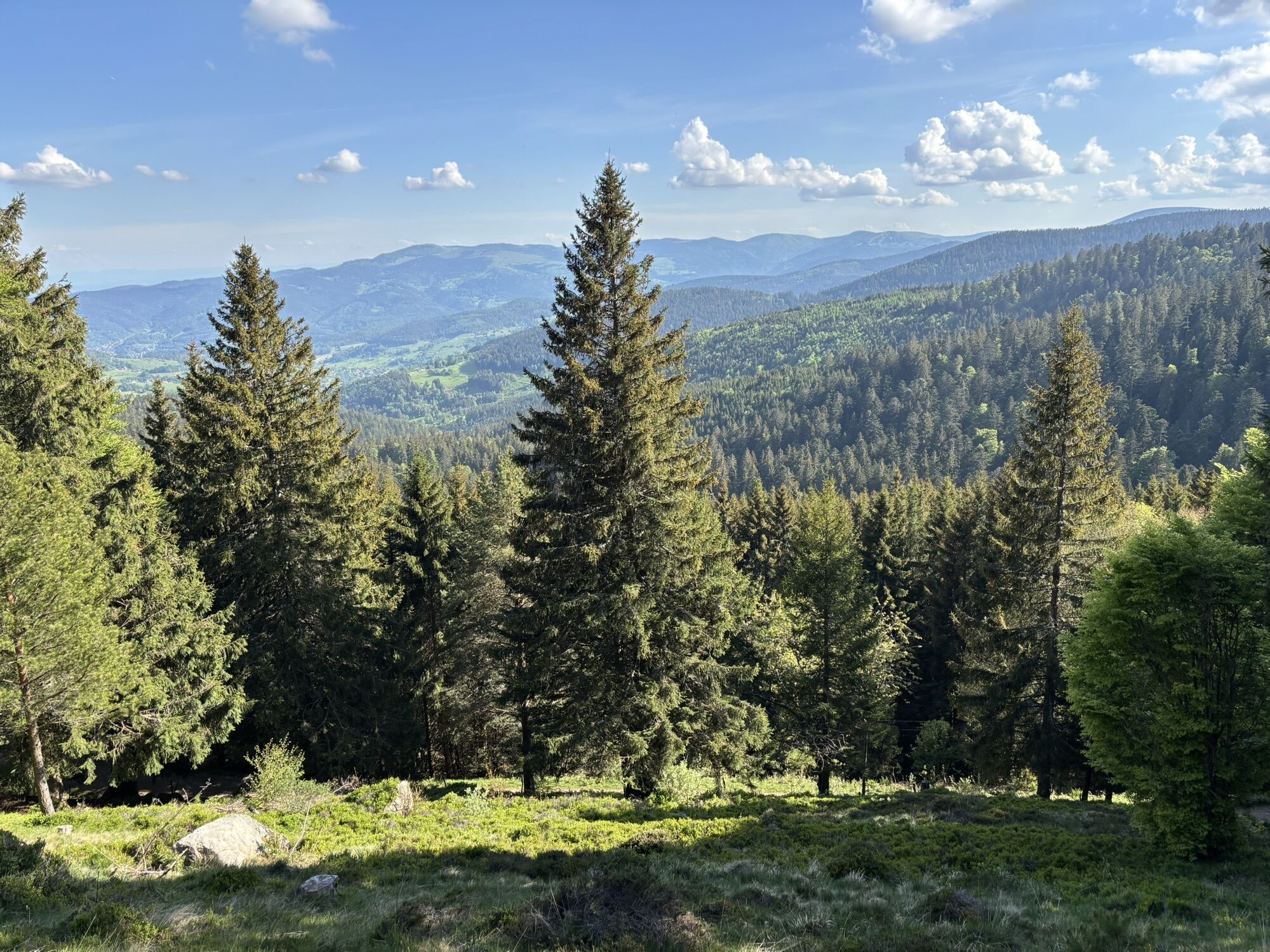
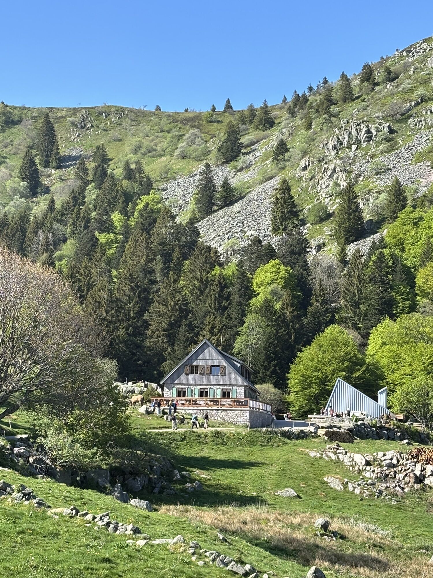
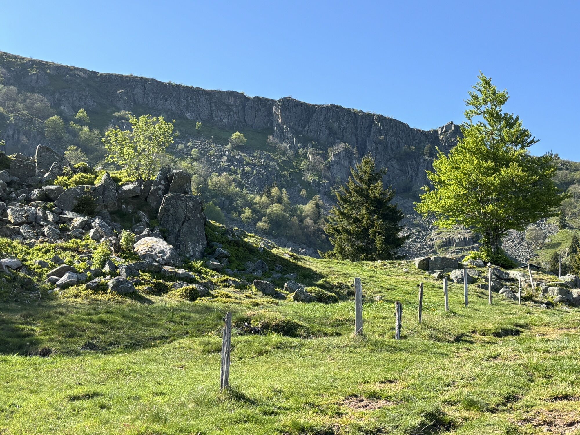
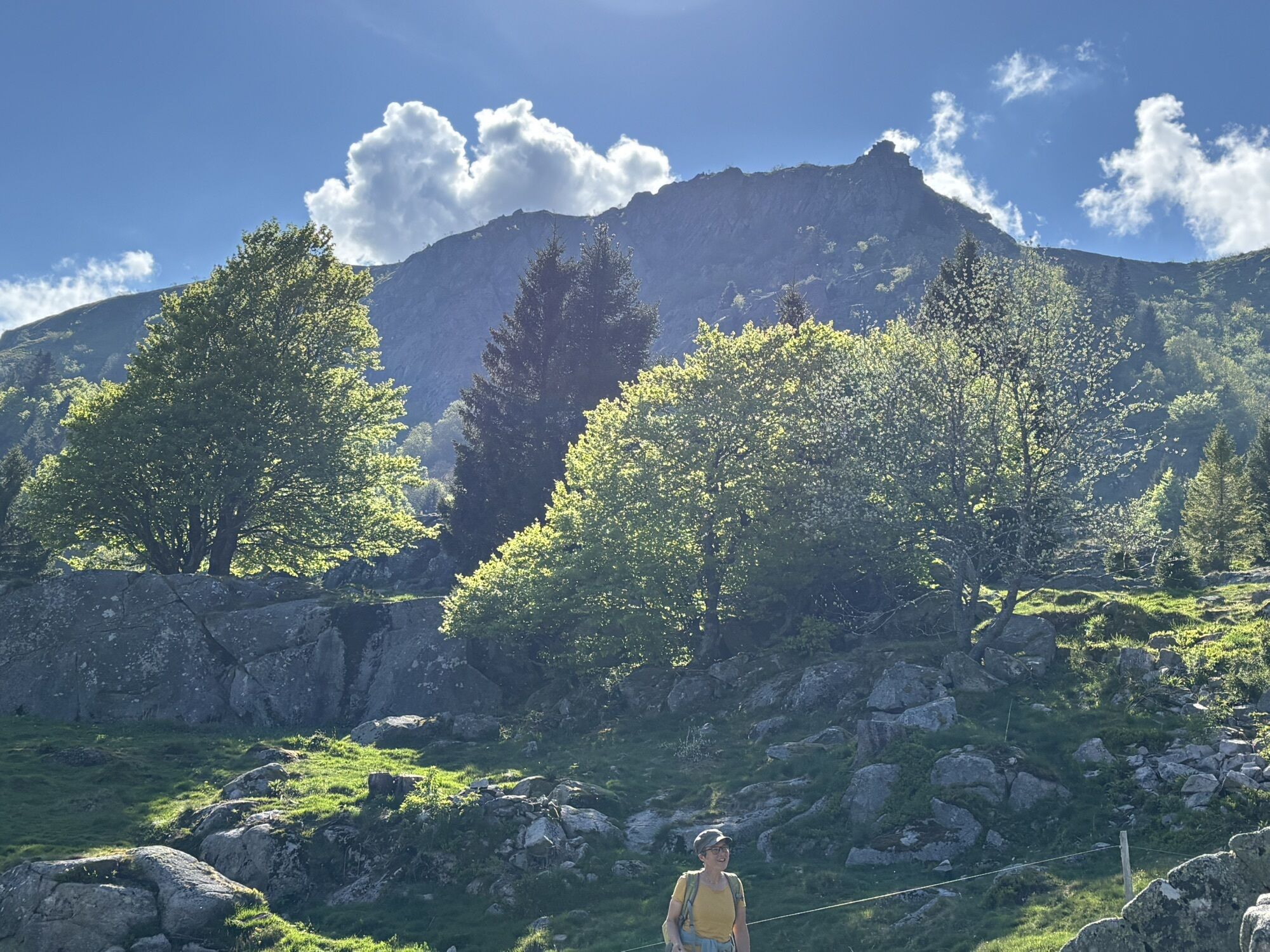
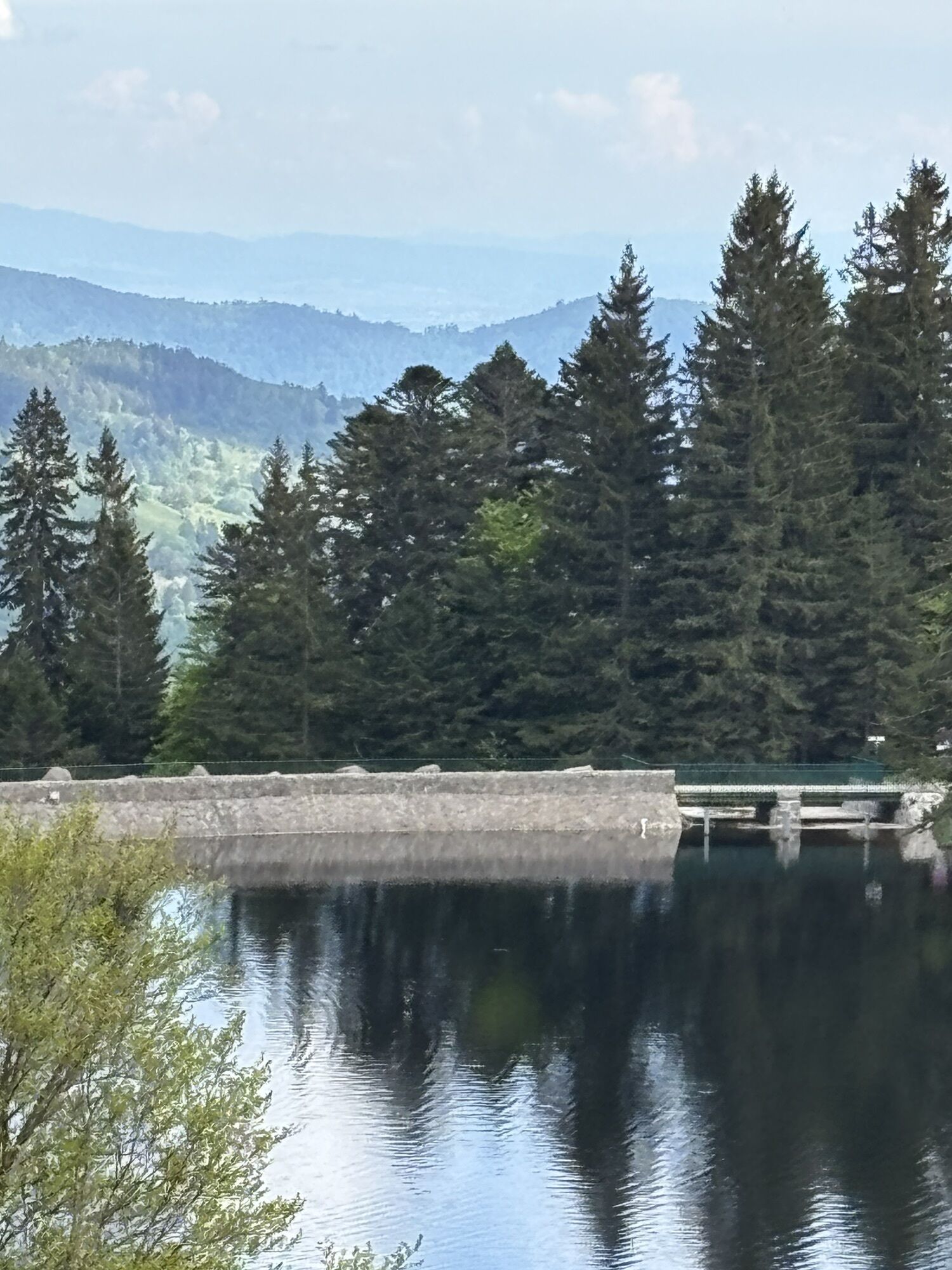
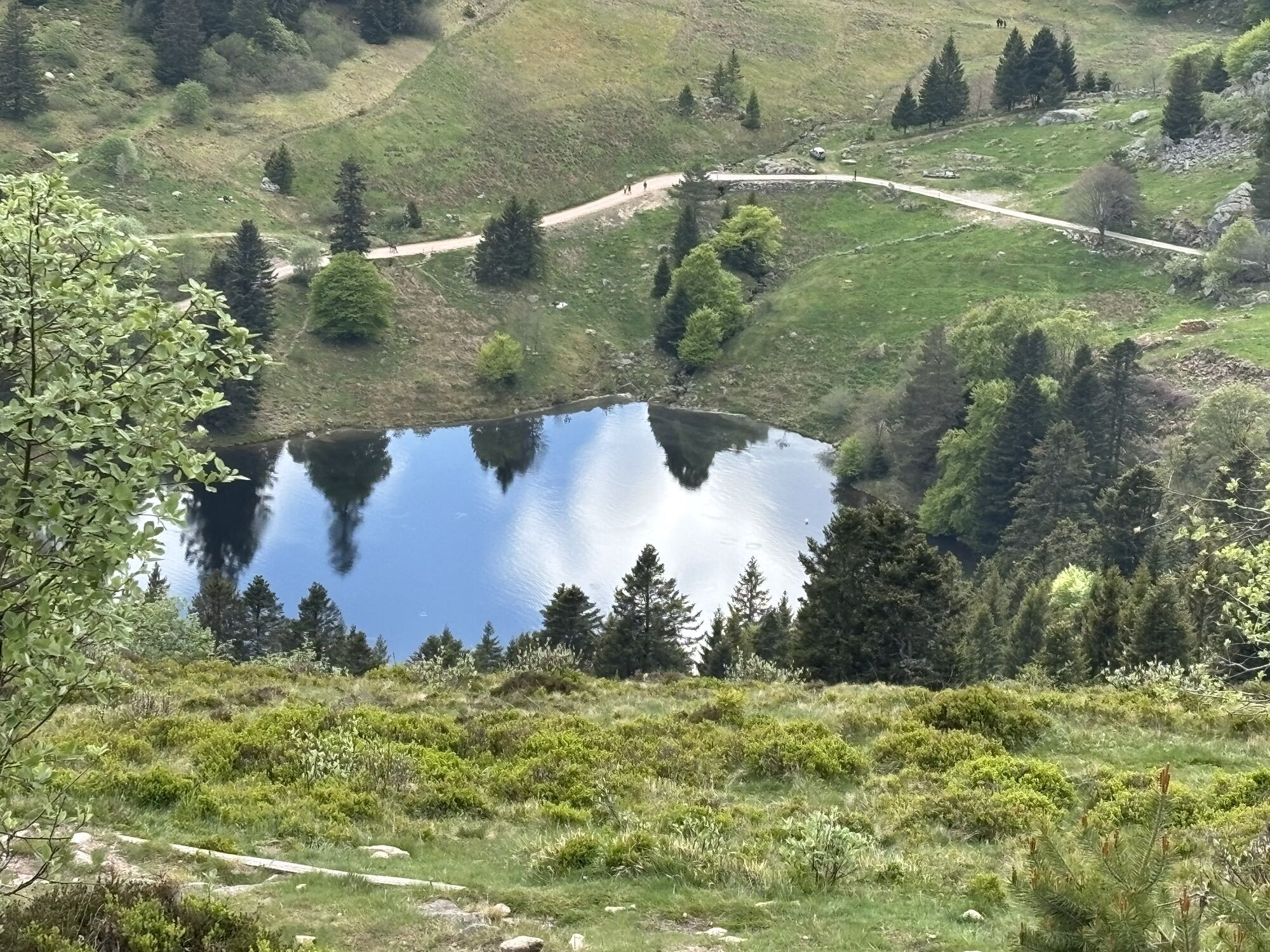
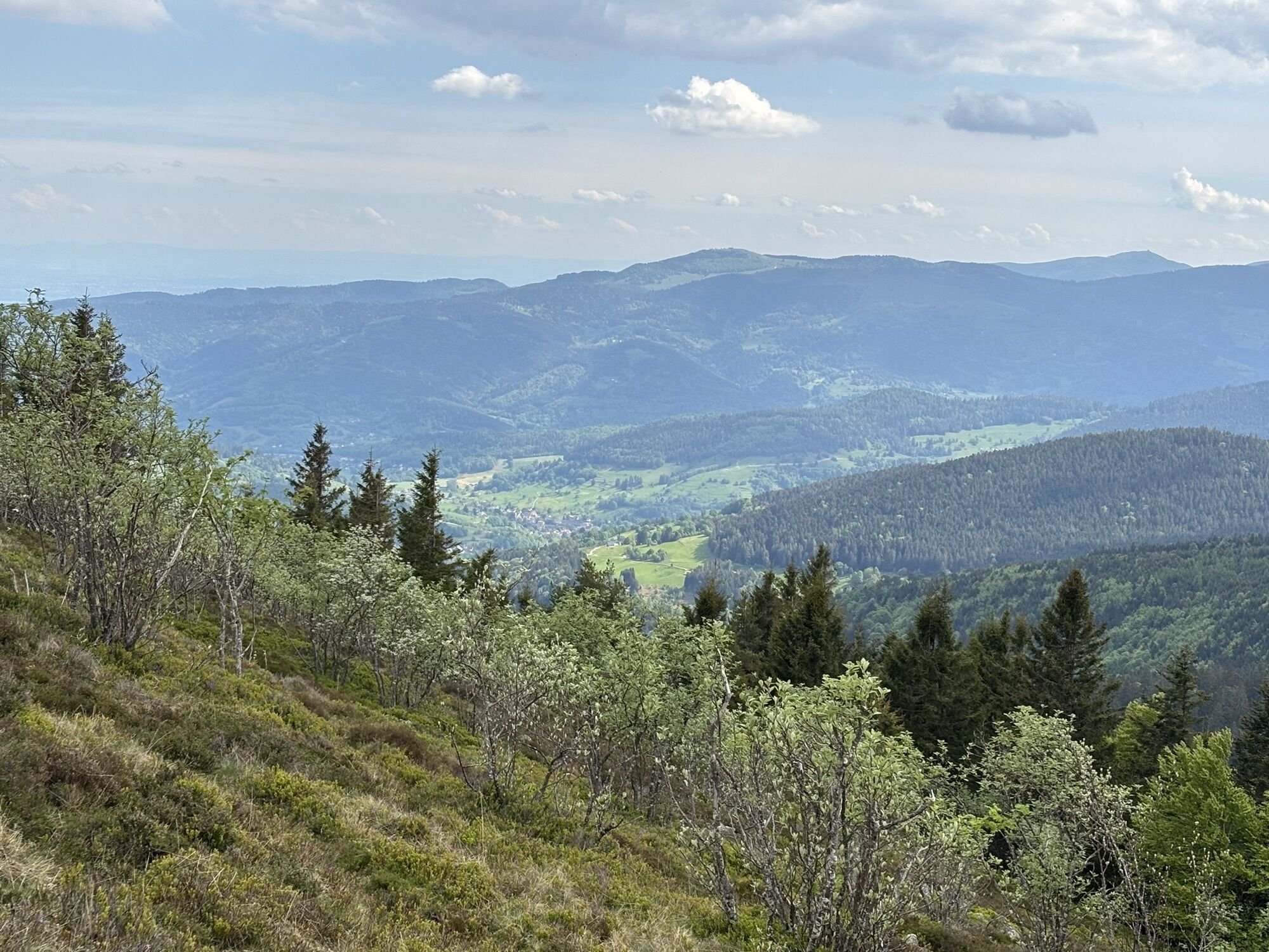
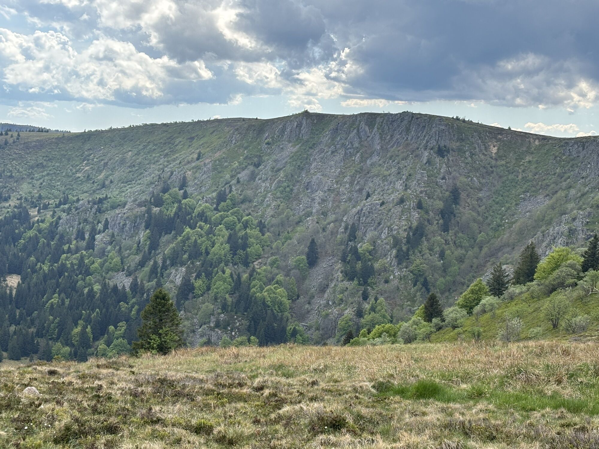
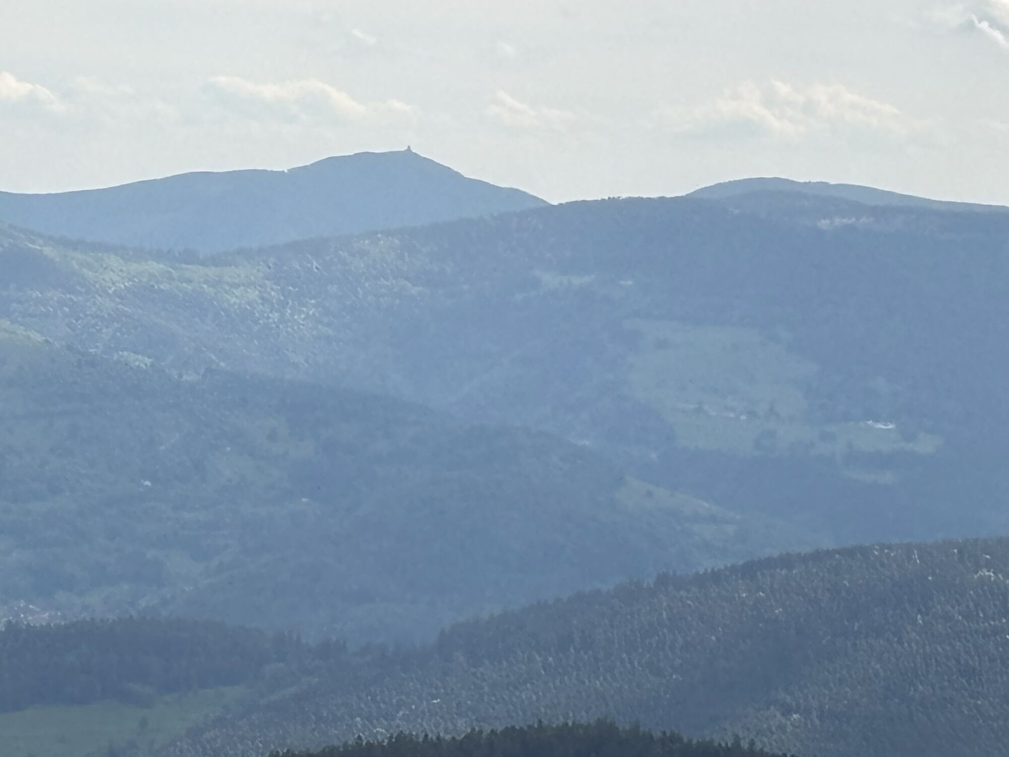
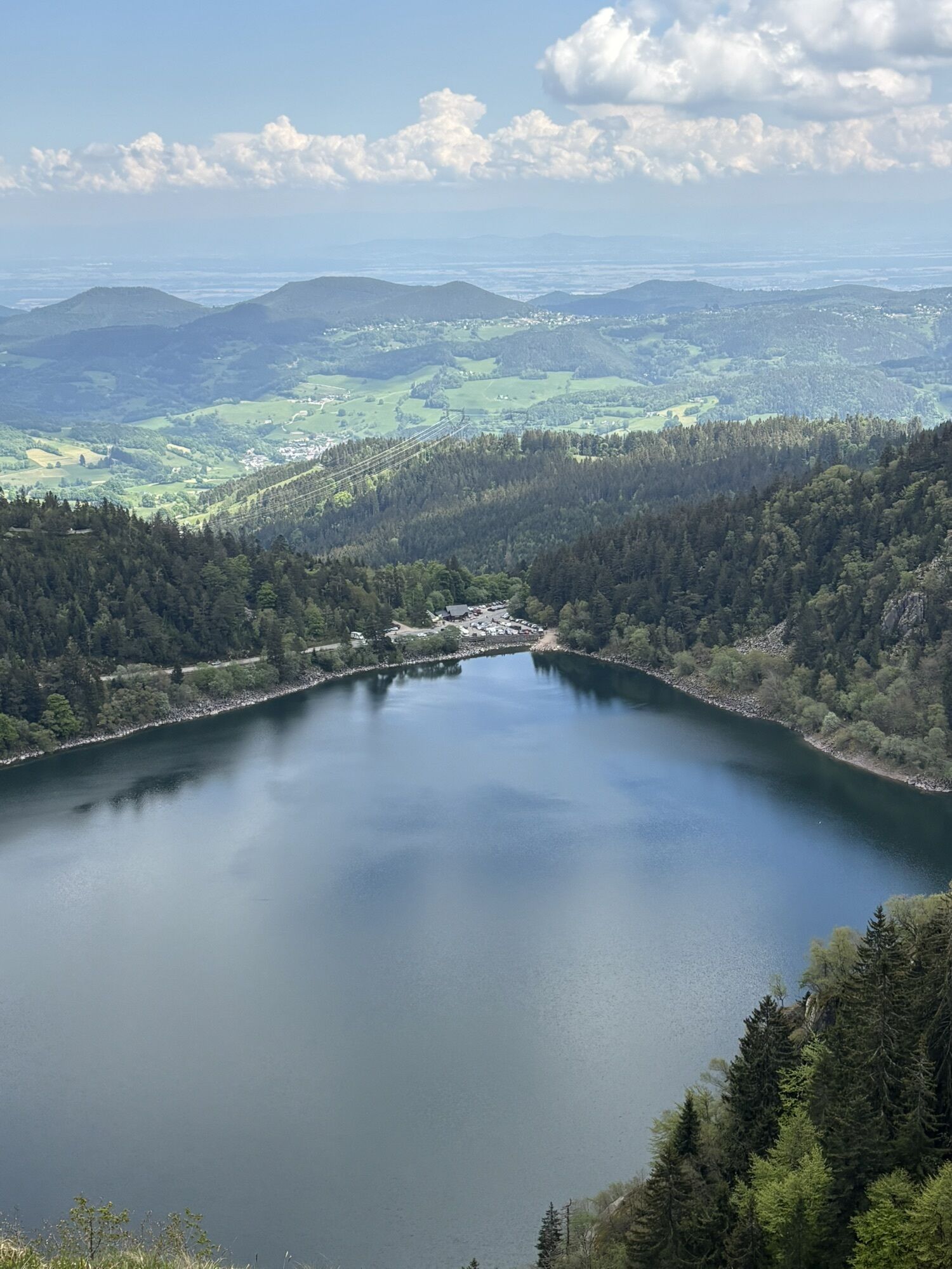
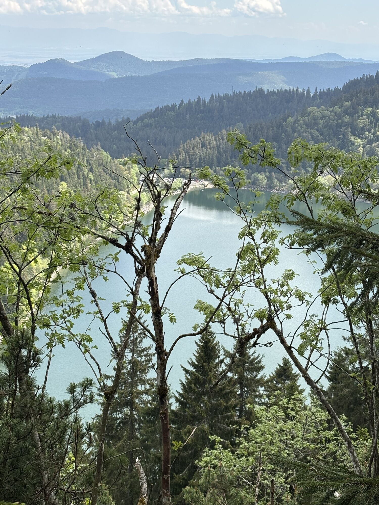
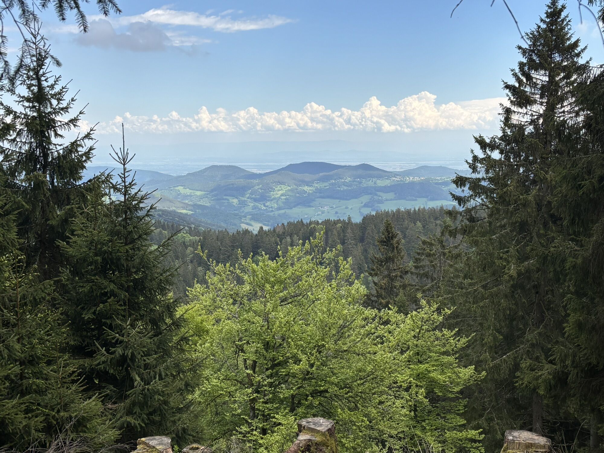
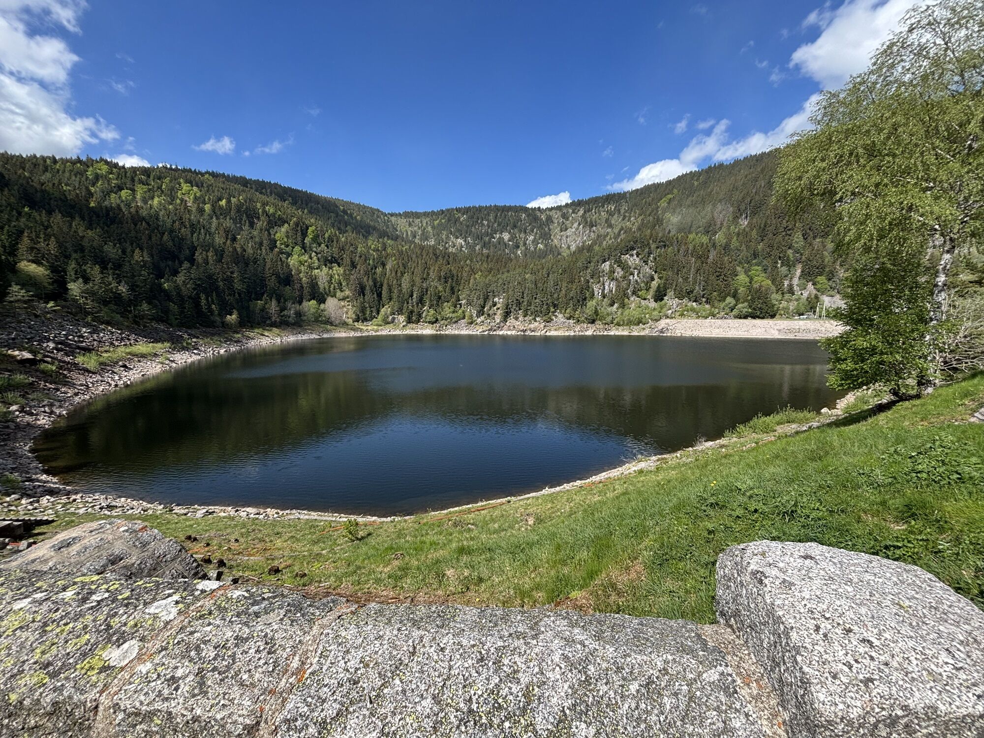
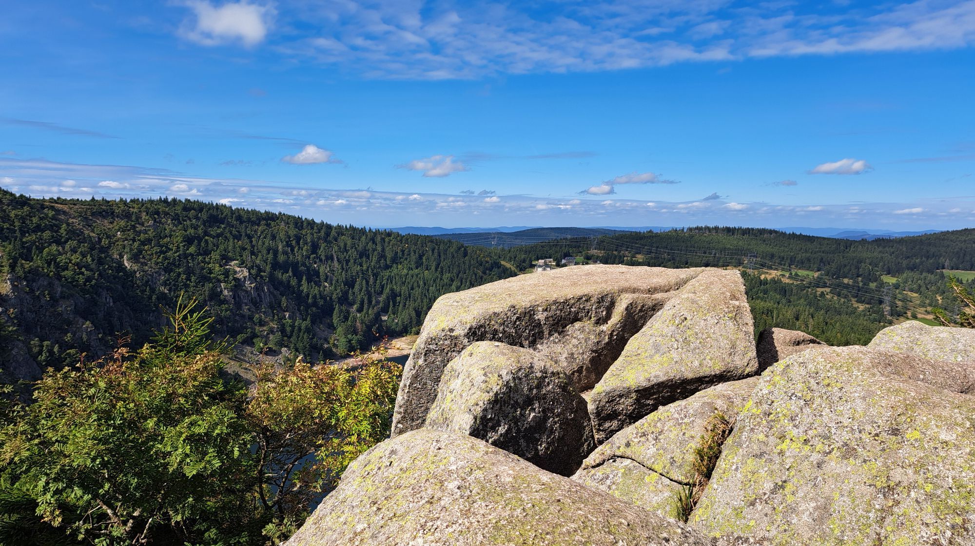
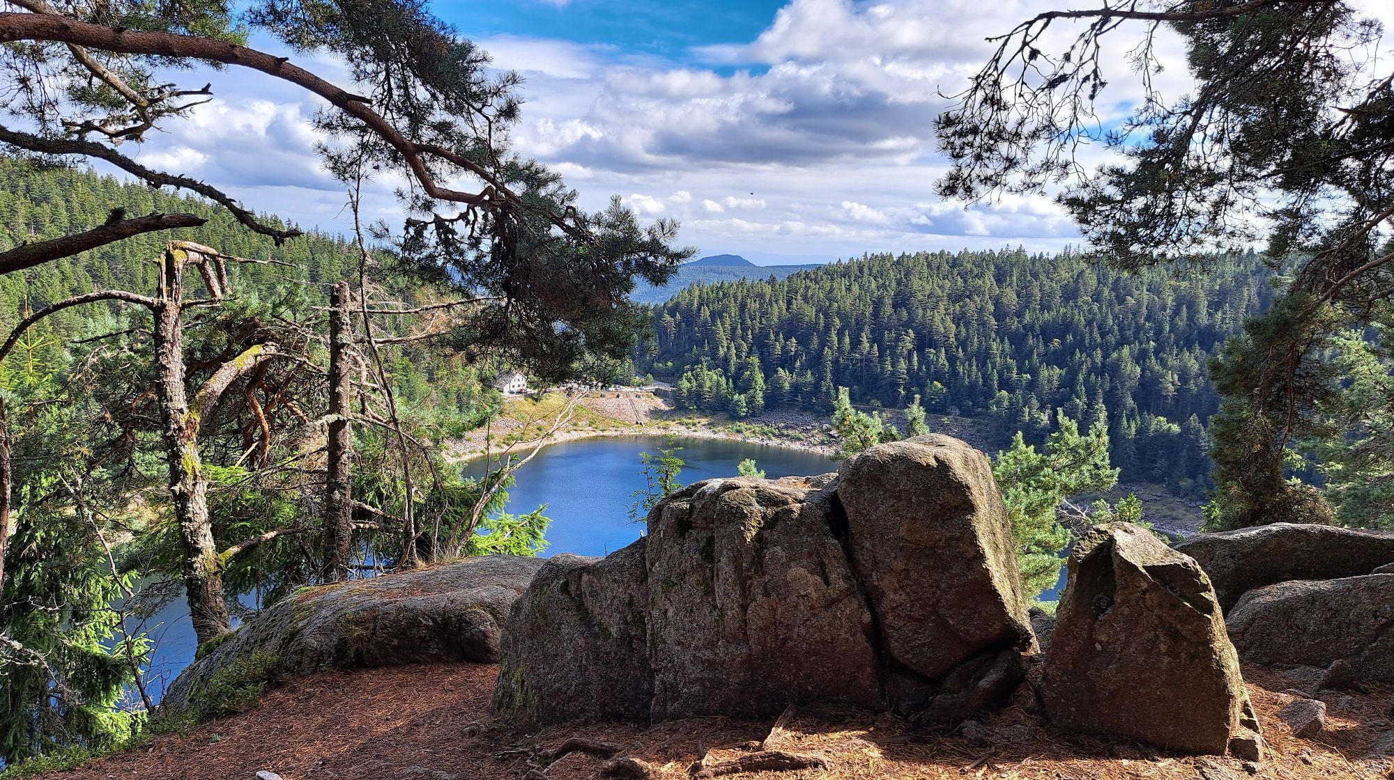
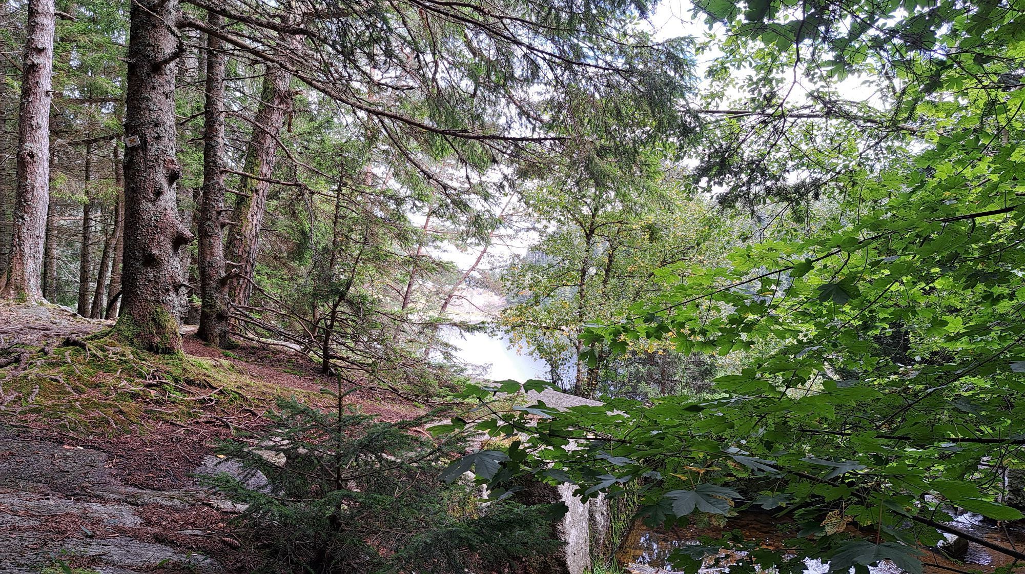
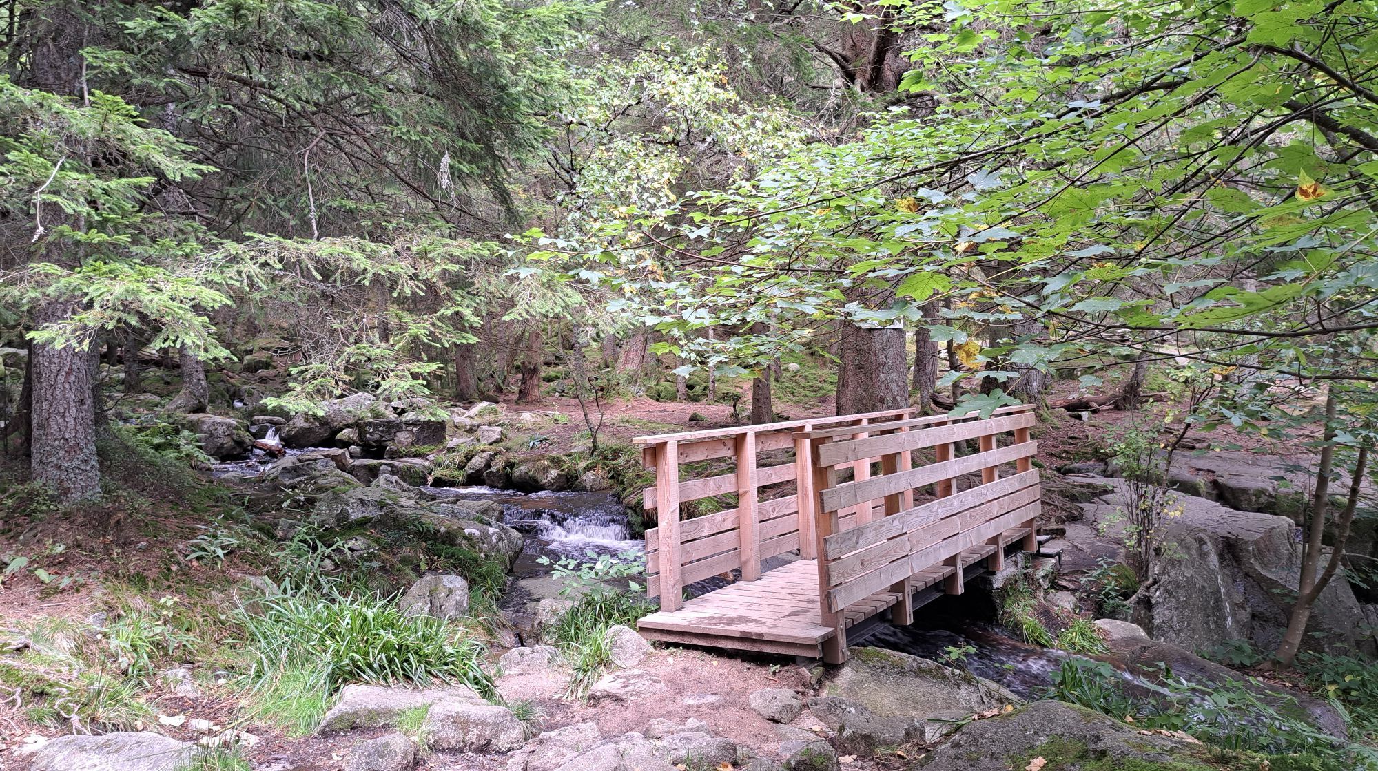

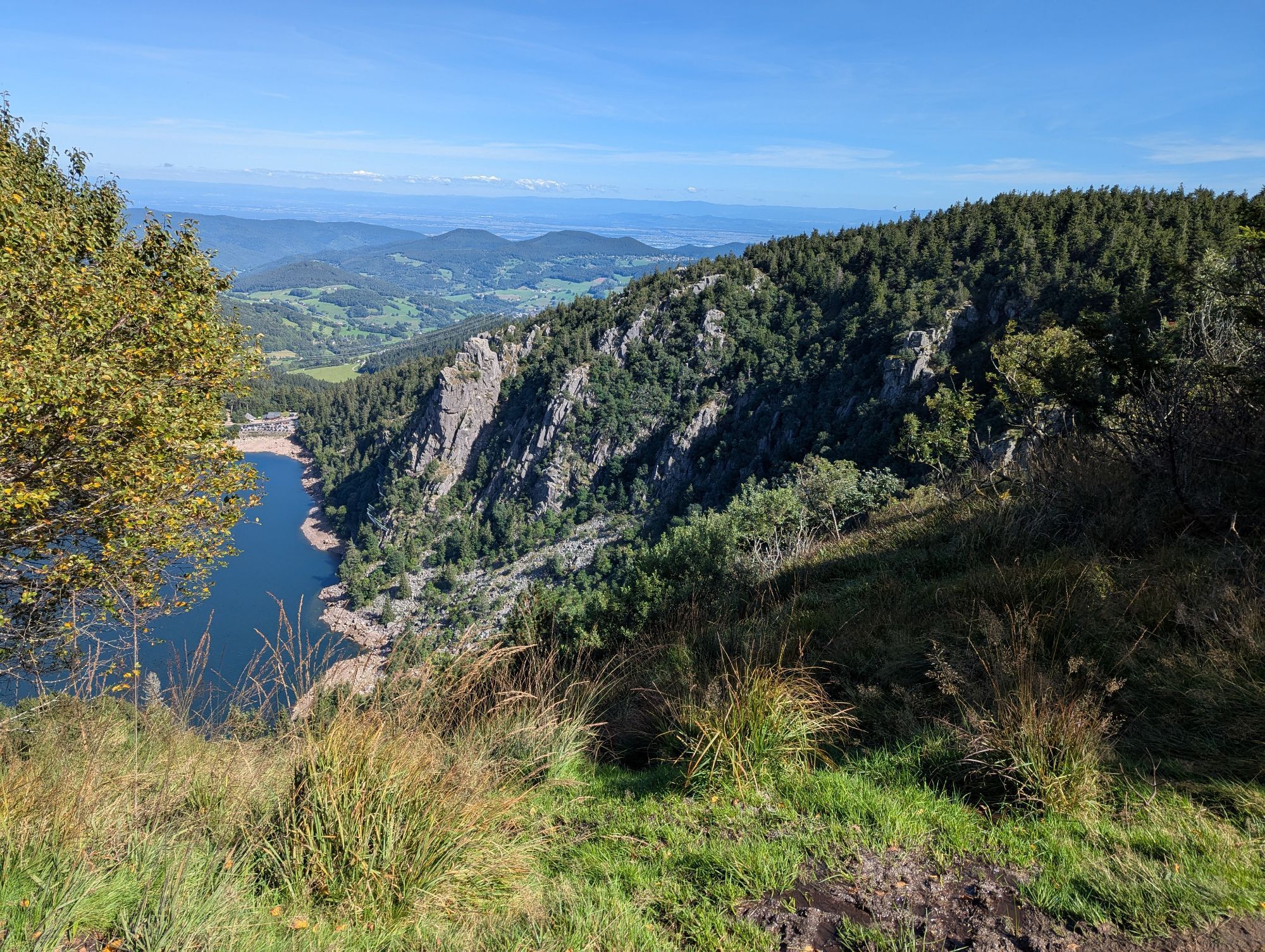
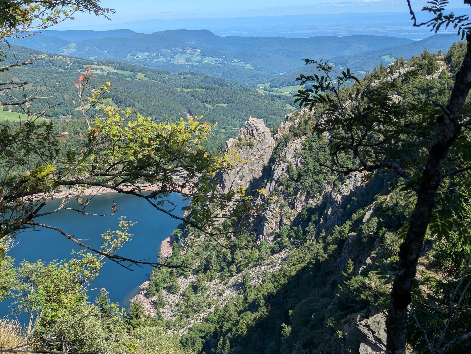
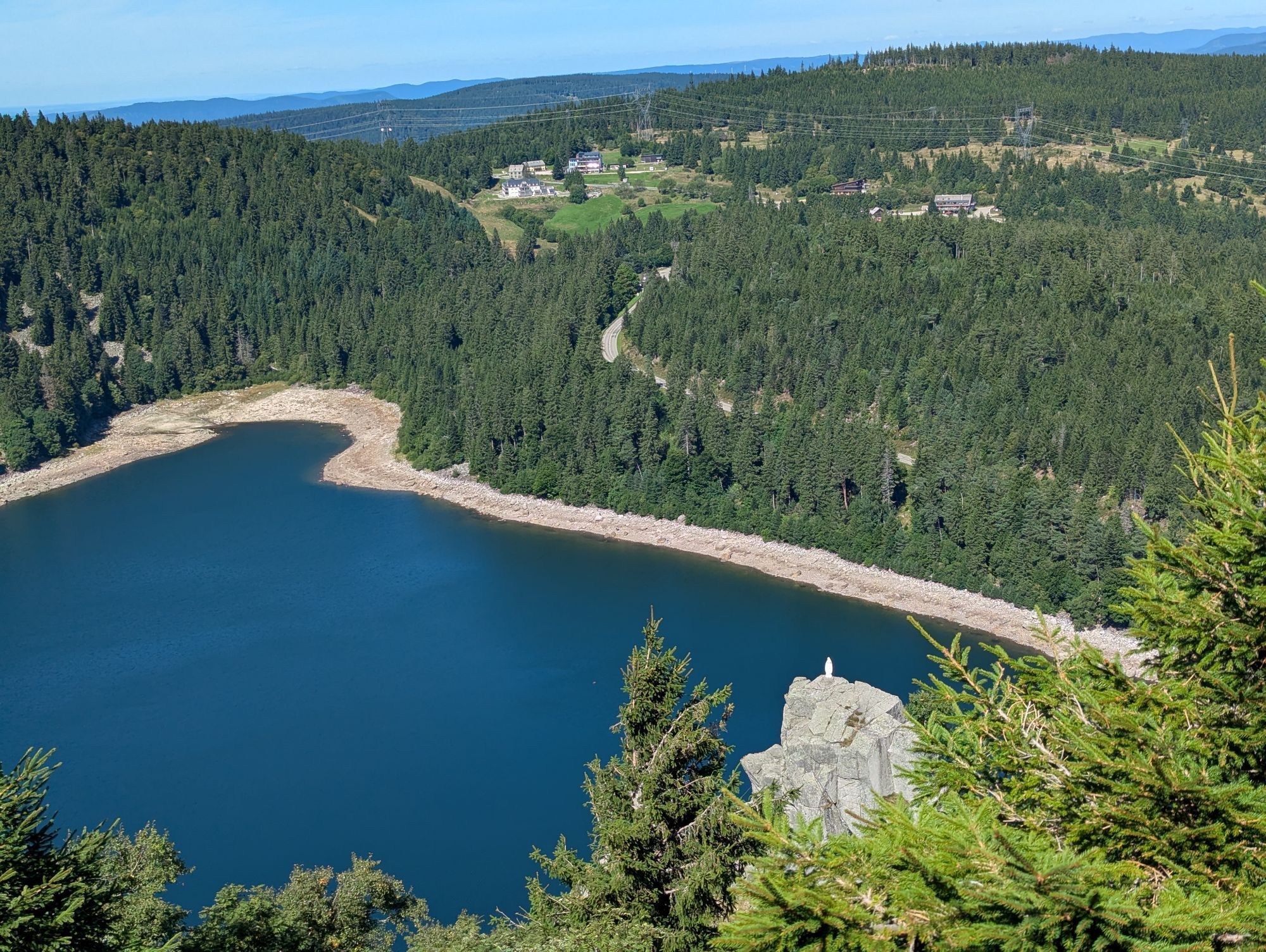
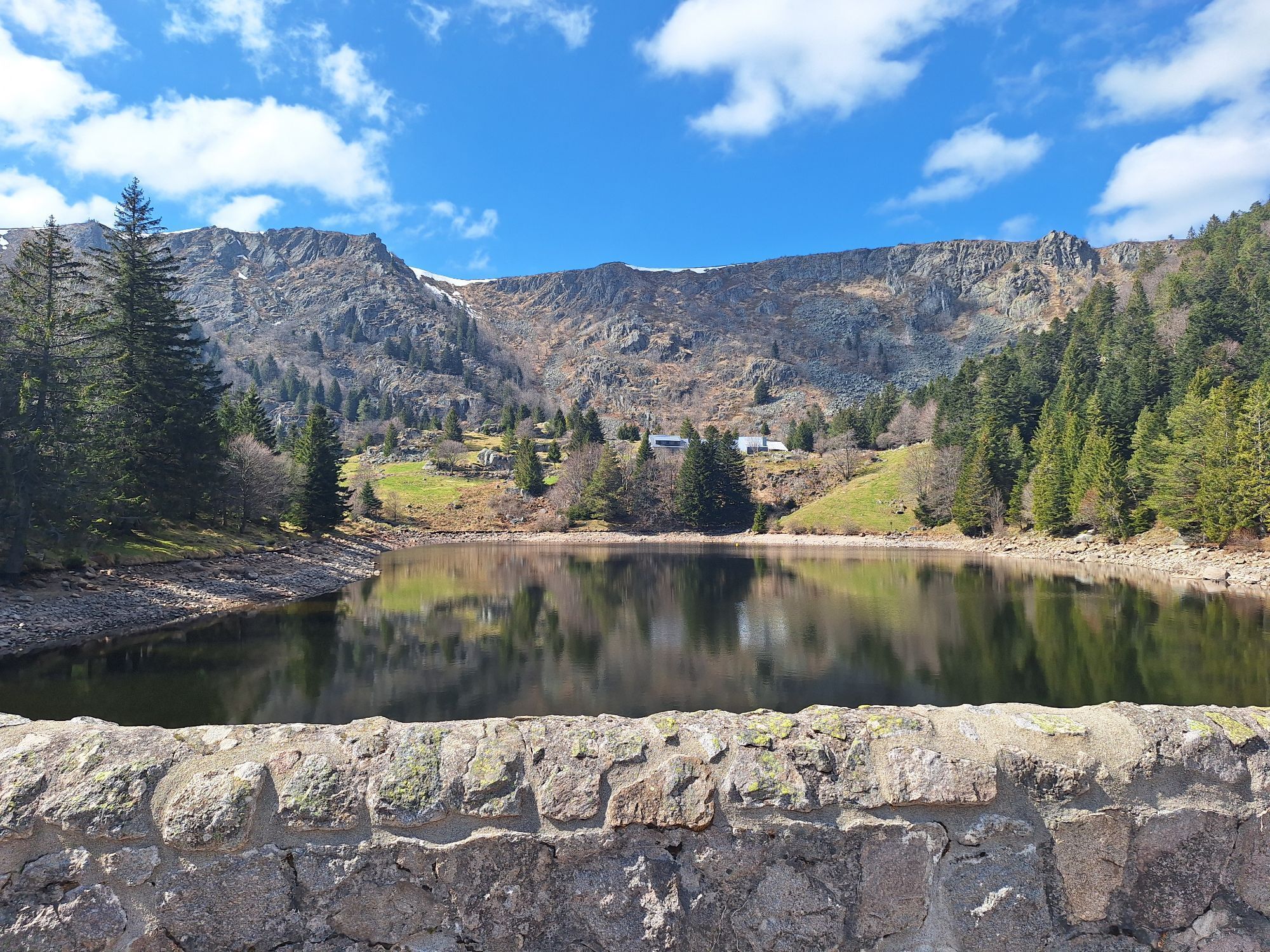
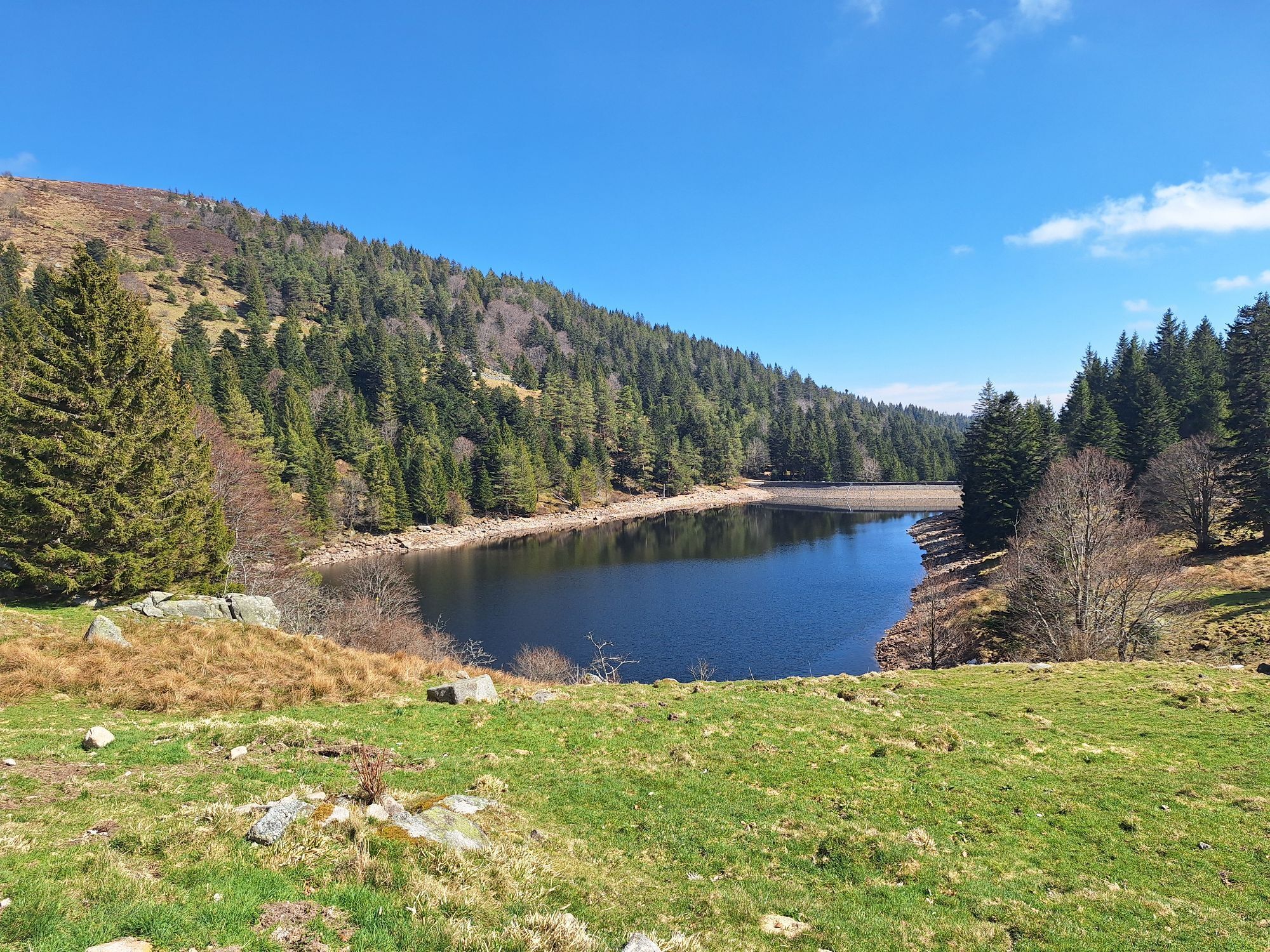
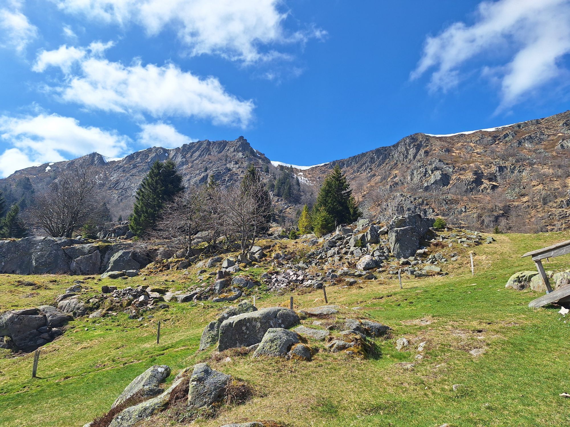
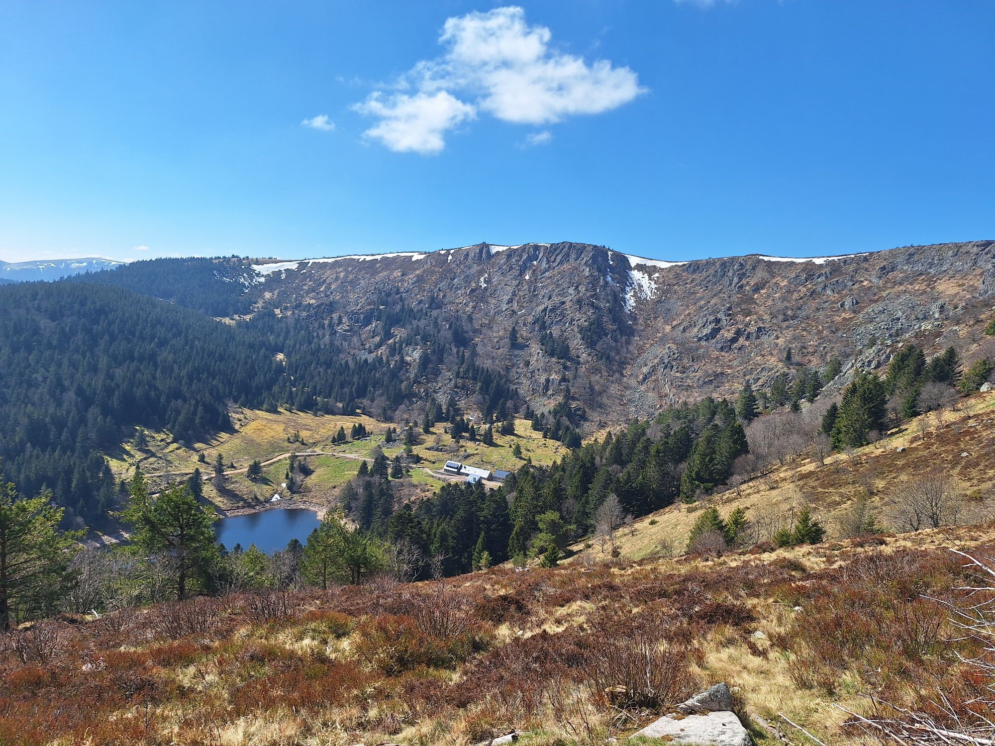
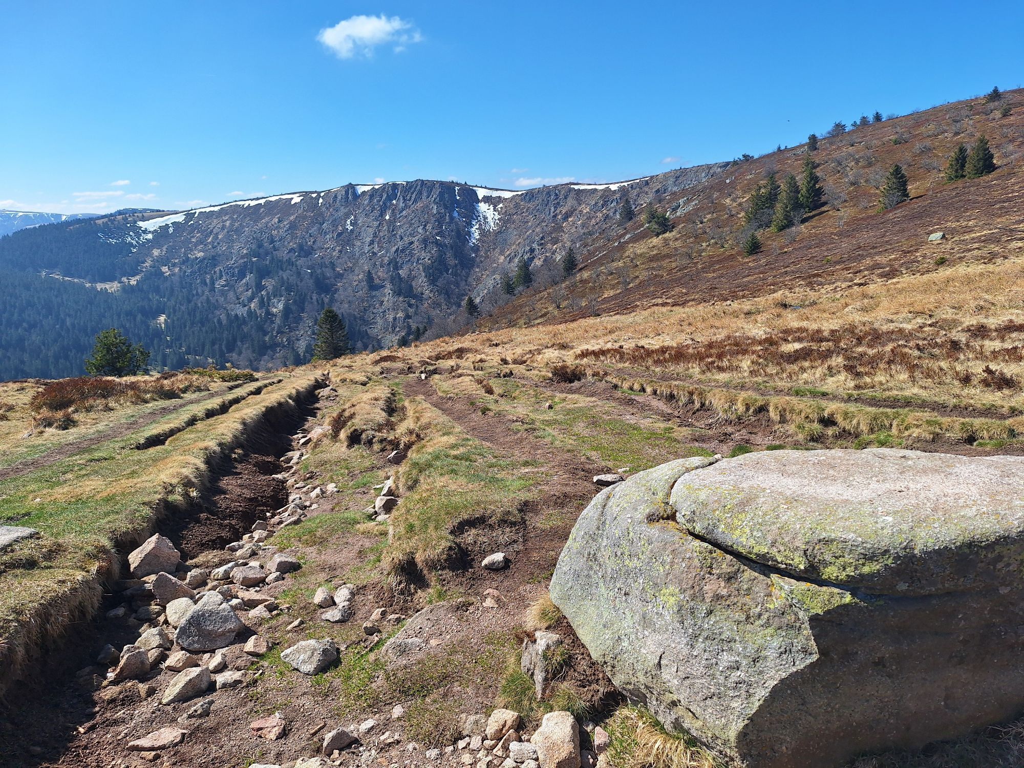
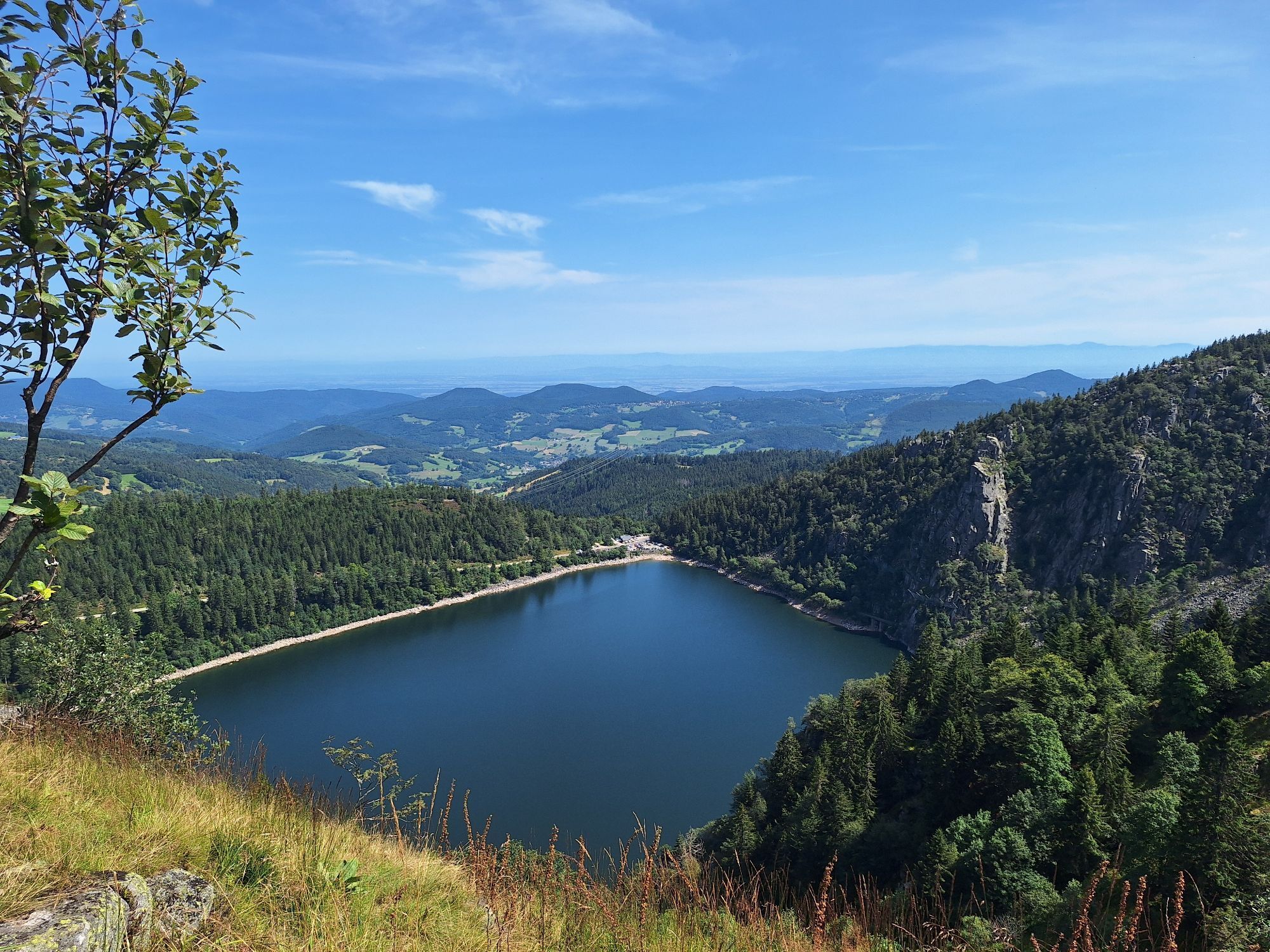
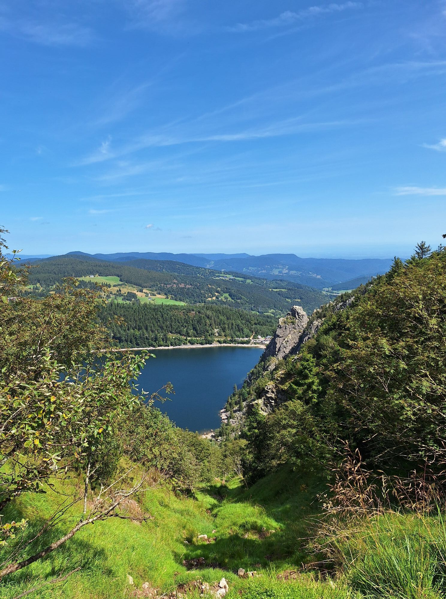
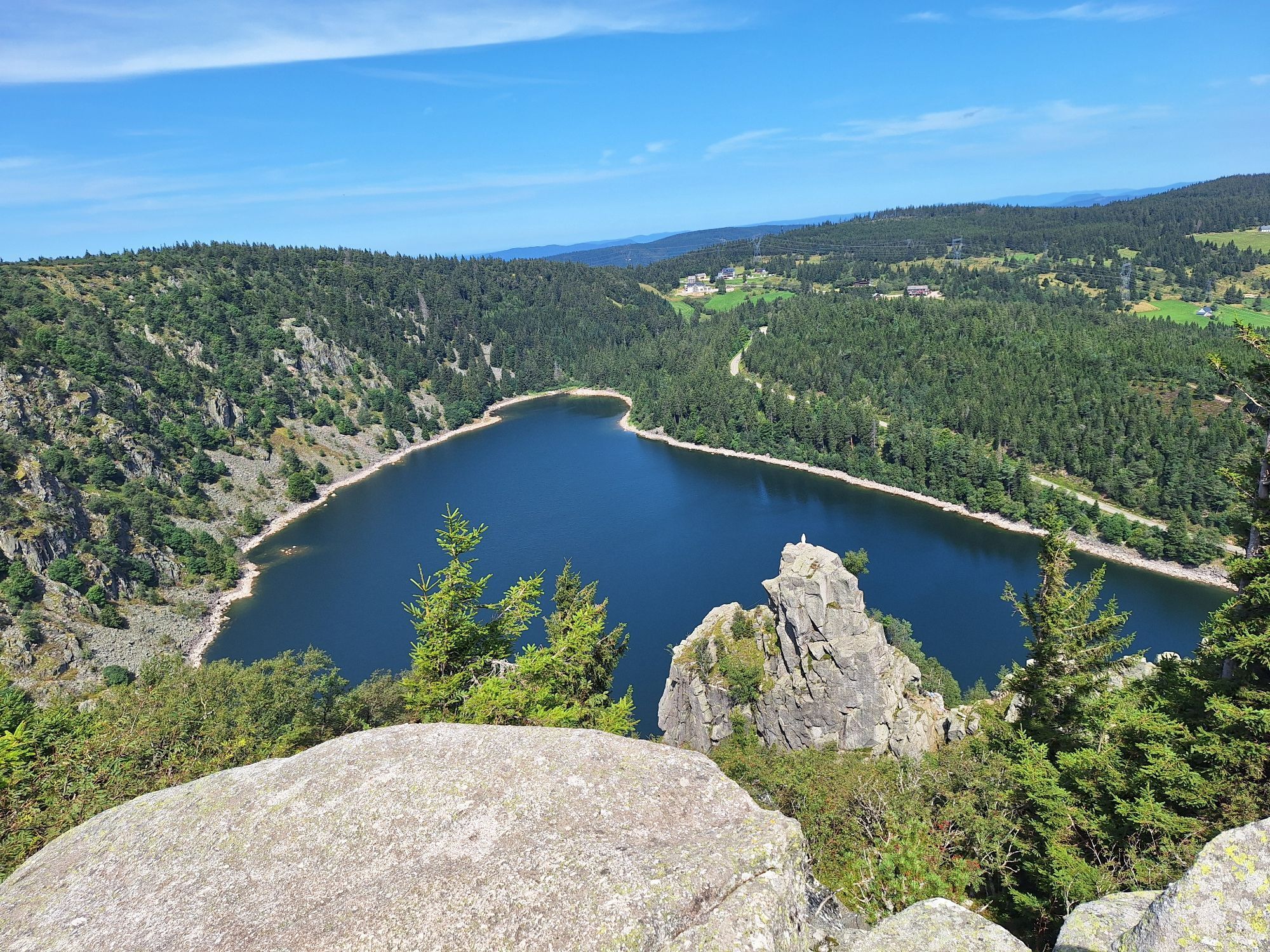
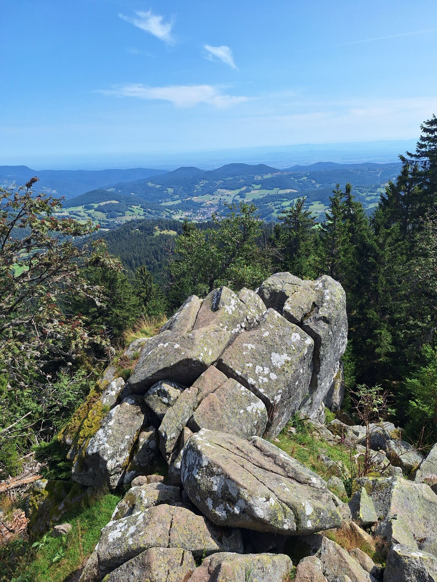
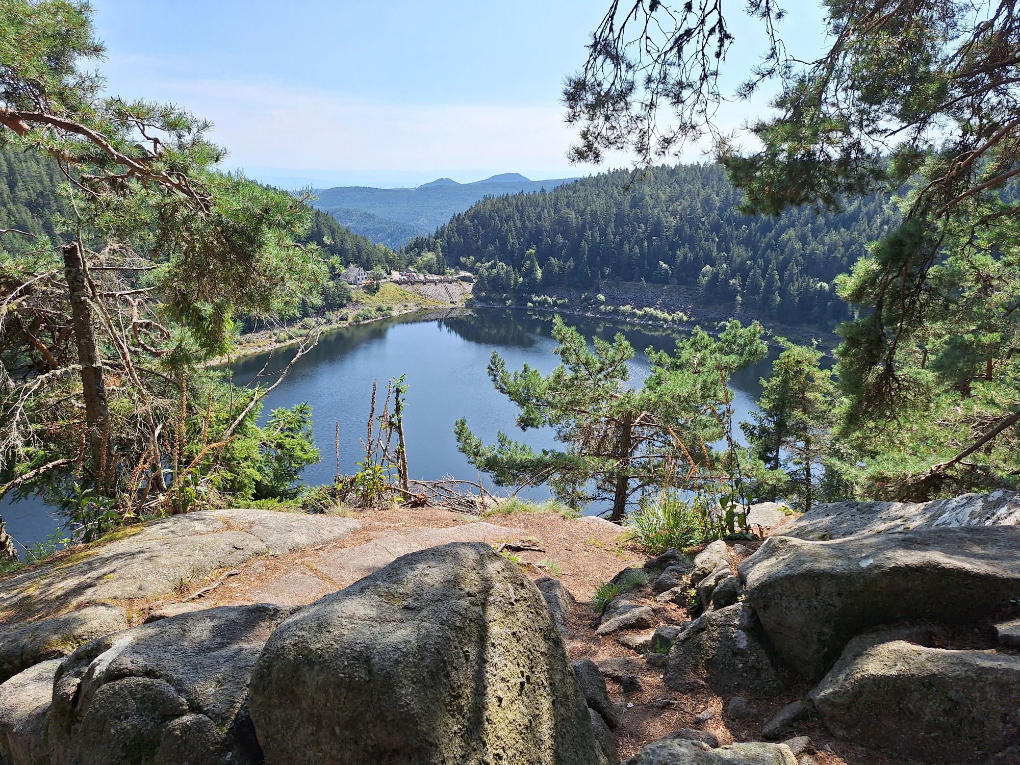
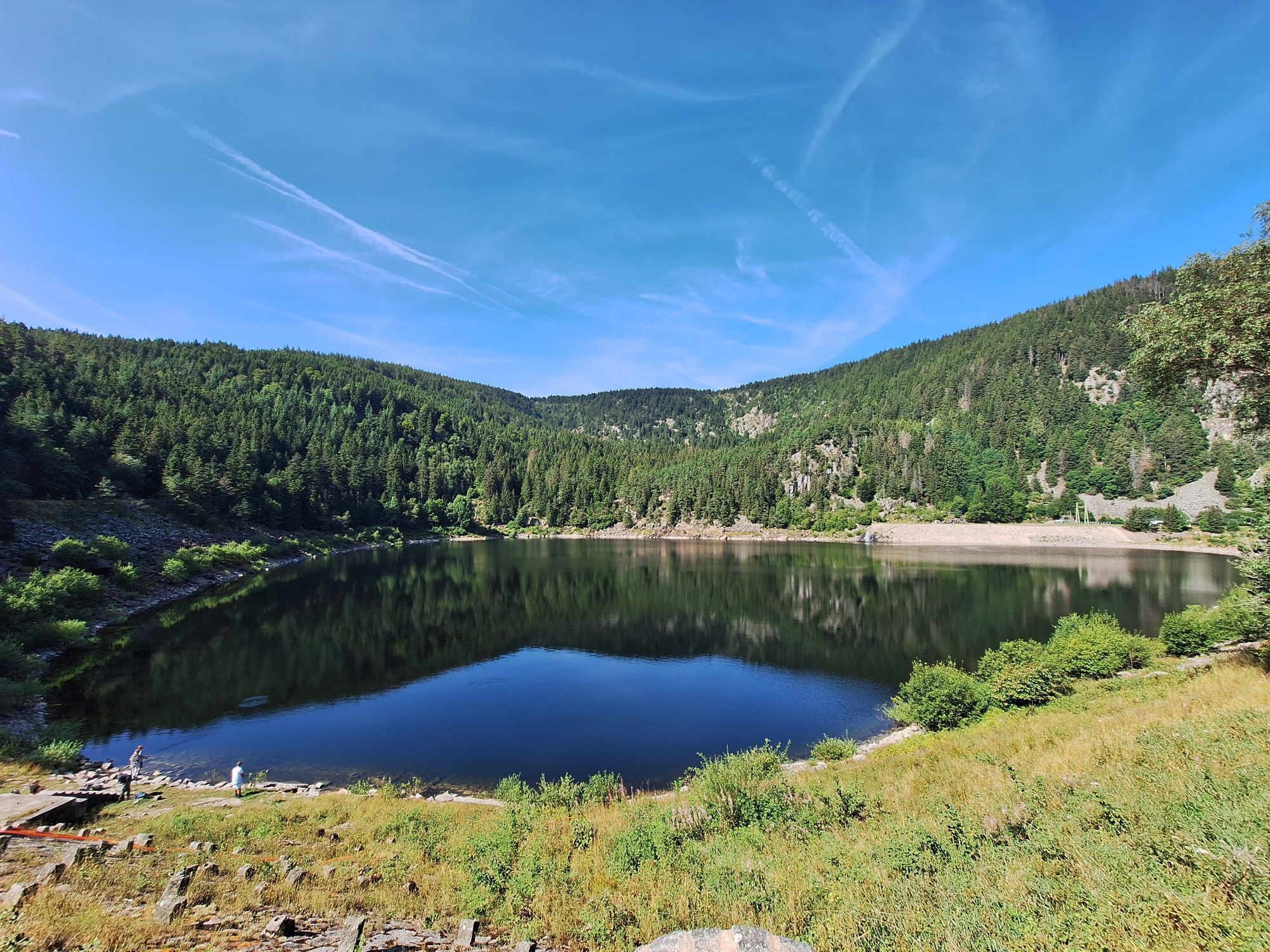
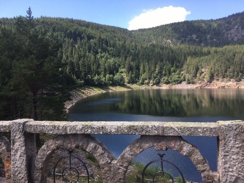
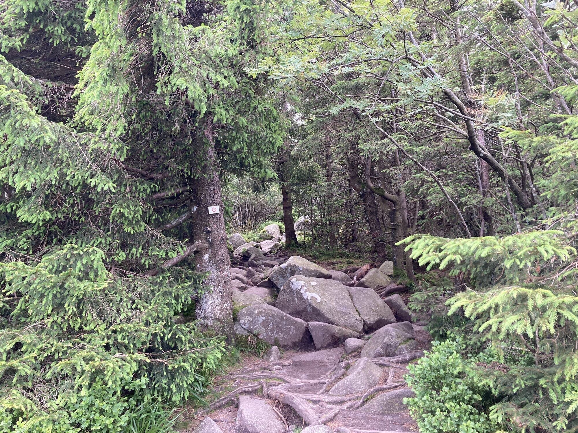
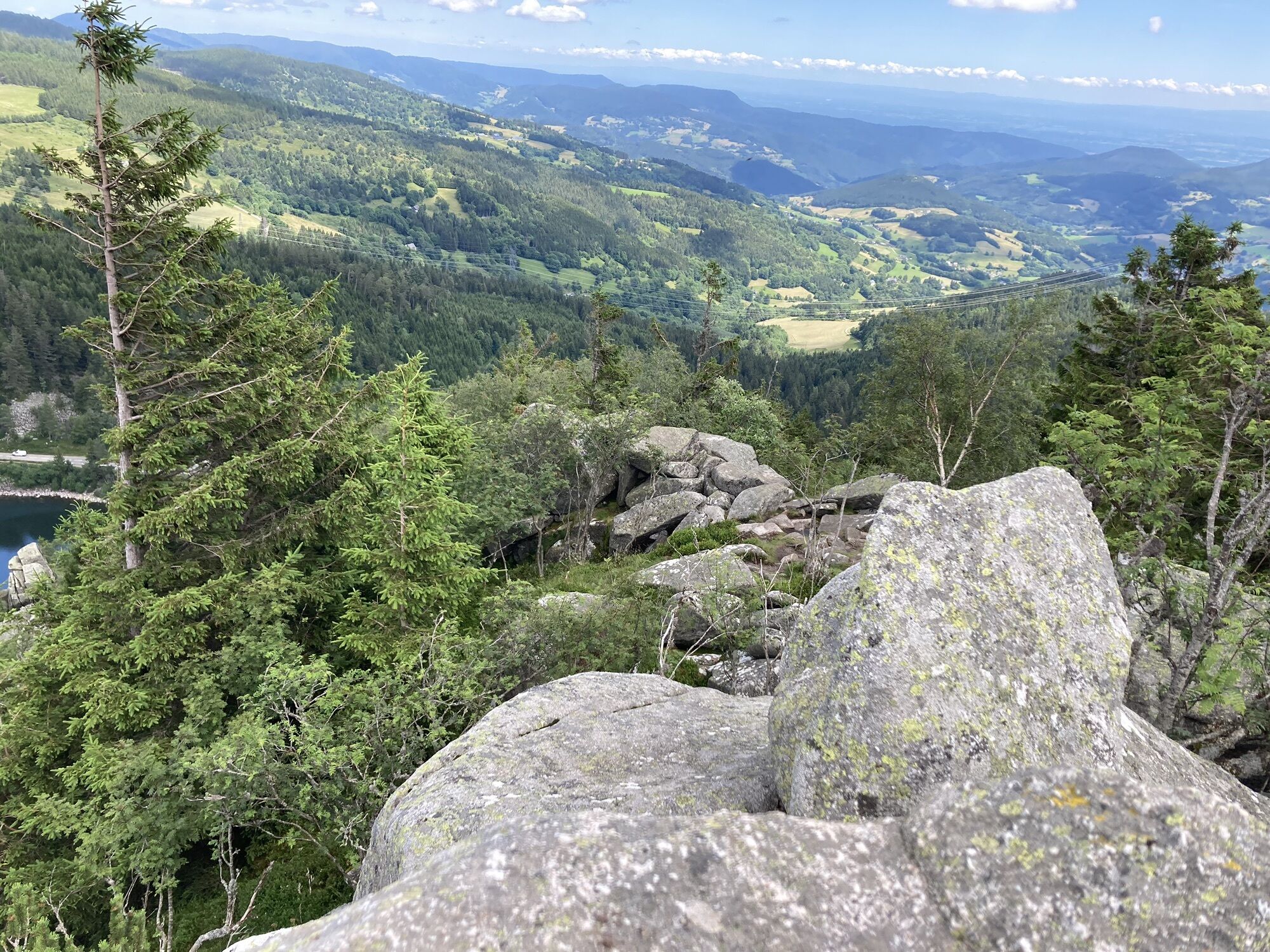
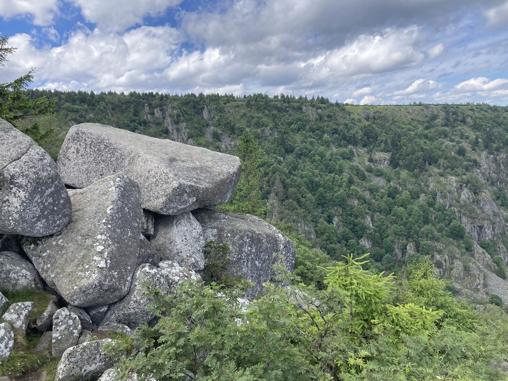
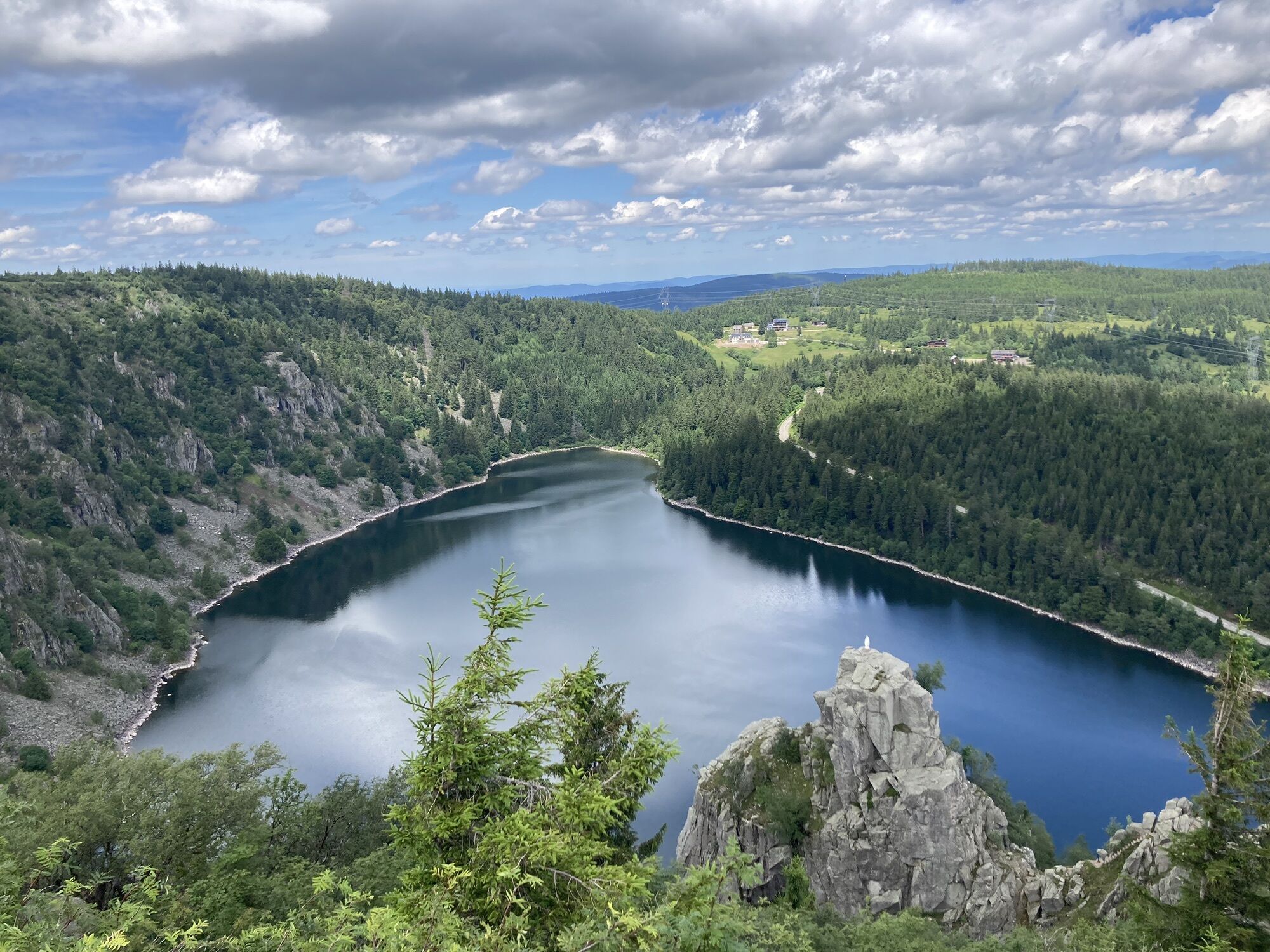
The route continues towards the Tête des Faux Massif, where numerous relics from the First World War still remain. The descent into the valley leads you to the unmissable Tour du Faudé, offering a 360°...
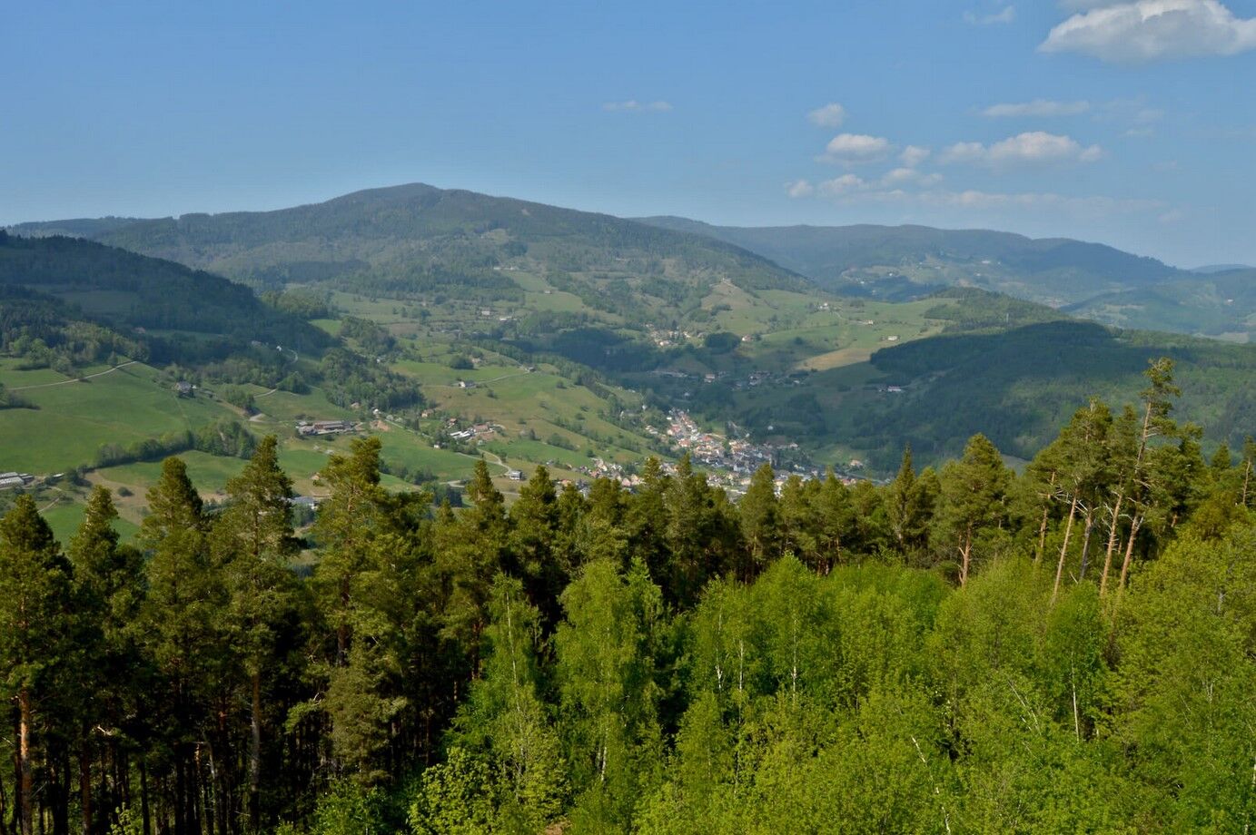
The route continues towards the Tête des Faux Massif, where numerous relics from the First World War still remain. The descent into the valley leads you to the unmissable Tour du Faudé, offering a 360° panoramic view over the Pays Welche countryside.
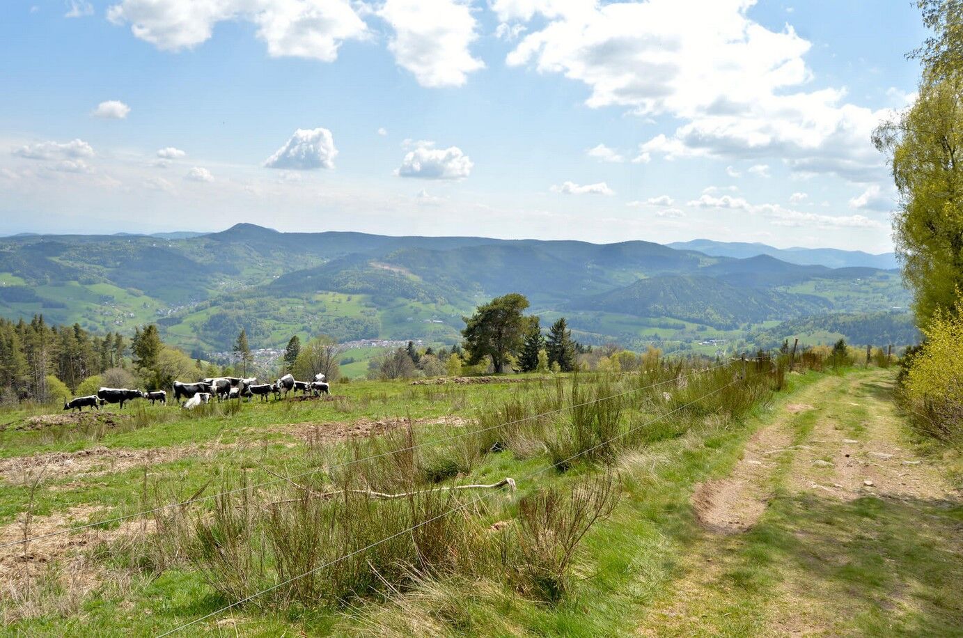
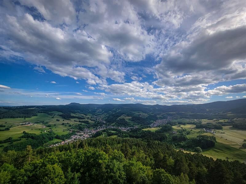
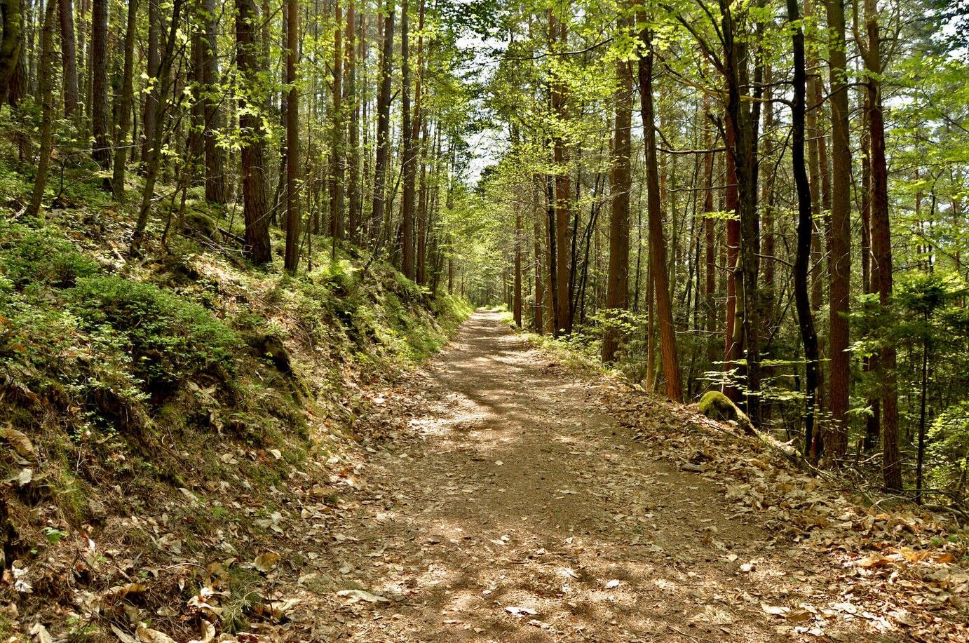
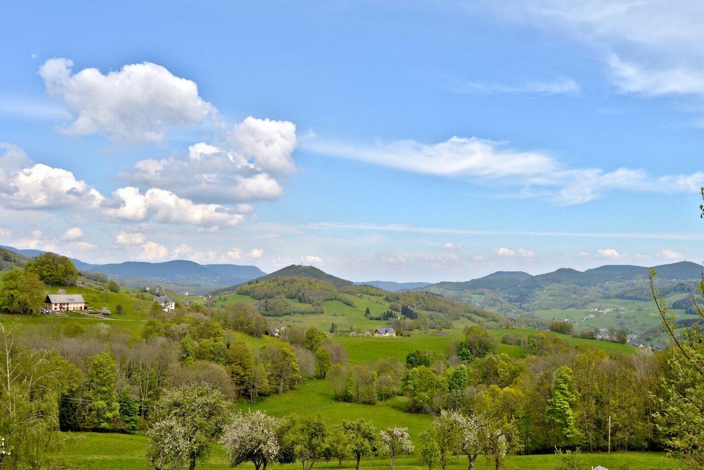
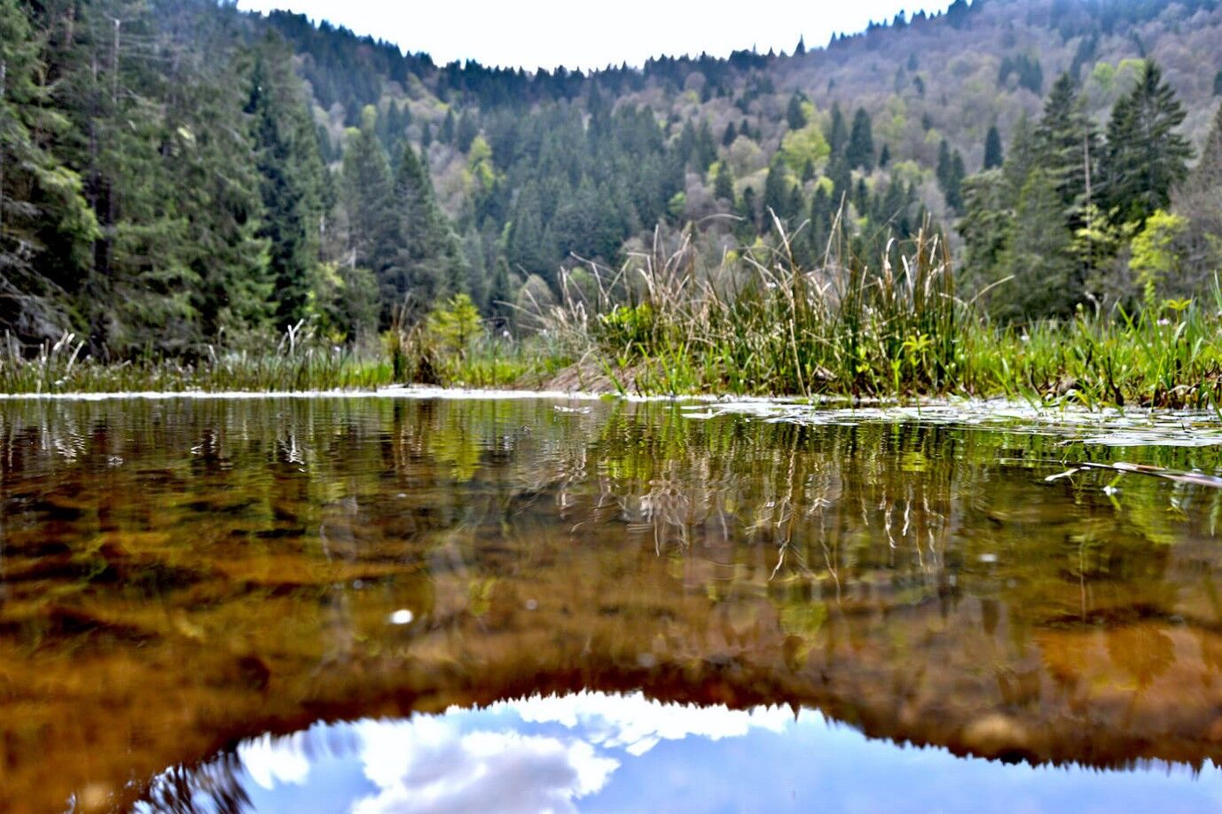
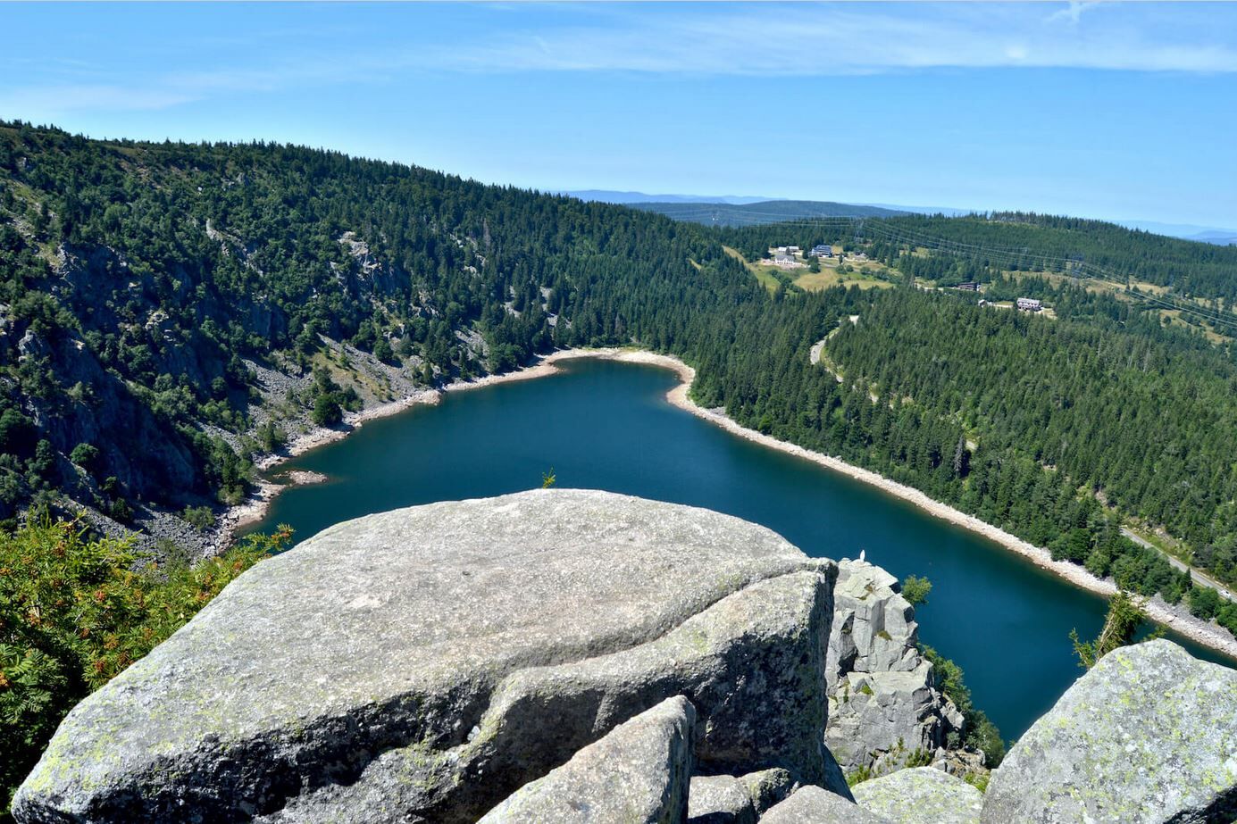

Day 1 Orbey - Lac Noir: 13km
Day 2 Lac Noir - Le Bonhomme (accommodation at l'Etang du Devin - Lapoutroie): 12km
Day 3 Bonhomme - Orbey: 11km
Ano
Clothing suited to the season and conditions (cold, hot, humid…)
Hiking shoes suited to the terrain (even for children!)
Telescopic poles (useful for stability and to relieve joints)
Mobile phone and spare battery if needed
Check the general and local weather to ensure no precipitation
Inform yourself about the approach walk, itinerary altitude, travel time, possible escape routes (IGN map, GPS, guidebook, etc.)
Assess possible risks by consulting mountain professionals, refuges, lodges. Inform a close contact of your objective and update them in case of change: departure and return times, number of participants with each phone number, vehicle(s), parking
Avoid leaving alone, use equipment suitable for the activity, adjusted and in good condition, headlamp, full first aid kit, survival blanket, etc.
In case of problem, call 112 (European emergency number)
T1
Kaysersberg Valley Tourist Office
39 Rue du Général de Gaulle
68240 Kaysersberg Vignoble
Tel: 03 89 78 22 78
info@kaysersberg.com


Oblíbené prohlídky v okolí
-
4.3
Hiking route - the circuit of the 3 lakes
středníTuristika 12.7 km -
5.0
Le tétras bistrot - Hohneck - Chapelle Notre-Dame-des-Chaumes - Brasserie de la Schlucht
heavyTuristika 10.7 km -
5.0
Vogesen Col de la Schlucht
heavyTuristika 19.3 km -
Tour de l'Altenweiher et Rainkopf, Mittlach, France
středníTuristika 12.6 km -
4.8
Longemer Col des Feignes Walk
středníTuristika 8.83 km -
4.7
The Lac Blanc ridge
světloTuristika 5 km -
5.0
From the Schlucht to the Hohneck
středníTuristika 8.21 km -
5.0
Hiking route: The Wormsa waterfalls and Fischboedle lake
středníTuristika 8.15 km -
4.7
Orbey, Grand Est
středníTuristika 4.52 km -
4.0
Le tétras bistrot - Hôtel - Restaurant du Chalet - Chapelle Notre-Dame-des-Chaumes - La Schlucht
středníTuristika 5.95 km
Pěší turistika a stopování


Nenechte si ujít nabídky a inspiraci pro vaši příští dovolenou
Vaše e-mailová adresa byl přidán do poštovního seznamu.





