






Crossing of the Vosges Massif - Stage 06 - Saverne - Wangenbourg - Engenthal
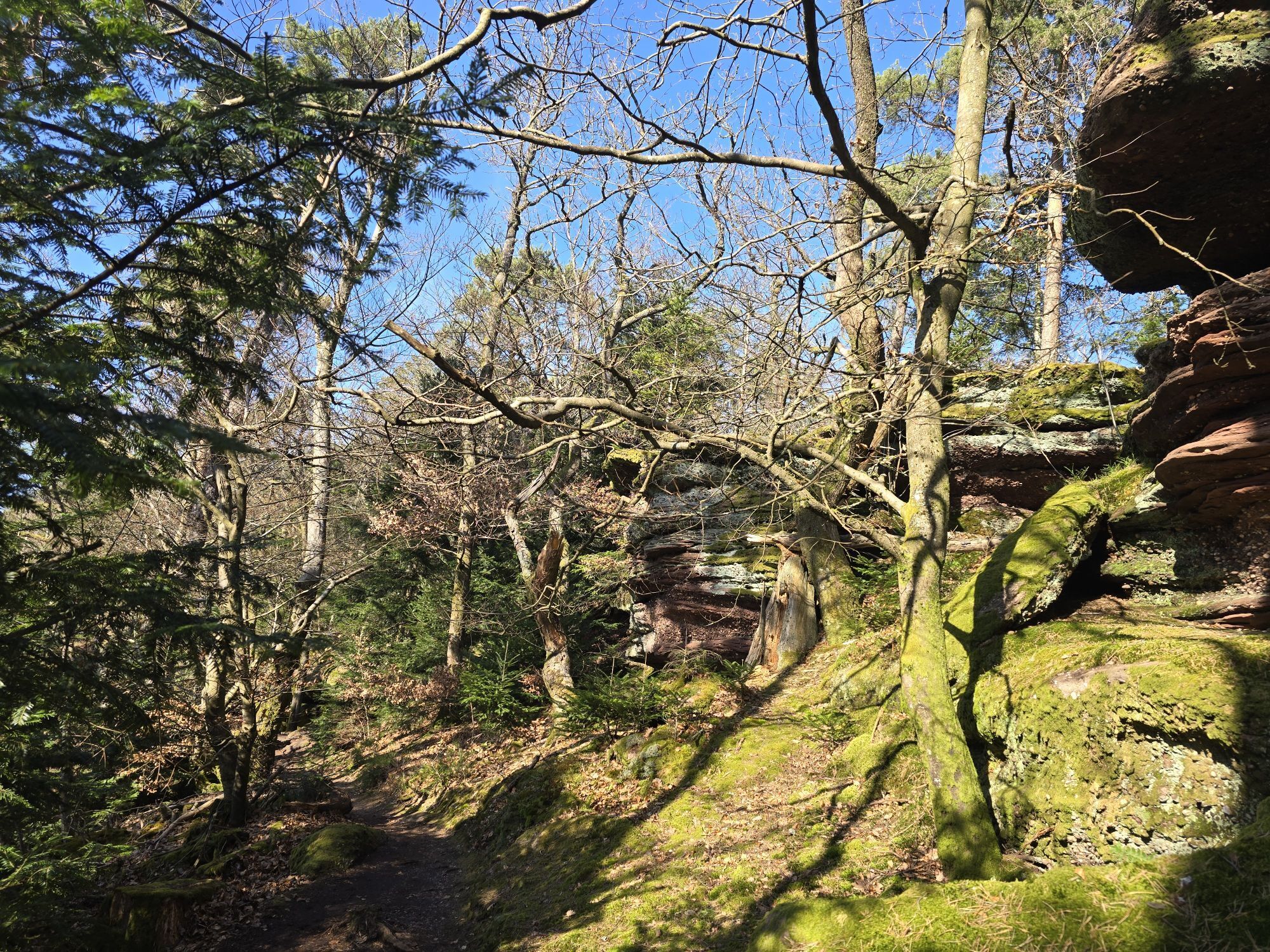
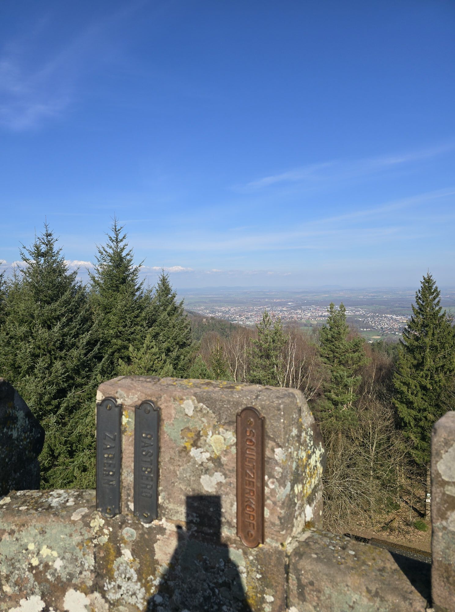
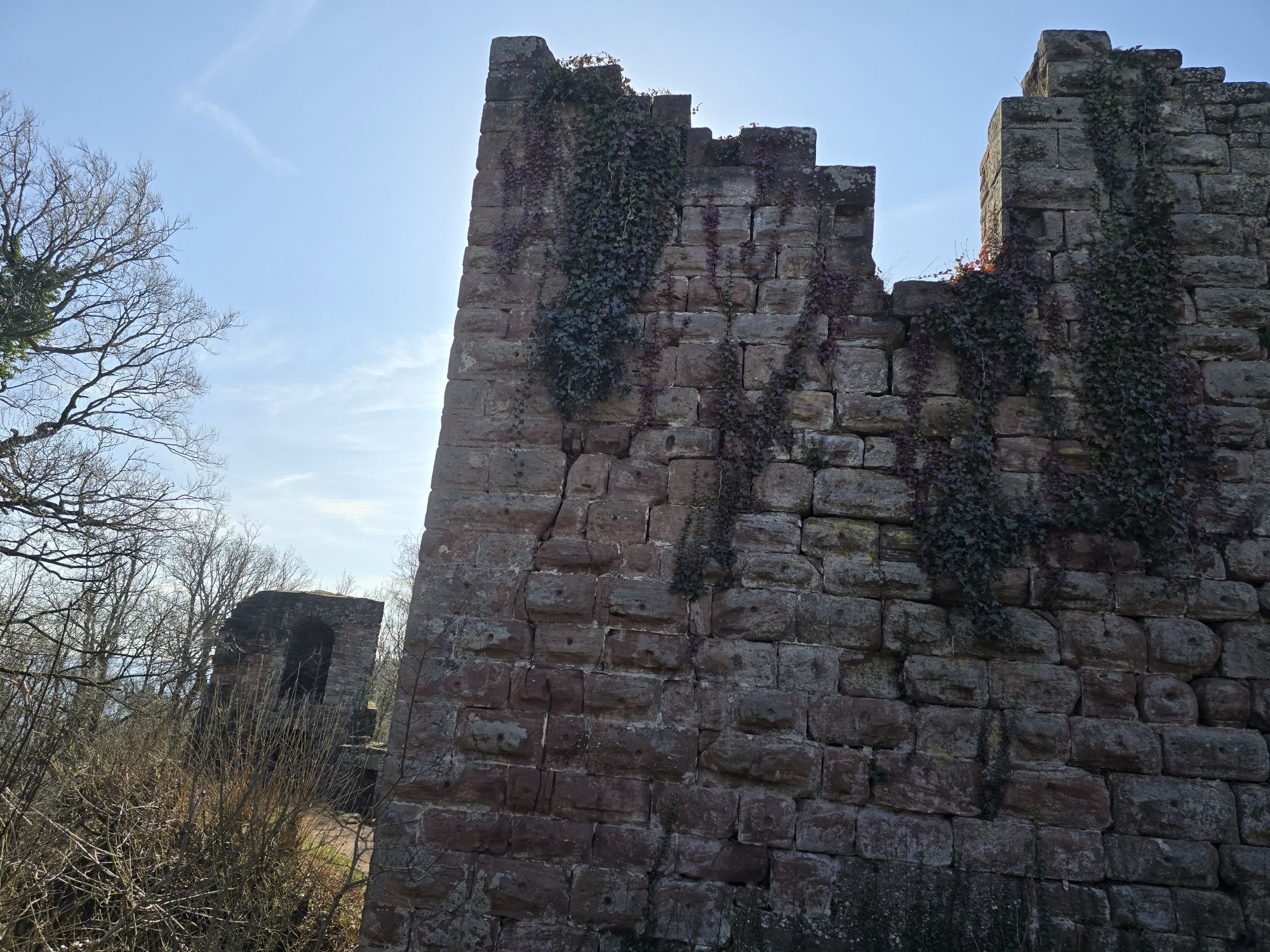
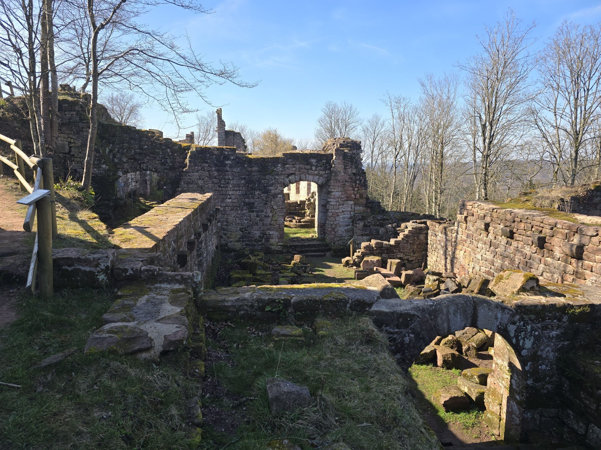
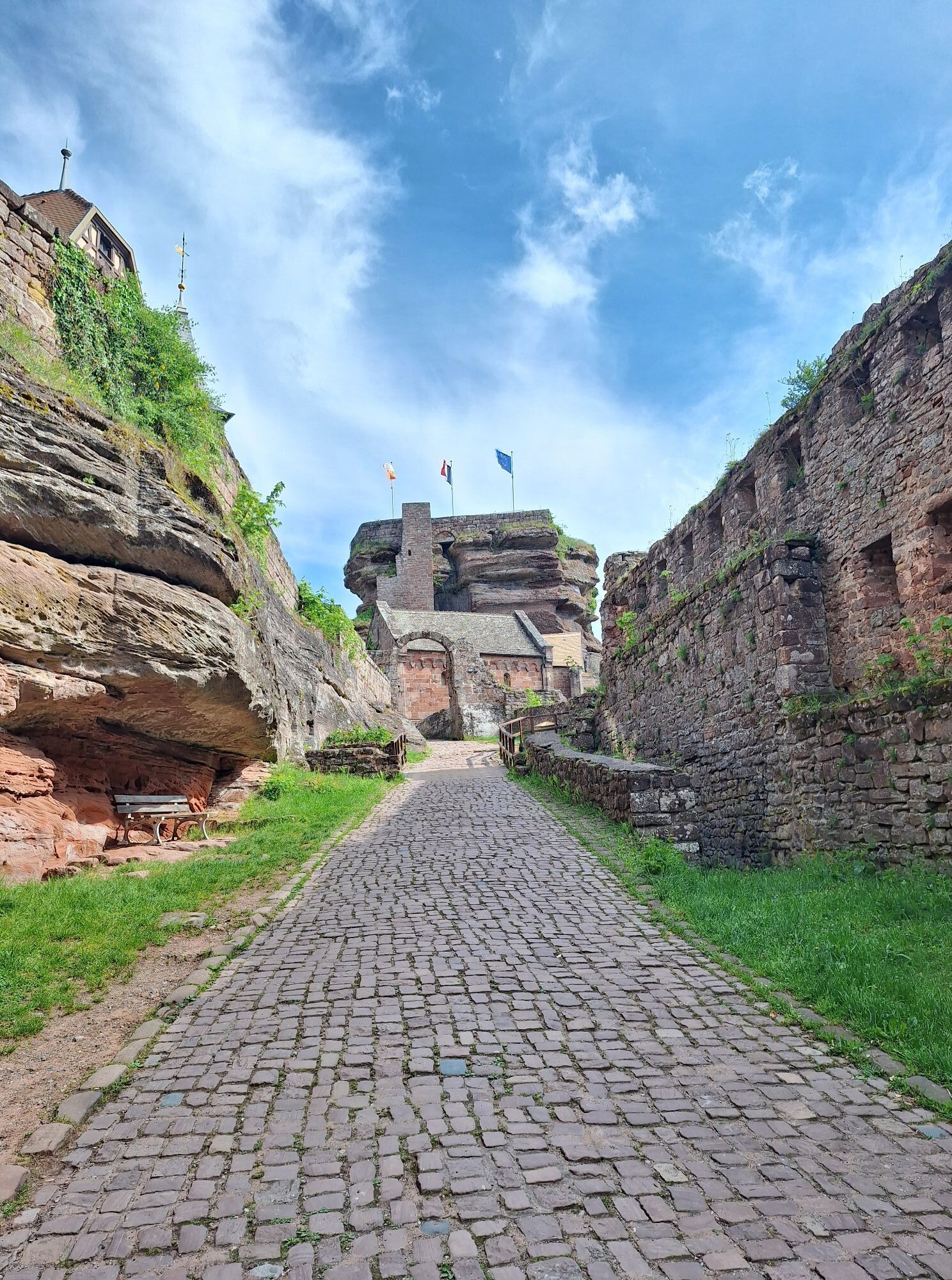
Starting from Saverne, a rich historical heritage is to be discovered, notably with the different castles (Haut-Barr, Geroldseck, Wangenbourg), the Chappe Telegraph Tower, a link in telecommunication between...
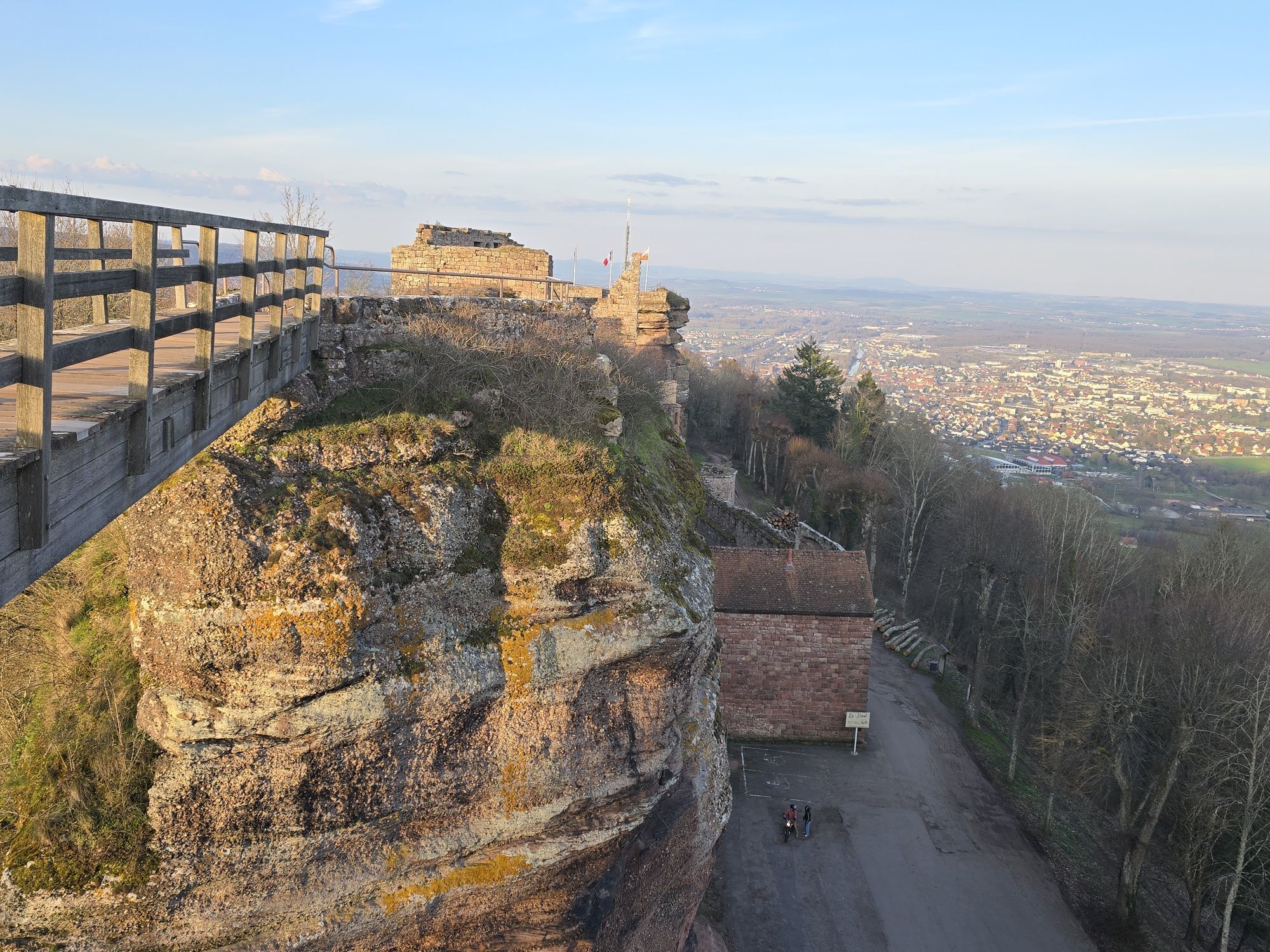
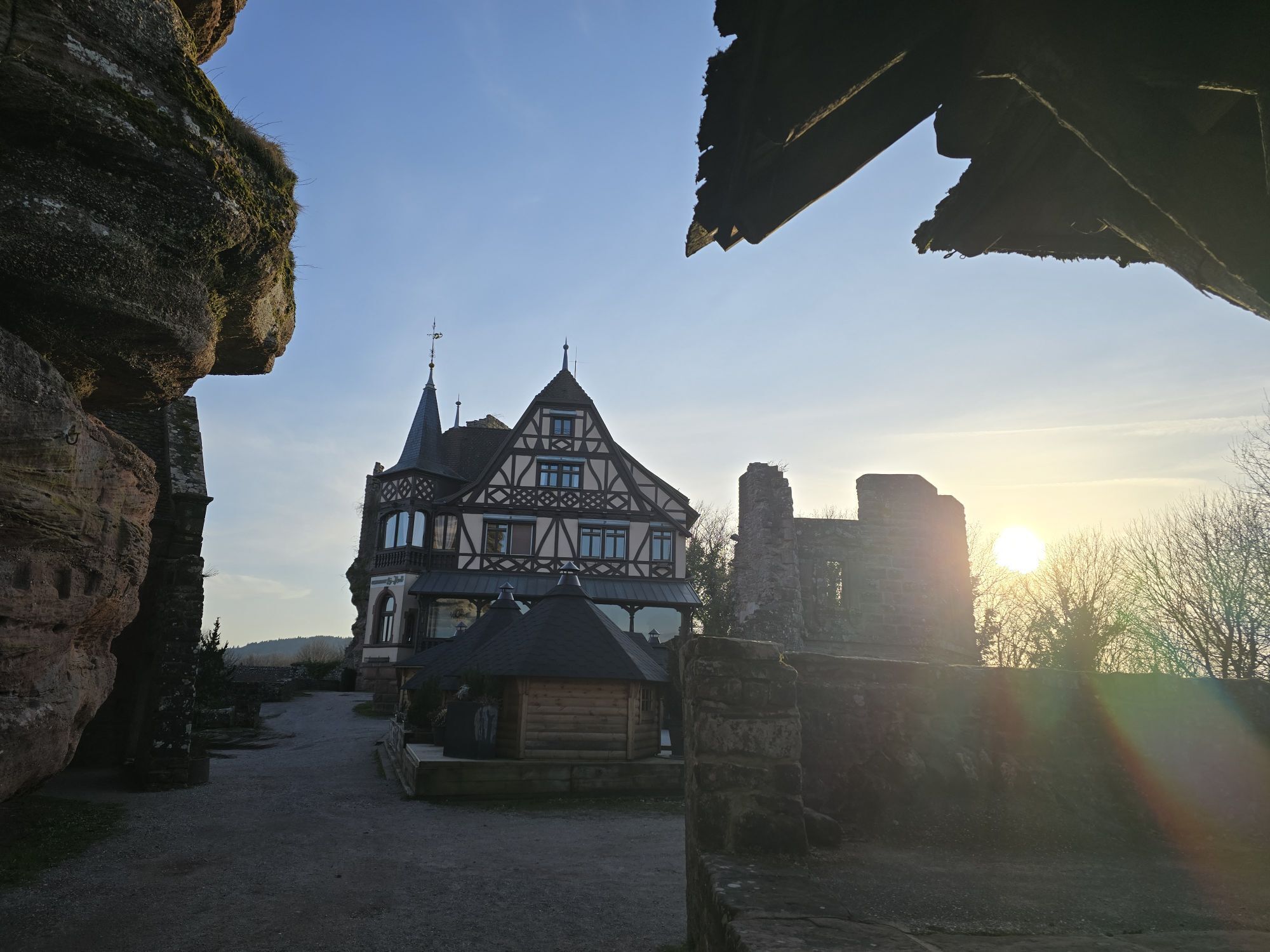
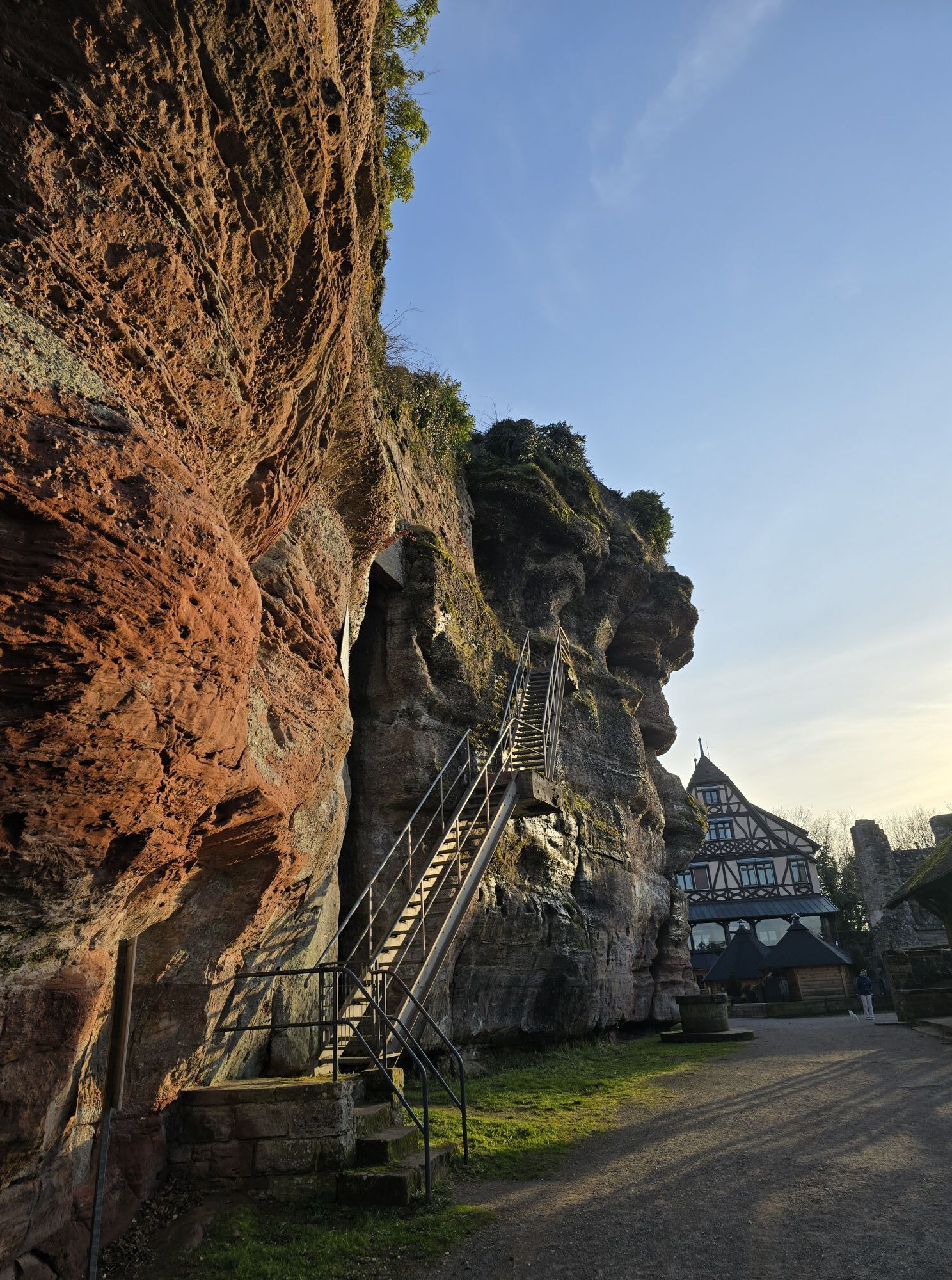
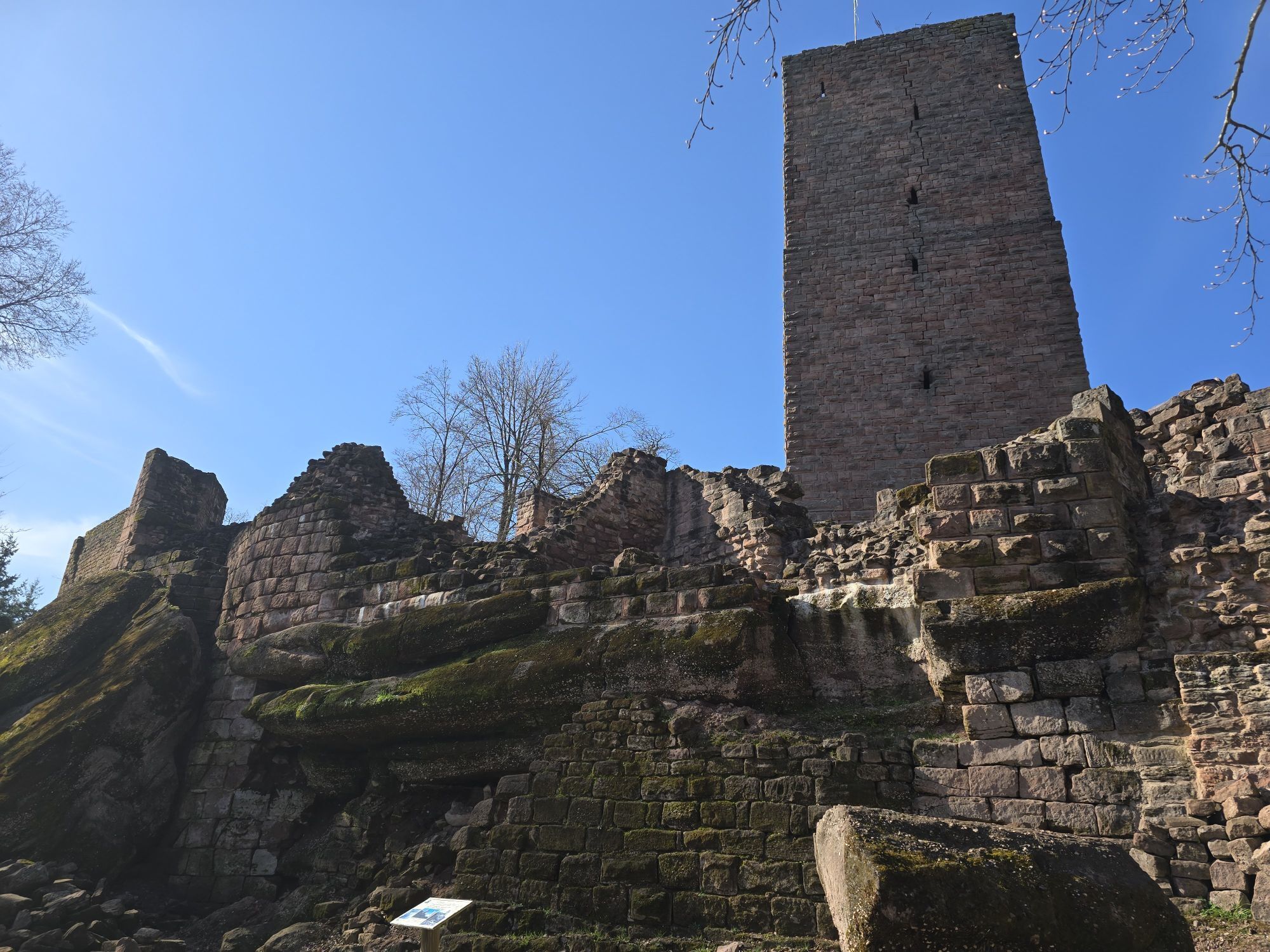
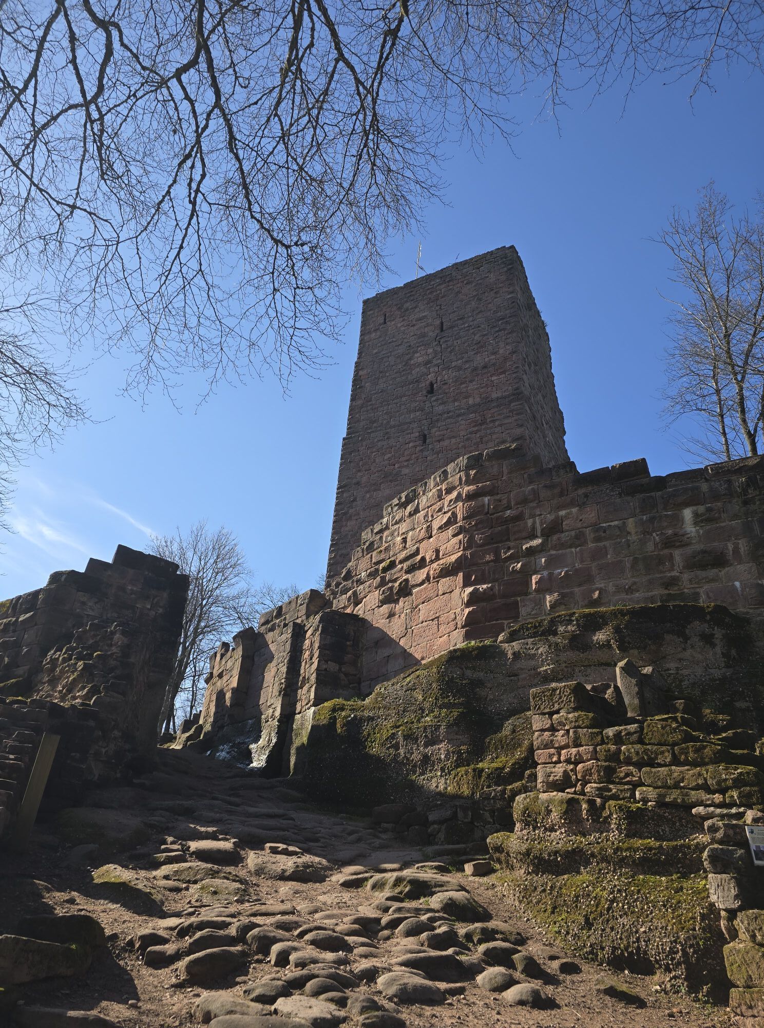
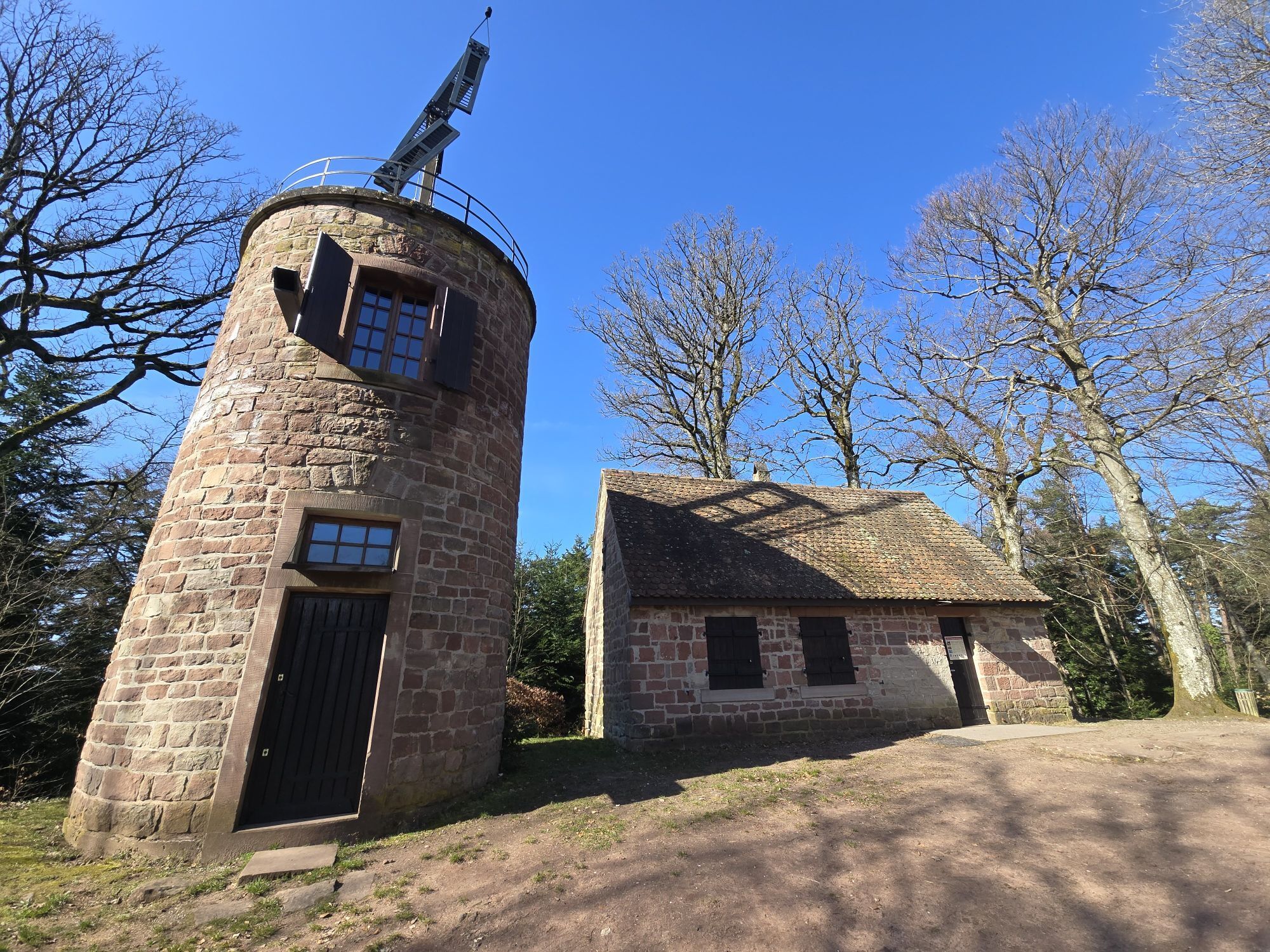
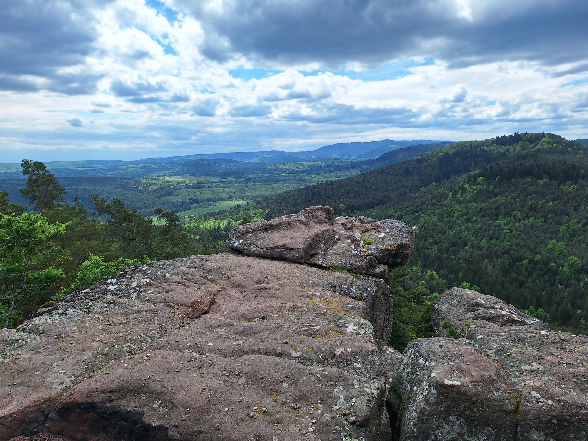
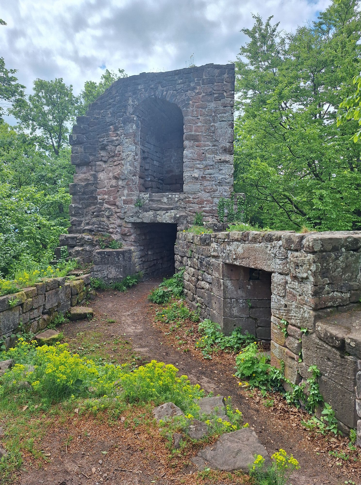
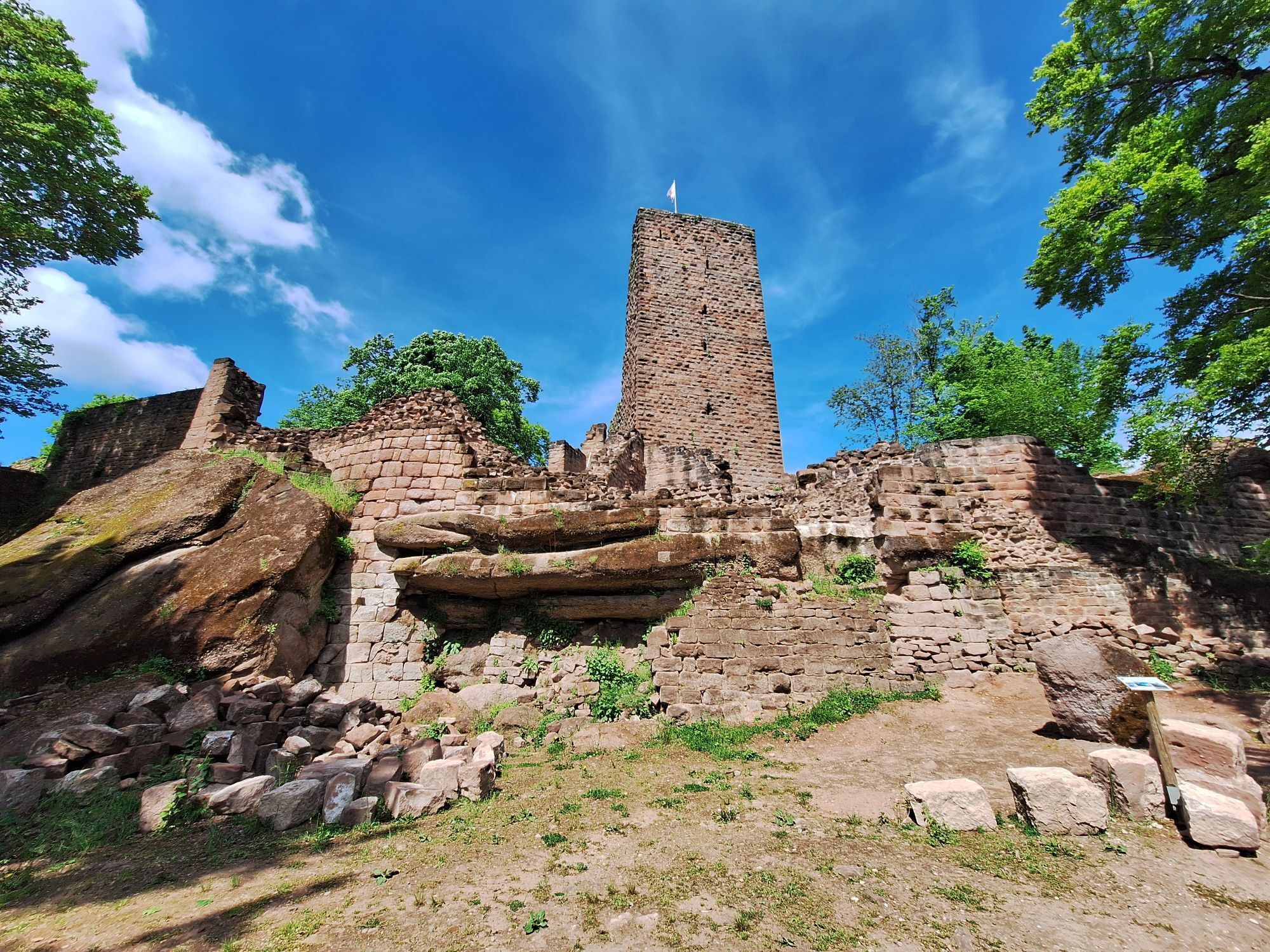
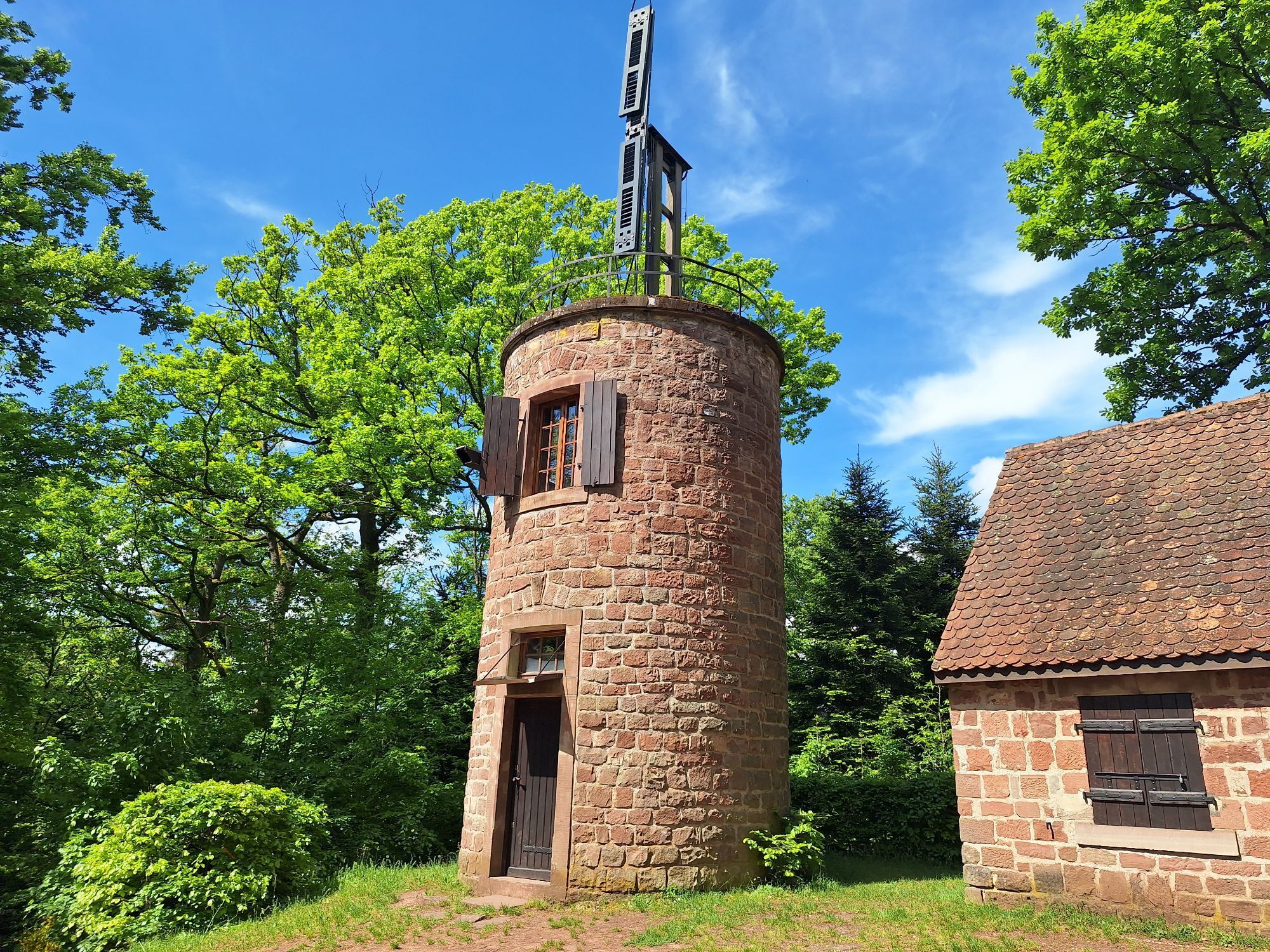
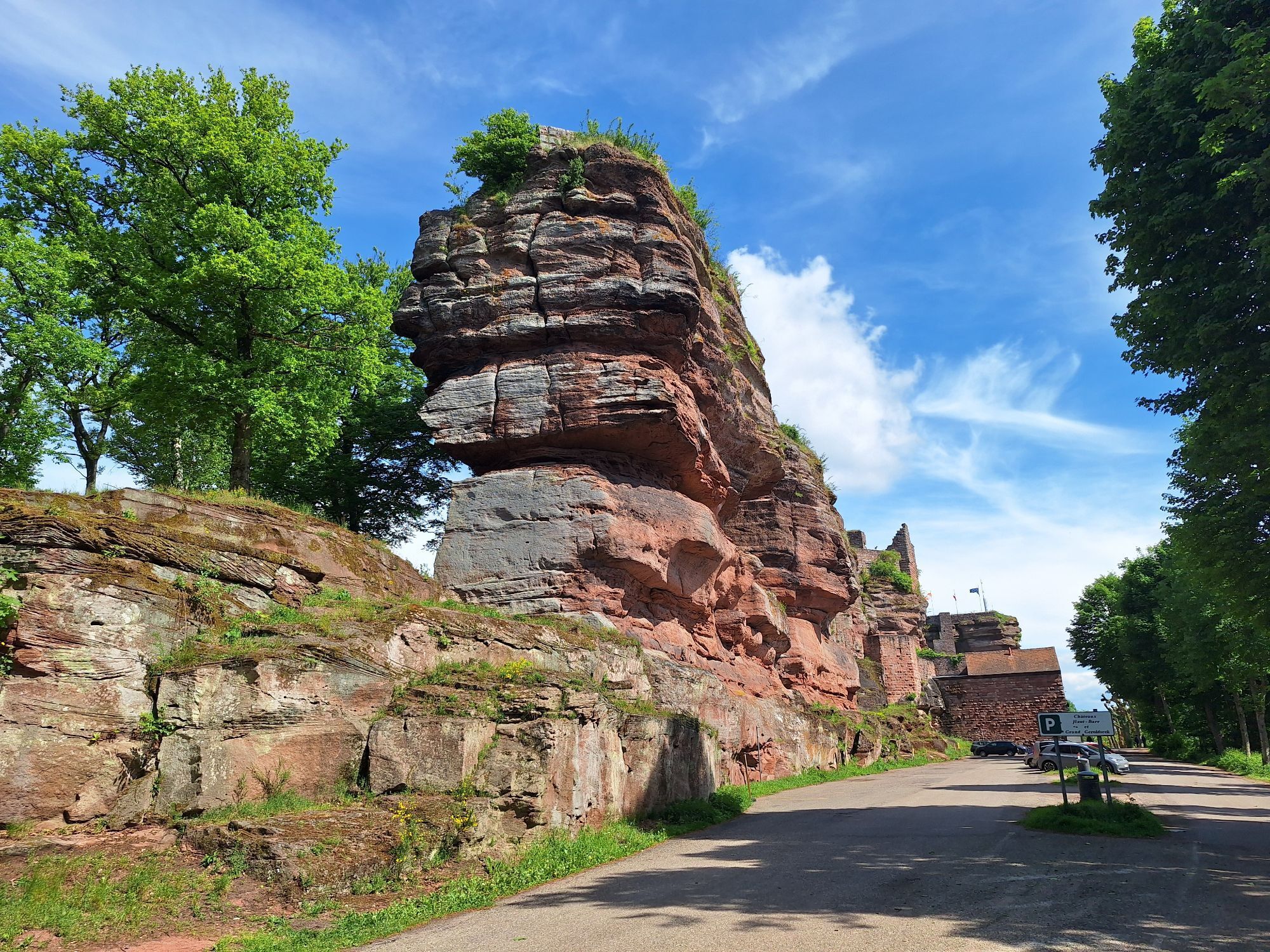
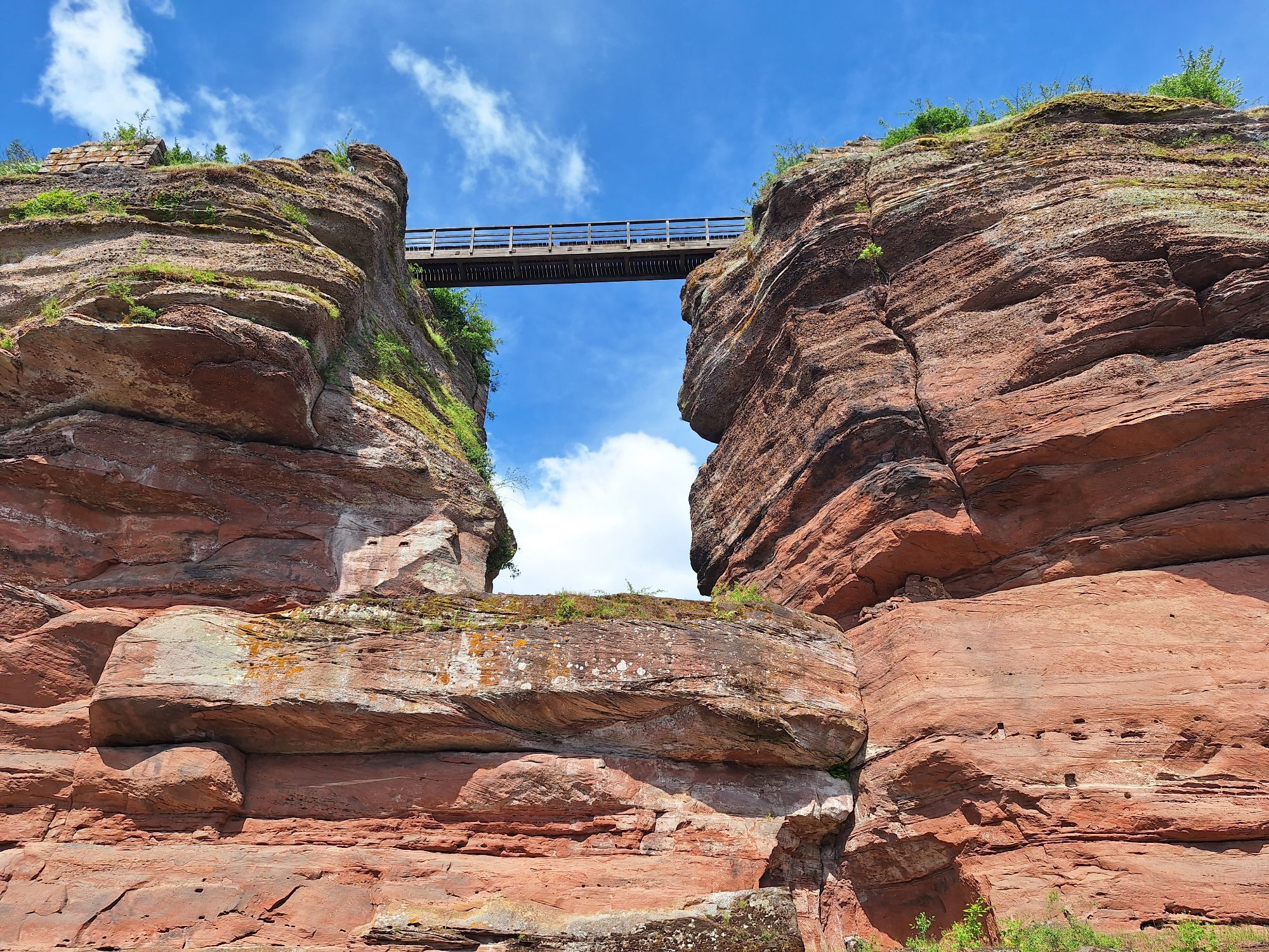
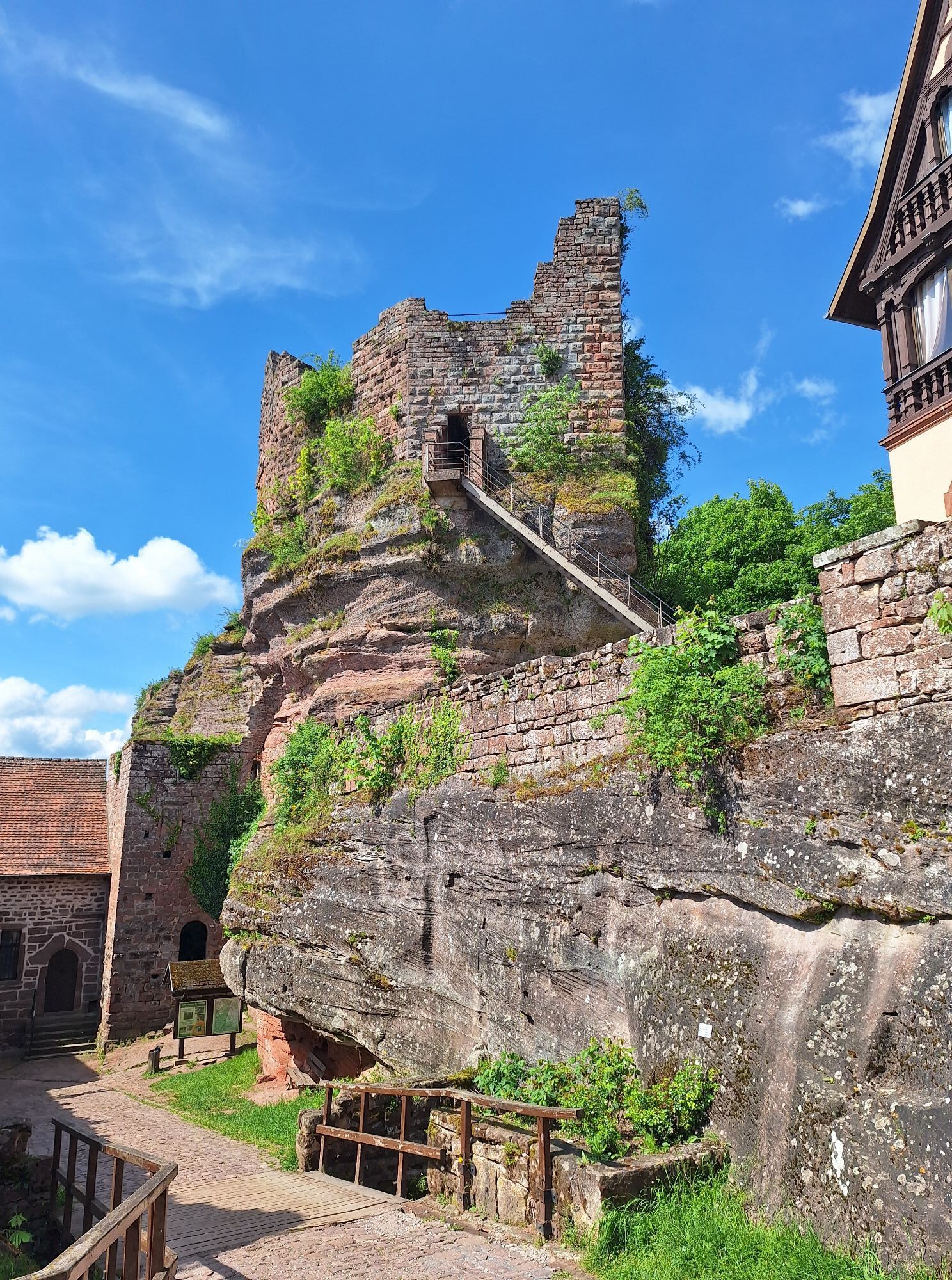
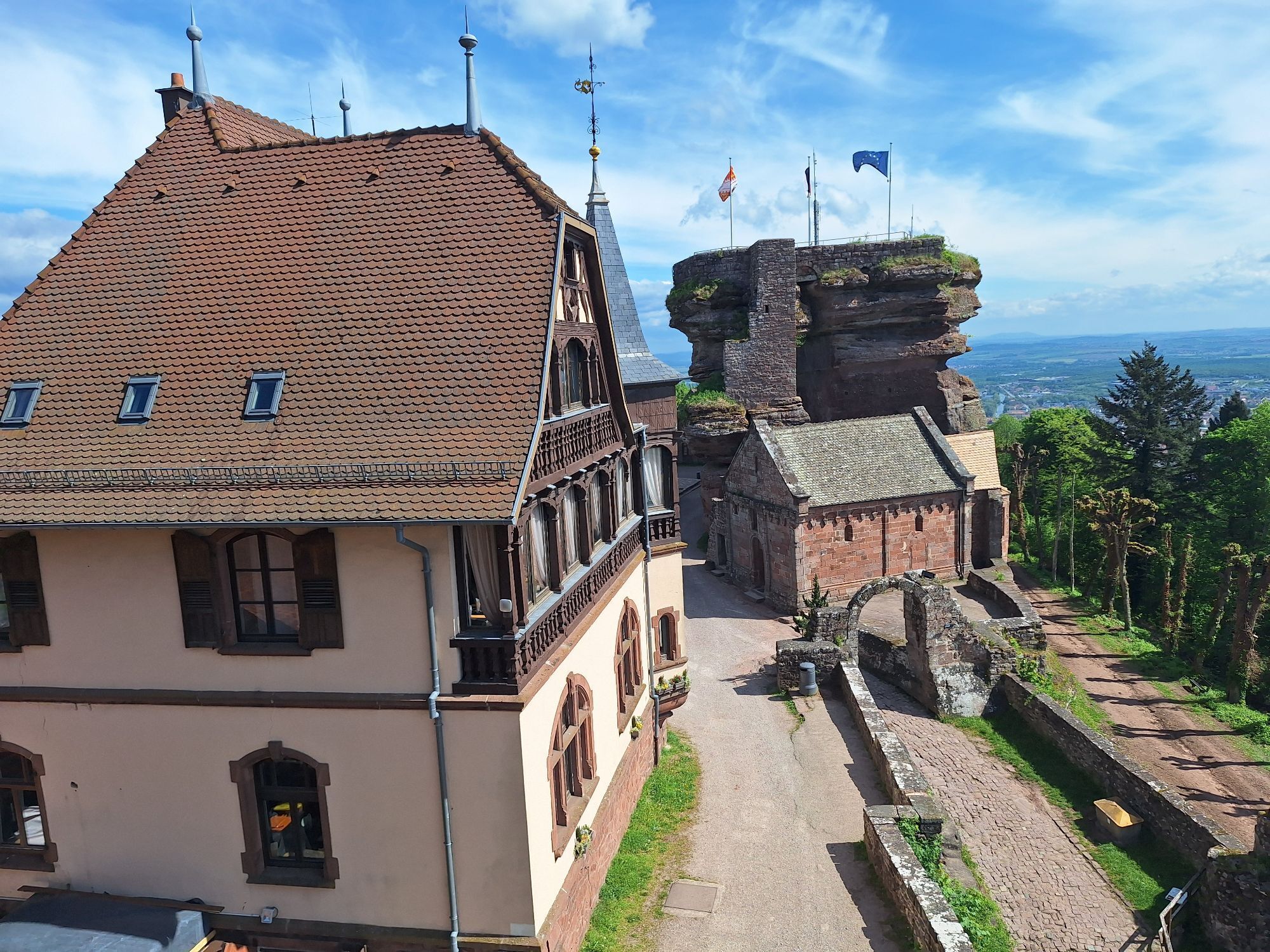
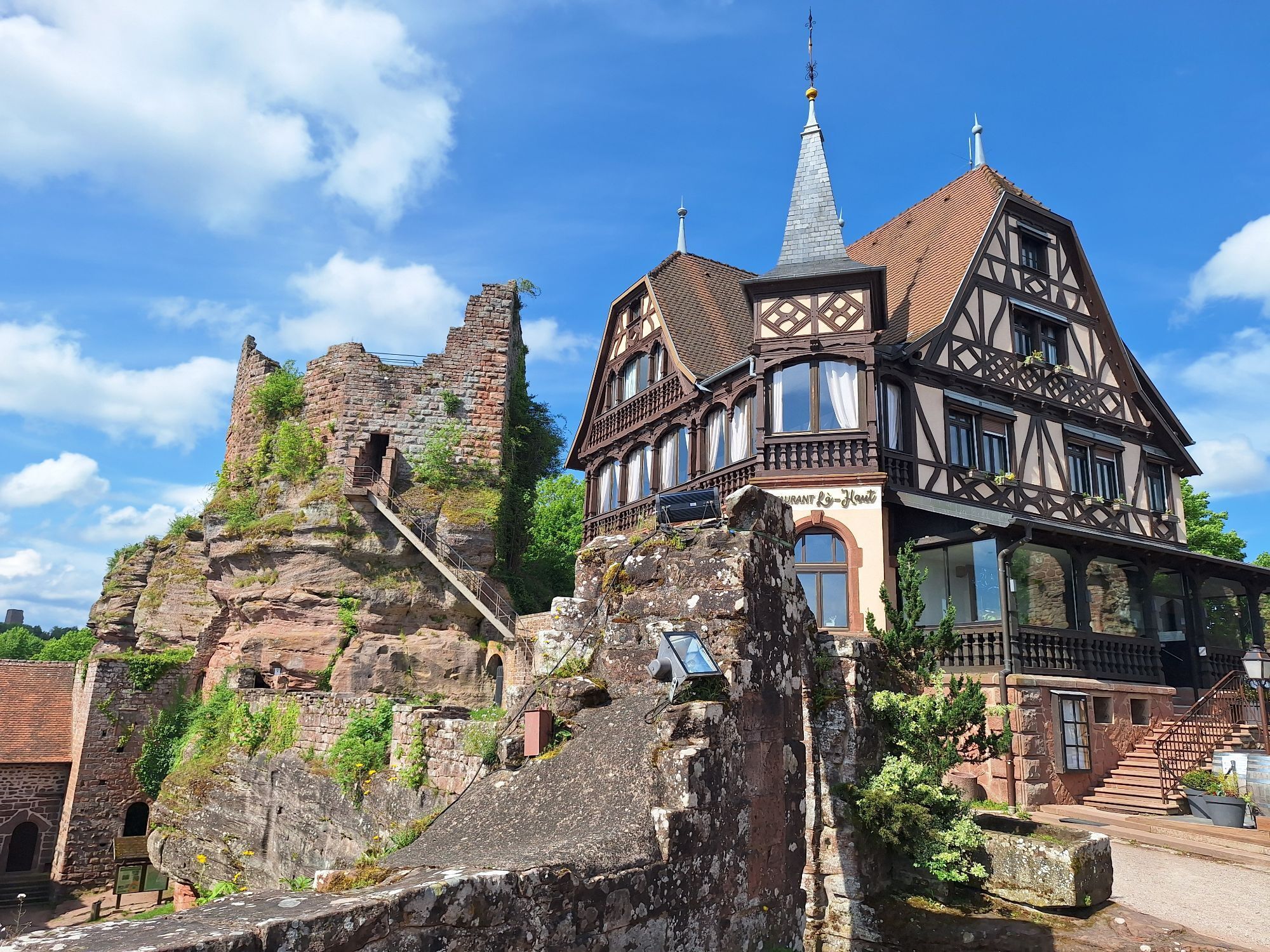
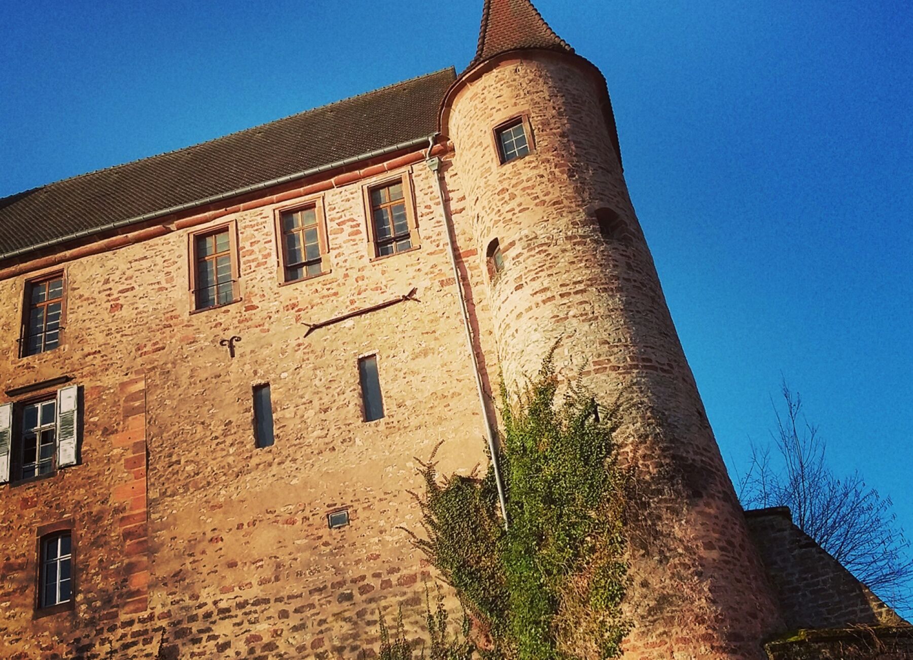
Starting from Saverne, a rich historical heritage is to be discovered, notably with the different castles (Haut-Barr, Geroldseck, Wangenbourg), the Chappe Telegraph Tower, a link in telecommunication between Strasbourg and Paris from 1798 to 1852, but also the Brotsch Tower from which a splendid panorama is offered to the eyes and finally the Rock of Dabo, an impressive pink sandstone block on which there is currently a chapel dedicated to Pope Leo IX.
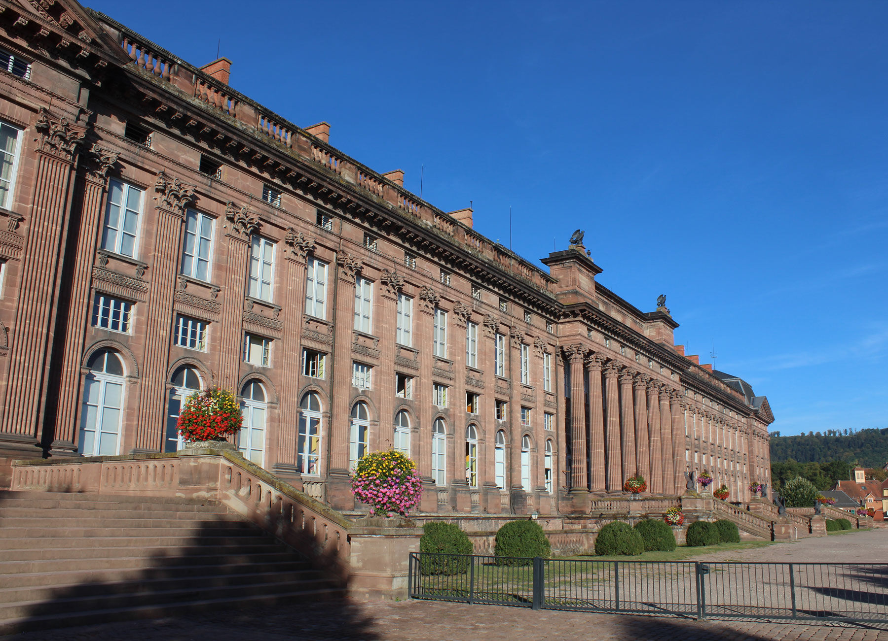
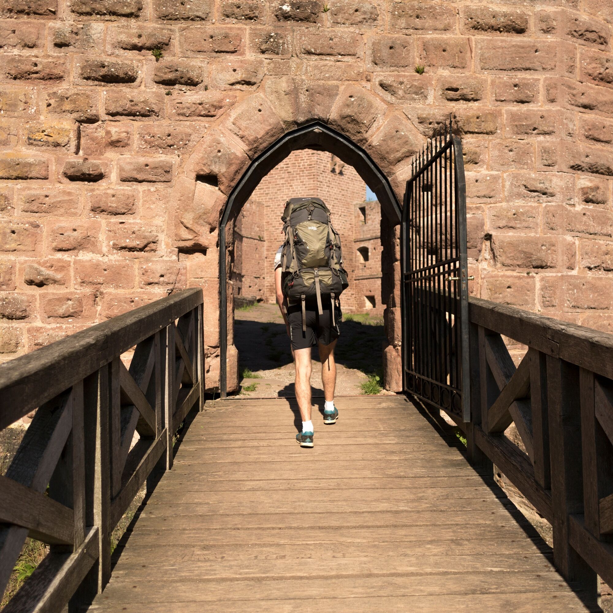
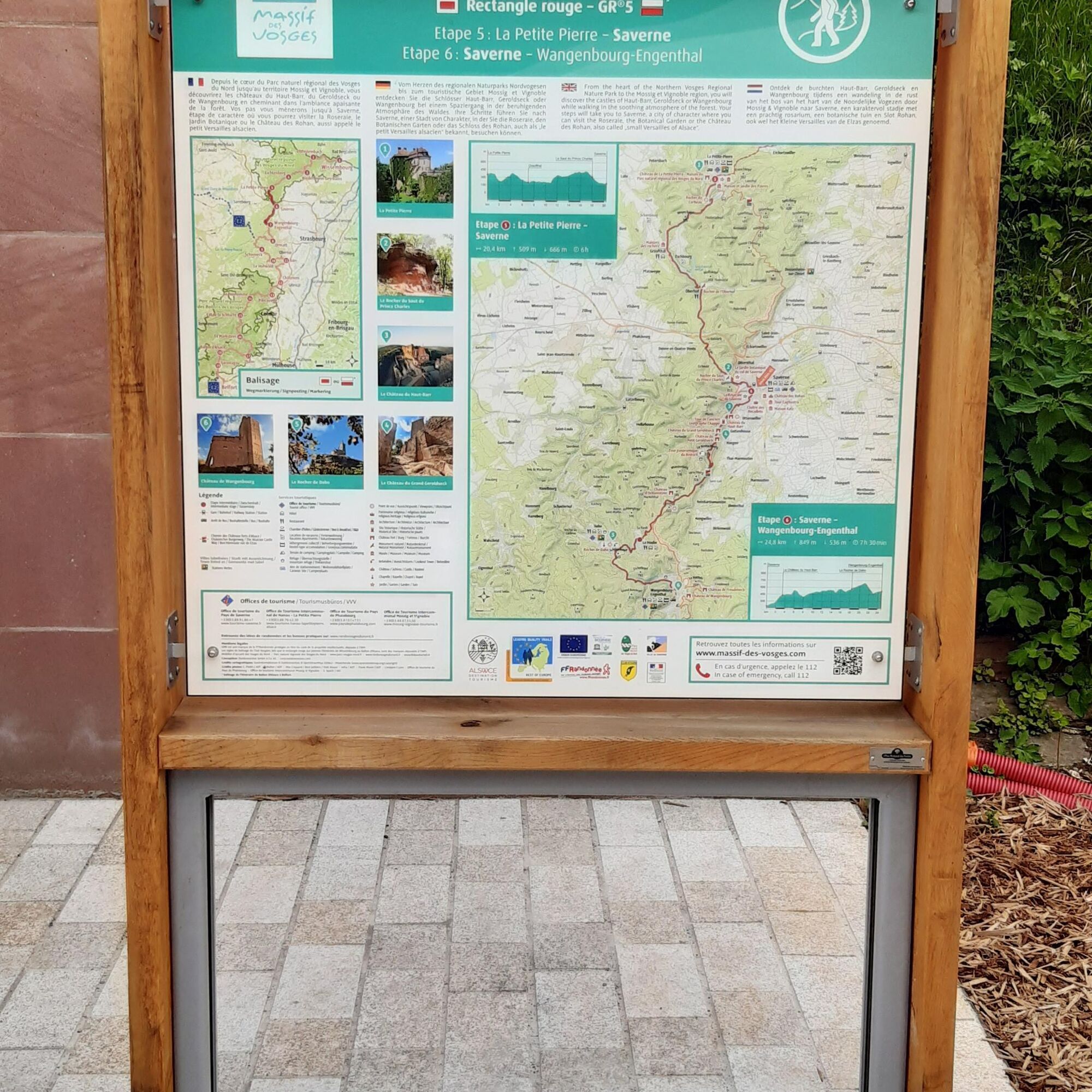
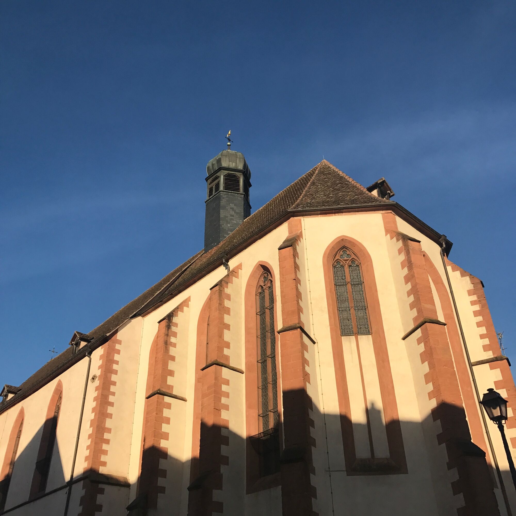
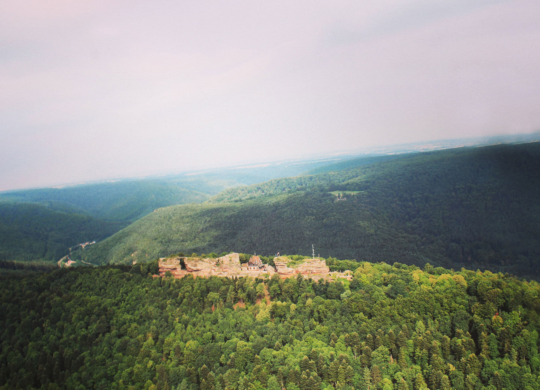
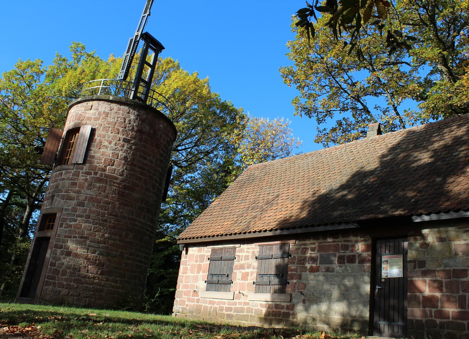
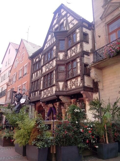

Follow the red rectangle marking of the Club Vosgien from the lock located at the Quai de l'école in Saverne towards the Château du Haut-Barr and continue to Wangenbourg-Engenthal.
Ano
Ano
Clothing suitable for the season and conditions (cold, hot, wet…)
Hiking shoes adapted to the terrain (even for children!)
Telescopic poles (useful for stability and to relieve joints)
Mobile phone and spare battery if needed
The following recommendations should be followed for good hiking practice.
It is important to be well informed about the route to be taken. Preparation and an assessment of physical condition are necessary.
Reach the Quai de l'école in Saverne 67700
By TER fluo from Strasbourg in 45 minutes
Free parking at Saverne TER station, 11 minutes on foot from Quai de l'école (route access).
Tourism Office of the Pays de Saverne
37 Grand'rue
67700 Saverne
Tel: 03 88 91 80 47
Intercommunal Tourism Office Mossig and Vineyard
32a rue du Général de Gaulle
67710 Wangenbourg Engenthal
Tel: 03 88 87 33 50 - Fax: 03 88 87 32 23
info.wangenbourg@mossig-vignoble-tourisme.fr
www.mossig-vignoble-tourisme.fr
Red rectangle marking of the Club Vosgien (Long Distance Hiking route GR® 53 by the French Hiking Federation).
Take the time to climb to the top of the Château du Haut-Barr where you can have a view of Strasbourg Cathedral in good weather. The Brotsch panoramic tower will also allow you to appreciate the beauty of the Alsace Plain and the Northern Vosges Park.
If you wish to do this route in two stages, it is possible to stay at La Hoube or Dabo.
It is advisable to book accommodations in advance during the high season.
Oblíbené prohlídky v okolí
-
Crossing of the Vosges Massif - Stage 07 - Wangenbourg-Engenthal - Urmatt
střednídálková pěší trasa 17.6 km -
Crossing of the Vosges Massif - Stage 05 - La Petite Pierre - Saverne
střednídálková pěší trasa 21.1 km -
Saint-Vit Cave route
středníTuristika 11.6 km -
5.0
Circuit of the Baerenloch washhouse
středníTuristika 19.1 km -
Micro Aventure 3 Traversée du Massif des Vosges - Sur le sentier enchanté
středníTuristika 42.8 km -
MTB Base Route 2 La Suisse d'Alsace
středníMountainbike 29.2 km -
Mountain Bike Base Circuit 1 La Mossig
světloMountainbike 20.1 km -
Hiking Towards the Giants of Nideck - Symposium
středníTuristika 6.54 km -
Loop of Geissfels starting from Reinhardsmunster
středníTuristika 6.85 km -
Erckmann-Chatrian country trail
heavydálková pěší trasa 86.6 km

Pěší turistika a stopování


Nenechte si ujít nabídky a inspiraci pro vaši příští dovolenou
Vaše e-mailová adresa byl přidán do poštovního seznamu.





