Navigace na stránkách
Pořiďte si tuto prohlídku do mobilního telefonu
Mapa
GR 534 - Sentier Stanislas-Kléber

heavy
dálková pěší trasa
205.47 km
Naskenujte QR kód a spusťte navigaci v aplikaci bergfex.
QR Code
Pěší turistika a stopování
Stáhnout pro iOS
Stáhnout pro Android

GR 534 - Sentier Stanislas-Kléber

heavy
dálková pěší trasa
Mapa
Vzdálenost
205.5 km
Doba trvání
57:00 h
Ascent
2241 hm
Hladina moře
135 - 686 m

Úroveň obtížnosti: T2

Stažení skladby
Mapa
GR 534 - Sentier Stanislas-Kléber
heavy
dálková pěší trasa
205.47 km

Inaugurated in Nancy in 1992, the trail then connected the historic capital of Lorraine to the village of Cirey-sur-Vezouze. In 1993, Club Vosgien had the idea to extend this trail to Strasbourg to "establish...

Popis

Inaugurated in Nancy in 1992, the trail then connected the historic capital of Lorraine to the village of Cirey-sur-Vezouze. In 1993, Club Vosgien had the idea to extend this trail to Strasbourg to "establish a direct pedestrian link between the capitals of Lorraine and Alsace, from Place Stanislas to Place Kléber." But also the idea to weave a pedestrian network across the Vosges and their margins thanks to a transverse "west-east" route crossing the departments of Meurthe-et-Moselle, Moselle and Bas-Rhin.

Trasa
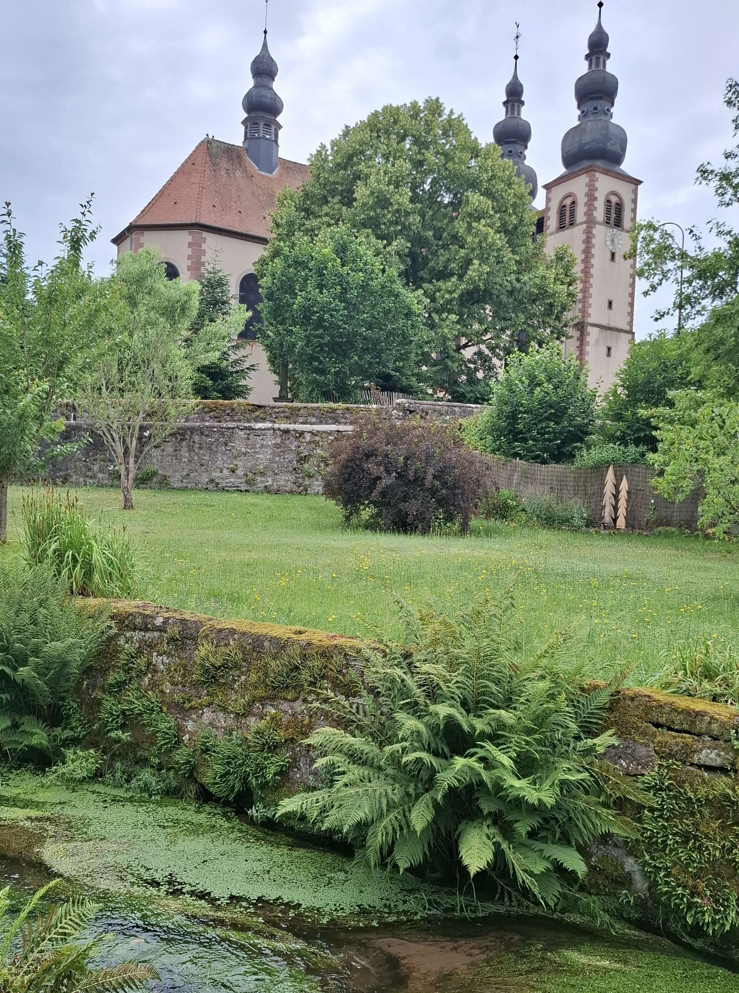
Église de la Nativité-de-la-Vierge
(234 m)
Místo konání bohoslužeb
19.1 km
Église Saint-Nicolas
(244 m)
Místo konání bohoslužeb
65.7 km
Temple réformé
(303 m)
Místo konání bohoslužeb
123.2 km
Abri de la Schleif
(691 m)
Úkryt
141.0 km
Chapelle Saint-Ulrich
(169 m)
Místo konání bohoslužeb
172.1 km
Chapelle Saint-Armuth
(167 m)
Místo konání bohoslužeb
173.5 km
Église orthodoxe de tous les saints de Strasbourg
(137 m)
Místo konání bohoslužeb
200.7 km
Trasa
Mapa
GR 534 - Sentier Stanislas-Kléber
heavy
dálková pěší trasa
205.47 km
Nancy
(201 m)
Město
0.0 km
Armée du Salut
(196 m)
Místo konání bohoslužeb
1.3 km
Jarville-la-Malgrange
(205 m)
Město
3.0 km
Vandœuvre-lès-Nancy
(256 m)
Město
3.1 km
Californie
(202 m)
Sousedství
4.0 km
Laneuveville-devant-Nancy
(213 m)
Vesnice
6.5 km
Église Saint-Remy
(203 m)
Místo konání bohoslužeb
7.6 km
Bosserville
(206 m)
Vypořádání
7.7 km
Saulxures-lès-Nancy
(223 m)
Vesnice
11.0 km
Église Saint-Martin
(228 m)
Místo konání bohoslužeb
11.3 km
Église de la Nativité-de-la-Vierge
(234 m)
Místo konání bohoslužeb
19.1 km
Lenoncourt
(236 m)
Vesnice
19.3 km
Varangéville
(205 m)
Vesnice
24.9 km
L'Étoile d'Argent
(210 m)
Restaurace
26.0 km
Dombasle-sur-Meurthe
(217 m)
Vesnice
26.6 km
Crévic
(221 m)
Vesnice
34.0 km
Grandvezin
(217 m)
Vypořádání
34.7 km
Deuxville
(244 m)
Vesnice
41.0 km
Lunéville
(233 m)
Město
46.9 km
Jolivet
(234 m)
Vesnice
48.9 km
Église de l'Assomption
(243 m)
Místo konání bohoslužeb
49.4 km
Haut de Chèvre
(239 m)
Koridor/terén
49.4 km
Vers Crochet
(235 m)
Koridor/terén
49.4 km
Notre Dame
(231 m)
Koridor/terén
49.7 km
Le Mouton
(227 m)
Koridor/terén
49.9 km
Petite Carmelle
(226 m)
Koridor/terén
50.1 km
Grande Clouvière
(226 m)
Koridor/terén
51.0 km
Chanteheux
(233 m)
Vesnice
52.0 km
Église Saint-Barthélemy
(229 m)
Místo konání bohoslužeb
52.3 km
Croismare
(236 m)
Vesnice
55.5 km
Marainviller
(238 m)
Vesnice
59.6 km
Église Saint-Nicolas
(244 m)
Místo konání bohoslužeb
65.7 km
Laneuveville-aux-Bois
(252 m)
Vesnice
65.8 km
Le Robin
(247 m)
Koridor/terén
66.0 km
Leintrey
(267 m)
Vesnice
77.5 km
Église Saint-Michel
(263 m)
Místo konání bohoslužeb
77.6 km
Entre les Deux Bois
(289 m)
Koridor/terén
80.4 km
Amenoncourt
(277 m)
Vesnice
84.4 km
Église Saint-Clément
(279 m)
Místo konání bohoslužeb
84.4 km
Sentier d'Igney
(306 m)
Koridor/terén
84.9 km
Blâmont
(277 m)
Vesnice
91.5 km
Frémonville
(286 m)
Vesnice
97.1 km
Église Saints Bernard et Denys
(291 m)
Místo konání bohoslužeb
102.1 km
Cirey-sur-Vezouze
(303 m)
Vesnice
102.3 km
Maison Forestière de Turquestein
(395 m)
Koridor/terén
113.9 km
La Stée
(360 m)
Koridor/terén
116.4 km
Saint-Quirin
(307 m)
Vesnice
117.5 km
Chez Paquita
(312 m)
Restaurace
117.5 km
Roche des Boeufs
(309 m)
Koridor/terén
121.6 km
Le Moulin
(306 m)
Koridor/terén
121.9 km
Relais du Moulin
(286 m)
Restaurace
122.3 km
Abreschviller
(306 m)
Vesnice
122.7 km
Temple réformé
(303 m)
Místo konání bohoslužeb
123.2 km
Munichshof
(440 m)
Vypořádání
126.8 km
Grotte Saint-Léon
(405 m)
Vchod do jeskyně
127.5 km
Kreuzmatt
(343 m)
Koridor/terén
128.7 km
Bambuesch
(350 m)
Koridor/terén
129.2 km
Enteneck
(296 m)
Koridor/terén
133.9 km
Muehlgraben
(292 m)
Koridor/terén
134.2 km
Kleinmuehle
(293 m)
Koridor/terén
134.8 km
Altmuehle
(305 m)
Koridor/terén
135.0 km
Glagen
(350 m)
Koridor/terén
135.5 km
Brueckel
(362 m)
Koridor/terén
135.7 km
Ententhal
(342 m)
Vypořádání
135.9 km
Krugsfeld
(381 m)
Koridor/terén
136.1 km
Schuftengarten
(446 m)
Koridor/terén
136.9 km
Dabo
(470 m)
Vesnice
137.2 km
Église Saint-Blaise
(467 m)
Místo konání bohoslužeb
137.2 km
Zimmerfeld
(563 m)
Koridor/terén
138.4 km
Abri de la Schleif
(691 m)
Úkryt
141.0 km
fontaine helwig
(493 m)
Zdroj:
143.5 km
Église Saint-Barthélémy
(463 m)
Místo konání bohoslužeb
145.7 km
Auberge du Château
(460 m)
Restaurace
145.8 km
Wangenbourg-Engenthal
(461 m)
Vesnice
145.8 km
Freudeneck
(311 m)
Vypořádání
149.4 km
Cascade Mencke
(272 m)
Vodopád
151.3 km
Kuhmatte
(245 m)
Koridor/terén
153.0 km
Tannenmuhle
(227 m)
Koridor/terén
154.4 km
Allmend
(222 m)
Koridor/terén
154.9 km
In der Arr
(221 m)
Koridor/terén
155.0 km
Allmendmatte
(221 m)
Koridor/terén
155.2 km
Romanswiller
(217 m)
Vesnice
155.5 km
Église protestante
(231 m)
Místo konání bohoslužeb
155.9 km
Auf Wasselnheimer Weg
(241 m)
Koridor/terén
156.8 km
Église Saint-Laurent
(216 m)
Místo konání bohoslužeb
159.2 km
Wasselonne
(217 m)
Vesnice
159.2 km
Wangen
(219 m)
Vesnice
163.2 km
Chapelle Sainte-Croix
(215 m)
Místo konání bohoslužeb
163.3 km
Traenheim
(197 m)
Vesnice
166.8 km
Zum Loejelgucker
(200 m)
Restaurace
166.9 km
Steg
(209 m)
Koridor/terén
167.0 km
Schmiede
(211 m)
Koridor/terén
167.0 km
Molsheimer Gasse
(231 m)
Koridor/terén
167.3 km
Huetten
(222 m)
Koridor/terén
167.7 km
Irmstett
(174 m)
Vypořádání
168.1 km
Chapelle Dirre Herrgott
(174 m)
Místo konání bohoslužeb
168.8 km
Untere Hund Gegben die Mossig
(171 m)
Koridor/terén
170.1 km
Soultz-les-Bains
(185 m)
Vesnice
170.3 km
Bachtor
(173 m)
Koridor/terén
170.5 km
Beim Bad
(171 m)
Koridor/terén
171.1 km
Église Saint-Materne
(169 m)
Místo konání bohoslužeb
172.1 km
Baumgarten
(170 m)
Koridor/terén
172.1 km
Chapelle Saint-Ulrich
(169 m)
Místo konání bohoslužeb
172.1 km
Avolsheim
(168 m)
Vesnice
172.2 km
Spehnacker
(169 m)
Koridor/terén
172.6 km
Chapelle Saint-Armuth
(167 m)
Místo konání bohoslužeb
173.5 km
Wolxheim
(178 m)
Vesnice
173.9 km
Niederfeld
(165 m)
Koridor/terén
174.2 km
Kling
(163 m)
Koridor/terén
175.2 km
Dachstein
(165 m)
Vesnice
175.3 km
Restaurant Au Canal
(163 m)
Restaurace
175.4 km
Ergersheim
(168 m)
Vesnice
175.6 km
Breuschstueck
(162 m)
Koridor/terén
175.7 km
Schiessrain
(162 m)
Koridor/terén
175.7 km
Ernolsheim-Bruche
(171 m)
Vesnice
178.2 km
Unter den Willgen
(158 m)
Koridor/terén
178.5 km
Egerten
(157 m)
Koridor/terén
178.8 km
Canal
(157 m)
Koridor/terén
179.3 km
Breudel
(157 m)
Koridor/terén
179.6 km
Kolbsheim
(189 m)
Vesnice
180.3 km
Apotherkermatt
(156 m)
Koridor/terén
180.6 km
Bei der Schleuse
(155 m)
Koridor/terén
180.7 km
Auf den Kanal
(156 m)
Koridor/terén
181.1 km
Klein Brech
(152 m)
Koridor/terén
182.1 km
Hangenbieten
(151 m)
Vesnice
183.4 km
Achenheim
(149 m)
Vesnice
185.4 km
Kaemmerle
(145 m)
Koridor/terén
187.5 km
Tiergarten
(144 m)
Koridor/terén
187.8 km
Auf den Kanal
(143 m)
Koridor/terén
188.5 km
Lingolsheim
(147 m)
Město
189.2 km
Beim Schliefsen
(142 m)
Koridor/terén
189.4 km
Eckbolsheim
(145 m)
Vesnice
190.2 km
Chez Gaby
(142 m)
Restaurace
190.2 km
Nachtweid
(142 m)
Koridor/terén
190.4 km
Montagne-Verte
(139 m)
Sousedství
192.8 km
Bruehling
(139 m)
Koridor/terén
192.9 km
Église Catholique Saint-Jean-Baptiste
(141 m)
Místo konání bohoslužeb
195.8 km
Strasbourg
(142 m)
Město
196.7 km
St. Paul's Church
(141 m)
Místo konání bohoslužeb
197.7 km
Schiltigheim
(141 m)
Město
198.6 km
Église orthodoxe de tous les saints de Strasbourg
(137 m)
Místo konání bohoslužeb
200.7 km
Maï Thai
(138 m)
Restaurace
203.2 km
Kehl
(140 m)
Město
205.4 km
Informace o prohlídce

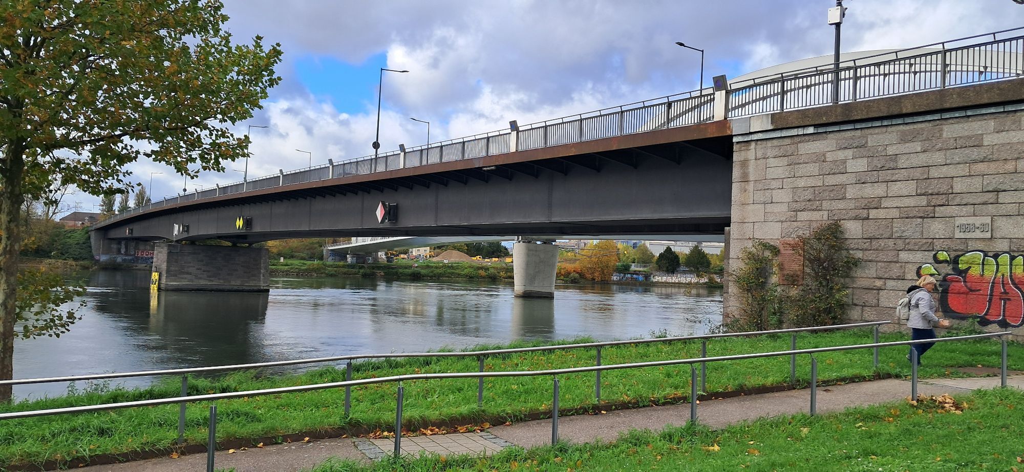
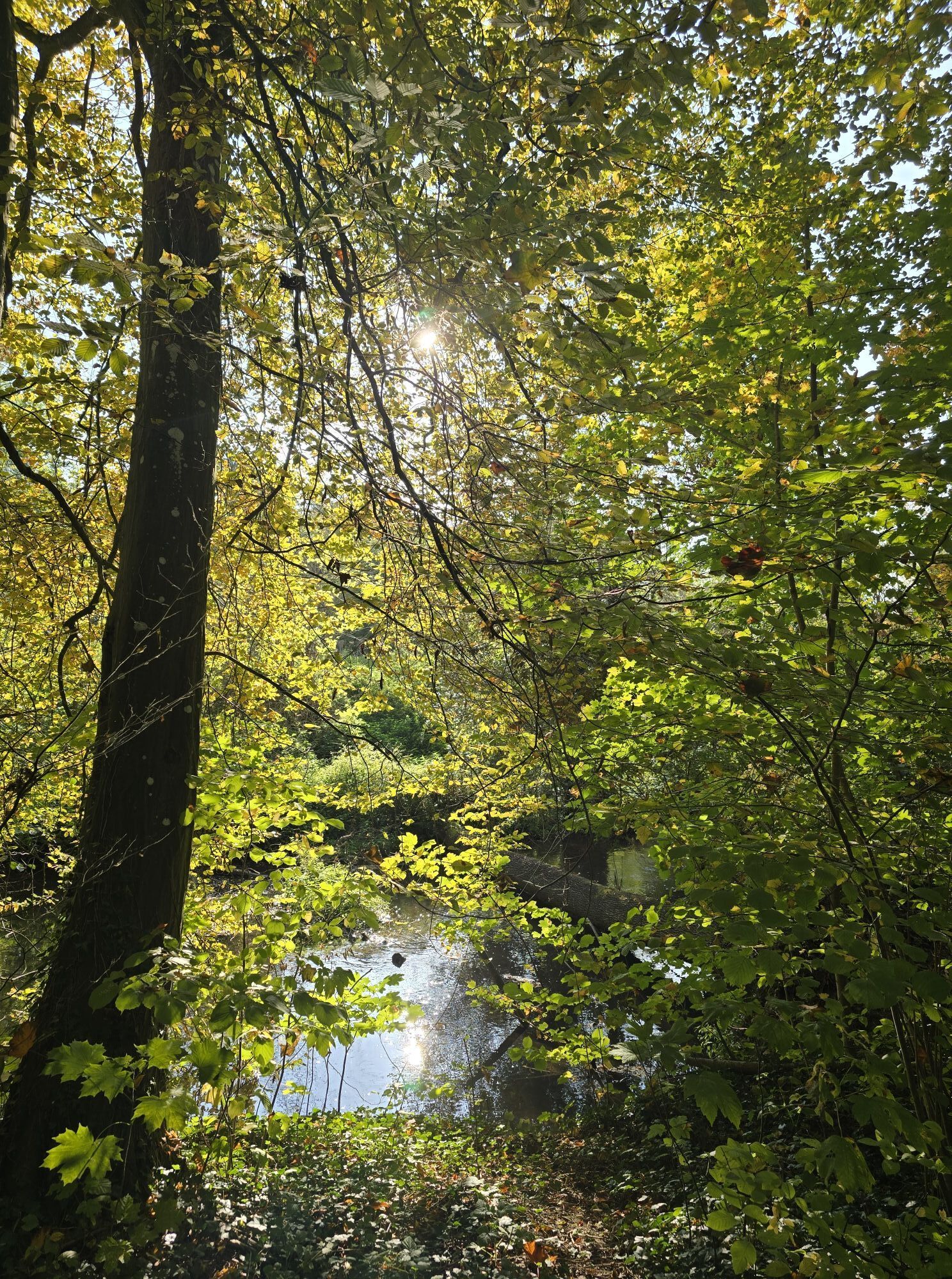
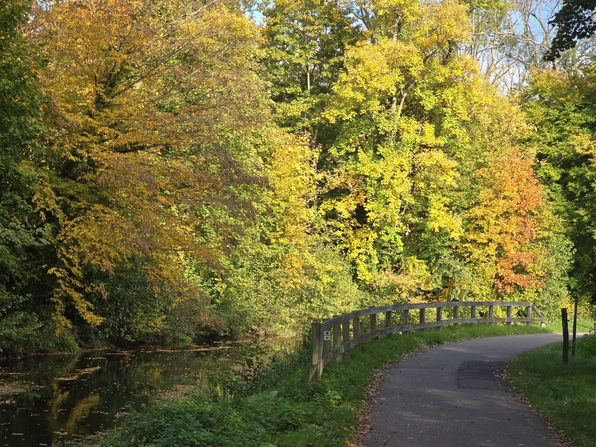
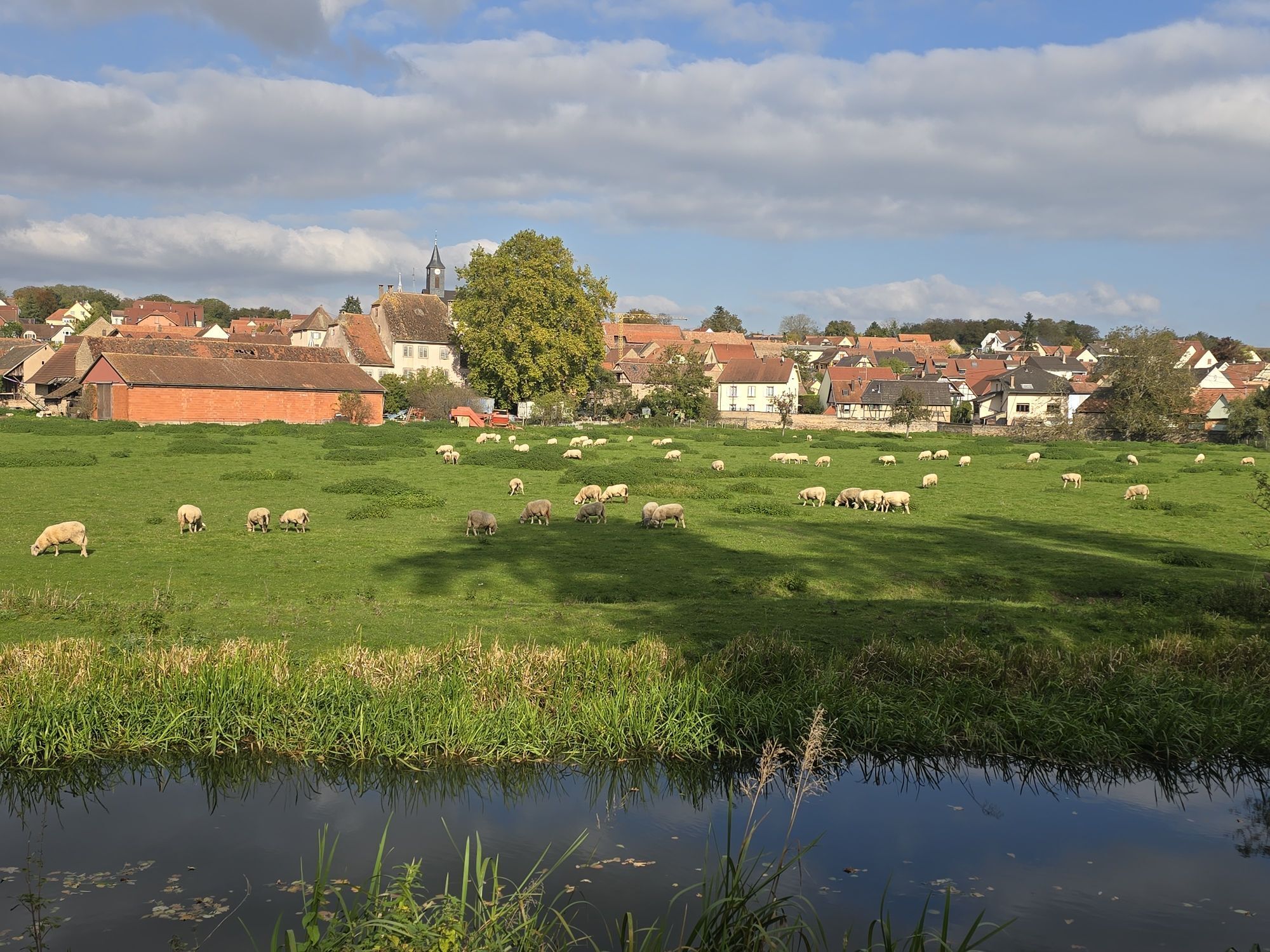
Long-distance hiking trail that connects Place Stanislas in Nancy to Place Kléber in Strasbourg over 205 km. The GR 534, also known as Sentier Stanislas-Kléber, marked by a red diamond, is a route initiated by the Club Vosgien and the FFRP.

Technologie
2 / 6
Stav
6 / 6
Krajina
4 / 6
Zkušenosti
4 / 6
Nejlepší roční období
Led
Úno
Bře
Dub
Kvě
Čen
Čec
Srp
Zář
Říj
Lis
Pro
Sdílet prohlídku
Mapa
GR 534 - Sentier Stanislas-Kléber
heavy
dálková pěší trasa
205.47 km
Chyba
Došlo k chybě. Zkuste to prosím znovu.
Informace o trase
Trasa

Strasbourg Place Kleber to Nancy Place Stanislas

Prohlídka vrcholu

Ano

Vybavení

In case of problem, call 112 (European emergency number)

5 key points to transmit your alert:   

Where? municipality, place, route, altitude

Who? identity, phone number

What? type of accident, number of victims, severity, fall dynamics

When? time of the accident

Weather? wind, visibility

Recommended equipment

Clothing adapted to the season and conditions (cold, heat, humidity…)

Hiking shoes adapted to the terrain (even for children!) Telescopic poles (useful for stability and relieving joints)

Mobile phone and spare battery if needed

Bezpečnostní pokyny

Before leaving:     

Check general and local weather ensuring no precipitation

Gather information on approach walk, elevation of the route, duration, possible escape (IGN map, GPS, guidebook, etc.)

Assess possible risks by consulting mountain professionals, refuge, lodgings

Inform a close person of your goal and contact them in case of change: departure and return times, number of participants with phone number of each, vehicle(s), parking

Avoid leaving alone, use equipment suitable for the activity, adjusted and in good condition, headlamp, complete first aid kit, survival blanket, etc.

Další informace a tipy
Úroveň obtížnosti

T2

Další informace

IGN / Club Vosgien hiking maps

www.club-vosgien.eu

Transport

www.fluo.eu

Tipy

www.club-vosgien.eu

Pěší turistika a stopování

Pěší turistika a stopování

ke stažení pro iOSstáhnout pro Android
Pěší turistika a stopování
Více než 550.000 návrhů výletů, podrobné mapy a intuitivní plánovač tras dělají z aplikace nezbytnou výbavu pro všechny milovníky přírody.
bergfex