






Zatrnik - Hotunjski vrh/viewpoint
Hotunjski vrh is a 1107-metre-high viewpoint located above the small village called Zatrnik and the ski resort of the same name, which is no longer in operation. At the top we have a beautiful view towards...
Hotunjski vrh is a 1107-metre-high viewpoint located above the small village called Zatrnik and the ski resort of the same name, which is no longer in operation. At the top we have a beautiful view towards Triglav, the mountains above Pokljuka, but above all the most beautiful view is towards Bled and Lake Bled.
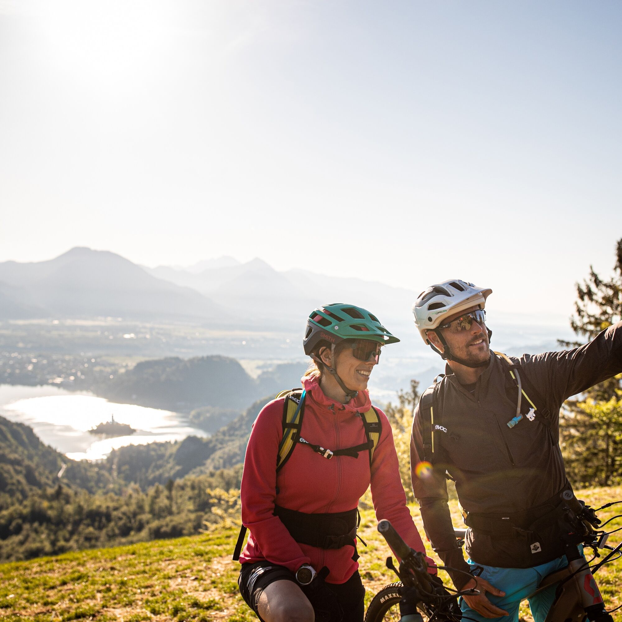
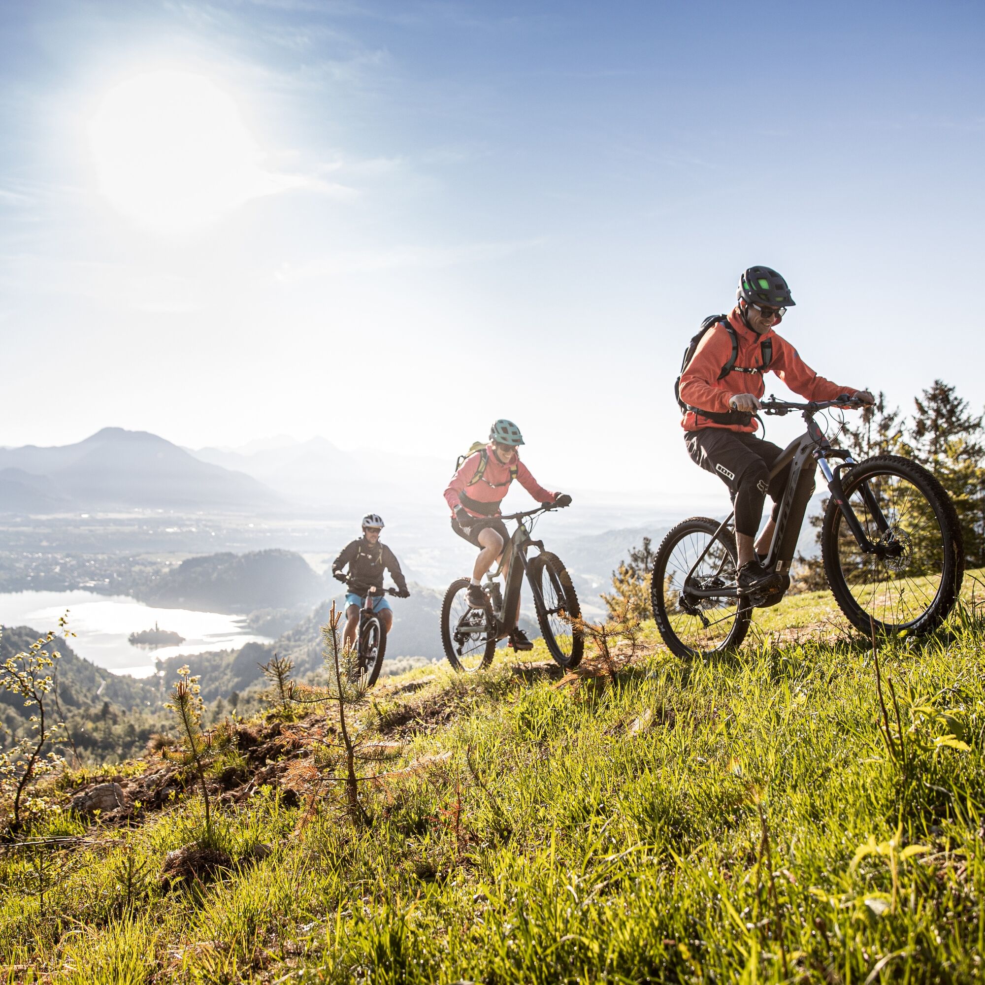

The route starts at the car park, which is located just off the road at Zatrniku. From there, head south and continue along the ski slope. The ski slope will gradually lead you along a steep, steady path all the way to the top. After a good 35-minute walk you will reach the top where there is a viewpoint with a bench.
There is a small car park on Zatrnik, just besides the main road.
Oblíbené prohlídky v okolí
- 4.6
Heart trail around Bled lake
středníTematická stezka 5.93 km - 4.3
From Bärental to the Kosiak (Klagenfurter Hut)
středníTuristika 9.67 km - 4.7
Viševnik 2050m
světloHorská turistika 6.97 km - 4.5
Vintgar Gorge
středníTuristika 7.69 km - 4.0
Hochstuhl (2237m) über Klettersteig (B/C) und Klagenfurter Hütte
heavyVia ferrata 10.3 km - 4.9
Triglav
heavyVysokohorská turistika 12.1 km - 3.8
Klagenfurt hut
středníTuristika 6.86 km - 3.7
Über den Bärensattel auf den Hochstuhl
heavyTuristika 17.2 km - 4.6
Rudno polje-Viševnik
středníZimní turistika 7.15 km - 3.7
Hiking route Bodental/Klagenfurter Hut
středníTuristika 11.9 km
Pěší turistika a stopování


Nenechte si ujít nabídky a inspiraci pro vaši příští dovolenou
Vaše e-mailová adresa byl přidán do poštovního seznamu.





