






Mount Palevierte
Úroveň obtížnosti: T2
When you reach the meadows of Prà di Lunge, leave the road coming from Illegio to take the forest track (CAI table 412) on the right, which continues uphill in a southeastern direction; follow it completely,...
From here it is possible to see the few remains of the casera of Cùel di Fûr, also now completely covered by vegetation.
Heading northeast, after a characteristic passage through a bottleneck of rocks, the long ascent of the valley between Mount Palavierte and Cuel Mauron begins.
When you reach below the first towers, you keep to the left, taking a gully between mughoes and rocks that leads shortly and without difficulty to the summit of Mount Palavierte.
You return along the ascent route. The entire route is marked with red-white CAI trail markers.

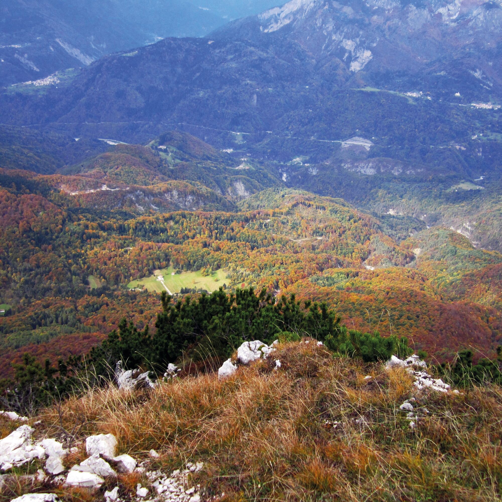
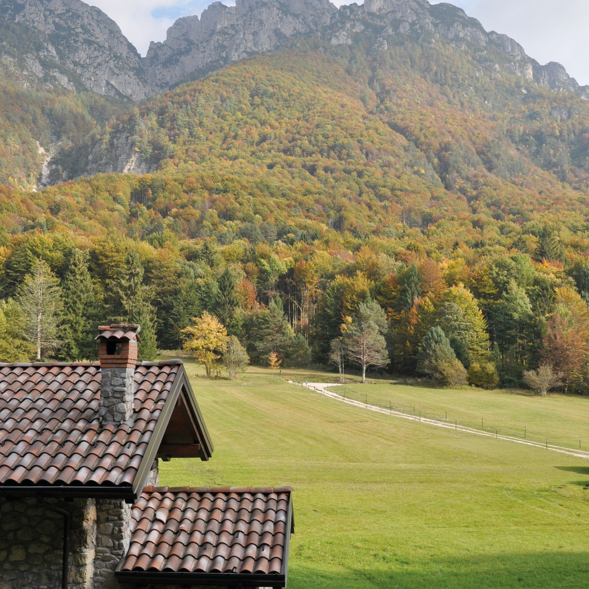
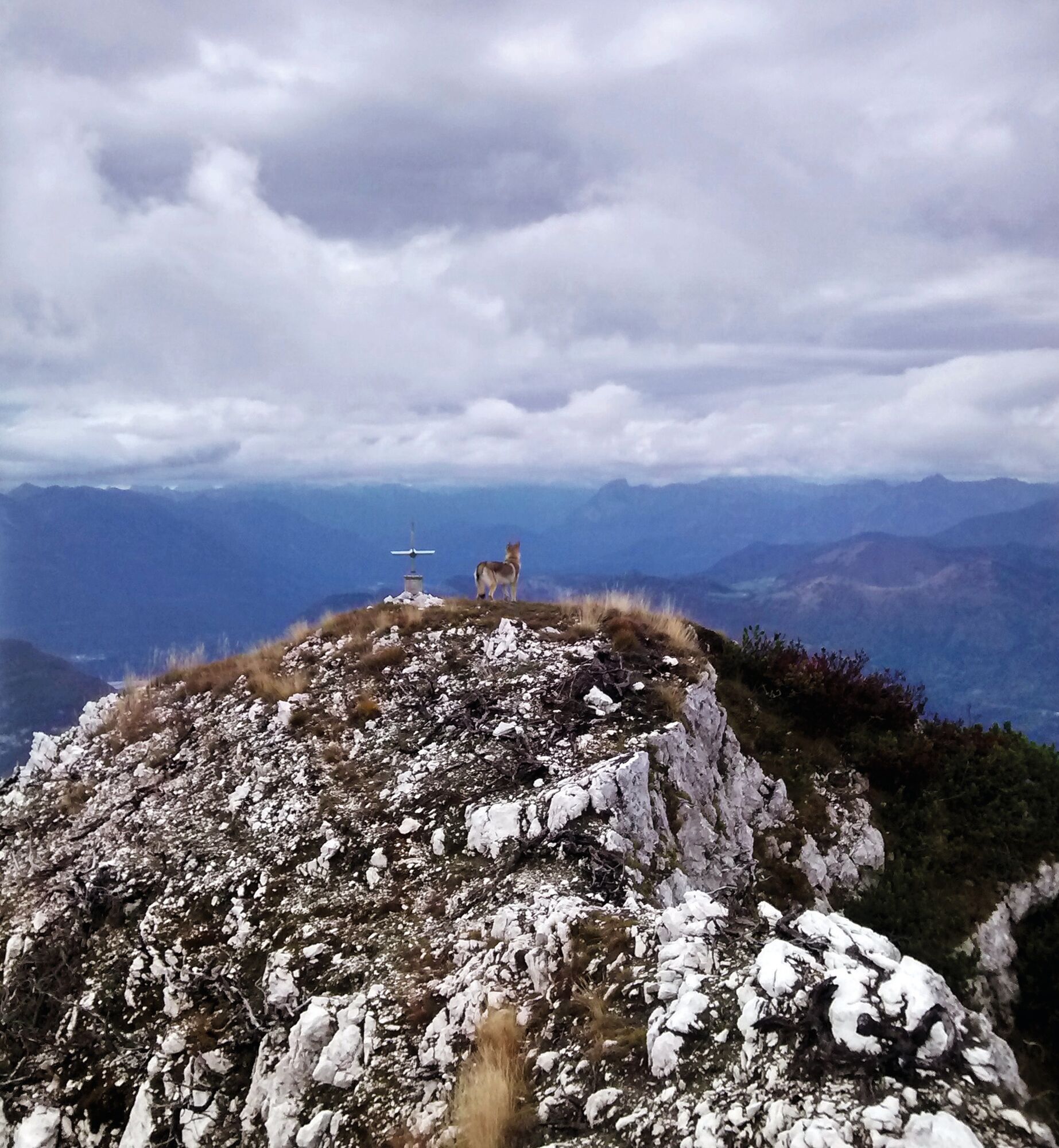

By car from Tolmezzo to the locality of Prà di Lunge, which is reached by continuing past the village of Illegio.
Normal hiking equipment.
T2
Oblíbené prohlídky v okolí
-
4.3
Monte Festa, a mountain rich in history
středníTuristika 13.5 km -
4.8
Monte Flop loop from Val Aupa
středníTuristika 13.5 km -
4.7
Loop of Val Venzonassa
středníTuristika 9.74 km -
3.5
10 thousand health steps FVG -CAVAZZO CARNICO AND BORDANO
světloTuristika 8.68 km -
Přehled vrcholu hory Tersadia
středníTuristika 13.1 km -
5.0
Moggio Udine
středníTuristika 10.8 km -
3.7
Moggio Udinese, Italien
heavyMountainbike 21.3 km -
5.0
Villa Santina: La Farina del Diavolo (C)
středníVia ferrata 6.10 km -
4.8
Jezero Dimon a prstenec pohoří Paularo, Dimon a Neddis
heavyTuristika 14.9 km -
5.0
Loop of M. Amarianute, balcony over Tolmezzo
středníTuristika 7.22 km
Pěší turistika a stopování


Nenechte si ujít nabídky a inspiraci pro vaši příští dovolenou
Vaše e-mailová adresa byl přidán do poštovního seznamu.





