


Predil Lake Loop
Úroveň obtížnosti: T2
A few kilometers from the border with Slovenia, in the heart of the Julian Alps, the Predil Lake (or Raibl Lake) is a small natural wonder waiting to be discovered. Second largest among natural lakes of...
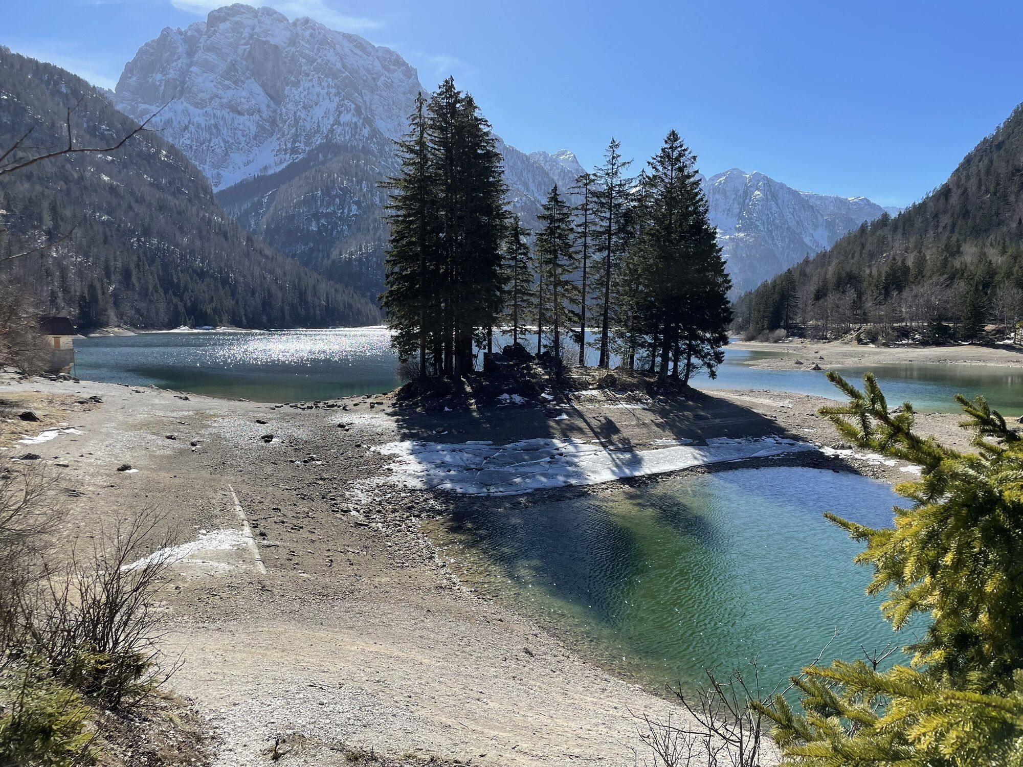
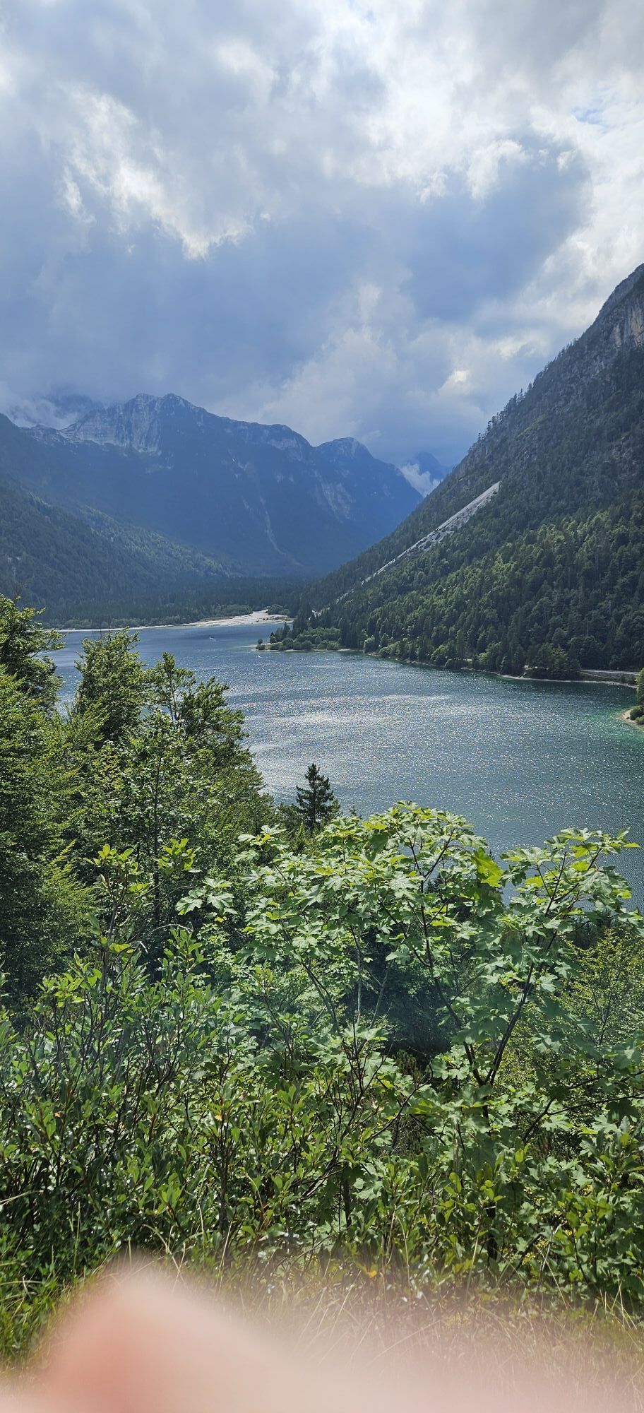
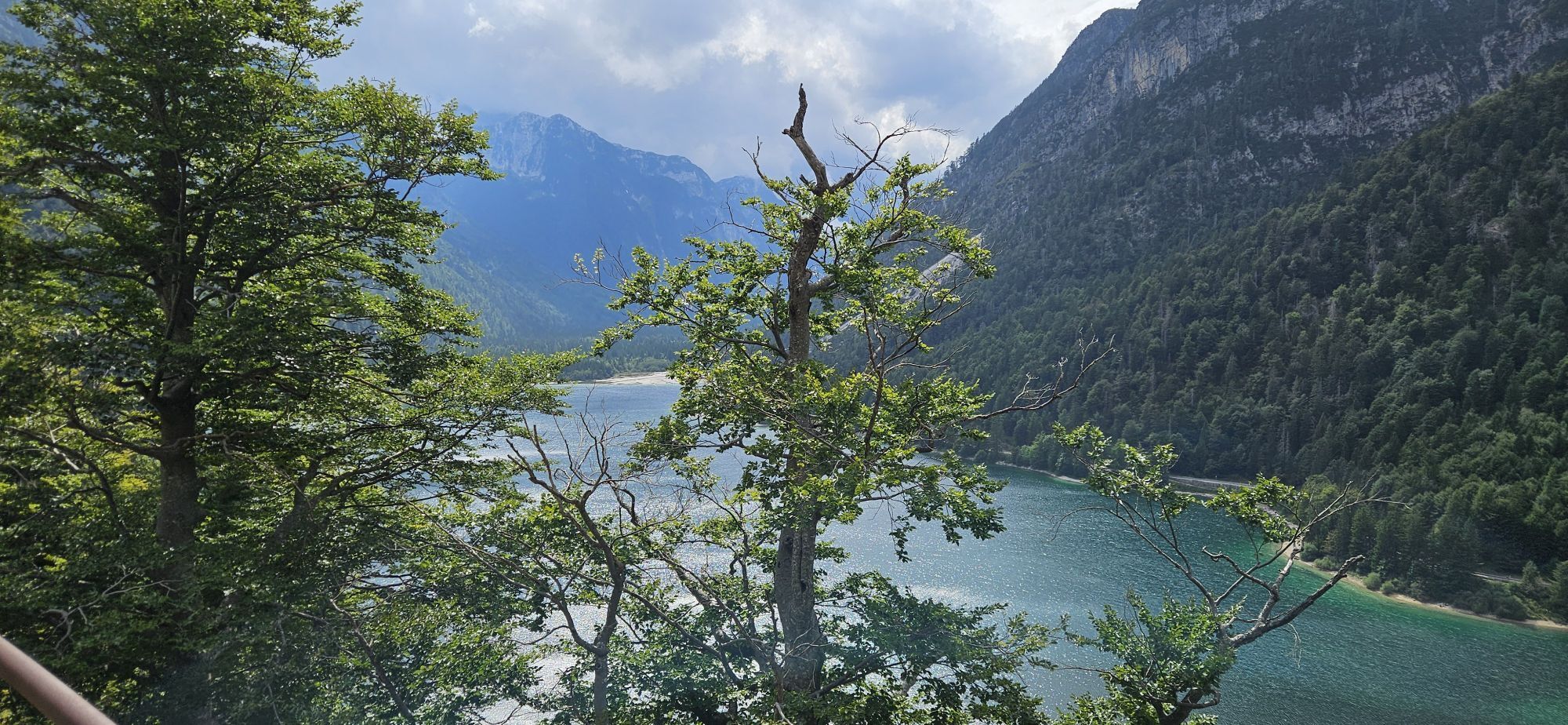
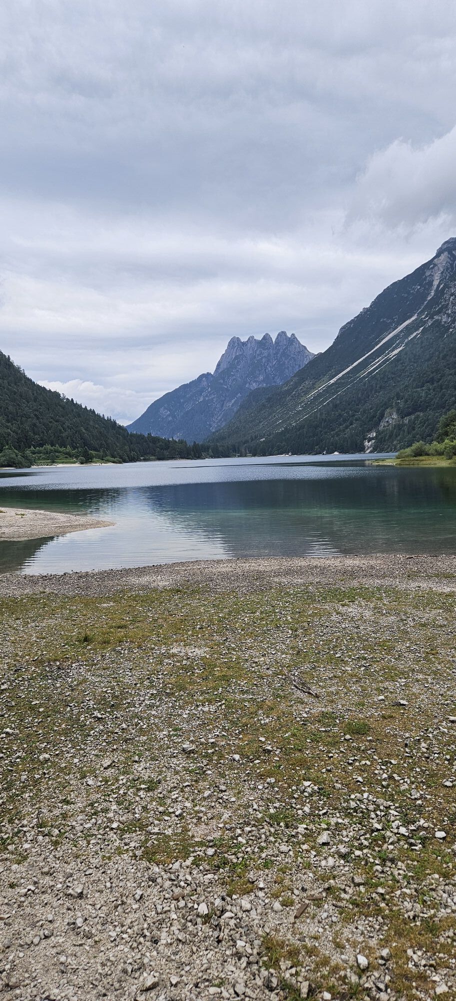
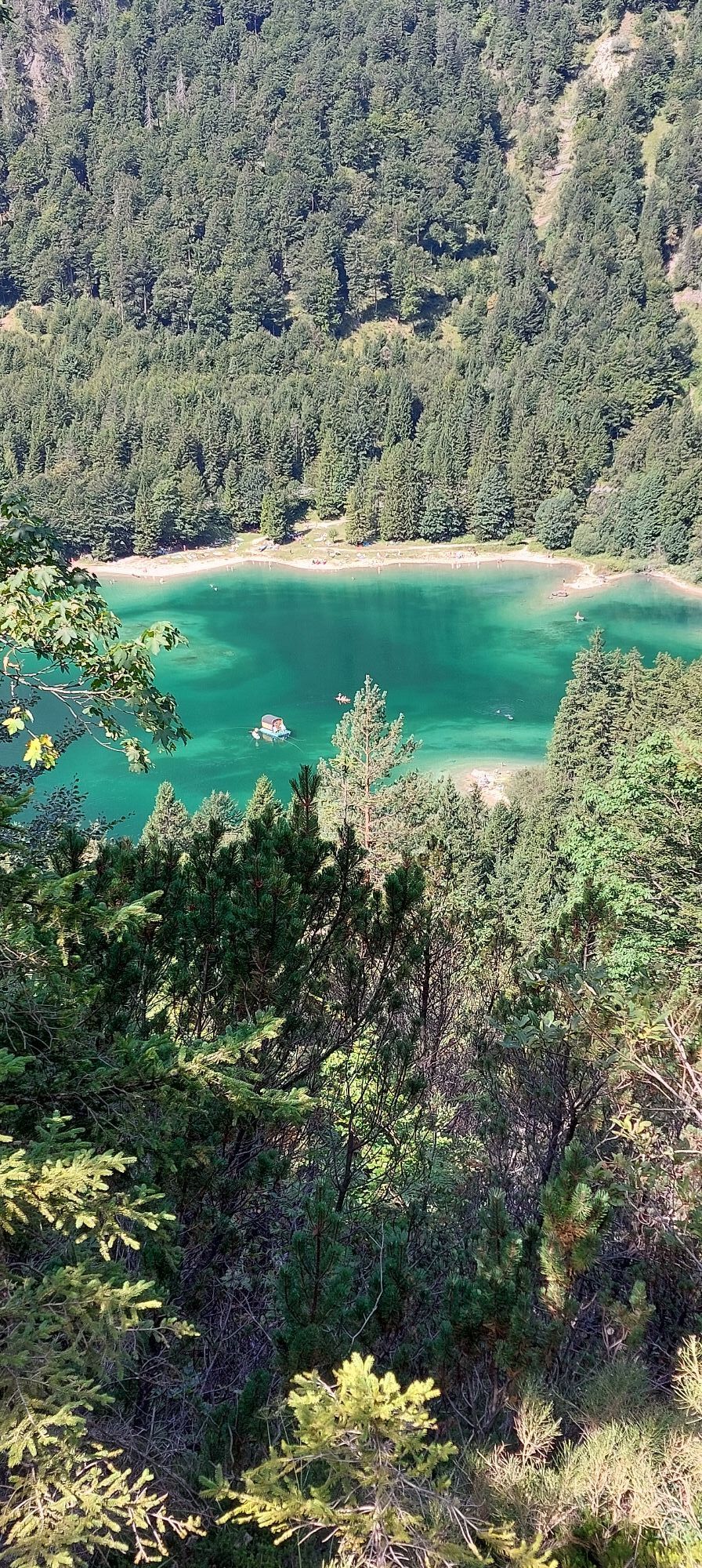
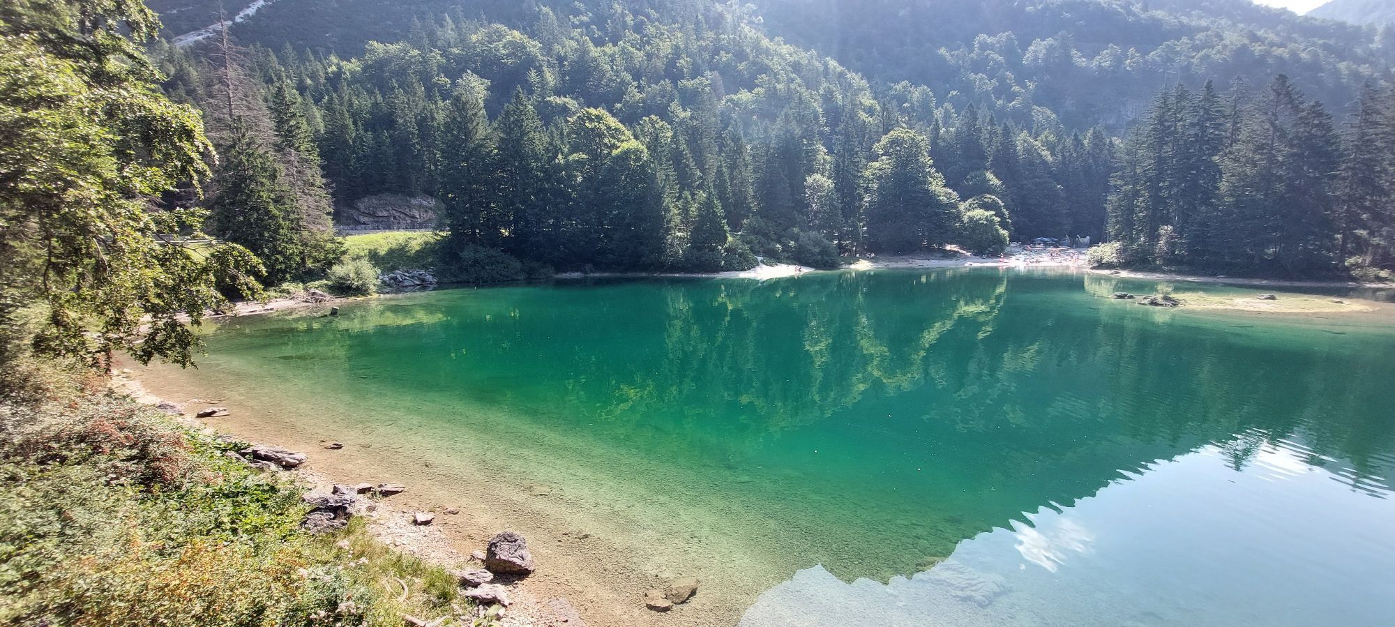
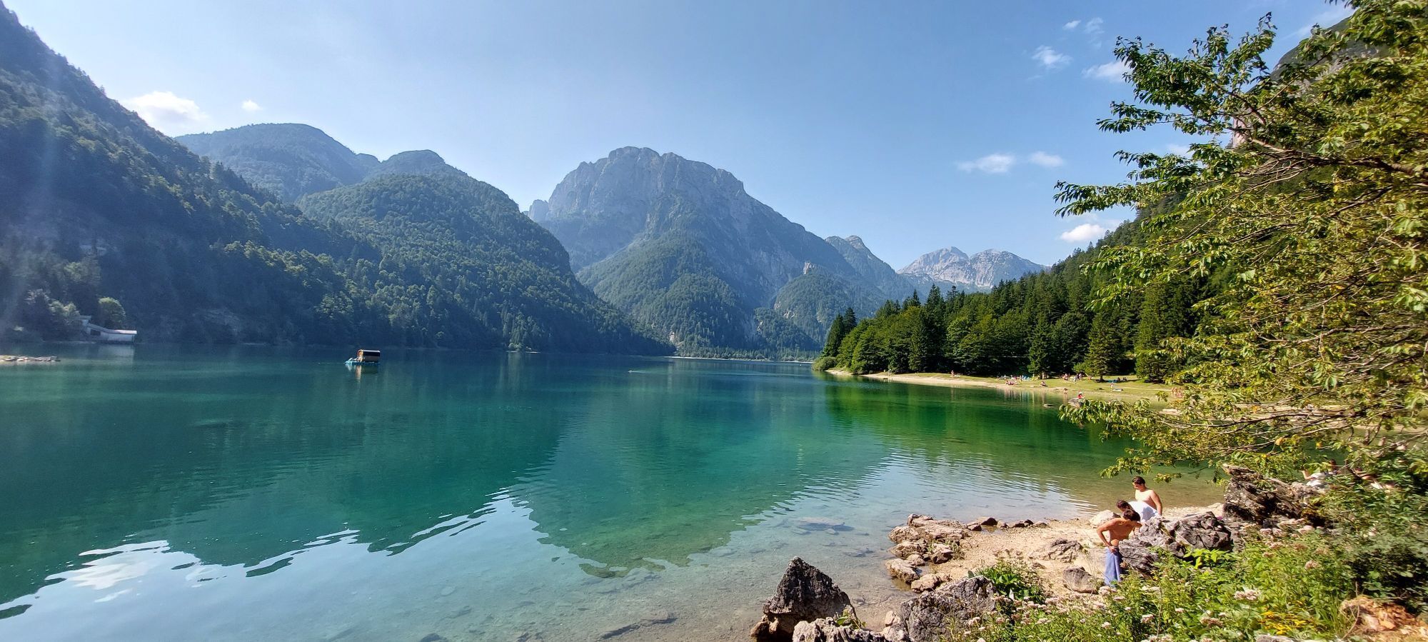
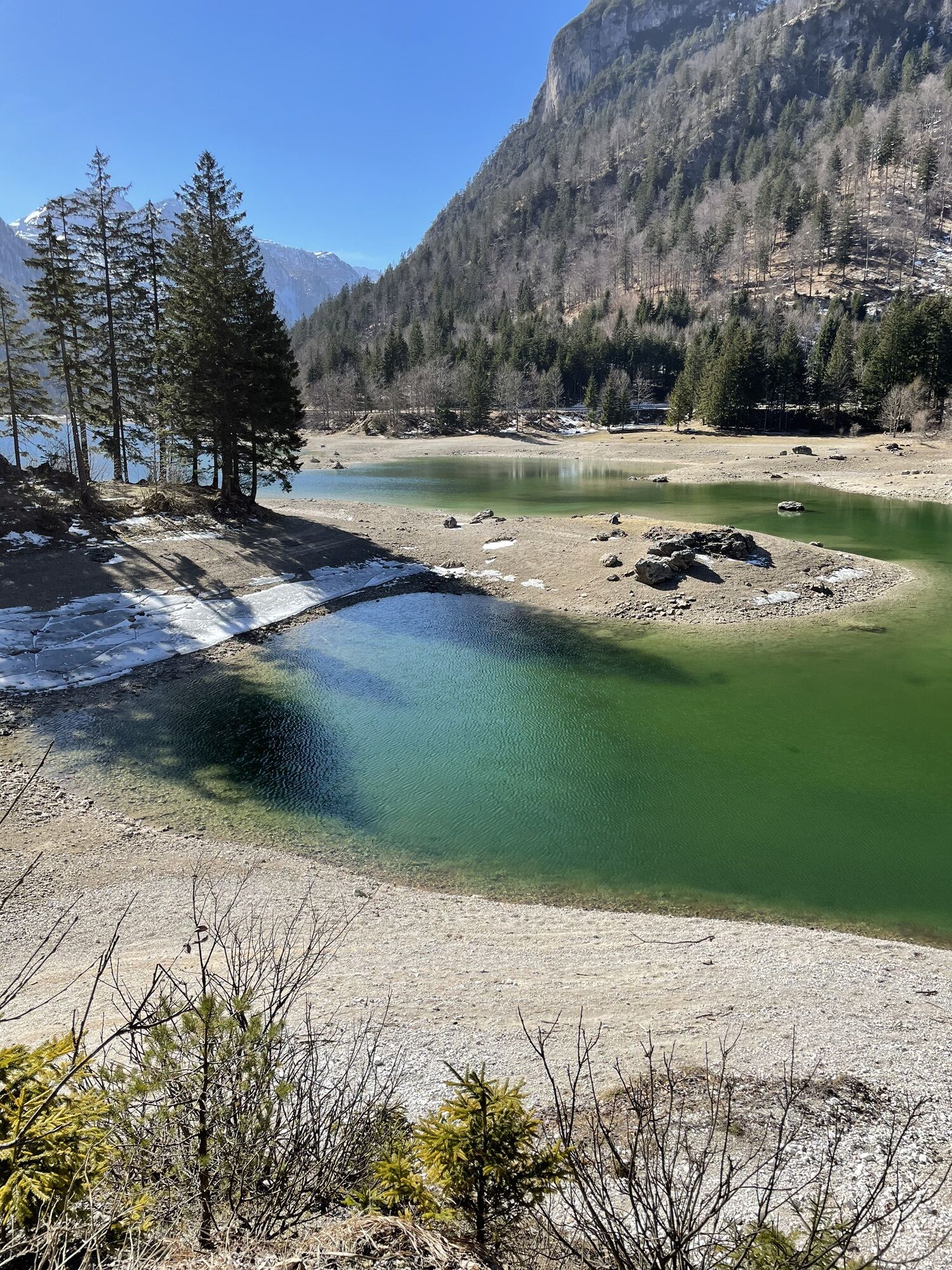
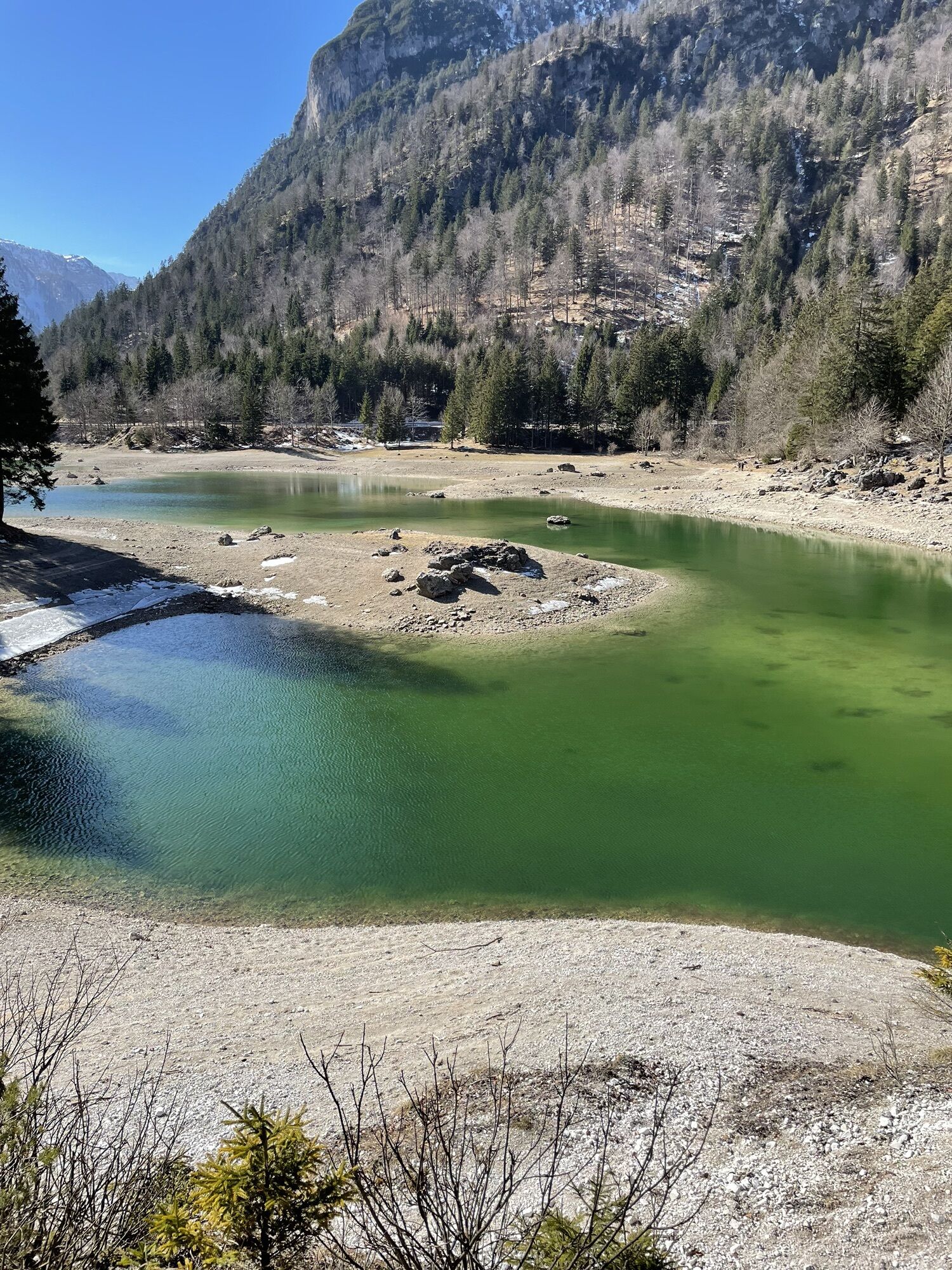
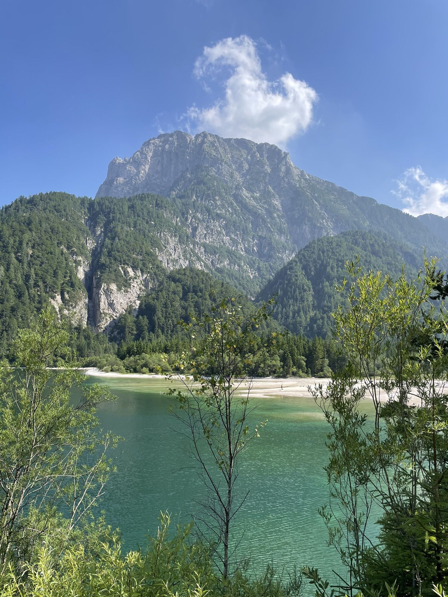
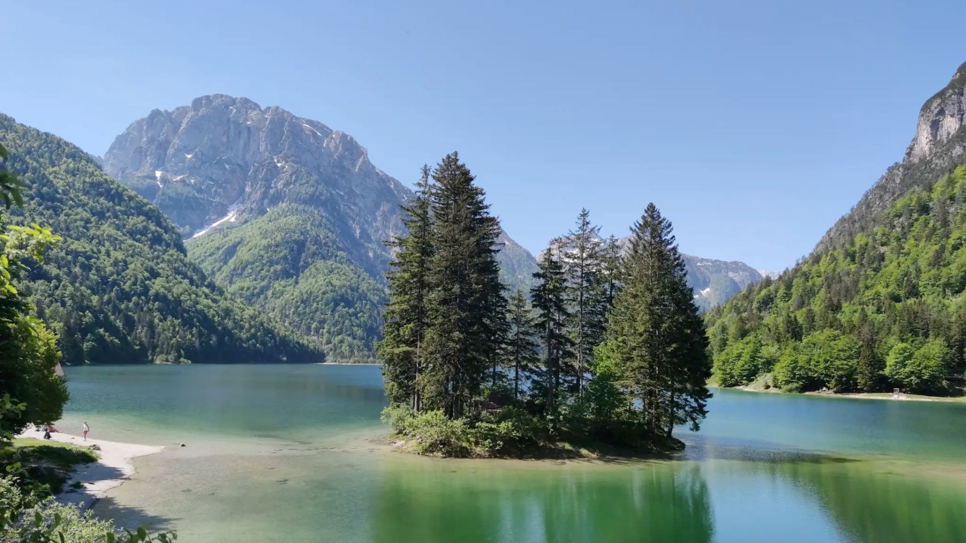
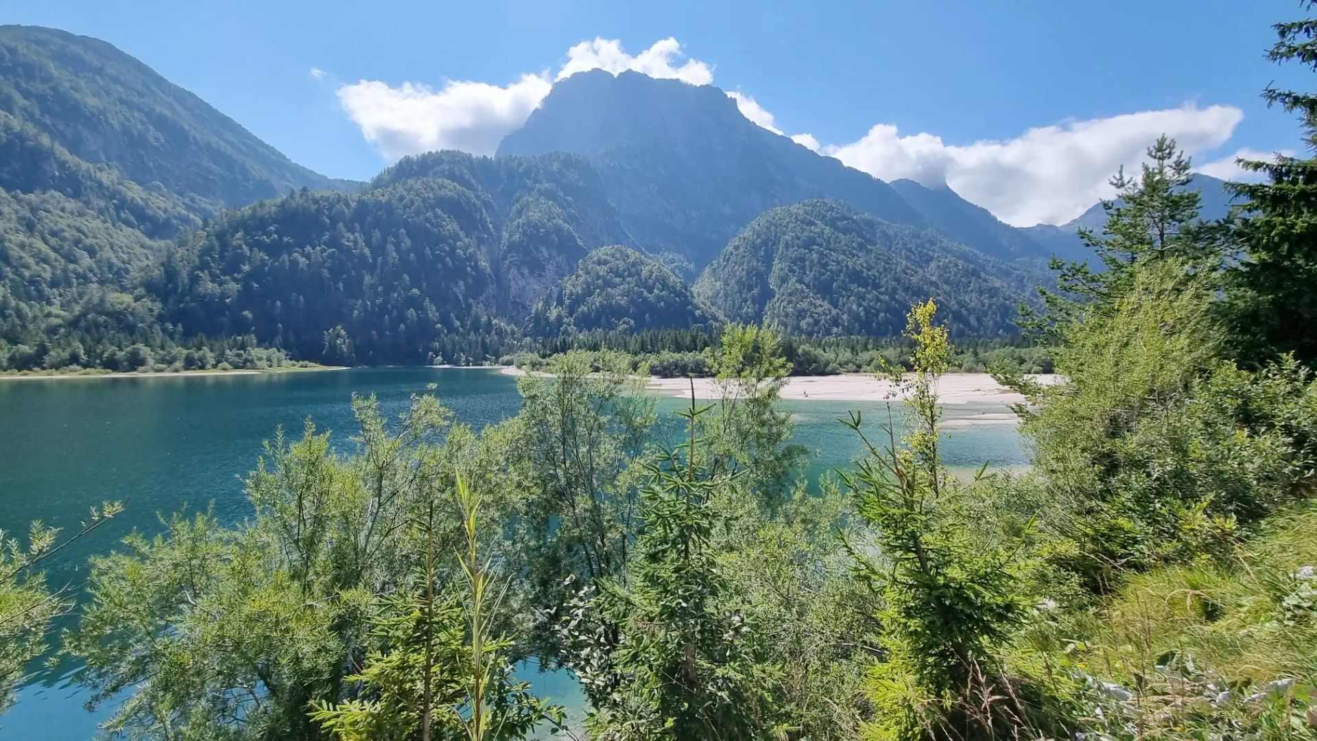
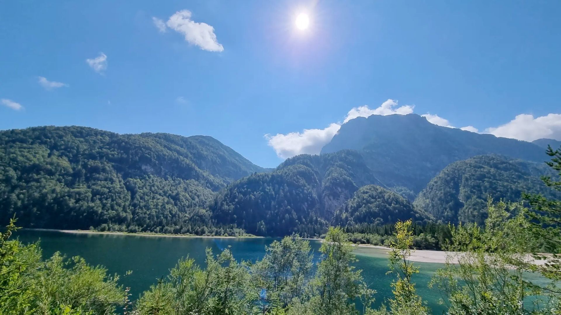
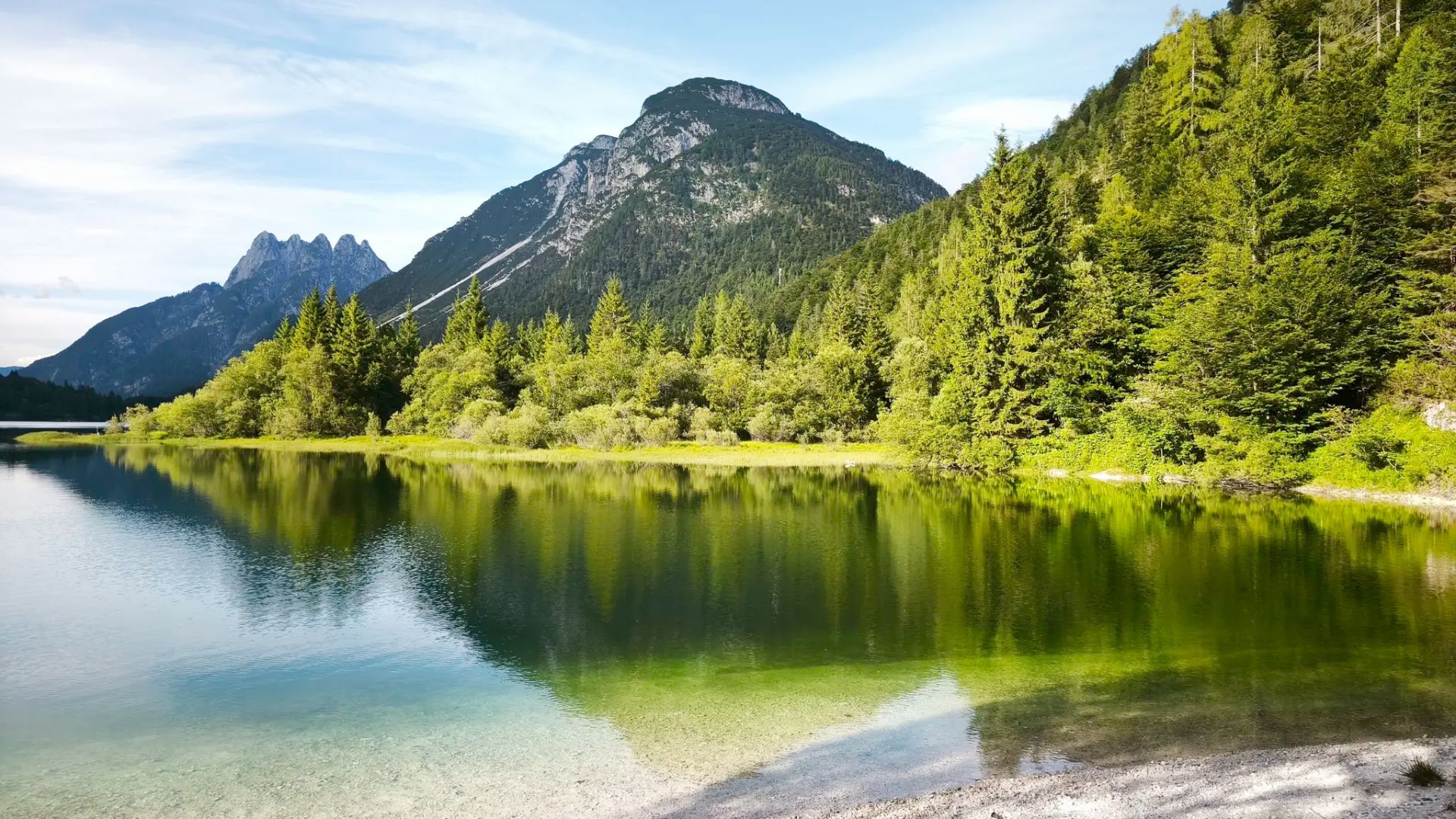
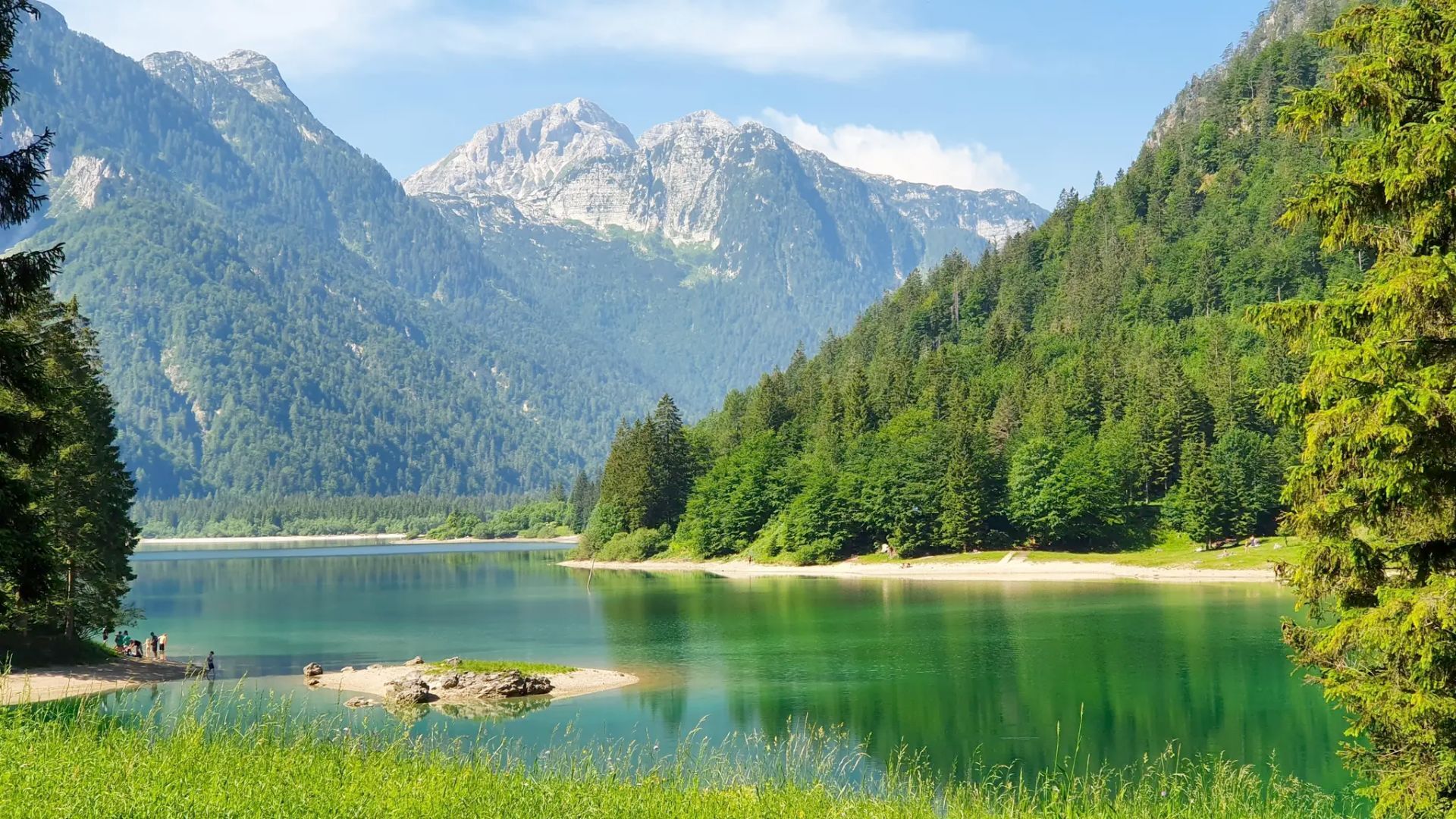
A few kilometers from the border with Slovenia, in the heart of the Julian Alps, the Predil Lake (or Raibl Lake) is a small natural wonder waiting to be discovered. Second largest among natural lakes of Friuli Venezia Giulia, it occupies an ancient glacial basin nestled among majestic peaks and silent woods.
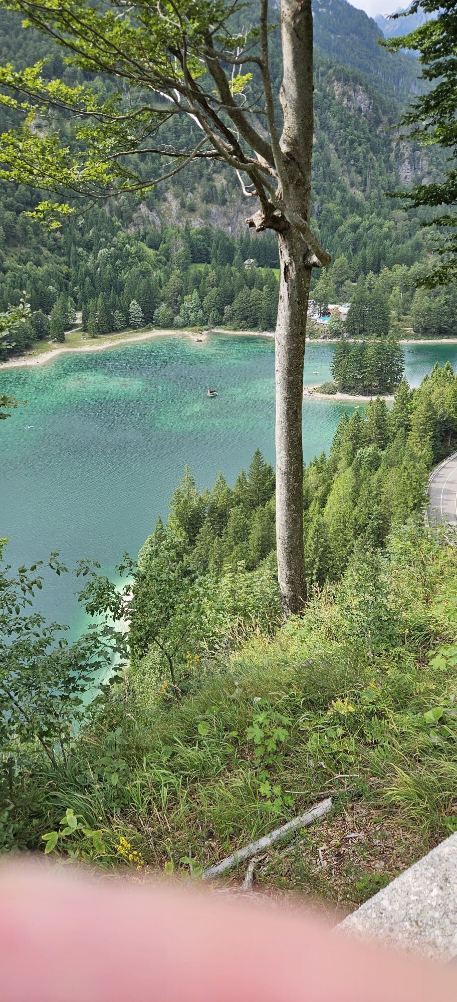
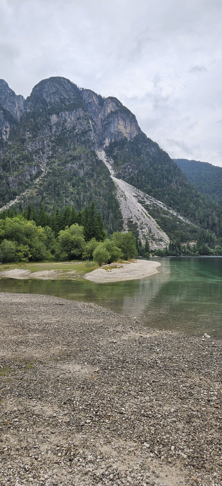
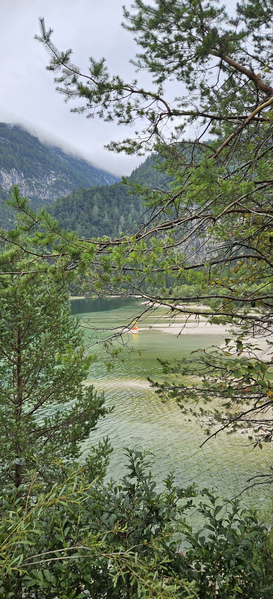
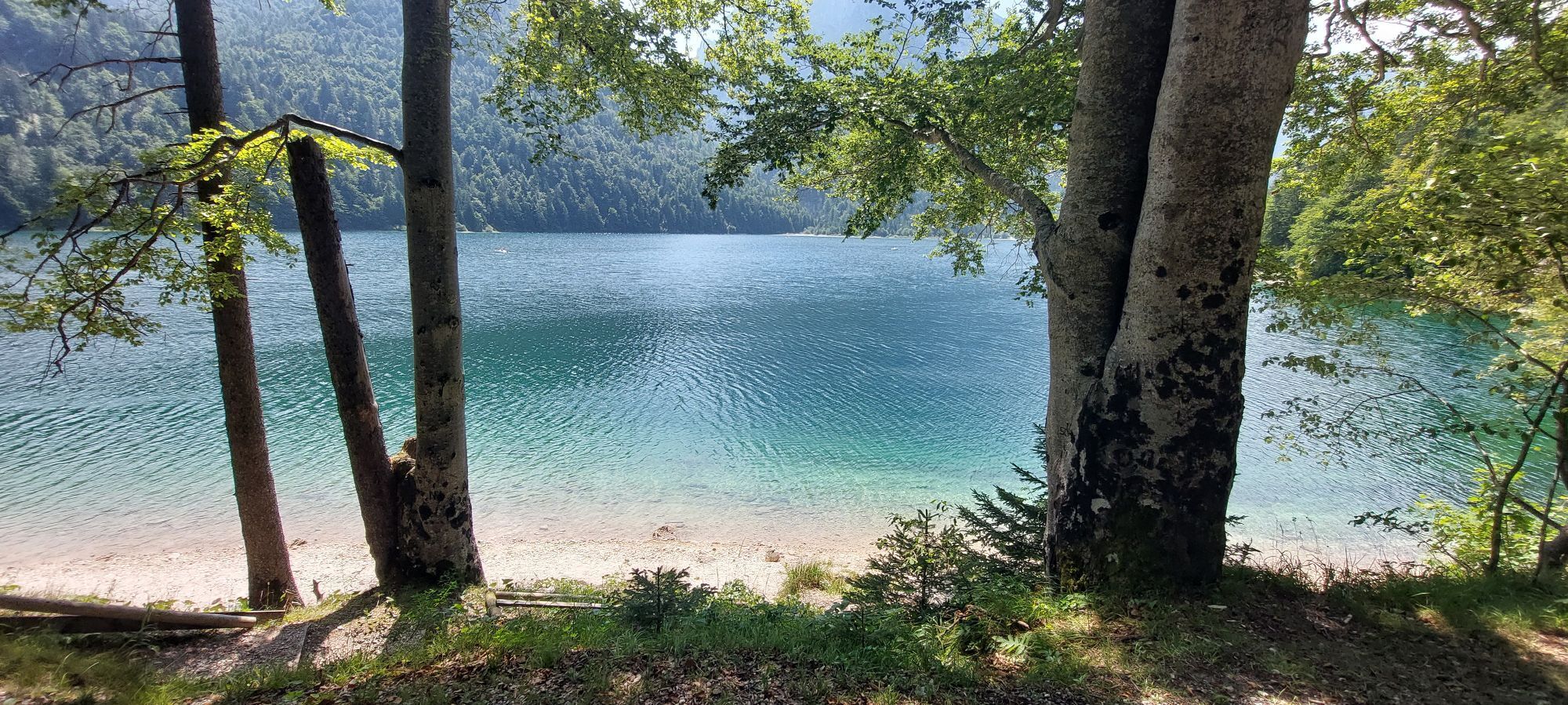
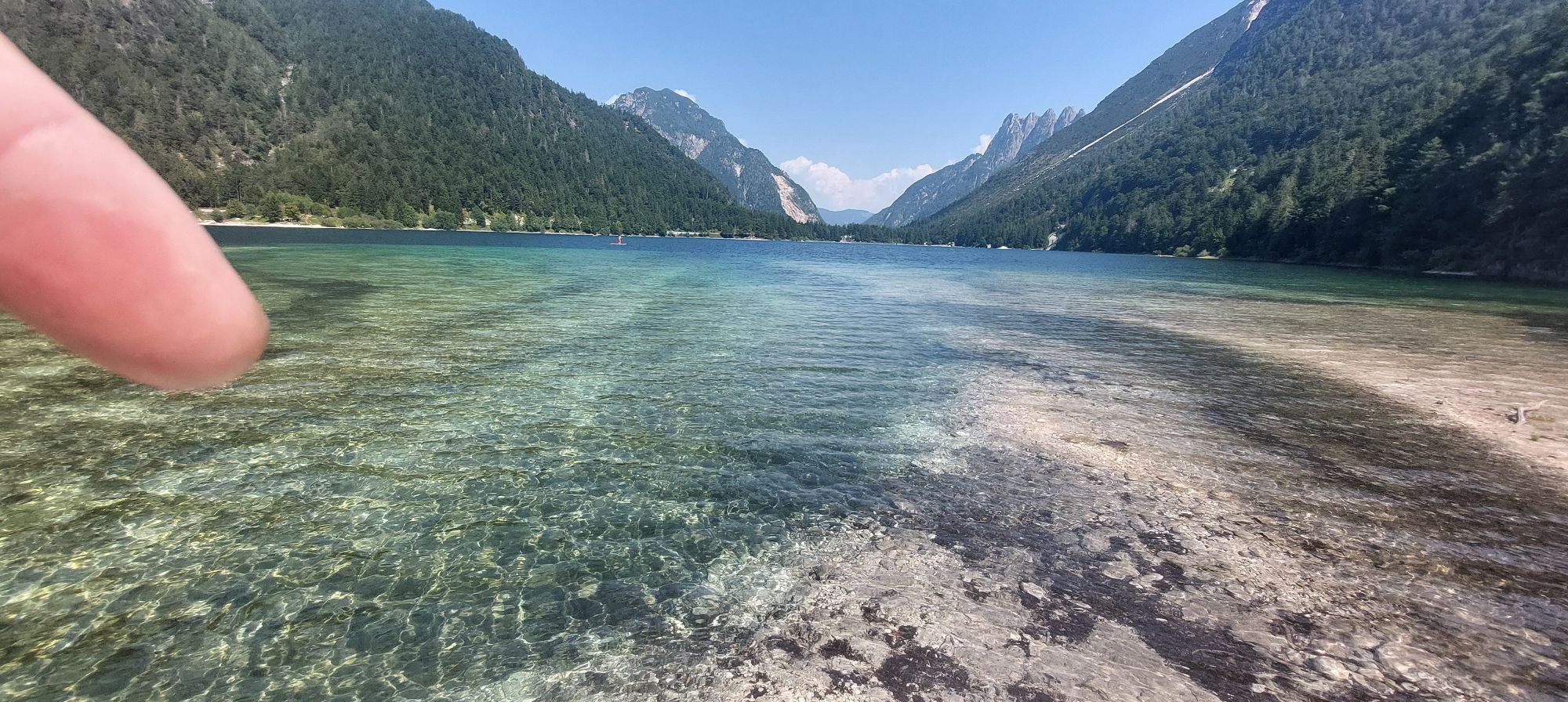
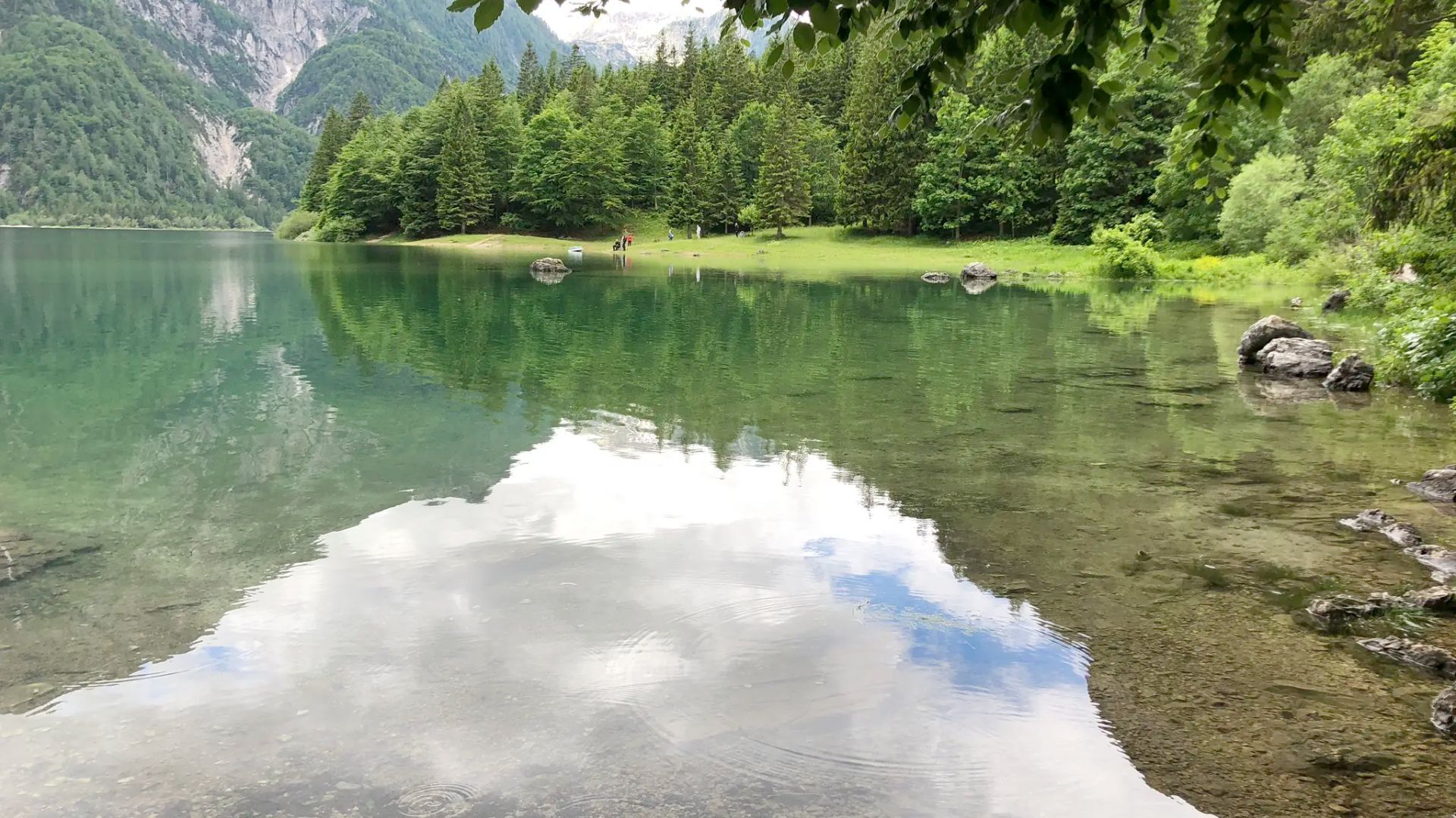
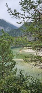
The mountain streams feed the lake with waters so pure that they color it an intense green-blue. In summer, it invites swimming, with perfect spots to relax, sunbathe, and admire the alpine landscape.
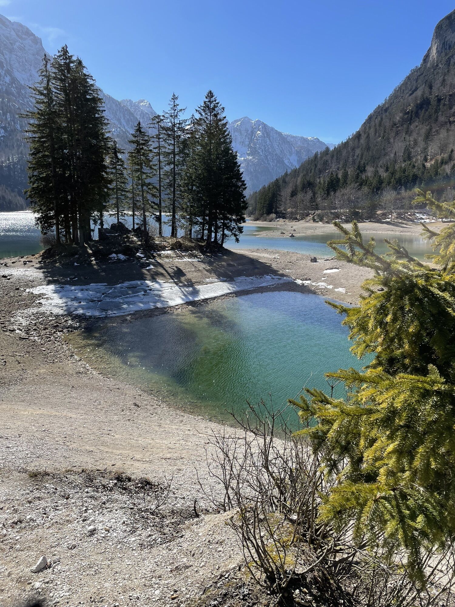
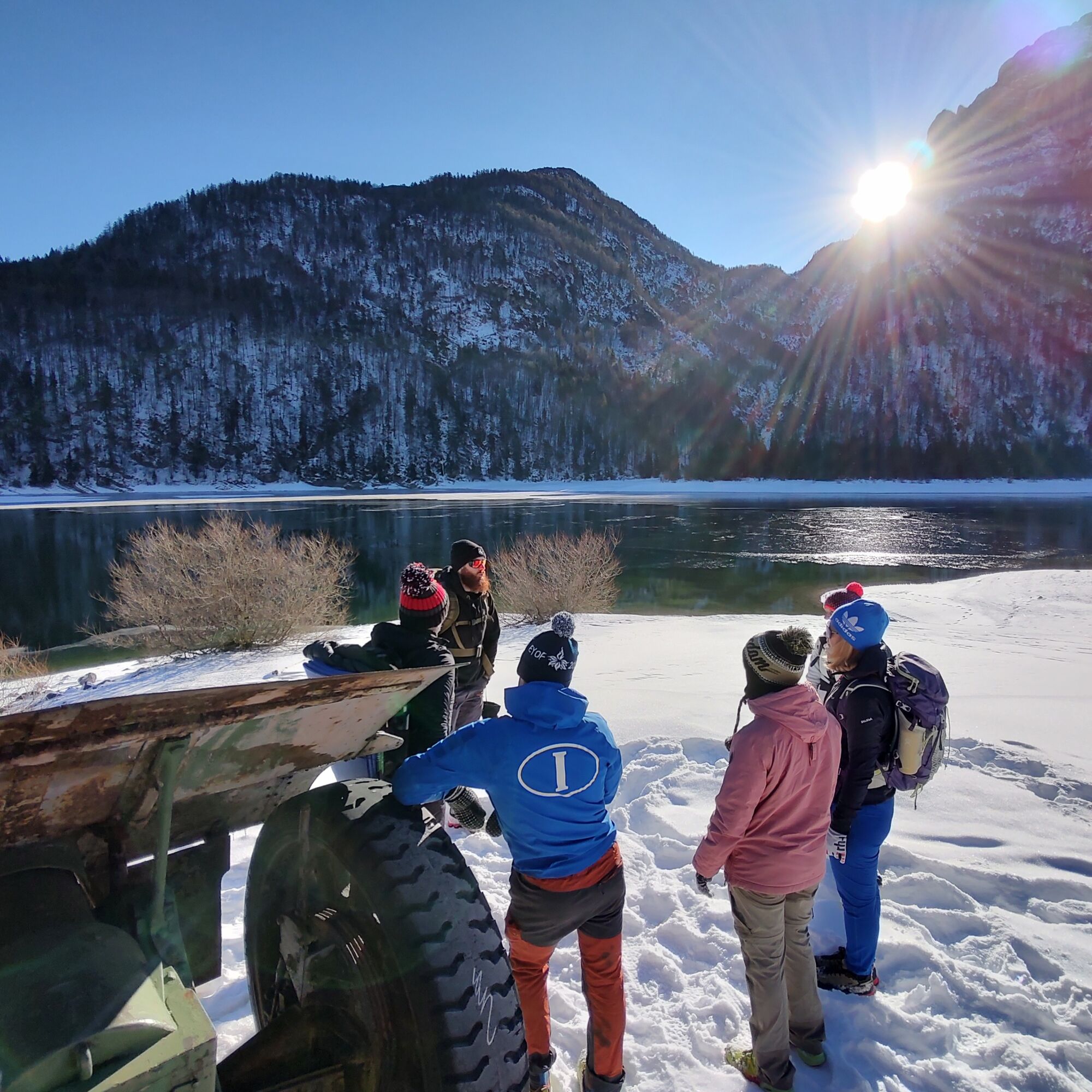
In winter, the lake transforms into a frozen mirror: a suspended place, ideal for those who love quiet, muffled atmospheres, and the charm of winter in the mountains.
But Predil Lake is not just nature: along the trails, history also emerges, like at the Lago Fortress (Raibl Fortress), a testament to the military past of the area and a guardian of the memory of a border territory.

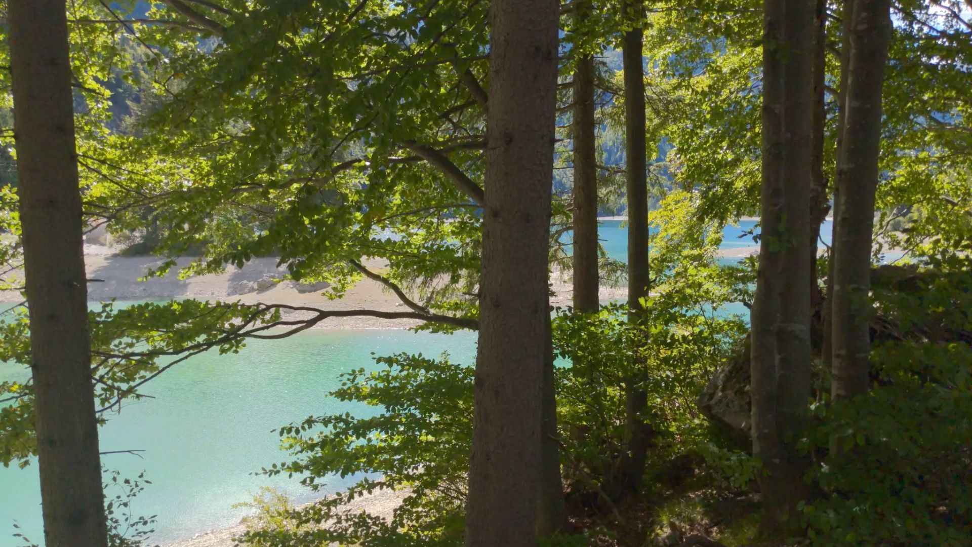

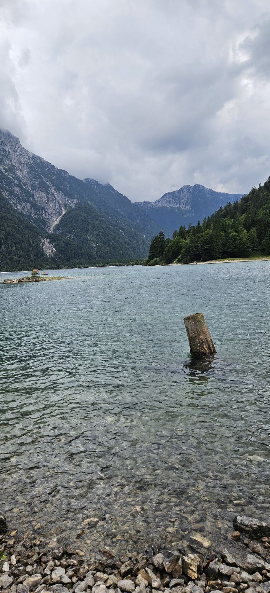
From the parking lot at the bar/restaurant Chalet al Lago, take the trail initially running alongside SP76 towards Sella Nevea. The path develops slightly elevated above the shore, offering panoramic views and some benches. In some parts it is possible to access the lake via wooden stairs.
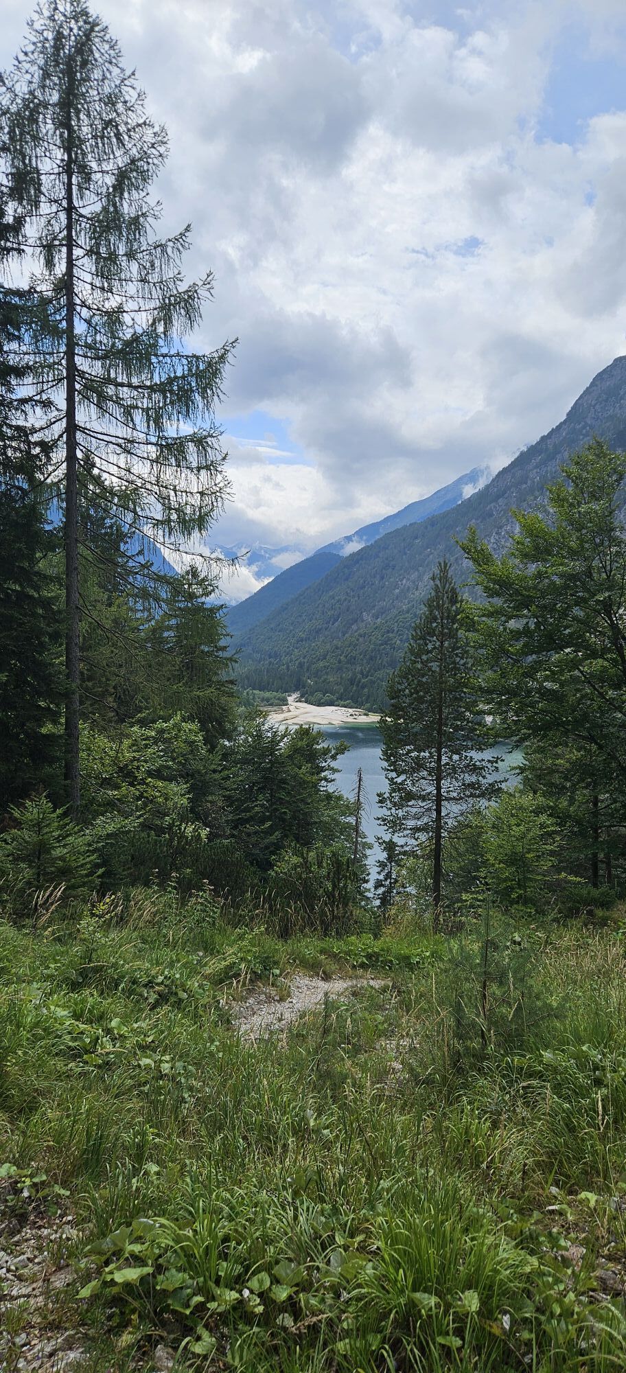
After about 2 km, the trail joins a dirt road, marked by a large wooden sign with the inscription “Lake Loop.” From here, descend towards the bed of the Rio del Lago (be careful in case of heavy rain). At the first fork, turn left, continuing on a flat dirt road following the eastern edge of the lake.
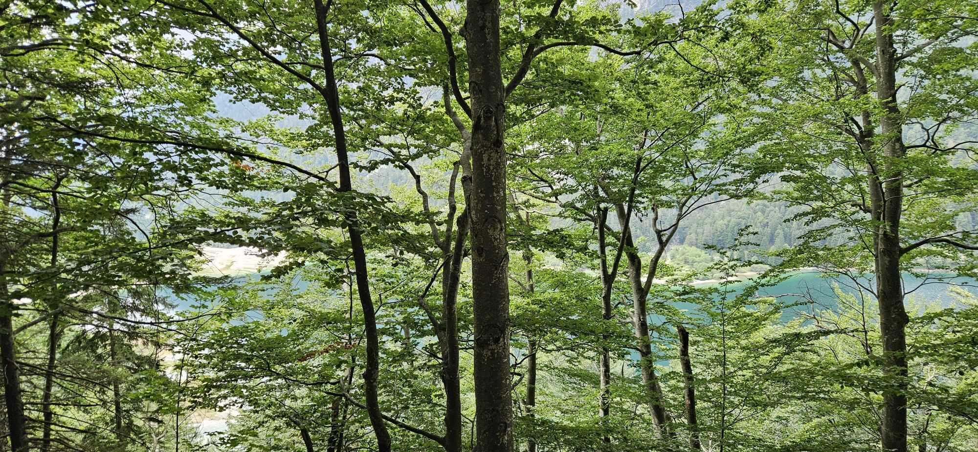
Upon reaching the bed of the Rio Verde, the most challenging section begins: the trail, always well marked, ascends with numerous switchbacks through the beech forest on the northern slopes of Cima dei Mughi (sections equipped with metal cables). After a flat section and the Predil Channel, you exit the forest reaching SP76 at the third hairpin, ascending towards Passo del Predil. Staying on the left side of the road, it is possible to continue descending to the first hairpin and proceed carefully along the highway for a few hundred meters (no shoulder), until a new trail sign indicates access to an old former military dirt road. After about 200 meters, turn left onto a well-marked path that descends with some bends until reaching the asphalt again near the bridge over the lake’s outflow.
The loop concludes by following the last section along a short path on the left that leads directly to the shore, in front of the characteristic islet. In a few minutes, you return to the starting point at Chalet al Lago.
Ano
Ano
Normal hiking equipment, depending on the season.
Route not recommended in case of uncertain weather (the eastern part in the woods is uneven and rather steep with some sections equipped with cable).
Along the loop, water sources are almost absent; in particularly hot days, consider carrying an adequate amount of water.
From Tarvisio, take the SS54 following signs for Sella Nevea, passing through the towns of Riofreddo and Predil Caves. A short distance from the lake, take SP76 (signs for Sella Nevea) and, after about 180 m, turn left to park near the "Chalet Al Lago."
The starting point is also reachable by public transport. From Tarvisio, you can reach the lake by taking the TPL 204 line Tarvisio – Predil Caves. Tarvisio, in turn, is easily accessible by both bus and train.
Parking near the "Chalet Al Lago".
T2
Recommended route in autumn thanks to the intense coloring of the foliage of the woods surrounding the lake, but also very scenic in winter in its easiest part, although the use of crampons is recommended. It is advised to visit the nearby Predil Caves mines with the related mining museum, a place of undeniable charm rich in history and meaning.

Oblíbené prohlídky v okolí
- 4,7
Jezera Fusine
světloTuristika 5,43 km - 4,9
Orrido dello Slizza, Tarvisio, Italië
světloTuristika 2,65 km - 4,5
Monte Lussari
středníLyžařská trasa 10,7 km - 4,4
Monte Lussari über den alten Pilgerweg
středníTuristika 6,43 km - 4,4
Cima di Terra Rossa
Turistika 4,90 km - 4,3
Zacchi Wanderung Rundweg
světloTuristika 8,85 km - 4,7
Weißenfelser Seen: Fusine in Valromana - Ai Sette Nani - Seealm
středníTuristika 10,3 km - 4,2
Monte Santo di Lussari, Skitour, Pilgerweg
středníLyžařská trasa 9,35 km - 4,3
Grande Ponza
Via ferrata 9 km - 4,0
Jof di Miezegnot 2087m (Malborgether Mittagskofel)
Turistika 9,90 km
Pěší turistika a stopování


Nenechte si ujít nabídky a inspiraci pro vaši příští dovolenou
Vaše e-mailová adresa byl přidán do poštovního seznamu.