


NONGOLA AND MOLIESA PATH
Úroveň obtížnosti: T1
Fotografie našich uživatelů
 © Luca SangiorgioVytvořeno dne 26.11.2024
 © Luca SangiorgioVytvořeno dne 26.11.2024
 © Luca SangiorgioVytvořeno dne 26.11.2024
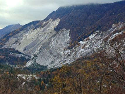 © Luca SangiorgioVytvořeno dne 26.11.2024
 © Luca SangiorgioVytvořeno dne 26.11.2024
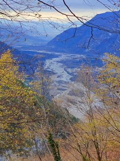 © Luca SangiorgioVytvořeno dne 26.11.2024
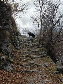 © Luca SangiorgioVytvořeno dne 26.11.2024
 © Florian DürneggerVytvořeno dne 09.11.2025
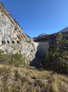 © Florian DürneggerVytvořeno dne 09.11.2025
 © Florian DürneggerVytvořeno dne 09.11.2025
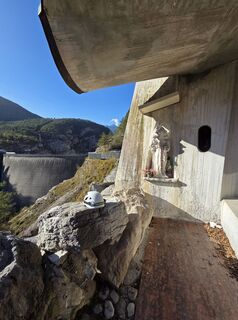 © Florian DürneggerVytvořeno dne 09.11.2025
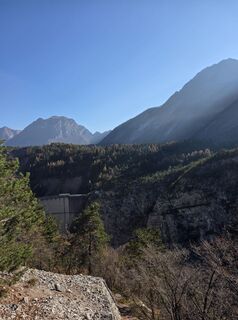 © Florian DürneggerVytvořeno dne 09.11.2025
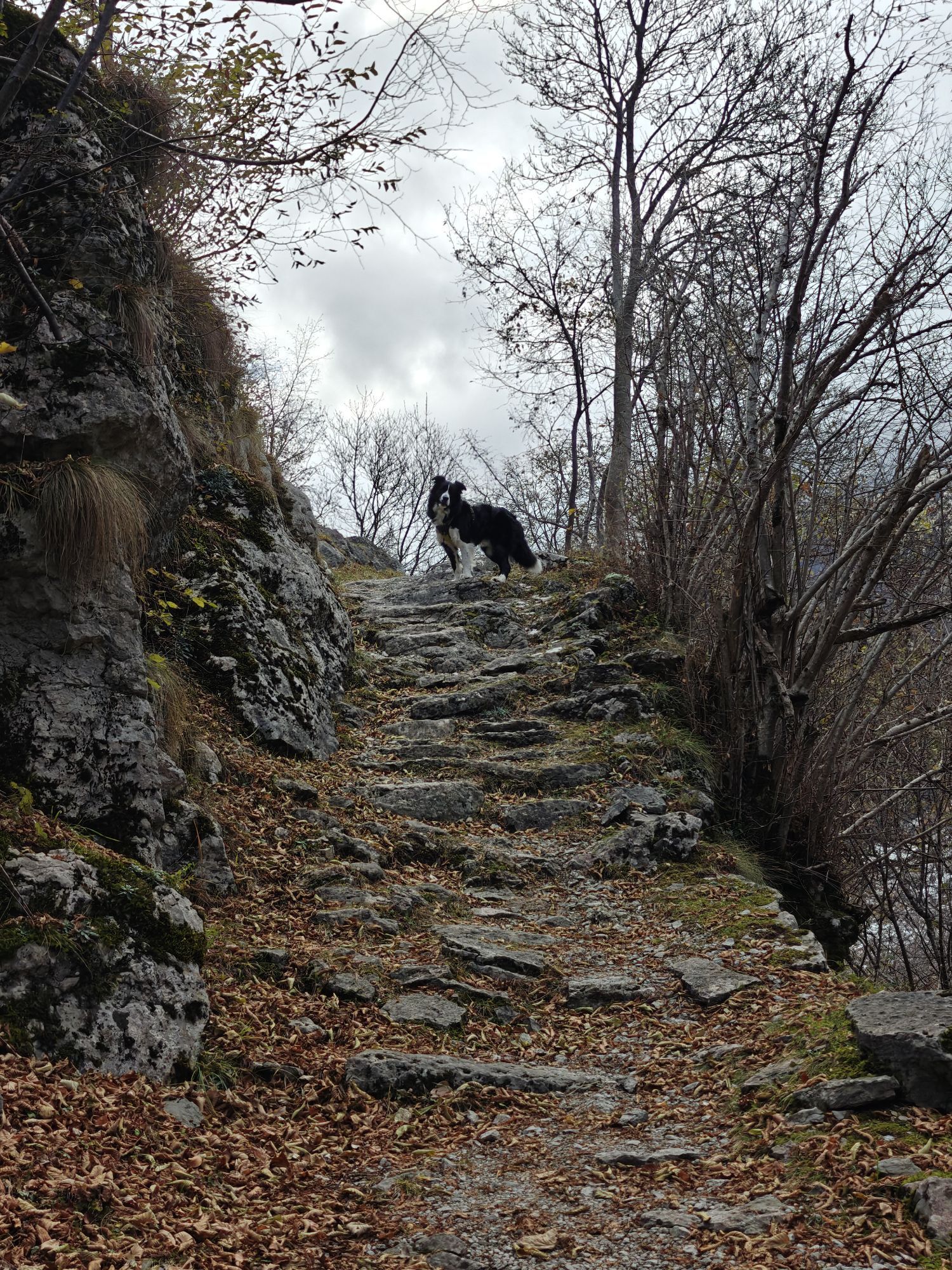

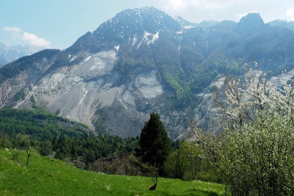
The start is from the large parking area located on the Monte Toc landslide. Once you cross the regional road and reach the nearby refreshment point Bar La Roccia, take the Nongola path. The path develops...
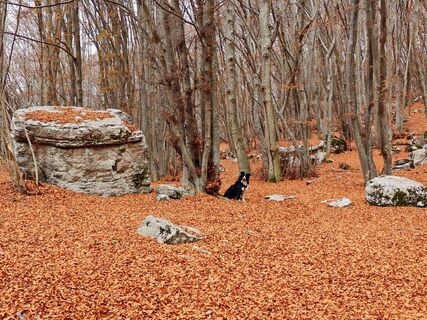
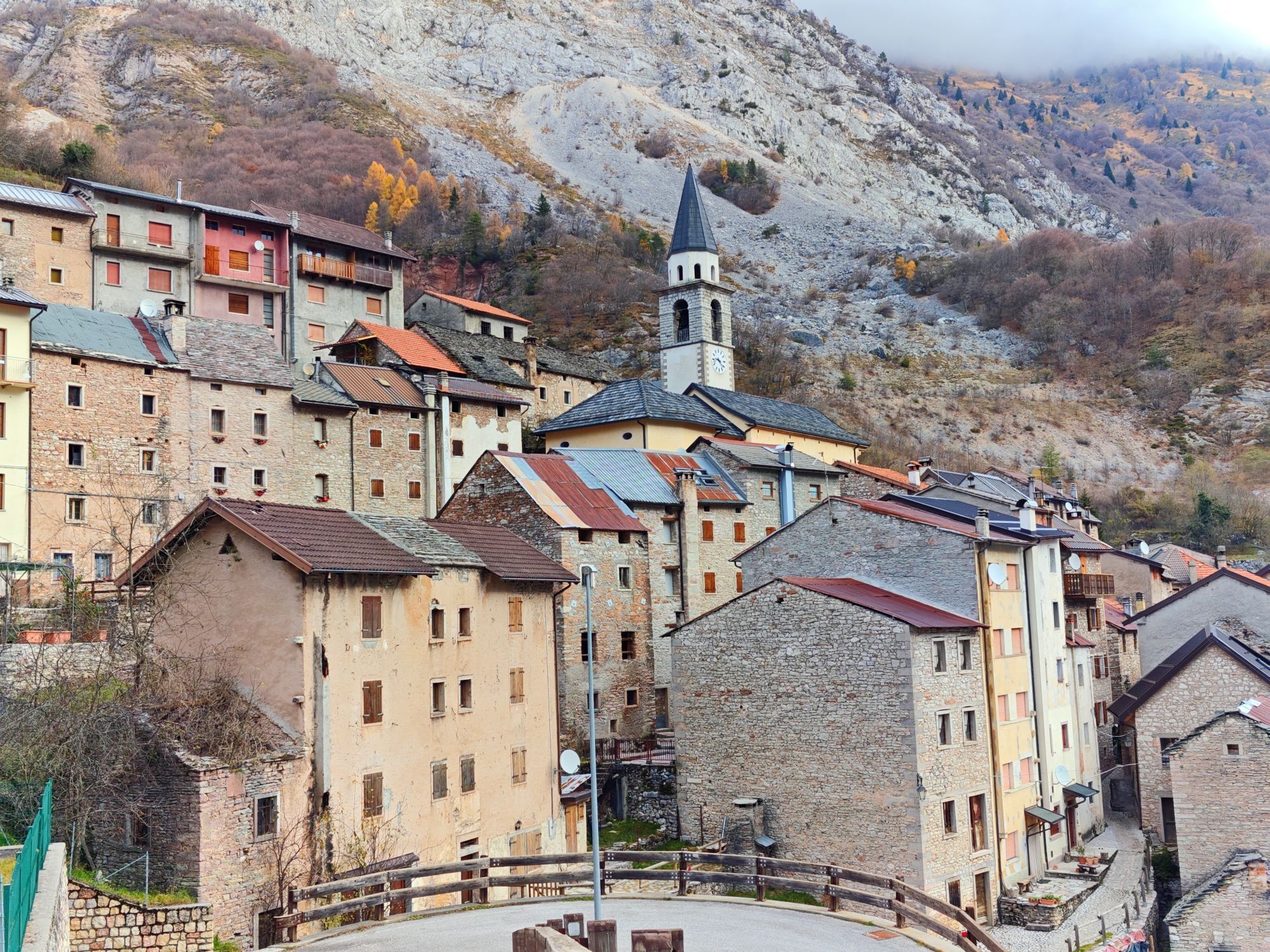
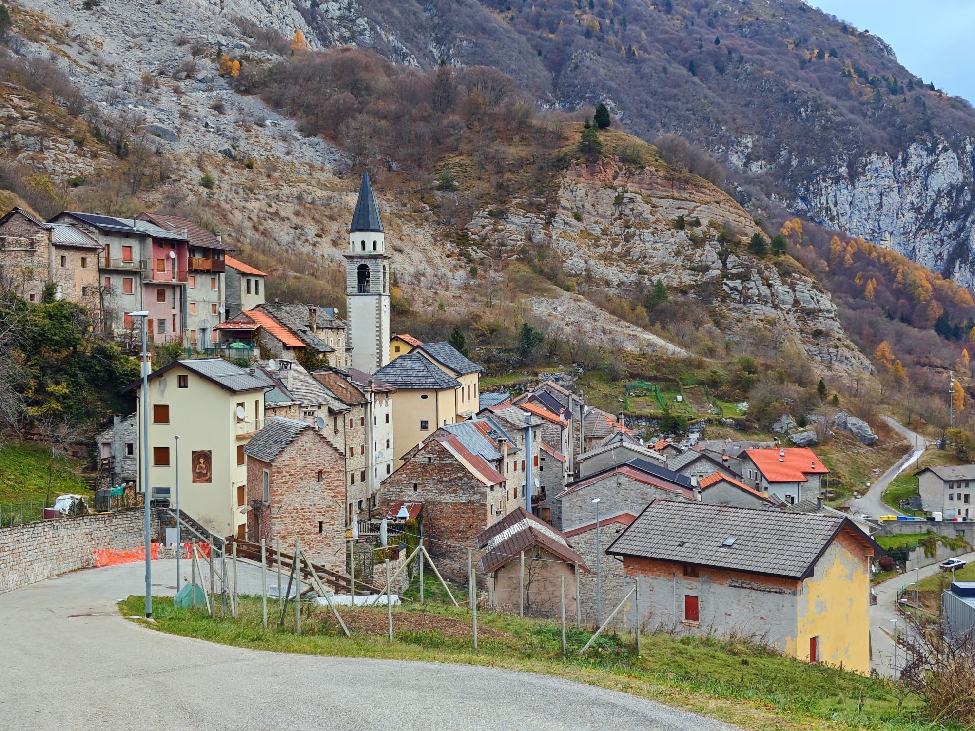
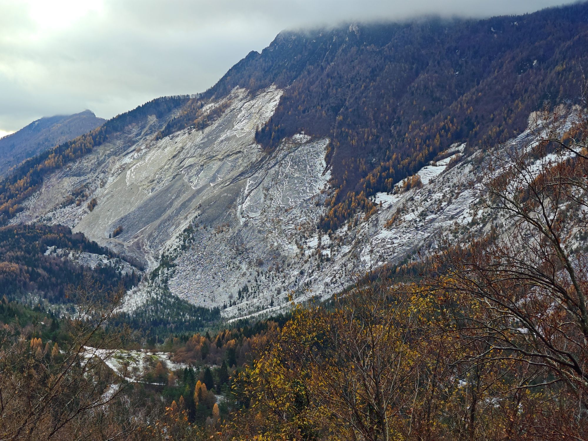
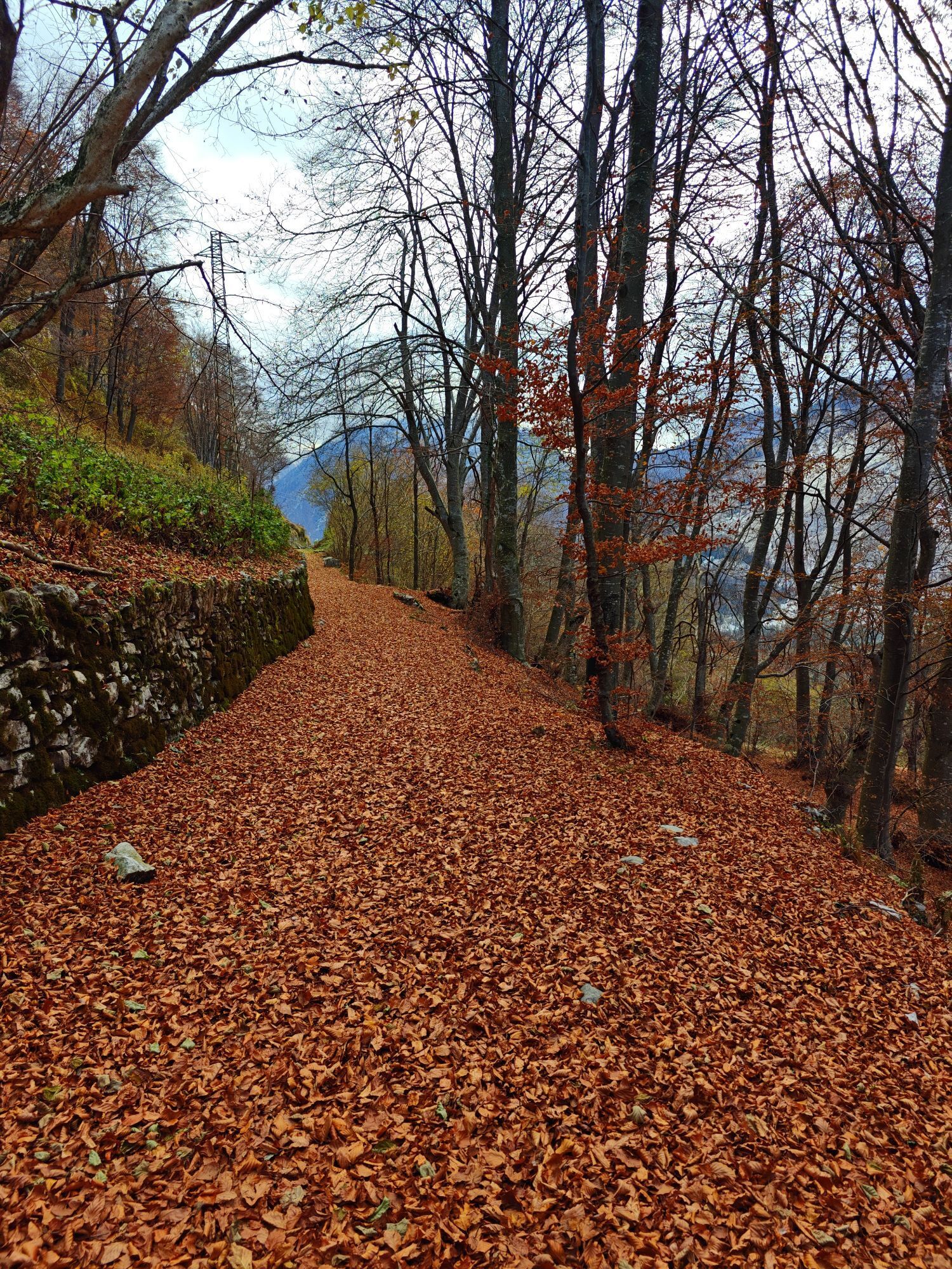
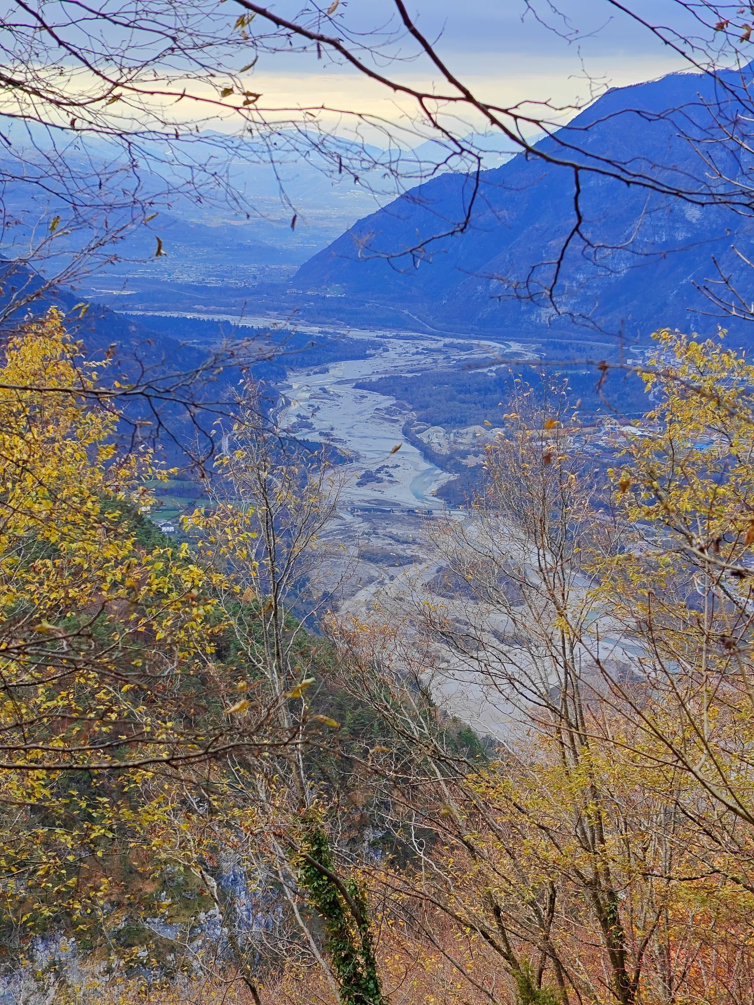
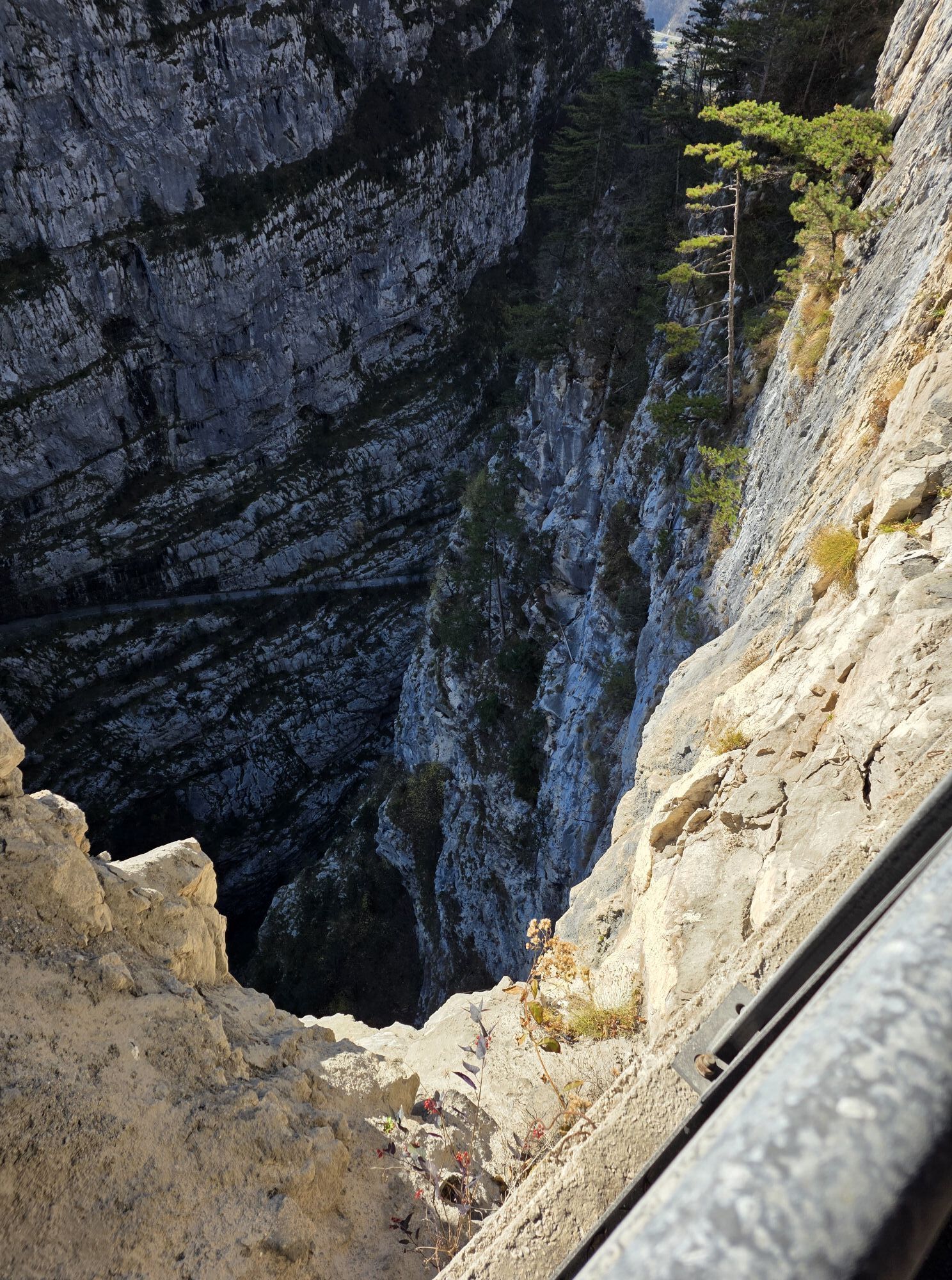
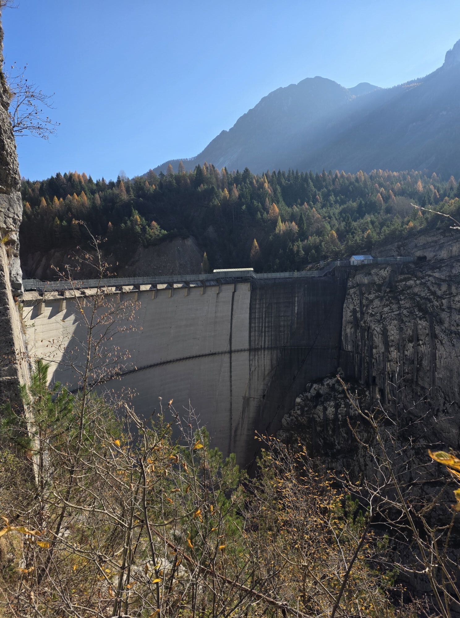
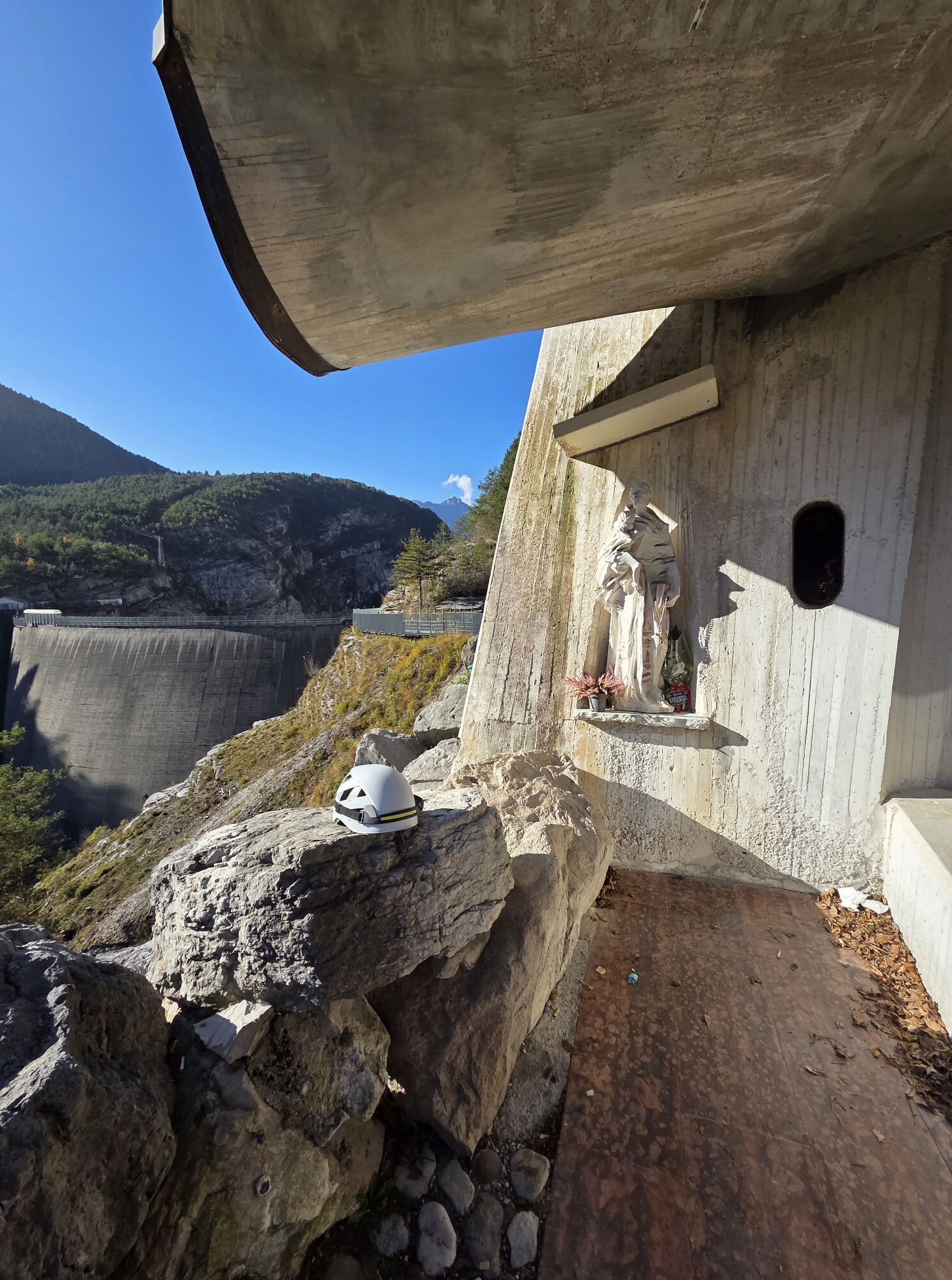
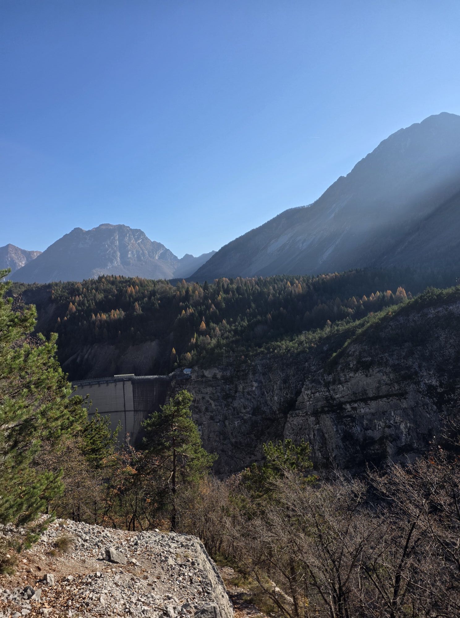
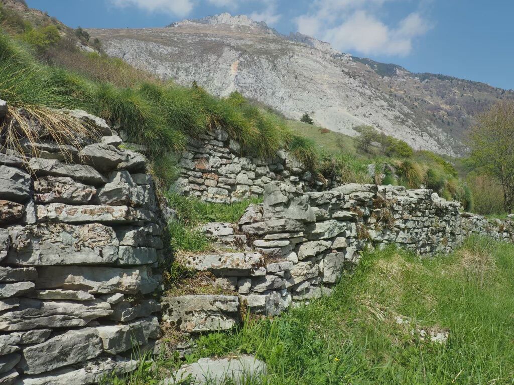
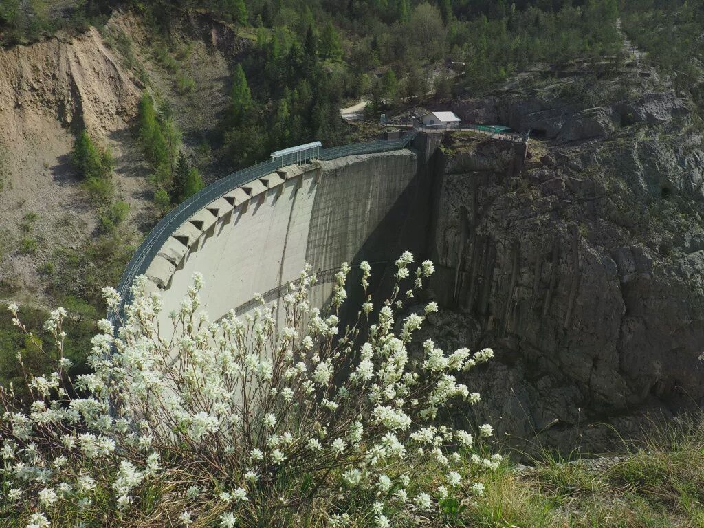
The start is from the large parking area located on the Monte Toc landslide. Once you cross the regional road and reach the nearby refreshment point Bar La Roccia, take the Nongola path. The path develops overcoming some rock ledges without difficulty, then leads through panoramic meadows until reaching the village of Casso, where the ancient houses, the doorways, the narrow streets, the stone roofs, and the surrounding terraces tell its ancient history (a first settlement seems to have been present already in the 14th century while a proper village existed since the 16th century). After passing the last houses heading west, you take the Moliesa Path which in the upper part coincides with the ancient Troi de Sant’Antoni, then separates from it and descends to the remains of the Vajont Dam worksites. Along the route there are several panoramic points from which it is possible to observe the Vajont Dam, the entire complex of the great Monte Toc Landslide, the Piave Valley and the village of Longarone: it is an essential itinerary to get a general overview of the dynamics of the catastrophe that marked the valley in 1963.

CAI trail markers 380A and 380
Ano
Ano
From hike
T1
https://app.parcodolomitifriulane.it/itinerari/semplici-per-tutti/sentiero-della-nongola-e-della-moliesa/
Oblíbené prohlídky v okolí
- 5.0
Zacchi-Berti-Marmol Schiara (B/C)
Via ferrata 16 km - 4.5
GALVANA TRAIL
heavyTuristika 12.2 km - 5.0
Via ferrata della memoria
heavyTuristika 9.52 km Col dei Piais, San Gualberto Crest Path and new Truoi de Thep
středníTuristika 12.4 kmRifugio Remauro - Col d'Orlando - Rifugio Dolomites - Monte Rite
středníTuristika 9.57 kmVal Pramper
světloTuristika 14.2 kmTREKKING FORCELLA DEL DURANNO
heavyTuristika 15.1 km- 4.5
Libri di San Daniele and Monte Borgà loop
heavyTuristika 14.1 km Monte Borgà from Rifugio Cava Buscada
středníTuristika 3.84 kmStrada della Val Cimoliana
středníTuristika 13.2 km

Pěší turistika a stopování


Nenechte si ujít nabídky a inspiraci pro vaši příští dovolenou
Vaše e-mailová adresa byl přidán do poštovního seznamu.