


Ring of Mount Cumieli and Lake Minisini
Fotografie našich uživatelů
 © RomanVytvořeno dne 27.07.2025
 © RomanVytvořeno dne 27.07.2025
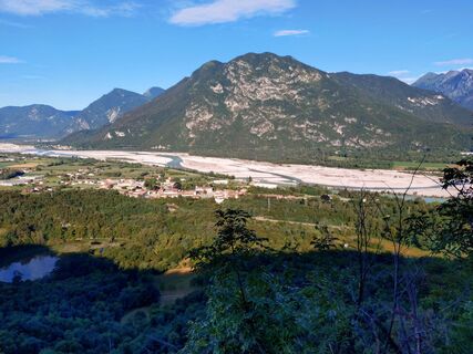 © RomanVytvořeno dne 27.07.2025
 © Fabio InfantiVytvořeno dne 30.01.2022
 © Fabio InfantiVytvořeno dne 30.01.2022
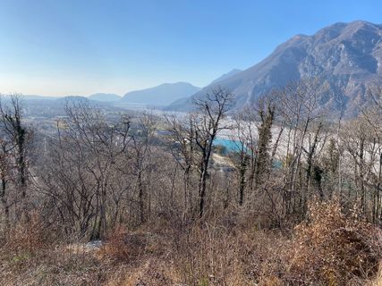 © Fabio InfantiVytvořeno dne 30.01.2022
 © Fabio InfantiVytvořeno dne 30.01.2022
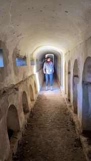 © Fabio InfantiVytvořeno dne 30.01.2022
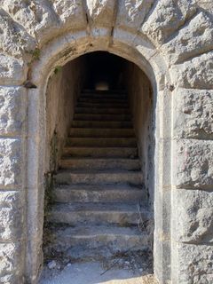 © Fabio InfantiVytvořeno dne 30.01.2022
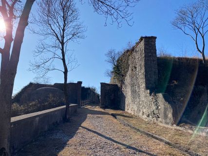 © Fabio InfantiVytvořeno dne 30.01.2022
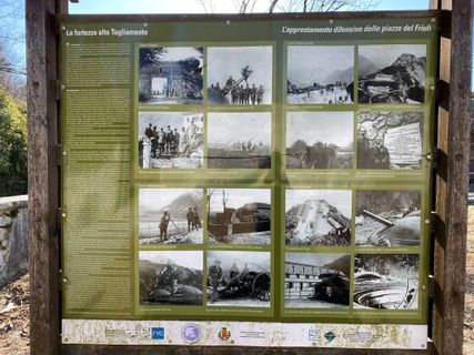 © Fabio InfantiVytvořeno dne 30.01.2022
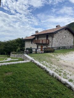
 © Gianberto ZilliVytvořeno dne 30.08.2025
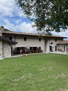 © Gianberto ZilliVytvořeno dne 30.08.2025
 © Gianberto ZilliVytvořeno dne 30.08.2025
 © Gianberto ZilliVytvořeno dne 30.08.2025
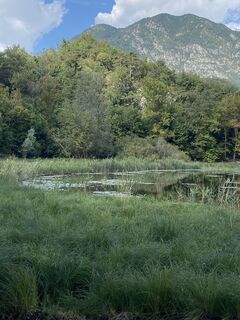 © Gianberto ZilliVytvořeno dne 30.08.2025
 © NicoVytvořeno dne 03.01.2025
 © NicoVytvořeno dne 03.01.2025

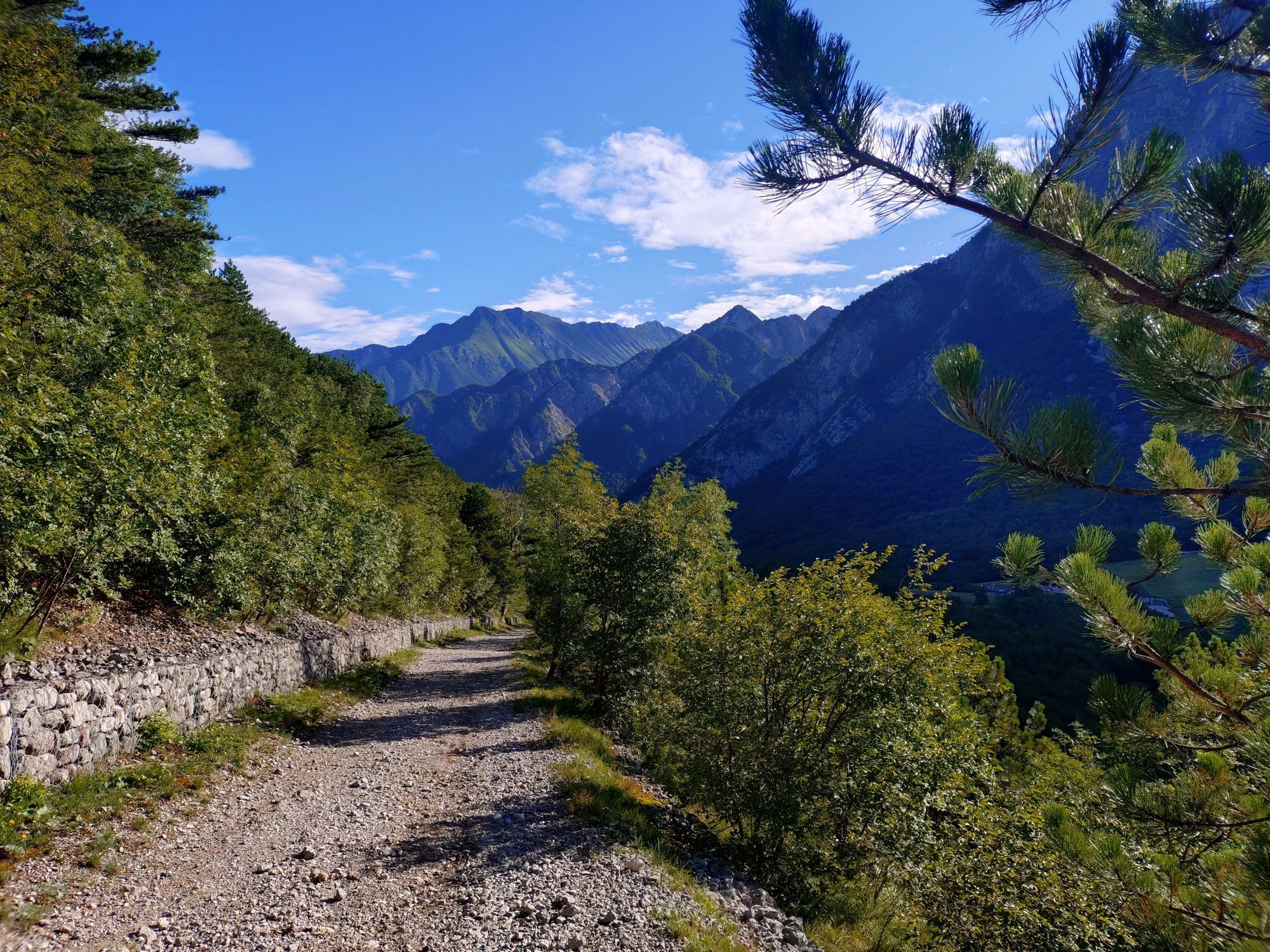
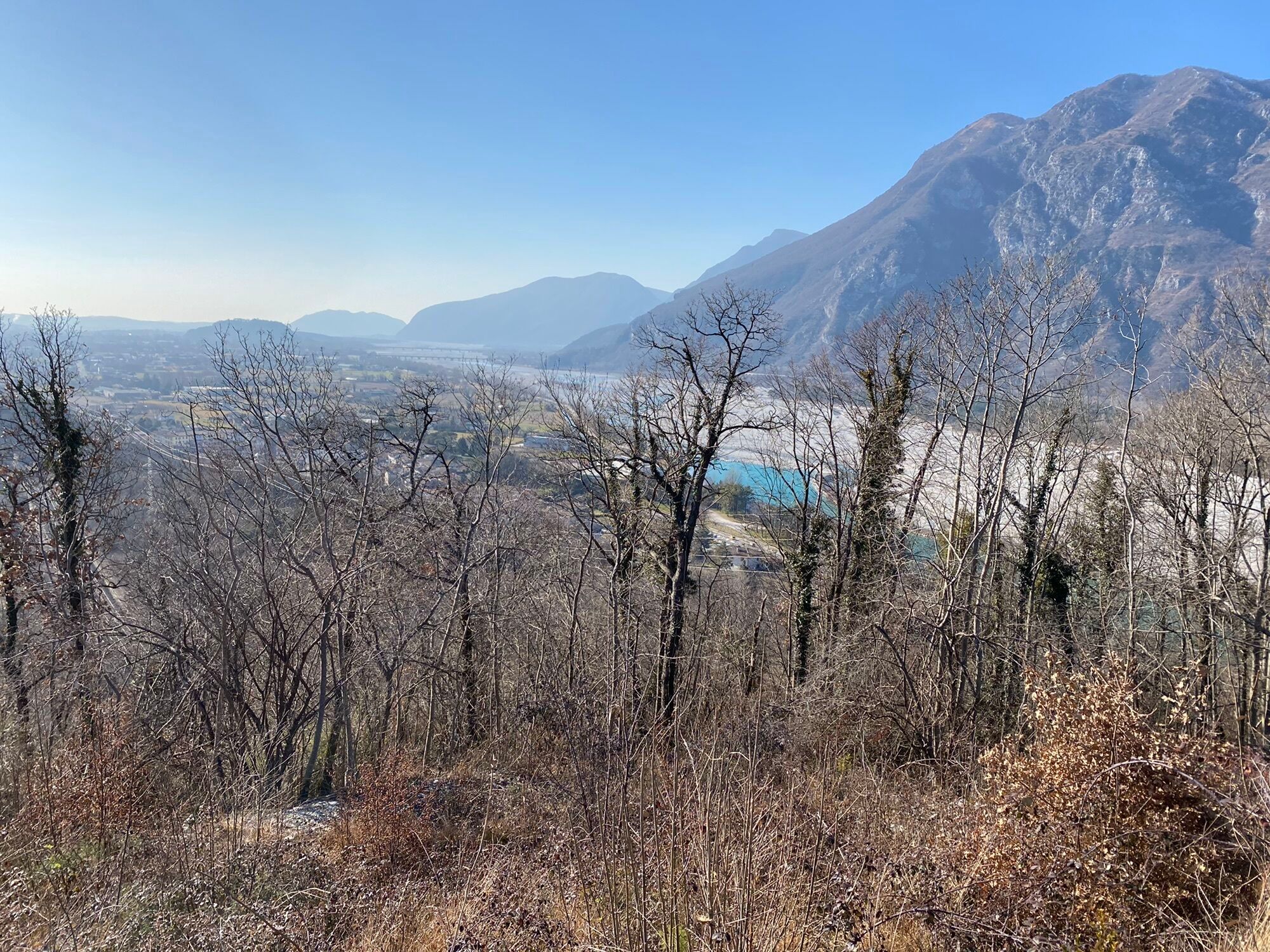


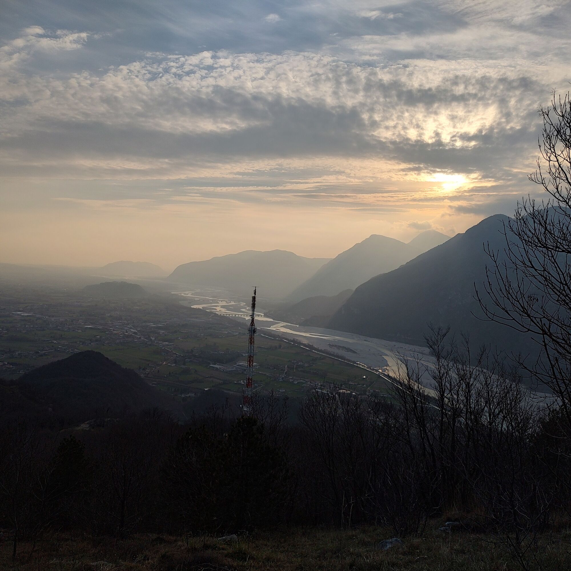
The route of this walk mostly unfolds over dirt roads and paths, offering a panoramic view of the foothills and the Friulian plain, despite the modest altitude.
With an extension of less than ten kilometers,...
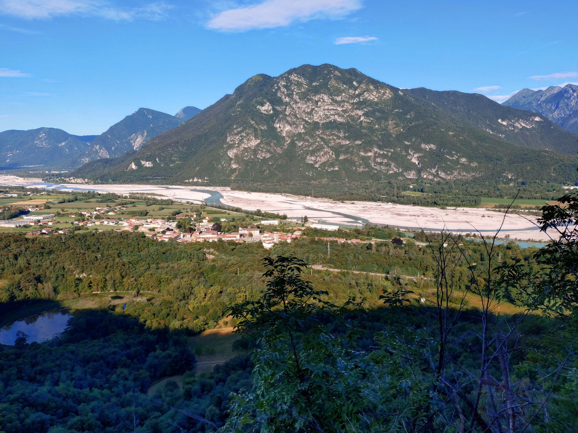
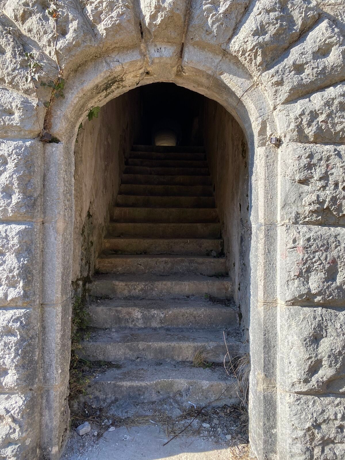
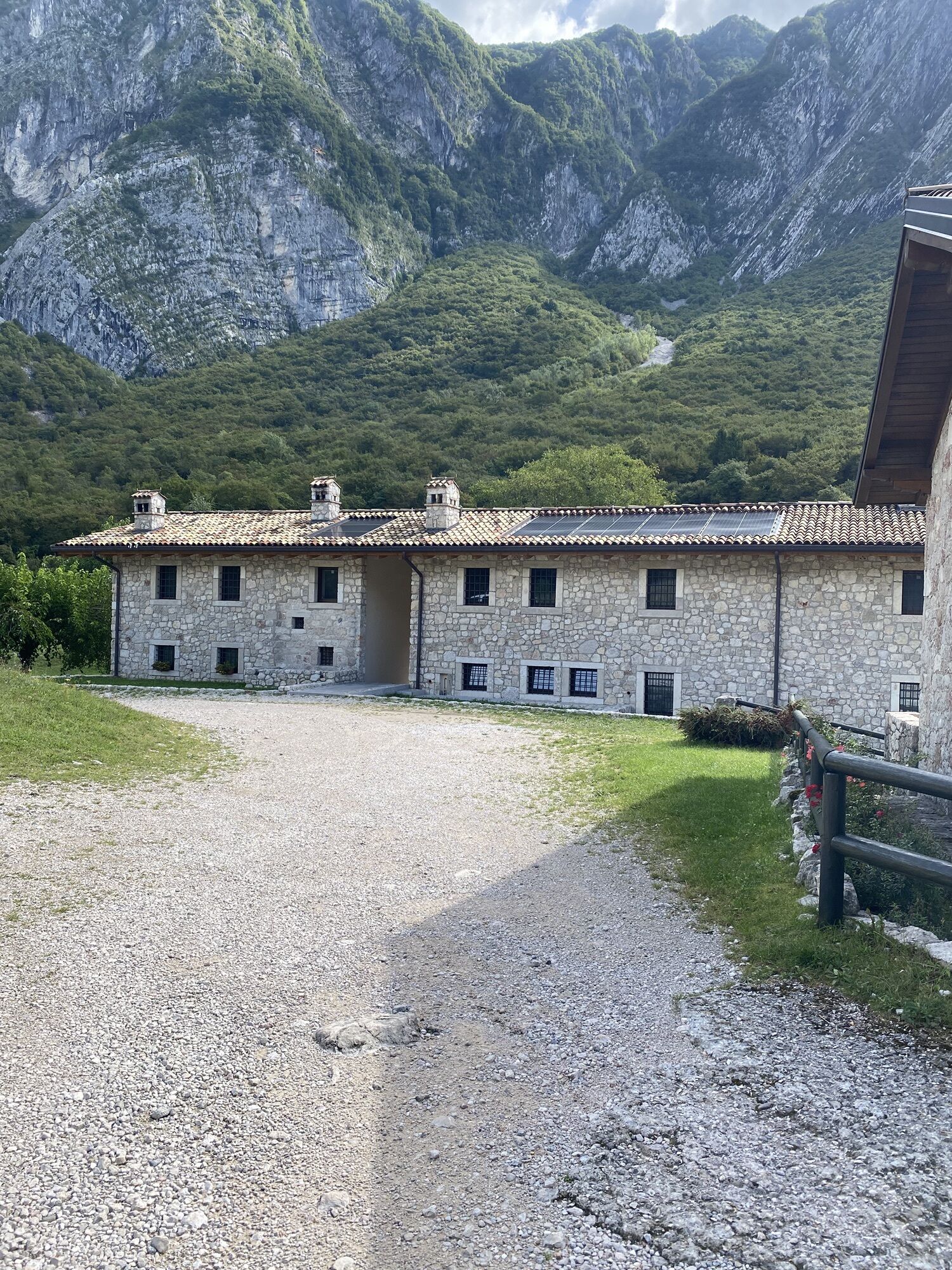
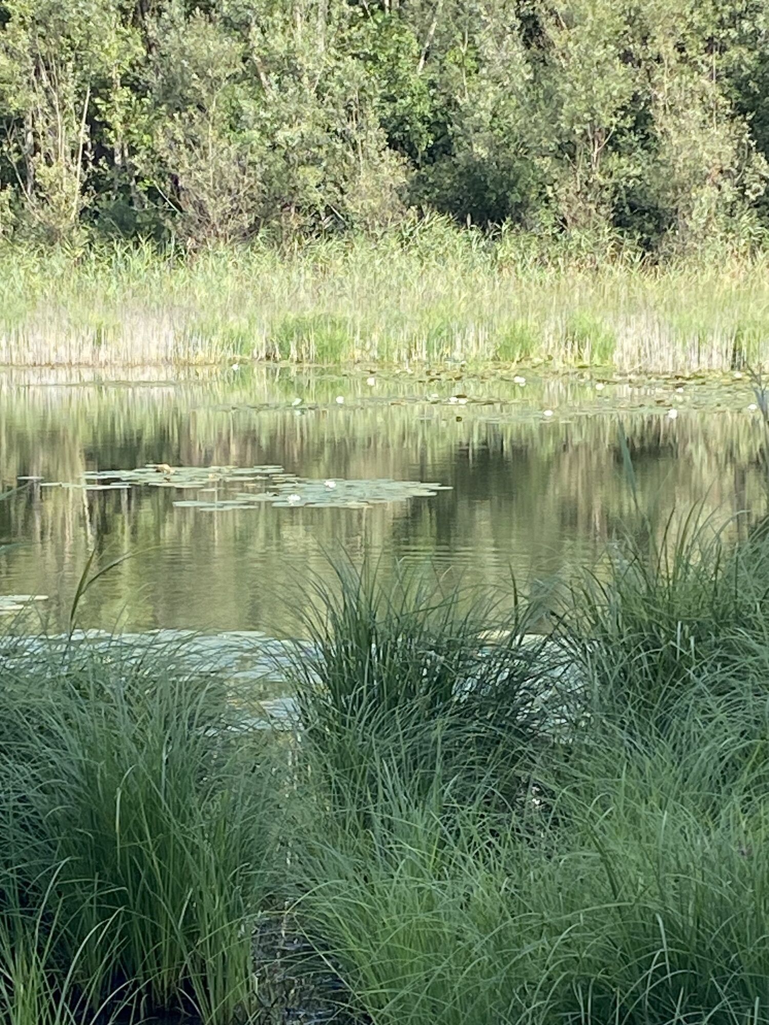
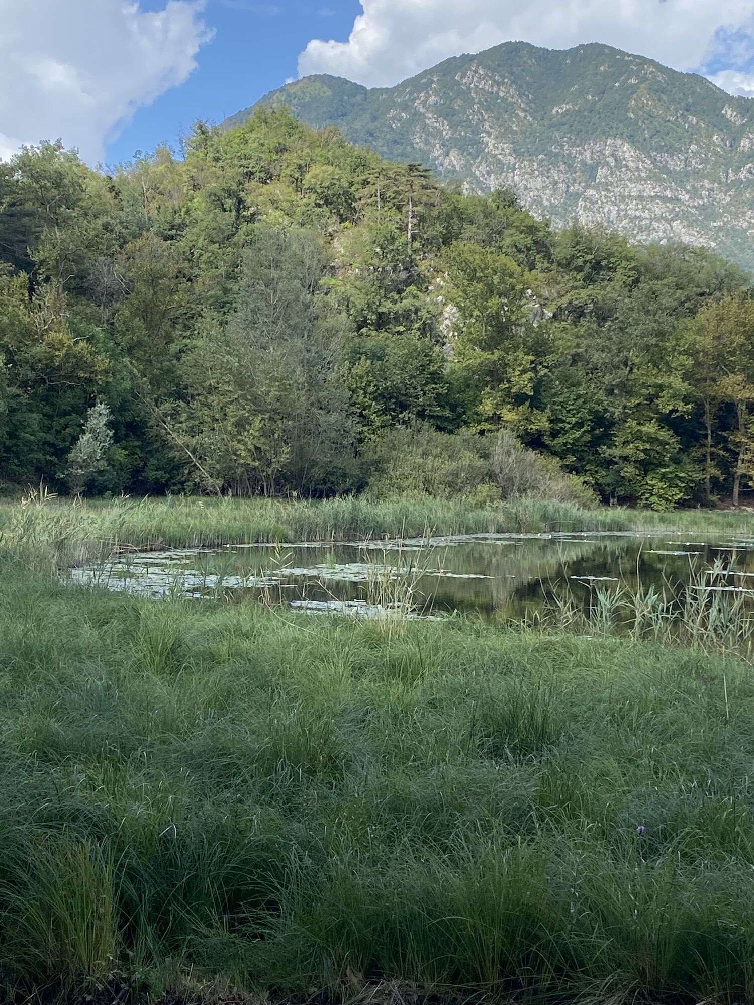
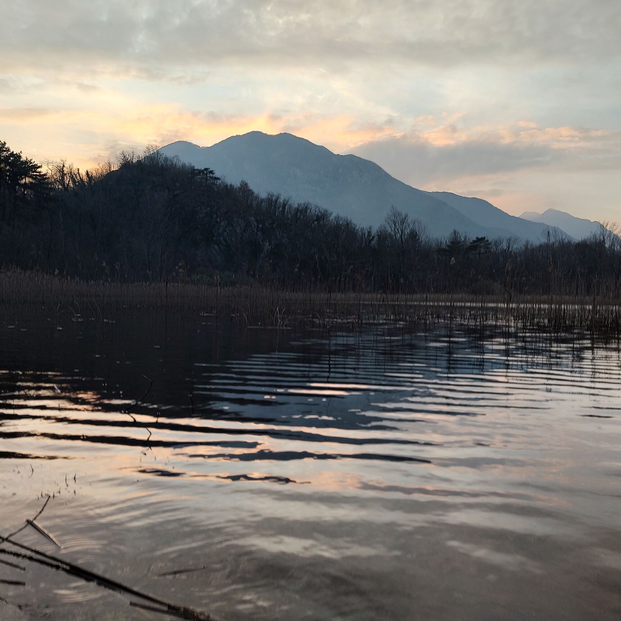
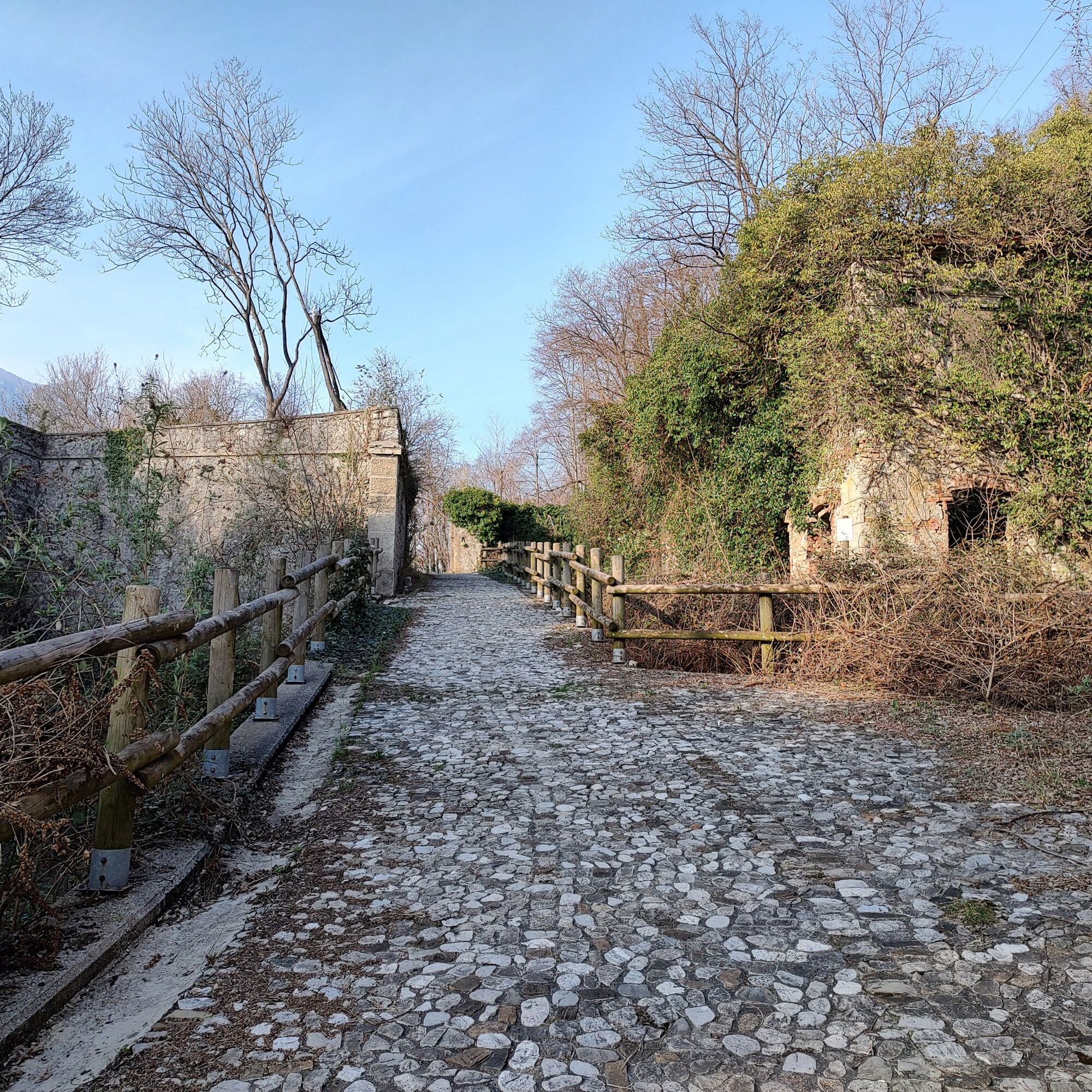
With an extension of less than ten kilometers, the itinerary crosses a geologically varied landscape, including the debris cone of the Rivoli Bianchi of Venzone, the Sant'Agnese saddle and the lake of Ospedaletto, known as lake Minisini, the largest natural water basin in the Julian Prealps. Along the way, you can explore the Fort of Monte Ercole, part of the Alto Tagliamento defense system, along with the nearby forts of Osoppo and Monte Festa. Built in 1904 to control the Foredor saddle, the fort had no opportunity to stop the Austro-German advance after Caporetto; its cannons were removed and the fort was destroyed to prevent its use by the enemy. Guard posts, three historic buildings, and three tunnels twenty meters deep—two of which were ammunition depots while the third housed a lift connected to the machine gun bunker—can still be observed.

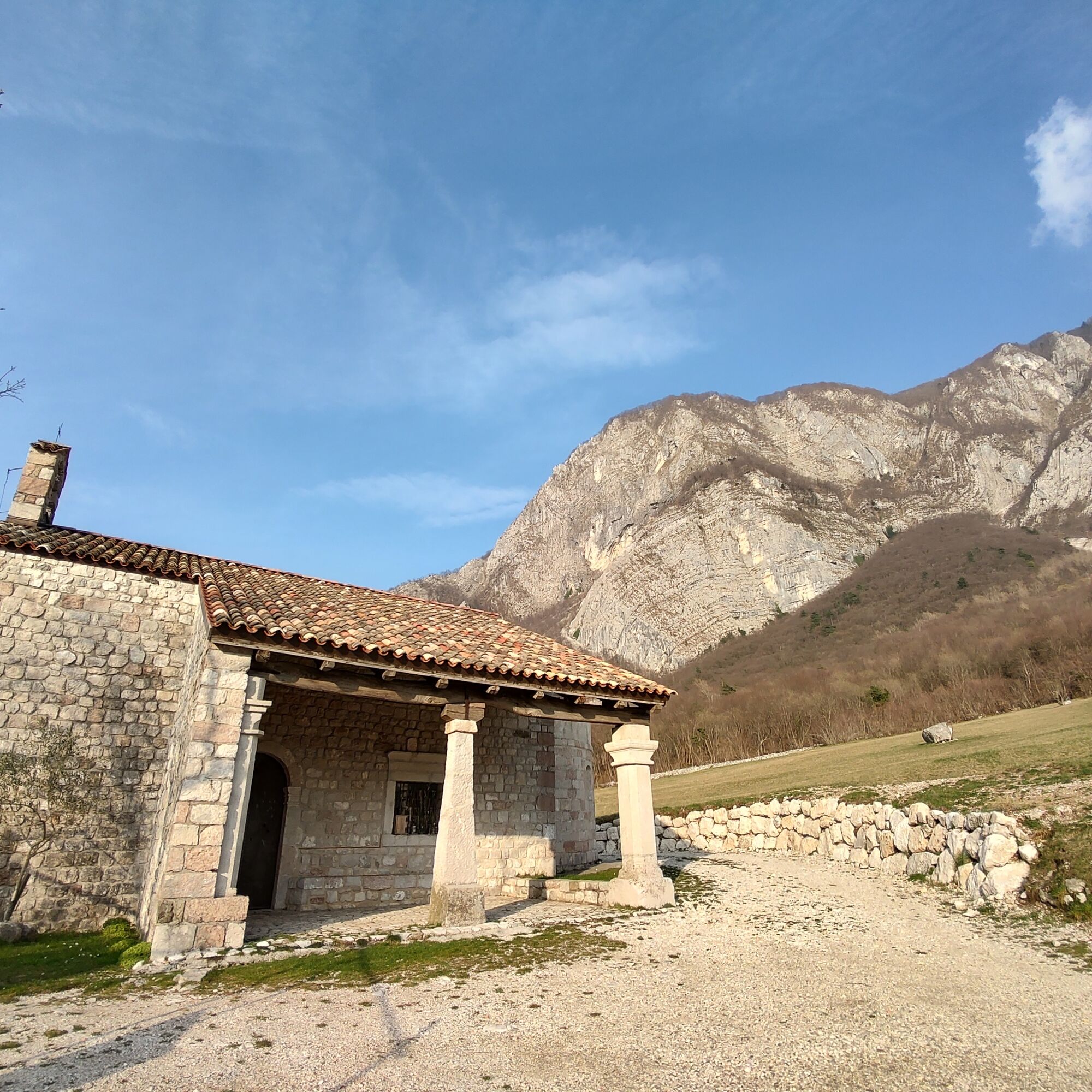
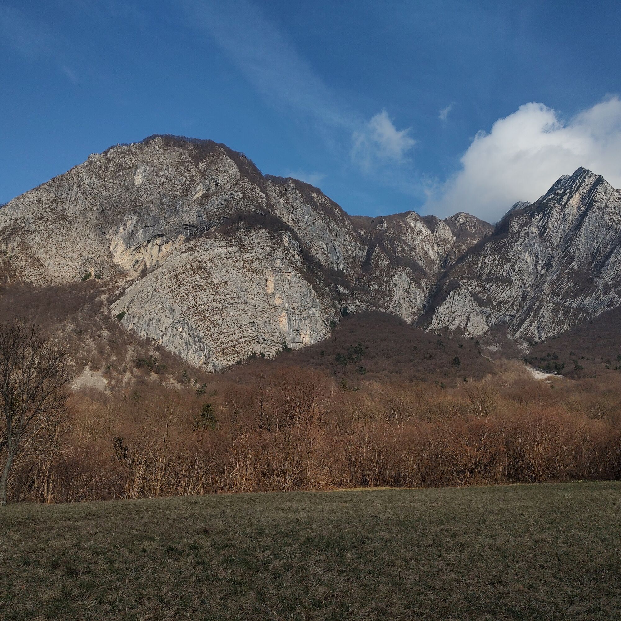
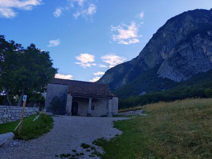
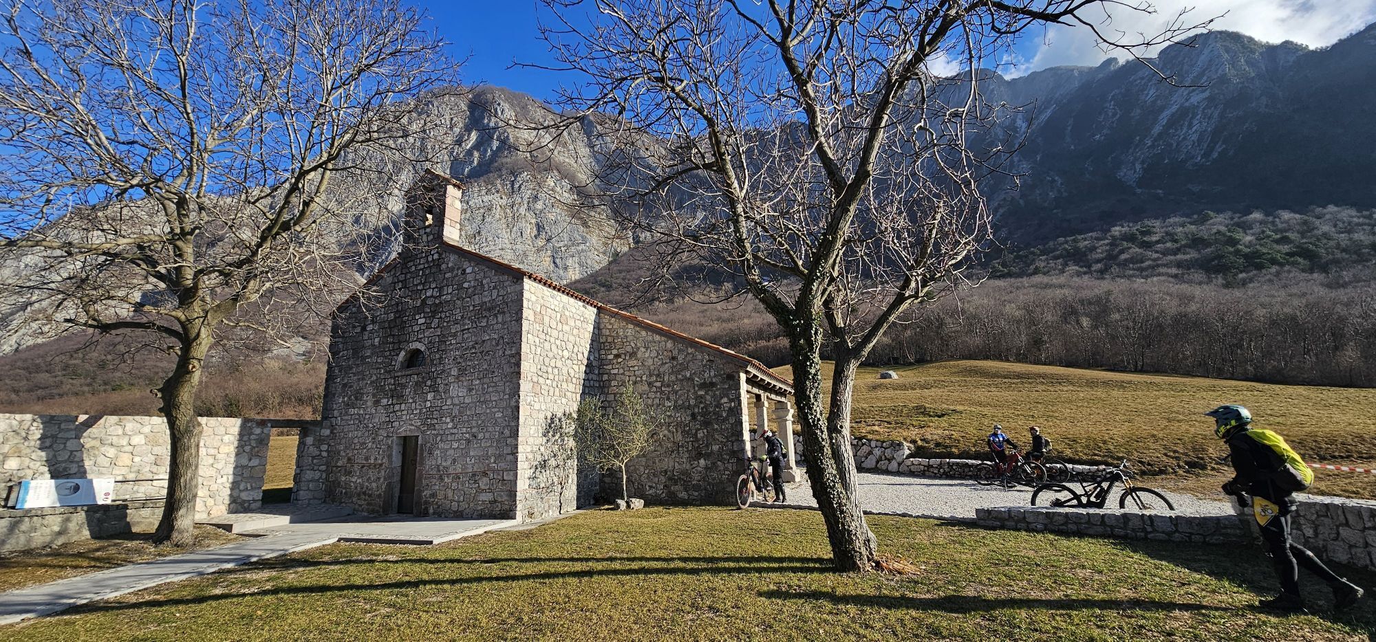
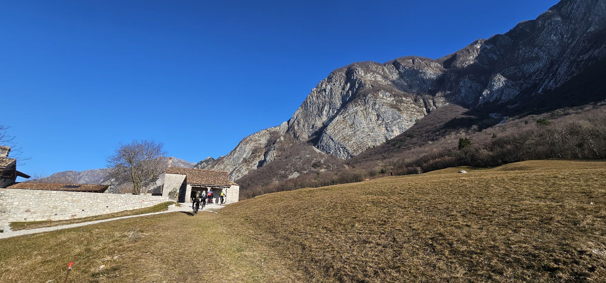
Once you reach the homonymous Fort, take the small road that crosses it (it is recommended to visit the upper part paying attention to the buildings) and continue along the dirt road uphill until you reach a large meadow with houses. From here, take the path that crosses the woods, paying attention to follow the provided track as there are many deviations. Staying more or less at altitude with some ups and downs, you reach the track that from the Rivoli Bianchi military range climbs to the Saddle of Sant'Agnese, where you will find a beautiful little church and also a fountain.
From the saddle, head east and resume Via Monte Ercole and, after about 700 m, you cross the small path that climbs to the panoramic summit of Mount Cumieli. Descend towards the road along the obvious path track then follow the road without deviations to the Fort along Via Monte Ercole, continuing next to the Lake and then up to the road that goes from Gemona towards Ospedaletto, returning to the parking lot through it.
Ano
Ano
Ano
Normal hiking route depending on the season.
Recommended itinerary in winter seasons for the low altitude and the high sun exposure along the route. Pay attention to the very complex network of paths and scrupulously follow the provided track to avoid lengthening the route. There are no water sources along the ring; in case of particularly hot days, consider carrying an adequate amount of water supplies. Pay particular attention if the Rivoli Bianchi military range is active, indicated by the presence of red flags and soldiers guarding the access roads to the area.
Reach Ospedaletto via the SS13 Pontebbana then, following signs for Ospedaletto, the SP20 via Nazionale. Near the Church of the Holy Spirit and the primary school, there are large parking areas which are the starting point of the hike.
Easily reachable by public transport as the train station is in Gemona and the bus network also regularly serves the settlement of Ospedaletto.
Parking near the Church of the Holy Spirit of Ospedaletto di Gemona (UD)
Suitable for everyone, easily modifiable thanks to the rich network of paths in the area but pay attention as it can be a maze.
There is a small water fountain near Sant’Agnese Saddle where you can refresh yourself on hotter days.

Oblíbené prohlídky v okolí
- 4.3
Monte Festa, a mountain rich in history
středníTuristika 13.5 km - 5.0
Monte Stella, mezi malými vesnicemi a širokými výhledy
světloTuristika 9.18 km - 4.8
Monte Cuar loop
středníTuristika 7.26 km - 4.0
Hora Cuarnan
světloTuristika 4.81 km - 3.5
10 thousand health steps FVG -CAVAZZO CARNICO AND BORDANO
světloTuristika 8.68 km - 4.5
Loop of Val Venzonassa
středníTuristika 9.74 km - 5.0
Moggio Udine
středníTuristika 10.8 km - 4.5
Gemona
středníMountainbike 20.6 km - 5.0
Venzone - Udine (C102)
středníCyklistika na velkou vzdálenost 56.7 km - 3.7
Moggio Udinese, Italien
heavyMountainbike 21.3 km

Pěší turistika a stopování


Nenechte si ujít nabídky a inspiraci pro vaši příští dovolenou
Vaše e-mailová adresa byl přidán do poštovního seznamu.