







Jôf di Miezegnot First World War Itinerary
Úroveň obtížnosti: T3
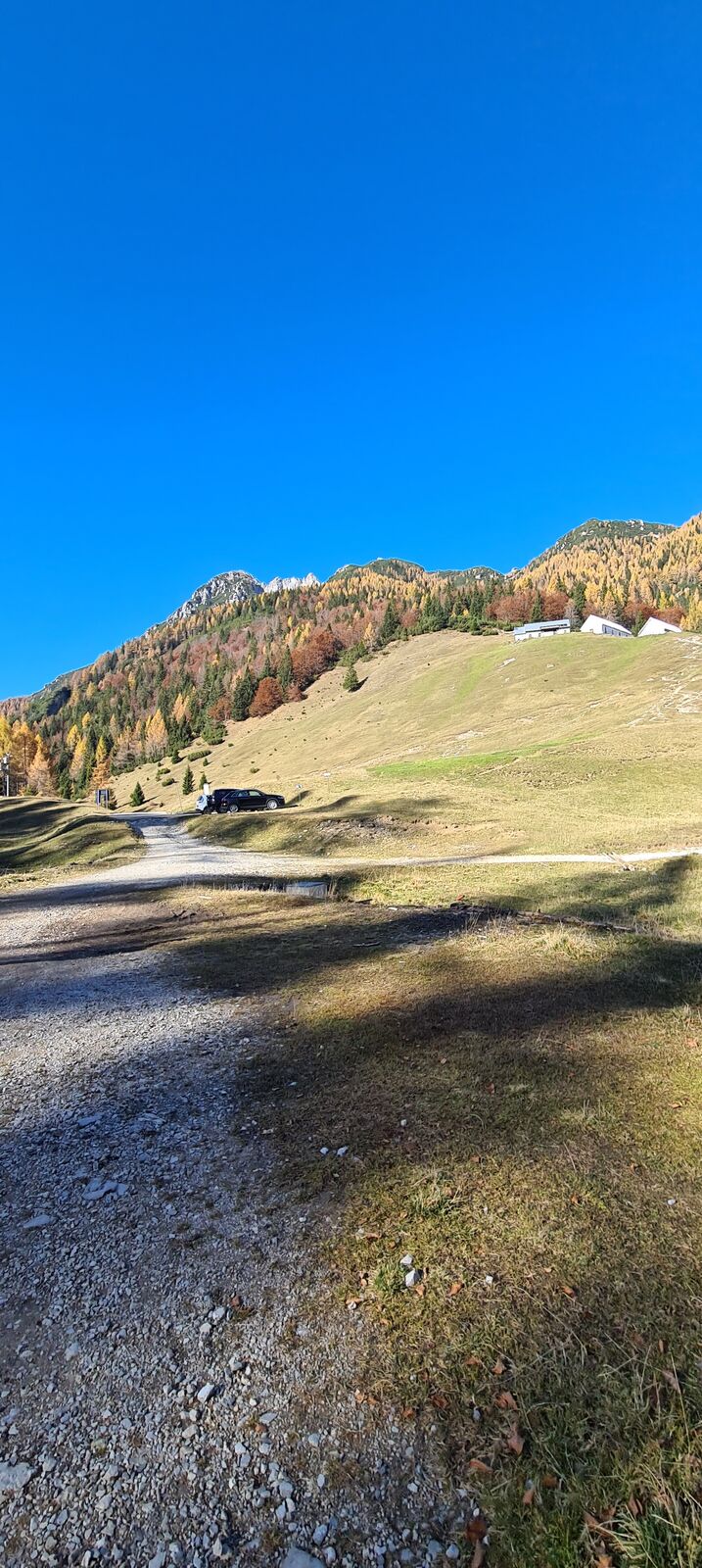
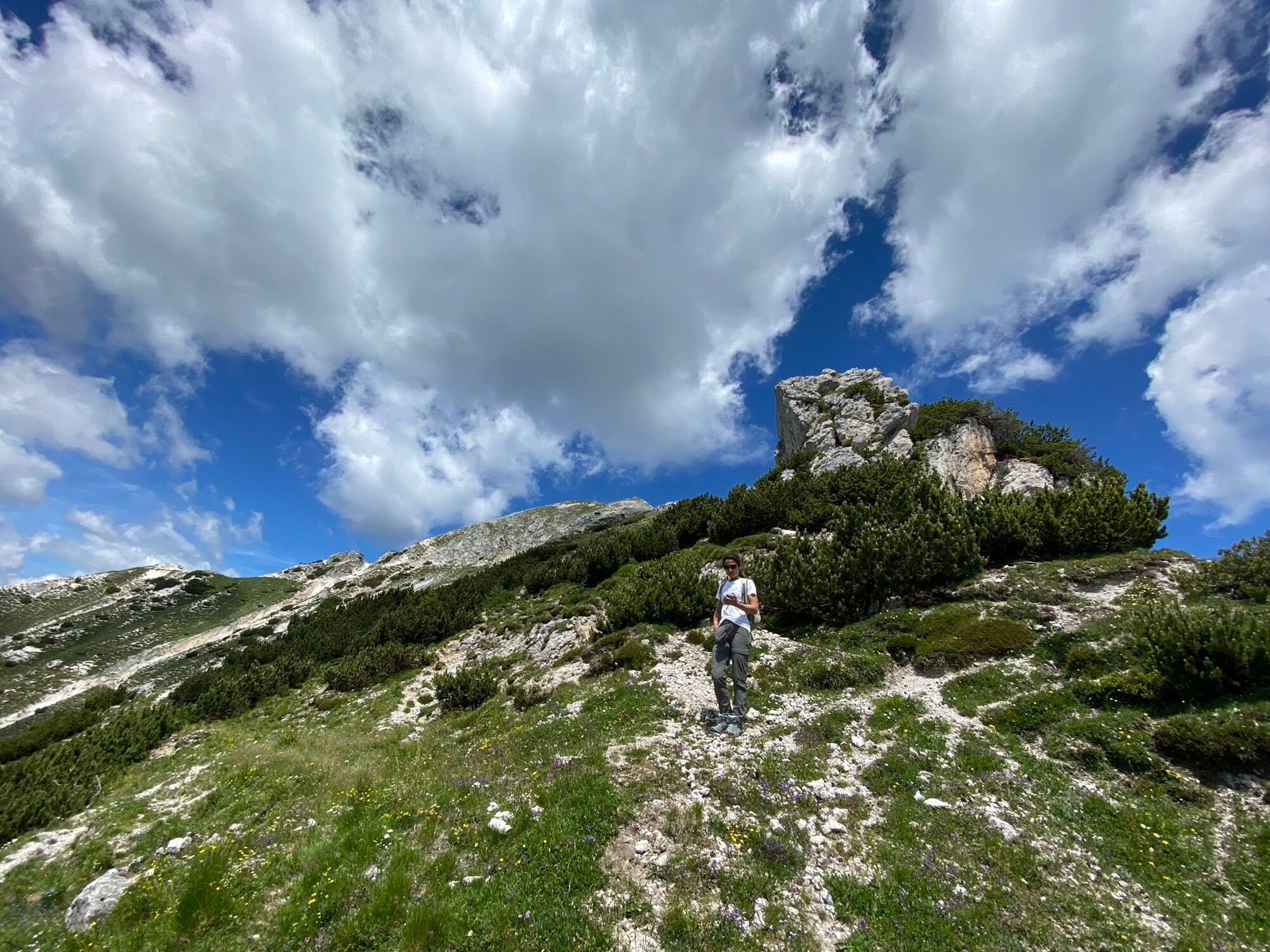
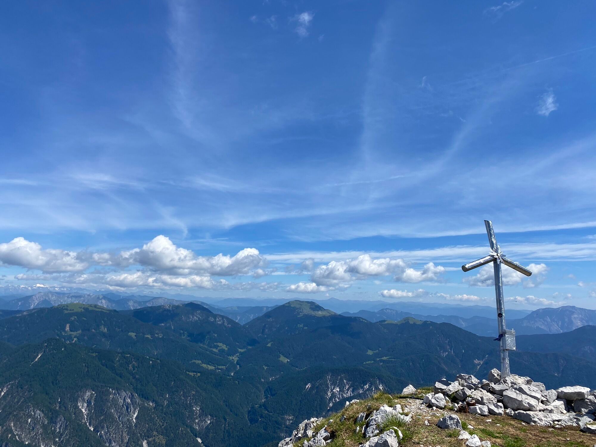
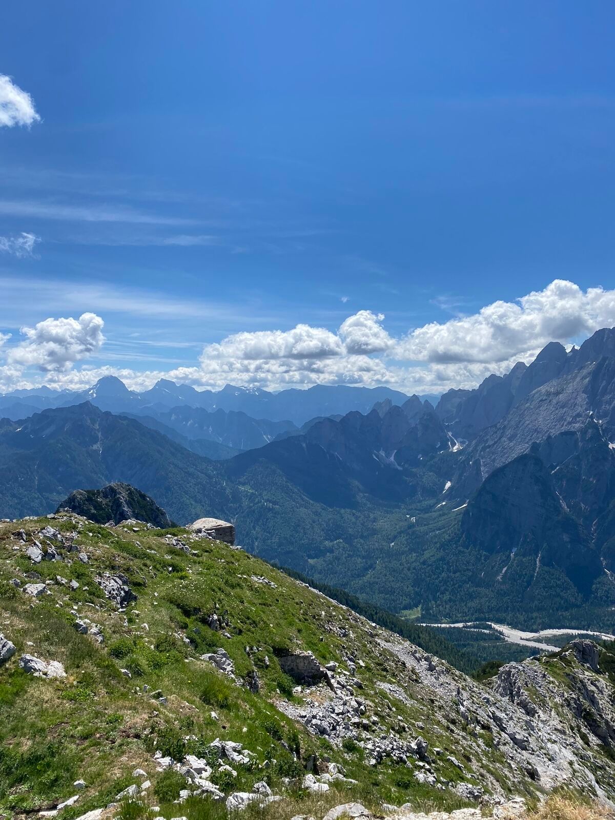
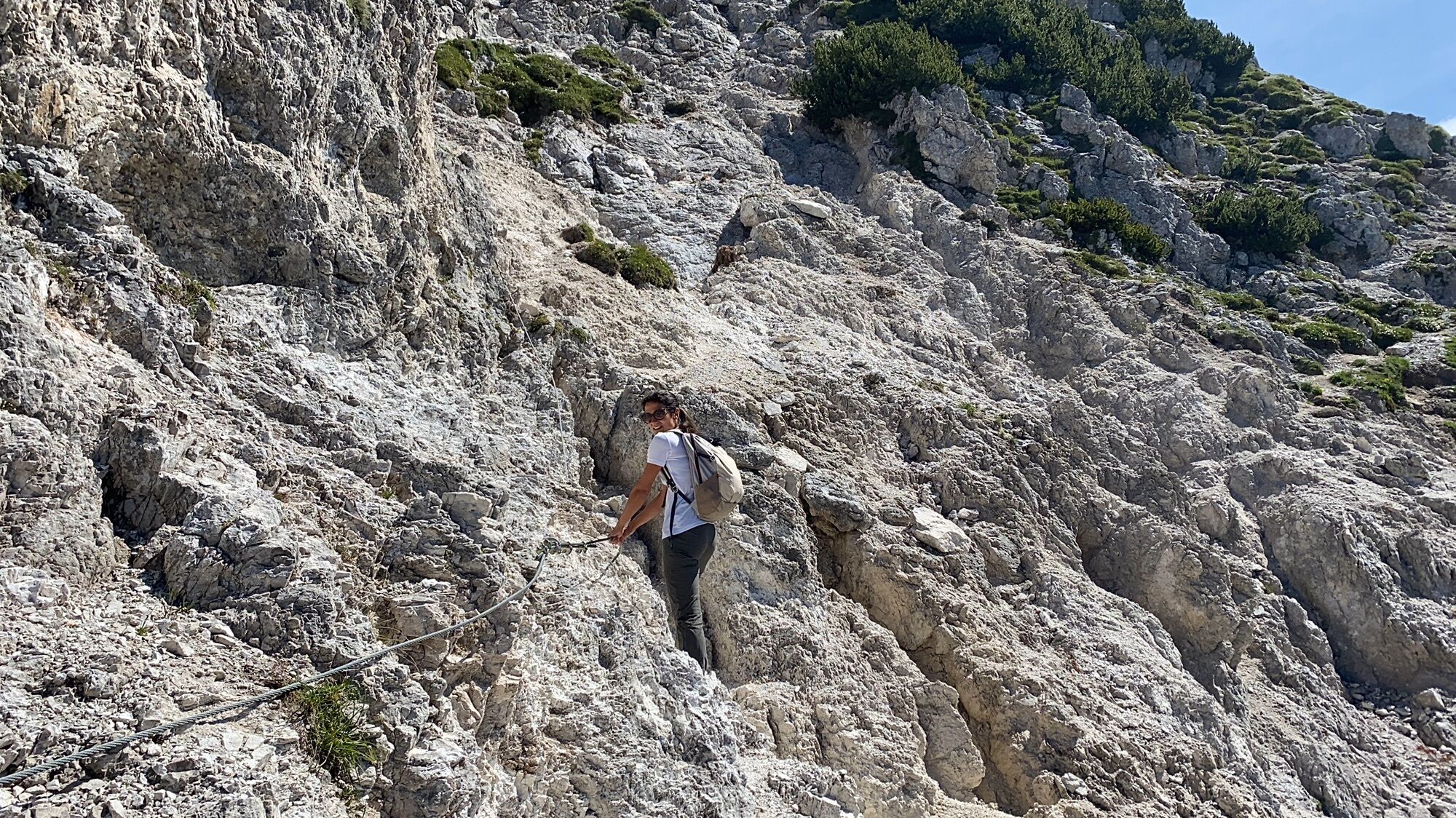
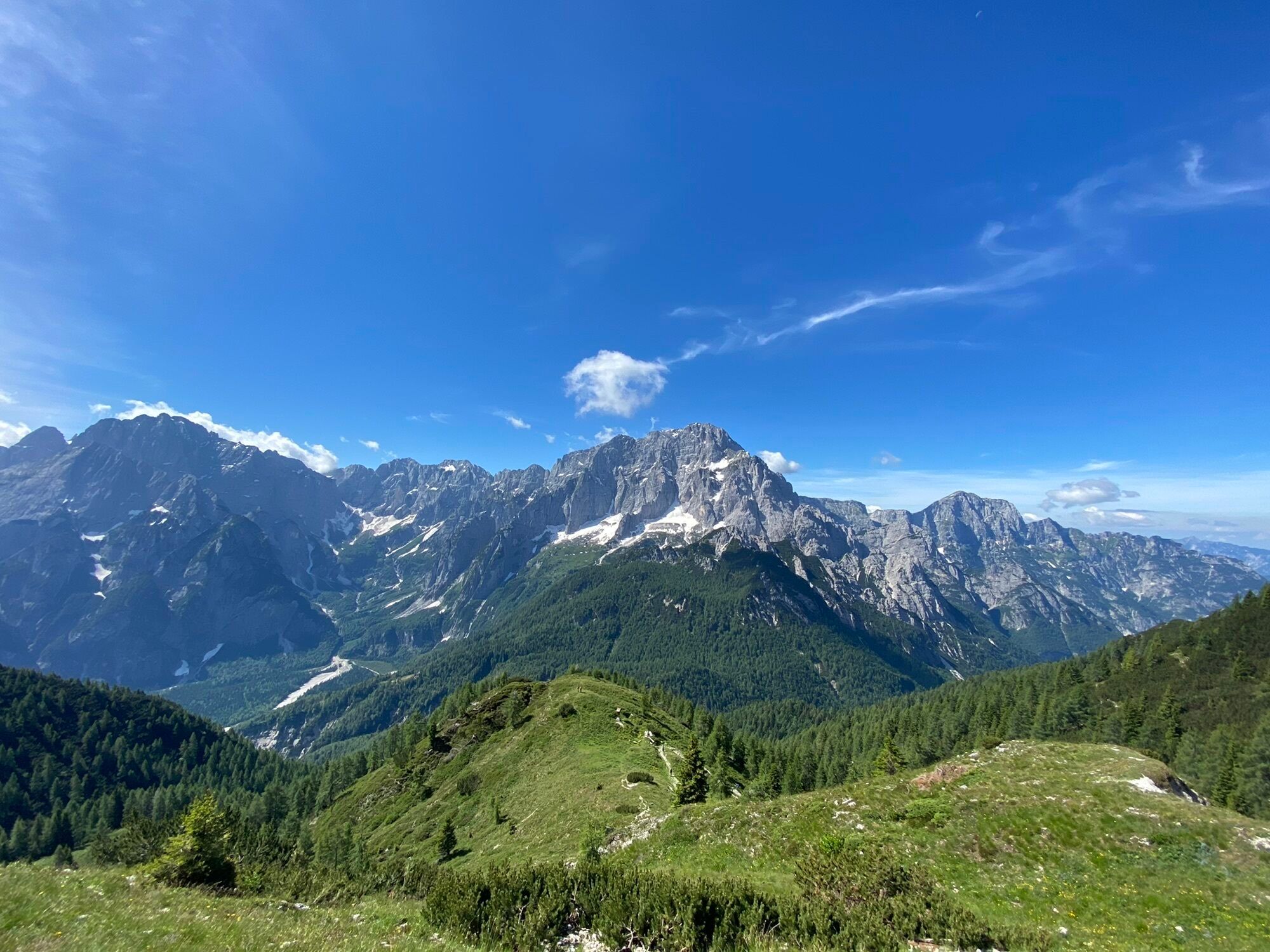
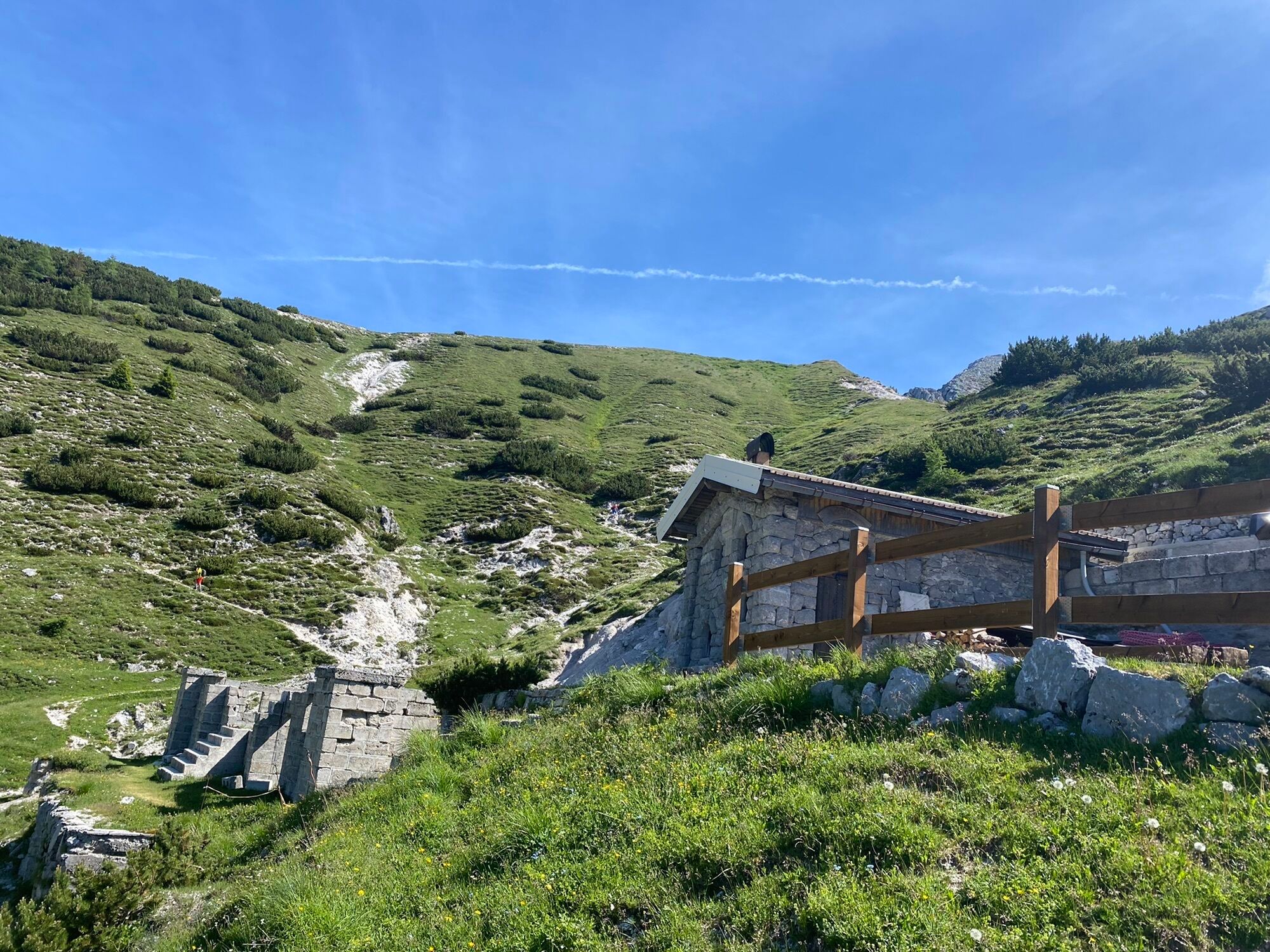
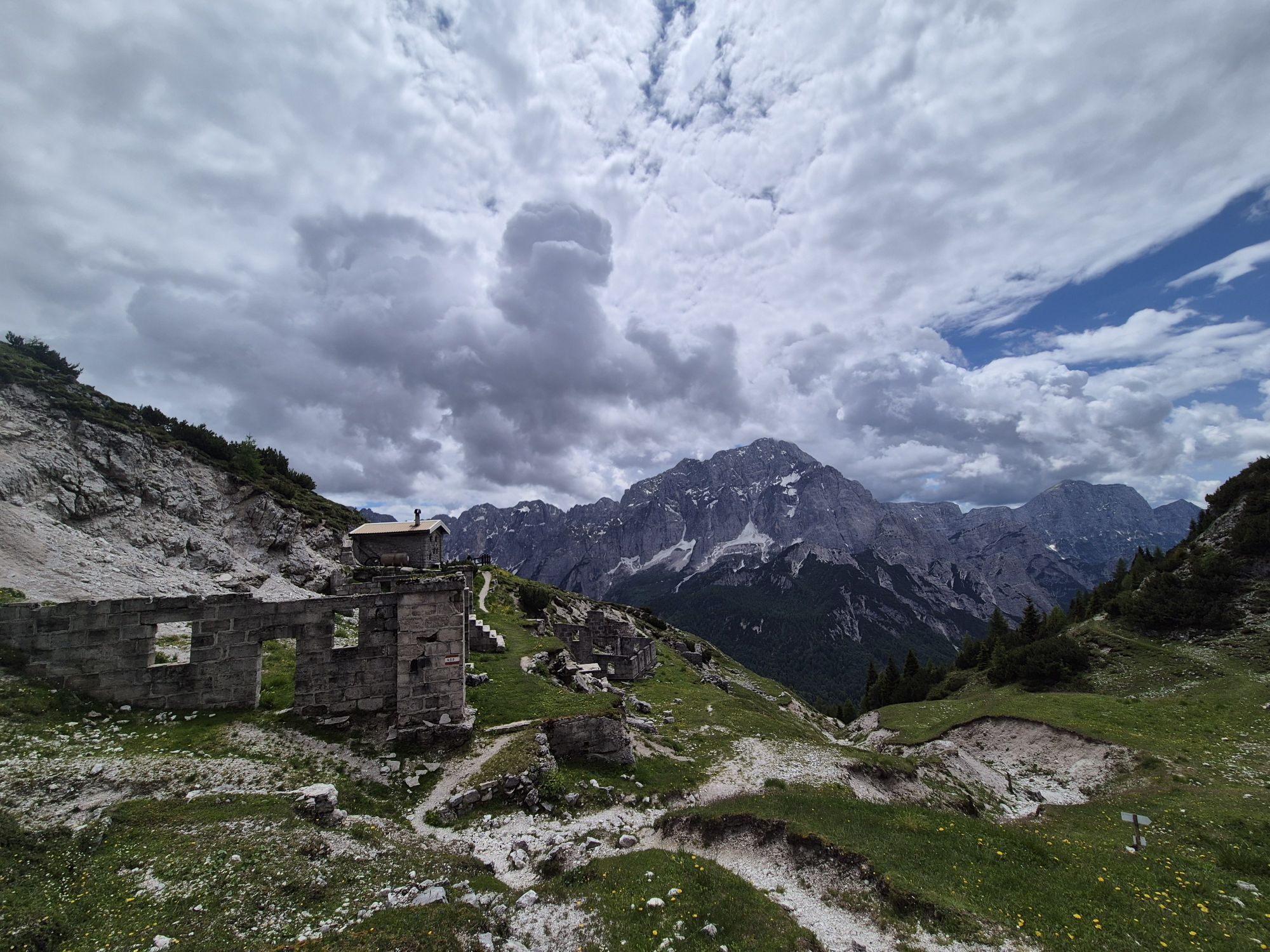
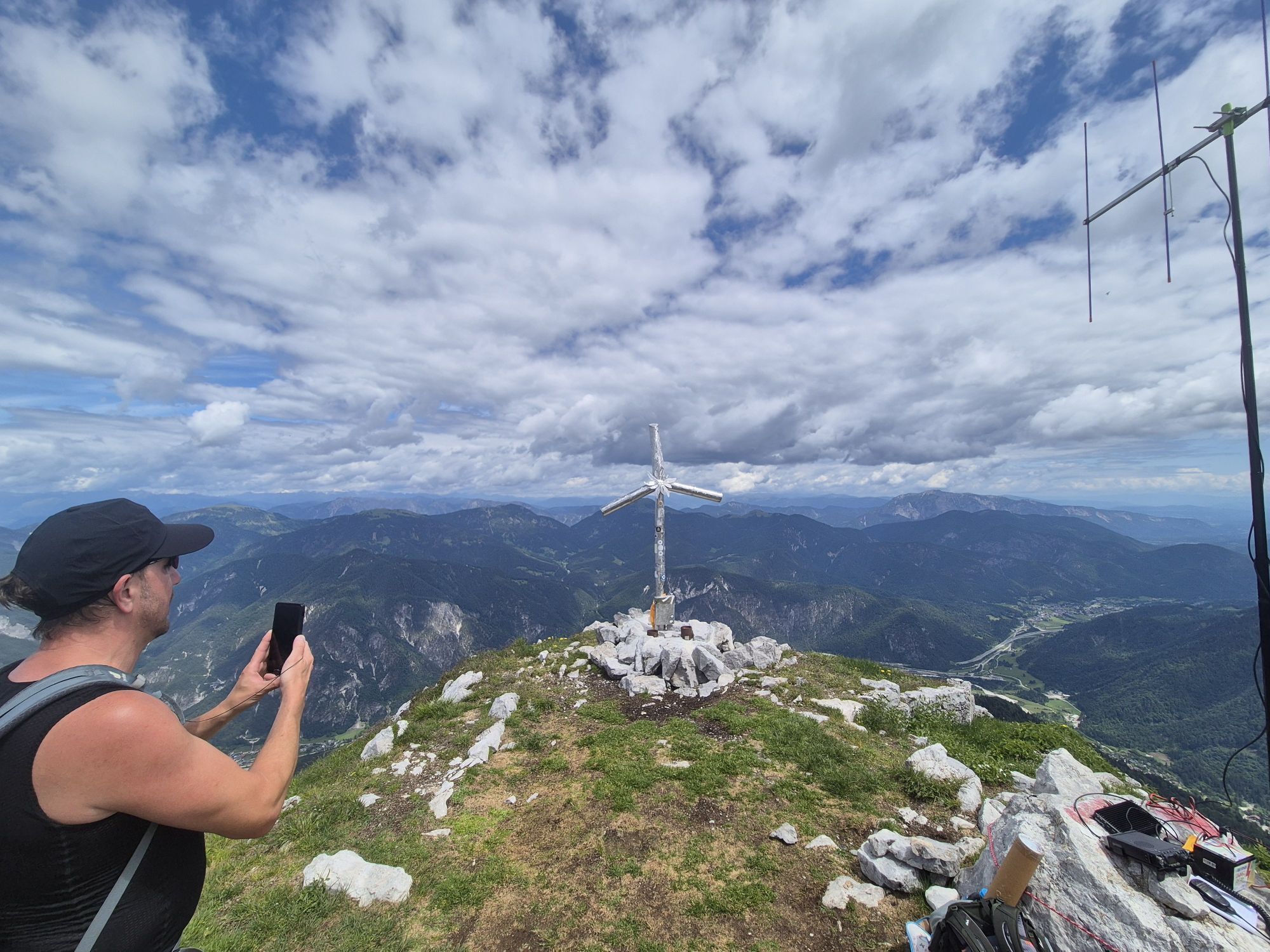
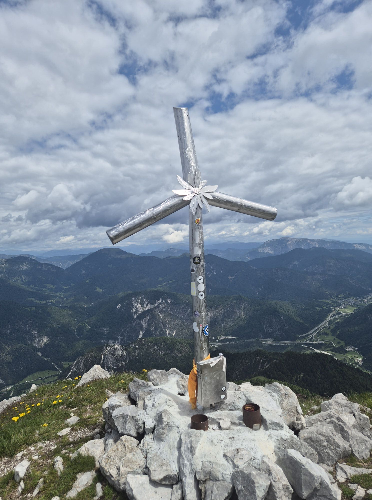
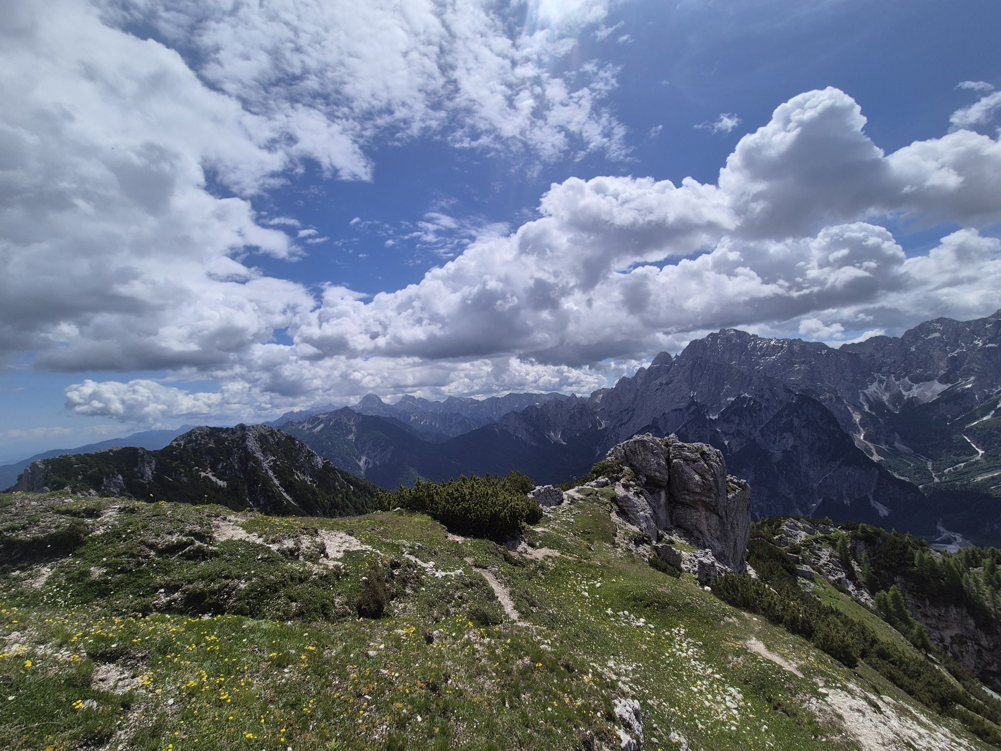
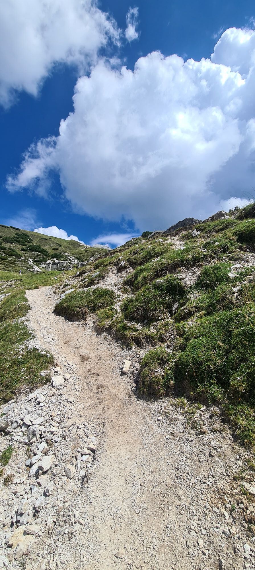
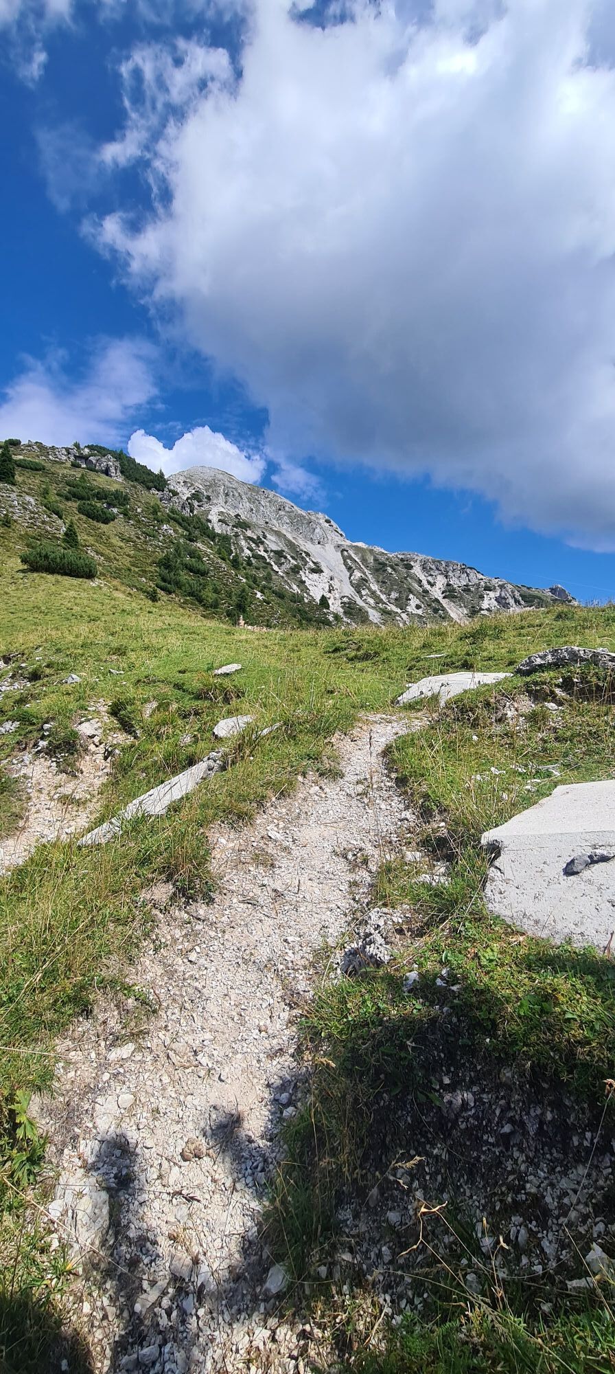
The itinerary that winds across Jôf di Miezegnot (2,087 metres above sea level) offers the opportunity to discover what life was like for soldiers in the mountains during the First World War. Starting...
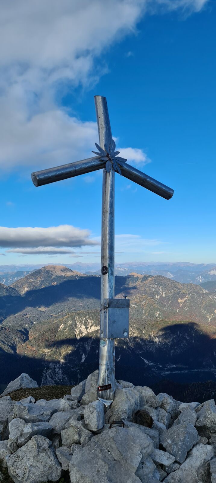
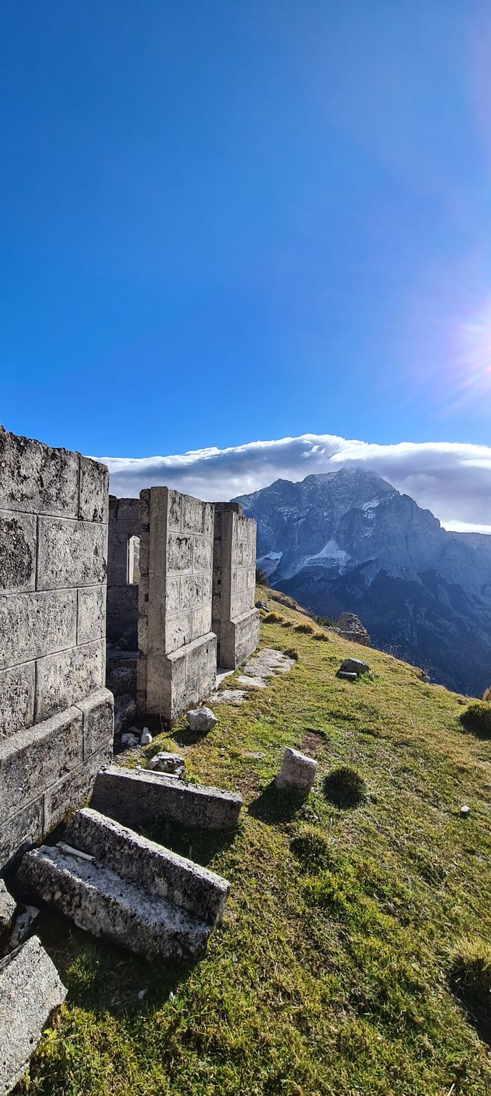
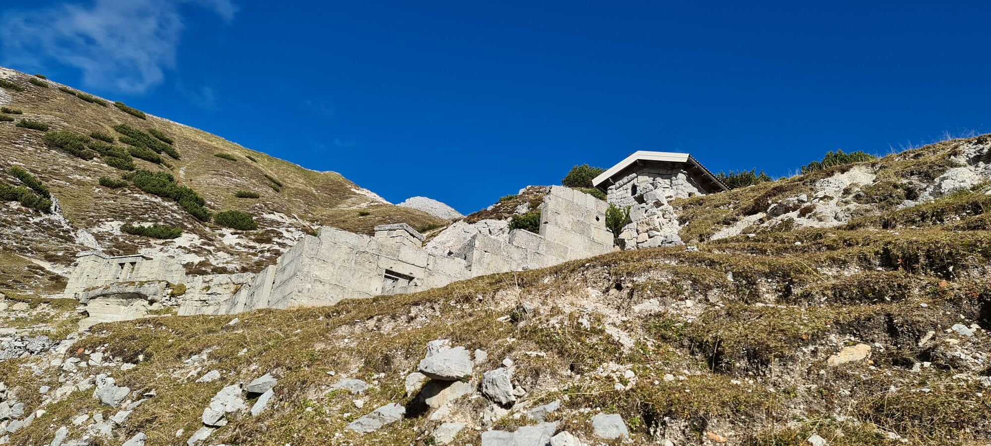
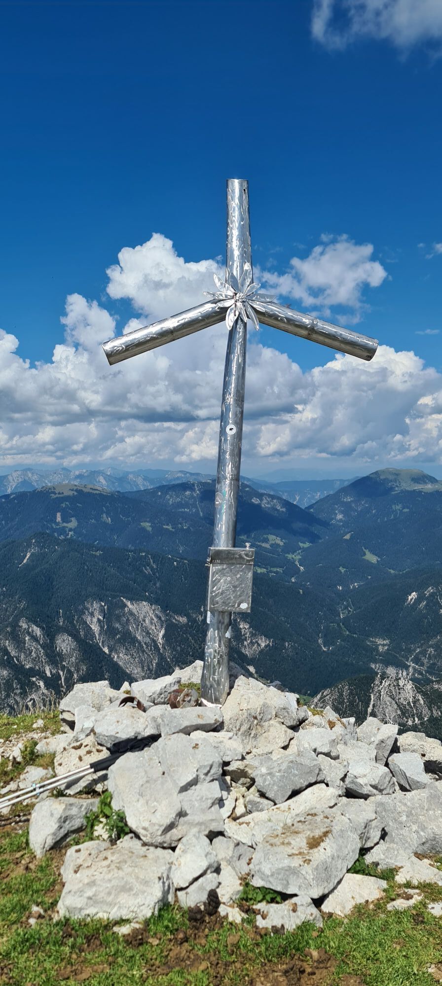
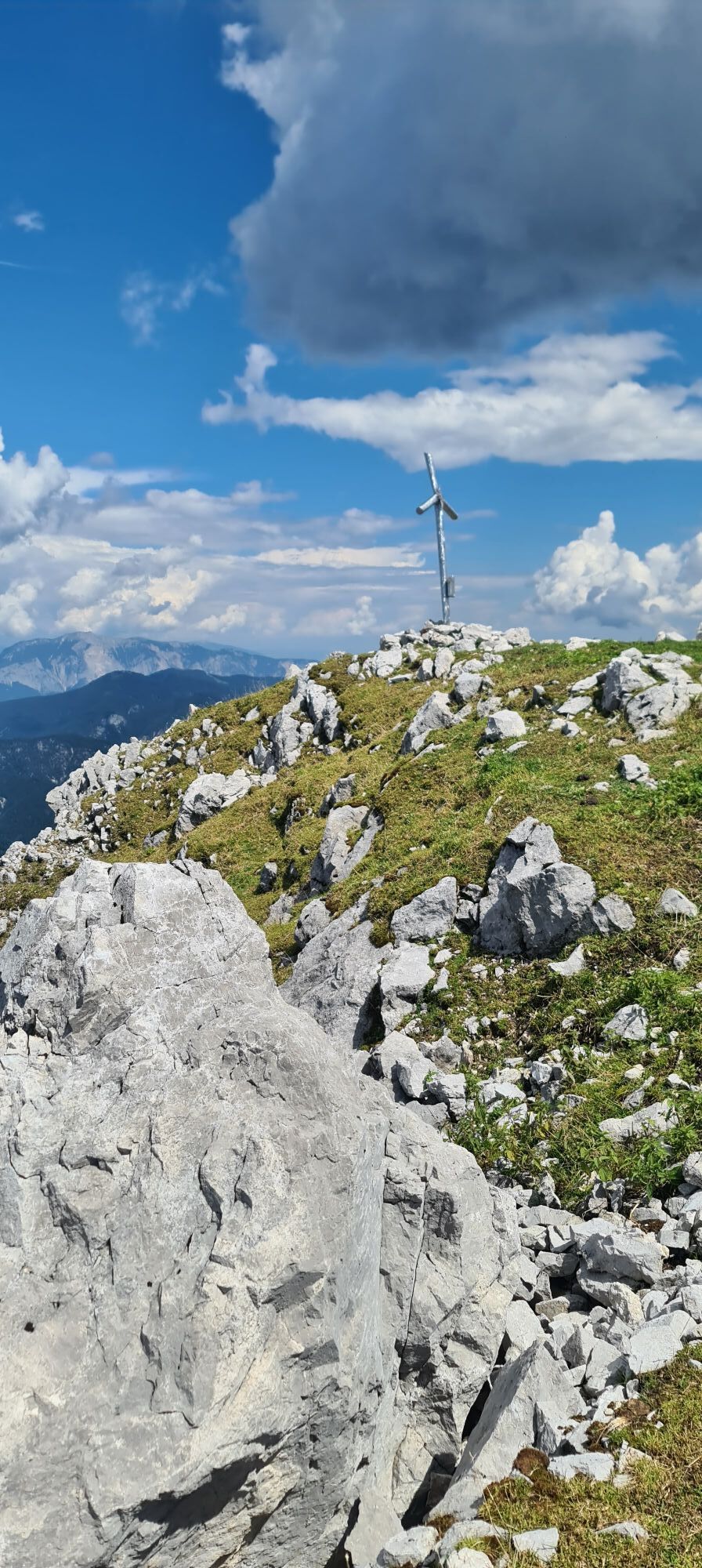
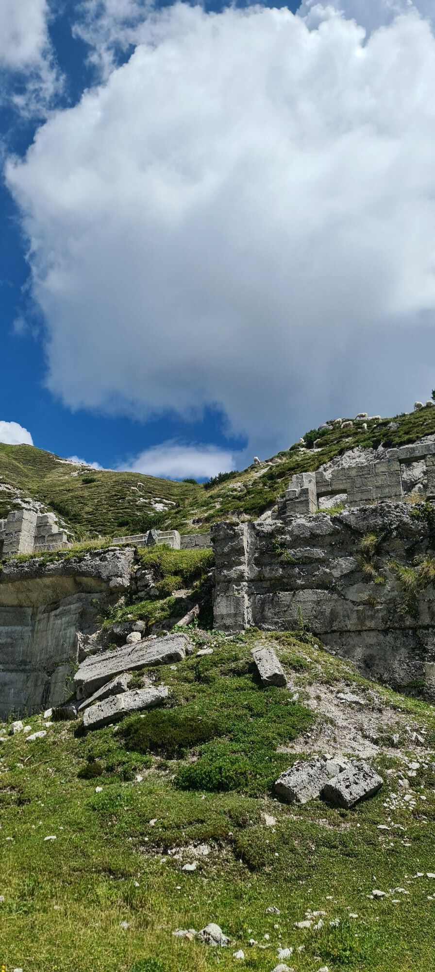
The itinerary that winds across Jôf di Miezegnot (2,087 metres above sea level) offers the opportunity to discover what life was like for soldiers in the mountains during the First World War. Starting from Sella di Somdogna (1,389 metres above sea level), follow CAI trail 609 and, in about an hour, you will reach the area where a war cemetery was established, now marked by memorial plaques and a wooden cross. Nearby, the ruins of the wartime village can still be seen. Continuing along CAI trail 609, you will reach the summit of the mountain by way of rocky sections equipped with steel cables, where remains of positions and observation posts are still visible. From here, you can either retrace your steps or complete the excursion by following CAI trail 606, which crosses the Peceit ridge, where further remains of Italian fortifications can be seen. In this case, you should follow the descent and then rejoin CAI trail 609.

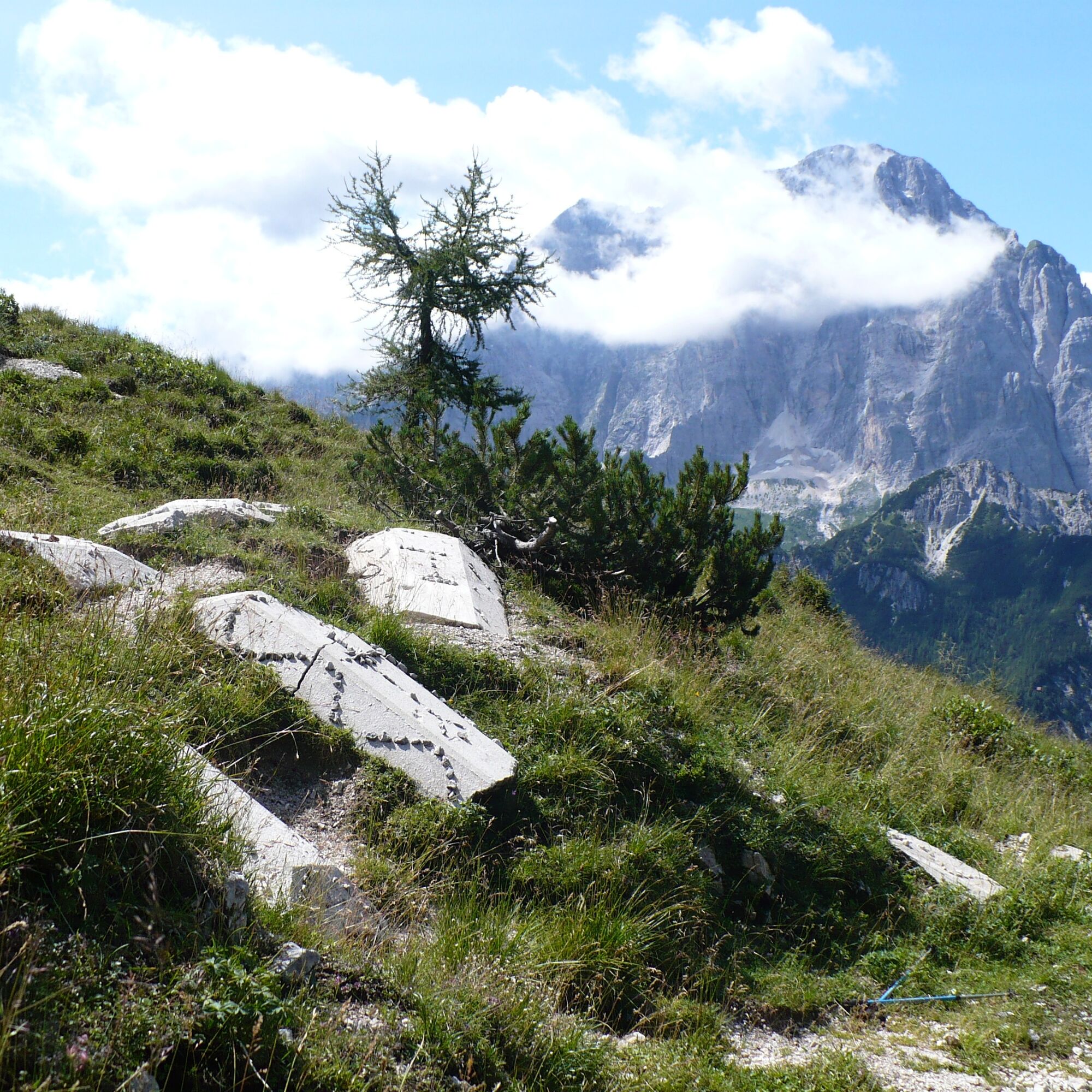
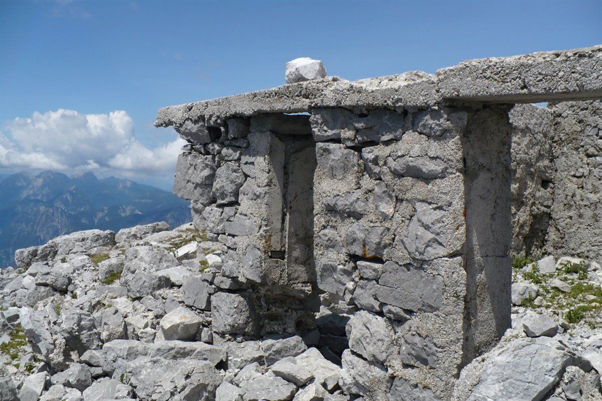
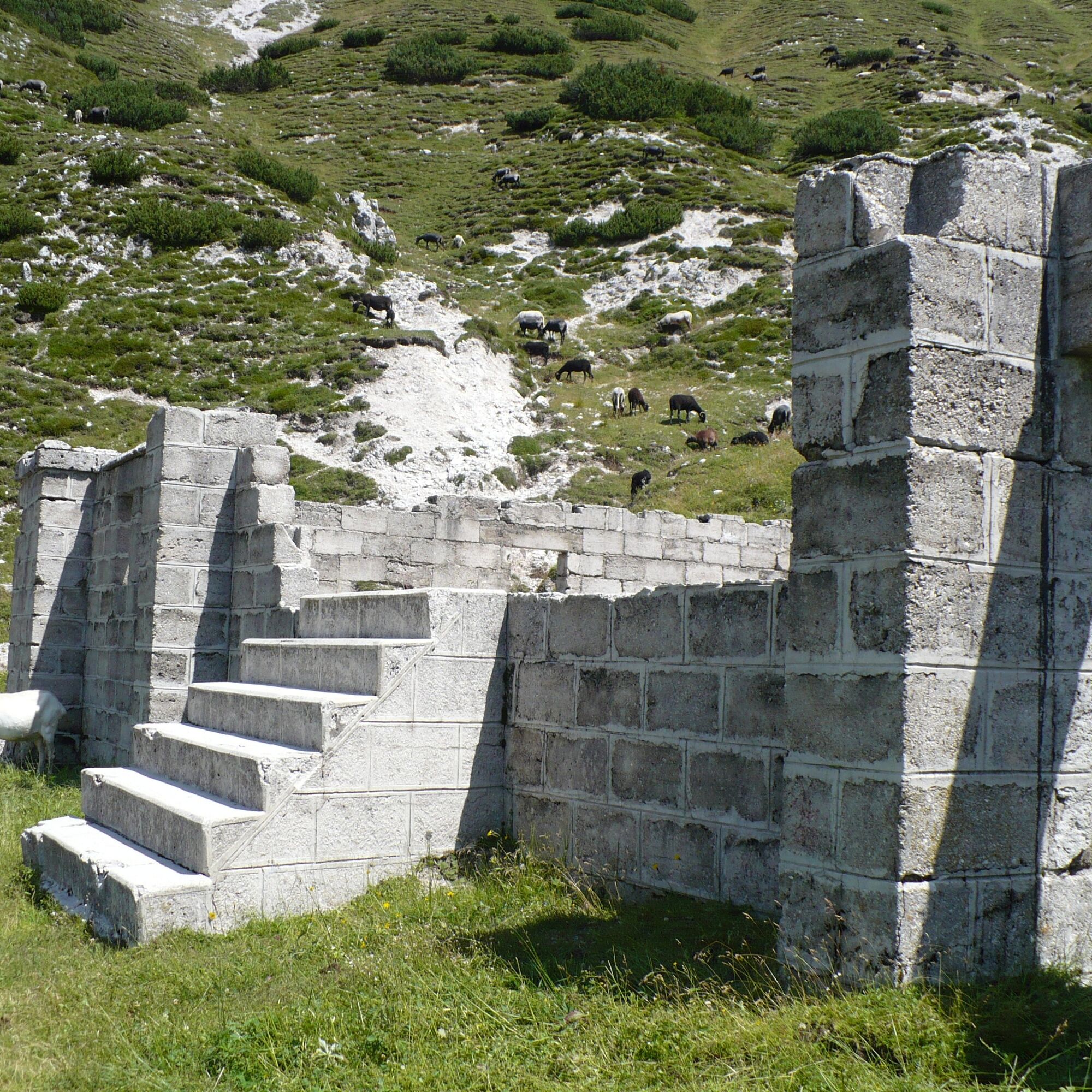
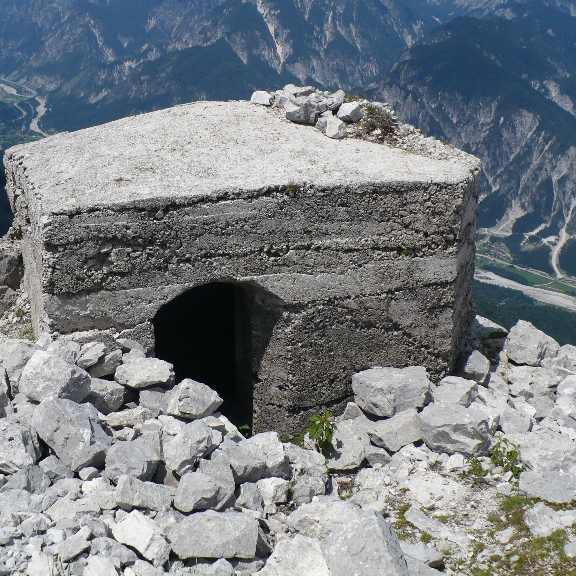

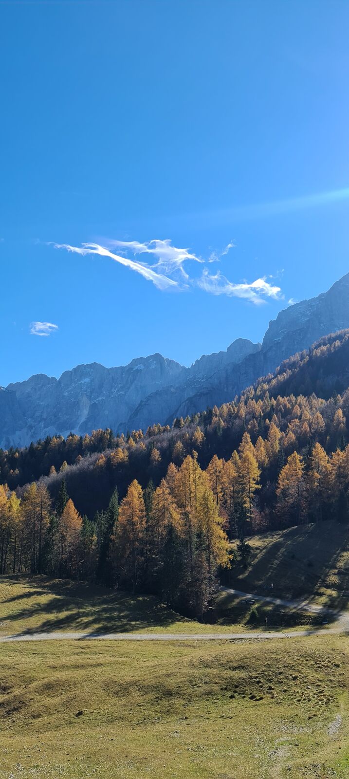
The starting point is Sella di Somdogna, which can be reached by following the entire road through Val Dogna. After parking the car, head to Casera Somdogna and set out along CAI trail 609. The first section runs through woodland, but the mule track is well marked and climbs steadily until it reaches a grassy shoulder where, on the right, several memorial stones from the former war cemetery are still visible. After just a few dozen more metres, you reach the ruins of the wartime village, an extraordinary complex of buildings at an altitude of 1,890 metres. After visiting the site, continue uphill along CAI trail 609 until you reach a gravelly slope near the summit. With due care, continue along this incline, which leads to the top. Here, an iron cross has been placed, and several ruins of buildings, positions and, above all, the remains of observation posts can still be seen. The return can be made along the same route, or along the south-eastern ridge by following CAI trail 607, in order to reach the Peceit ridge, where further remains of Italian fortifications can still be seen. In this latter case, recommended only for experienced hikers, continue descending along a mule track that once linked these positions to the ridge, until the point where the trail moves onto the northern slope of the summit. Instead of continuing towards Piccolo Miezegnot, a clearly visible track on the right leads back to the basin where the wartime village stands, from where you must retrace the same route taken on the ascent.
Ano
Ano
An adequate supply of water and food, suitable sportswear, proper mountain footwear, trekking poles, and a light source for visiting the caves are recommended.
Check the weather forecast. Pay particular attention during the ascent along the mountain’s south-west ridge, which includes exposed and equipped sections (steel cables) on rocky and loose ground.
Take the Pontebba exit from the A23 motorway and continue along State Road SS13 towards Tolmezzo–Udine as far as Dogna. Turn right to enter the village and follow the signs for Val Dogna, continuing along the former military road until it ends at Sella di Somdogna.
Car parking available near Sella di Somdogna.
T3

Oblíbené prohlídky v okolí
-
4.8
Tarvisio - Venzone (C101)
středníCyklistika na velkou vzdálenost 64.7 km -
4.9
Orrido dello Slizza, Tarvisio, Italië
světloTuristika 2.65 km -
4.5
Monte Lussari
středníLyžařská trasa 10.7 km -
4.5
Monte Lussari über den alten Pilgerweg
středníTuristika 6.43 km -
4.4
Cima di Terra Rossa
Turistika 4.90 km -
4.2
Monte Santo di Lussari, Skitour, Pilgerweg
středníLyžařská trasa 9.35 km -
4.1
Jof di Miezegnot 2087m (Malborgether Mittagskofel)
Turistika 9.90 km -
4.3
Malurch Nassfeld
středníTuristika 9.60 km -
5.0
Drei Gipfel des Monte Nebria
středníTuristika 7.72 km -
4.5
Cacciatore
světloLyžařská trasa 10.8 km
Pěší turistika a stopování


Nenechte si ujít nabídky a inspiraci pro vaši příští dovolenou
Vaše e-mailová adresa byl přidán do poštovního seznamu.





