



Balade Verte - La vallée de la Vaivre (B 2)

Úroveň obtížnosti: T2
Beaubery, a small village in the south-east of the Charolais communauté de commune, has a population of 384 and covers an area of 2,200 hectares. With its 5 different walks, Beaubery will reveal its undulating...
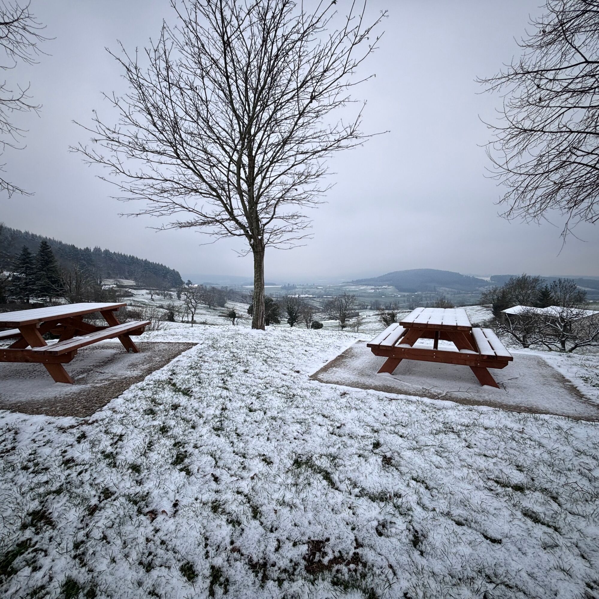
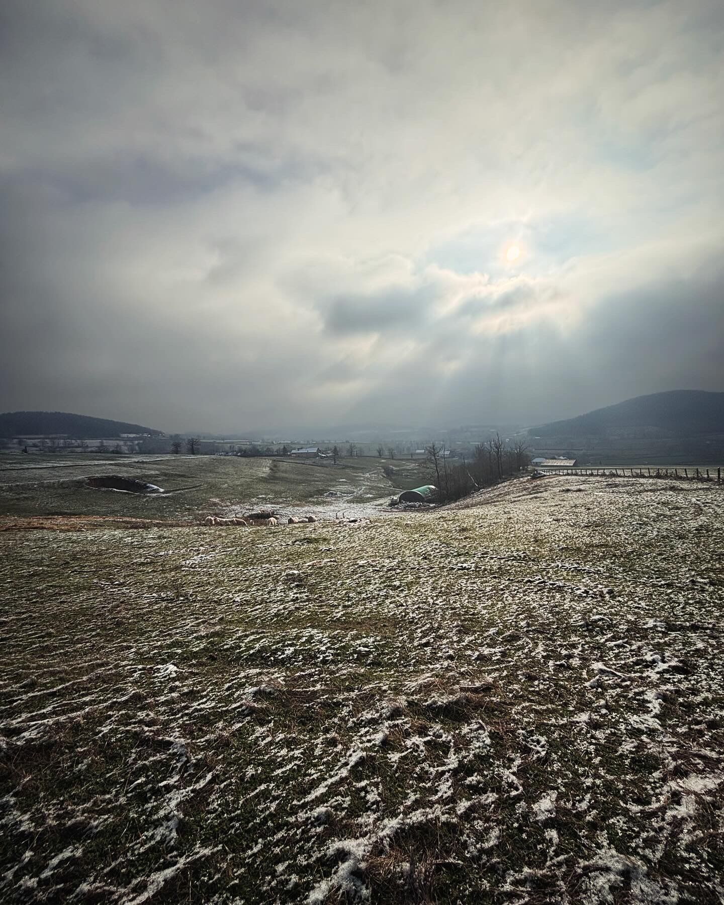
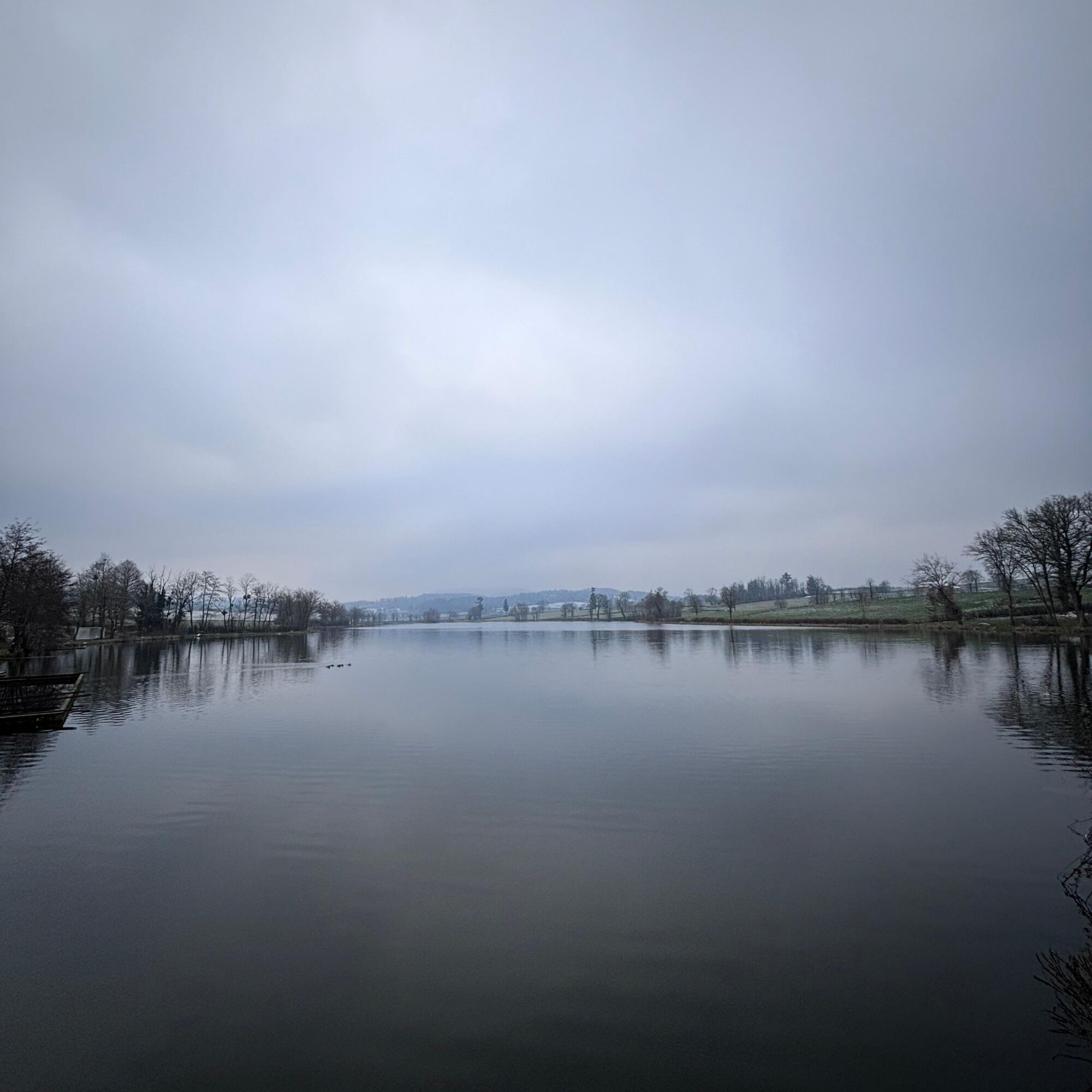
Beaubery, a small village in the south-east of the Charolais communauté de commune, has a population of 384 and covers an area of 2,200 hectares. With its 5 different walks, Beaubery will reveal its undulating relief with five wooded hills and several streams and ponds. You can also discover the highest point in the commune, Mont Botey at 561 m. The Cornes d'Artus, with the ruins of a fortified castle dating from the twelfth century, are perched at the top of the hill.


In case of emergency, dial 112
Consider carpooling
Scegliete il treno per i vostri viaggi
Parking near the starting point
T2
Oblíbené prohlídky v okolí
-
CycloRoute71 - Etape 11 de La Clayette à Cluny
středníJízda na kole 56.8 km -
La balade des rhododendrons
světloJízda na koni 6.60 km -
Circuit des digitales
středníTuristika 13.6 km -
Sentier botanique
světloJízda na koni 5.76 km -
Flore et Faune en Bord de Lac
středníTuristika 3.30 km -
Balade en Bocage
středníTuristika 12.0 km -
Sentier thématique - Chemin du bocage et des fours à chaux
světloJízda na koni 7.39 km -
M3 Mountain Bike Tour from Aigueperse to Matour
světloMountainbike 13.9 km -
Paray-le-Monial : circuit n°9 - Campagne charolaise jusqu'à la maison natale de Marguerite Marie
středníJízda na kole 70.5 km -
Circuit des Moulins
středníTuristika 7.86 km
Pěší turistika a stopování


Nenechte si ujít nabídky a inspiraci pro vaši příští dovolenou
Vaše e-mailová adresa byl přidán do poštovního seznamu.


