






Circuit de la Galette
Bruailles is just a few kilometres from Louhans. Two rivers meander through the commune, flowing between floodplains and bocage plains: the Vallière and the Solnan. The lake is ideal for fishing. Picnic...
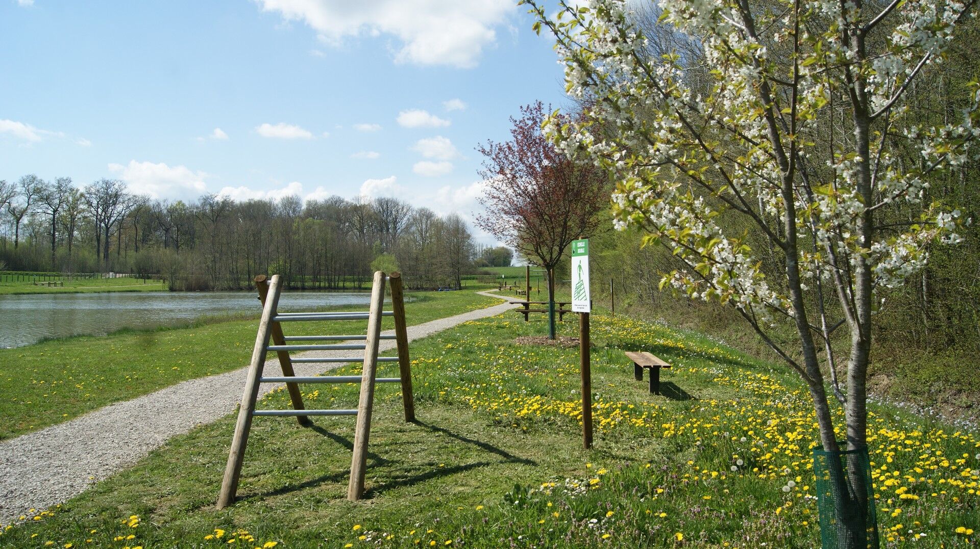
Bruailles is just a few kilometres from Louhans. Two rivers meander through the commune, flowing between floodplains and bocage plains: the Vallière and the Solnan. The lake is ideal for fishing. Picnic tables are available for you to enjoy.
The trail is accessible to all, and is fun enough for children with the explanatory tables showing the environments crossed.

Ano
In case of emergency, dial 112
Consider carpooling
Parking near the starting point
Oblíbené prohlídky v okolí
-
La Voie Bressane
světloJízda na kole 69.2 km -
Sur les petites routes de Bresse
světloJízda na kole 23.5 km -
En passant par les Casses
středníJízda na koni 9.65 km -
Bram - L'Écluse - Le Chapon Bressan - Église Saint-Pierre
světloŠotolinové kolo 19.2 km -
Restaurant de la Gare - La Cigale et le Fournil - Le Safran - Chez Béa - Les Burgers Gourmands
středníSilniční kolo 34.6 km -
La Replonge - Hostellerie Bressane - Église Saint-Eusèbe - Église Saint-Christophe
středníSilniční kolo 47.7 km -
Louhans - Église Saint-Remy - L'Écluse
středníTuristika 12.2 km -
Montagny-près-Louhans - Les Vessières - Église Saint-Étienne - Le Rustique
světloTuristika 8.13 km -
Église Saint-Thomas-de-Canterbury - Restaurant de Bourgogne - Chevreaux - Cuiseaux
světloTuristika 6.46 km -
Montret - Le Bourg - Église Saint-Pierre - Louhans
středníŠotolinové kolo 36.3 km

Pěší turistika a stopování


Nenechte si ujít nabídky a inspiraci pro vaši příští dovolenou
Vaše e-mailová adresa byl přidán do poštovního seznamu.





