







Belvédère de la Roche d'Aujoux

Úroveň obtížnosti: T3
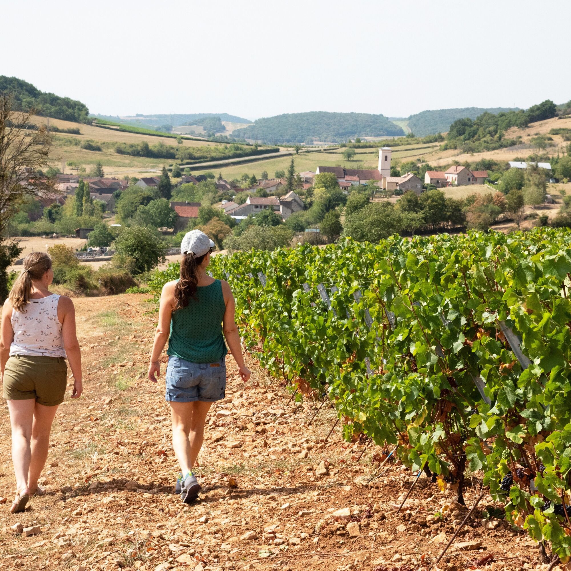
At the start, discover a magnificent vineyard on the hillside. Go up through the woods of La Pérouse and the Verneuse forest towards the Col du Navois (450 m).Take the Chemin de Moines GR76, a mythical...
At the start, discover a magnificent vineyard on the hillside. Go up through the woods of La Pérouse and the Verneuse forest towards the Col du Navois (450 m).
Take the Chemin de Moines GR76, a mythical ridge path linking Sennecey to Cluny, which will take you to the belvedere of the Roche d'Aujoux, with its magnificent view of the Grosne valley and the Chalonnaise coast in the distance. Return to the village of Mancey.

Ano
In case of emergency, dial 112.
Consider carpooling
Parking close to the starting point
T3
Oblíbené prohlídky v okolí
-
Au fil de l'eau de Louhans à Mâcon
světloKajak / Kánoe 73.4 km -
Le chemin des Moines
středníTuristika 35.0 km -
CycloRoute71 - Etape 2 de Cormatin à Tournus
středníJízda na kole 31.1 km -
Sur l'Ormeau - La Grand Croix
středníJízda na koni 12.1 km -
La Boucherette
světloTuristika 3.37 km -
Boucle 10 bis : Boucle des églises romanes
středníJízda na kole 35.8 km -
De Villages en Hameaux
středníTuristika 9.36 km -
Autour de Brancion
středníTuristika 11.1 km -
Du Chemin des Moines à la colline de Saint-Martin
středníTuristika 13.0 km -
Au fil des moulins et panorama de la Garenne
světloTuristika 5.52 km
Pěší turistika a stopování


Nenechte si ujít nabídky a inspiraci pro vaši příští dovolenou
Vaše e-mailová adresa byl přidán do poštovního seznamu.





