







Entre vignes et bocages
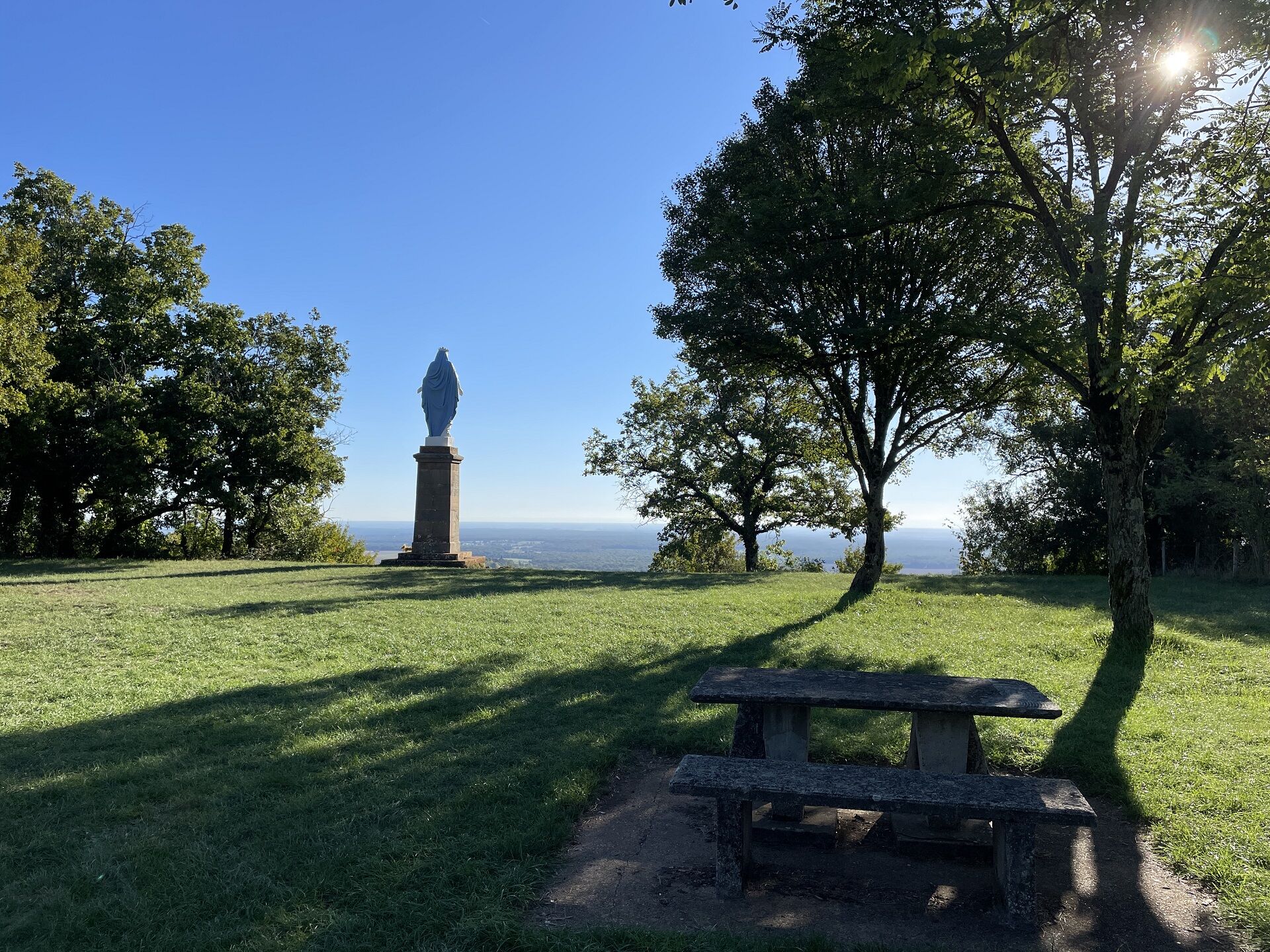
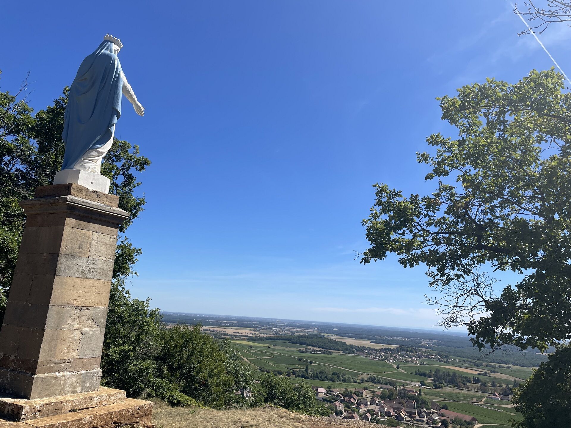
1 - From the car park, leave the statue of the Virgin on the left > viewpoint and take the gravel path to the south towards Lacassine.2 - At the "Lacassine" sign, take the path on the right [ > calcareous...
1 - From the car park, leave the statue of the Virgin on the left > viewpoint and take the gravel path to the south towards Lacassine.
2 - At the "Lacassine" sign, take the path on the right > calcareous lawns. At the fork, continue to the right.
3 - At the Coutres cross, take the path on the right. At first wide, it narrows. Go past the cadole built near the dry stone wall on the left and cross the wood. Leave the path on the right and continue straight ahead towards a collet.
4 - At the "Ministre", take the track on the right for 20 m then, at the sign "Les pelouses de Montagny- lès- Buxy", the track on the left. Continue on the narrow grassy track, leaving a path on the right and then on the left.
Go straight down to the edge of the wood.
5 - Go up by the track on the right. Pass the fence and go straight on.
6 - At the crossroads, take the road to the right for 30 m and fork right.
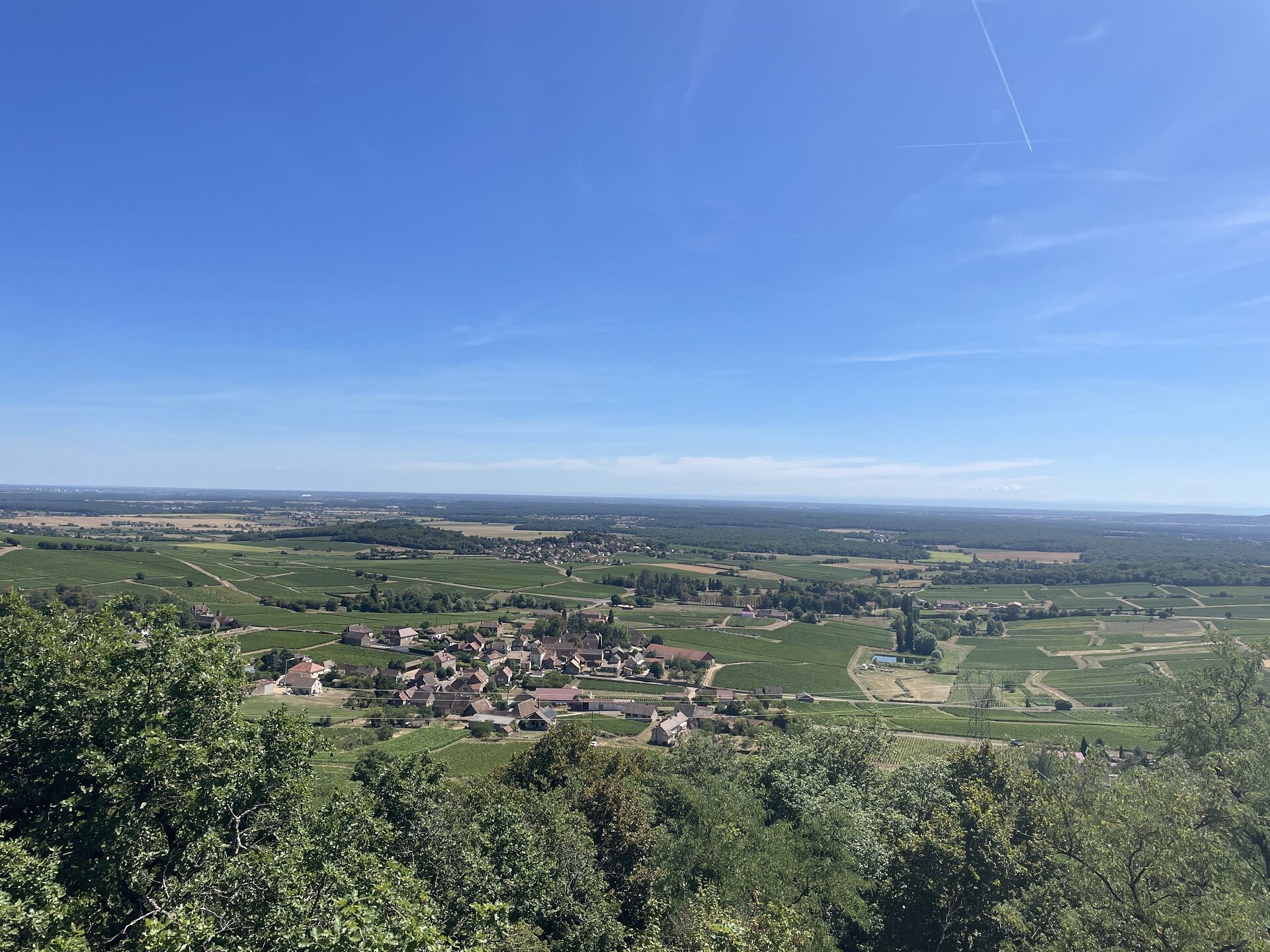
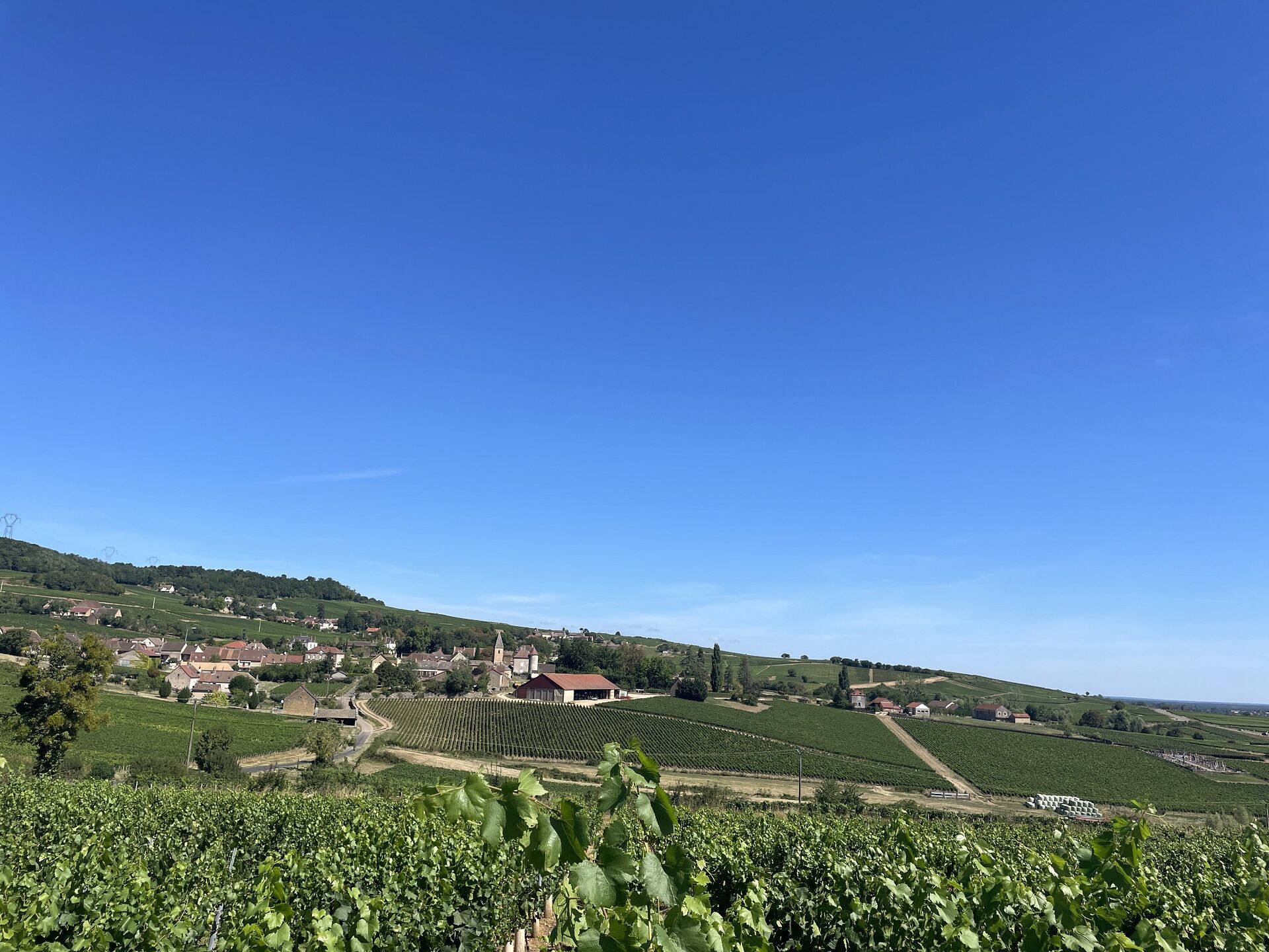
Go past the sheds and reach a picnic area > view on the vineyard, information table on the Climats de Montagny-lès-Buxy.
7 - At the Saint-Morille cross, take the path on the right and continue for 1.4 km. At the sign "La Roche", cross the road and continue on the gravel path that leads back to the starting point.

In case of emergency, dial 112
Consider carpooling
Parking near the starting point
Oblíbené prohlídky v okolí
-
Boucle 6 : Boucle de la pléiade
světloJízda na kole 28.5 km -
Boucle 5 : De la pierre à la vigne
středníJízda na kole 25.9 km -
Au coeur de la Guye
středníJízda na koni 13.6 km -
Sur l'Ormeau - La Grand Croix
středníJízda na koni 12.1 km -
Mer de Pierres
středníTuristika 5.77 km -
Au levant
středníTuristika 13.2 km -
Jambles : d'un versant à l'autre
středníTuristika 12.7 km -
Balade verte à Poncey vignes, clos et cadoles
středníTuristika 8.59 km -
Les Chemins de Saint-Jacques de Compostelle de Remigny à Cluny
světloTuristika 71.2 km -
La Véloroute de Montchanin à Saint-Boil
světloJízda na kole 35.0 km
Pěší turistika a stopování


Nenechte si ujít nabídky a inspiraci pro vaši příští dovolenou
Vaše e-mailová adresa byl přidán do poštovního seznamu.





