







La Crête Nord du Chemin des Moines

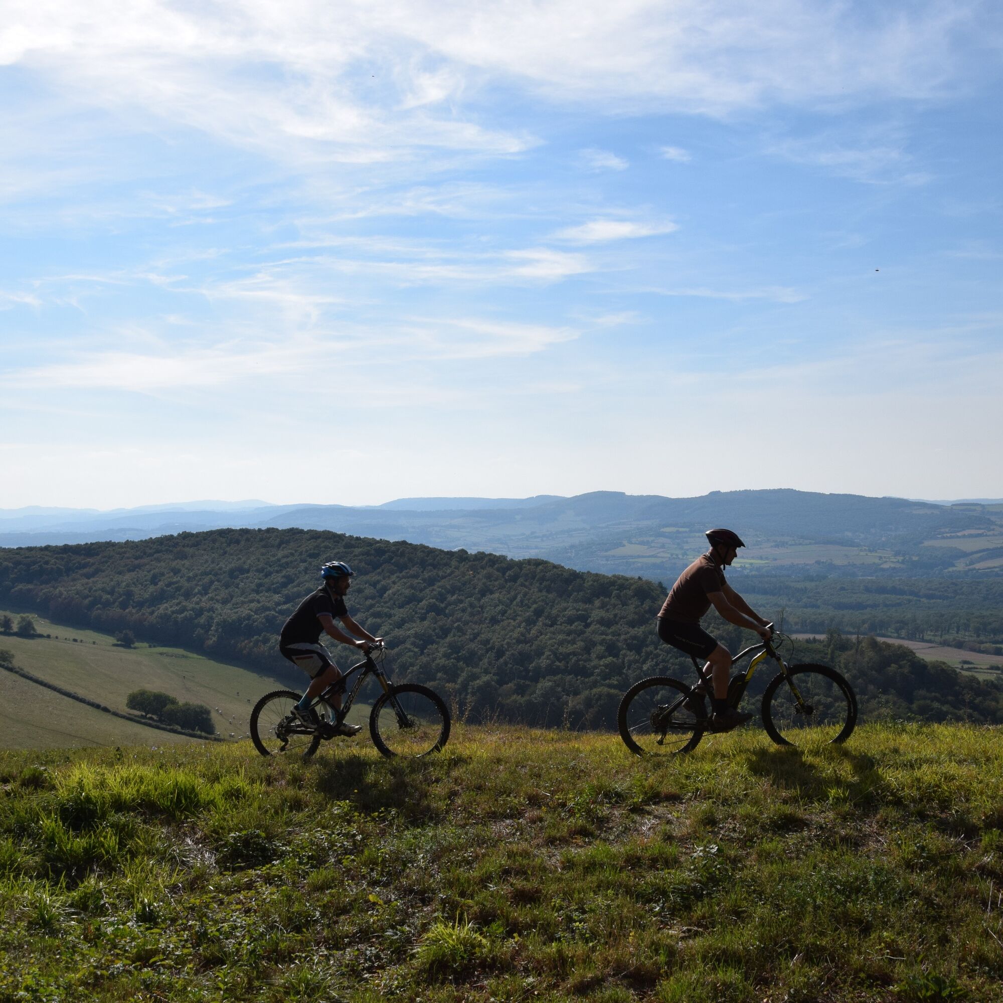
From the park of Ruffey, it's off for a demanding course for the ascent of the Chemin des Moines passing by the pass of Navois: direction Brancion and its medieval castle of the XIIth century, a descent...
From the park of Ruffey, it's off for a demanding course for the ascent of the Chemin des Moines passing by the pass of Navois: direction Brancion and its medieval castle of the XIIth century, a descent with a point of view on the valley of the Grosne to arrive at the hamlet of Balleure, fountains, wash houses and its castle of the XIVth century.
Head for the hamlet of Corlay, a Mecca of the Resistance-Martin and admire the recently restored Romanesque church. Take advantage of the viewpoint over the Saône and Grosne valleys.

In case of emergency, dial 112
Consider carpooling
Scegliete il trasporto pubblico per i vostri spostamenti
Parking near the starting point
Oblíbené prohlídky v okolí
-
Au fil de l'eau de Louhans à Mâcon
světloKajak / Kánoe 73.4 km -
Le chemin des Moines
středníTuristika 35.0 km -
CycloRoute71 - Etape 2 de Cormatin à Tournus
středníJízda na kole 31.1 km -
Le Marais de Massilly
světloTuristika 0.20 km -
Boucle "Vélo & Fromages"
světloJízda na kole 322.2 km -
Du toit des grottes à la Mouge
světloTuristika 1.25 km -
La Boucherette
světloTuristika 3.37 km -
Boucle 10 bis : Boucle des églises romanes
středníJízda na kole 35.8 km -
De Villages en Hameaux
středníTuristika 9.36 km -
Autour de Brancion
středníTuristika 11.1 km
Pěší turistika a stopování


Nenechte si ujít nabídky a inspiraci pro vaši příští dovolenou
Vaše e-mailová adresa byl přidán do poštovního seznamu.





