


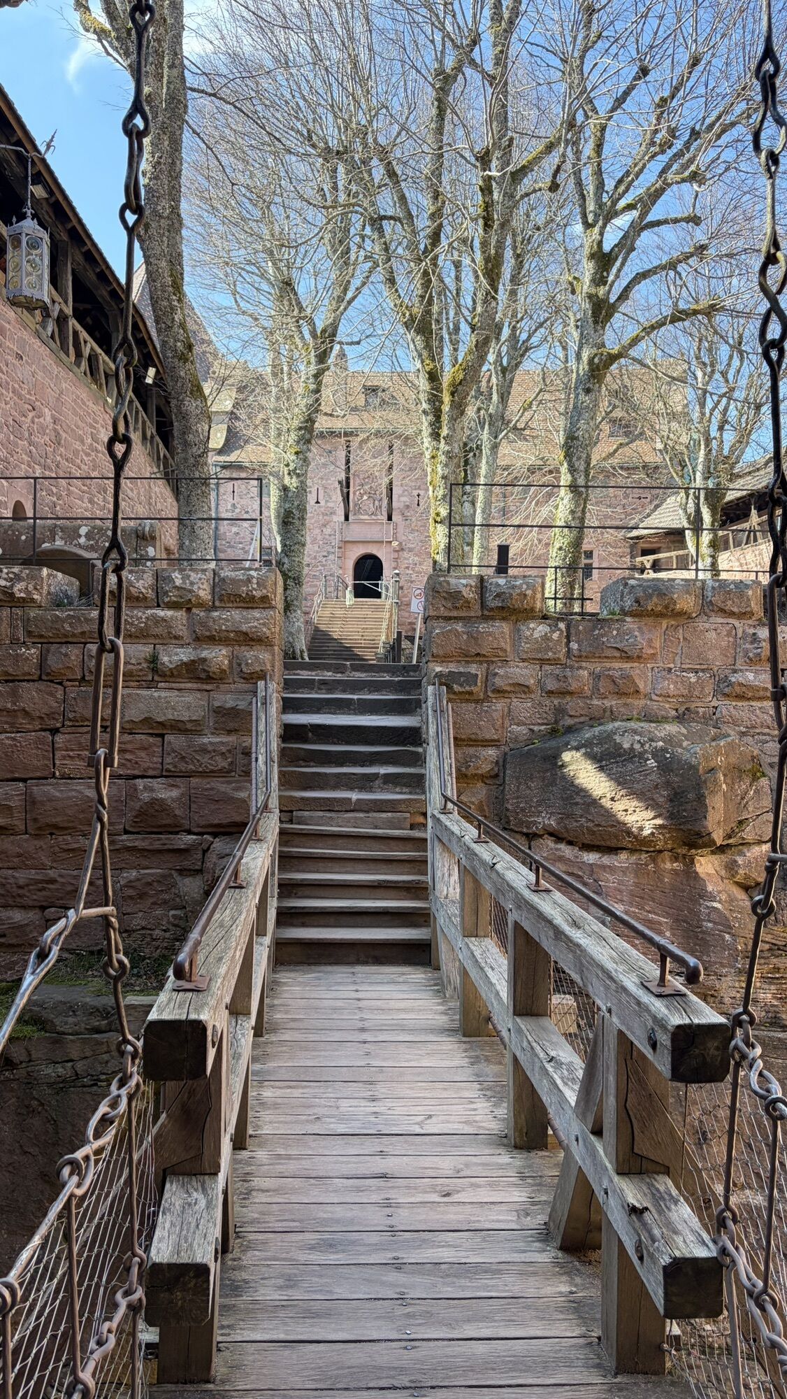
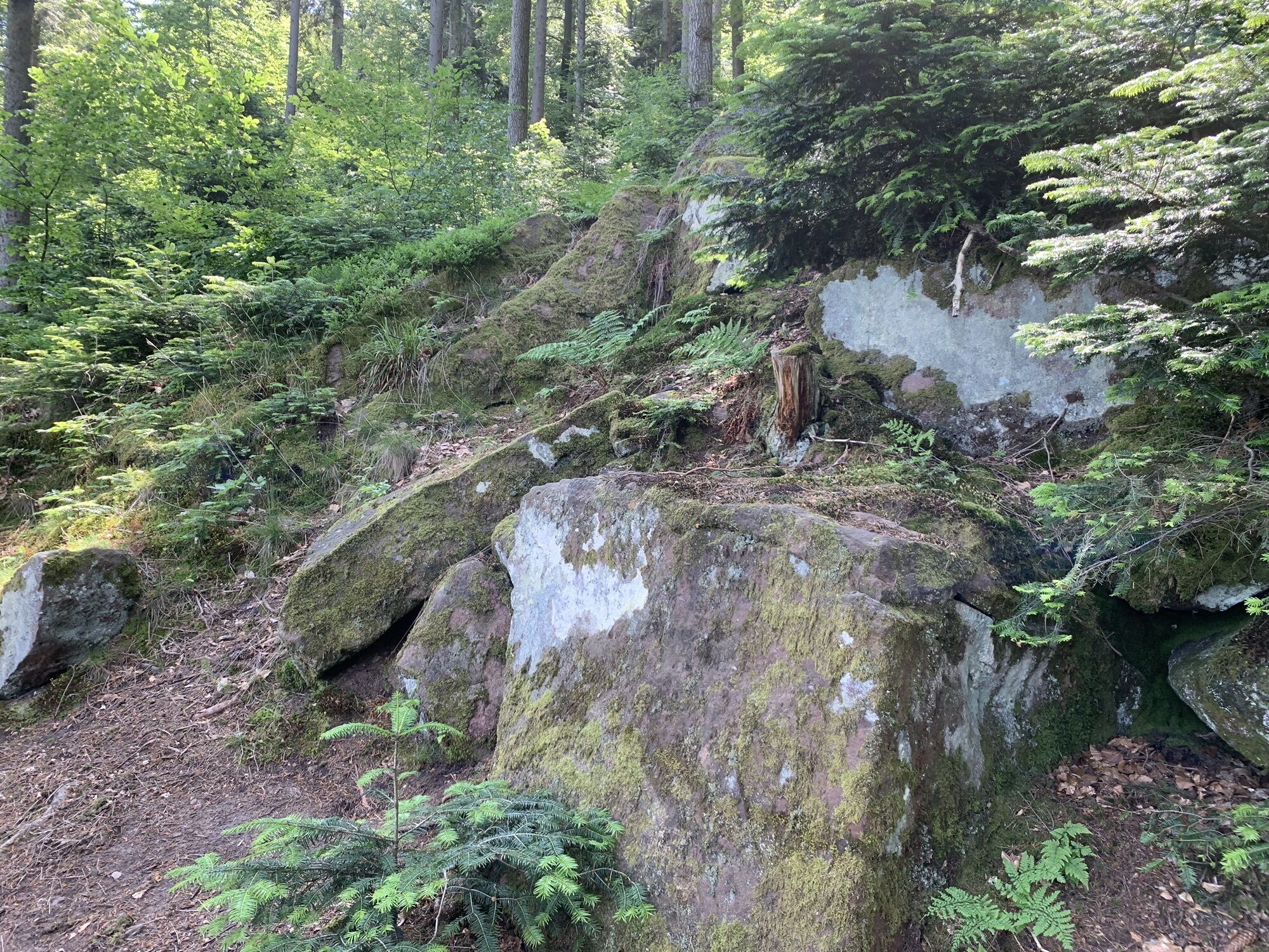
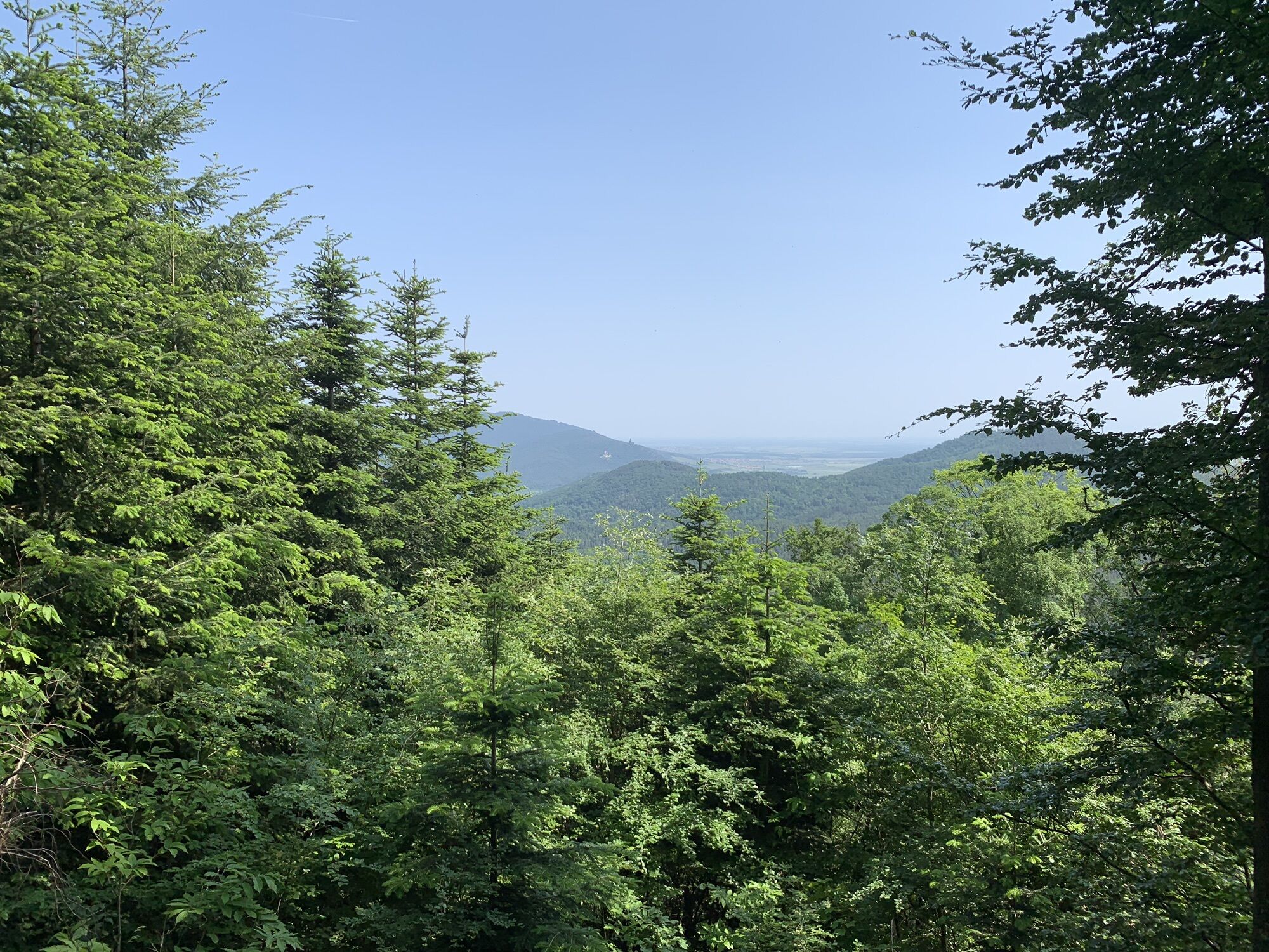
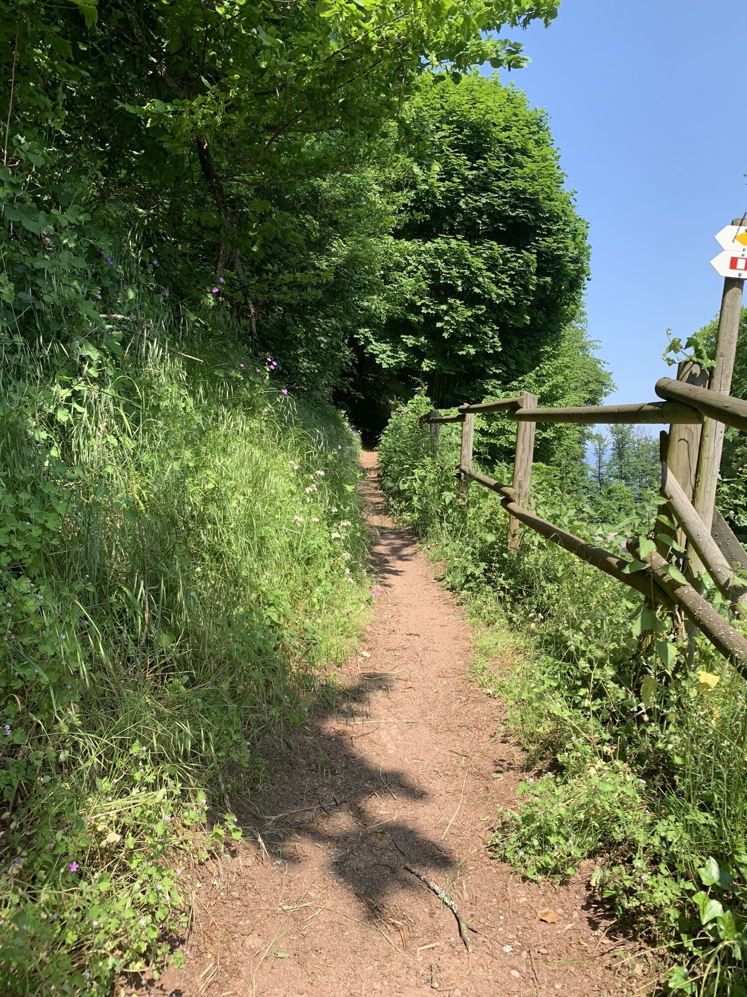
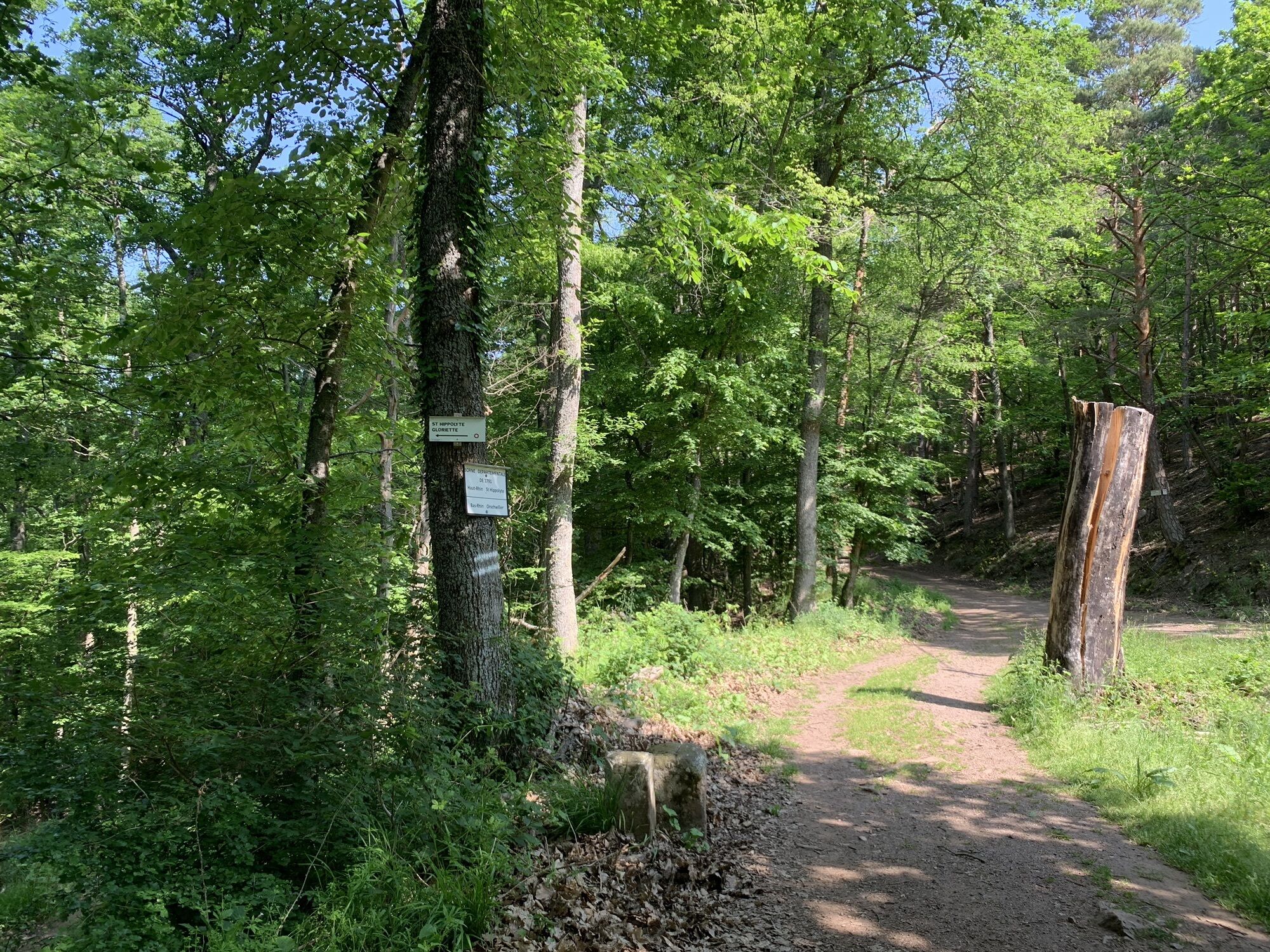
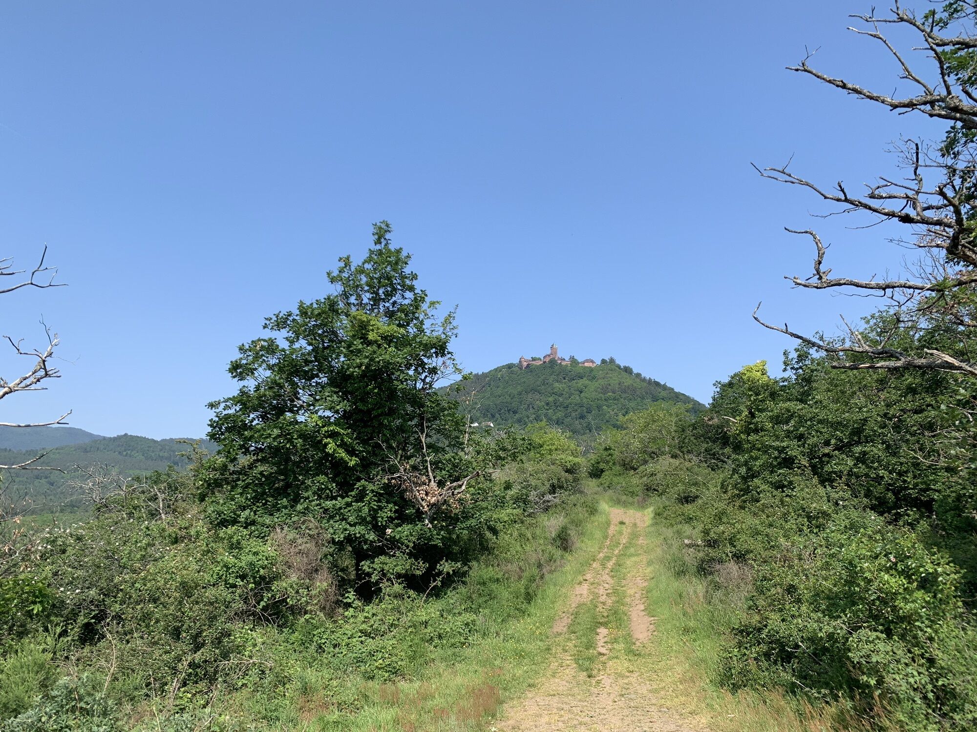
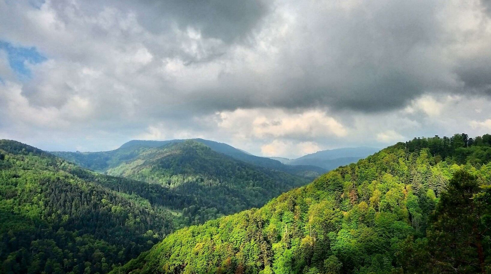
The Dukes' trail

It crosses the railway lines:
Strasbourg - Saint-Dié
Strasbourg - Sélestat


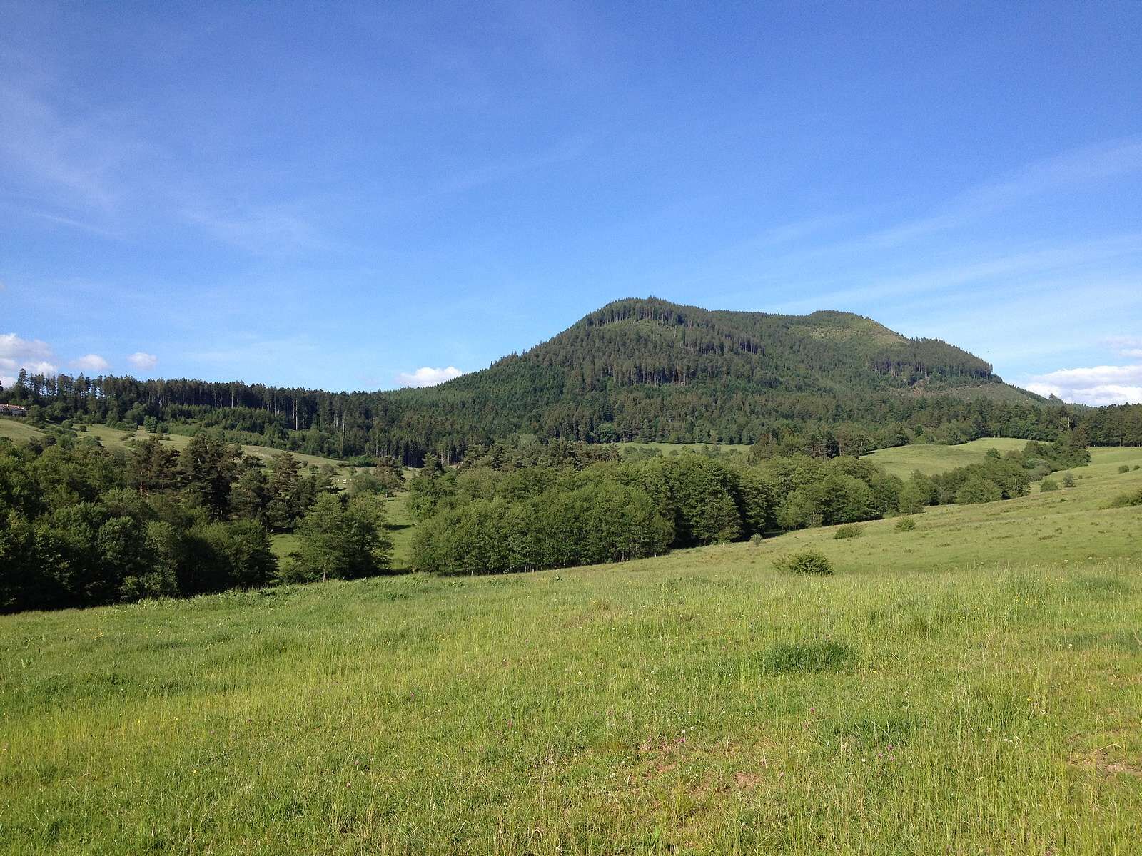
marked route "yellow diamond" by the Club Vosgien
Clothing suitable for the season and conditions (cold, hot, humid…)
Hiking shoes adapted to the terrain (even for children!)
Telescopic poles (useful for stability and to relieve joints)
Mobile phone and spare battery if needed
Before you leave:
Check the general and local weather, ensuring no precipitation
Inform yourself about the approach walk, trail elevation, duration, possible escape routes (IGN map, GPS, guidebook, etc.)
Assess possible risks by consulting mountain professionals, refuges, lodgings
Inform a close contact of your plan and update them in case of change: departure and return times, number of participants with each phone number, vehicle(s), parking
Avoid going alone, use equipment that complies with the activity, adjusted and in good condition, headlamp, complete first aid kit, survival blanket, etc.
In case of emergency, call 112 (European emergency number)
Montbéliard or Markolsheim
Free parking on site
Oblíbené prohlídky v okolí
-
5.0
Le tétras bistrot - Hohneck - Chapelle Notre-Dame-des-Chaumes - Brasserie de la Schlucht
heavyTuristika 10.7 km -
4.3
Hike around Lake Gérardmer
světloTuristika 5.49 km -
Tour de l'Altenweiher et Rainkopf, Mittlach, France
středníTuristika 12.6 km -
4.7
Longemer Col des Feignes Walk
středníTuristika 8.83 km -
Wald, Moor und Panorama
středníTuristika 9.56 km -
Vosges Massif Crossing - Stage 15 - Col de la Schlucht - The Markstein
heavydálková pěší trasa 26.9 km -
Schafert Farmhouse Walk "Towards a 360 degree high view"
středníTuristika 5.49 km -
Felsach farm-inn walk "Towards a nature sanctuary"
středníTuristika 6.81 km -
La Mexel Farmhouse-Inn walk - Along the levées de pierres
středníTuristika 4.43 km -
5.0
From the Schlucht to the Hohneck
středníTuristika 8.21 km
Pěší turistika a stopování


Nenechte si ujít nabídky a inspiraci pro vaši příští dovolenou
Vaše e-mailová adresa byl přidán do poštovního seznamu.