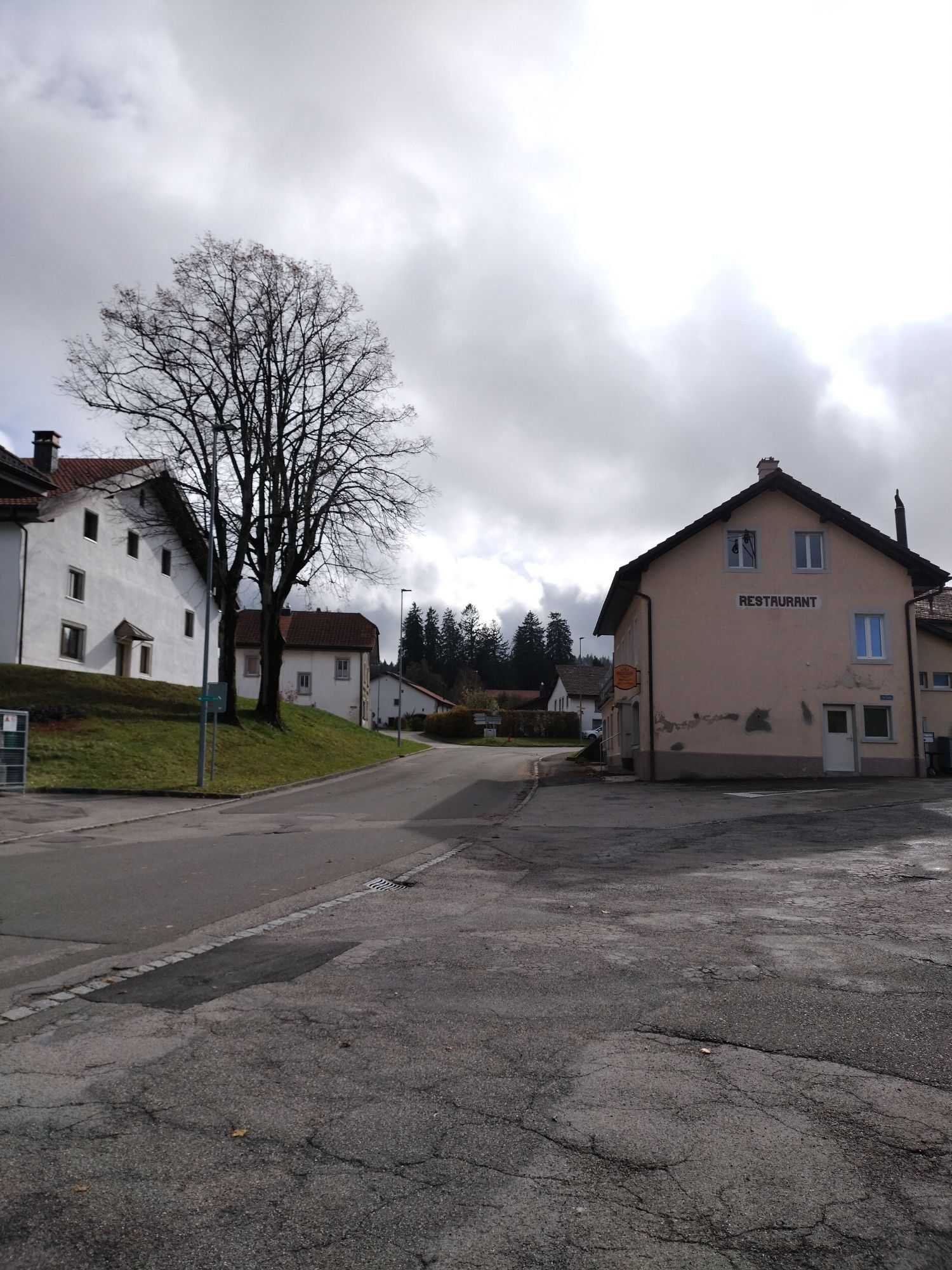
Bellelay - Restaurant de l'Ours Bellelay - Le Chat Bleu - Montbautier
střední
Navigace na stránkách
Navigace na stránkách
Pořiďte si tuto prohlídku do mobilního telefonu
Bellelay - Restaurant de l'Ours Bellelay - Le Chat Bleu - Montbautier
střední
Turistika
16.49
km
Naskenujte QR kód a spusťte navigaci v aplikaci bergfex.

Pěší turistika a stopování


Bellelay - Restaurant de l'Ours Bellelay - Le Chat Bleu - Montbautier
střední
Vzdálenost
16.49
km
Doba trvání
04:28
h
Ascent
247
hm
Hladina moře
924 -
1180
m
Stažení skladby
Bellelay - Restaurant de l'Ours Bellelay - Le Chat Bleu - Montbautier
střední
Turistika
16.49
km
Trasa
Bellelay
(931 m)
Vesnice
0.1 km
Les Genevez JU
(1035 m)
Vesnice
3.5 km
Milieu de la Montagne
(1102 m)
Vypořádání
7.3 km
Montbautier
(1160 m)
Summit
12.3 km
Le Fuet
(848 m)
Vesnice
13.4 km
Rière la Rouge Eau
(923 m)
Koridor/terén
14.9 km
Bellelay
(931 m)
Vesnice
16.4 km
Trasa
Bellelay - Restaurant de l'Ours Bellelay - Le Chat Bleu - Montbautier
střední
Turistika
16.49
km
Restaurant de l'Ours Bellelay
(936 m)
Restaurace
0.1 km
Bellelay
(931 m)
Vesnice
0.1 km
Les Genevez JU
(1035 m)
Vesnice
3.5 km
Le Chat Bleu
(1035 m)
Restaurace
3.6 km
Milieu de la Montagne
(1102 m)
Vypořádání
7.3 km
Rière Jorat
(1140 m)
Vypořádání
10.6 km
Restaurant Scheidegger-Ranch
(1140 m)
Restaurace
10.9 km
Montbautier
(1160 m)
Summit
12.3 km
Montbautier de Saicourt
(1134 m)
Koridor/terén
12.6 km
Le Fuet
(848 m)
Vesnice
13.4 km
Rière la Rouge Eau
(923 m)
Koridor/terén
14.9 km
La Sagne
(925 m)
Koridor/terén
15.0 km
Bellelay
(931 m)
Vesnice
16.4 km
Zatím žádné recenze
Oblíbené prohlídky v okolí
-
Taubenlochschlucht
Turistika 1.36 km -
Villeret via Combe Grède – Chasseral – Les Colisses du Haut – La Ragie nach Orvin
světloTuristika 22.7 km -
4.0
Saulcy - Schlucht Tabeillon - Saulcy (JU🇨🇭)
středníTuristika 13.1 km -
Les Prés-d’Orvin – Clédar de Pierrefeu – Chasseral – Métairie de Neuveville nach Nods
světloSněžnice 17 km -
5.0
Magglingen - Kapelle Magglingen - Steibruch Beizli - Nidau
středníTuristika 12.9 km -
4.5
Bellelay - Montbautier - Le Fuet - La Bottière
středníSněžnice 8.83 km -
Von allem etwas am Chasseral
heavyTuristika 21.5 km -
5.0
Frinvillier - Jurahaus - Chasseral - Nods
heavyTuristika 18.6 km -
4.0
Rundweg Romont
středníTuristika 11.8 km -
Les Reussilles um den Etang de la Guère
světloTuristika 11.8 km

Pěší turistika a stopování

Více než 550.000 návrhů výletů, podrobné mapy a intuitivní plánovač tras dělají z aplikace nezbytnou výbavu pro všechny milovníky přírody.

Nenechte si ujít nabídky a inspiraci pro vaši příští dovolenou
Přihlaste se k odběru newsletteru
Chyba
Došlo k chybě. Zkuste to prosím znovu.
Děkujeme za vaši registraci
Vaše e-mailová adresa byl přidán do poštovního seznamu.
Zájezdy po celé Evropě
Rakousko
Švýcarsko
Německo
Itálie
Slovenia
Francie
Nizozemsko
Belgie
Polsko
Lichtenštejnsko
Česko
Slovensko
Španělsko
Chorvatsko
Bosna a Hercegovina
Lucembursko
Andorra
Portugal
Iceland
United Kingdom
Ireland
Greece
Albania
North Macedonia
Malta
Norway
Montenegro
Moldova
Kosovo
Hungary
San Marino
Romania
Estonia
Latvia
Belarus
Cyprus
Lithuania
Serbia
Bulgaria
Monaco
Denmark
Sweden
Finland