






Valley hike to Fallmühle – winter hike to the woodcutters in Achtal

Úroveň obtížnosti: 1
Along the mountain river Ach, you will experience unforgettable contrasts: The hike begins near the lifts and slopes of the Pfronten ski center. While colorful winter sports enthusiasts rush down the valley...
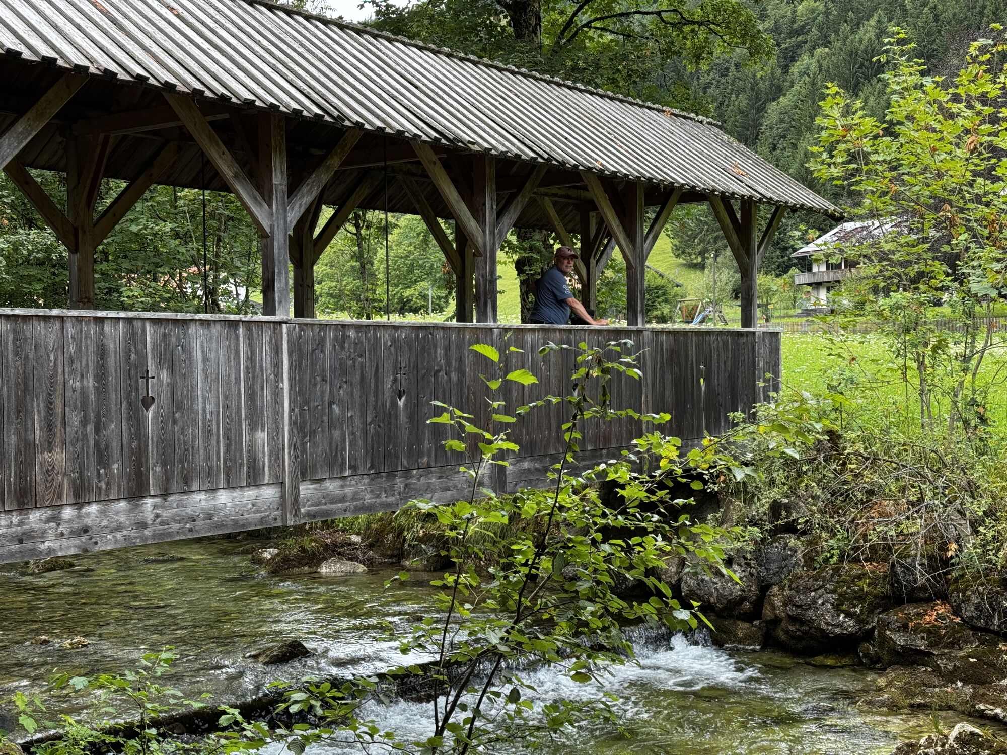
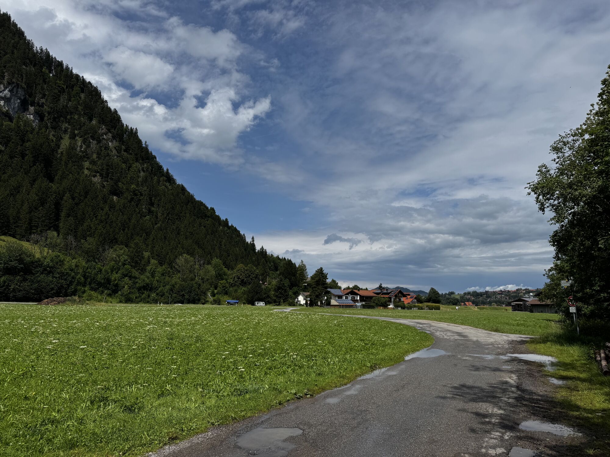
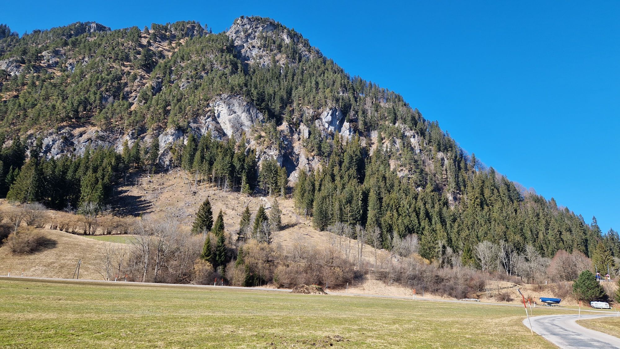
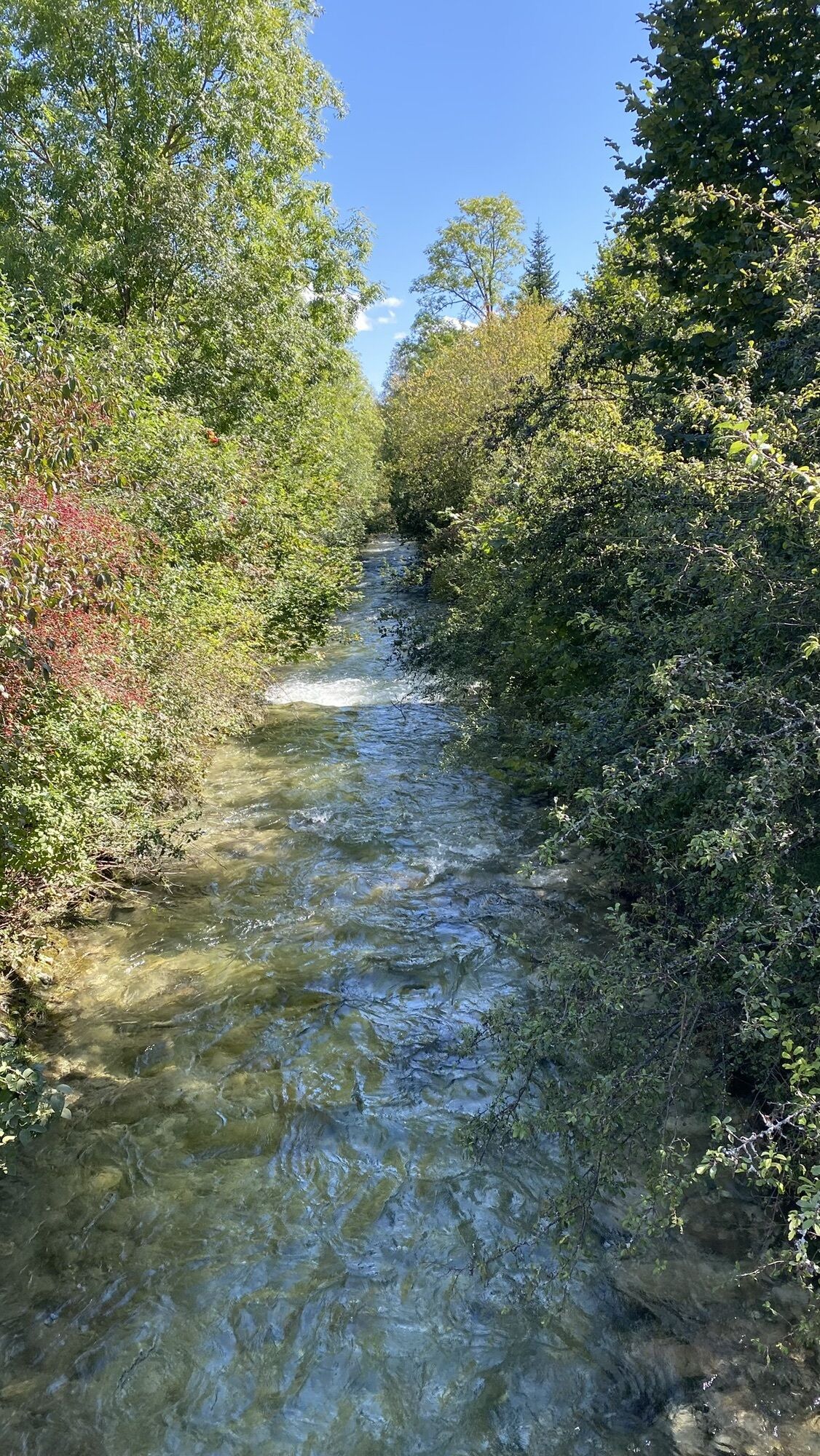
Along the mountain river Ach, you will experience unforgettable contrasts: The hike begins near the lifts and slopes of the Pfronten ski center. While colorful winter sports enthusiasts rush down the valley here, you discover the lonely side valley of the "Steinacher Ach". At its entrance lies the hamlet "Gschön": The locals also call the shadiest spot in their community the "Pfronten North Pole". After the quiet walk through the mixed floodplain forest, the landscape opens up again: Behind the picturesque avenue of mighty sycamores, the historically and story-rich inn of Fallmühle awaits. There, almost daily, the lumberjacks and mountain farmers meet at the regulars' table and exchange their news – as has always been customary.


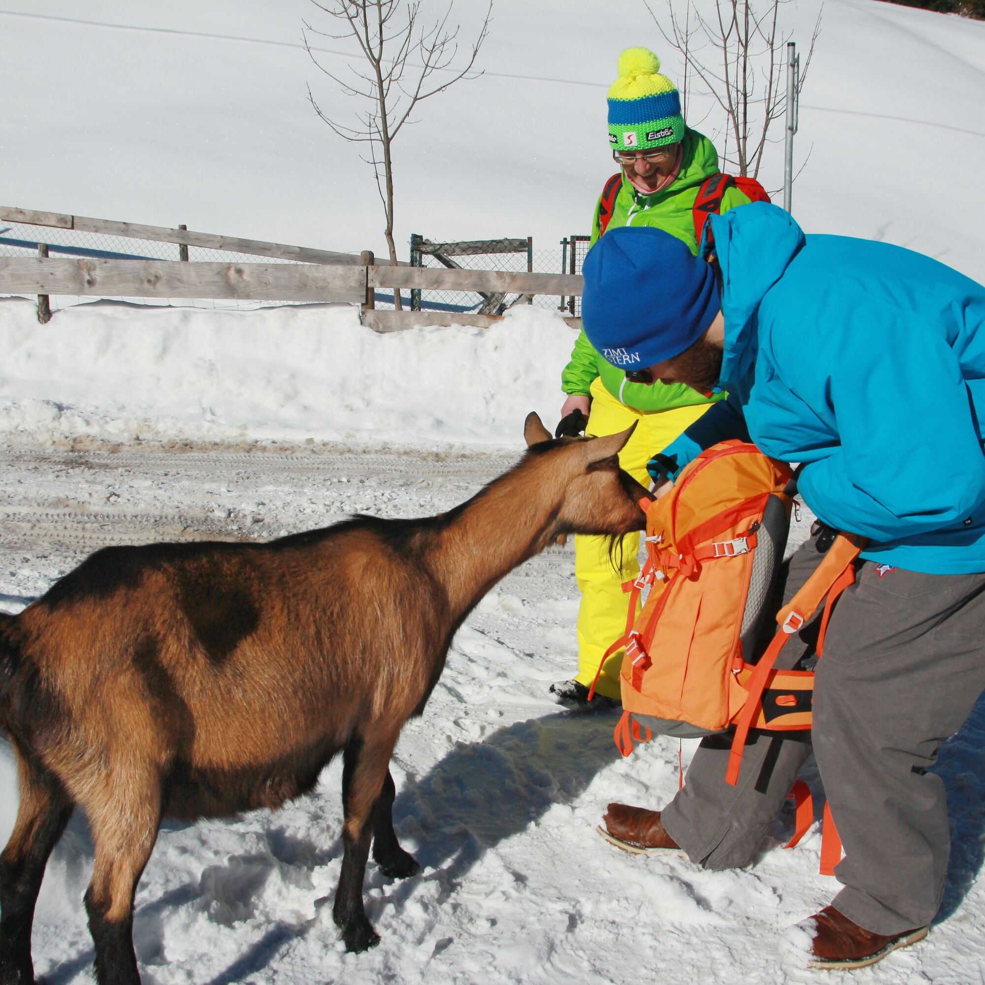

Quickly you leave the ski area in Steinach on this hike and thus the broad Pfronten main valley. At the foot of the mighty Breitenberg, the path leads into the side valley of the "Steinacher Ach". From the outskirts of the village, the path follows along the Steinacher Ach to the bridge to the hamlet "Gschön". Here runs a power channel that supplies water to some small power plants. Always keep the river to your right, the path runs through the floodplain forest and allows for exciting discoveries again and again. For example, a picture panel on the left side of the path. Here, the carters used to pray for divine assistance before the dangerous journey through the valley. Today, the well-developed road on the other side of the river leads south to the Tannheimer Tal in Tyrol. An underpass facilitates the crossing to the other side of the valley and through the beautiful avenue, the Fallmühle inn is reached immediately. There, guests can expect not only many traditional dishes but also friendly goats.
Ano
Weatherproof clothing, a backpack with provisions and change of clothes, and sun protection if needed.
TIPS FOR SAFE WINTER HIKING
• Use the marked hiking trails
• Check the weather before the hike
• Consider the shorter daylight hours in winter
• Wear sturdy footwear and crampons if needed
• Dress in winter-appropriate clothing
• Bring a hiking map
• Pack first aid kit and mobile phone
• European emergency number: 112
B309 - Achtalstraße - Scheiberweg
Public transport to Pfronten-Steinach
Large free parking lot at the ski center in Pfronten-Steinach
1
At the "Fahl", as the Fallmühle is fondly called by locals, there are very tasty shepherd's macaroni. Definitely try it!
Webové kamery z prohlídky

Oblíbené prohlídky v okolí
-
4.9
Hiking tour to Breitenberg
heavyTuristika 15.6 km -
4.8
To the Bad Kissinger Hut via the Gräner Höhenweg
středníTuristika 13.0 km -
4.7
Mountain hike to the Aggenstein
heavyTuristika 15.3 km -
4.7
Panorama route to the Ostlerhütte
středníTuristika 5.11 km -
4.6
Around Weißensee
světloTuristika 6.12 km -
4.9
Gemeinde Grän, Tirol/Österreich Aggenstein Rundtour über Höhenweg
středníTuristika 9.84 km -
4.8
Tannheim / Vilsalpsee / Landsberger Hütte
středníTuristika 15.7 km -
4.3
Tříjezerní túra (oceněná Pečetí kvality Tyrolské horské stezky)
středníTuristika 14.8 km -
4.8
Iseler und Kühgundkopf
středníTuristika 7.63 km -
4.7
3-Gipfel-Tour
středníTuristika 11.2 km
Pěší turistika a stopování


Nenechte si ujít nabídky a inspiraci pro vaši příští dovolenou
Vaše e-mailová adresa byl přidán do poštovního seznamu.





