




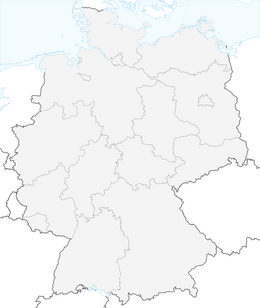
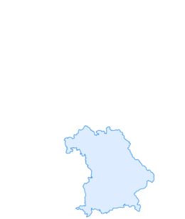

Winter hike - From the Mittag summit to the Bärenköpfle
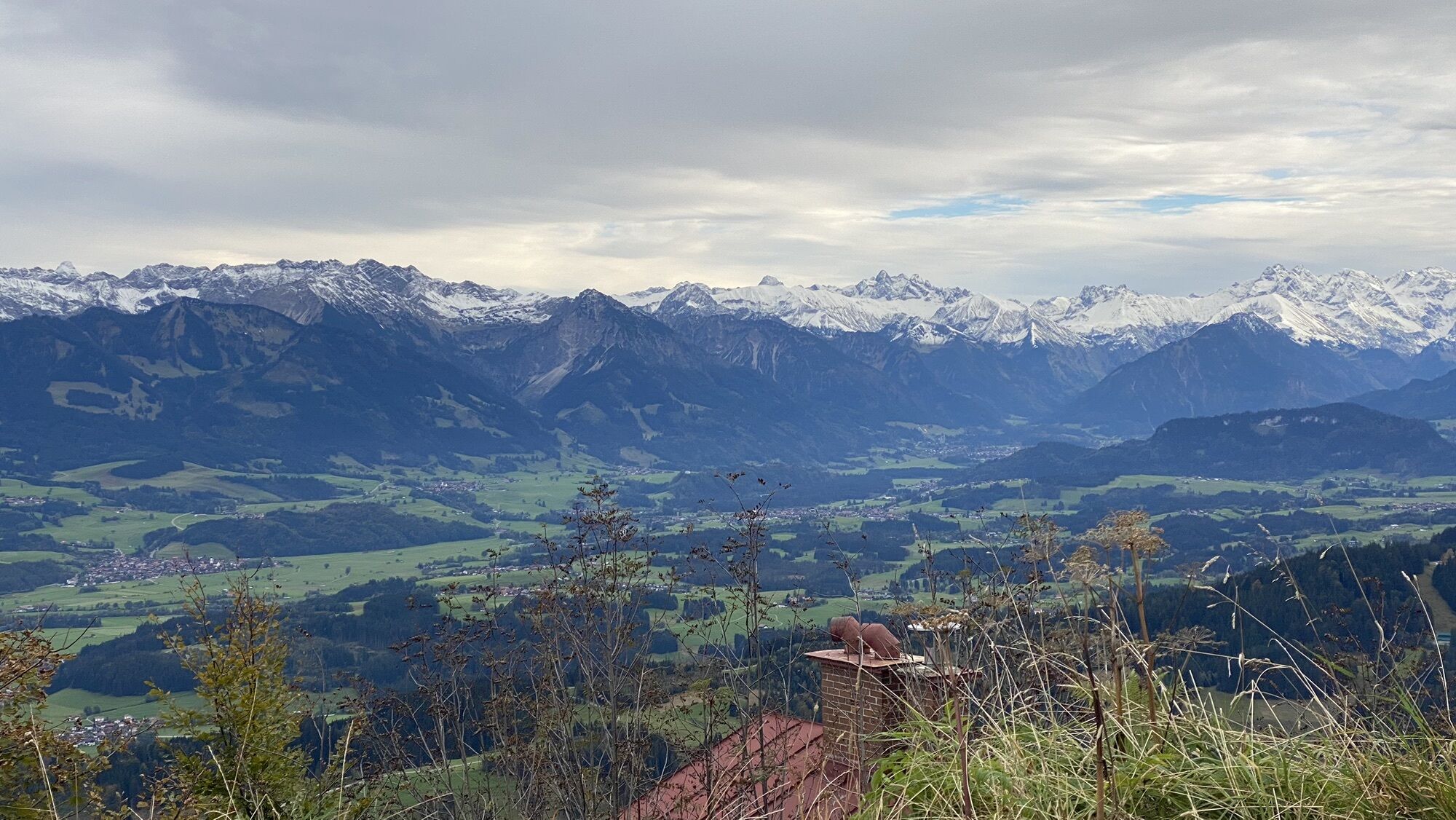
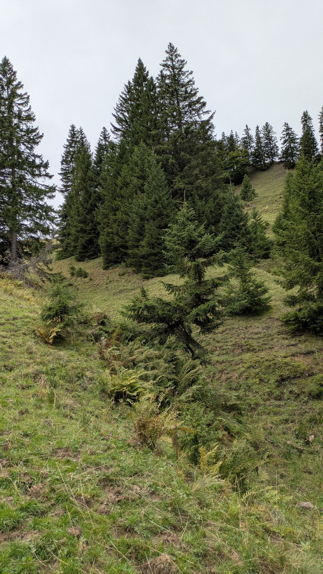
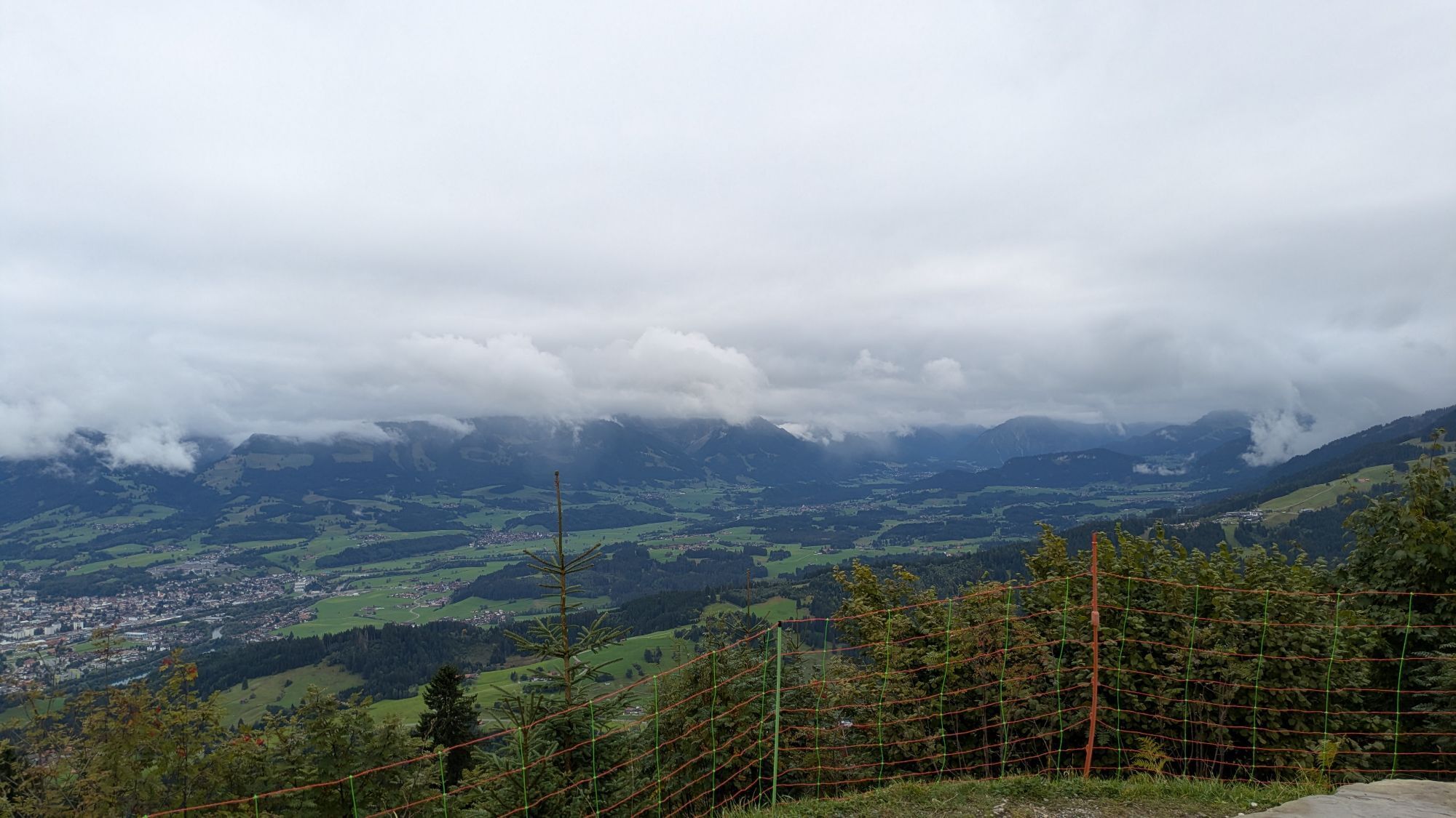
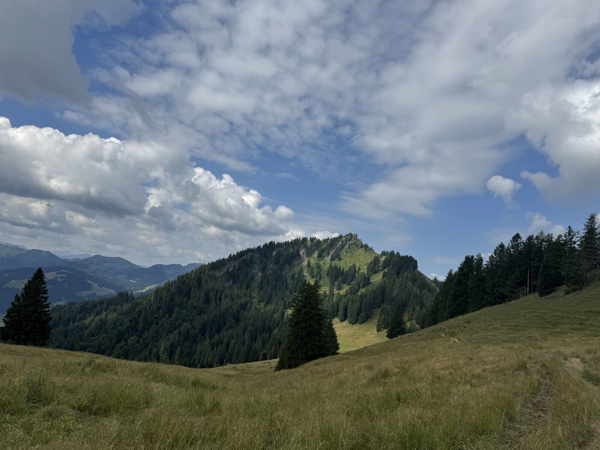
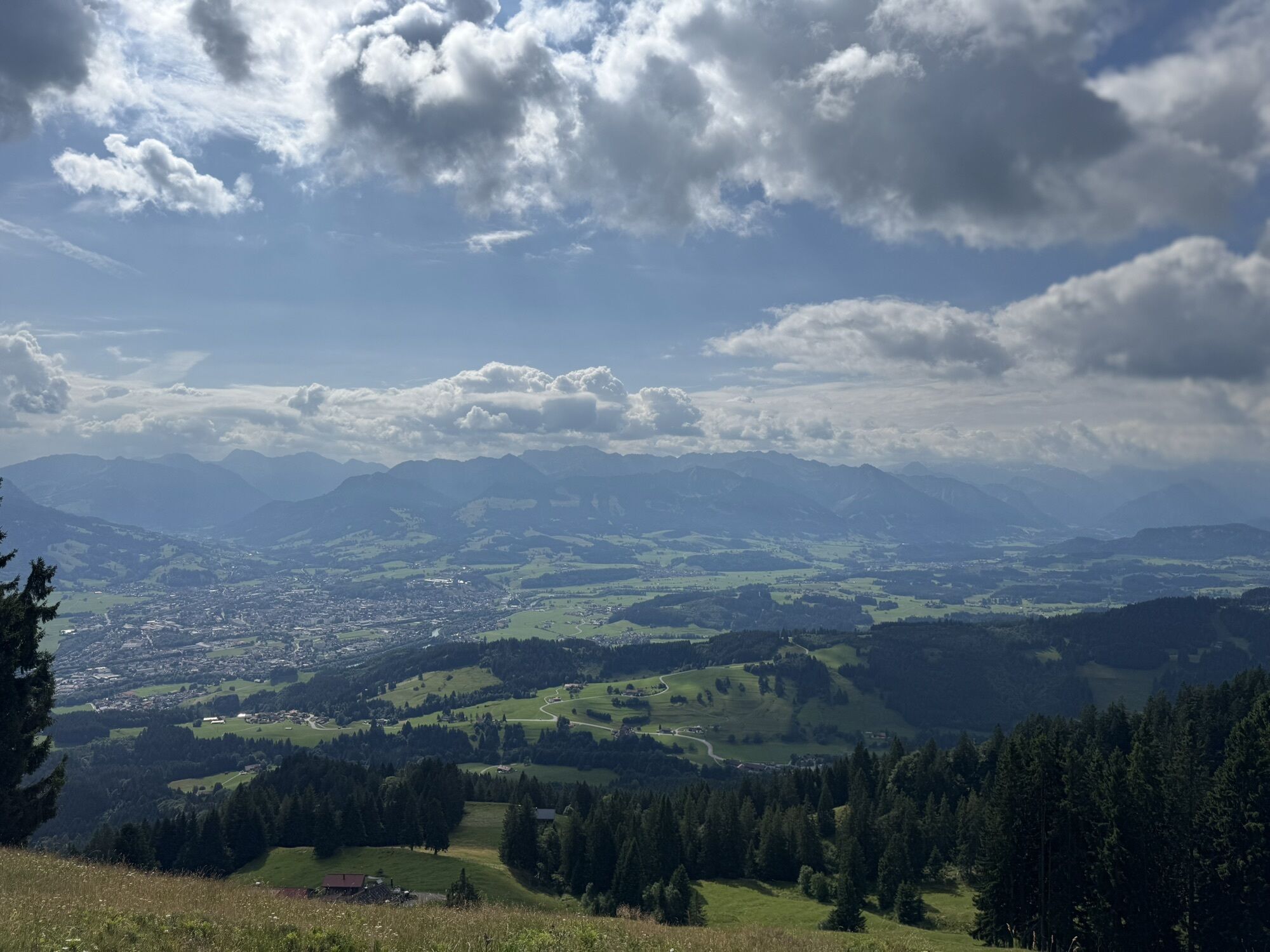
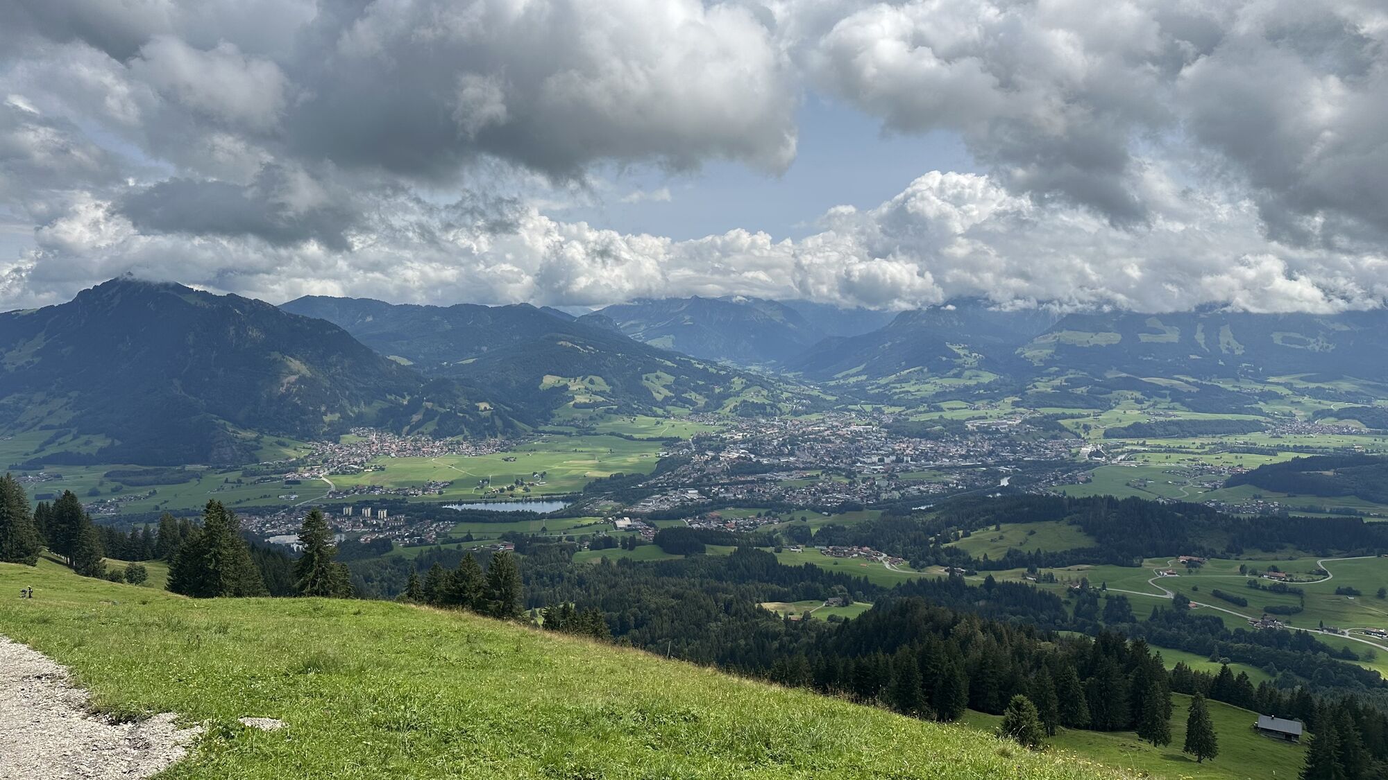
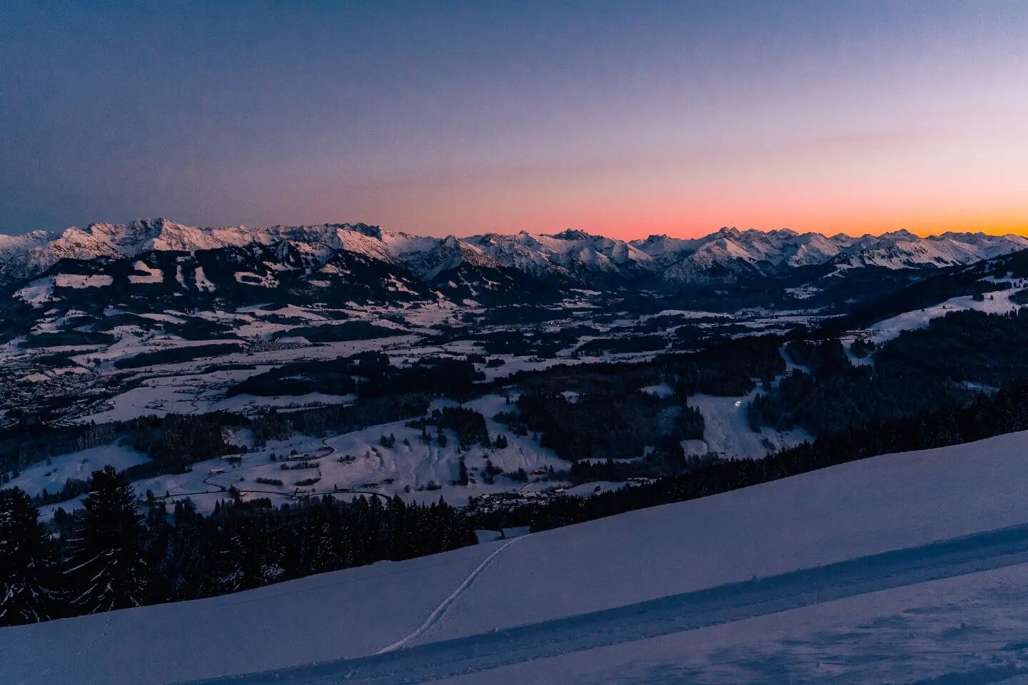
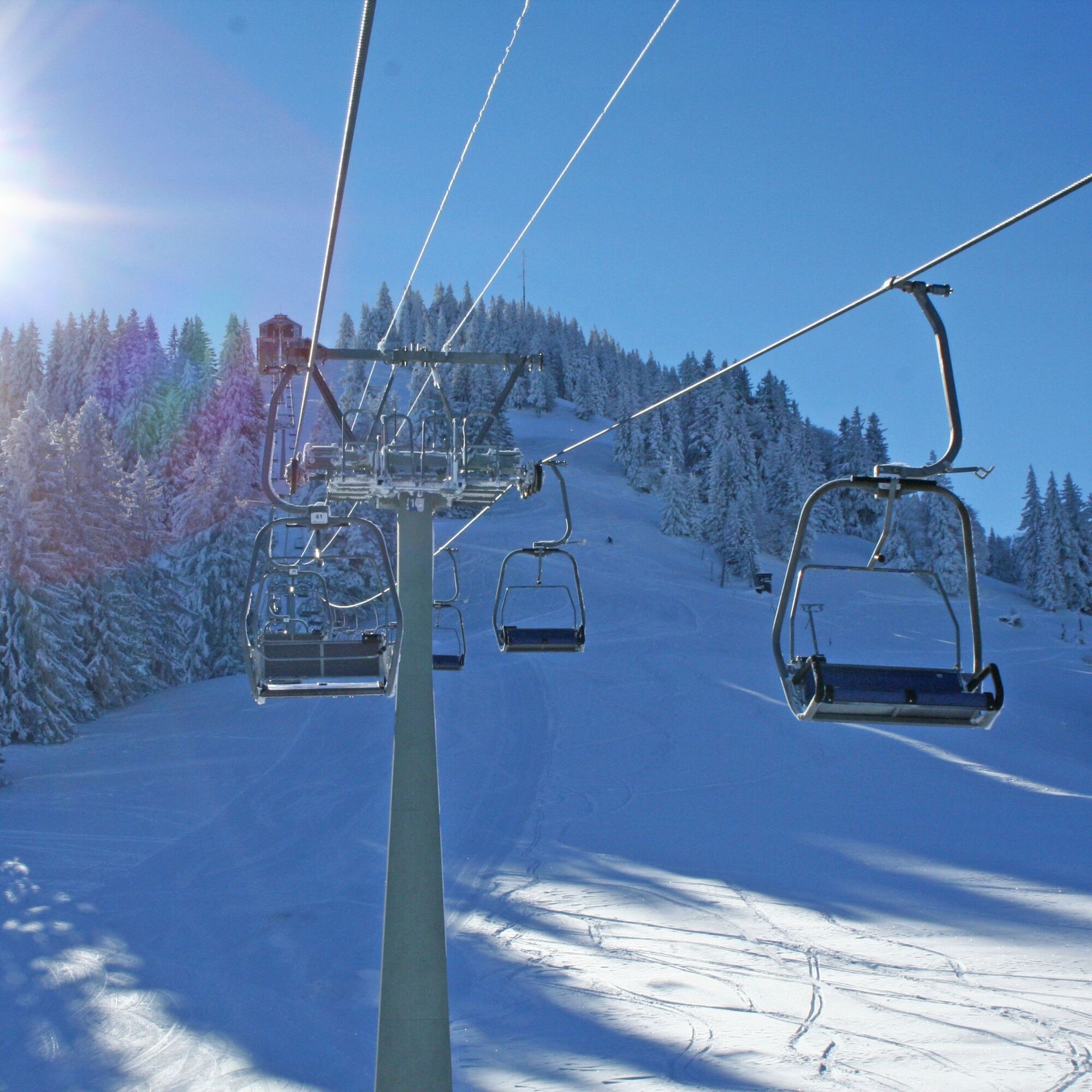
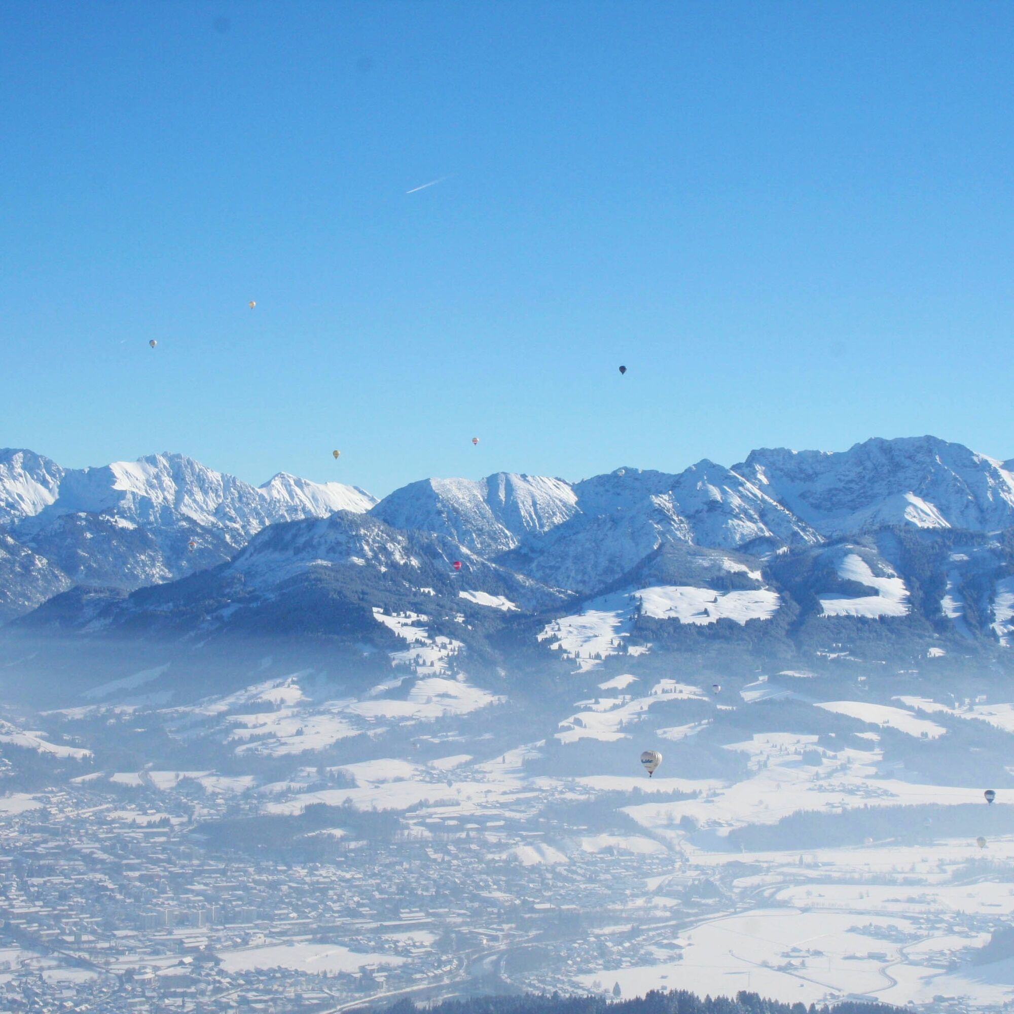
The Mittag cable car takes you up to the summit of Mittag at 1,451 meters above sea level. From there, a rolled path, a wide hiking trail in summer, continues to the Bärenköpfle at 1,463 meters above sea...
Note: The tour can be extended by climbing the Mittagberg without using the cable car. This mountain tour takes at least two hours in summer and three hours in winter. Good footwear is required and snowshoes may be necessary in winter. A detailed tour description can be found in the winter hike "Through the Steigbach valley to Mittag" .
Alternatively, the ascent can be made from the middle station of the Mittagbahn cable car to shorten the tour.


Ano
Ano
Ano
Alternatively also accessible by car.
Easily accessible by train and bus.
Take the train to Immenstadt station and from there it's a 5-minute walk to the cemetery, the starting point of the hike.
Did you know?
All Immenstadt vacation guests receive the Mobil Pass Allgäu from their host, which means that this hike can be reached free of charge by public transport.
Parking is available directly at the cemetery, at the Mittagbahn valley station or in the town center.
Wonderful viewing benches invite you to linger along the way.
Získejte přehled Vždy živě na místě s více než 9 500 webkamerami. bergfex Jako uživatel Pro si nyní můžete zobrazit odpovídající webové kamery pro mnoho prohlídek v aplikaci prohlídky z. Můžete si tak přímo prohlédnout aktuální podmínky. Oblíbené prohlídky v okolí
- 4.7
Steibis - Buchenegger Waterfalls
středníTuristika 6.47 km - 3.9
Klassikertour: Auf den Grünten
heavyTuristika 8.50 km - 4.8
Unterer Gaisalpsee
středníVysokohorská turistika 8.64 km - 4.7
Rubihorn
středníTuristika 9.06 km - 4.8
Rubihorntour
středníHorská turistika 13.0 km - 4.6
Reichenbach, Tobelweg, Entschenkopf, Gaisalpseen
heavyVysokohorská turistika 13.0 km - 4.6
Entschenkopf
heavyTuristika 12.3 km - 4.4
Wanderung auf den grünten
středníTuristika 8.31 km - 4.4
3-Gipfel-Tour bei Sonthofen im Allgäu
středníTuristika 11.4 km - 4.3
Starzlachklamm
středníTuristika 5.30 km
Pěší turistika a stopování


Nenechte si ujít nabídky a inspiraci pro vaši příští dovolenou
Vaše e-mailová adresa byl přidán do poštovního seznamu.





