


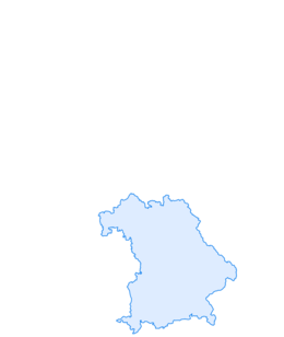

Winter hike - Geizenmoos
Úroveň obtížnosti: 2
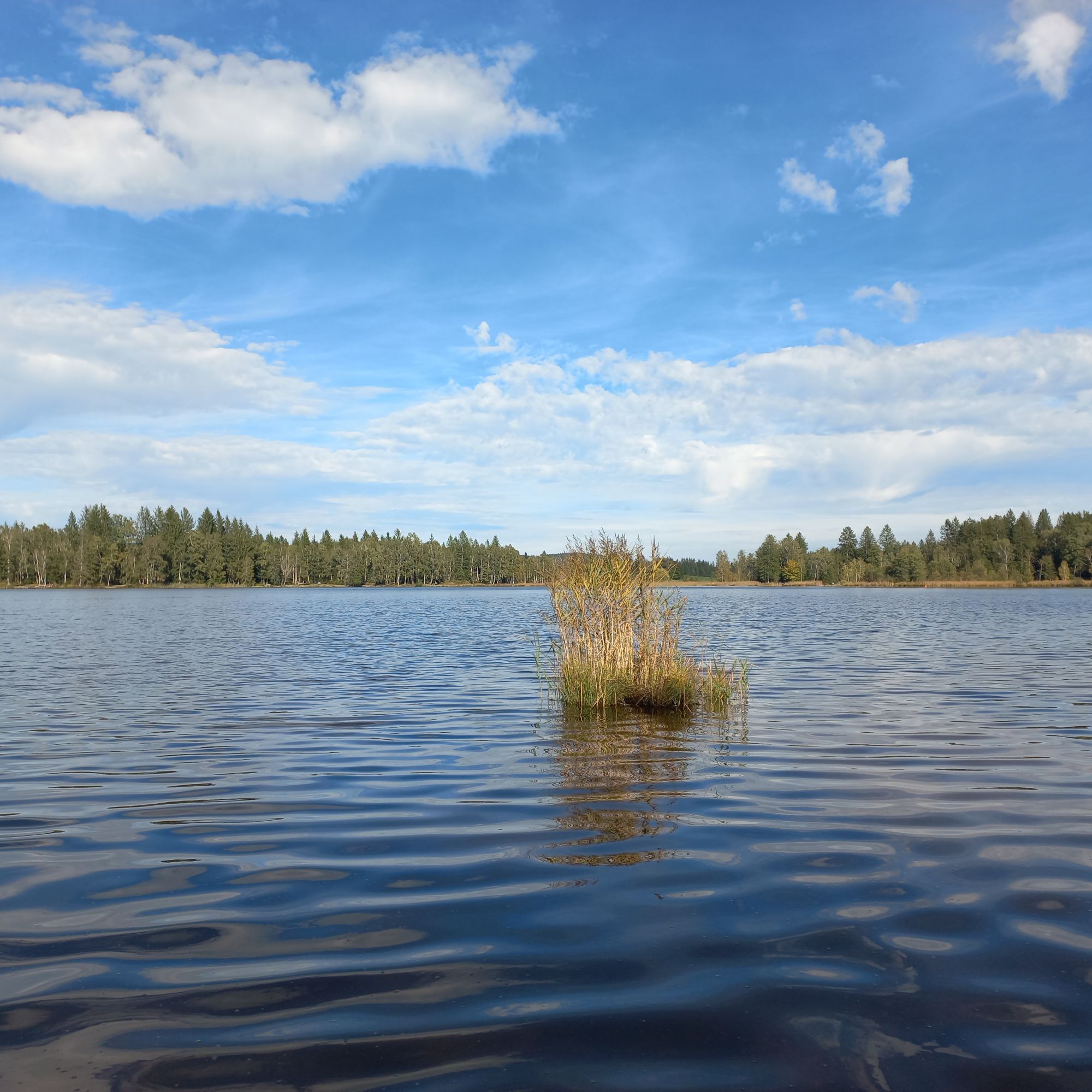
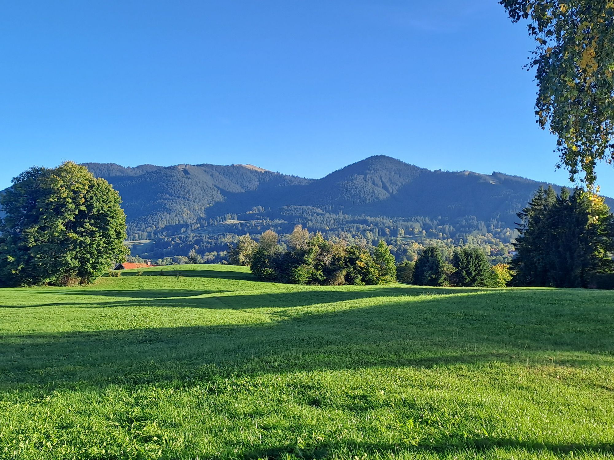
From the starting point, your first steps lead along the southern shore of the Soier Lake to the junction "Bad Kohlgrub via Geizenmoos." You now walk through a beautiful moorland, which is especially charming...
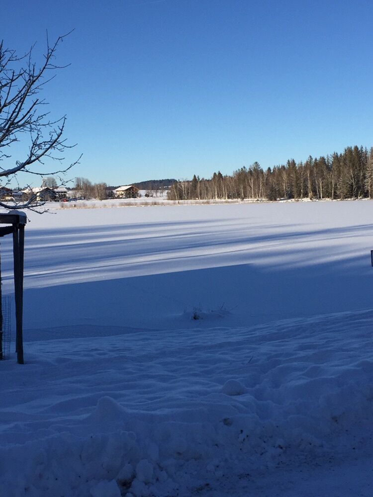
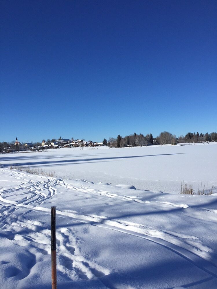
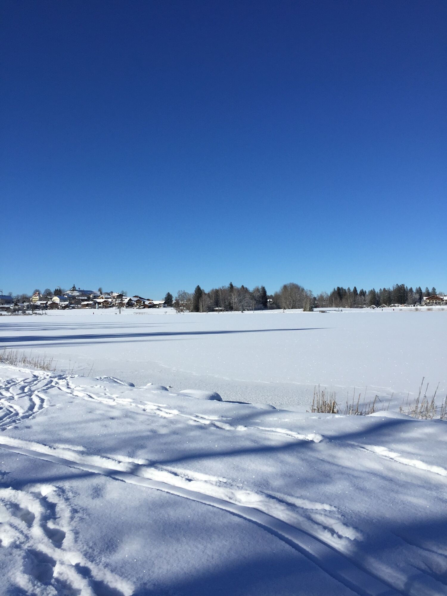
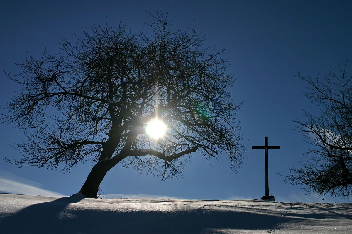
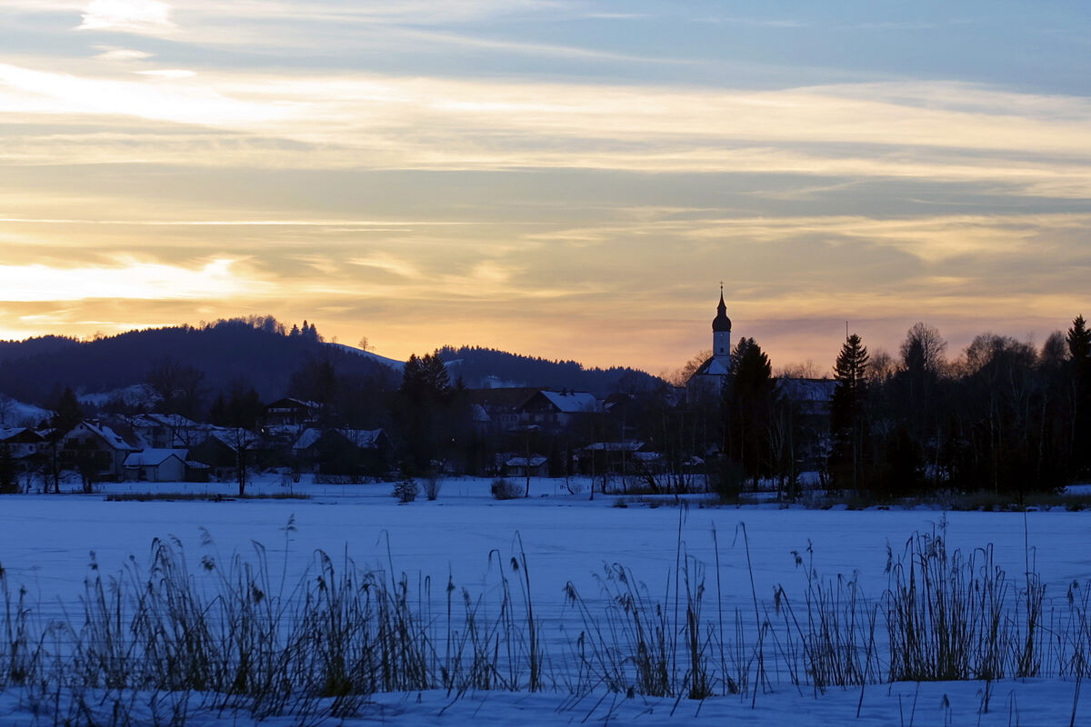
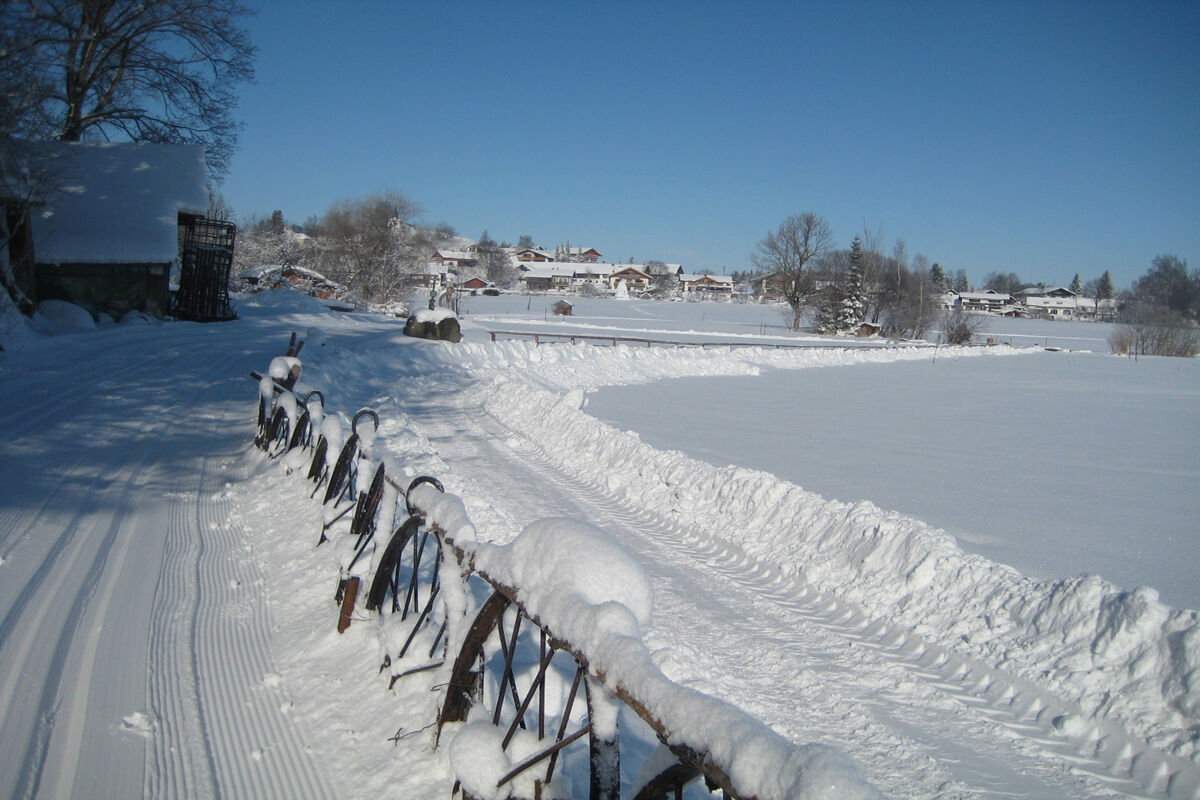
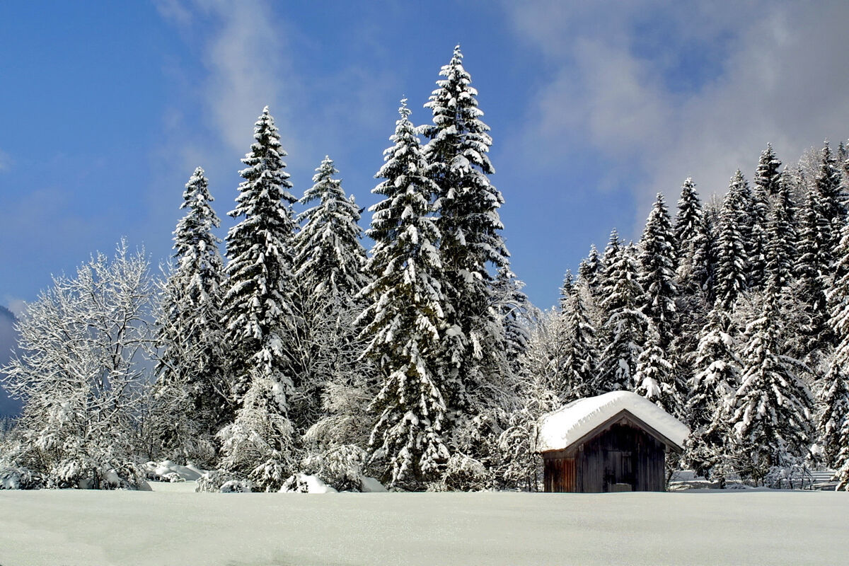
From the starting point, your first steps lead along the southern shore of the Soier Lake to the junction "Bad Kohlgrub via Geizenmoos." You now walk through a beautiful moorland, which is especially charming when snow-covered, and enjoy wonderful views towards the Ammergau Mountains. Along the way, posts with HAIKU poems provide literary amusement. After about 6.5 km, you reach the St. Rochus Chapel, located on the northern outskirts of Bad Kohlgrub. Take a look inside! Over the Rochusfelder Filz, a former extraction area of the Bad Kohlgrub healing moor, the path continues alongside the road towards Saulgrub. You follow the way through the underpass and then hike parallel to the B 23 until the path leads over a bridge, after which you keep to the right. You still have to cross the federal road once before the path continues along the "old road" to Bad Bayersoien. Shortly before the destination, you reach the Seebichl. The view over Soier Lake and the town from here is truly breathtaking. Then it goes comfortably back towards the starting point.
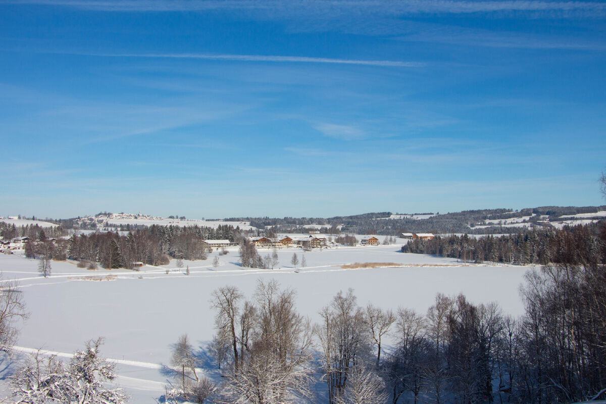

From Lake Soier in Bad Bayersoien, follow the hiking signs (blue snowflake with number 13) through the Geizenmoos towards Bad Kohlgrub. Through the Findenauwald forest, you will return to Bad Bayersoien.
Ano
With the perfect equipment, your personal winter day in the Ammergau Alps Nature Park will be unforgettable. You can rent suitable winter equipment such as crampons (spikes for hiking boots), hiking poles, snowshoes, sleds, or cross-country skis at our rental stations:
Tourist-Info Bad Bayersoien
Address: Dorfstr. 45 - 82435 Bad Bayersoien
Phone: +49 8845 7030 620
Drahtesel Rental Lukas Spindler / Sporthaus Mühlstraßer
Address: Theaterstraße 2 - 82487 Oberammergau
Phone: +49 172 7228493
www.sport-muehlstrasser.de/
www.bikeverleih-oberammergau.de
Sportzentrale Papistock
Address: Bahnhofstraße 6a, 82487
Phone: +49 8822 4178
www.sportzentrale-papistock.de
In case of emergency, please contact the nearest emergency control center. Regardless of location, you can reach it nationwide in Germany at the phone number 112.
A95, via Murnau (St2062) Bad Kohlgrub to Bad Bayersoien
Bus stop: Eisplatz
9606 Garmisch-Partenkirchen - Oberammergau - Wieskirche - Füssen
Guests of the Ammergau Alps region travel free by bus and train with the electronic guest card or the KönigsCard.
Parking lot at Seeweg/Fischerhäusl Bad Kohlgrub
Parking lot Trahtweg, Bad Kohlgrub
2
The inn "Zum bayrischen Paradies" with health-conscious cuisine, where allergy sufferers, vegetarians, and vegans also find delicious dishes, invites you to stop by.
Oblíbené prohlídky v okolí
-
4.5
Mountain route - Teufelstättkopf
středníTuristika 10.8 km -
4.6
Mountain route - Laber via Soilasee
světloTuristika 11.8 km -
4.7
Murnauer Moos
světloTuristika 11.5 km -
4.6
Laber - Ettaler Mandl
světloTuristika 9.10 km -
4.5
Mountain tour - Kofel
středníTuristika 11.3 km -
4.5
Notkarspitze
středníTuristika 10.2 km -
4.0
Hut hike - Hörnle Hut
světloTuristika 6.20 km -
3.5
Hörnle
středníHorská turistika 9.23 km -
4.5
Mountain route - Hörnle round
světloTuristika 10.8 km -
4.8
Hike - Small Staffelsee loop
světloTuristika 5.43 km

Pěší turistika a stopování


Nenechte si ujít nabídky a inspiraci pro vaši příští dovolenou
Vaše e-mailová adresa byl přidán do poštovního seznamu.