


Winter hike - Rantscher Weiher
Úroveň obtížnosti: 2
Fotografie našich uživatelů

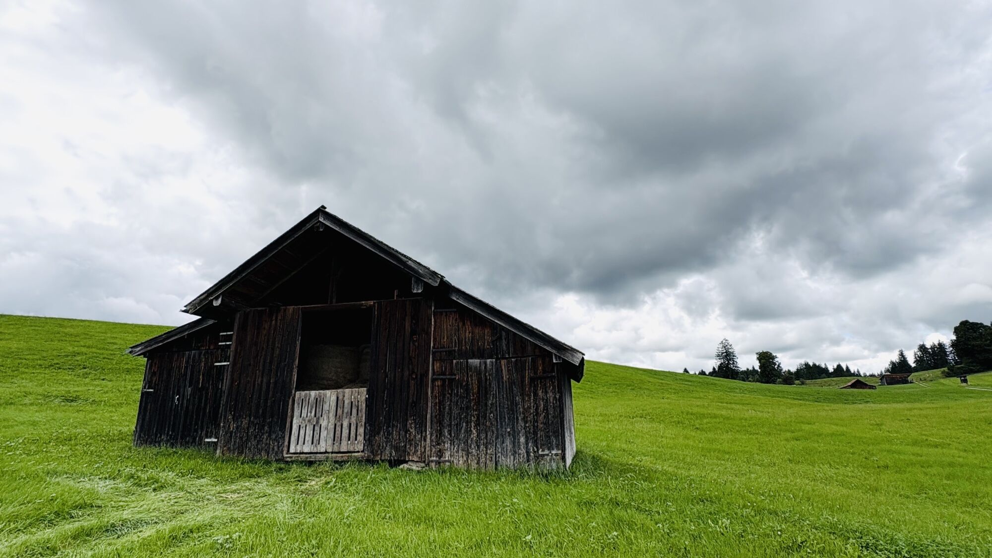
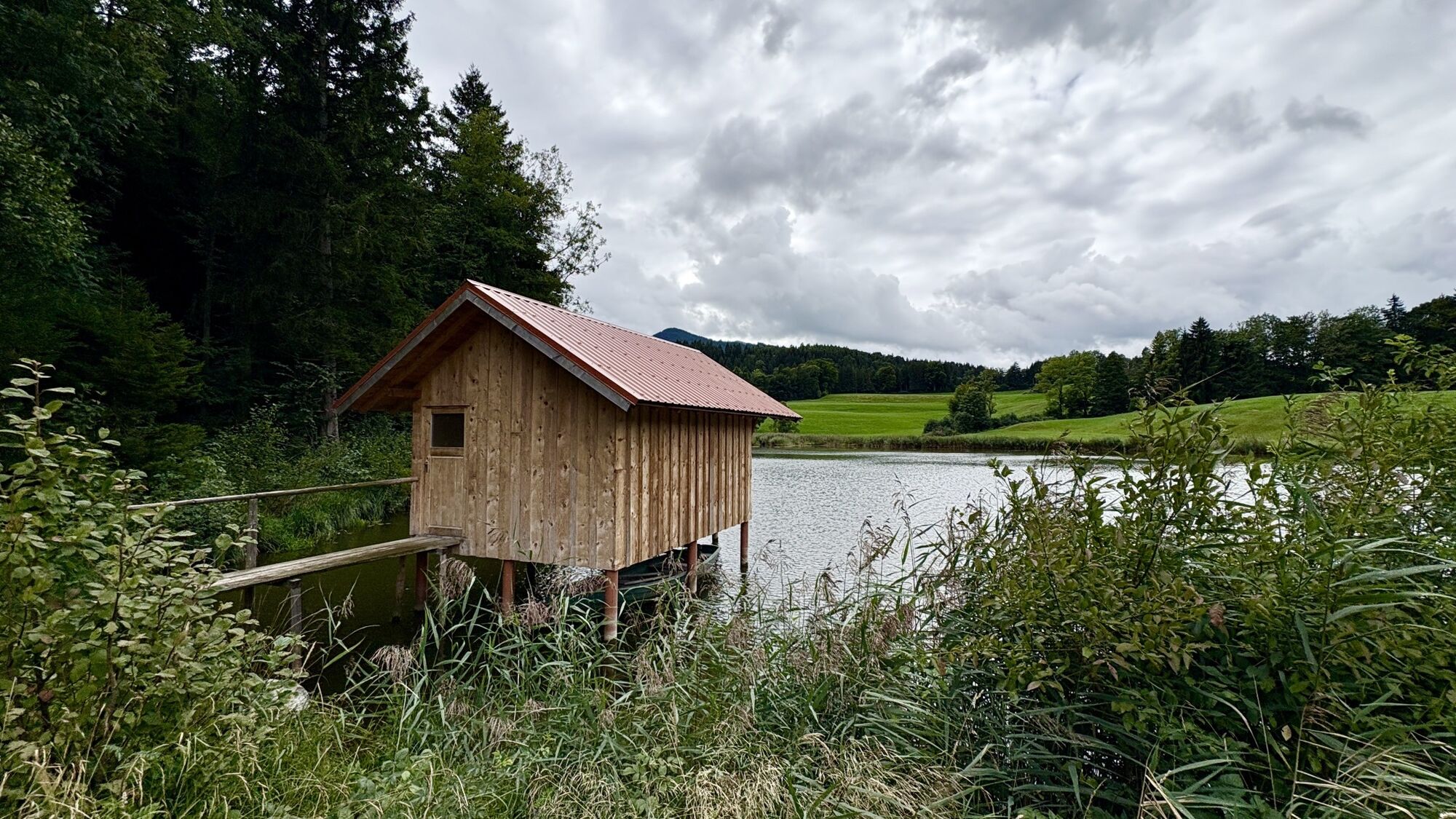
 © Wanderbursche66Vytvořeno dne 03.10.2025
 © Wanderbursche66Vytvořeno dne 03.10.2025
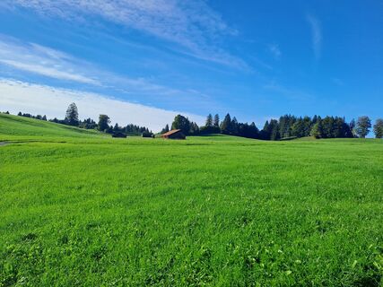 © Wanderbursche66Vytvořeno dne 03.10.2025
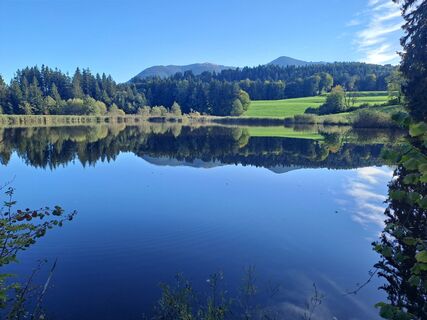 © Wanderbursche66Vytvořeno dne 03.10.2025
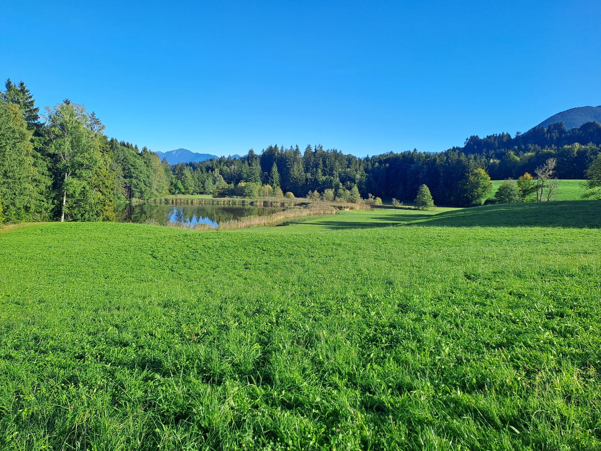
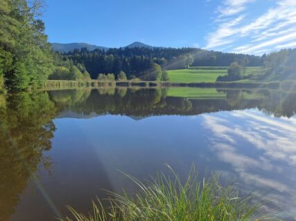 © Wanderbursche66Vytvořeno dne 03.10.2025
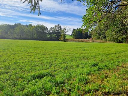 © Wanderbursche66Vytvořeno dne 03.10.2025
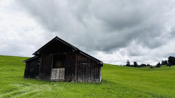
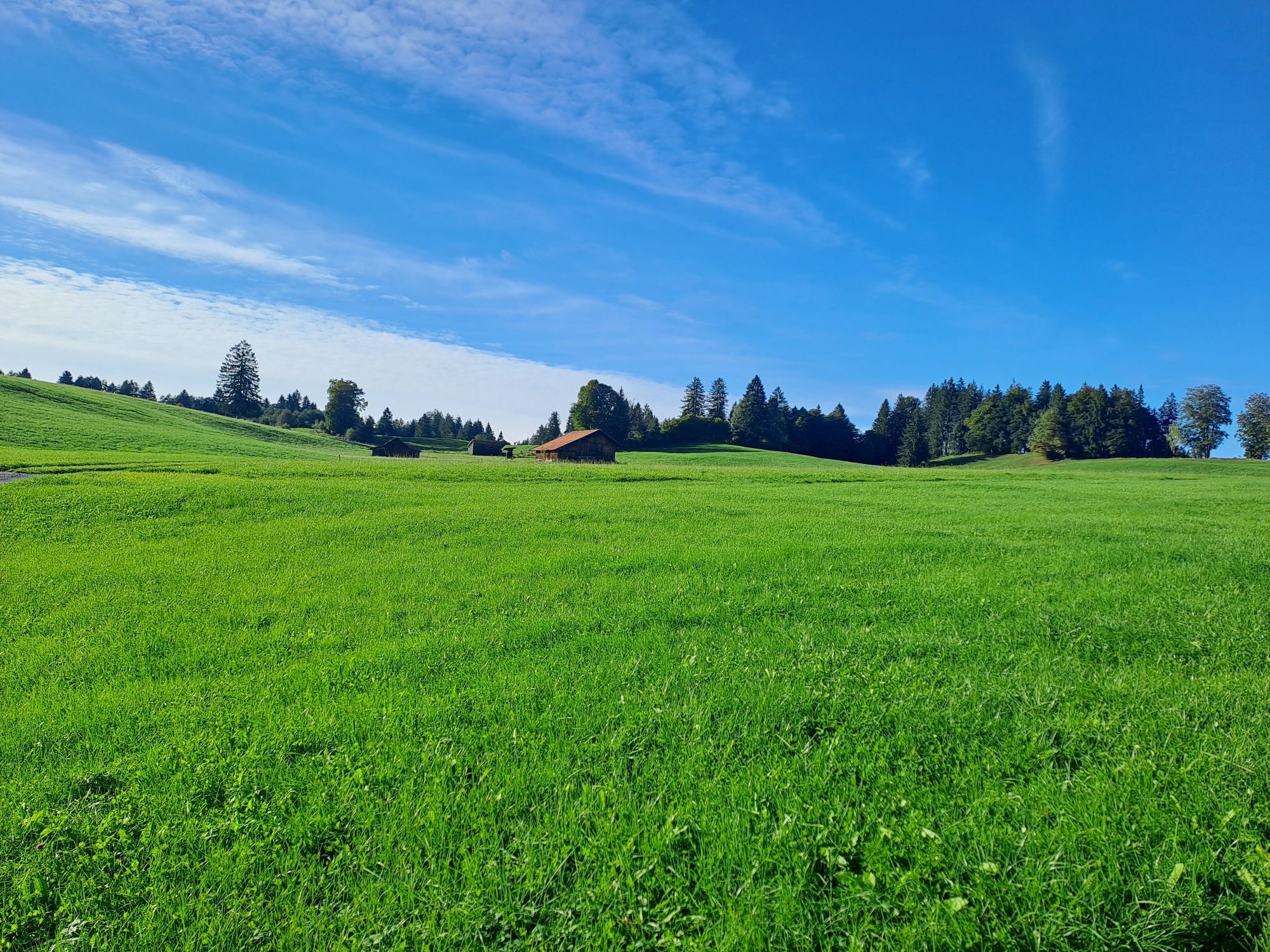
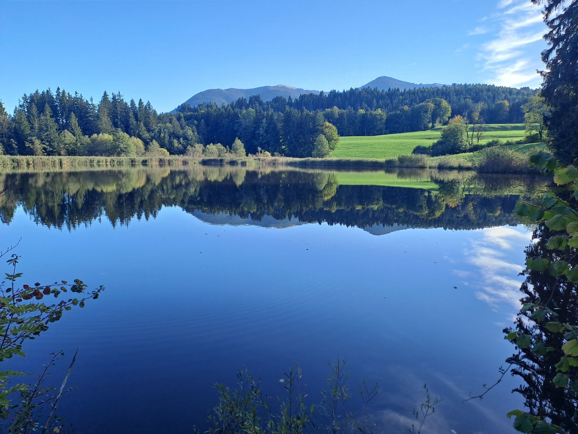
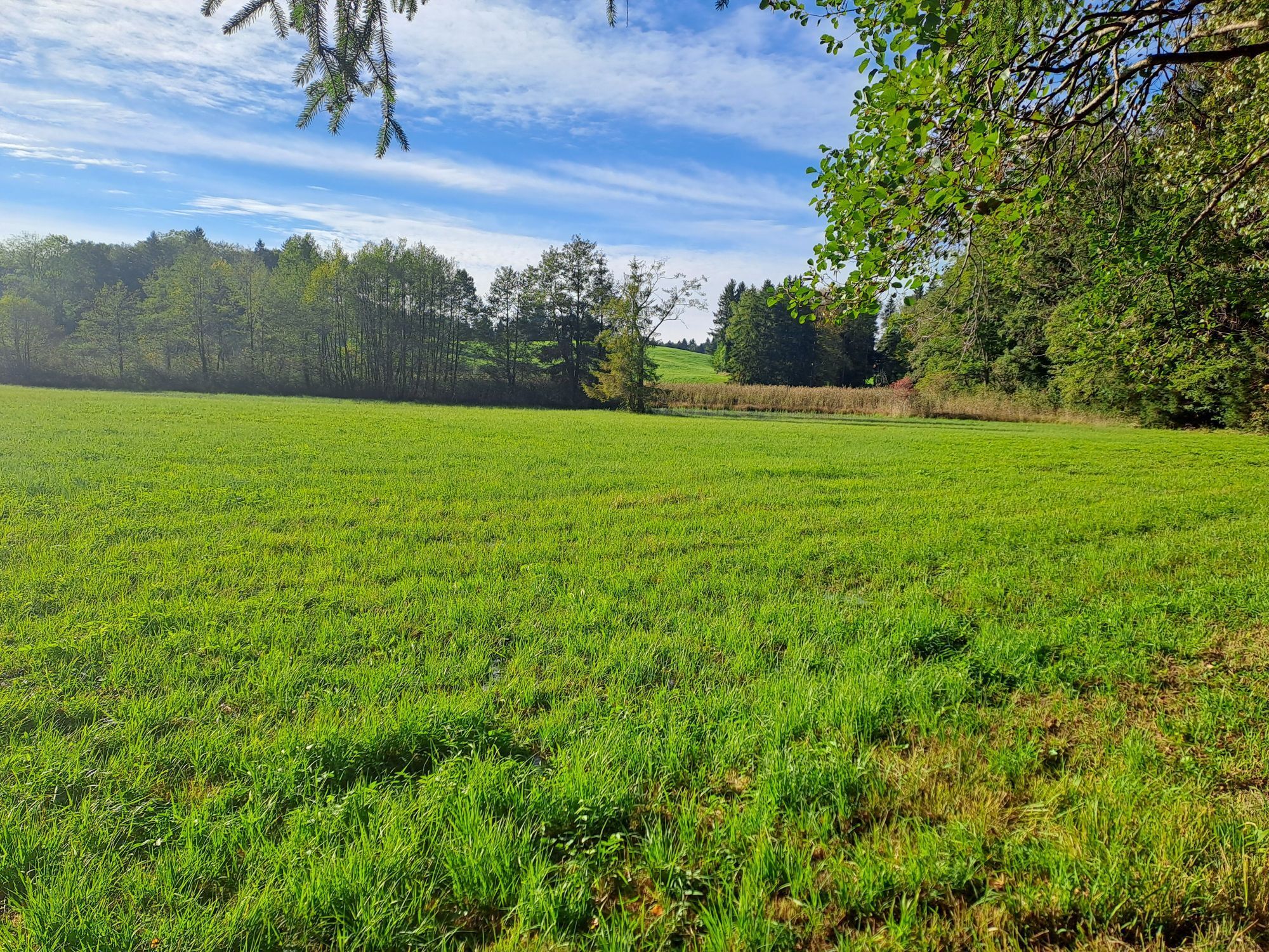
 © Jana PenzVytvořeno dne 30.08.2025
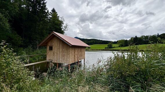 © Jana PenzVytvořeno dne 30.08.2025


Once you have reached the small ascent to "Wäldle," the moor spa town of Bad Kohlgrub lies at your feet and you enjoy a magnificent view of the Ammergau Alps. In Sprittelsberg stands a wooden chapel with...
Once you have reached the small ascent to "Wäldle," the moor spa town of Bad Kohlgrub lies at your feet and you enjoy a magnificent view of the Ammergau Alps. In Sprittelsberg stands a wooden chapel with a Mother of God from Altötting. At the height of Steigrain, you get another wonderful view of the village or towards the local mountain, the "Hörnle."
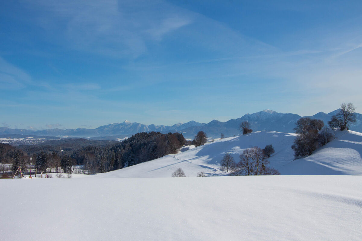
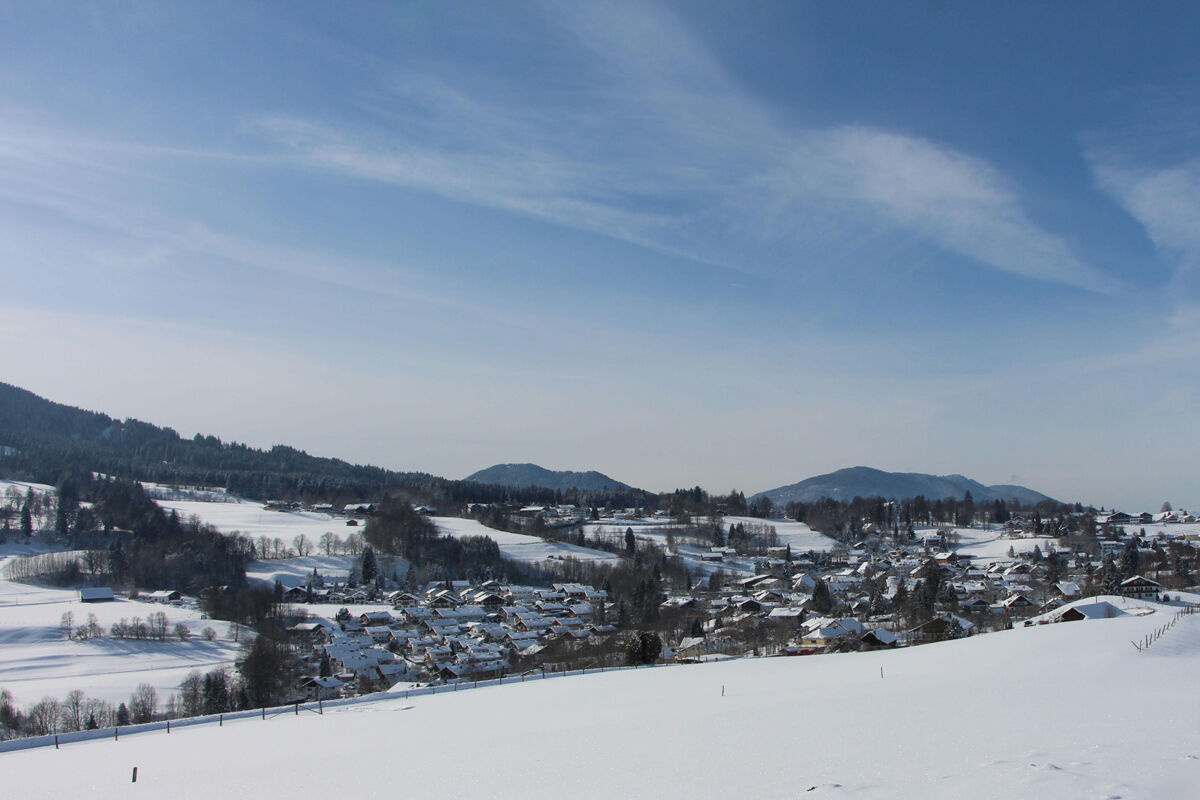
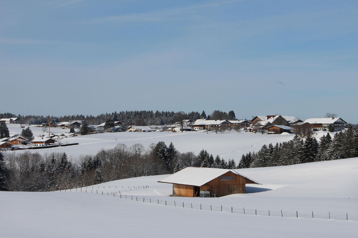
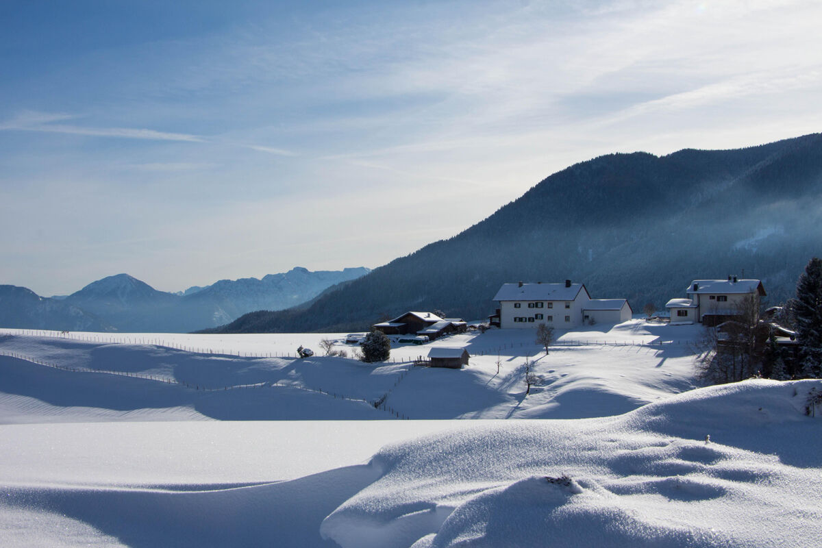
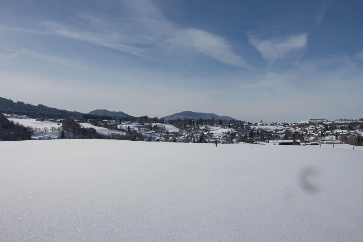

You start at the sports center in Bad Kohlgrub and go up to "Wäldle". Continue east towards the "Rantscher Weiher". On the left at the pond, you then walk slightly uphill through a small forest and reach the district "Sprittelsberg" with a beautiful view of Staffelsee. Back to Bad Kohlgrub, you return on the road via "Grub" and "Steigrain" back to Bad Kohlgrub.
Ano
With the perfect equipment, your personal winter day in the Ammergau Alps Nature Park will be unforgettable. You can rent suitable winter equipment such as crampons (spikes for hiking boots), hiking poles, snowshoes, sleds, or cross-country skis at our rental stations:
Tourist-Info Bad Bayersoien
Address: Dorfstr. 45 - 82435 Bad Bayersoien
Tel.: +49 8845 7030 620
Drahtesel Rental Lukas Spindler / Sporthaus Mühlstraßer
Address: Theaterstraße 2 - 82487 Oberammergau
Tel.: +49 172 7228493
www.sport-muehlstrasser.de/
www.bikeverleih-oberammergau.de
Sports Center Papistock
Address: Bahnhofstraße 6a, 82487
Tel.: +49 8822 4178
www.sportzentrale-papistock.de
In case of emergency, please contact the nearest rescue control center. Regardless of location, you can reach it nationwide at the phone number 112.
A95, via Murnau (St2062) to Bad Kohlgrub
Train stop: Kurhaus Bad Kohlgrub
Murnau - Bad Kohlgrub - Oberammergau
Guests of the Ammergau Alps region travel free with the electronic guest card or KönigsCard by bus.
Parking lot P5 - Sports center, Bad Kohlgrub
2
After this winter hike, you can refresh yourself with mulled wine or non-alcoholic punch at the winter bar in the center of Bad Kohlgrub. Mrs. Weisser opens her bar from December 27 to January 5 directly at her wine shop.
Oblíbené prohlídky v okolí
- 4.5
Mountain route - Teufelstättkopf
středníTuristika 10.8 km - 4.6
Mountain route - Laber via Soilasee
světloTuristika 11.8 km - 4.7
Murnauer Moos
světloTuristika 11.5 km - 4.6
Laber - Ettaler Mandl
světloTuristika 9.10 km - 4.5
Mountain tour - Kofel
středníTuristika 11.3 km - 4.6
Osterfeuerkopf
středníHorská turistika 6.40 km - 4.5
Notkarspitze
středníTuristika 10.2 km - 4.0
Hut hike - Hörnle Hut
světloTuristika 6.20 km - 3.5
Hörnle
středníHorská turistika 9.23 km - 4.5
Mountain route - Hörnle round
světloTuristika 10.8 km
Pěší turistika a stopování


Nenechte si ujít nabídky a inspiraci pro vaši příští dovolenou
Vaše e-mailová adresa byl přidán do poštovního seznamu.