


"Forest and meadows" - CR2

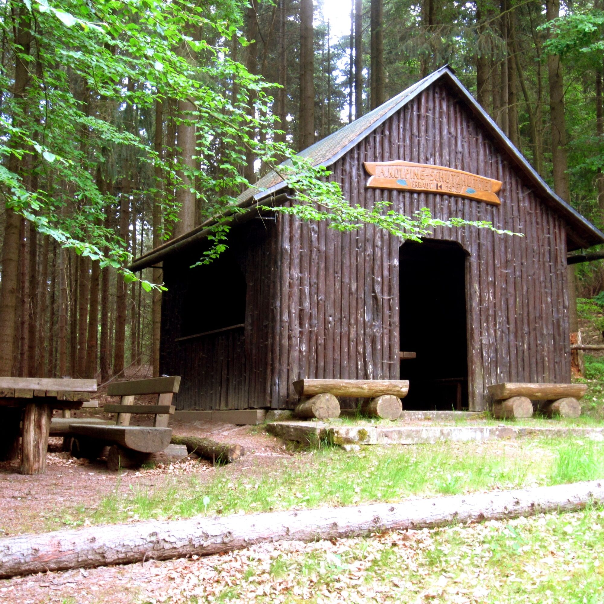
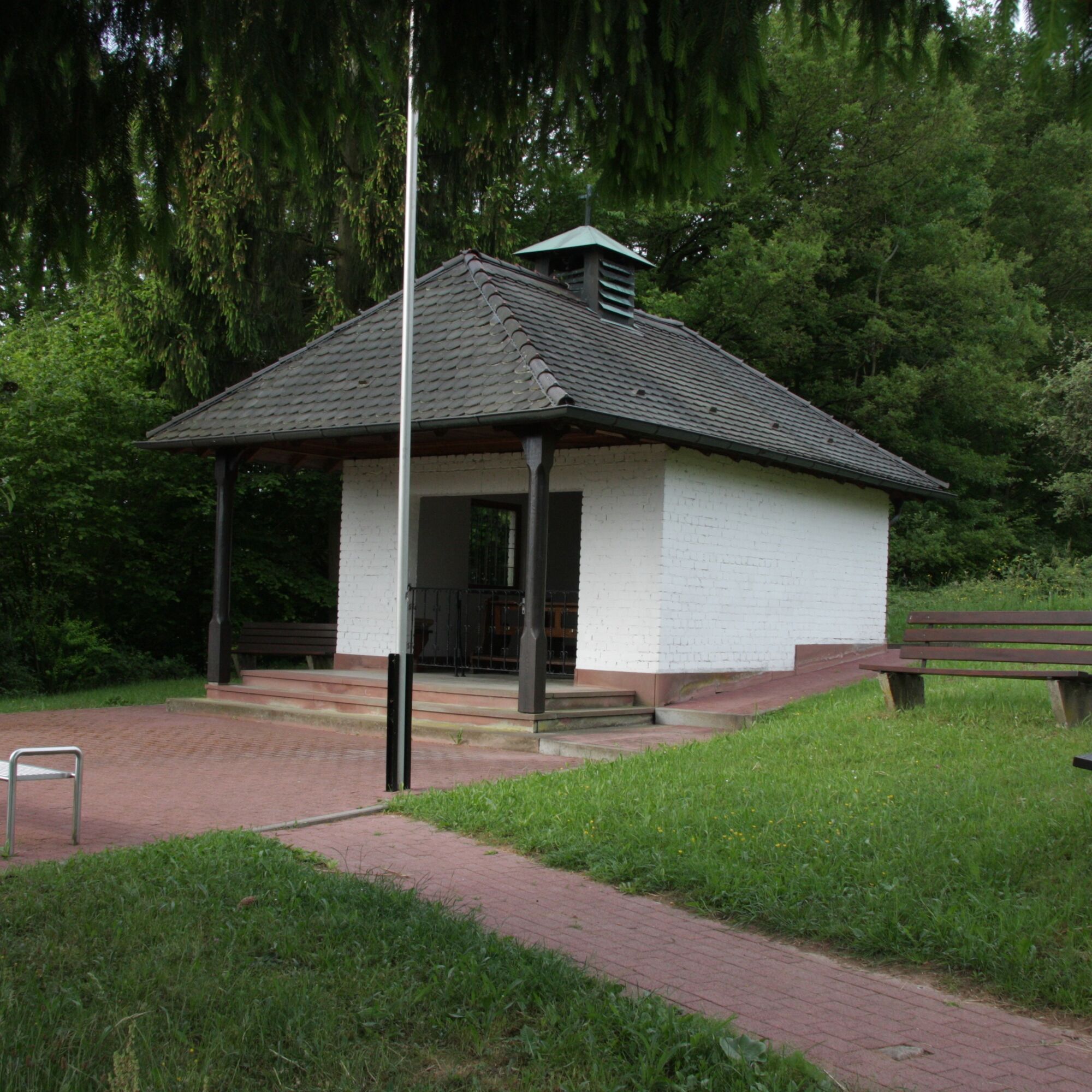
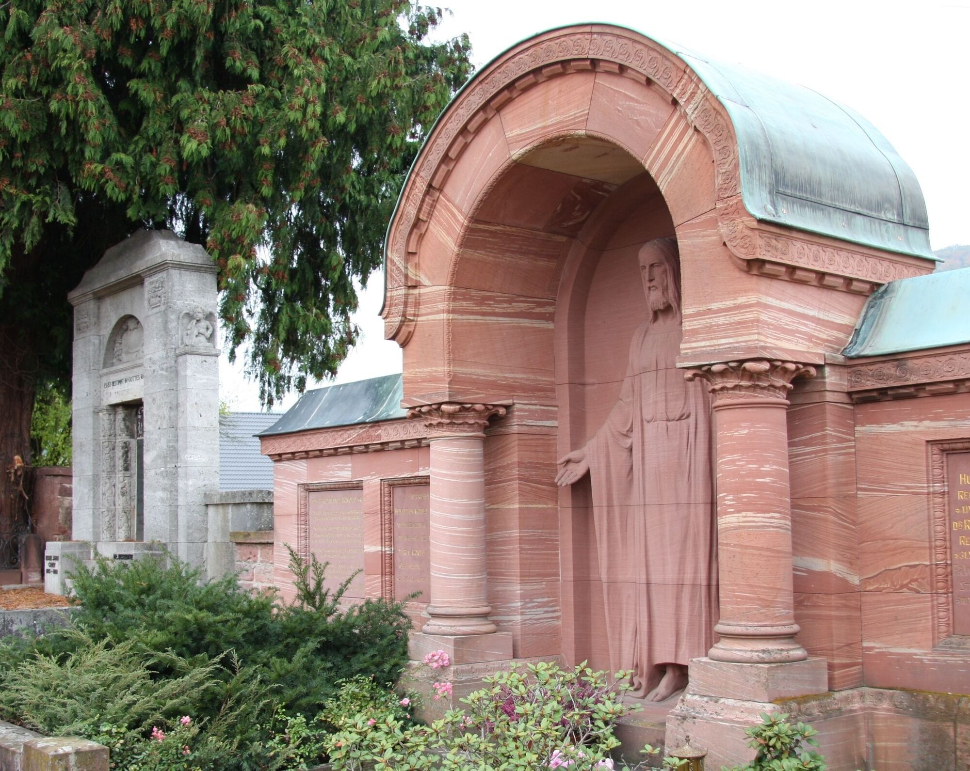
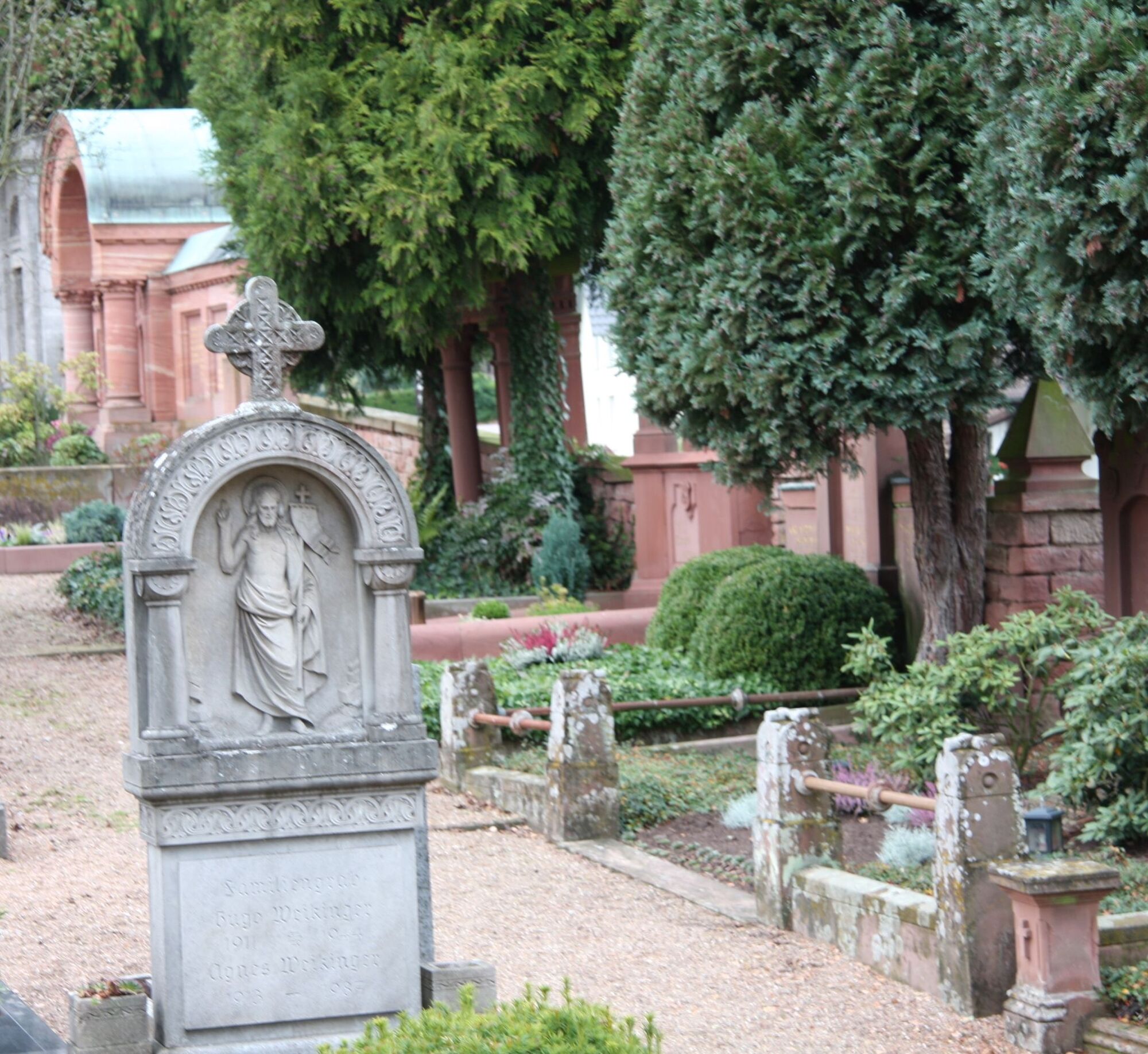
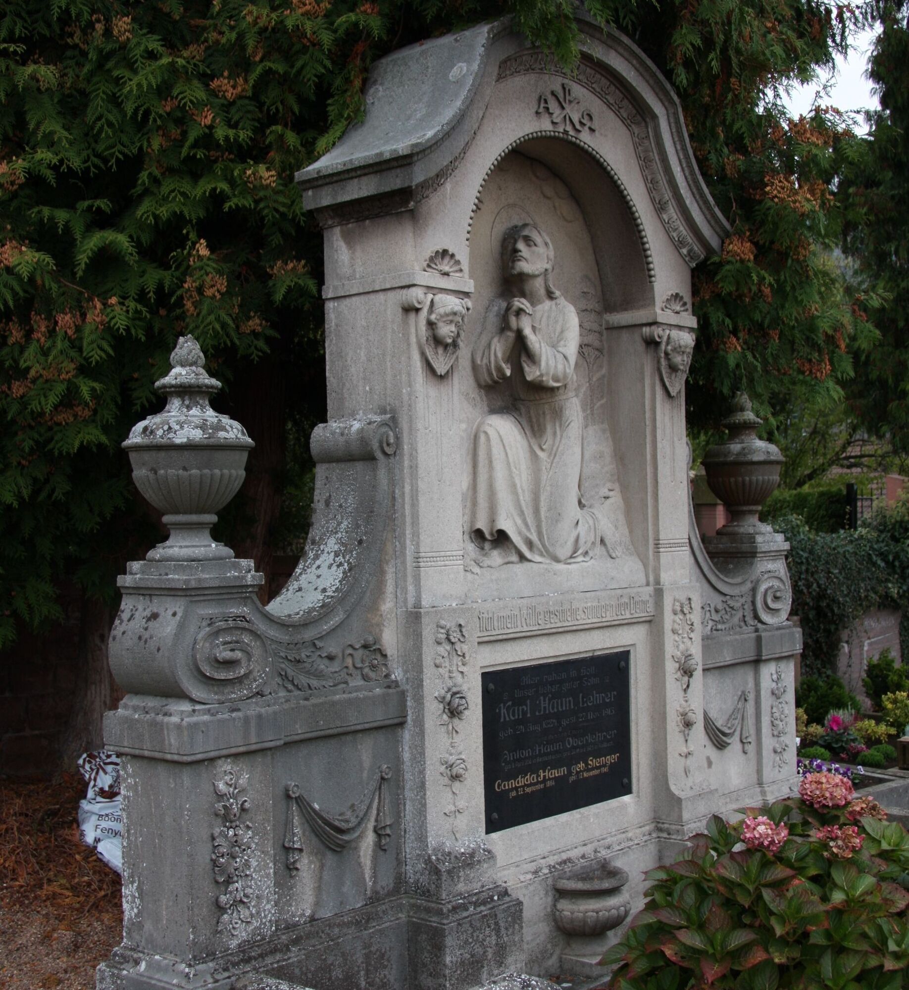
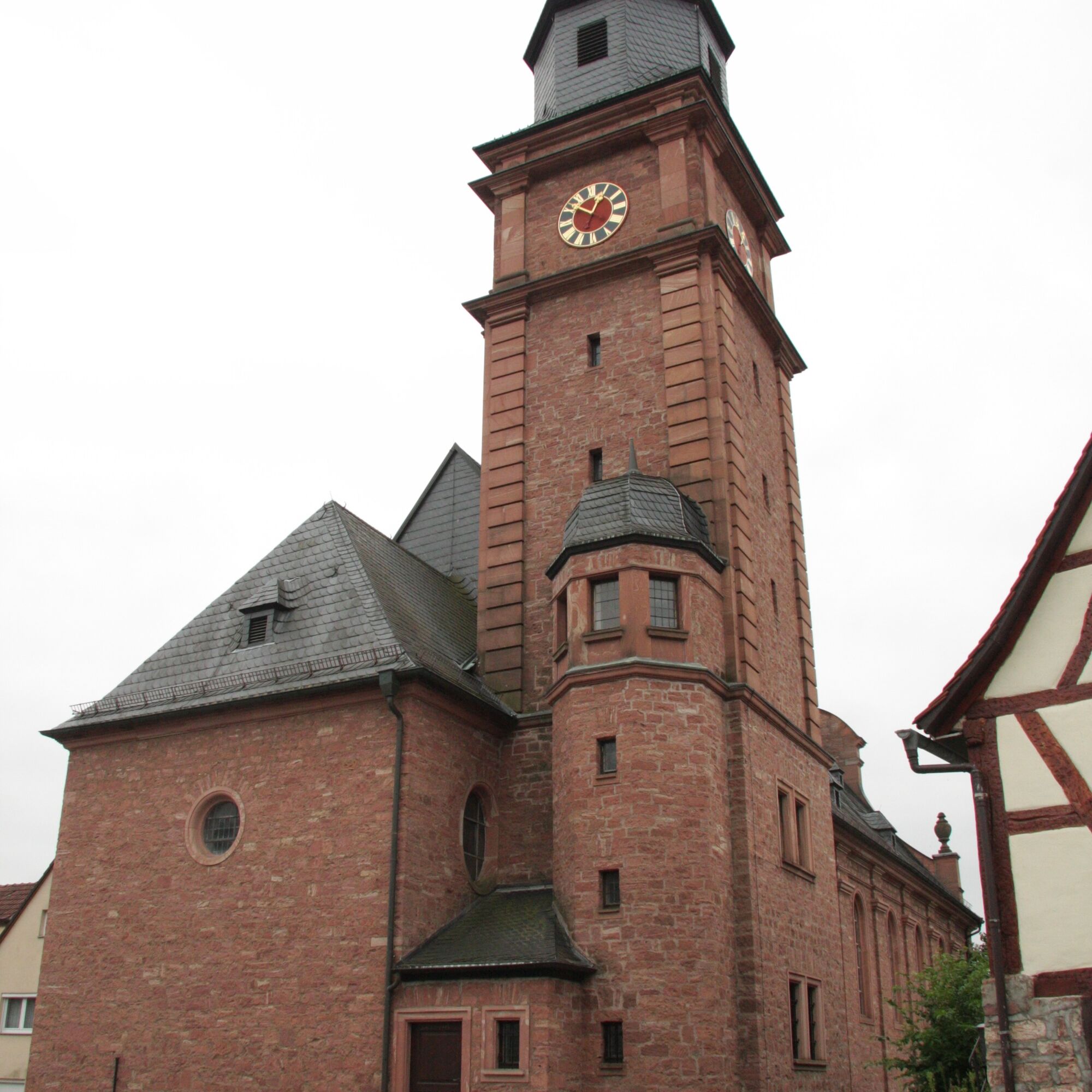
From the public parking lot, past the Reistenhausen cemetery which is a listed monument and where you should definitely take some time, the path leads downhill and meets the hiking trail C3, which we follow to the left, but before the hollow path we leave it to the right and follow the field path past the last houses into the meadow valley. We stay on this path until the fork. There we go right, cross the Ullersbach and continue on the forest path until it merges into a wide gravel road. We follow the road to the left uphill to a crossroads, which we cross and continue straight uphill. The path leads to a crossing path, which we follow to the right to the next path and hold left uphill on this. We reach the Kolping shelter standing above on the right, which invites to a rest. There we reach hiking trail C2, which we follow downhill, but where it turns sharply left, we stay on the gravel road, continuing straight uphill at the junction until we reach the Marien hiking trail at a hairpin turn, which, as with R1 with a stop at the chapel, we follow downhill to the village and past St. Joseph's Church via Bildstraße with the houses of the stone barons to the starting point.
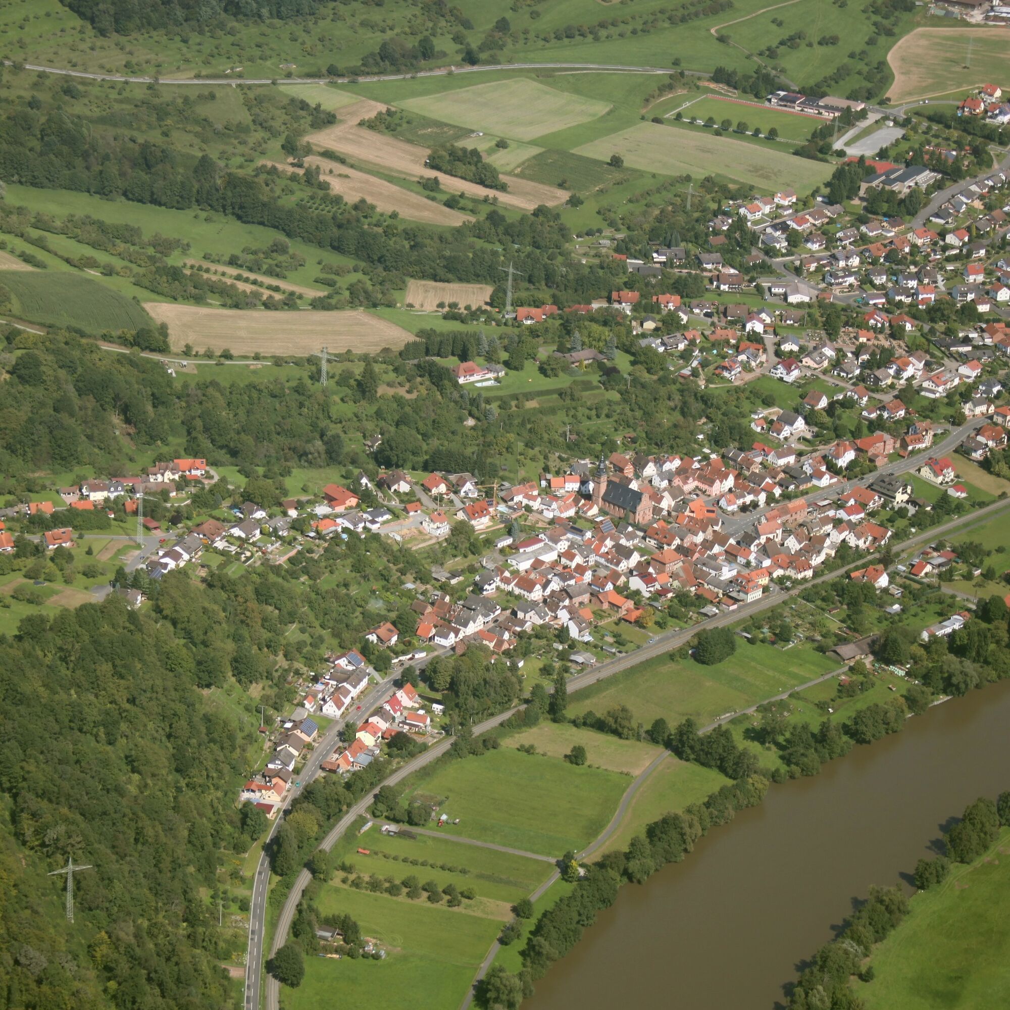
Coming from Würzburg via the A3 (exit Wertheim or Marktheidenfeld and then on the right bank through the South Spessart, coming from Frankfurt via Miltenberg towards Wertheim and crossing the Main river in Freudenberg, you are already in Collenberg-Kirschfurt and drive 4 km further to the district of Reistenhausen.
By train from the direction of Miltenberg or Wertheim to Collenberg station, from there a 5-minute walk to the Reistenhausen cemetery
Car parking spaces at the cemetery in Reistenhausen
Oblíbené prohlídky v okolí
-
"Of Clay, Stones and Shards"
středníTuristika 8.31 km -
5.0
Dorfprozelten: Kollenburg-Chapel-Route
středníTuristika 11.8 km -
4.0
European cultural route: "From Hecke to Häcke in Hebboch"
středníTuristika 10.2 km -
5.0
Rüdenau mountain hike R1
světloTuristika 13.6 km -
3.0
Franconian Red Wine Hiking Route - 4th stage from Erlenbach to Klingenberg
světloTuristika 4.08 km -
5.0
Roman Route in Miltenberg M1
středníTuristika 15.2 km -
Miltenberg - Engelberg Monastery - Kleinheubach Castle - round trip
středníTuristika 12.6 km -
5.0
Klingenberg: Hiking Trail Schnepfe
středníTuristika 5.03 km -
Nibelungensteig - 6th stage from Miltenberg to Amorbach
heavyTuristika 13.2 km -
4.0
Elsenfeld district Rück: Via Eichelsbach and the Himmelthal monastery through the vineyards back to the car park in Churfranken
heavyTuristika 9.32 km

Pěší turistika a stopování


Nenechte si ujít nabídky a inspiraci pro vaši příští dovolenou
Vaše e-mailová adresa byl přidán do poštovního seznamu.