






Hiking - Schwaigrohr circular route
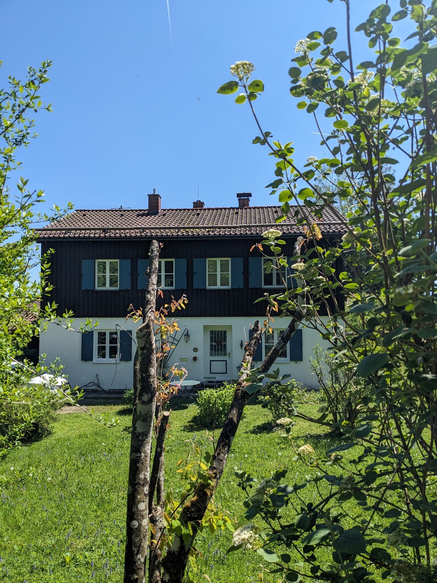



This pleasurable hiking trail at the foot of the Hinteres Hörnle (1538 m) leads through an enchanted forest past covered resting places, through flower-covered meadows, over a roaring mountain stream. The mossy ground is crossed on a boardwalk. At the starting point in Grafenaschau, the Cafe Habersetzer invites you to stop by (pay attention to opening hours).
In case of emergency, please contact the nearest emergency control center. Regardless of your location, you can reach it nationwide by dialing 112.
The hiking and cycling trails described here primarily serve forest management; use them at your own risk (§ 14 para. 1 BWaldG).
From Munich via the A95 and St2062 as well as from Garmisch-Partenkirchen via the B2 and St2062
Bus stop: Grafenaschau Birkenallee
Bus line:
9621 Murnau - Seehausen - Grafenaschau
Guests of the "Blue Land" region as well as the "Ammergau Alps" can use a variety of bus lines and the train lines from Murnau to Oberammergau and from Uffing to Garmisch-Partenkirchen free of charge with the electronic guest card or the KönigsCard. Further information is available at: https://www.dasblaueland.de/Service/mobil
Hiking parking lot at the sports ground
Oblíbené prohlídky v okolí
- 4.4
Kuhfluchtwasserfälle
středníTuristika 1.32 km - 4.7
Mountain route - Laber via Soilasee
světloTuristika 11.8 km - 4.5
Mountain route - Teufelstättkopf
středníTuristika 10.8 km - 4.8
Schafkopf
světloTuristika 10.2 km - 4.6
Murnauer Moos
světloTuristika 11.5 km - 4.6
Laber - Ettaler Mandl
světloTuristika 9.10 km - 4.1
Mountain tour - Kofel
středníTuristika 11.3 km - 4.6
Mountain route - Heimgarten via Käseralm
středníTuristika 10.8 km - 3.3
Zur Kuhalm im Estergebirge
středníMountainbike 14.0 km - 4.5
Mountain route - Hörnle round
světloTuristika 10.8 km
Pěší turistika a stopování


Nenechte si ujít nabídky a inspiraci pro vaši příští dovolenou
Vaše e-mailová adresa byl přidán do poštovního seznamu.





