







14-peak route over the Nagelfluh chain
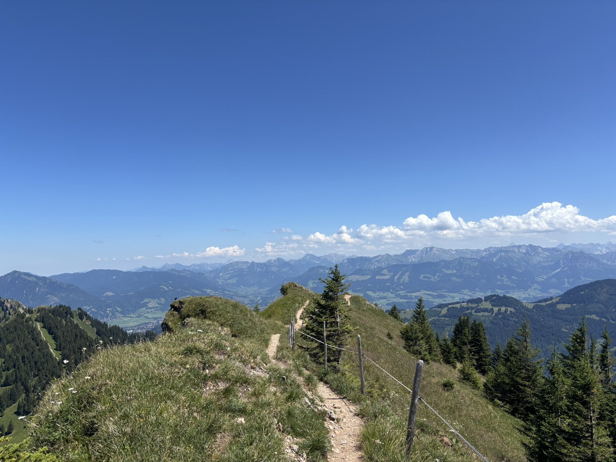
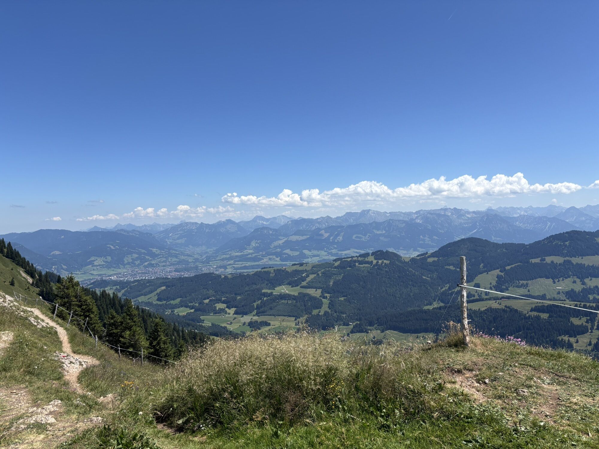
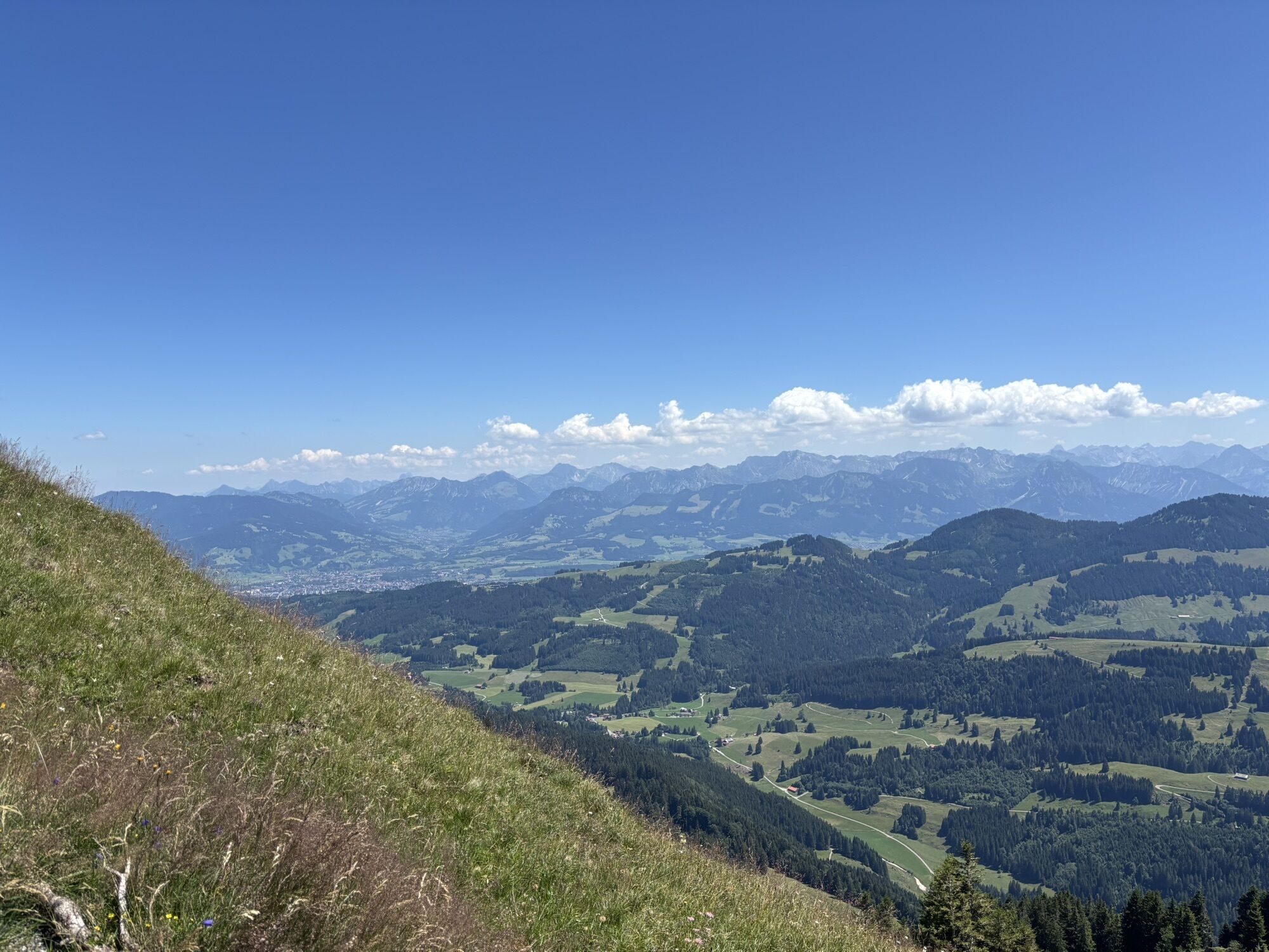
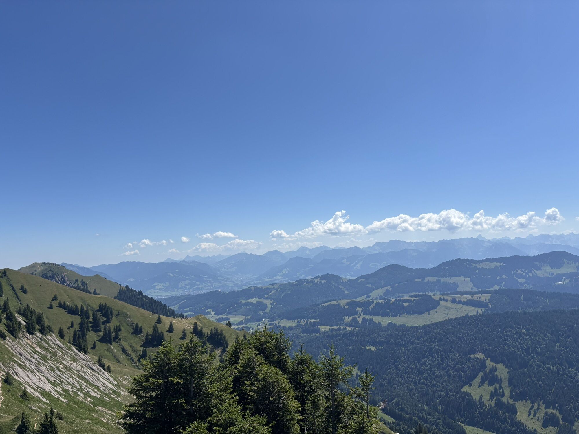
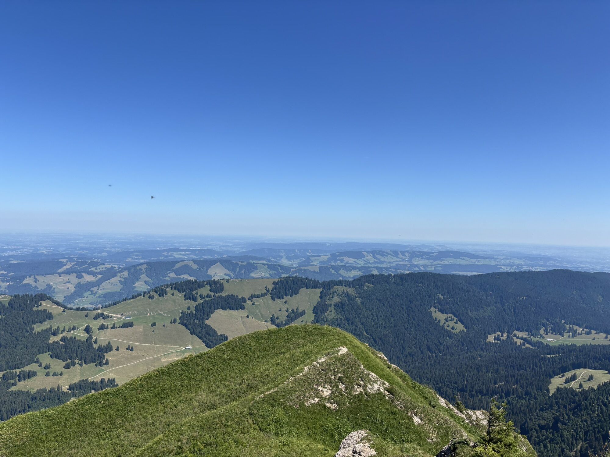
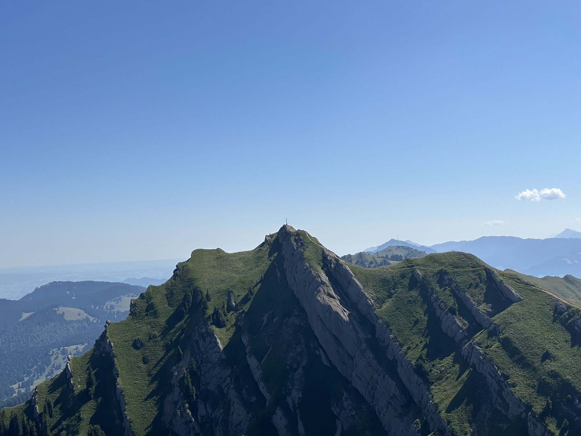
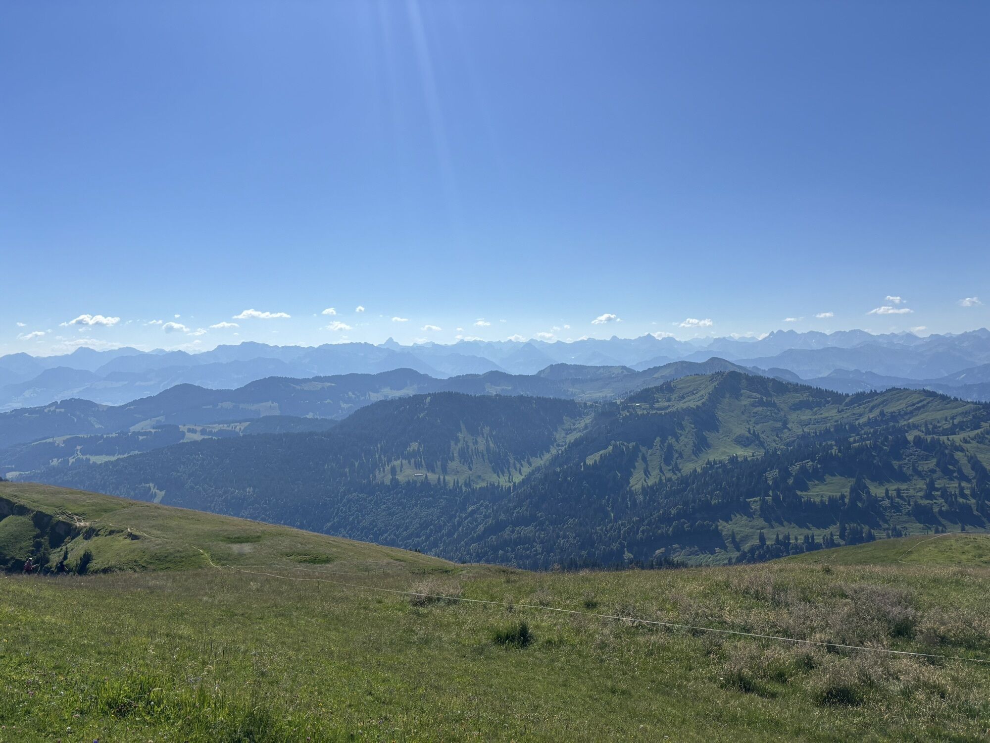
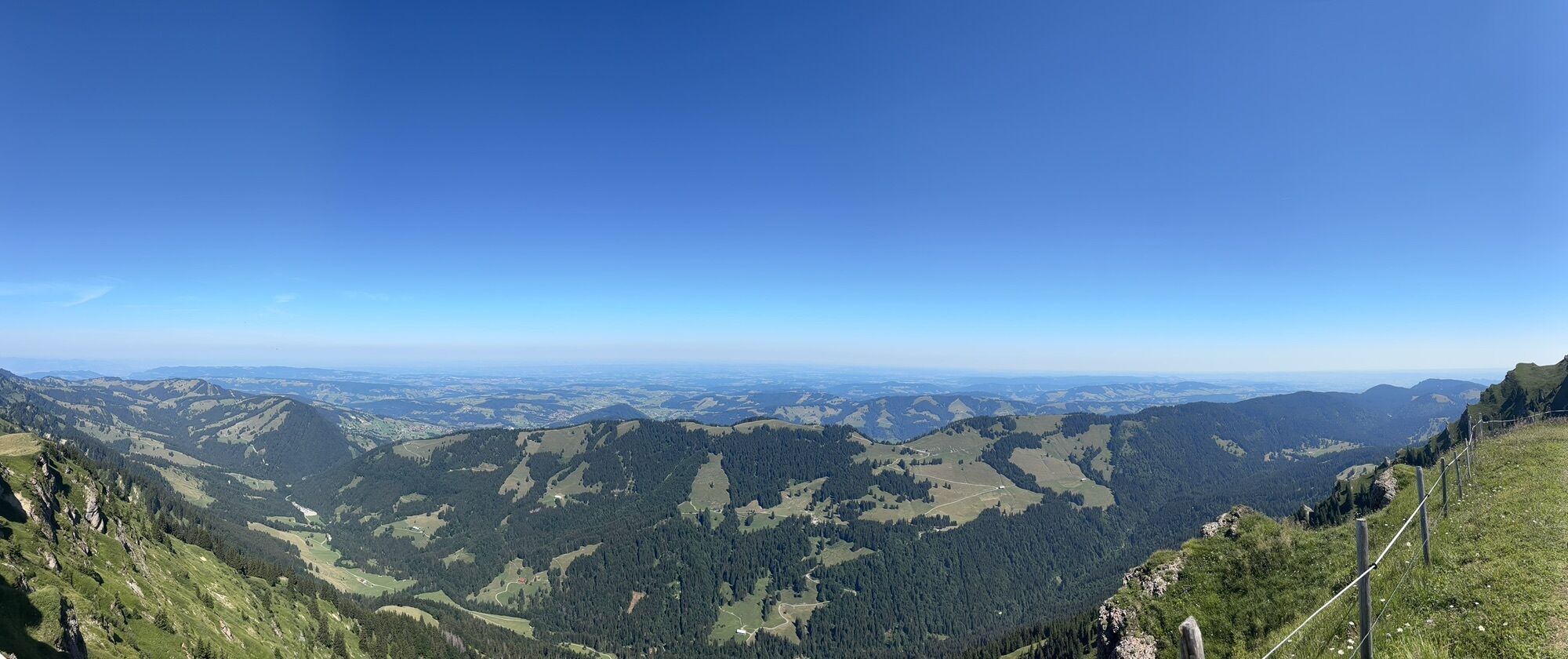
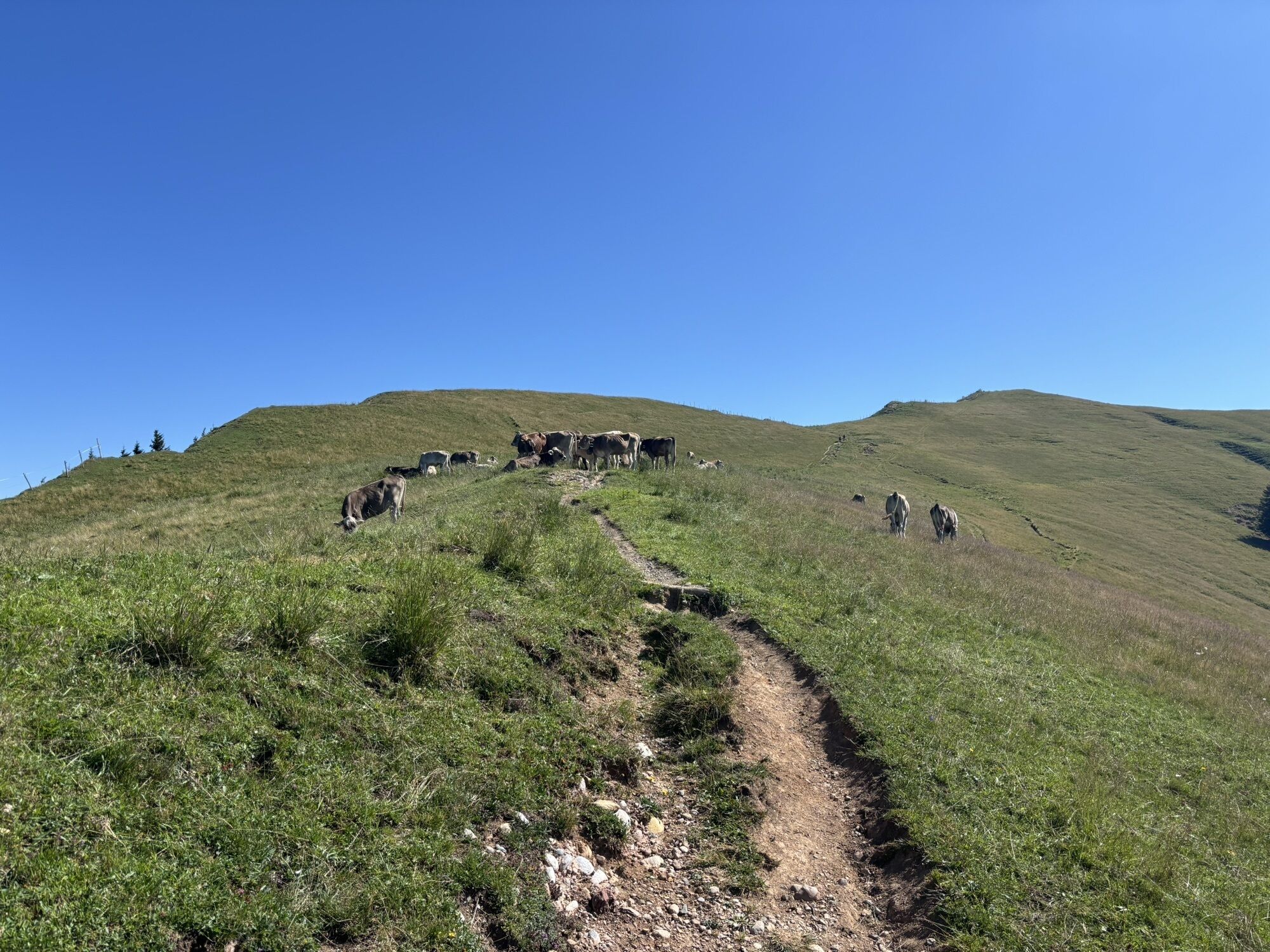
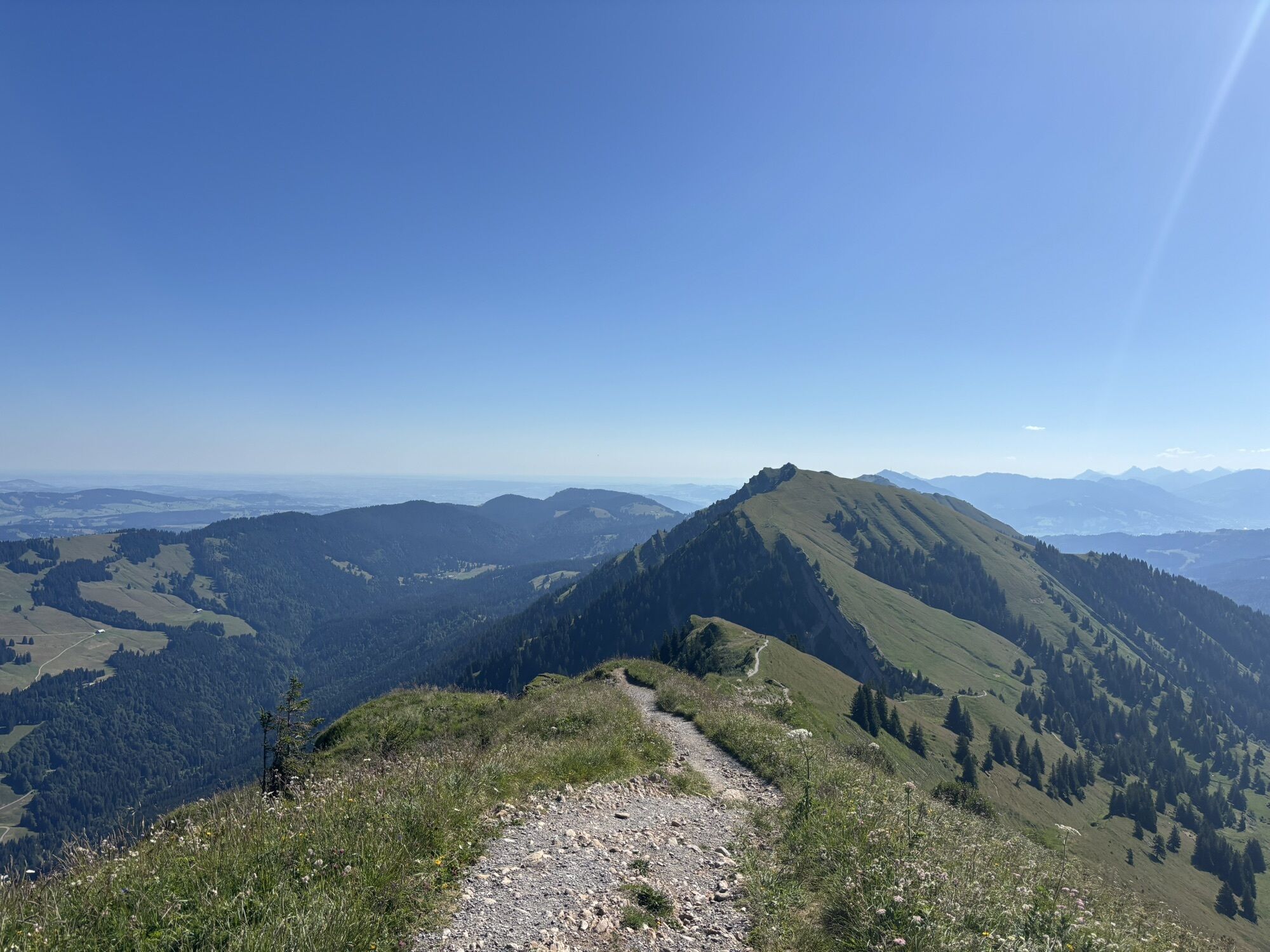
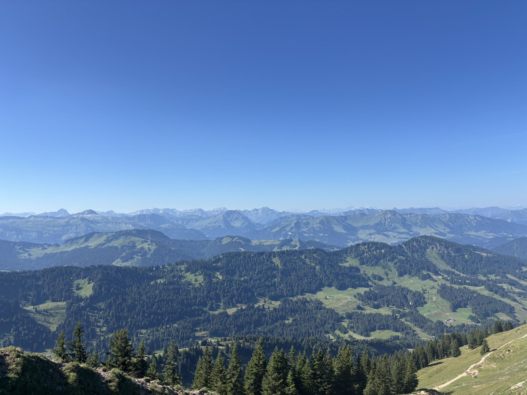
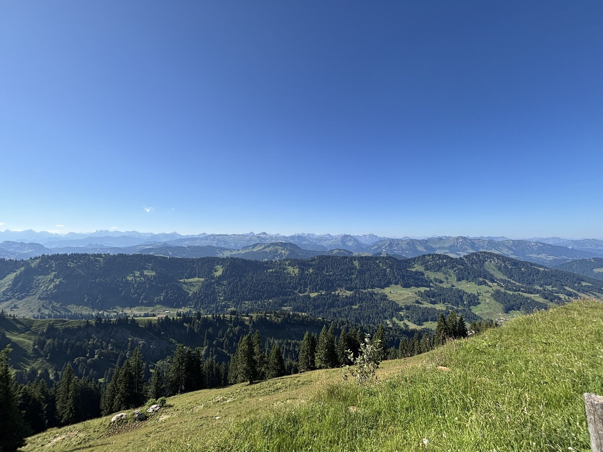
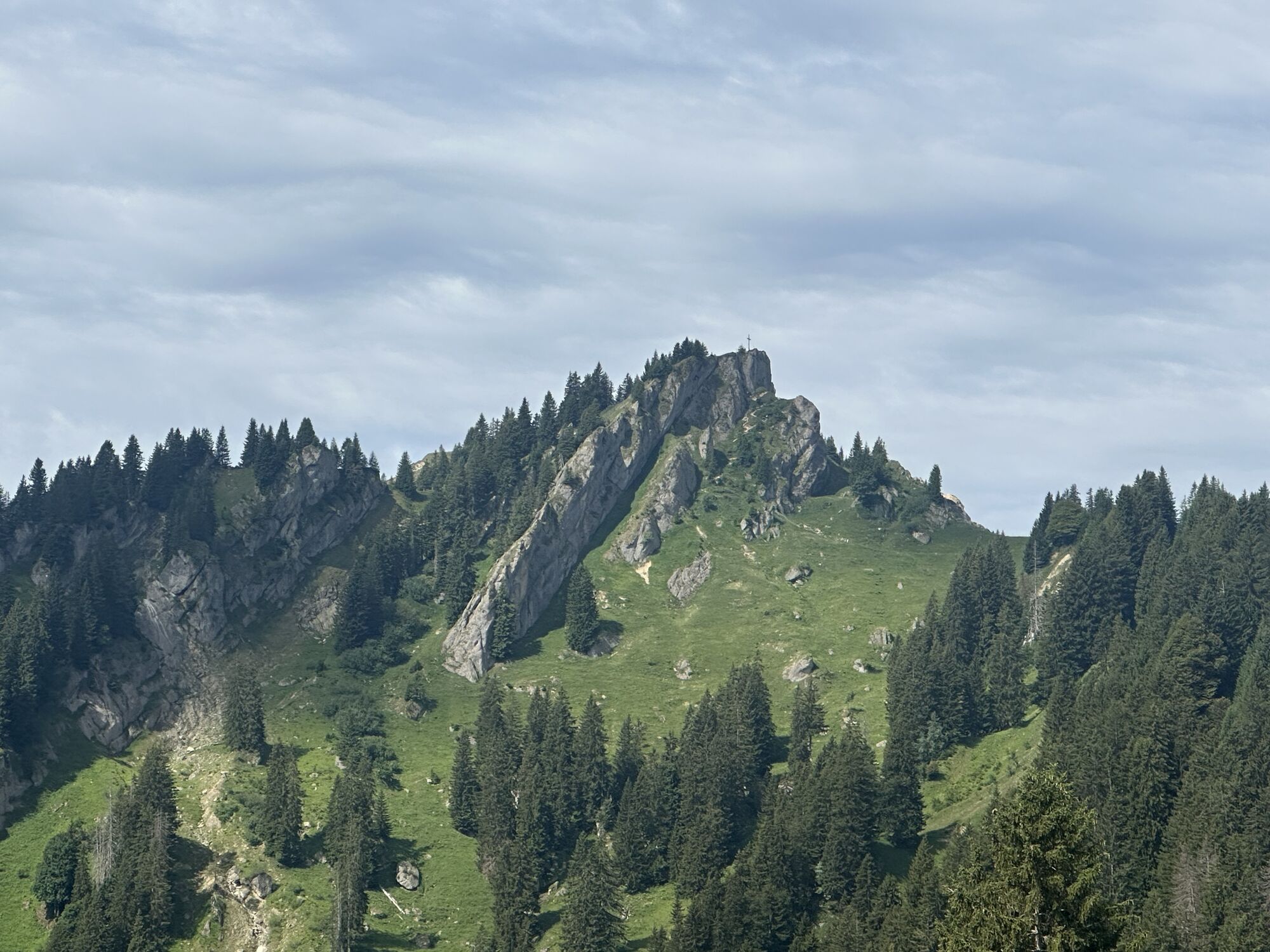
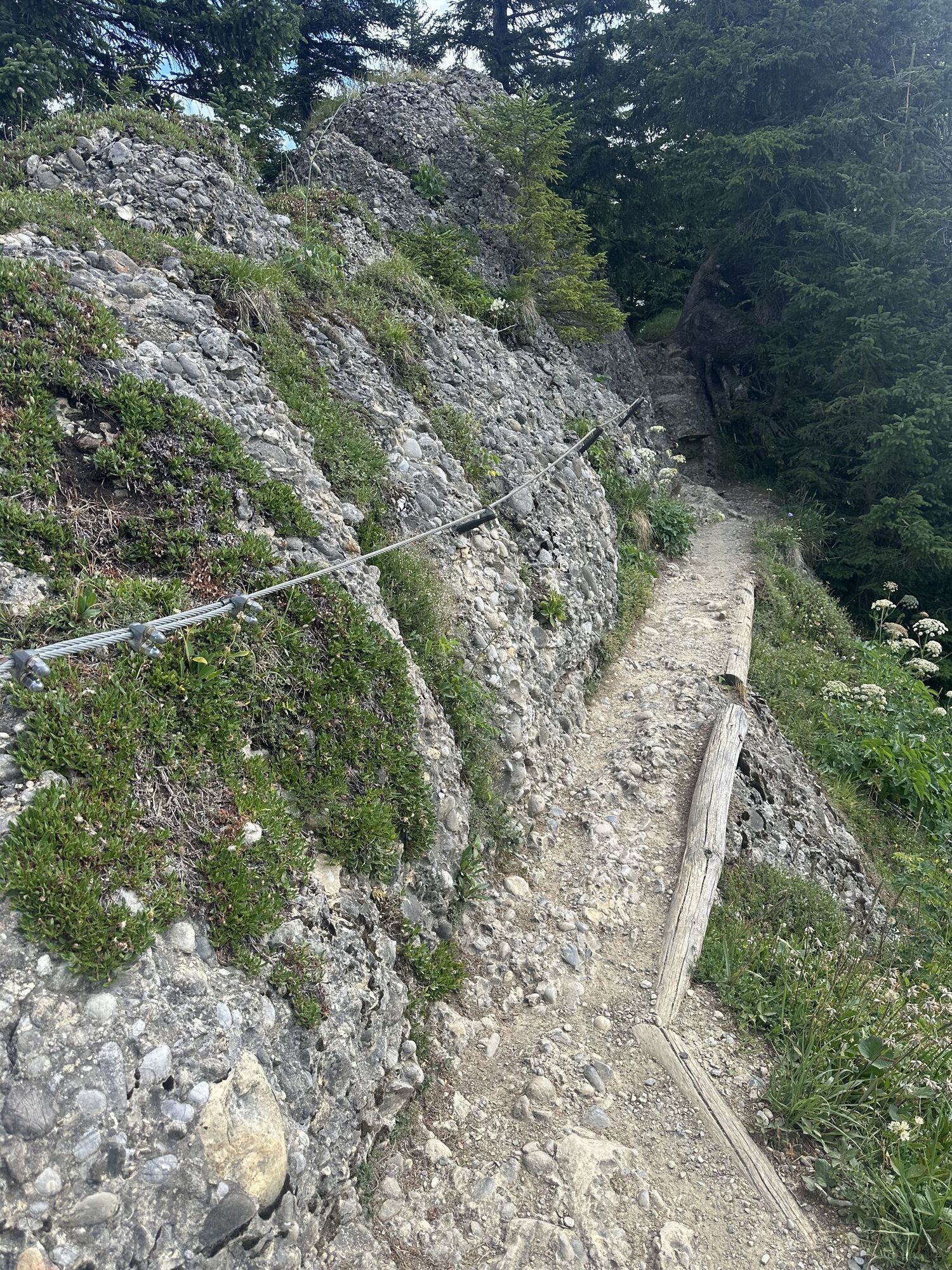
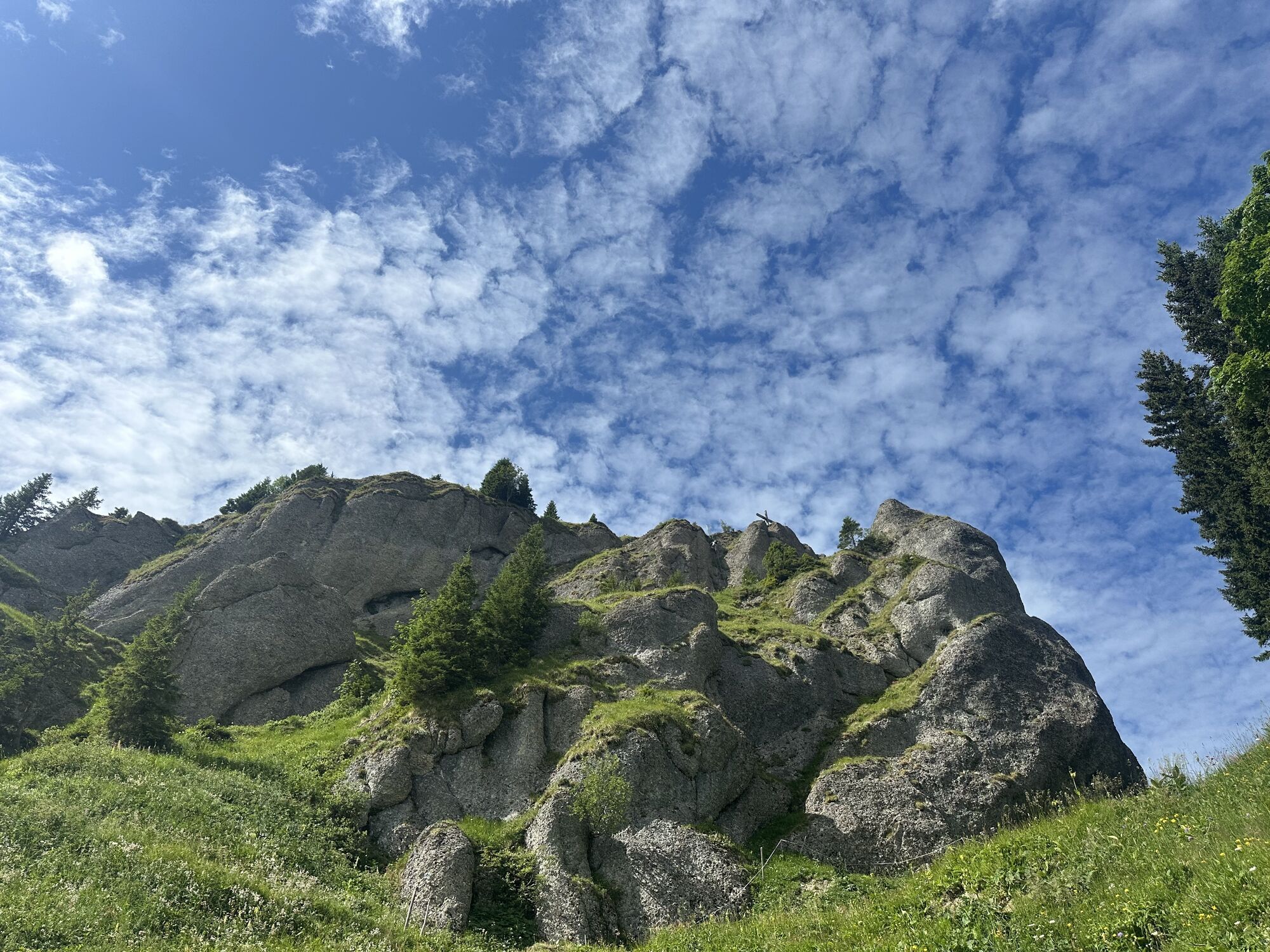
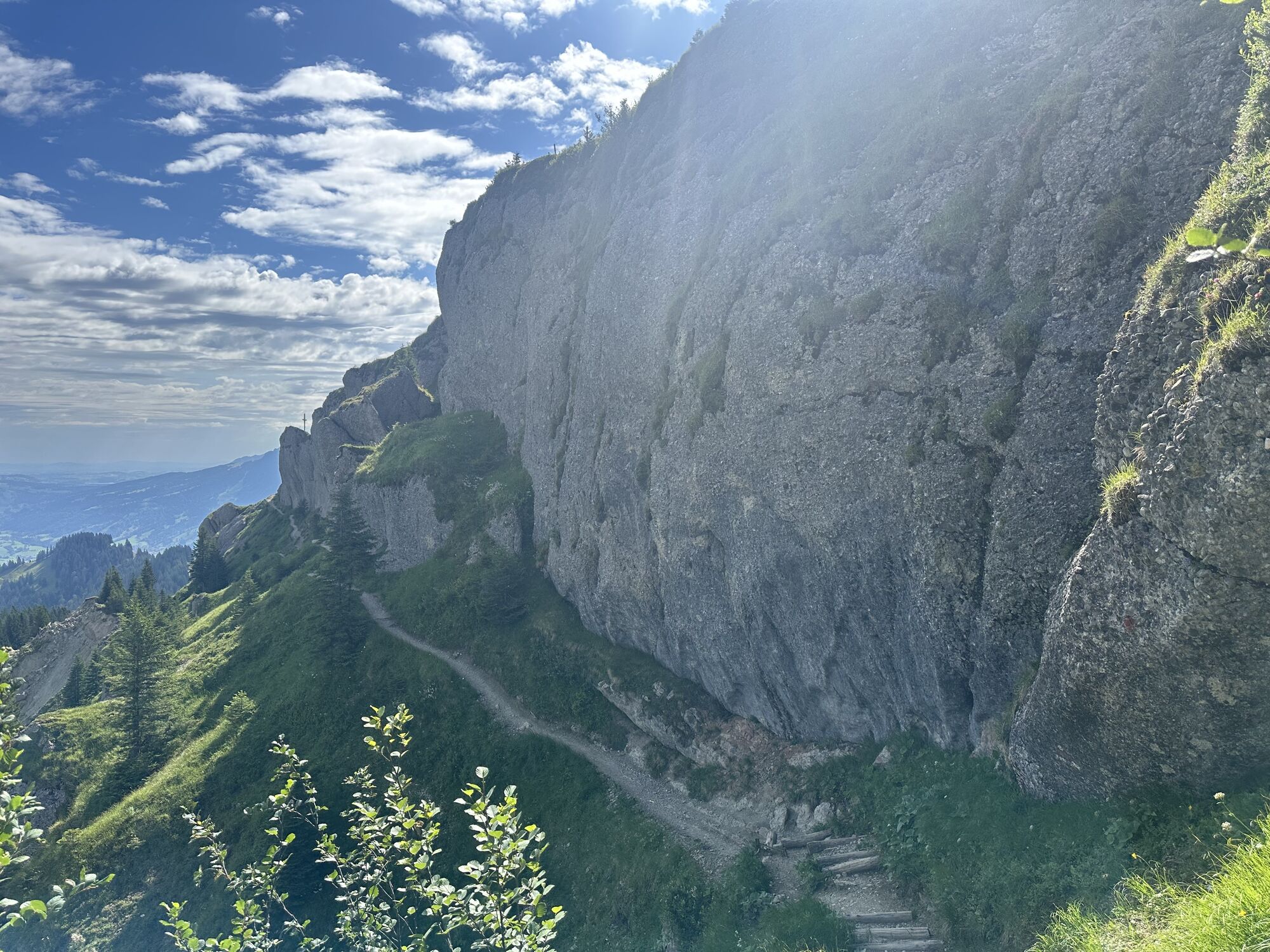
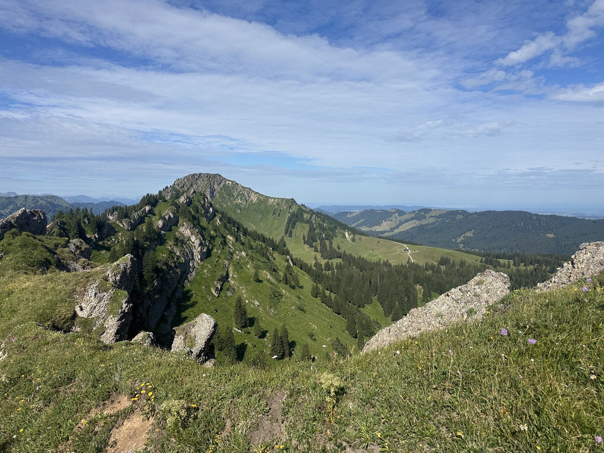
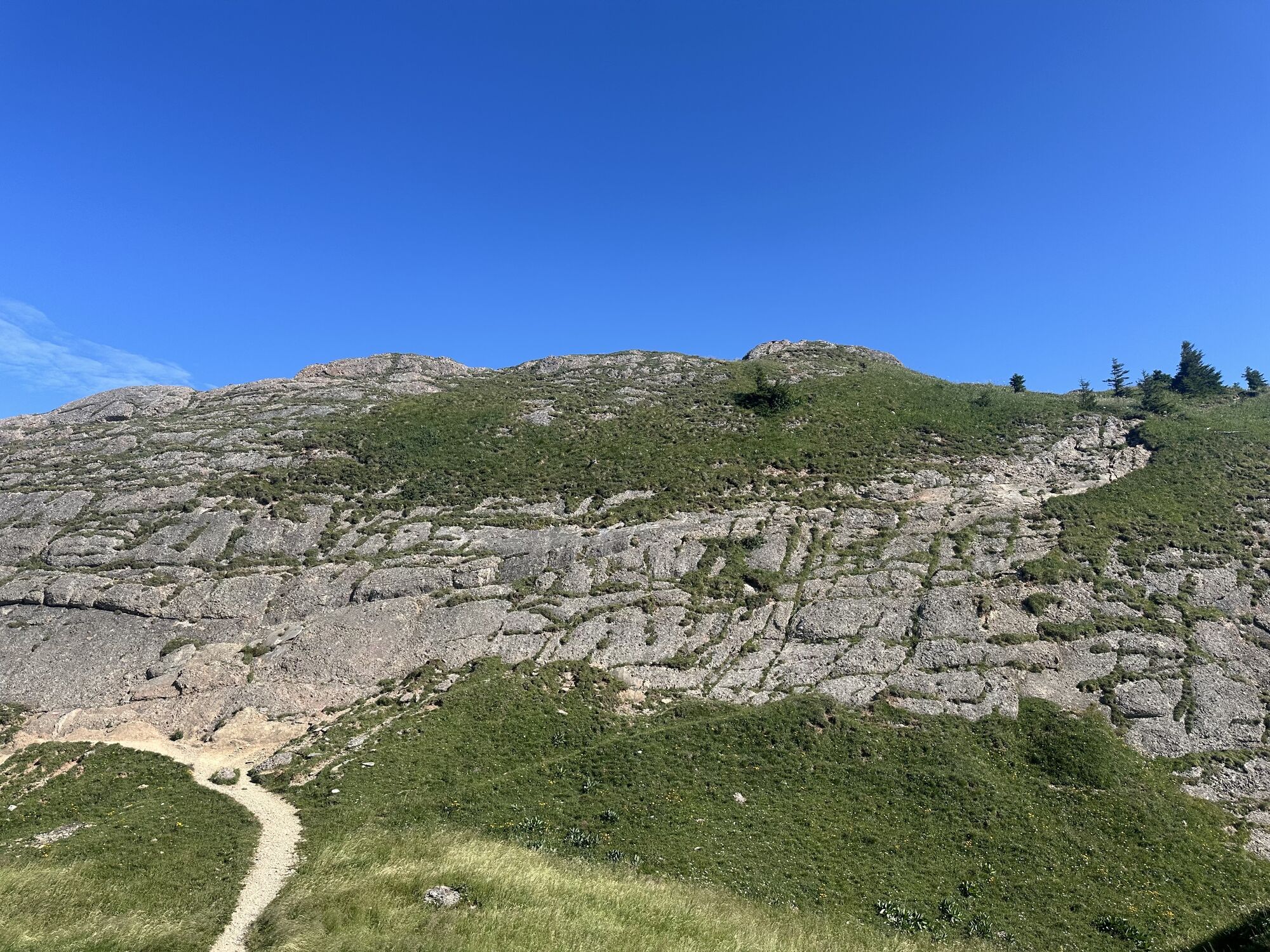
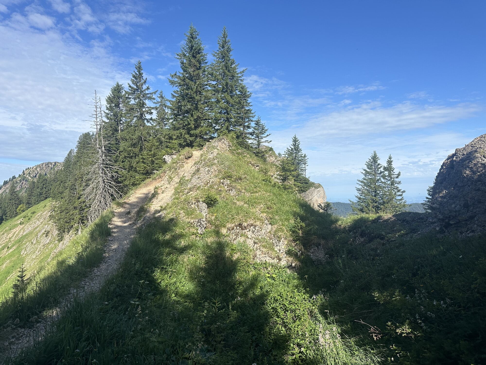
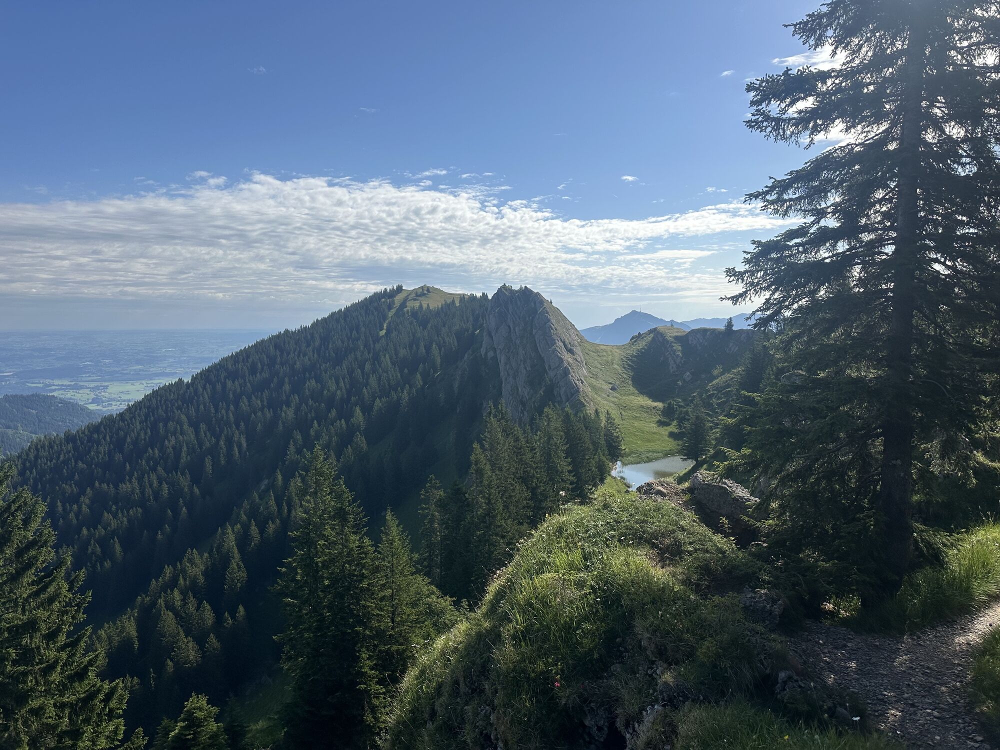
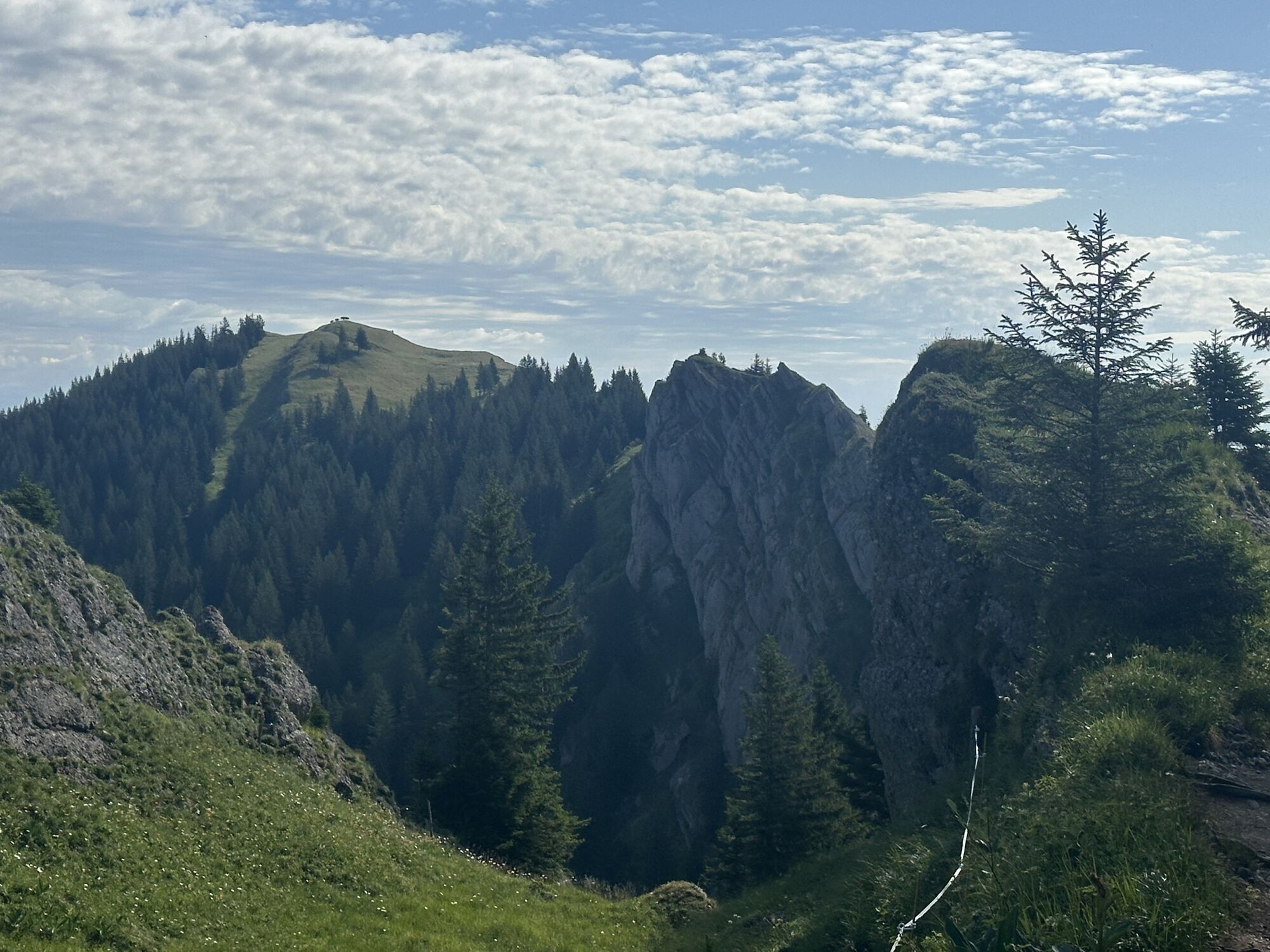
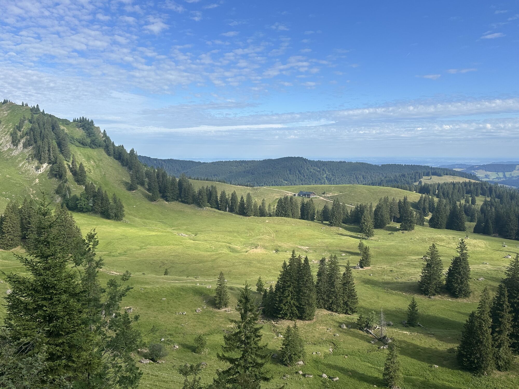
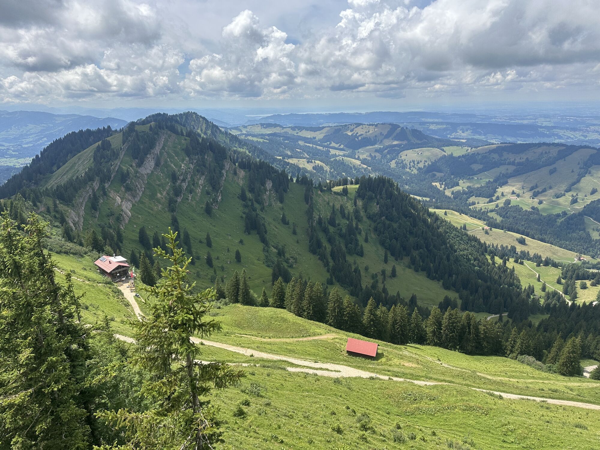
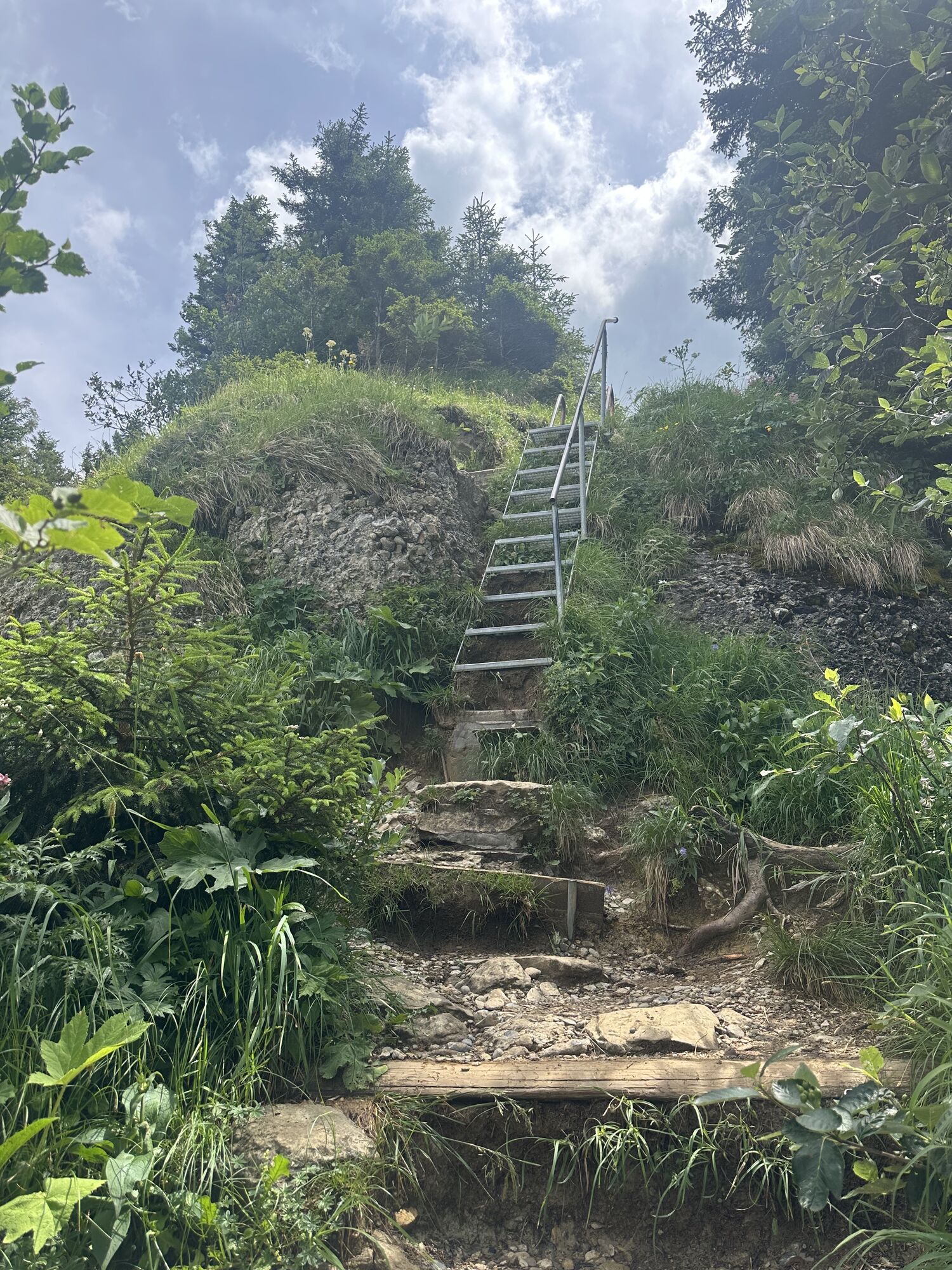
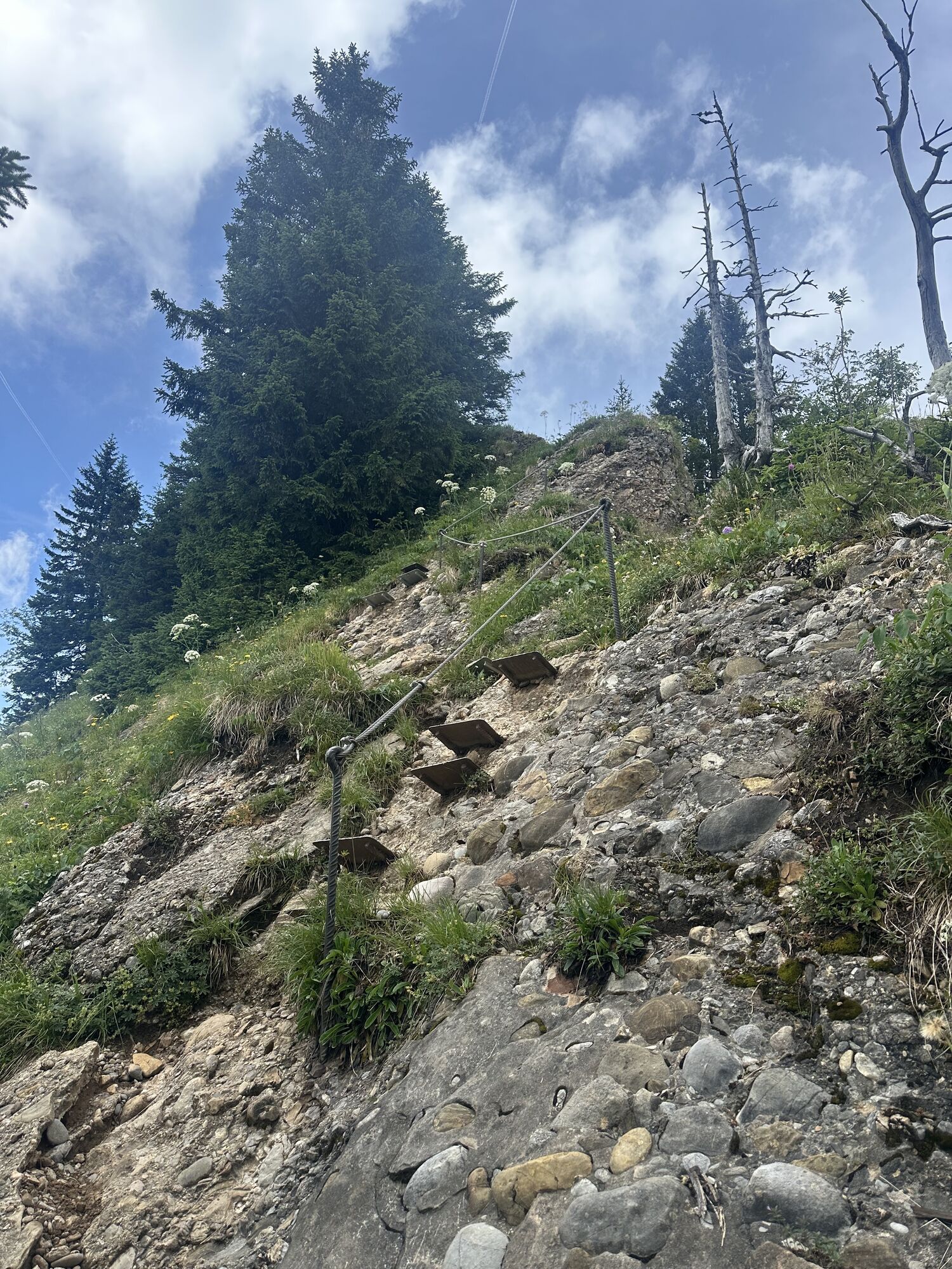
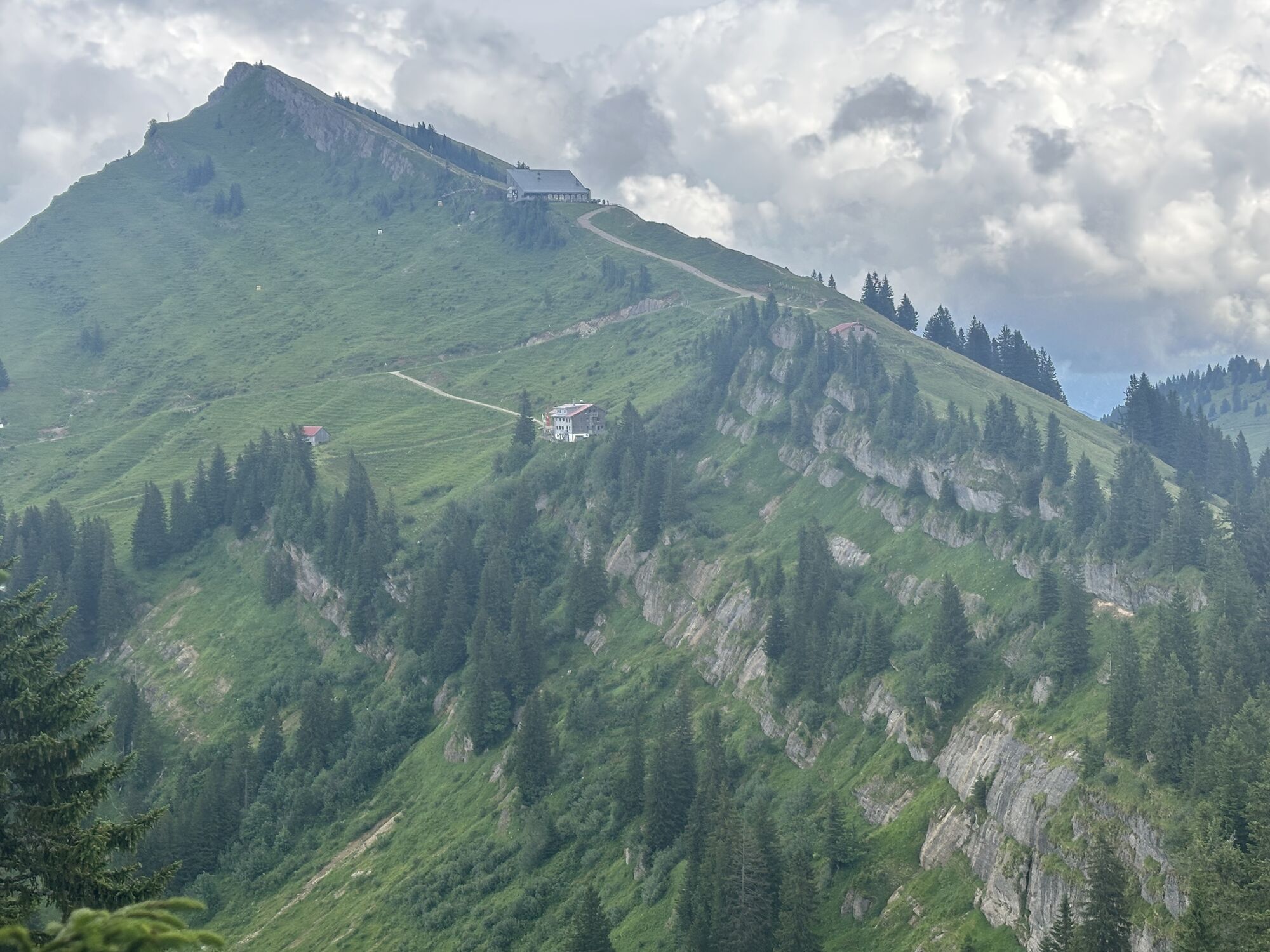
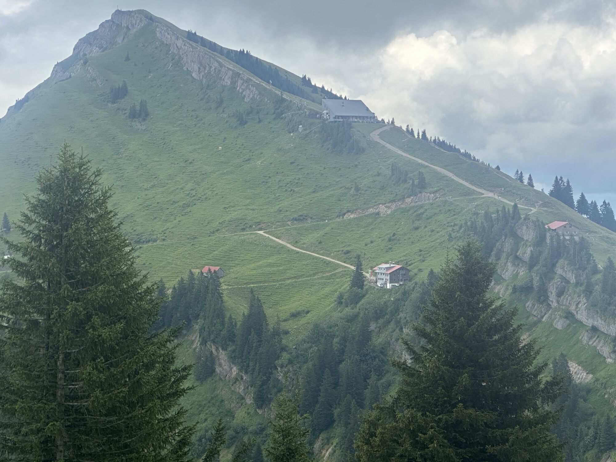
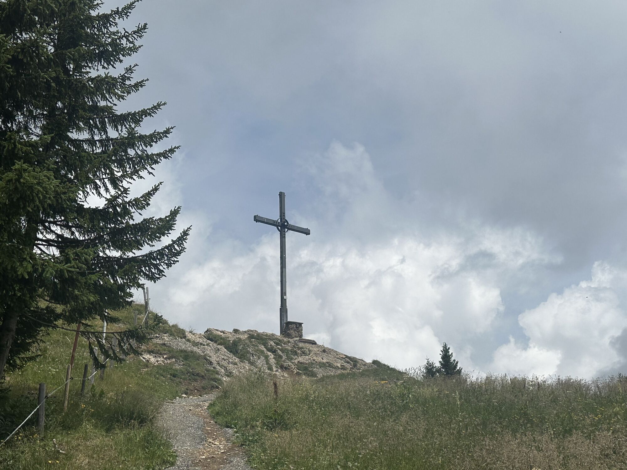
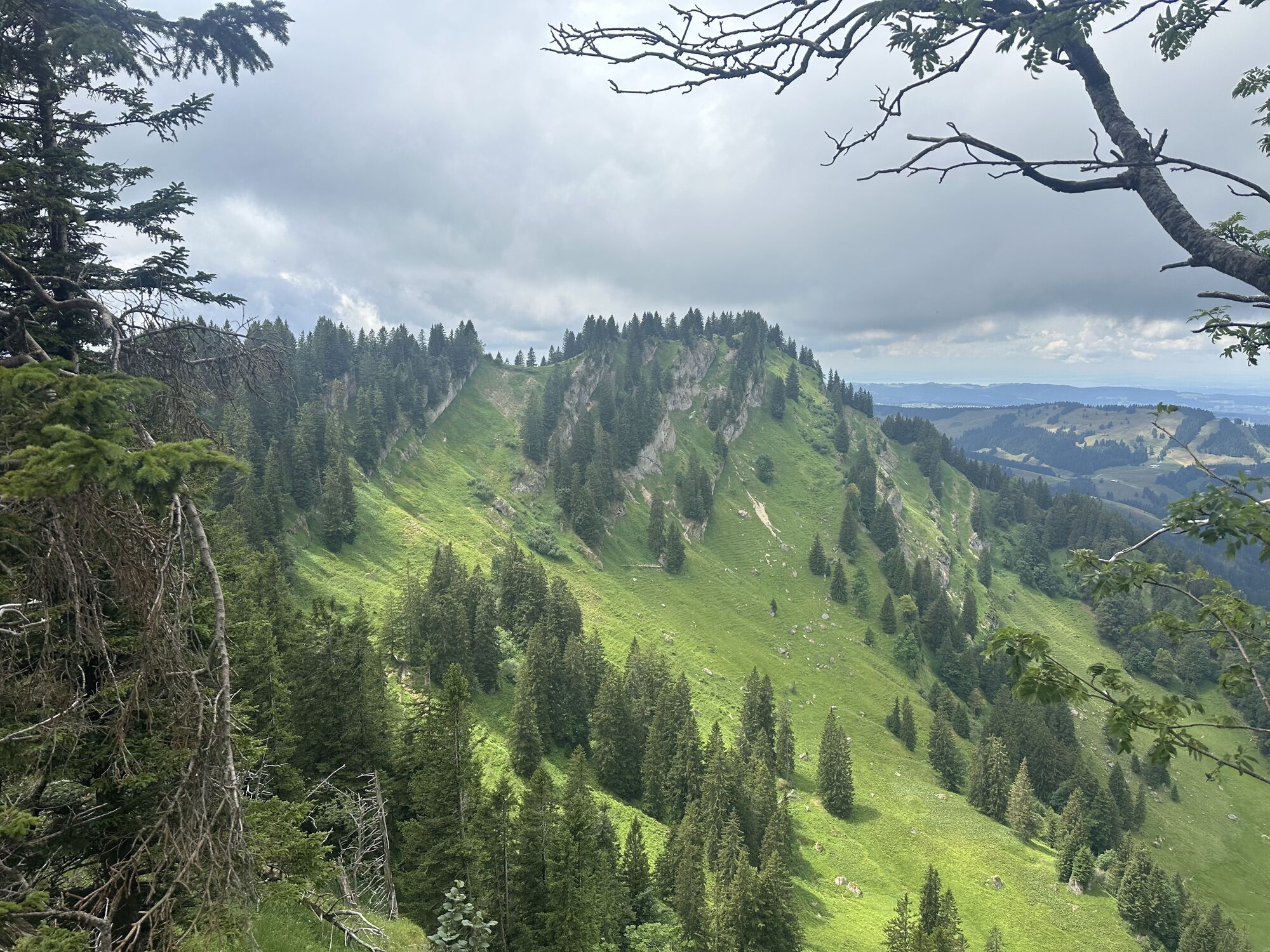
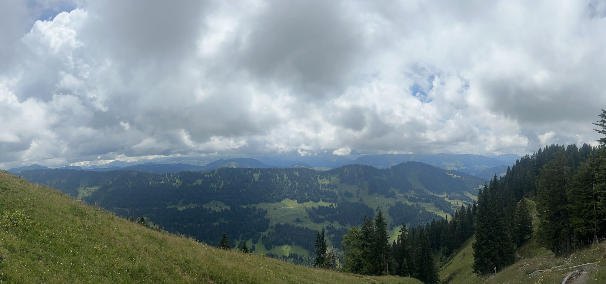
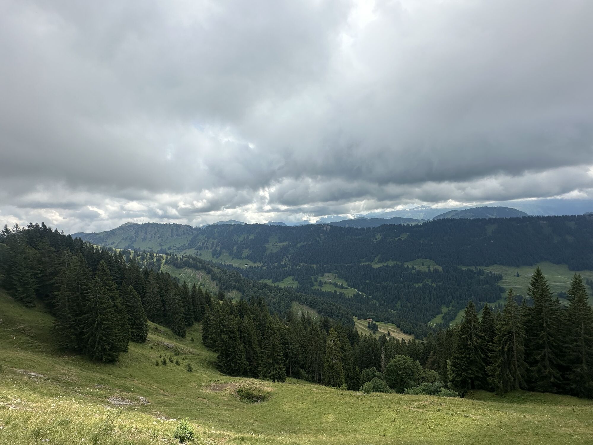
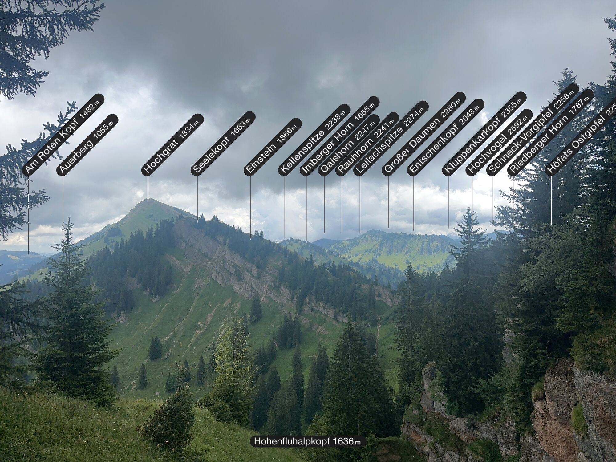
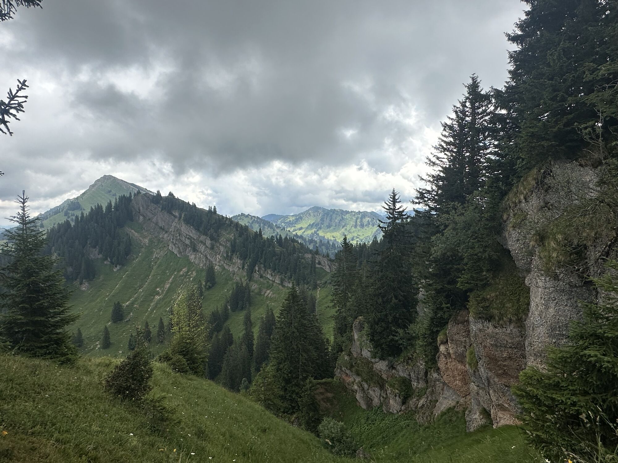
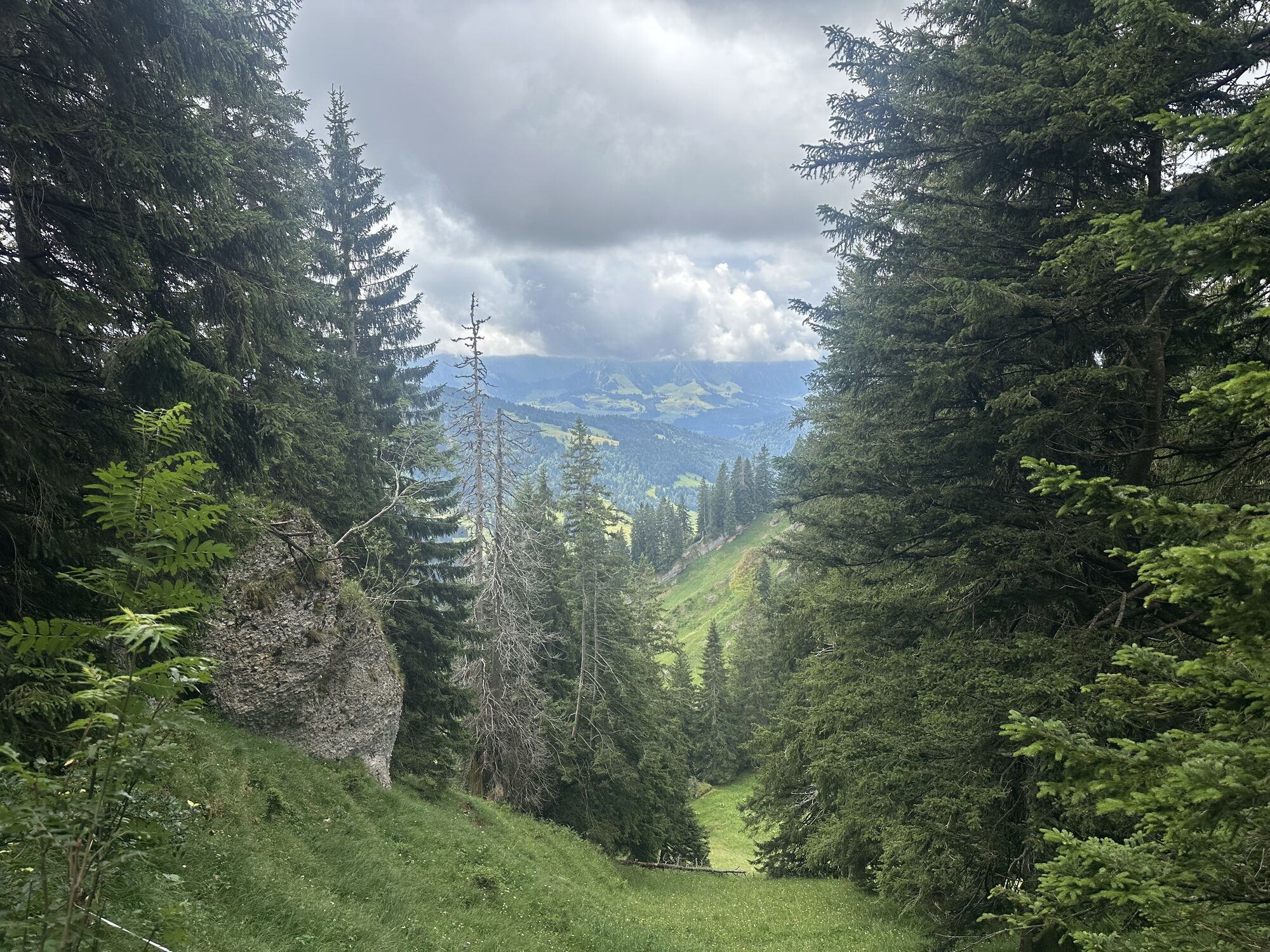
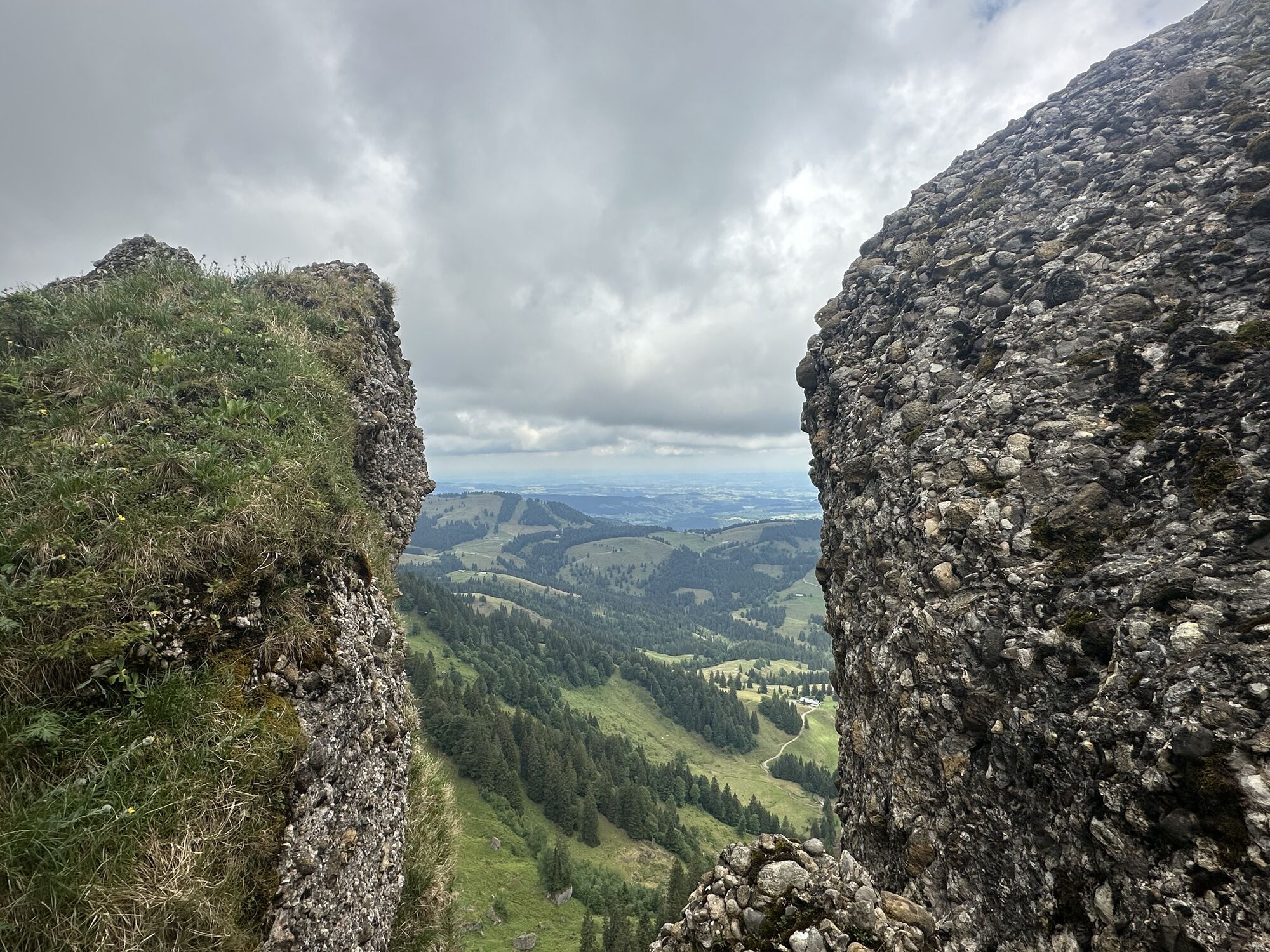
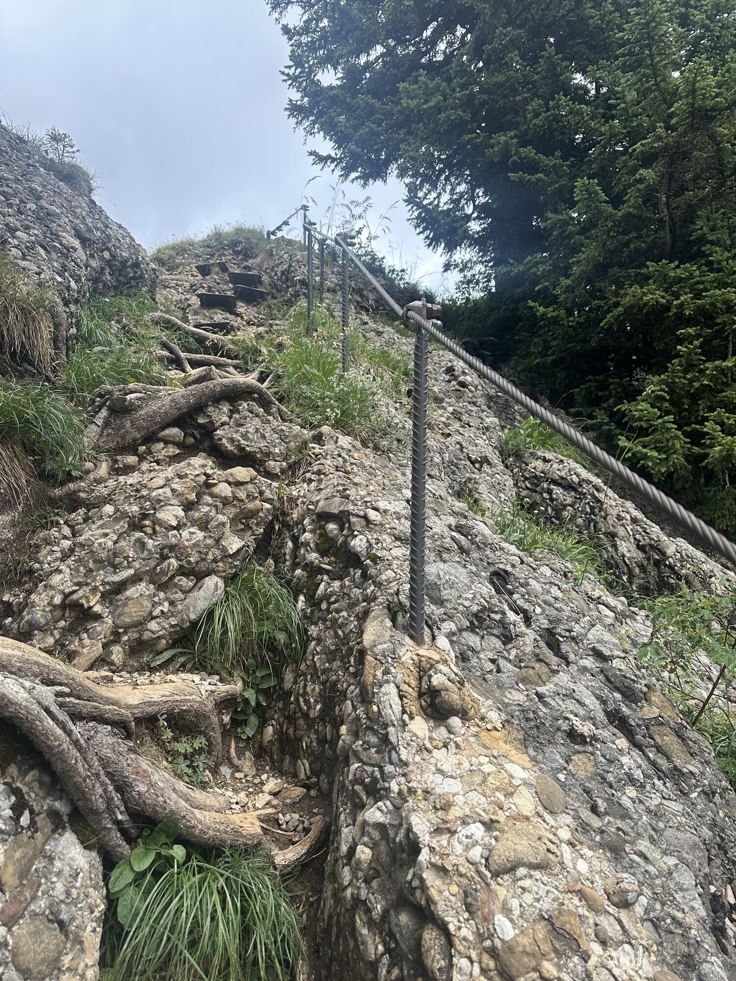
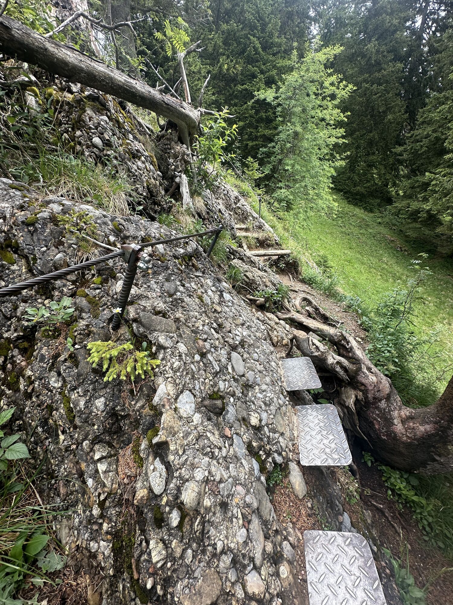
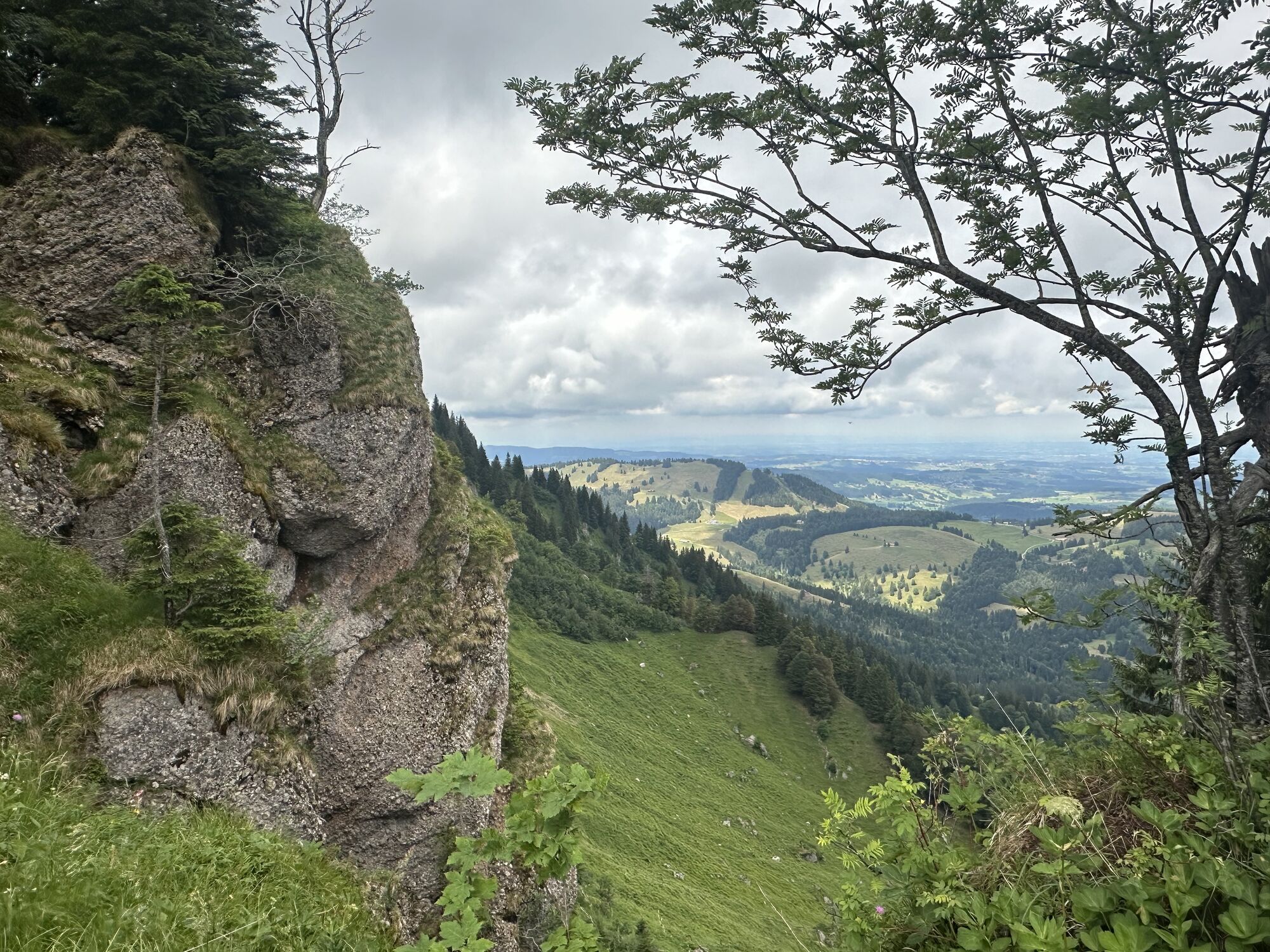
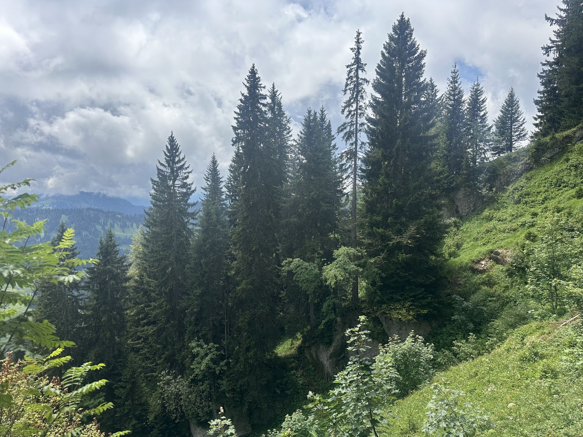
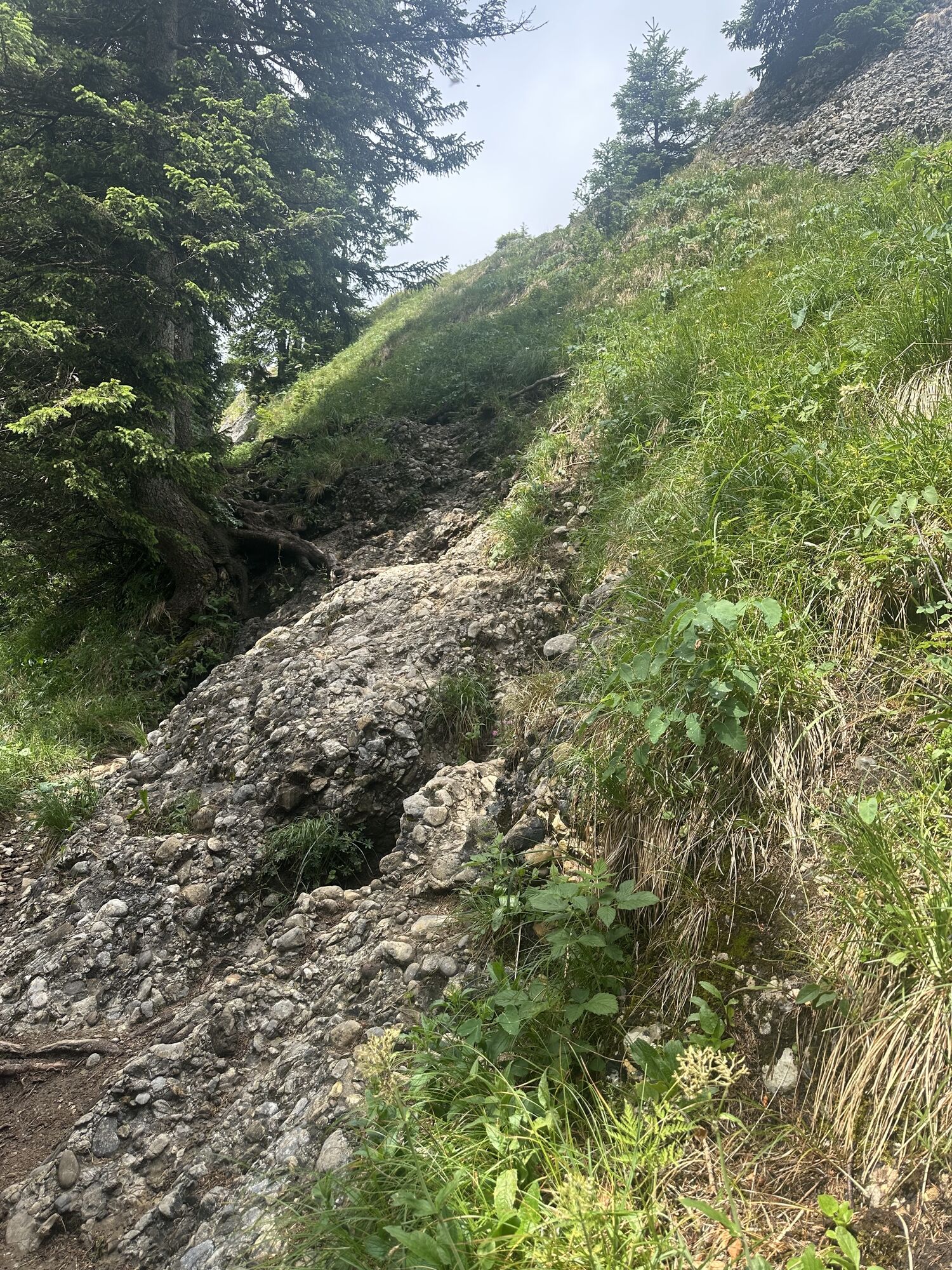
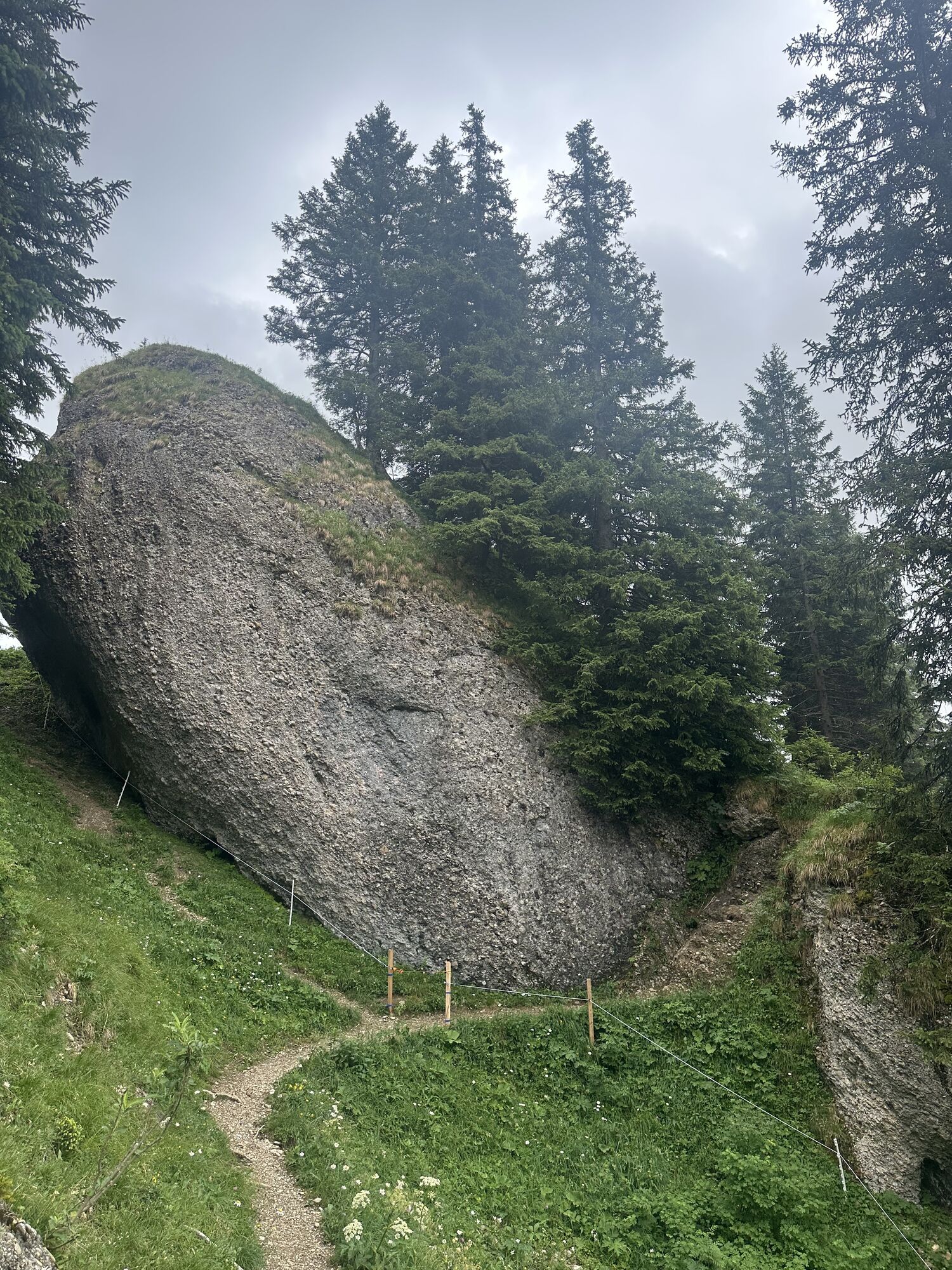
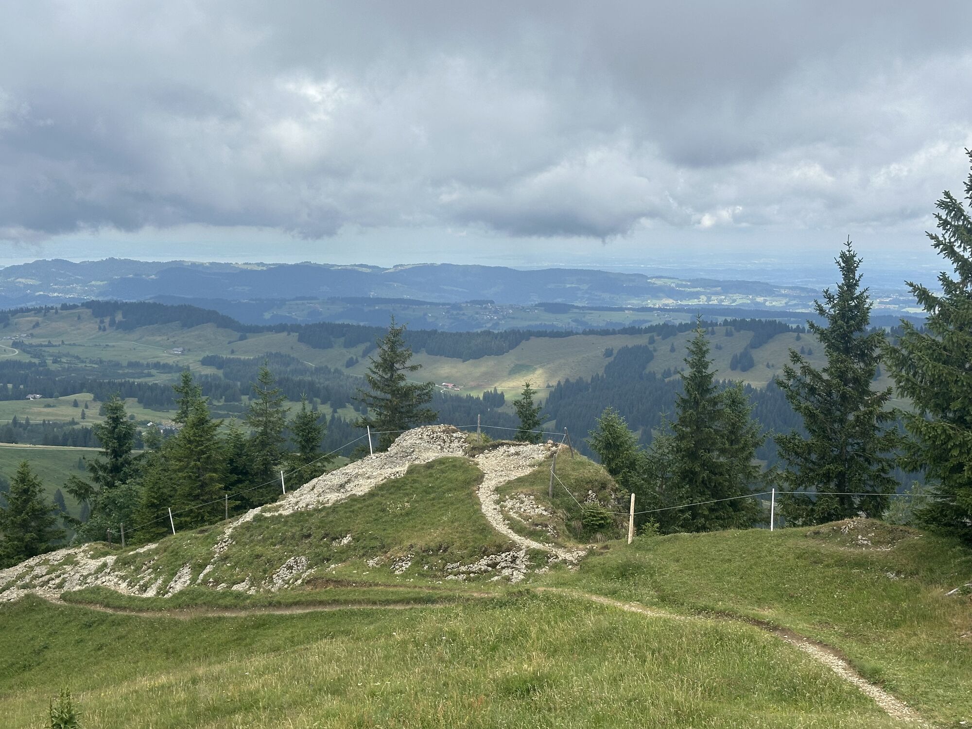
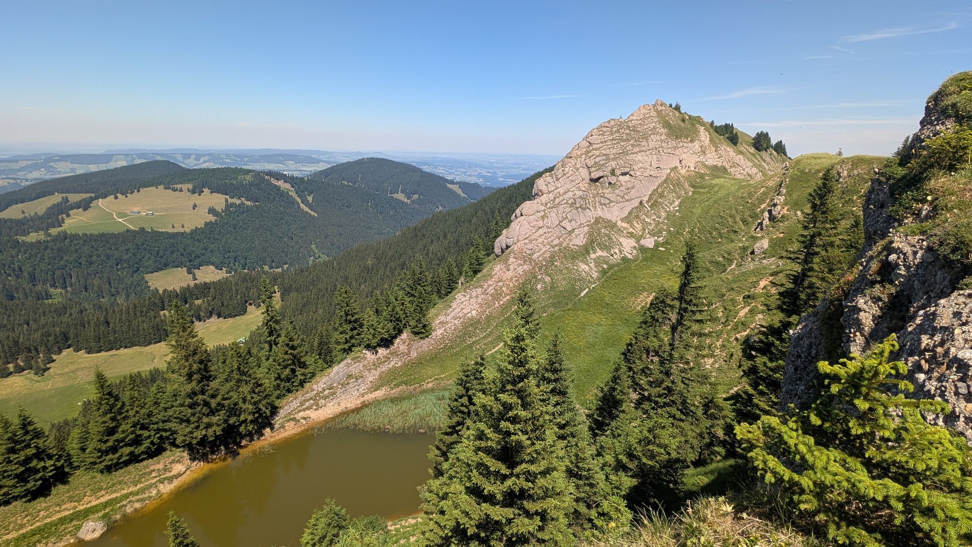
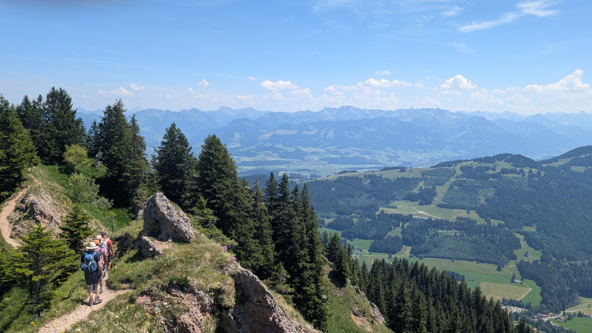
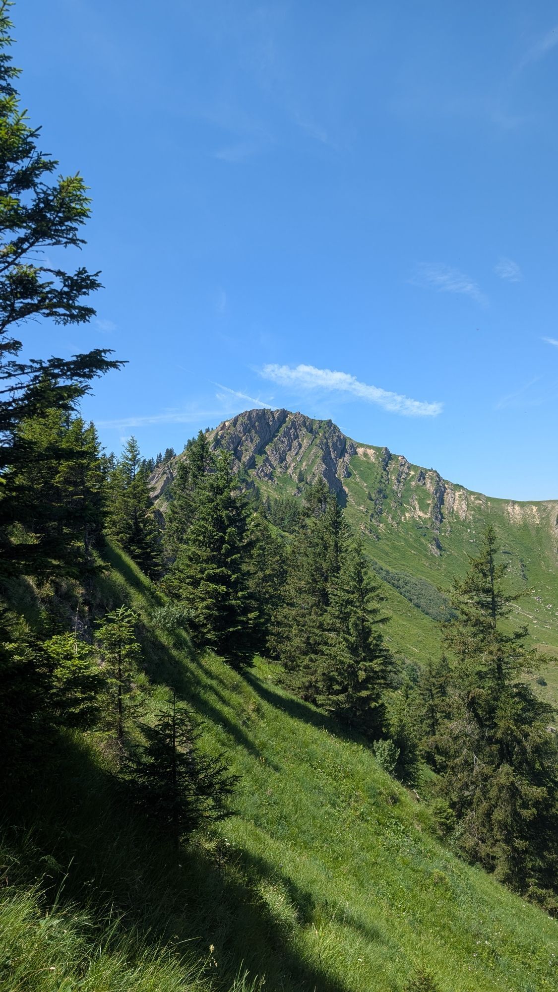
Day 1: From the valley station, the path goes past some old trees over the middle and upper ascent of the alp as well as the Alpe Schneeloch up to Hörmoossee. On the opposite side of the idyllic moor lake,...
Day 1: From the valley station, the path goes past some old trees over the middle and upper ascent of the alp as well as the Alpe Schneeloch up to Hörmoossee. On the opposite side of the idyllic moor lake, follow the path to the summit of Hoch Häderich. Those who want can refresh themselves beforehand in one of the staffed huts along the way. Then begins the unique hike along the ridge of the Nagelfluh chain. Via a secured path, it goes to the Falken heads. Continuing over Hohenfluhalpkopf, Eineguntkopf and Seelekopf to our night stop at the Staufner House. Up to here we have covered 14 kilometers of the total 33 kilometers.
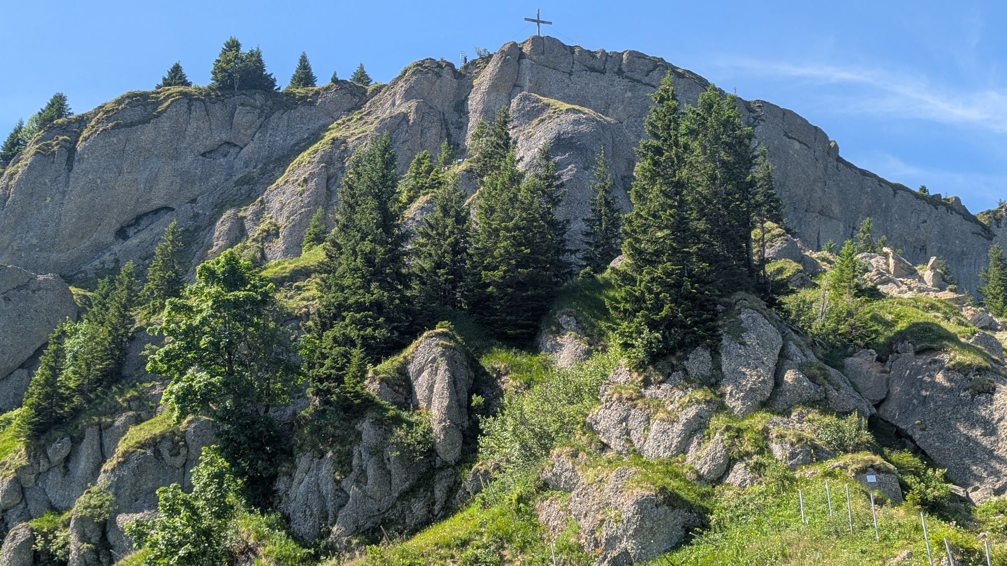
Day 2: Back on the ridge, it continues eastward. Passing the mountain station of the Hochgrat cable car, we soon reach the highest peak on the Hochgrat at 1,834 meters. In good weather, we walk towards the morning sun and should not miss the short detour to the summit cross of the Rindalphorn. There follow six more peaks up and down until we reach the last one, at Mittag above Immenstadt. For this demanding day stage you should plan well seven to eight hours, maybe a little more if you take enough breaks. At Steineberg there is a spectacular descent via a 15-meter-long ladder, which can also be bypassed. Between Hochgrat and Mittag mountain stations, there is no opportunity to stop, so think of enough provisions. Our goal is reached after the descent from Mittag at the station in Immenstadt.

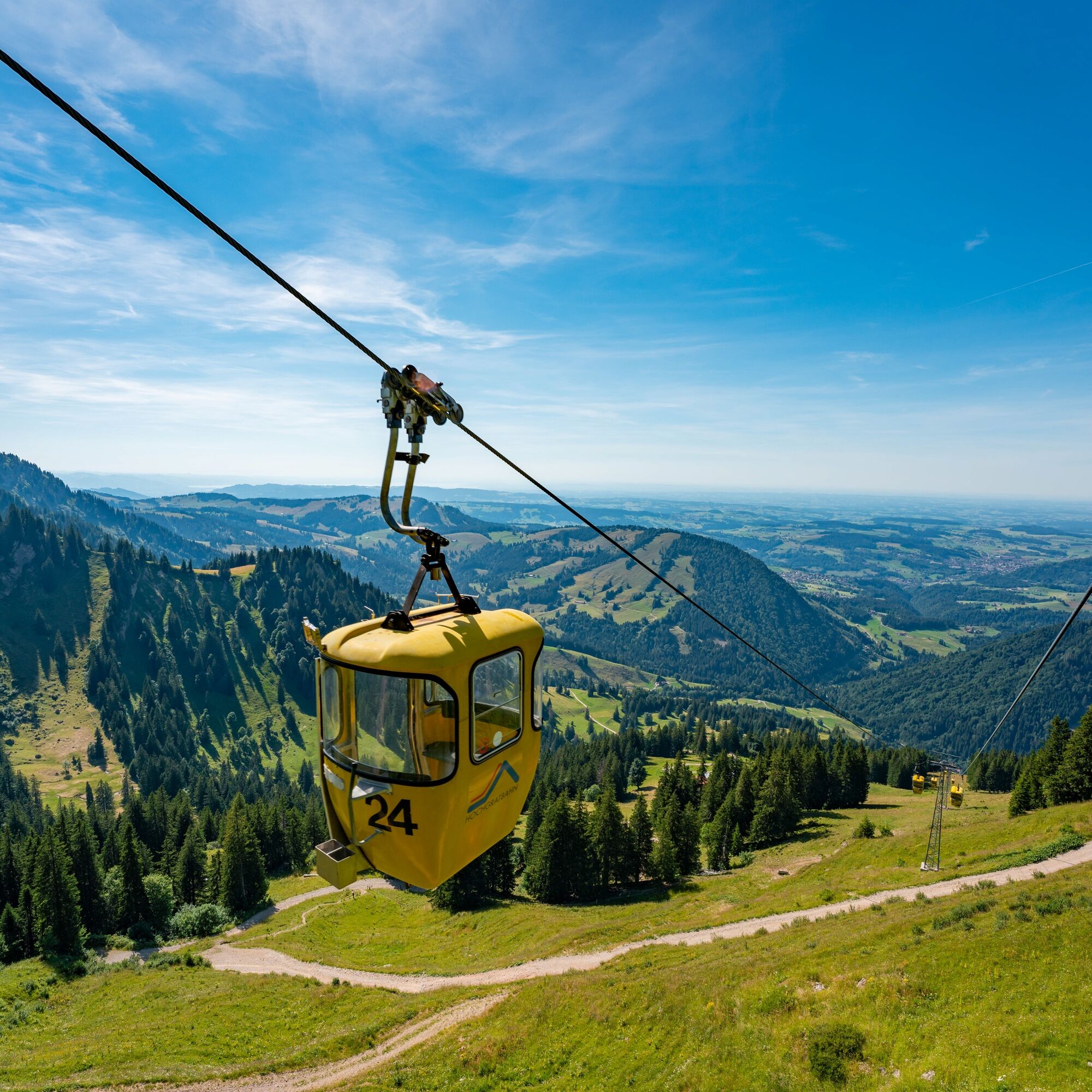
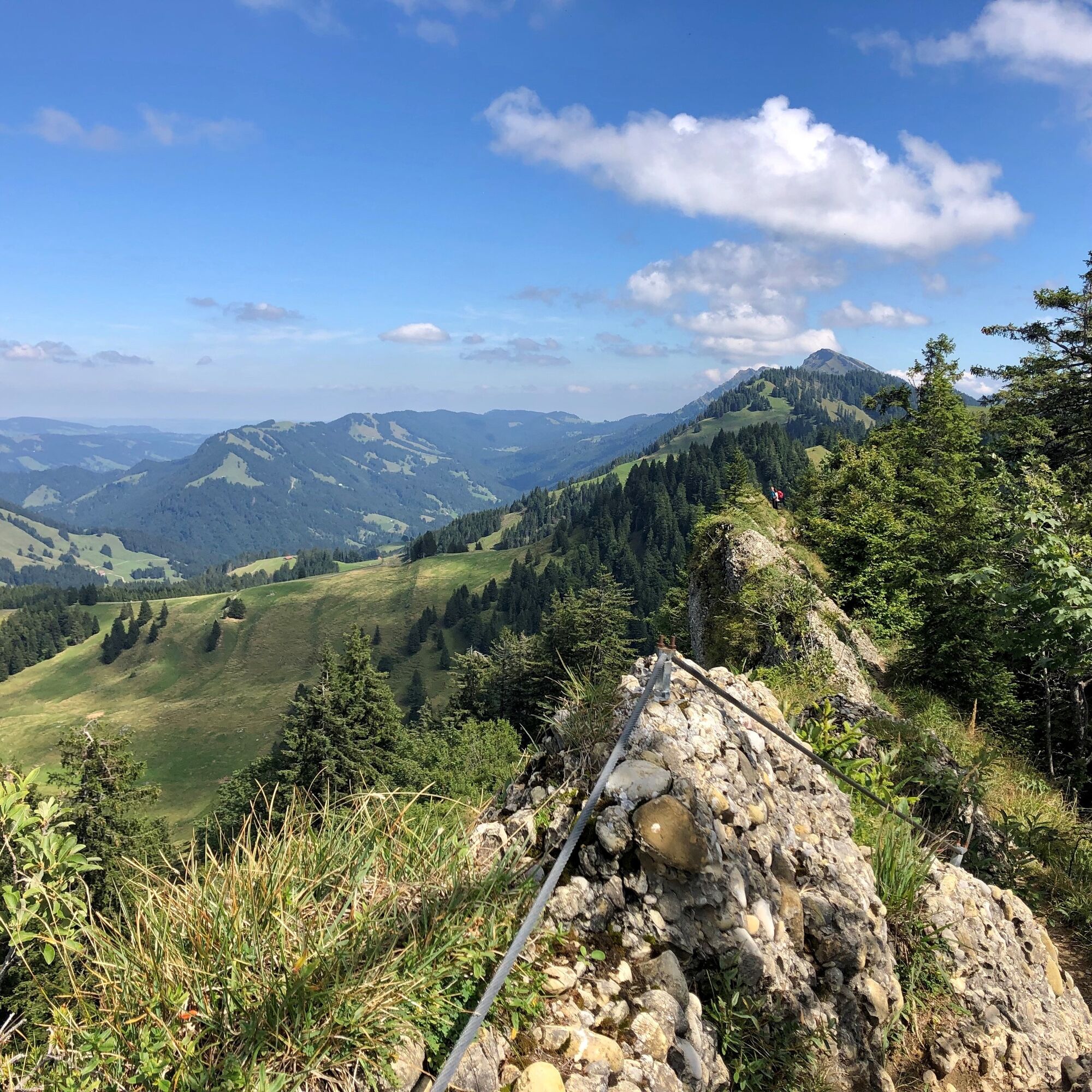
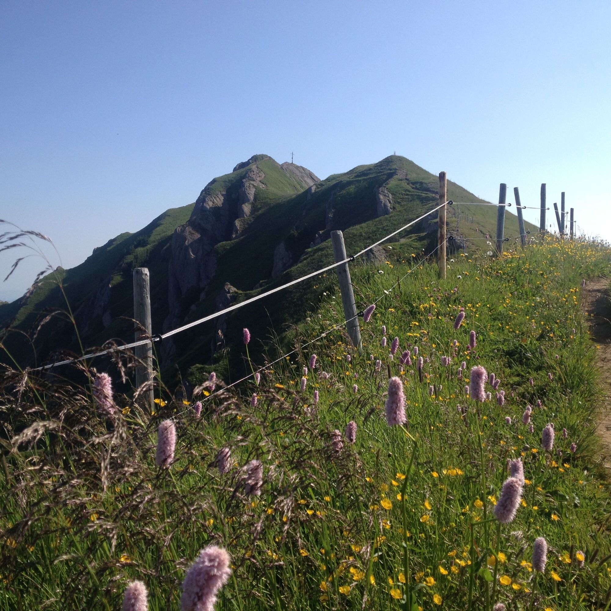

Hochgrat valley station - Hörmoossee - Hoch Häderich - Falken - Hohenfluhalpkopf - Eineguntkopf - Seelekopf - Staufner House - Hochgrat - Gelchenwanger Ridge - Rindalphorn - Gündleskopf - Buralpkopf - Sedererstuiben - Alpe Gund - Stuiben - Steineberg - Bärenköpfle - Mittag - Immenstadt
Ano
Appropriate hiking equipment for two days and all weather conditions. On day 2 make sure to have enough provisions, as no water intake is possible until Mittag.
We recommend only hiking the route free of snow. Please inform yourself in advance!
B 308 to Oberstaufen, via Steibis to the Hochgrat cable car
By train to Oberstaufen and then by bus (line 95) from Oberstaufen station to the Hochgrat cable car.
Traveling by bus and train in and around Oberstaufen?
Information, bus schedules and an overview map at oberstaufen.de/bus-parken
Paid parking at Oberstaufen station, then by bus to the Hochgrat cable car valley station. Or paid parking at the Hochgrat cable car valley station.
Get preliminary information about the weather conditions: www.oberstaufen.de/wetter
Stay on the marked paths
112 Euro emergency call or emergency app SOS-EU-ALP
Reservation at the Staufner House must be booked in advance: www.staufner-haus.de
Arrival and departure: www.oberstaufen.de/bus-parken
Those who want can save the last altitude meters and use the cable car at Mittag. Between the Hochgrat cable car and the Alpe Gund there is no possibility to stop or take in water. Make sure to have enough provisions/liquids in your backpack. Reservations in the huts must be booked in advance! The route can also be walked in the reverse direction.
Webové kamery z prohlídky
-
Alpenarena Hochhäderich
-
Hochlitten Riefensberg / Bregenzerwald
-
Hochgratbahn Bergstation
-
Oberstaufen - Biohotel Schratt
-
Oberstaufen - Biohotel Schratt
-
Segelclub Alpsee
-
Gschwendlift 1 Bergstation
-
Balderschwang - Schelpenbahn
-
Hittisau
-
Bergstation Weltcup-Express
-
Bergstation Ofterschwang
-
Gipfel Ofterschwanger Horn
-
Talstation Ossi-Reichert Bahn
-
Segelclub Alpsee
-
Mittaggipfel
-
Sonthofen - Panzer & Braun Tiefbau
-
Balderschwang
-
Fluhexpress Berg
-
Alpe Hohenschwand
-
Alpe Birkach
-
Petersthal am Rottachsee
-
Petersthal am Rottachsee
-
Fluhexpress Bergstation
-
Hündlebahn Bergstation
-
Balderschwang - Siplinger Suites
-
Ofterschwang - Allgäuer Berghof
-
Sibratsgfäll
-
Schelpenalp Talstation
-
Blaichach - Gunzesried
-
Oberstaufen - Hörmoos
-
Alpsee Bergwelt
-
Alpsee Bergwelt
-
Alpsee Bergwelt - Bärenfalle
-
Alpenarena Hochhäderich
-
Alpe Birkach - Nagelfluh
-
Allgäuer Berghof - Erlebnishof
Získejte přehled
Vždy živě na místě s více než 9 500 webkamerami. bergfex Jako uživatel Pro si nyní můžete zobrazit odpovídající webové kamery pro mnoho prohlídek v aplikaci prohlídky z. Můžete si tak přímo prohlédnout aktuální podmínky.
Aktivity na trase
-

Blaichach, Bayern/Deutschland
15.08.2026 – Turistika -
Oberstaufen, Bavaria/Germany
11.08.2026 – Turistika -
Blaichach, Bayern/Deutschland
22.07.2026 – Turistika -

Immenstadt im Allgäu, Bayern/Deutschland
02.07.2026 – Turistika -
Immenstadt im Allgäu, Schwaben/Deutschland
23.05.2026 – Turistika -

Nagelfluhkette <->
09.05.2026 – Turistika -
Oberstaufen, Schwaben/Deutschland
18.04.2026 – Běh -

Nagelfluhkette, Immenstadt - Staufner Haus, Bayern/Deutschland
13.09.2025 – Horská turistika
Oblíbené prohlídky v okolí
-
4.7
Winterstaude
středníTuristika 9.30 km -
4.5
Steibis - Buchenegger Waterfalls
středníTuristika 6.47 km -
4.6
Hittisau | Wasserwanderweg
světloTematická stezka 7 km -
4.1
Winter circular hike through the Breitachklamm gorge
středníZimní turistika 5.66 km -
4.7
Rindalphorn und Hochgrat
středníTuristika 15.6 km -
5.0
Nagelfluh ridge route Hochgrat - Mittag
heavyTuristika 14.0 km -
4.9
Immenstädter Horn
světloTuristika 9.35 km -
4.4
Immenstädter Horn - Gschwender Horn
světloTuristika 10 km -
5.0
Siedelalpe Runde von See - Immenstadt
světloTuristika 10.3 km -
3.5
Rundtour Mittag
světloTuristika 15.7 km
Pěší turistika a stopování


Nenechte si ujít nabídky a inspiraci pro vaši příští dovolenou
Vaše e-mailová adresa byl přidán do poštovního seznamu.





