







3-day hike: Hündle - Hochgrat - Imberg

Day 1:
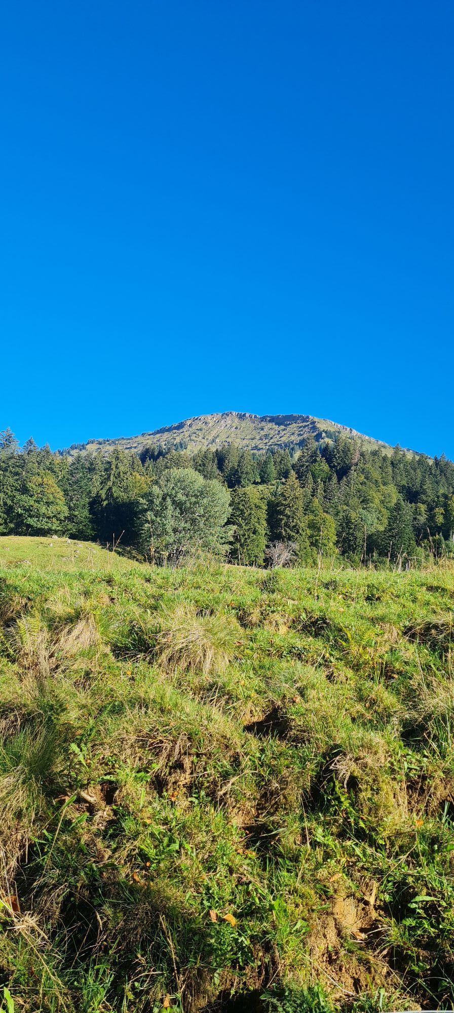
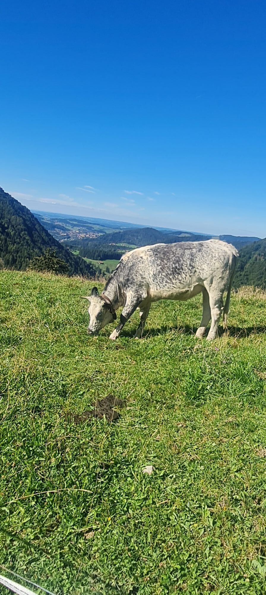
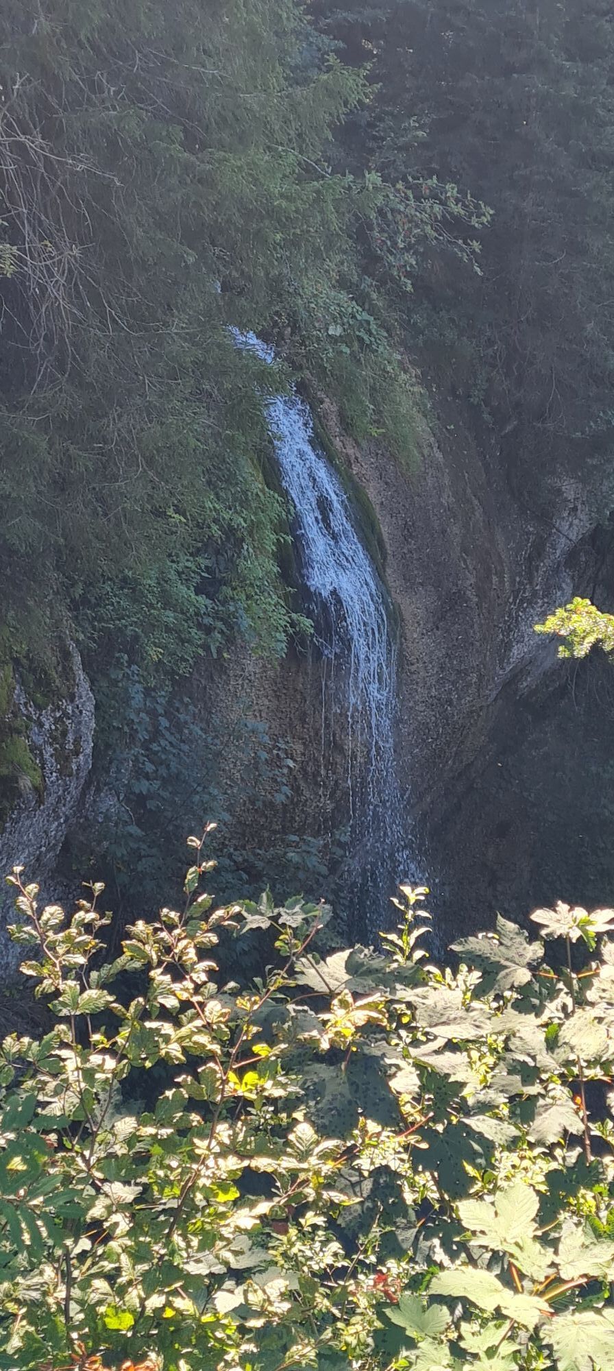
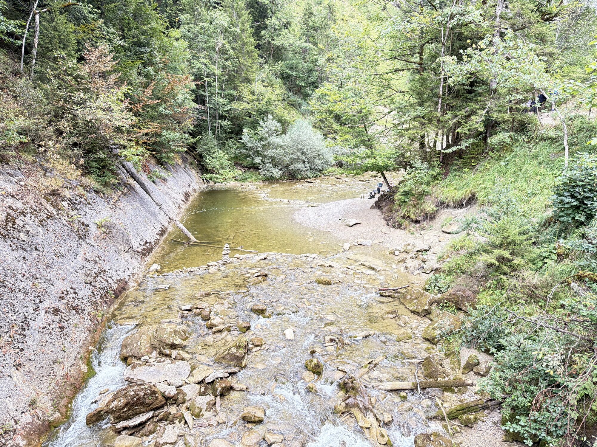
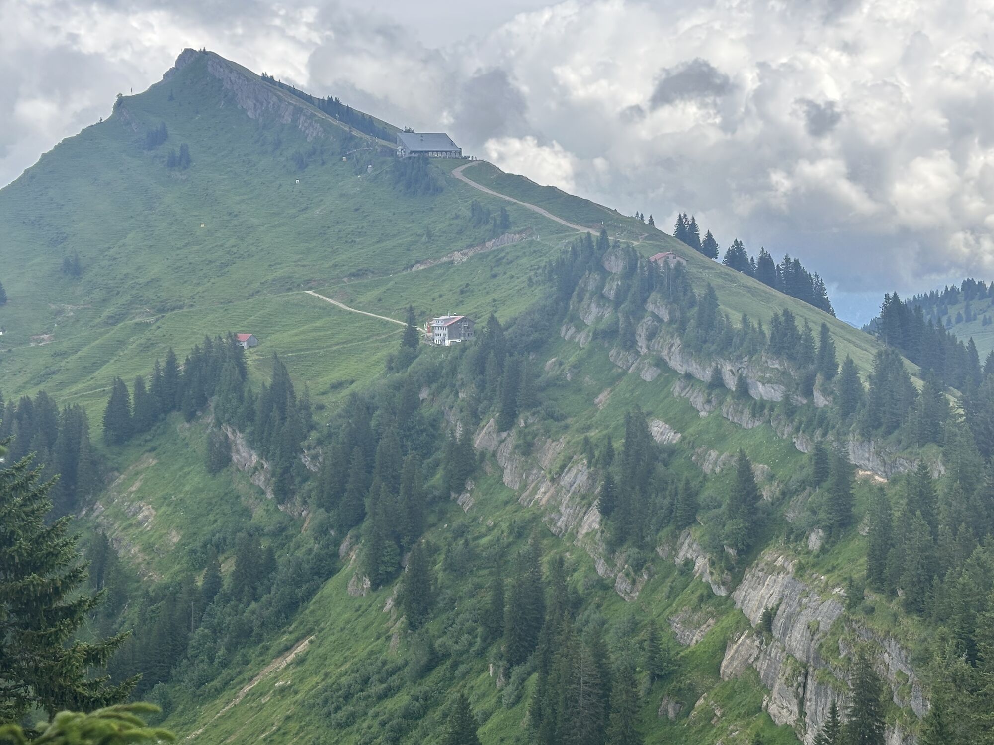
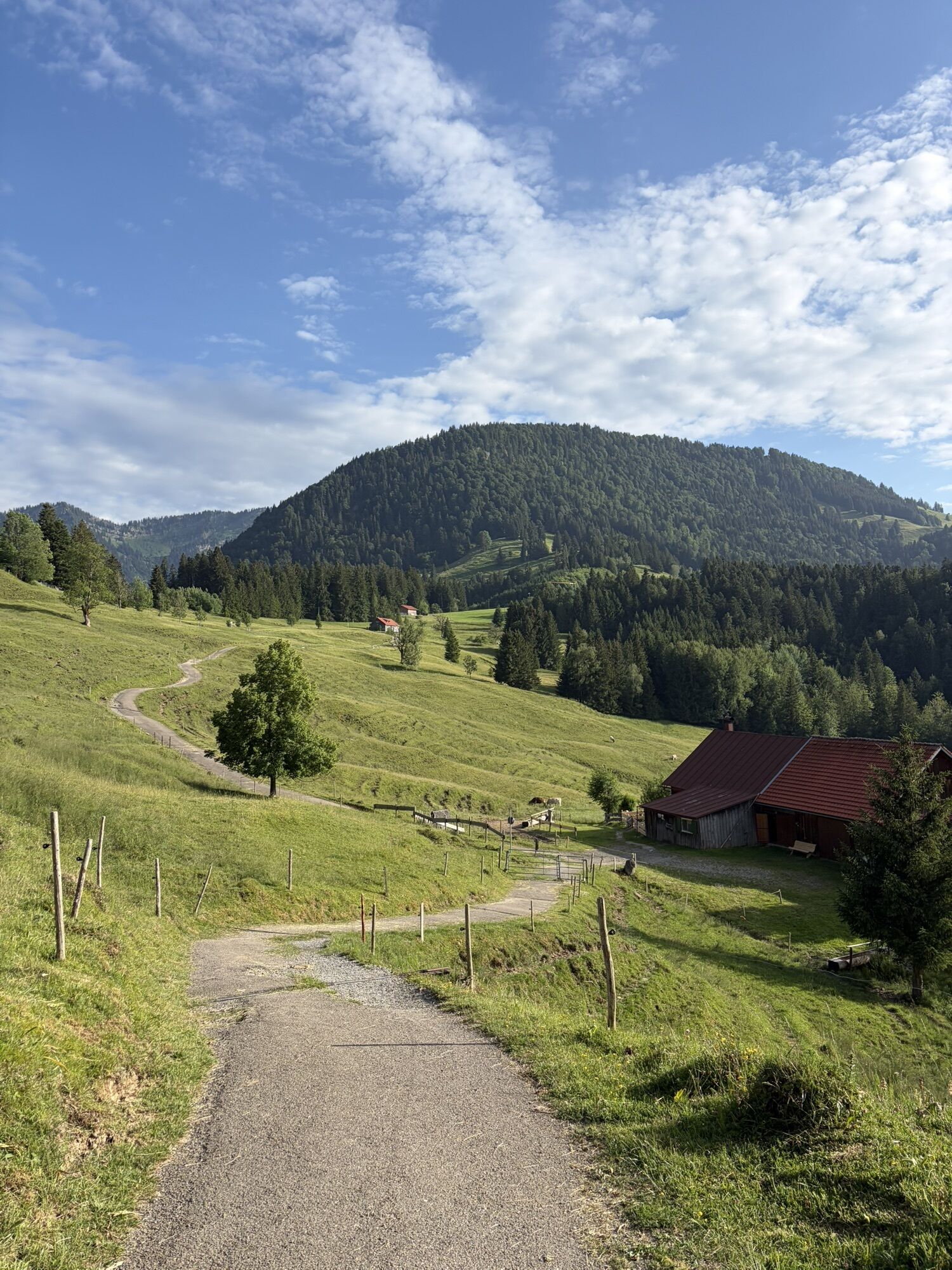
From the Hündle valley station, we hike over the Hündle summit down to the Buchenegger Waterfalls. There, depending on your mood, you can enjoy a cool down. Through the forest upwards towards Steibis...
Day 1:
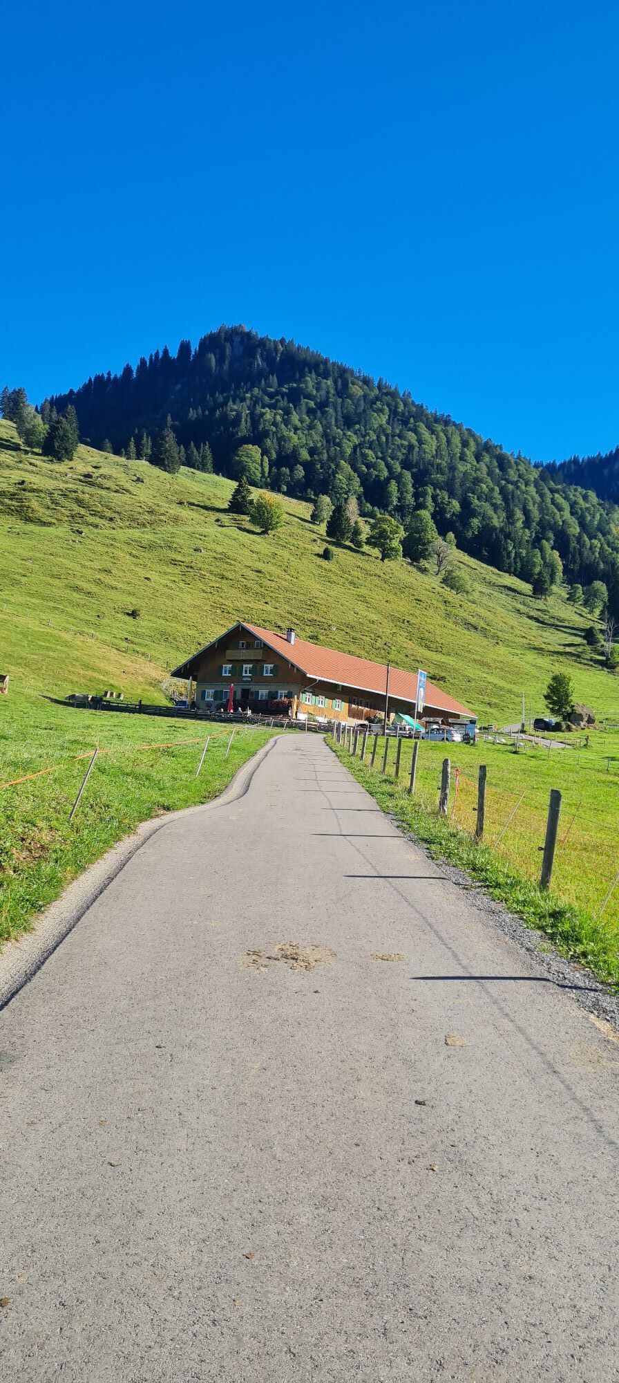
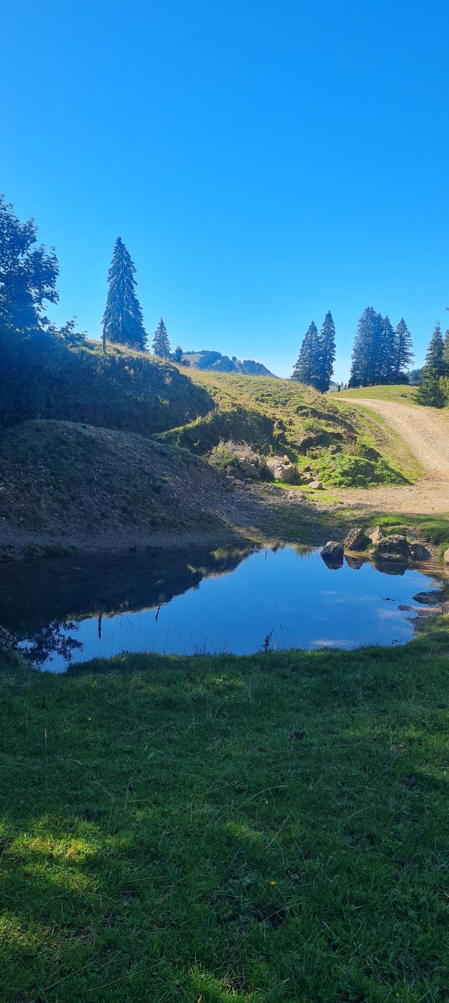
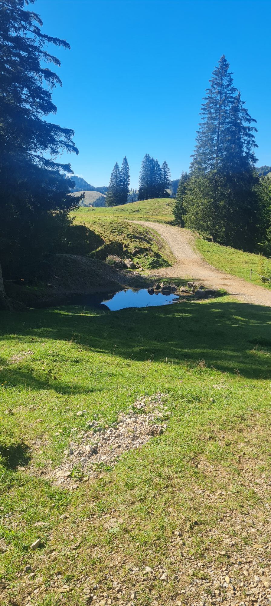
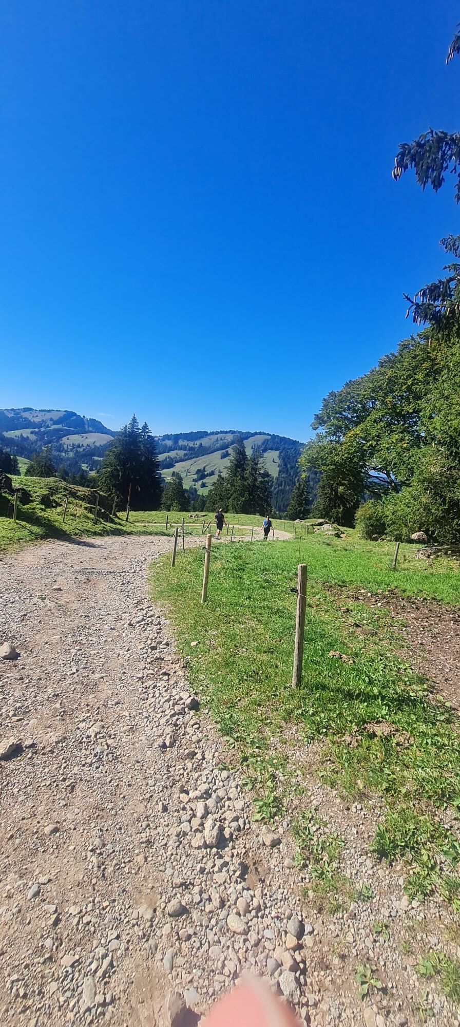
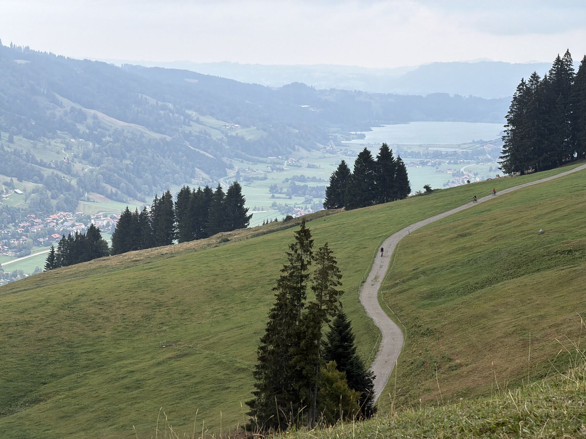
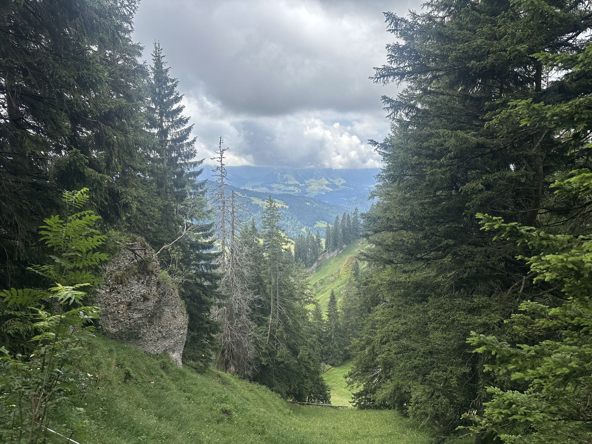
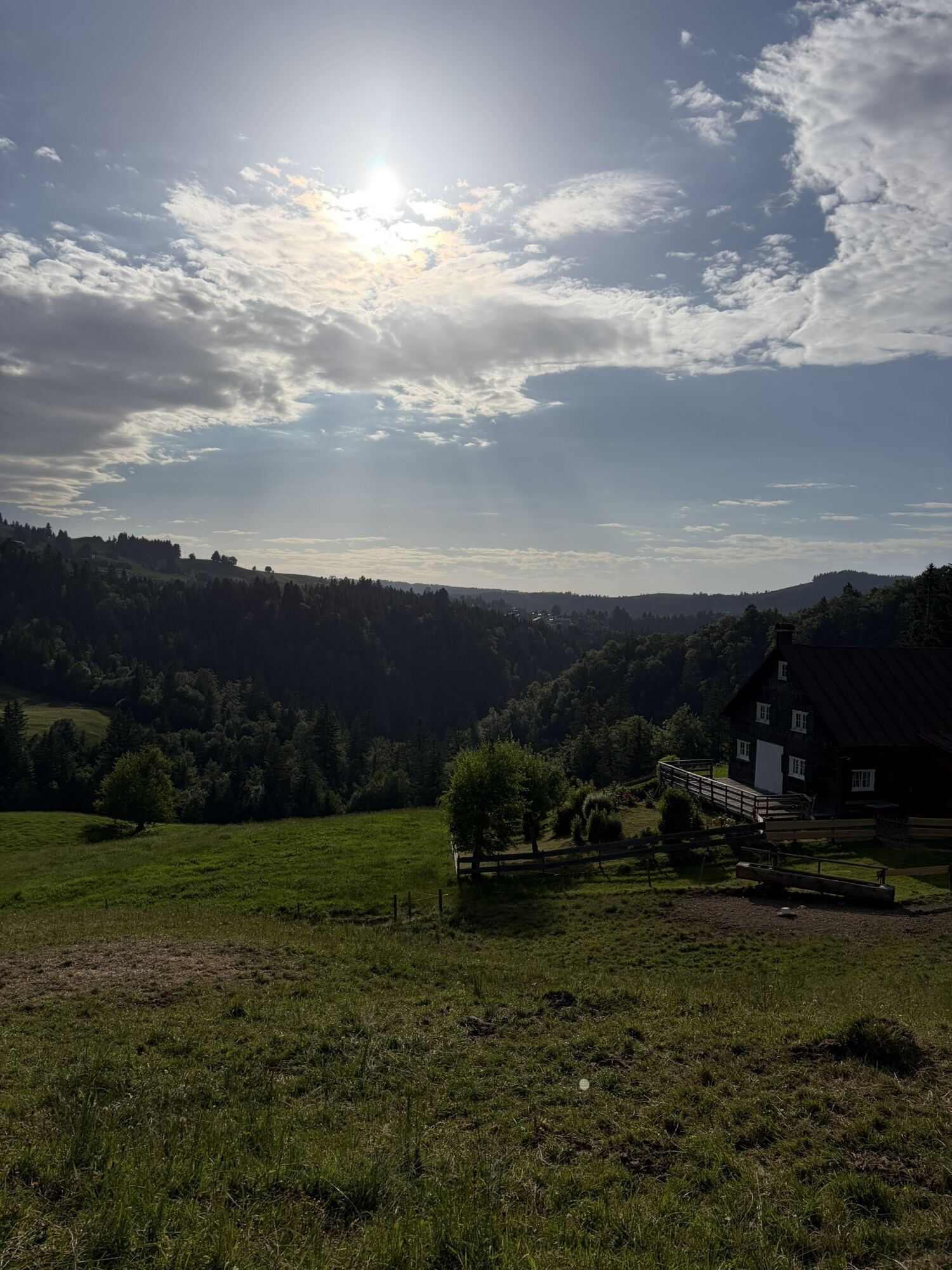
From the Hündle valley station, we hike over the Hündle summit down to the Buchenegger Waterfalls. There, depending on your mood, you can enjoy a cool down. Through the forest upwards towards Steibis and after another descent along the Weißach to the Hochgrat. From the valley station on the hiking trail towards the mountain station and after about 1.5 kilometers turn right past the Unterstieg Alpe to the Oberstieg Alpe, where we spend the night.
Day 2:
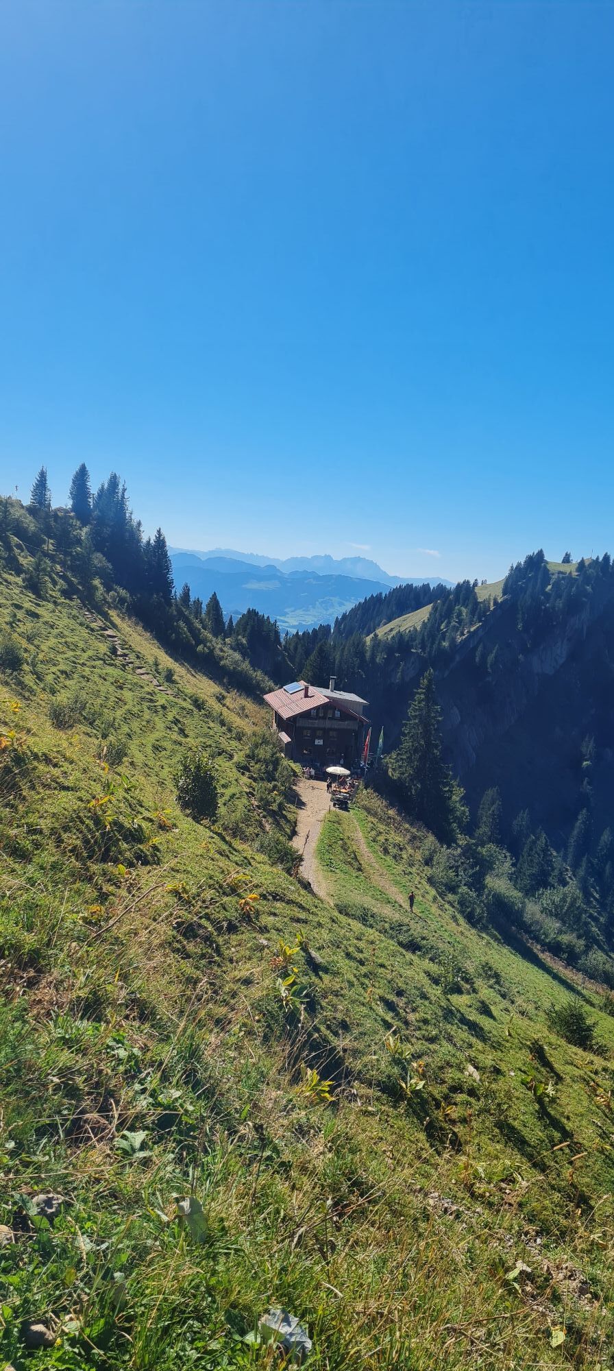
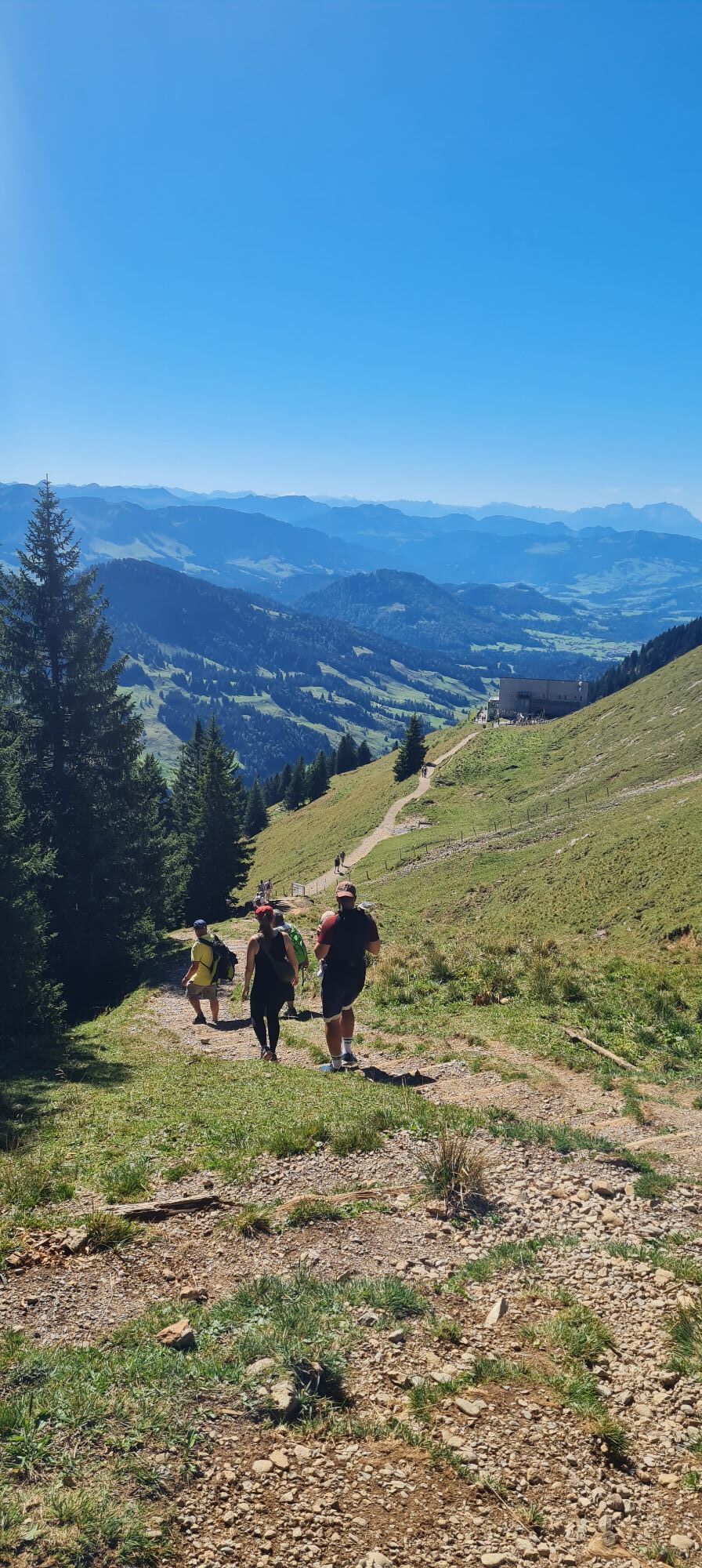
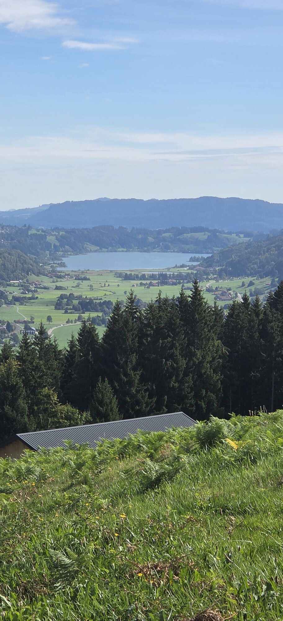
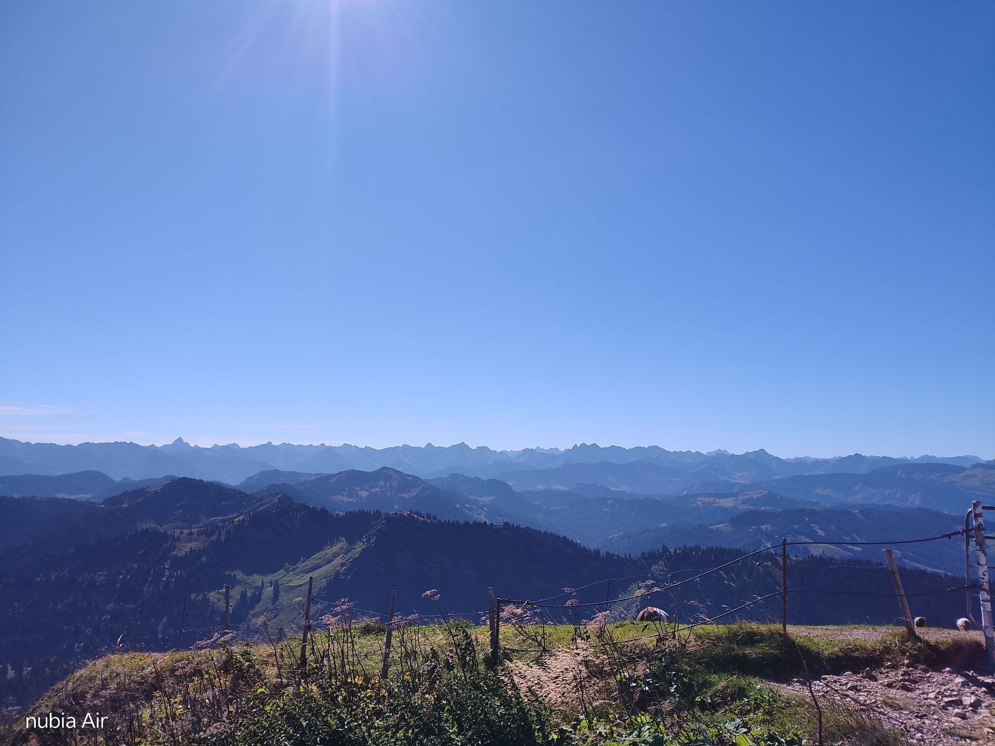
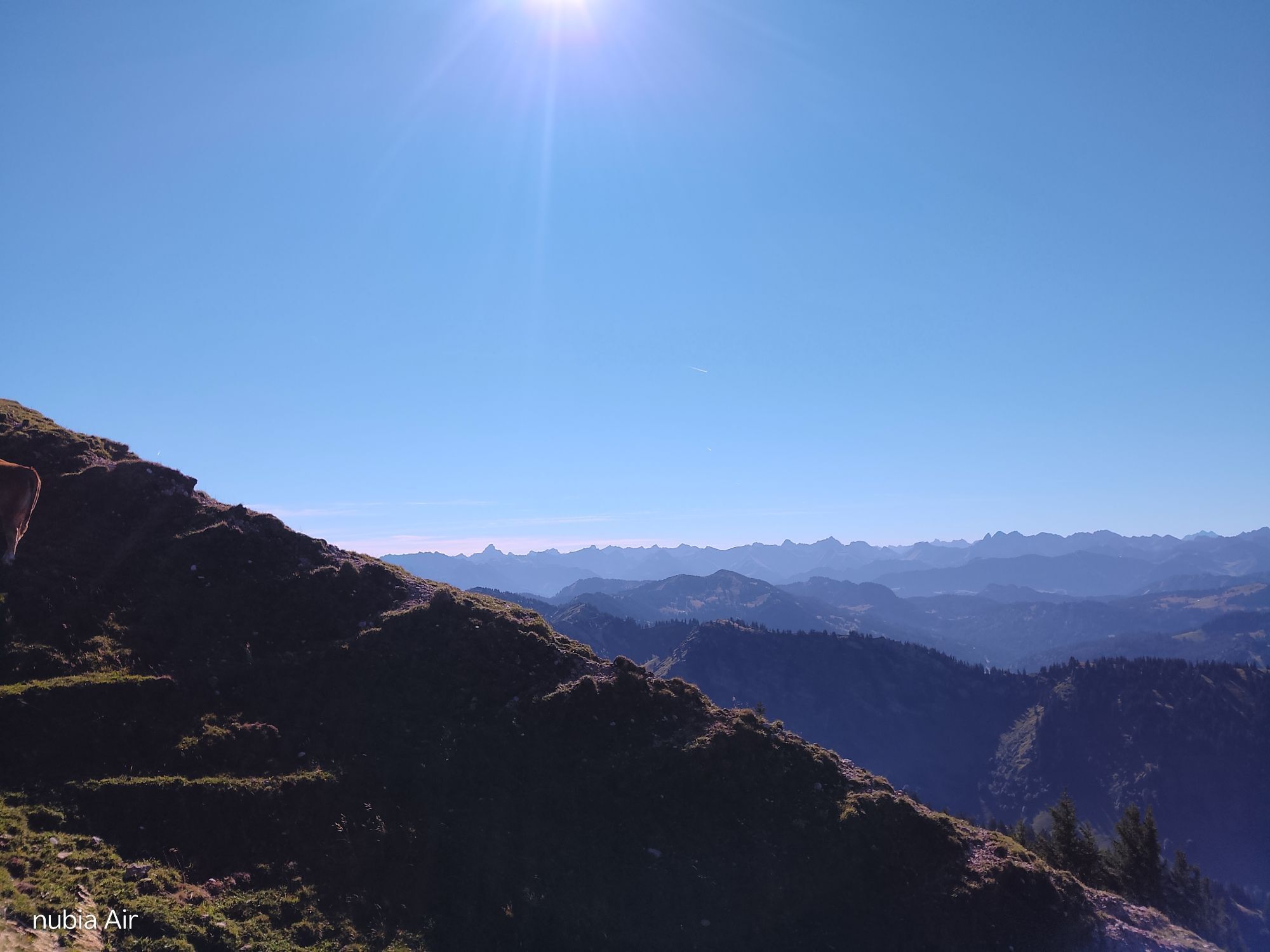
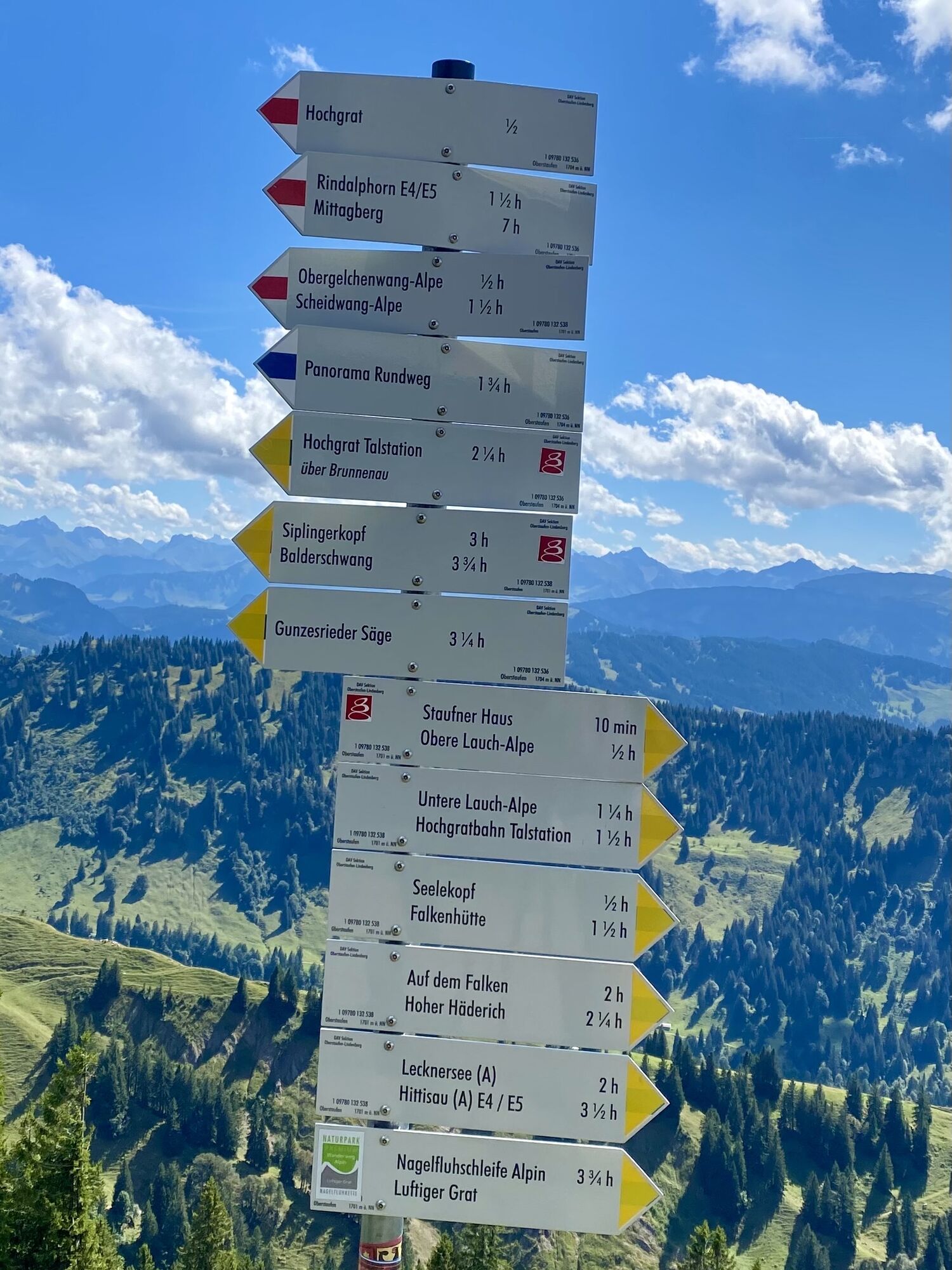
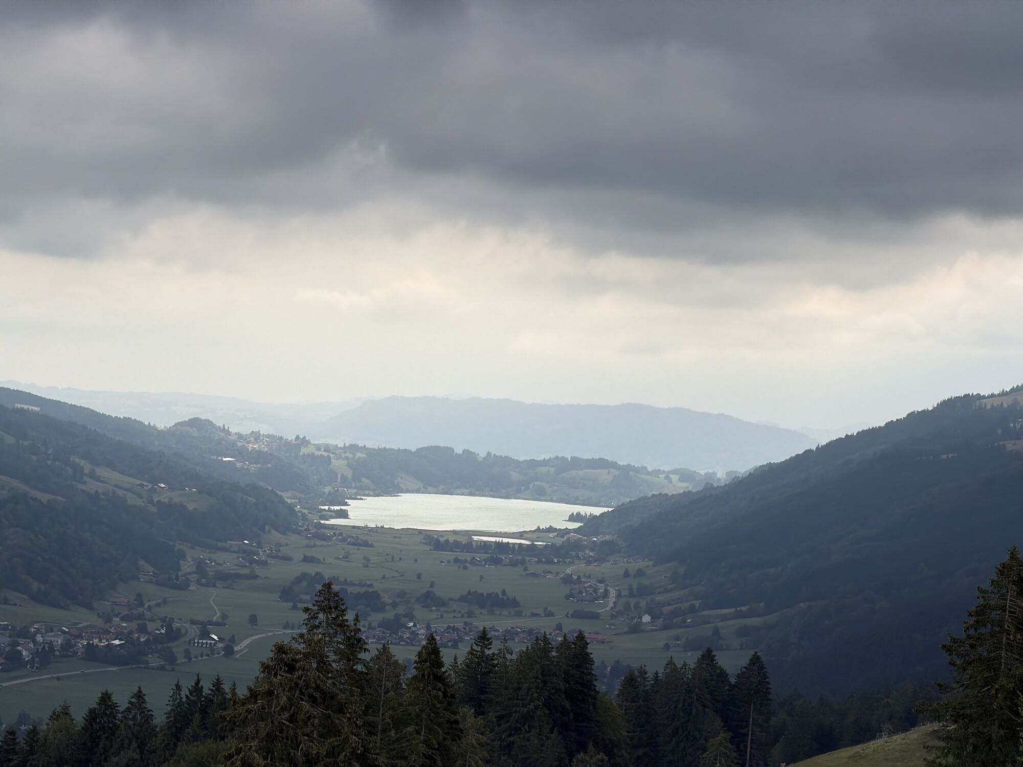
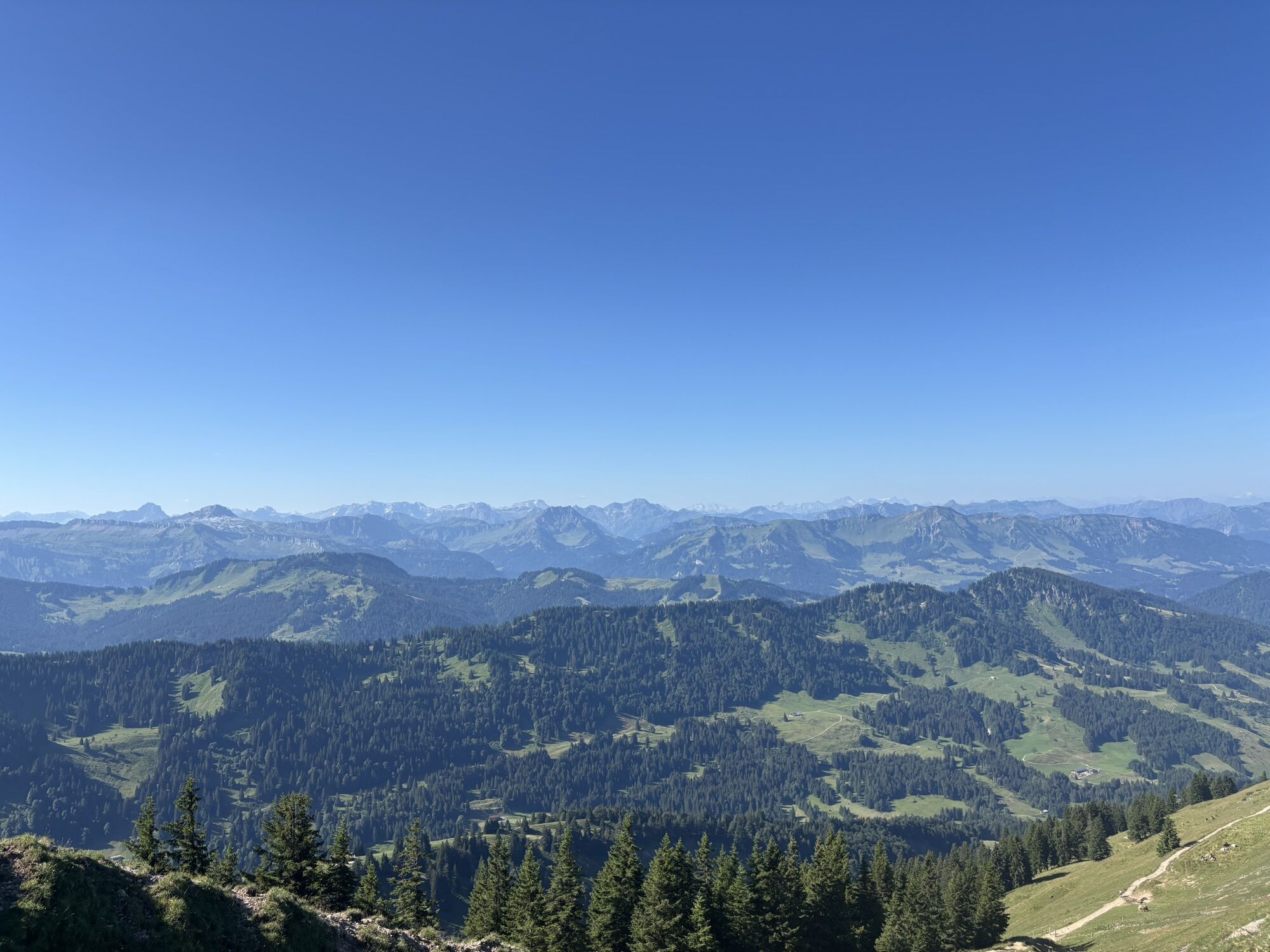
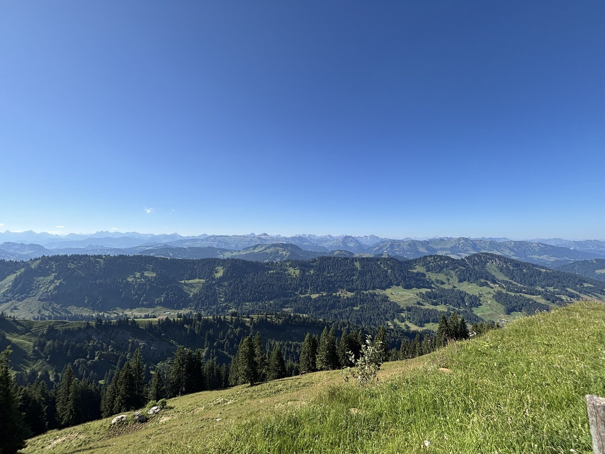
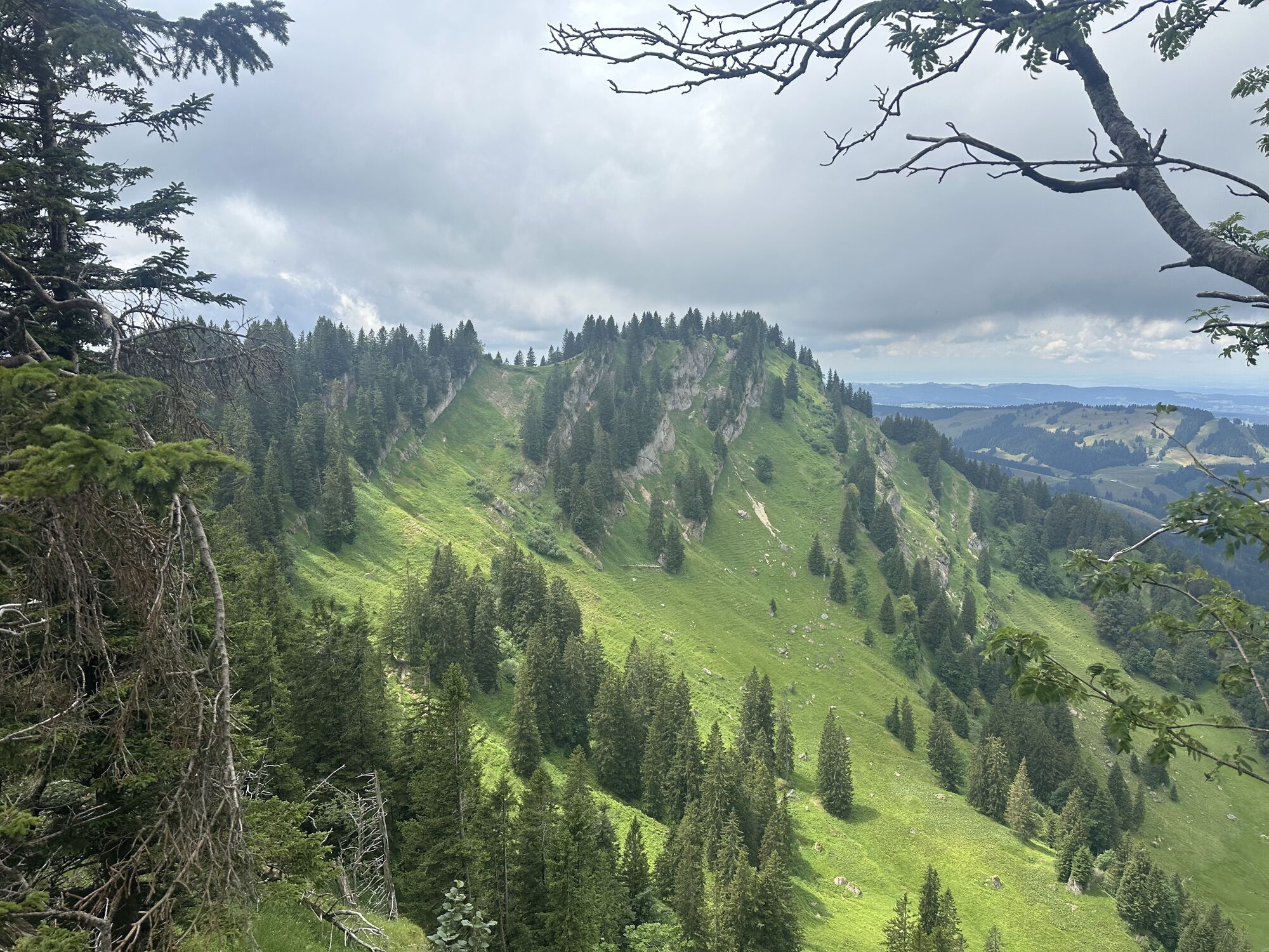
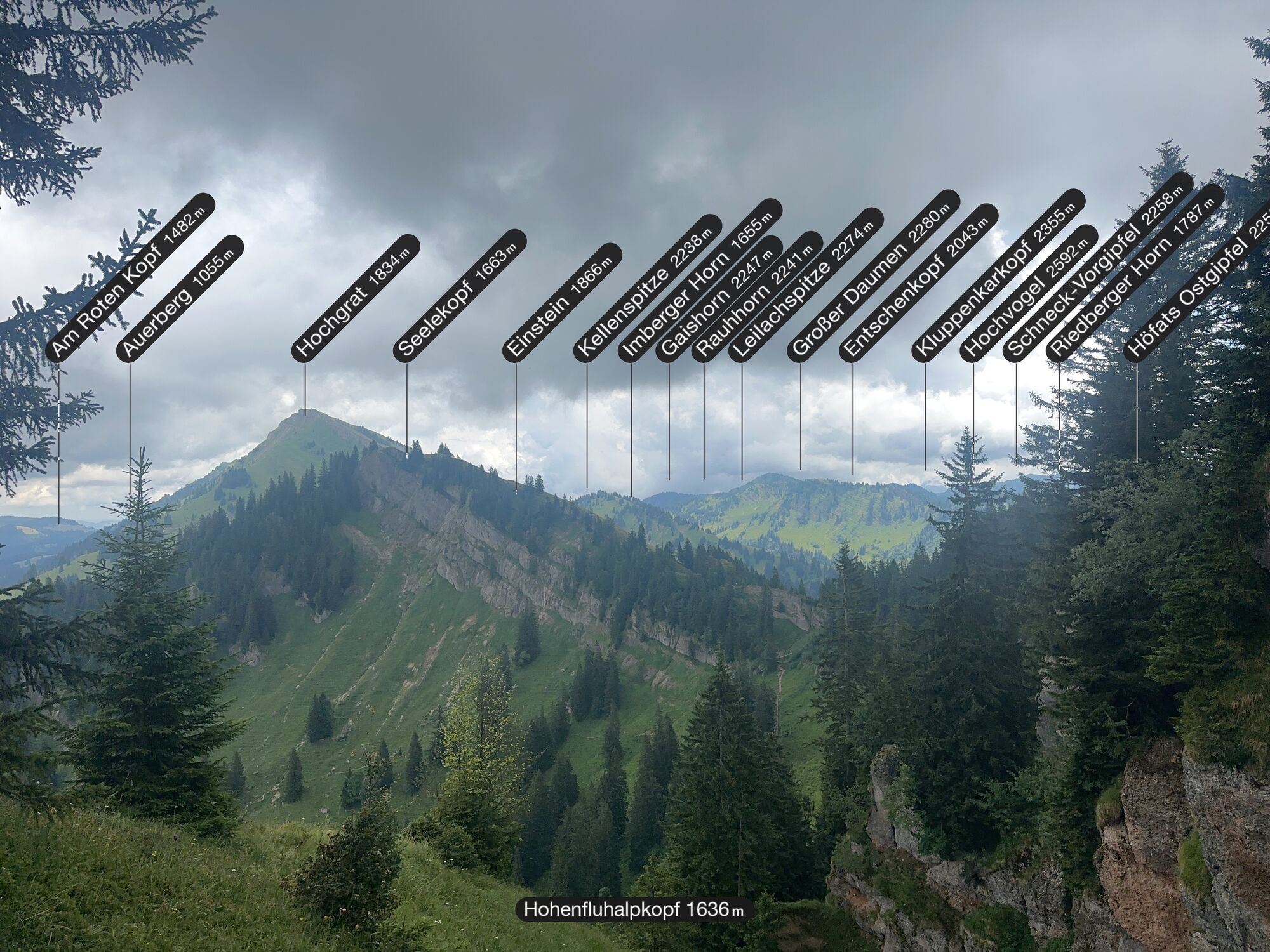
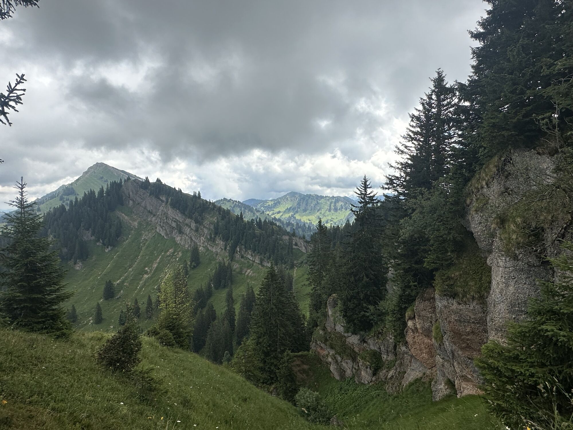
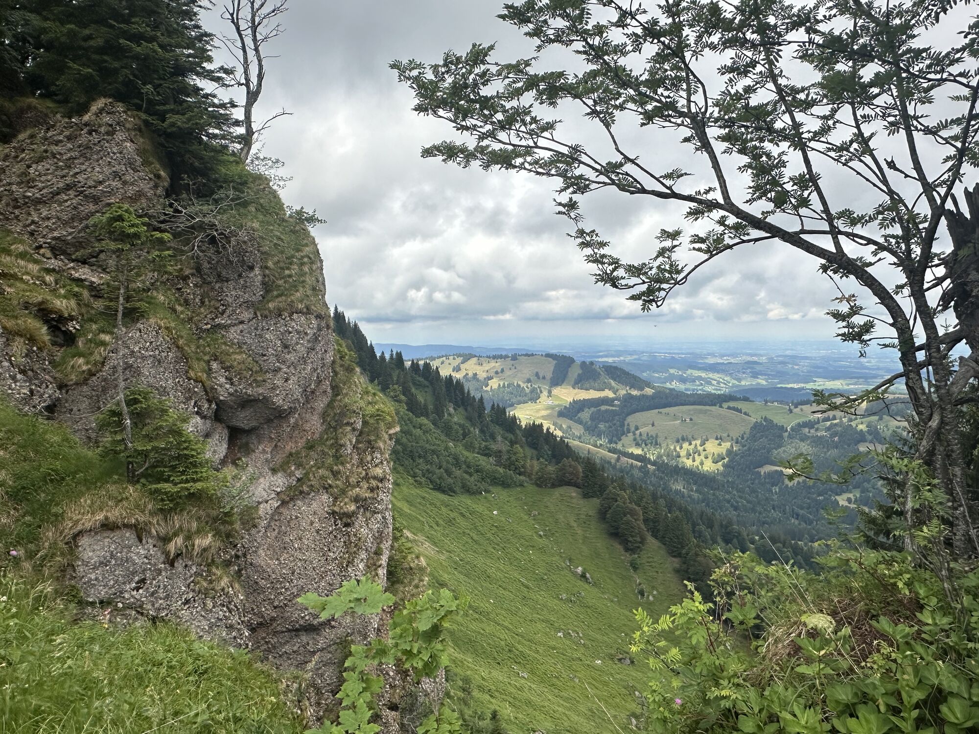
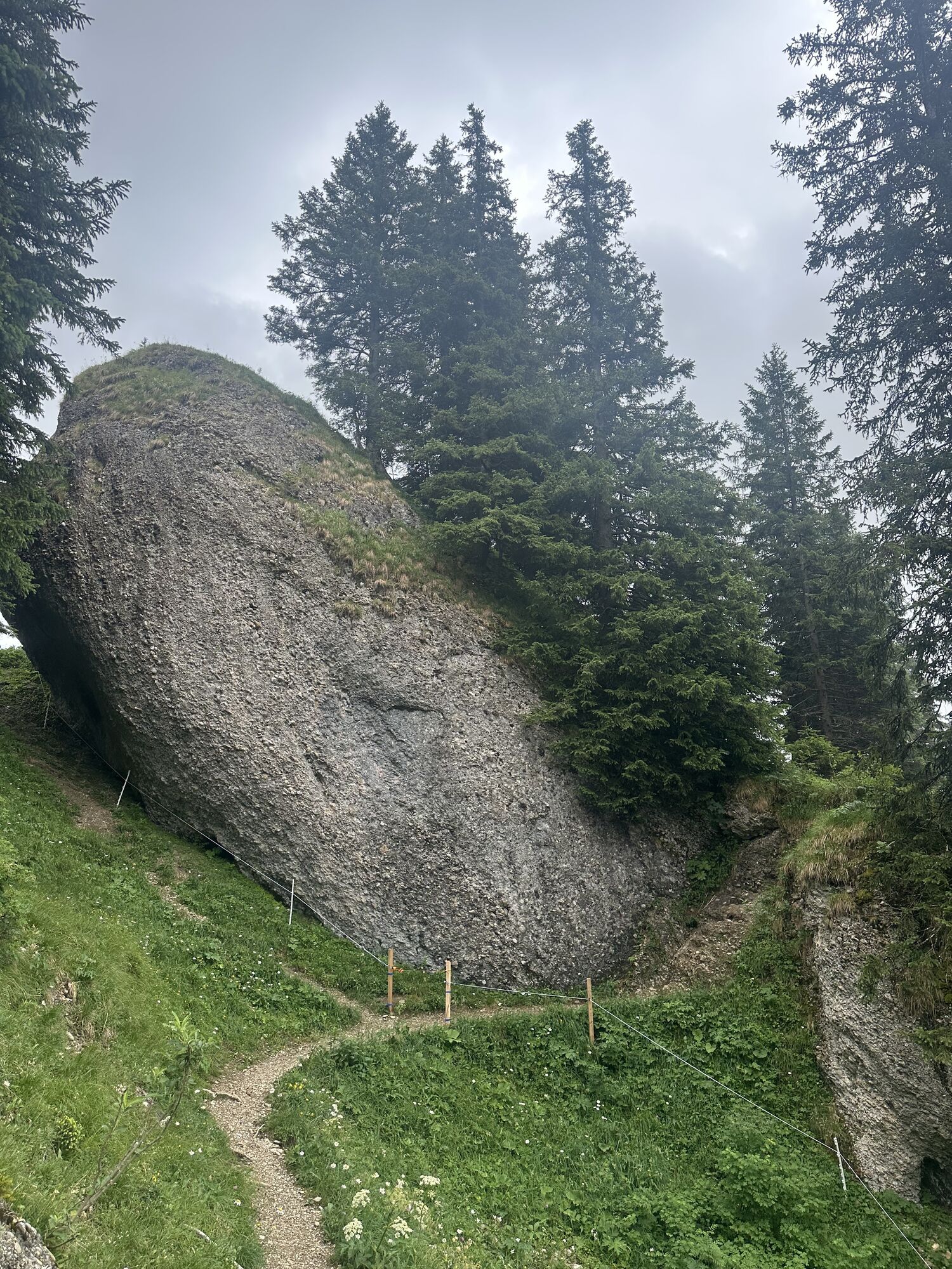
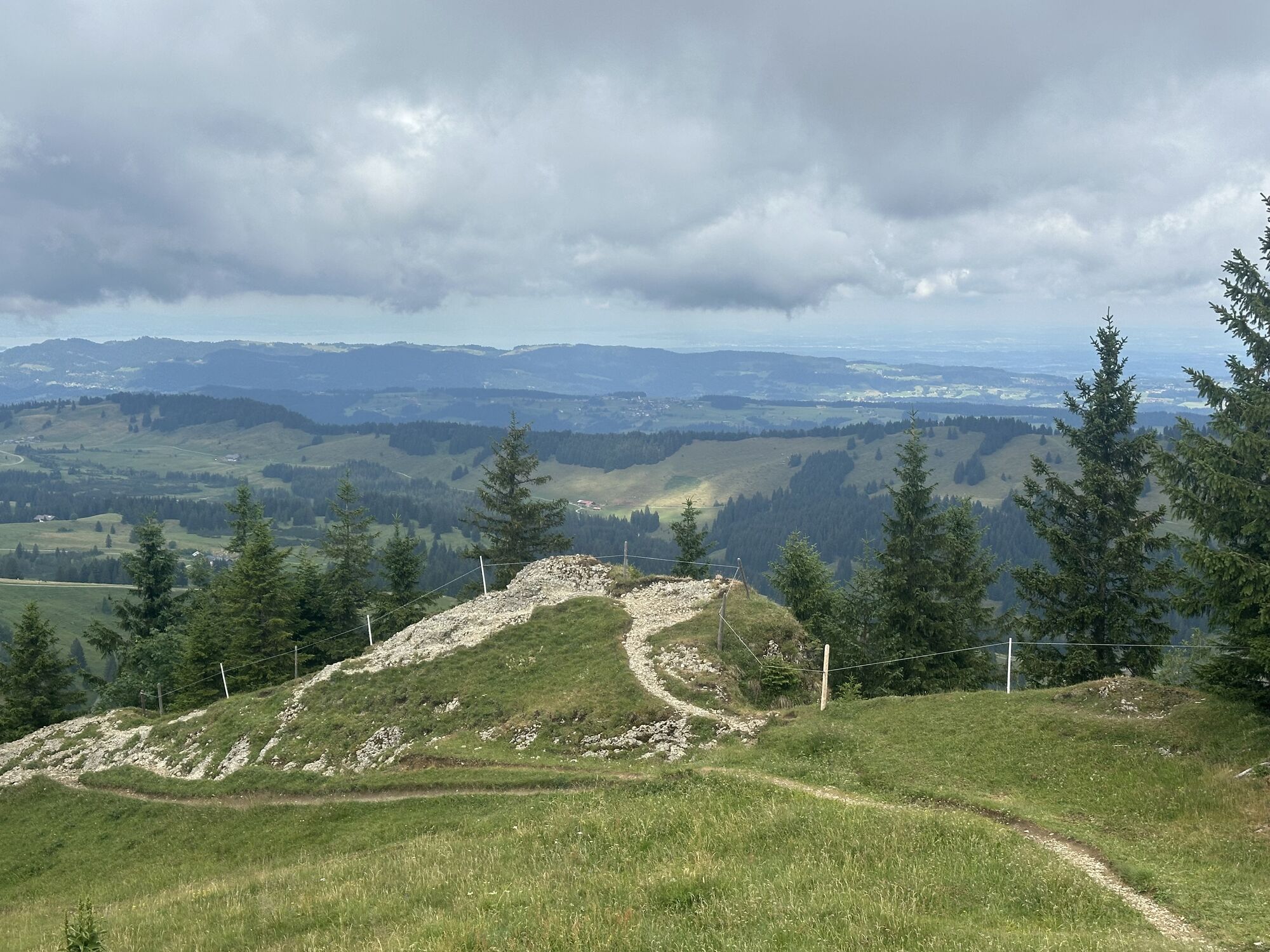
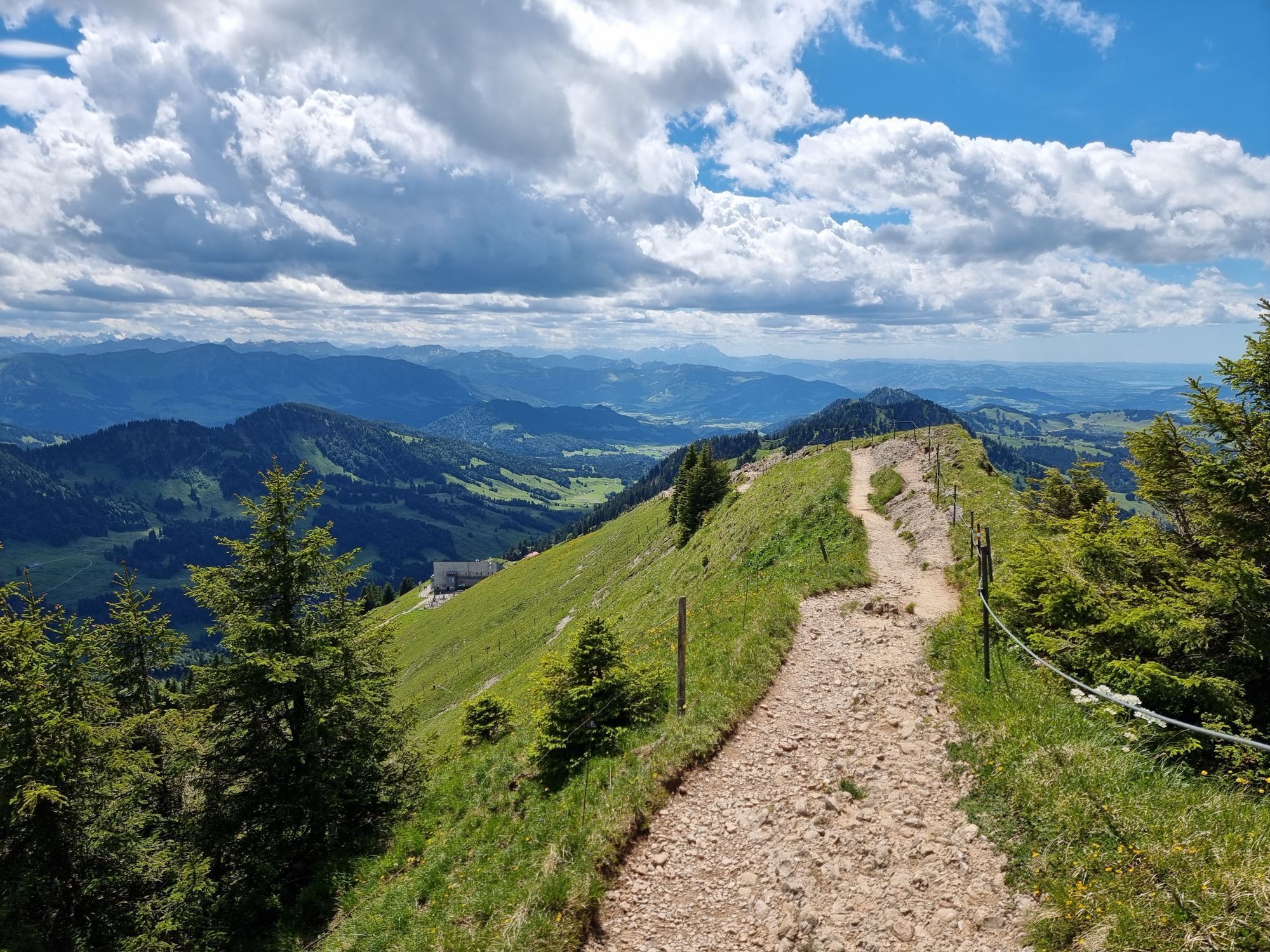
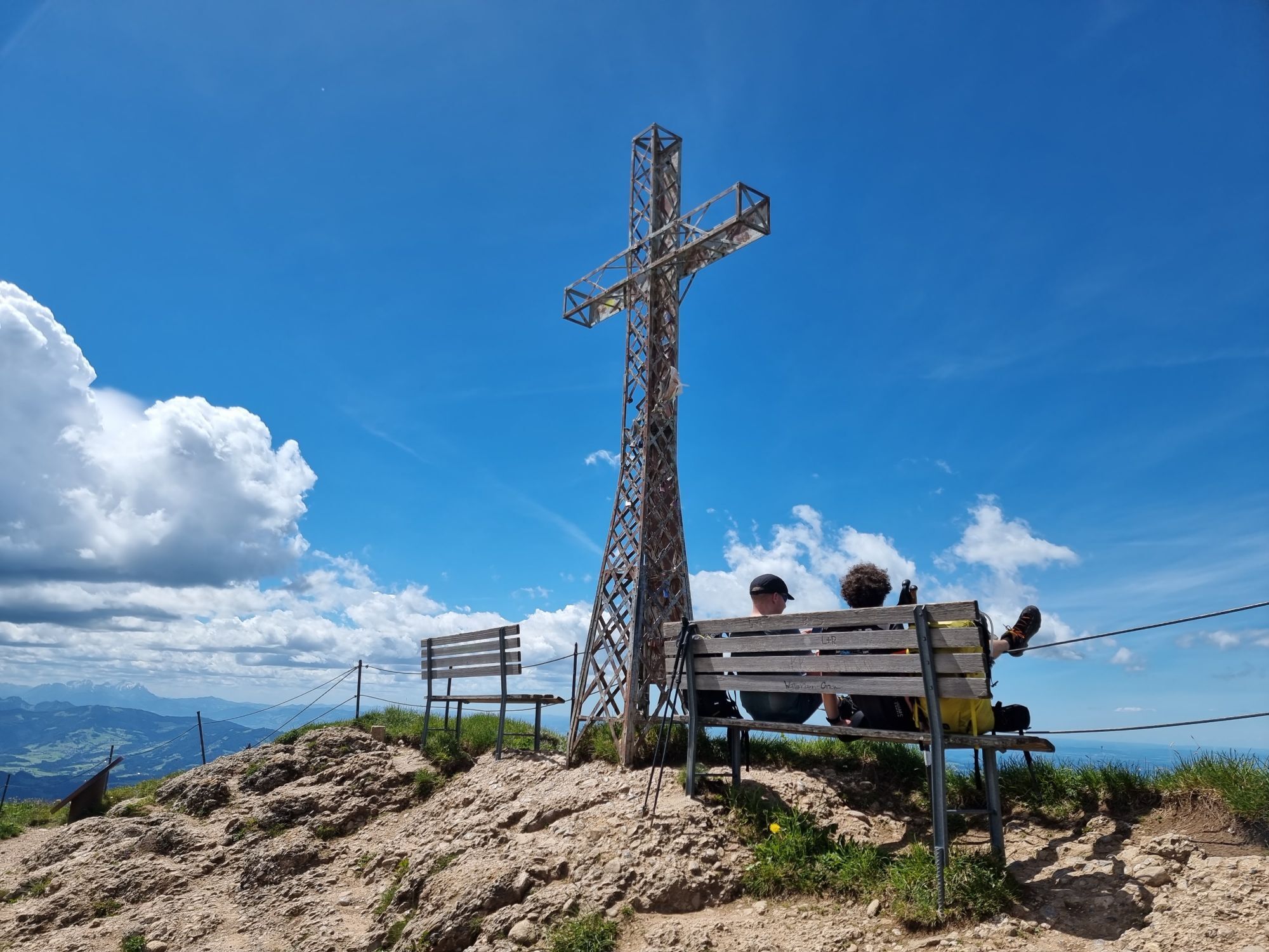
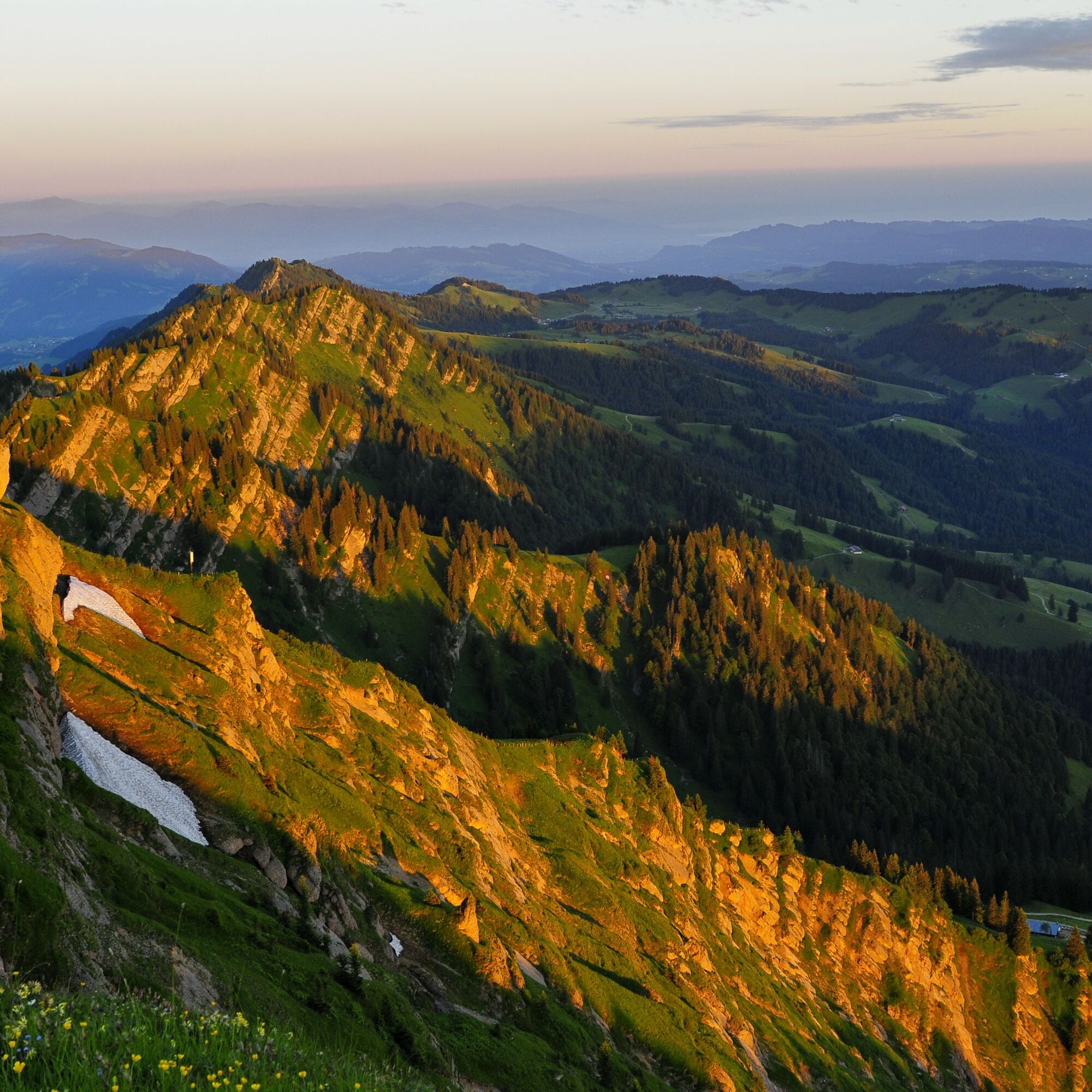
After a good breakfast, we return to the hiking trail that leads us to the Hochgrat. Those who want can make a detour to the summit at 1,834 meters. Our route continues along the ridge westwards. Through the Porta Alpinae gate, we hike over Seelekopf, Hohenfluhalpkopf, and Eineguntkopf to Falken. There we leave the ridge on the north side and descend to the Hörmoos mountain inn, where we enjoy our second evening with a view of the mountain lake.
Day 3:
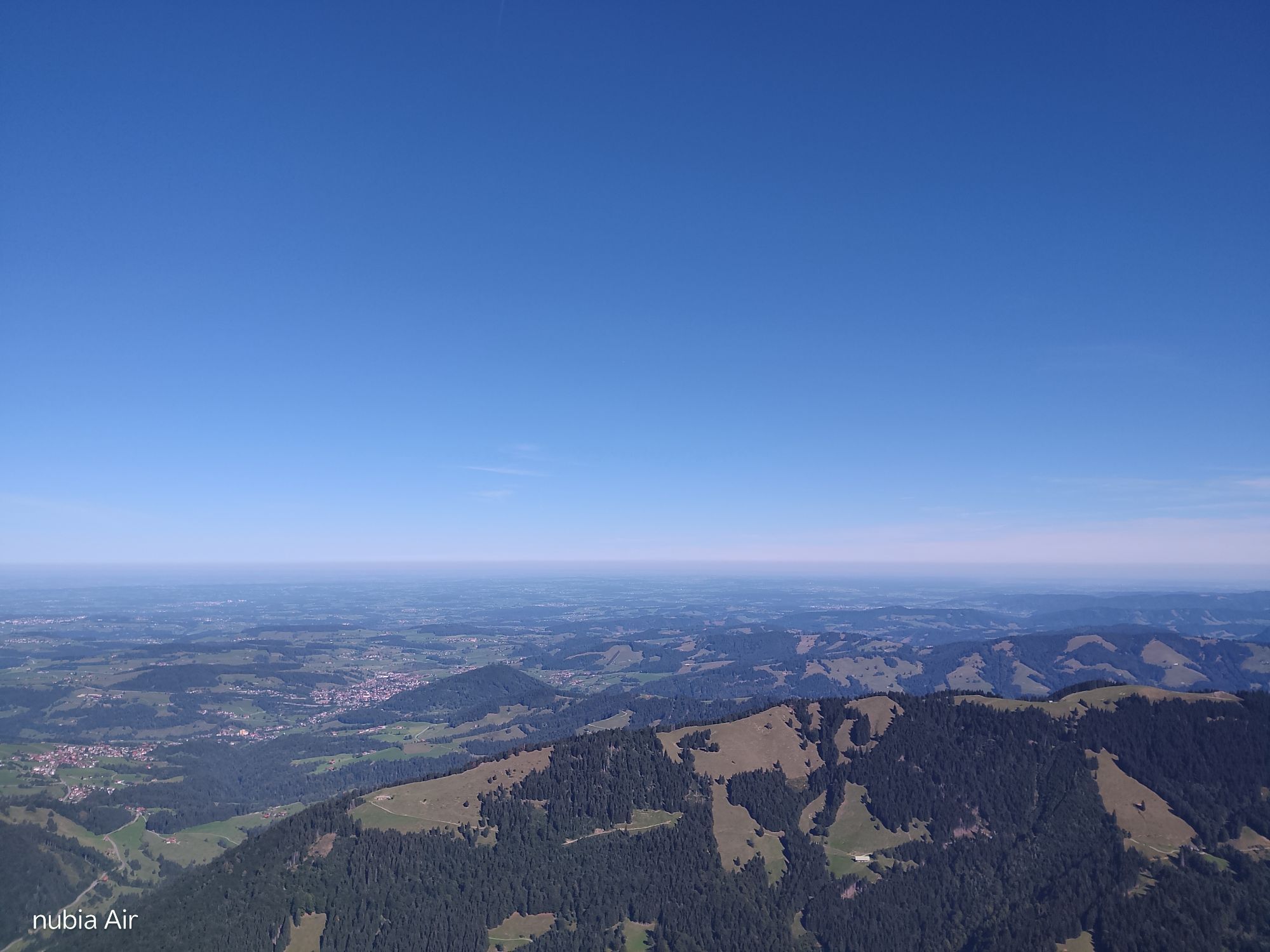
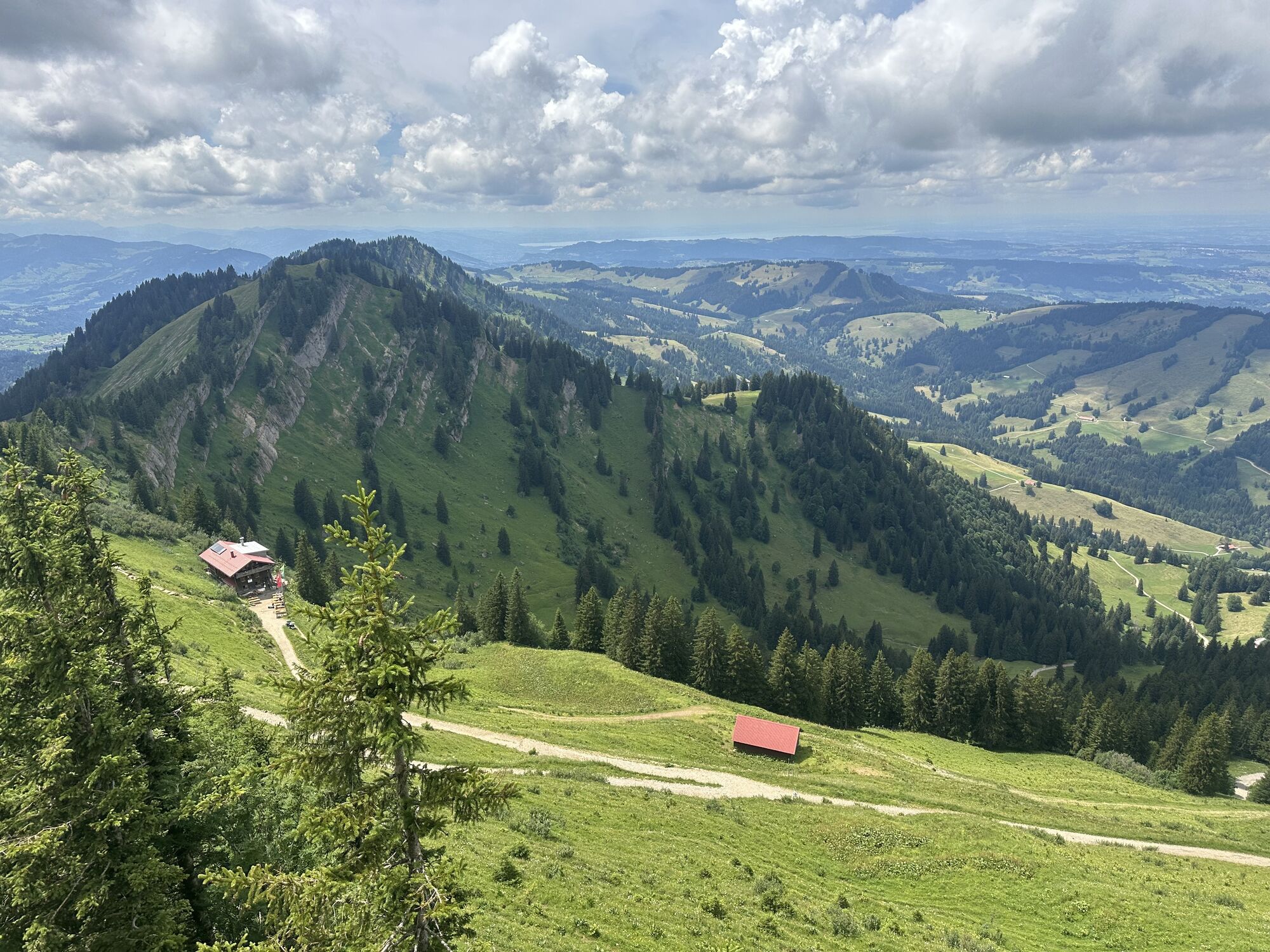
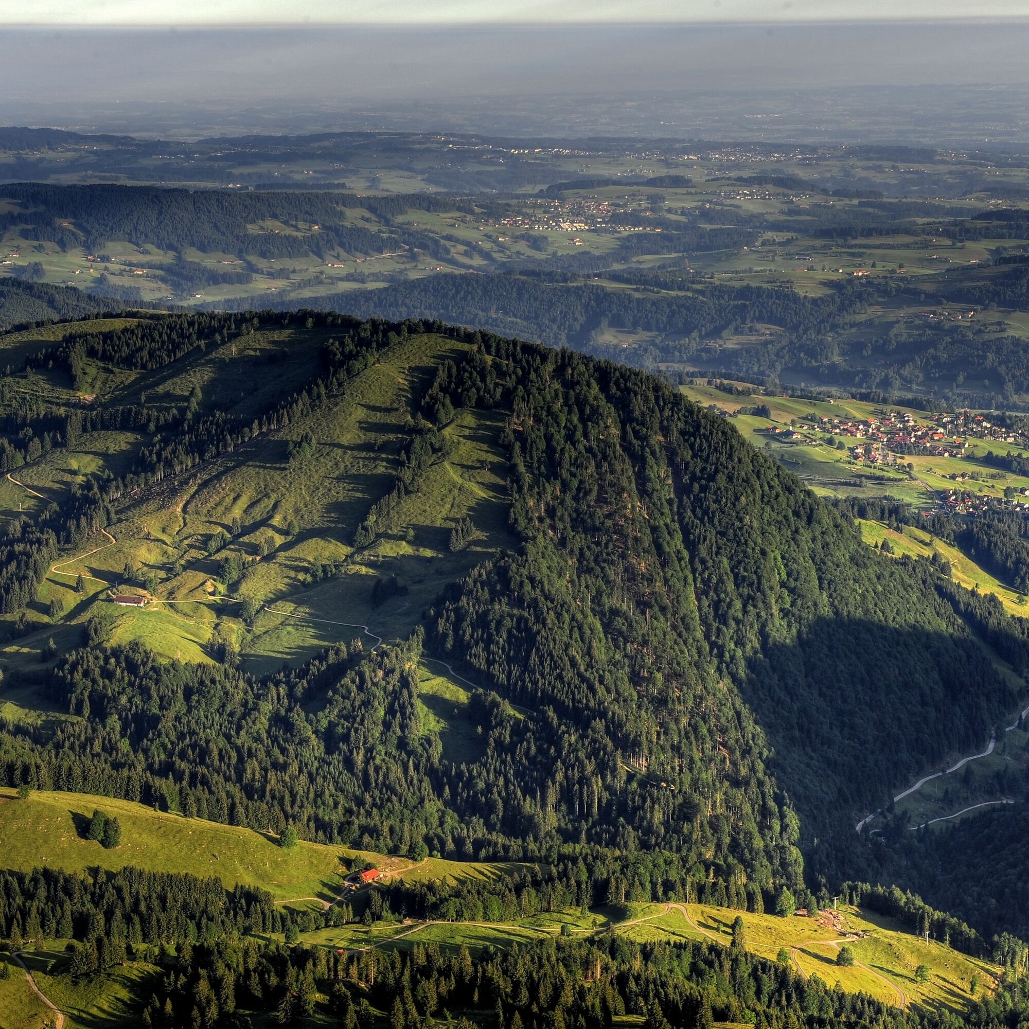
Next morning, first to the Imberg mountain station, from there down via the Imberg alpine pasture to the valley station and on the hiking trail through the golf course to the former Hochgrat guesthouse. Then down to the Weißach and past the Haspel and Sonnhalde alpine pastures. Over the so-called Fuchslöcher we reach the Mooshütte and walk down the alpine path past the Schwandalpe into the valley. The last kilometers back to the Hündlebahn parking lot go leisurely along the babbling Konstanzer Ach.


Ano
Ano
Make sure you have the right equipment (sturdy hiking boots with good tread, sufficient clothing, and provisions).
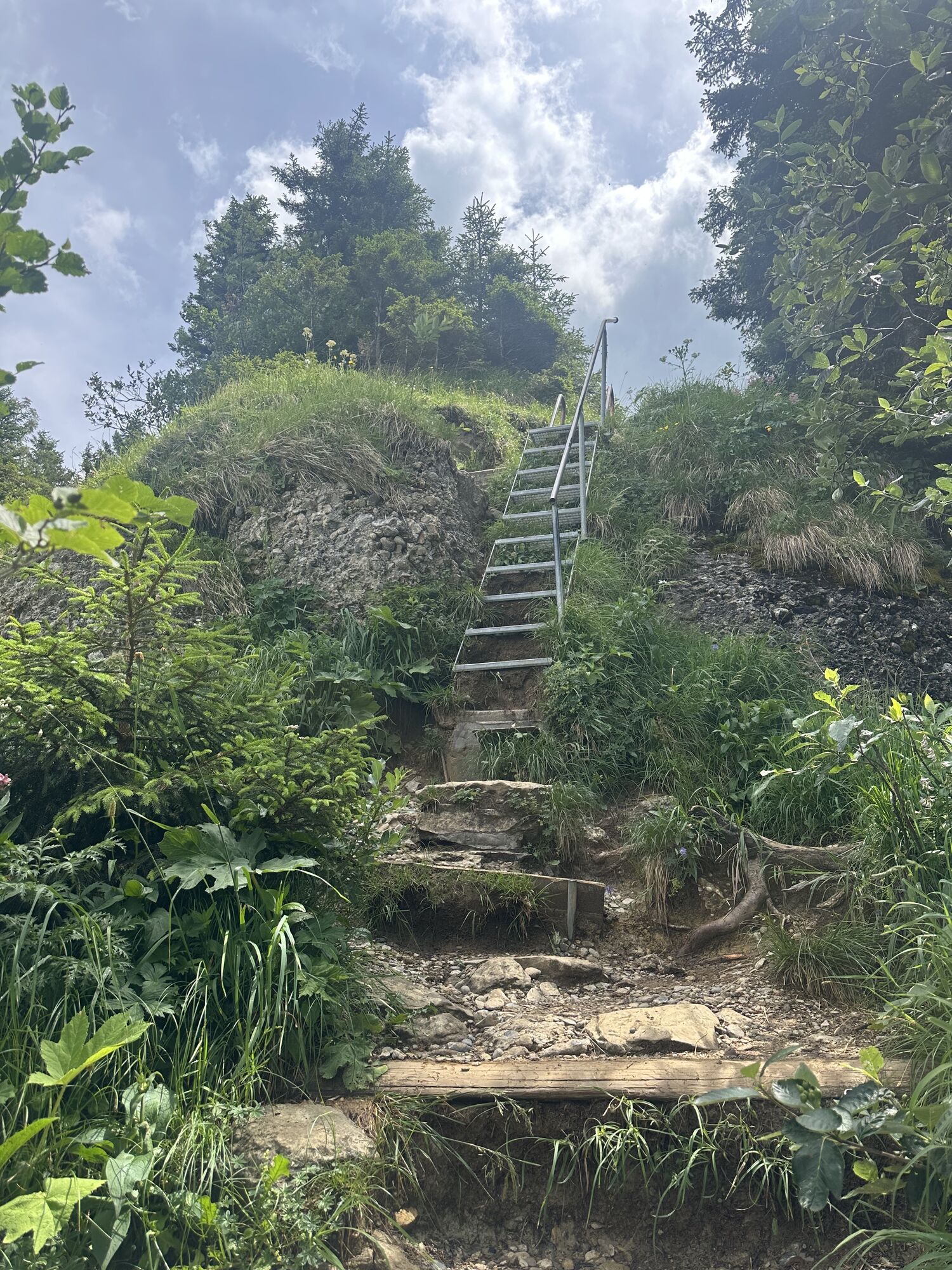
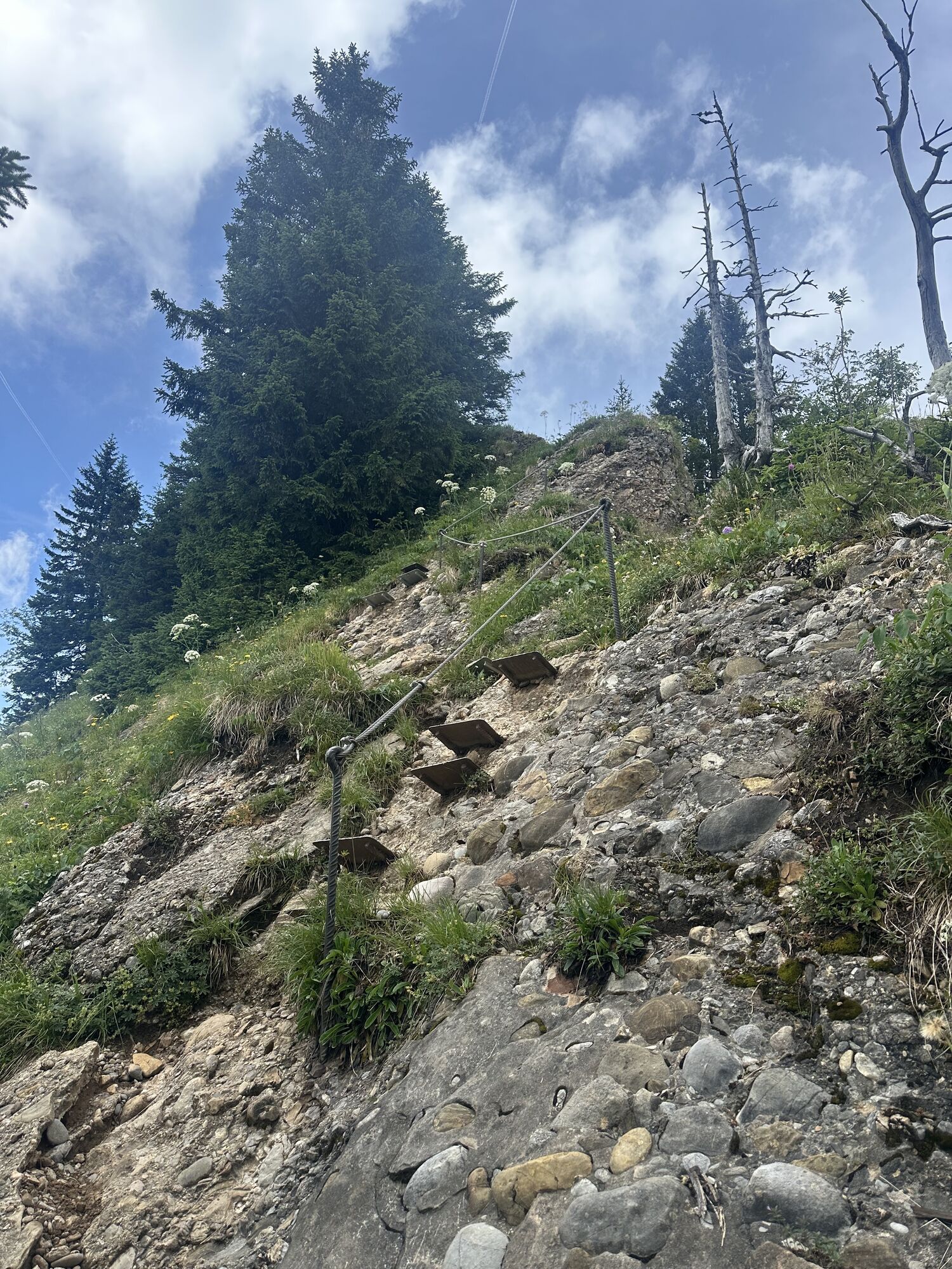
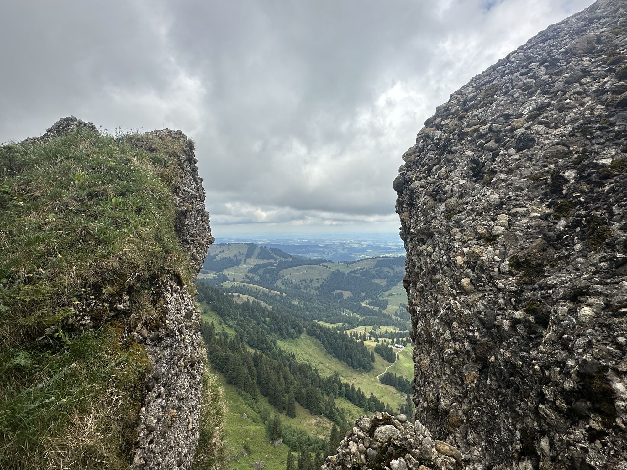
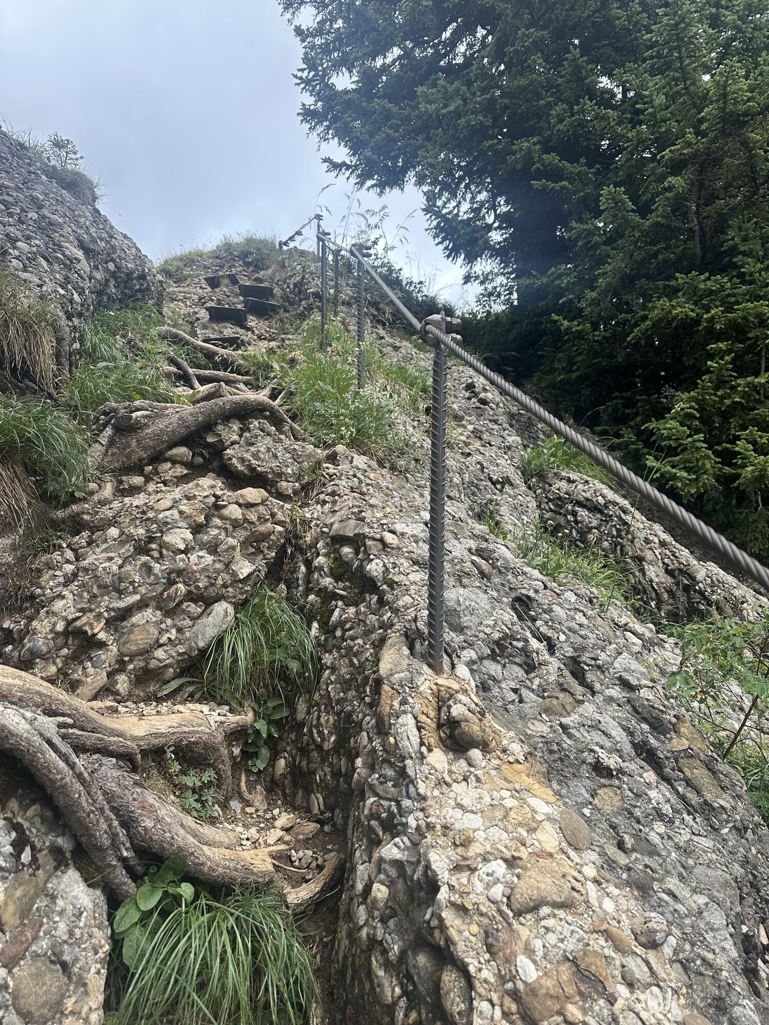
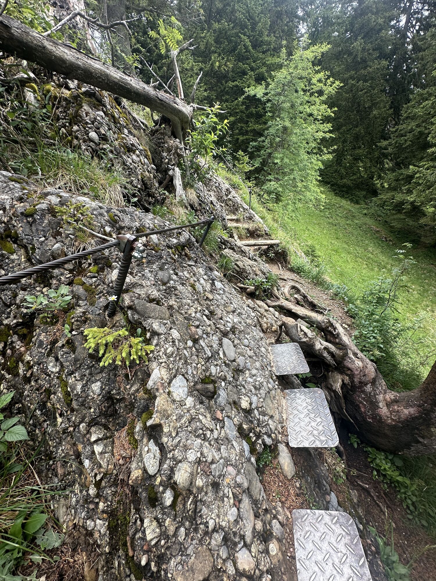
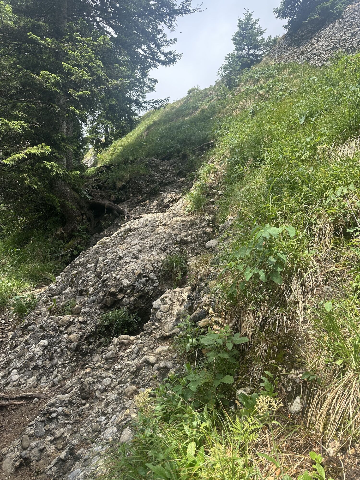
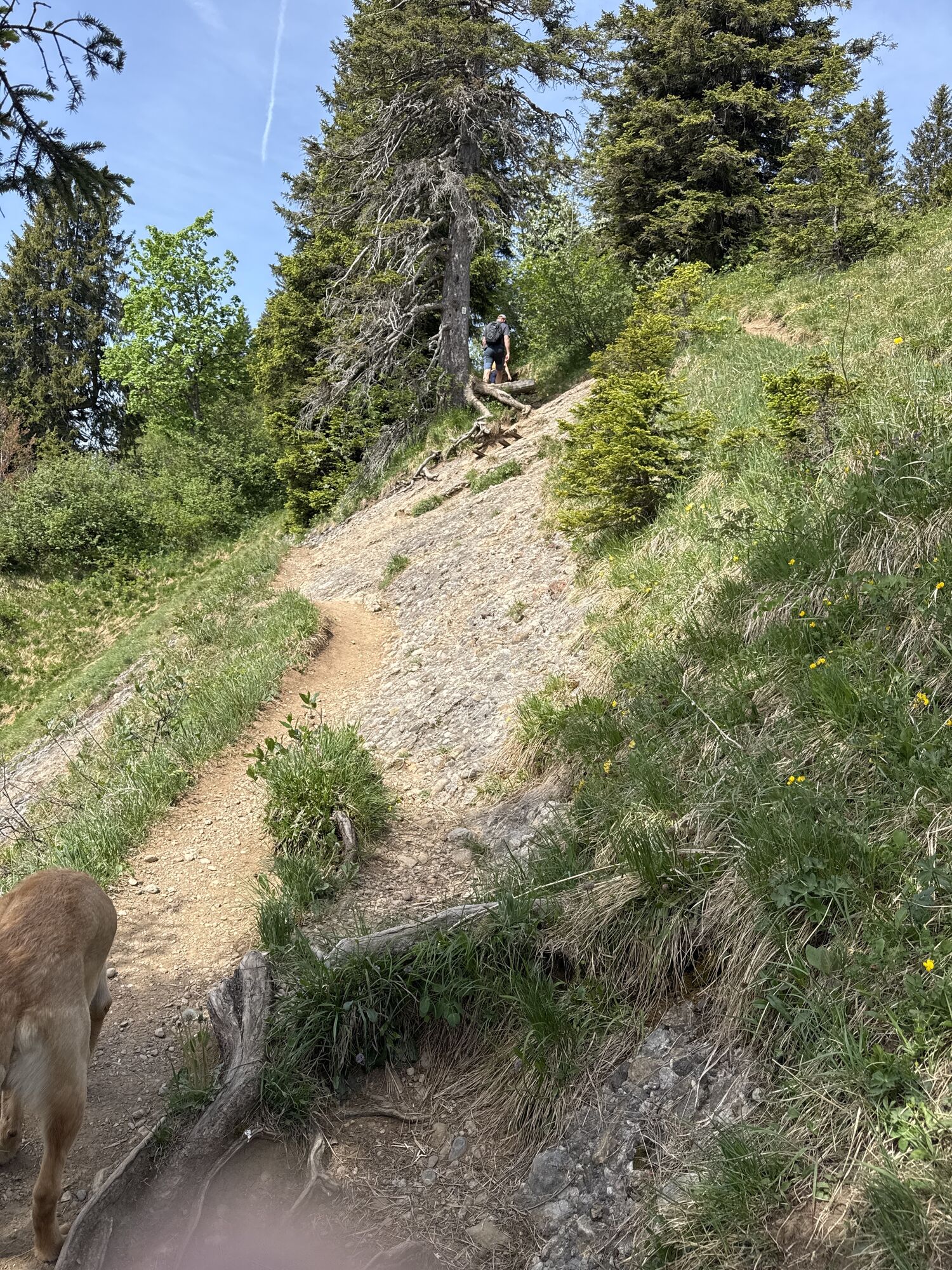
Certain surefootedness and a head for heights are required on the ridge between Hochgrat and Falken. We recommend booking overnight stays in the huts early. Oberstieg Alpe, phone 08386/8178 Hörmoos Alpe, phone 08386/8129
On the B308 towards Oberstaufen, take the "Hündlebahn" exit at the roundabout.
Traveling by bus and train in and around Oberstaufen?
Information, bus schedules, and a map overview at oberstaufen.de/bus-parken
Parking lot at the Hündlebahn valley station
Check weather conditions in advance
Stay on marked trails
112 Euro emergency call or SOS-EU-ALP emergency app
Webové kamery z prohlídky
-
Alpenarena Hochhäderich
-
Hochlitten Riefensberg / Bregenzerwald
-
Hochgratbahn Bergstation
-
Oberstaufen
-
Skilifte Sinswang
-
Oberstaufen - Biohotel Schratt
-
Oberstaufen - Biohotel Schratt
-
Gschwendlift 1 Bergstation
-
Balderschwang - Schelpenbahn
-
Oberstaufen
-
Balderschwang
-
Fluhexpress Berg
-
Alpe Hohenschwand
-
Thaler Höhe
-
Oberstaufen - Rosenalp
-
Fluhexpress Bergstation
-
Hündlebahn Bergstation
-
Imberghaus
-
Thaler Höhe
-
Oberstaufen
-
Balderschwang - Siplinger Suites
-
Schelpenalp Talstation
-
Oberstaufen - Hörmoos
-
Alpsee Bergwelt
-
Alpsee Bergwelt
-
Alpsee Bergwelt - Bärenfalle
-
Alpenarena Hochhäderich


Oblíbené prohlídky v okolí
-
4.7
Winterstaude
středníTuristika 9.30 km -
4.6
Steibis - Buchenegger Waterfalls
středníTuristika 6.47 km -
4.5
Hittisau | Wasserwanderweg
světloTematická stezka 7 km -
4.6
Panoramarundweg Baumgarten - Niedere
světloTuristika 3.76 km -
4.7
Rindalphorn und Hochgrat
středníTuristika 15.6 km -
5.0
Nagelfluh ridge route Hochgrat - Mittag
heavyTuristika 14.0 km -
4.9
Immenstädter Horn
světloTuristika 9.35 km -
4.5
Immenstädter Horn - Gschwender Horn
světloTuristika 10 km -
4.3
Circular route Hündle to the Buchenegger Waterfalls
středníTuristika 9.69 km -
4.8
Grosser-Alpsee-Rundweg-11-km
světloTuristika 10.9 km
Pěší turistika a stopování


Nenechte si ujít nabídky a inspiraci pro vaši příští dovolenou
Vaše e-mailová adresa byl přidán do poštovního seznamu.





