







Faulbach: Hike Breitenbrunn-A


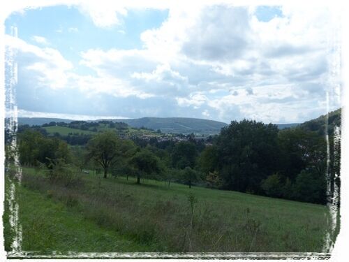
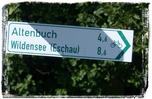
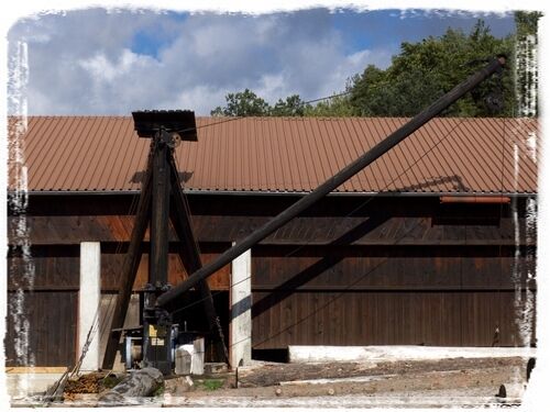
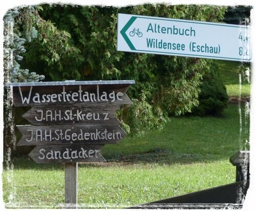
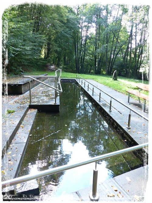
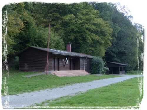
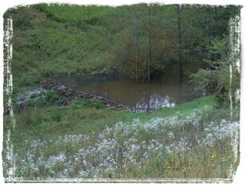
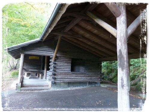
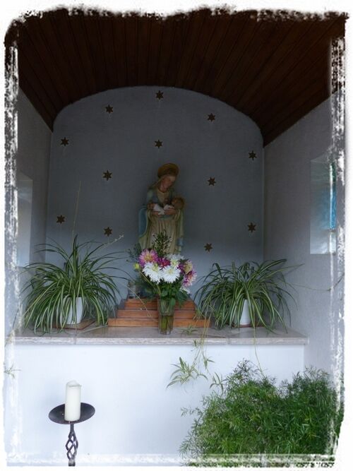



The car is parked in the parking lot at the multipurpose hall on Faulbacher Straße in Breitenbrunn. This is also the starting point of the hike. First, the path leads about 150 meters to Sandackerstraße. There the path follows the signpost (photo: 1). After another 150 meters, a contract sawmill is on the left. This used to be operated with water power. Even today, it is still used, powered electrically. Worth seeing here is the old wooden crane (2). At the sawmill, the path turns left and follows the signpost (3). After another 600 meters is the Breitenbrunn water treading facility in the valley (4). After 300 meters, also in the valley, is the Breitenbrunn youth campsite (5). At the high-voltage line corridor, a beaver dam (6) can be seen in the creek. After about 2 kilometers, on the right side of the cycle path, the Altenbuch shelter (7) can be seen. After another 300 meters, there is a small Marian chapel (8) on the path.
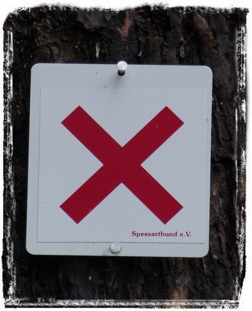
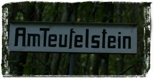
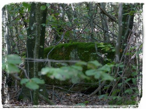
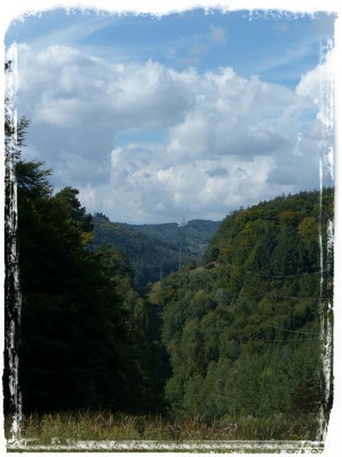
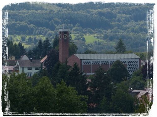
There, the path follows the signpost "Sports field" (9). The path now follows the "X" marking (10) of the Spessartbund. After 1.5 kilometers, on the left side in the forest, the sign "Am Teufelstein" (11) can be seen. To the right is the Teufelstein (12). In old times, it was probably possible to hear voices from the valley of Breitenbrunn and Stadtprozelten here when the wind was favorable. Also, the valley of the Faulbach was not as forested at that time as it is today. After 500 meters, the path reaches the Sandacker intersection. There the view along the power line corridor over the ridges of the Spessart is worth seeing (13). The now paved Sandackerstraße leads the path back to Breitenbrunn. From the forest edge, the village of Breitenbrunn (14/15) can be seen. Passing the sawmill, the path leads back through the village again on Sandackerstraße to the parking lot at the multipurpose hall on Faulbacher Straße.
Points of interest: sawmill, youth campsite, water treading facility
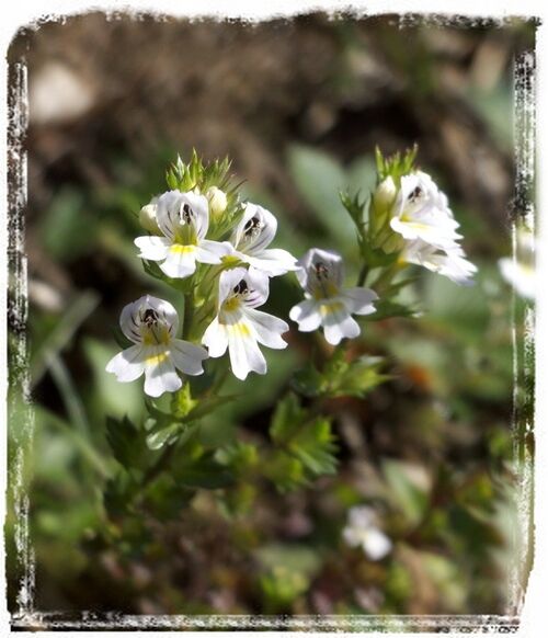
- botanical highlights: eyebright (17)
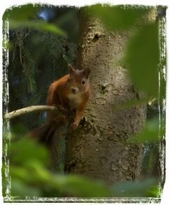
- faunal highlights: stag beetles in May and June (16), squirrels in
autumn (18)
By car via Miltenberg or Wertheim at the roundabout of the Faulbach bypass road towards Breitenbrunn/Altenbuch
By Westfrankenbahn from Aschaffenburg or Wertheim to Stadtprozelten, then continue to Faulbach by bus line 83
Parking lot at the multipurpose hall on Faulbacher Straße in the Breitenbrunn district
The numerous flowers, blossoms, butterflies, and other insects in the open area of the power line corridor. Beaver dam at the Faulbach.
Oblíbené prohlídky v okolí
-
5.0
On the way to Himmelreich
středníTuristika 15.0 km -
5.0
Dorfprozelten: Kollenburg-Chapel-Route
středníTuristika 11.8 km -
4.0
Around the Kaffelstein
světloTuristika 4.71 km -
Wertheim - Urphar - Wertheim
středníTuristika 12.8 km -
MainRadweg Wertheim bis Miltenberg
Jízda na kole 35.7 km -
Altenbuch Forest House Route
světloTuristika 14.8 km -
4.0
Elsenfeld district Rück: Via Eichelsbach and the Himmelthal monastery through the vineyards back to the car park in Churfranken
heavyTuristika 9.32 km -
South Spessart Trail
heavydálková pěší trasa 60.8 km -
4.0
Wein-Tauber hiking trail - circular route from Bronnbach
středníTuristika 10.4 km -
4.0
Schleusen-Wanderung
světloTuristika 7.15 km
Pěší turistika a stopování


Nenechte si ujít nabídky a inspiraci pro vaši příští dovolenou
Vaše e-mailová adresa byl přidán do poštovního seznamu.





