







Bildstockweg Faulbach - Breitenbrunn


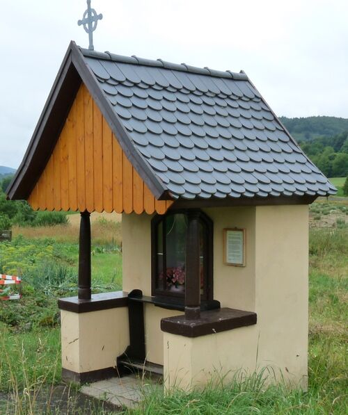
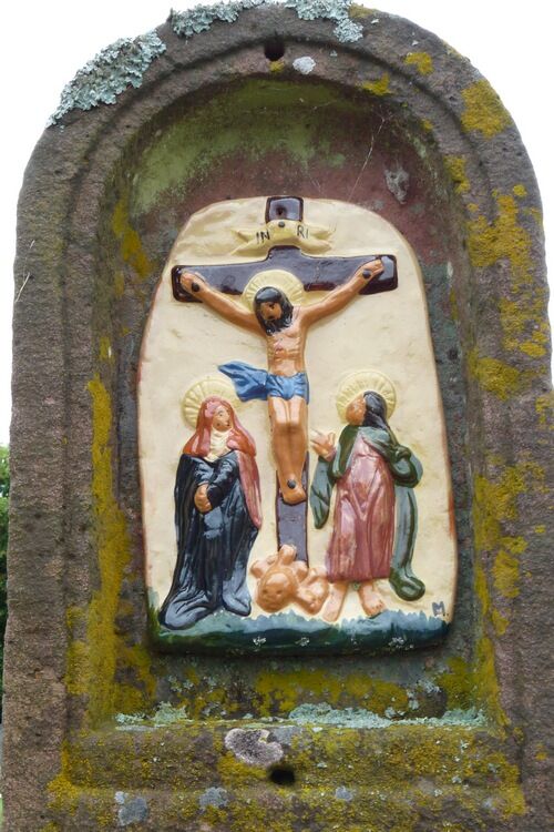
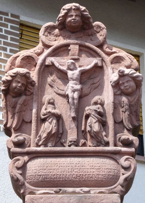
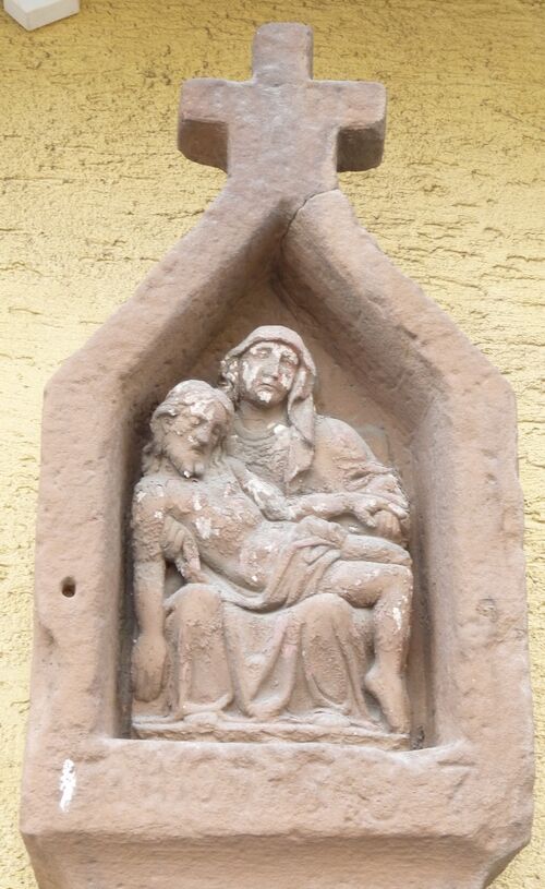


The starting point for this easy hike, which is also suitable for strollers, is the parking lot at the cemetery in Breitenbrunn.
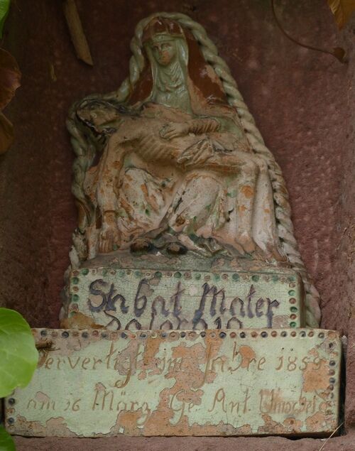
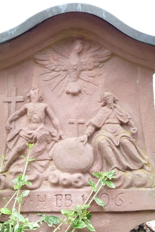
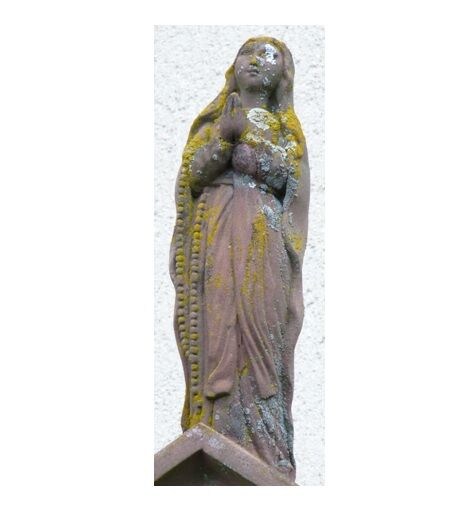
From the parking lot in Breitenbrunn, follow the bike path towards Faulbach. At the new cemetery in Breitenbrunn, the first wayside shrine can be seen. This is the oldest wayside shrine in Breitenbrunn. Not far from there is the next wayside shrine.
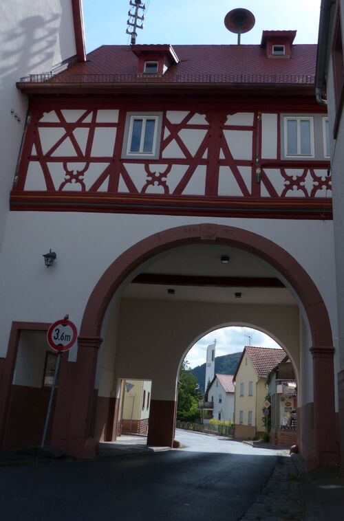
After one kilometer, the bypass road is crossed. Continue on Dornrosenstraße to Bahnhofstraße and along it to Hauptstraße. Turn left onto Hauptstraße. On the right side of Hauptstraße, there is a café. After 100 meters, another wayside shrine can be seen on the right side; after another 100 meters, the next wayside shrine is on the left side. Hauptstraße leads through the historic Faulbach town hall.
On the bridge over the Faulbach is the wayside shrine erected by the citizens of Faulbach in 1983 to celebrate the 700th anniversary.
At the church, the path turns from Hauptstraße onto Haaggasse. At the corner of Haaggasse/Schanz, in a front garden, is the wayside shrine that used to stand at the threshing barn. After three kilometers, the bypass road is crossed again. Continue on the connecting path "Fuhrweg" towards the district Breitenbrunn. Between the chestnut trees is another wayside shrine.
Continue to the riding hall of the Breitenbrunn riding club. On the left side there is also a wayside shrine.
Retrace your steps along the same path for 200 meters. Turn right onto a gravel path leading to a country guesthouse. On the parking lot to the right is the last wayside shrine of the hike.
On Mühlenstraße, the path leads straight back to the parking lot at the cemetery.
Ano
By car from the A3 via Wertheim or Marktheidenfeld and from the B469 via Miltenberg to Faulbach and Breitenbrunn.
By the Westfrankenbahn from Aschaffenburg or Wertheim to Stadtprozelten, then further to Breitenbrunn with bus line 83
Parking lot at the cemetery in the Breitenbrunn district
The Grohberg is a so-called horseshoe hill. This means that until about 4.5 million years ago the Main flowed around the Grohberg on the side of Breitenbrunn and from the Gußhof. During this time, the current riverbed was formed.
Oblíbené prohlídky v okolí
-
5.0
On the way to Himmelreich
středníTuristika 15.0 km -
5.0
Dorfprozelten: Kollenburg-Chapel-Route
středníTuristika 11.8 km -
4.0
Around the Kaffelstein
světloTuristika 4.71 km -
Wertheim - Urphar - Wertheim
středníTuristika 12.8 km -
MainRadweg Wertheim bis Miltenberg
Jízda na kole 35.7 km -
4.5
Homburg Wine Hiking Trail
středníTuristika 7.65 km -
Altenbuch Forest House Route
světloTuristika 14.8 km -
South Spessart Trail
heavydálková pěší trasa 60.8 km -
4.0
Wein-Tauber hiking trail - circular route from Bronnbach
středníTuristika 10.4 km -
4.0
Schleusen-Wanderung
světloTuristika 7.15 km
Pěší turistika a stopování


Nenechte si ujít nabídky a inspiraci pro vaši příští dovolenou
Vaše e-mailová adresa byl přidán do poštovního seznamu.





