


Hike - Loisach Circular Route near Großweil
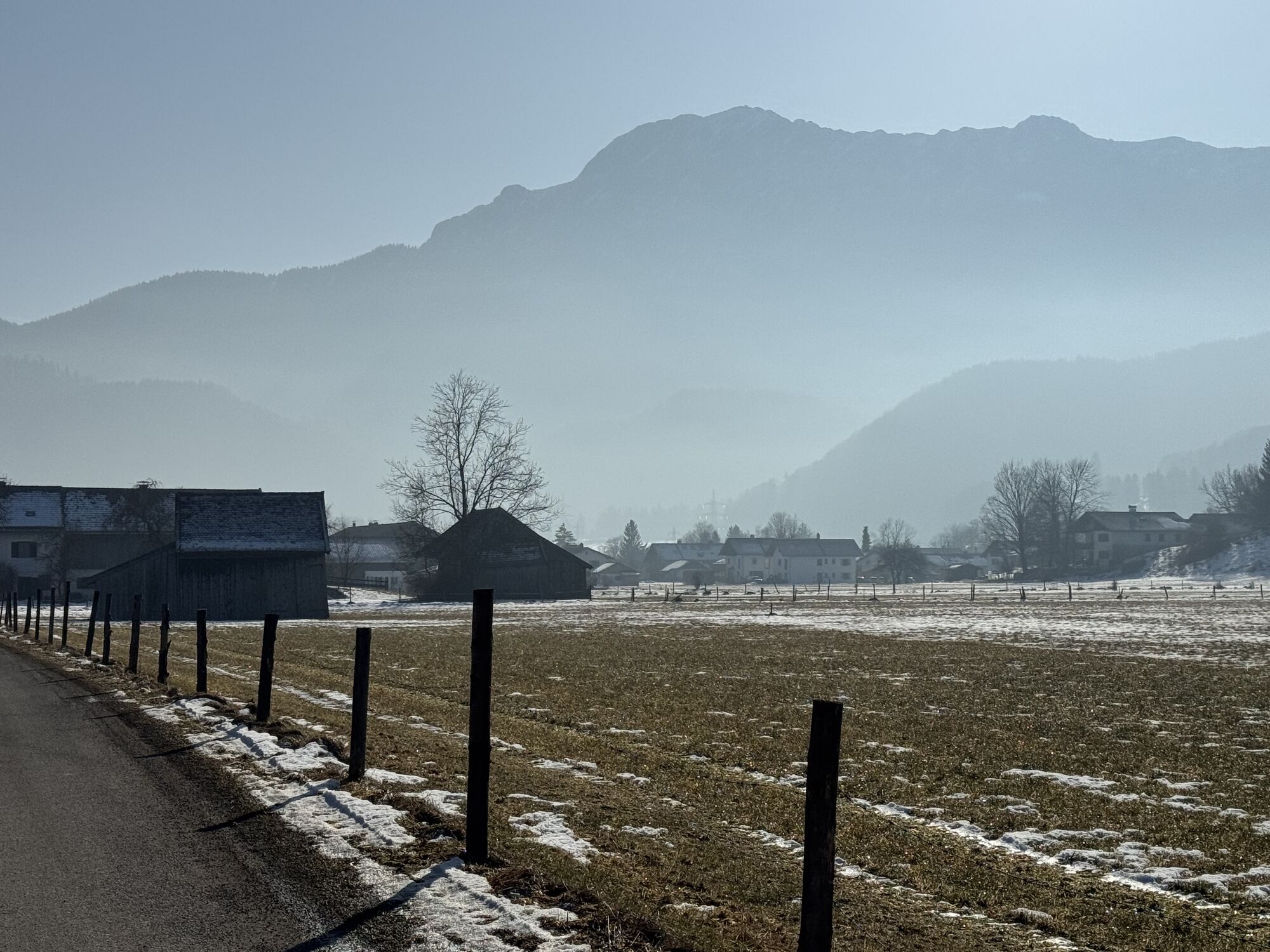
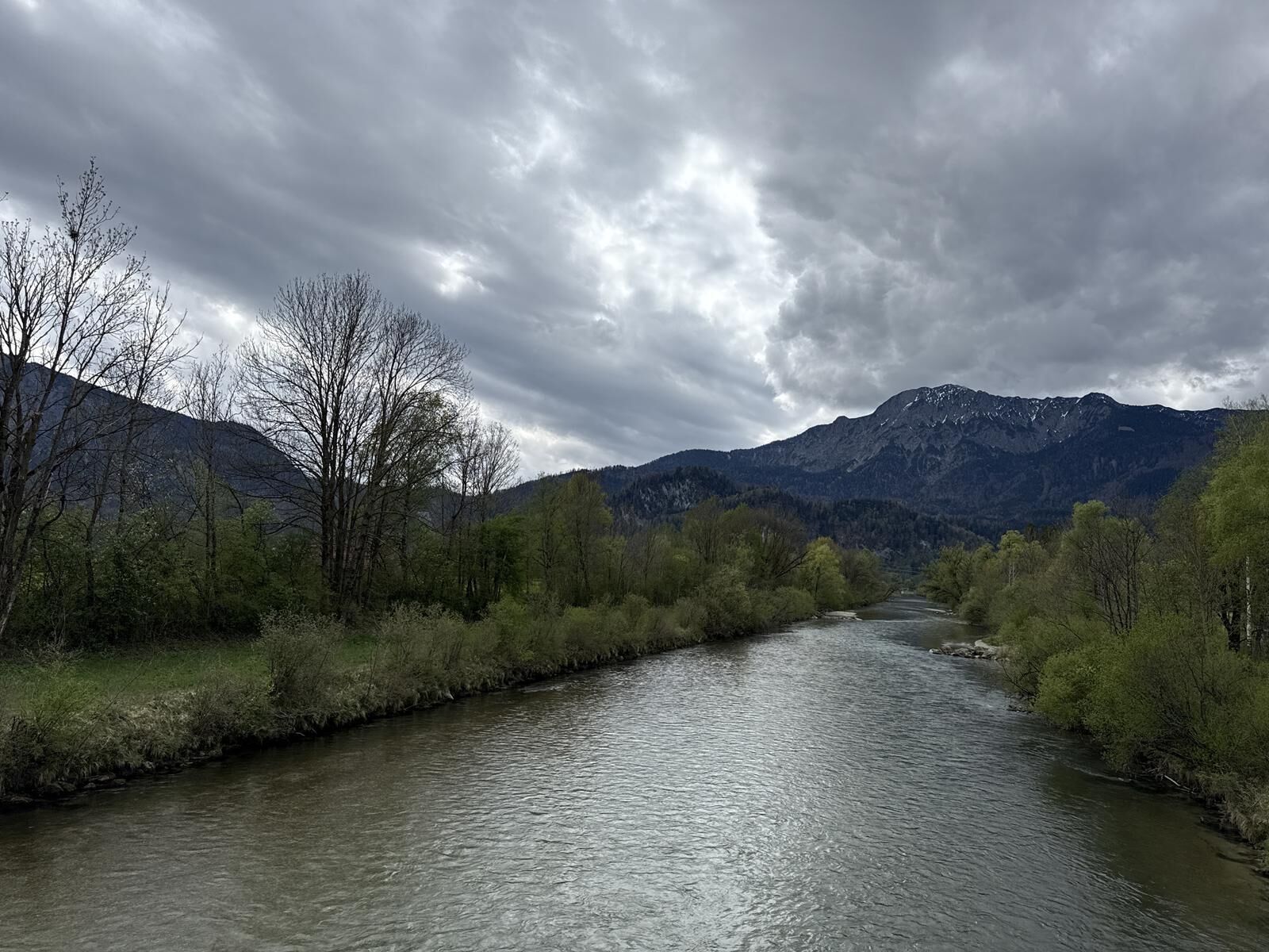

Although you are not hiking by the sea here but along the Loisach River, and although Frisian sheep are not grazing on the meadows behind the dike but Bavarian cows, and although the views in the background are not of a wide horizon but rather of the nearby local mountains Jochberg, Herzogstand, and Heimgarten, you cannot deny this impression when you walk from the hiking parking lot at the Loisach Bridge in Großweil along the river towards Schlehdorf.
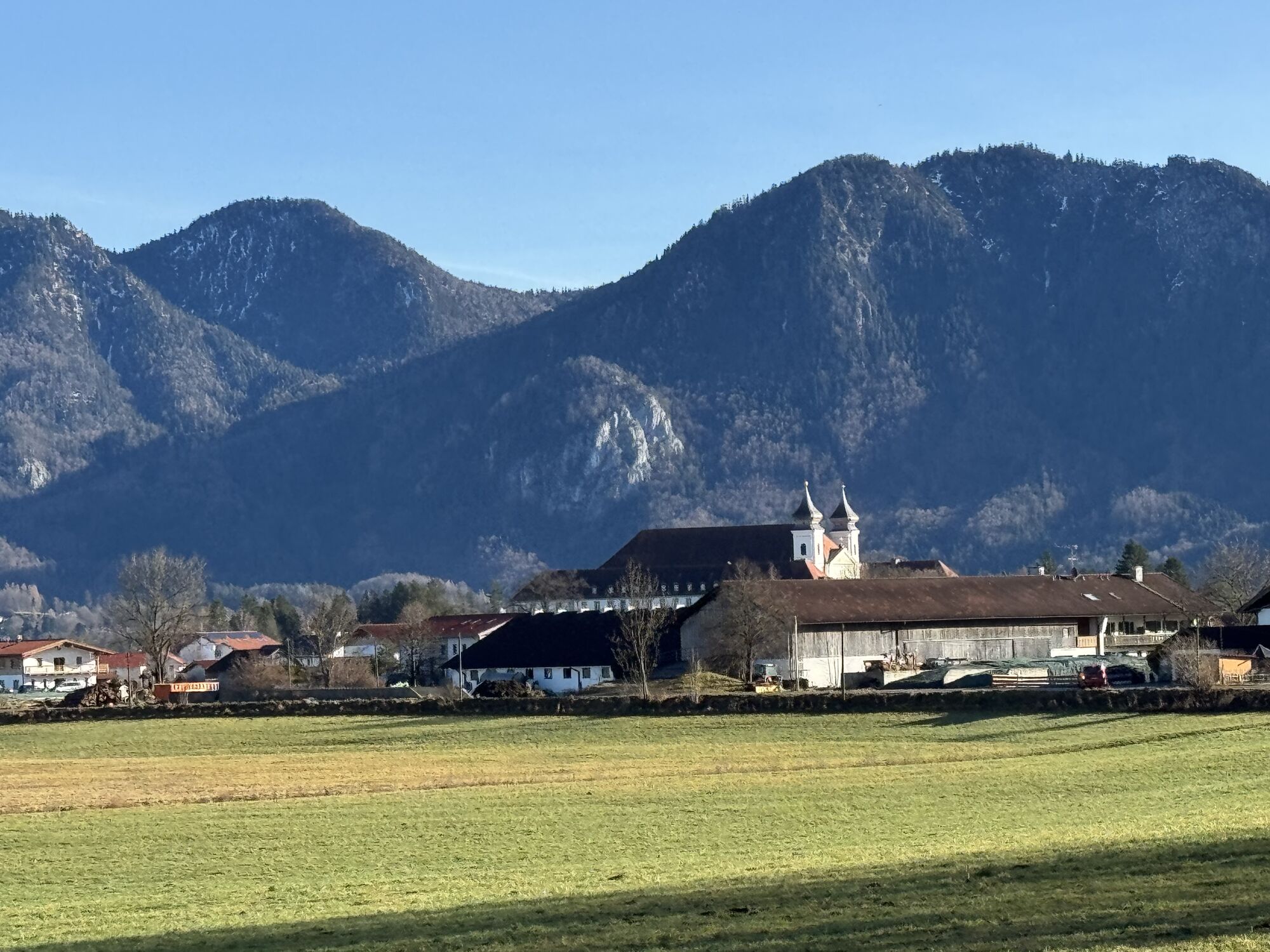
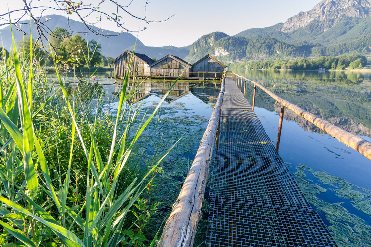
In this town, marked by the distinctive Missionary Dominican convent, hikers can enjoy not only delicious Bavarian dishes but also fine fish specialities in one of the numerous inns. They also have the opportunity to visit the impressive St. Tertulin Church or to take a leisurely motorboat ride on Lake Kochel.
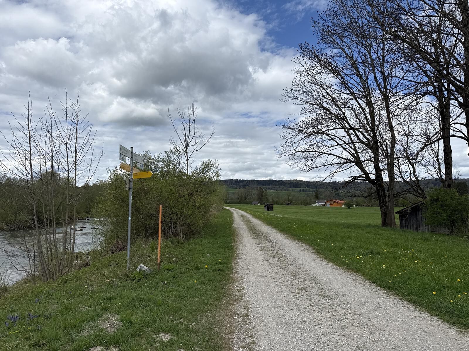
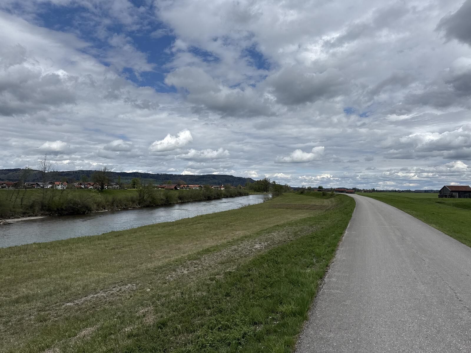
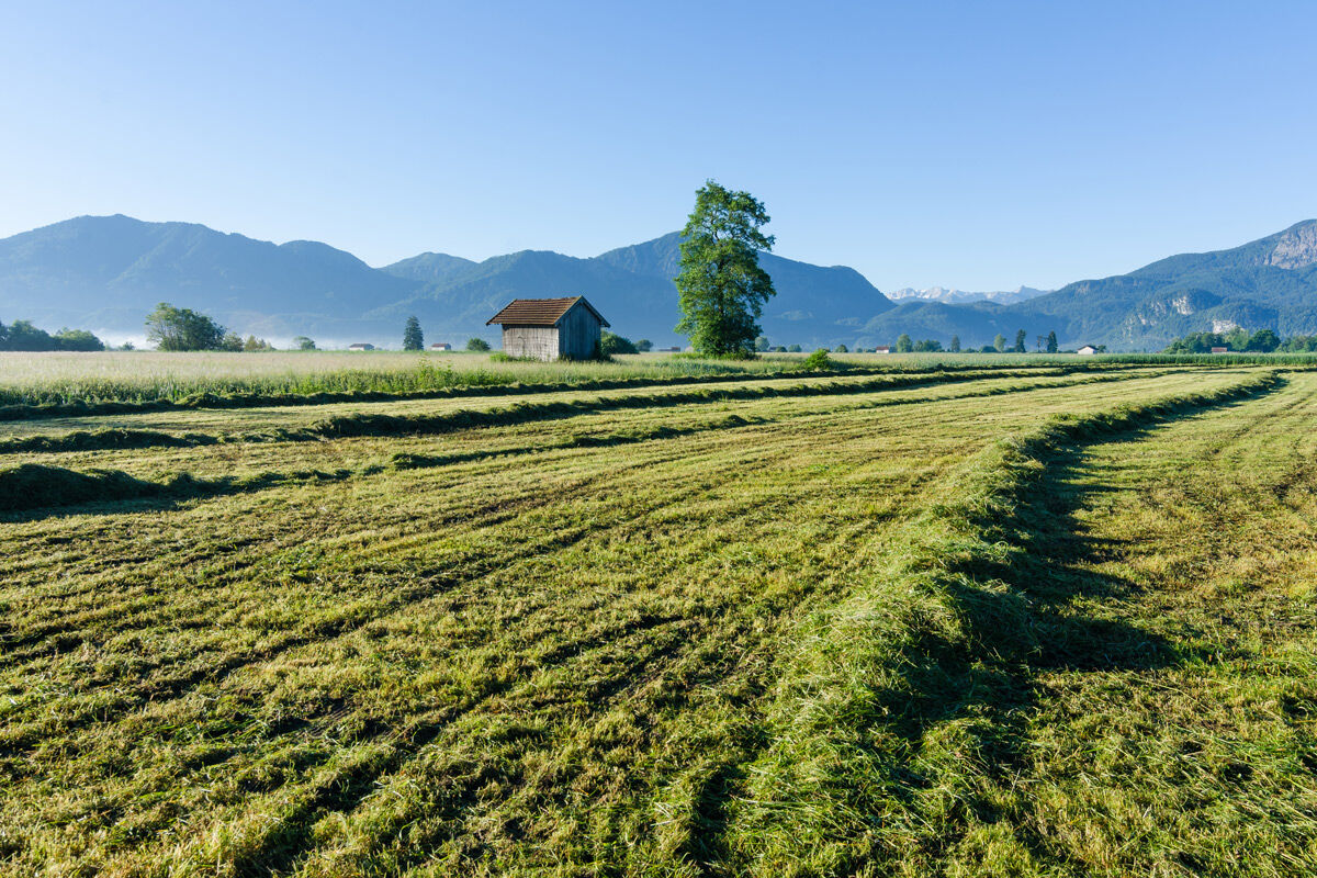
Returning mostly along field and meadow paths, the route leads back to Großweil, where a visit to the open-air museum of the Upper Bavaria district at Glentleiten, a visit to a large model railway landscape, or a concluding rafting trip on the Loisach is recommended—along which you have just walked.
Ano
In an emergency, please contact the nearest rescue control center. Regardless of your location, you can reach it throughout Germany by dialing 112.
The hiking and cycling paths we describe primarily serve forest management; their use is at your own risk (§ 14 para. 1 BWaldG).
From Munich via the A95 and from Garmisch-Partenkirchen via the B2 and A95
Bus stop: Großweil Town Hall
Bus lines through Großweil:
9611 Kochel - Schlehdorf - Großweil - Ohlstadt - Murnau (Note: The open-air museum Glentleiten is only served from April to October!)
9613 Penzberg - Benediktbeuern - Kochel - Schlehdorf
9617 Penzberg - Iffeldorf - Antdorf - Habach - Sindelsdorf - Penzberg
Guests of the "Blue Land" region as well as the "Ammergau Alps" can use a variety of bus lines and the train lines from Murnau to Oberammergau and from Uffing to Garmisch-Partenkirchen free of charge with the electronic guest card or the KönigsCard. More information is available at: https://www.dasblaueland.de/Service/mobil
Parking lot at the Loisach Bridge
Oblíbené prohlídky v okolí
-
3.7
Benediktenwand (1801 m)
Turistika 23.0 km -
4.0
Wasserfall-Weg Jachenau
světloTuristika 9 km -
4.8
Rundweg Heimgarten und Herzogenstand
středníTuristika 15.0 km -
4.8
Jochberg
světloTuristika 7.56 km -
4.6
Brauneck zum Latschenkopf Rundweg
středníTuristika 6.30 km -
4.6
Murnauer Moos
světloTuristika 11.5 km -
4.6
Mountain route - Heimgarten via Käseralm
středníTuristika 10.8 km -
4.6
"Rabenkopf" Rundweg
Turistika 11.0 km -
4.7
Herzogstand
středníTuristika 7.28 km -
4.3
Rabenkopf
středníHorská turistika 17.1 km
Pěší turistika a stopování


Nenechte si ujít nabídky a inspiraci pro vaši příští dovolenou
Vaše e-mailová adresa byl přidán do poštovního seznamu.