







On the Hochholder
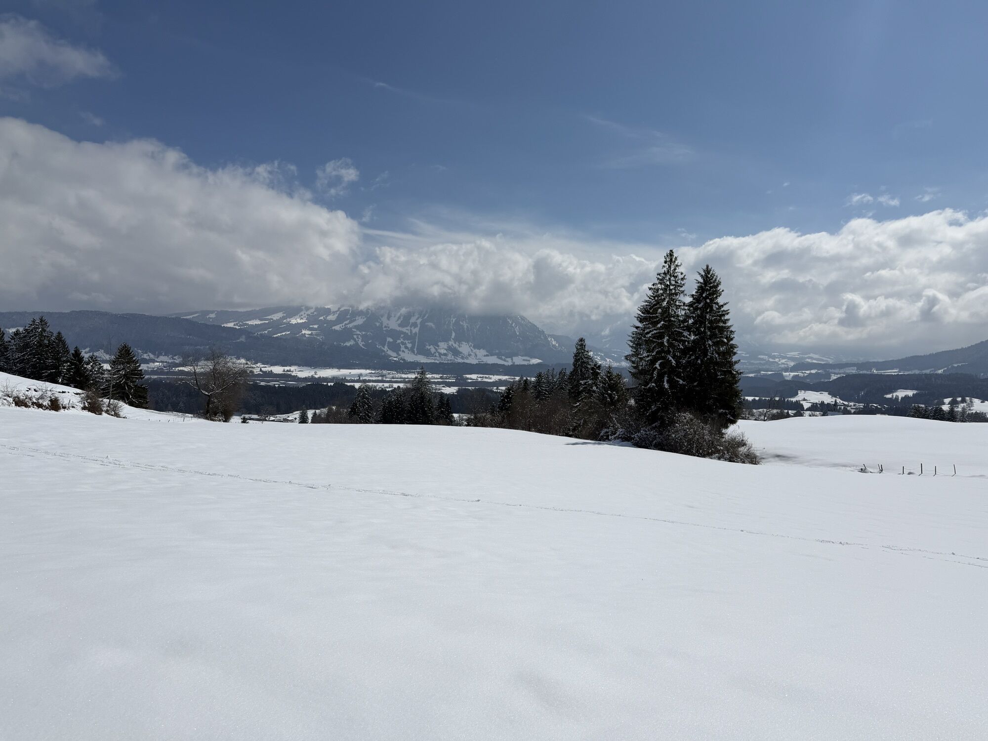
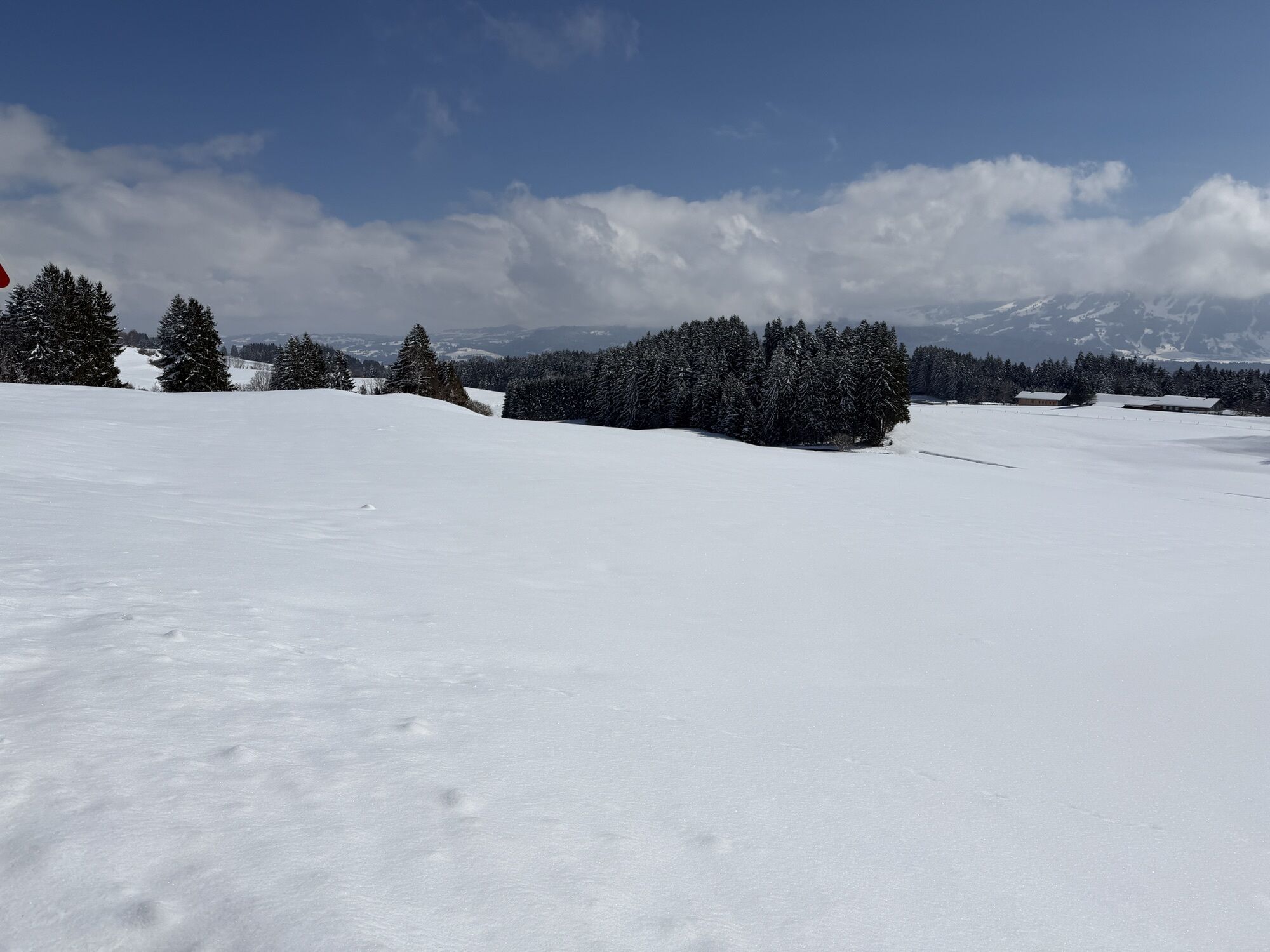
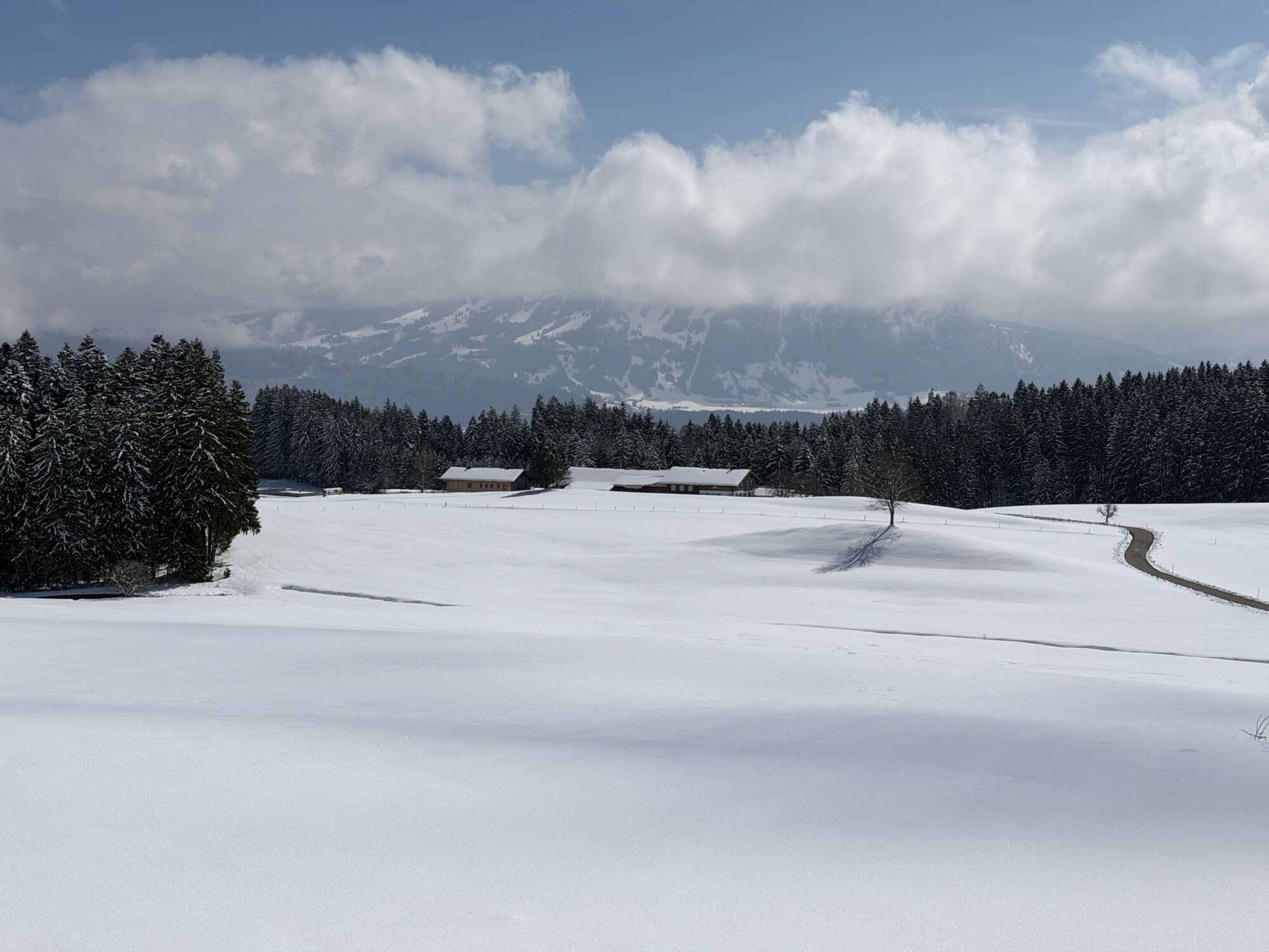
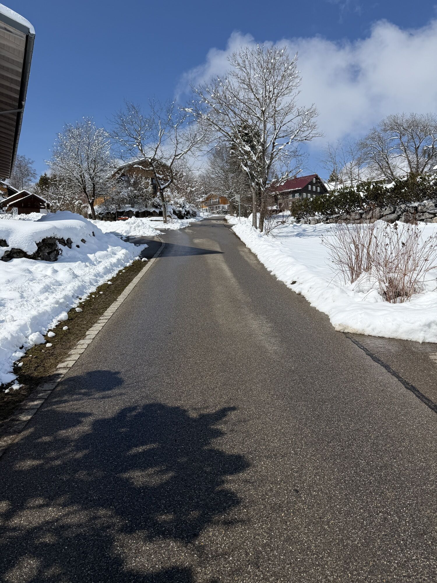
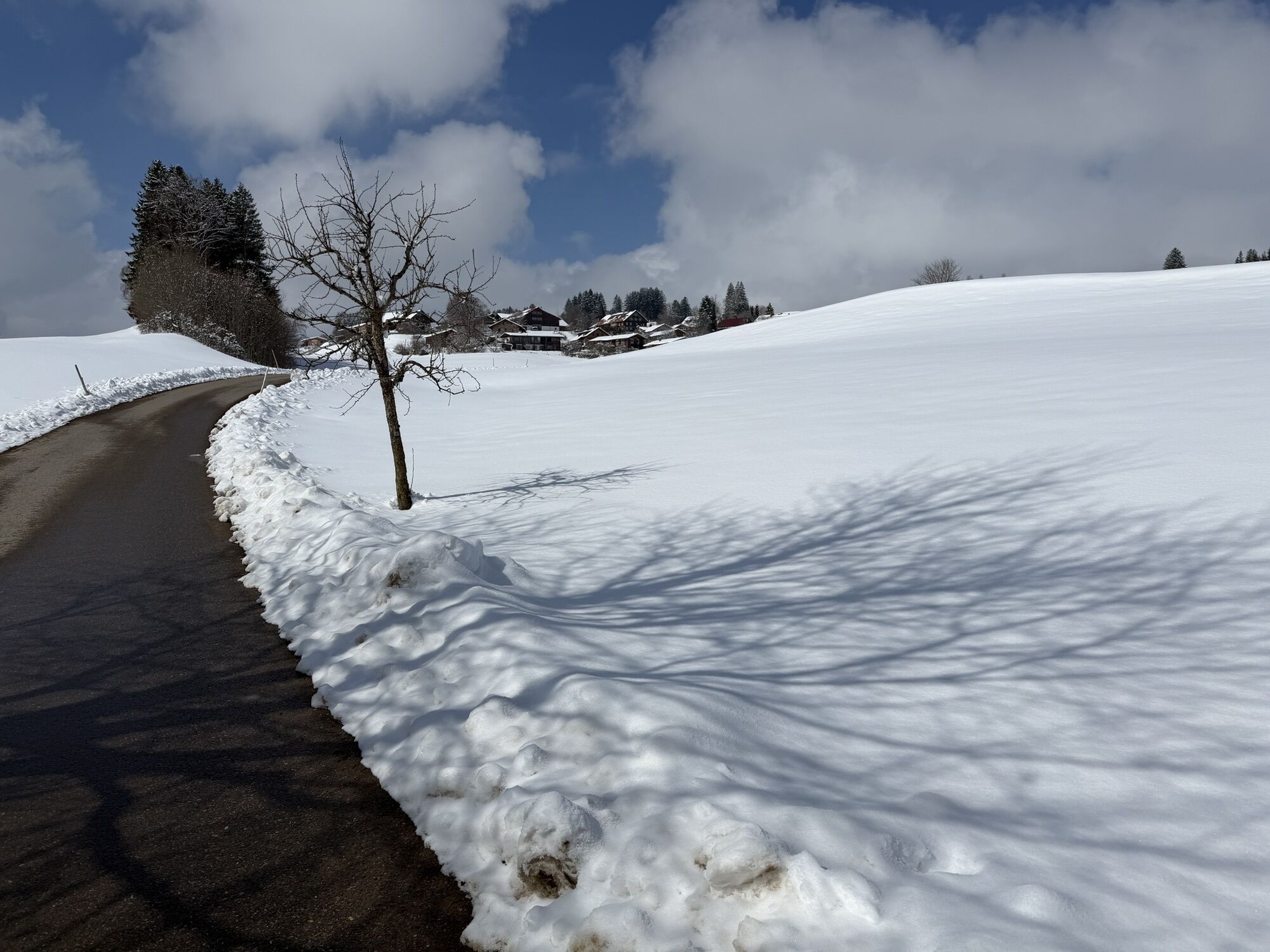
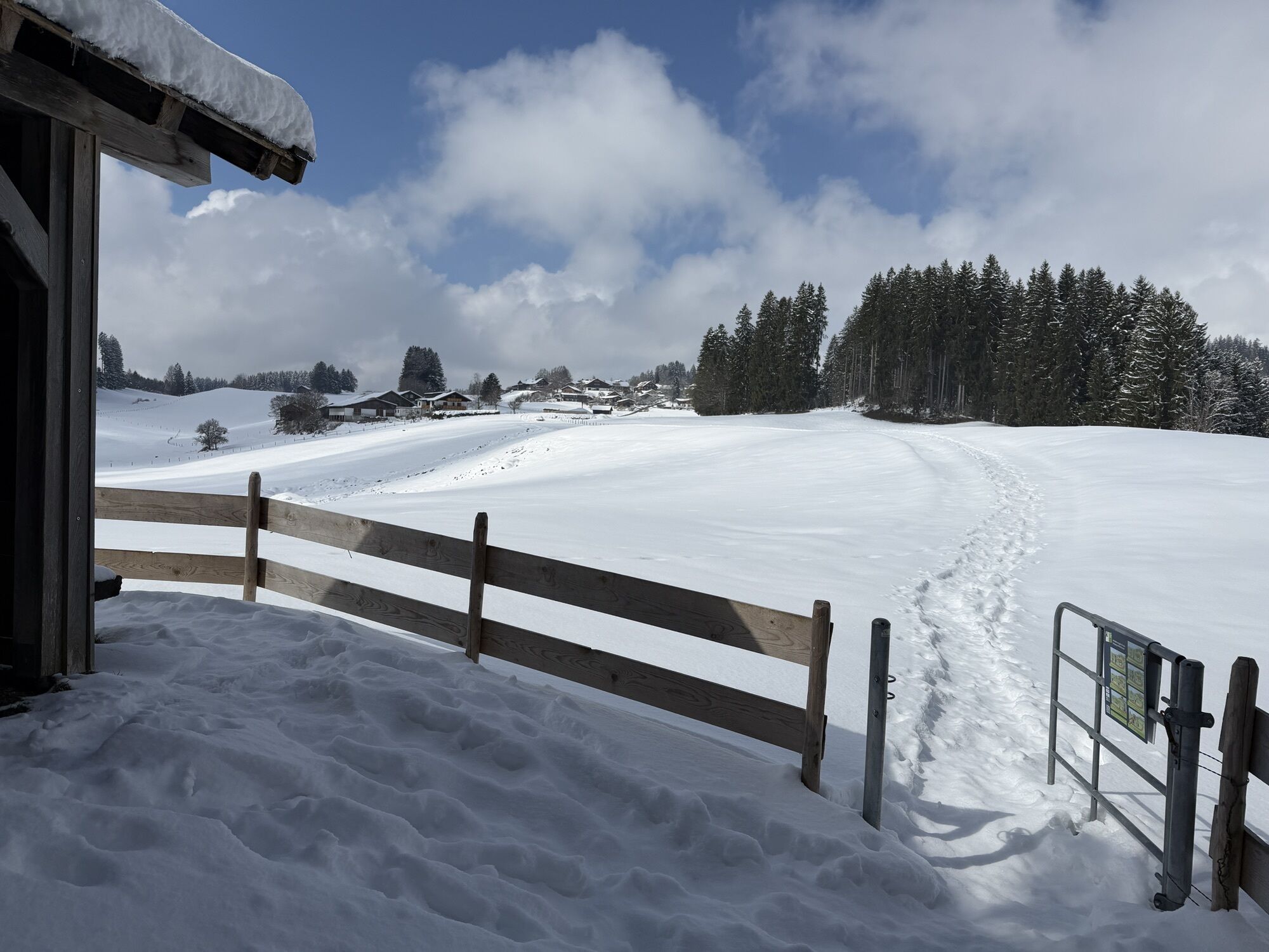
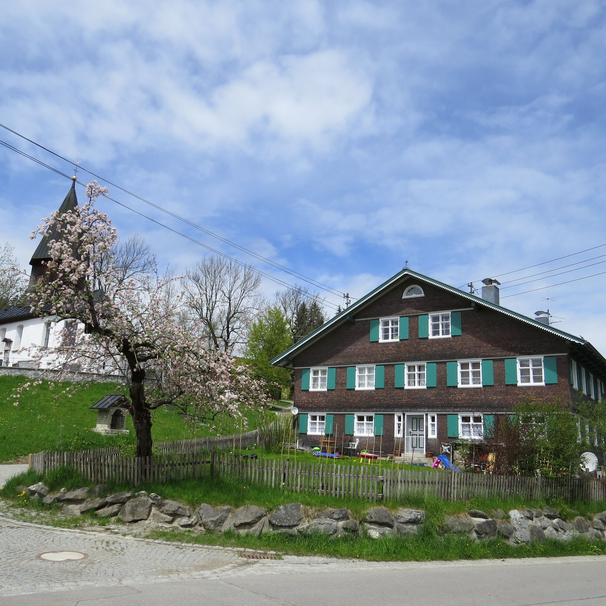
The tour starts at the hiking parking lot in Knottenried. From there, the trail leads through the village back to the Zengerle farm (house number 3). The route then runs downhill, initially through the...
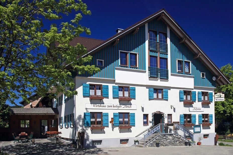
After a short time, you reach the village of Luitharz. Turn left at the main road and follow the road to the village of Akams. This section runs along the road, which is also used by a few vehicles. In Akams, you can stop for a bite to eat at the "Zum lustigen Hirsch" inn.
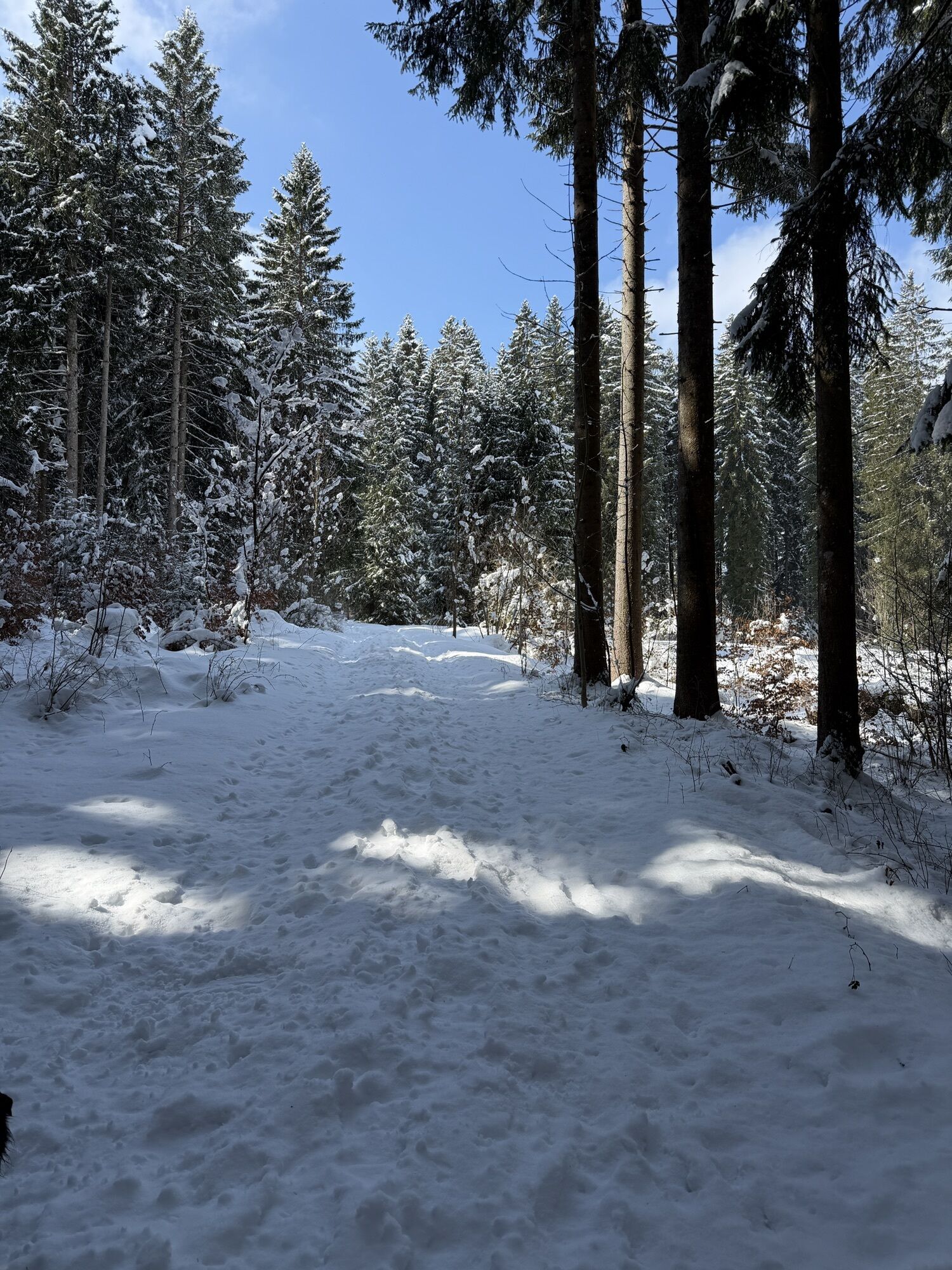
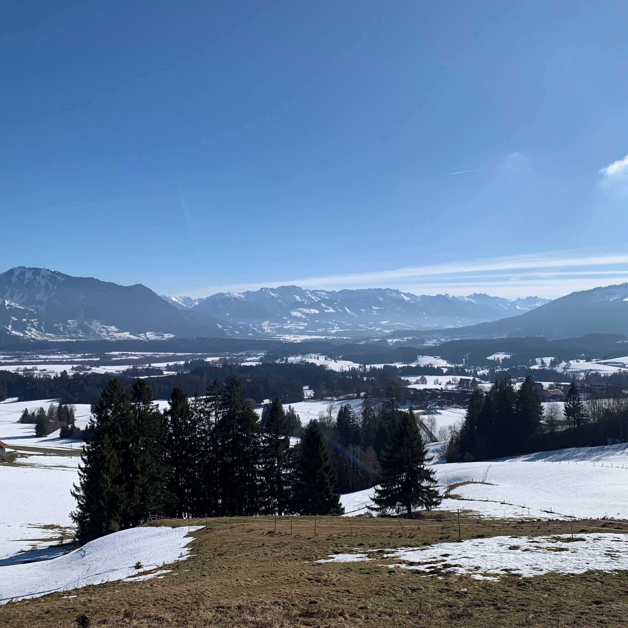
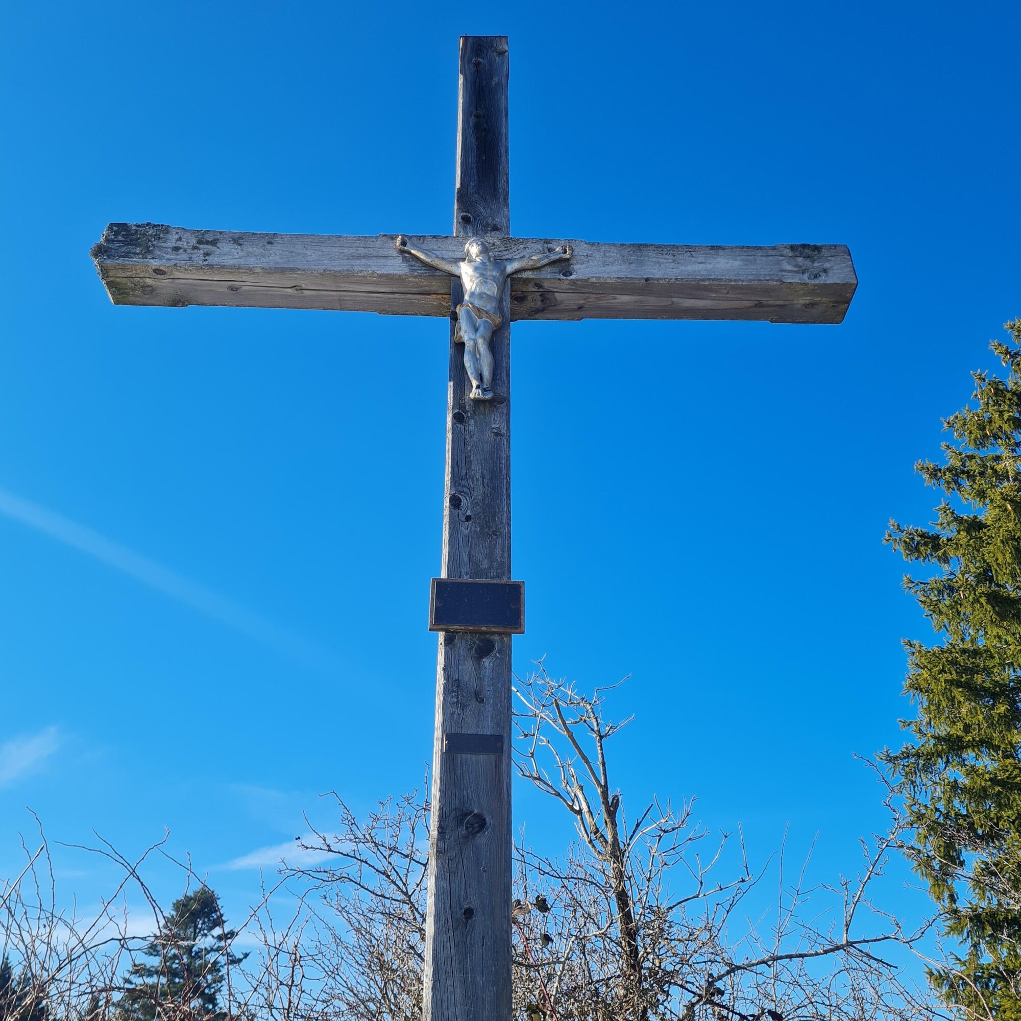
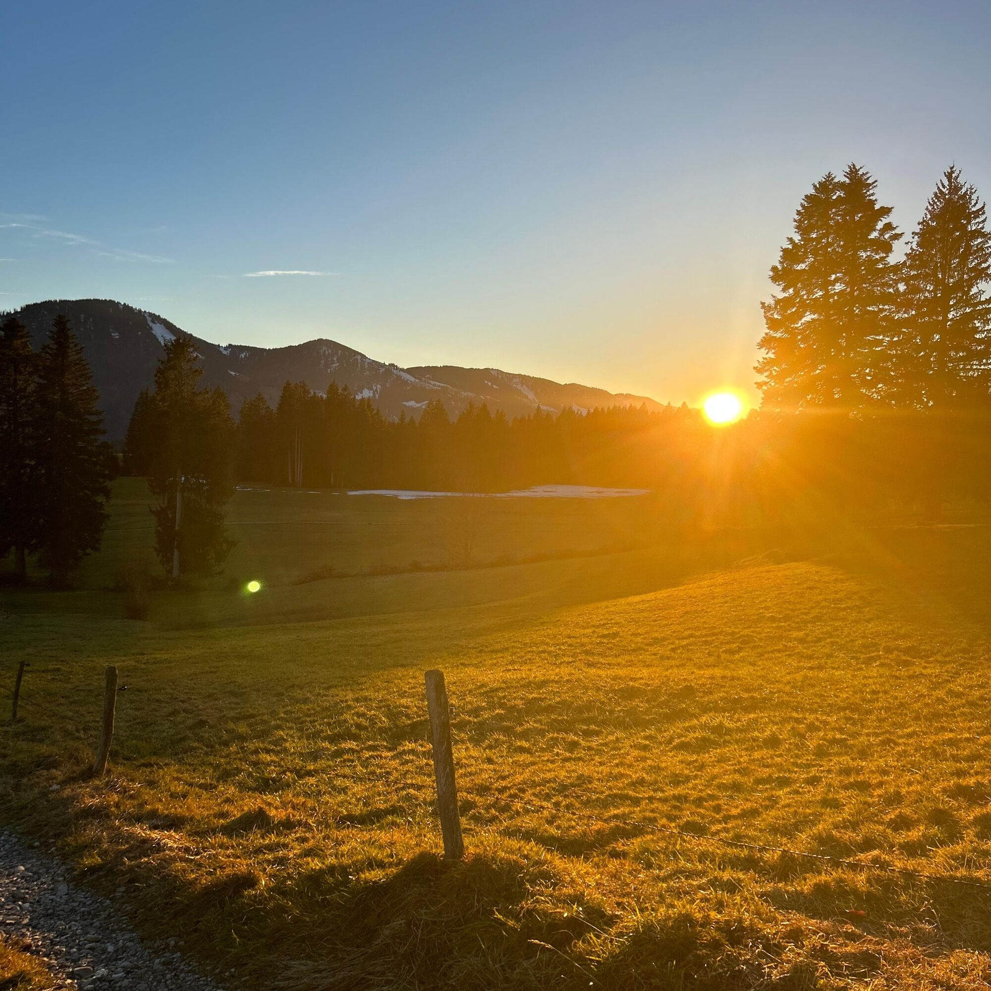
In Akams, follow the signs to Hochholder. The route leads past the fire station on the left and after a short while turns into a forest and meadow path. The path climbs steadily and runs through pastureland. Near the edge of the forest, a short branch-off path branches off to the right and leads to the summit of the Hochholder at 948 meters above sea level. There is a summit cross, benches and a summit book.
The way back leads through the forest back to Knottenried. Turn right at the main road until you reach the hiking parking lot again.


Ano
Alternatively, you can also reach it by car. Coming from Immenstadt, take the turn-off to Diepolz / Knottenried. Drive through Knottenried and turn left at the end of the village into the hiking parking lot.
Take the train to Immenstadt station. From there, take bus no. 82 directly to the bus stop "Knottenried, Ort".
Did you know?
All Immenstadt vacation guests receive the Mobil Pass Allgäu from their host. This means that this hike can be reached free of charge by public transport.
Parking is available at the hiking parking lot in Knottenried.
It is possible to shorten the tour by taking bus 51 from Akams in the direction of Immenstadt.
Webové kamery z prohlídky
Získejte přehled
Vždy živě na místě s více než 9 500 webkamerami. bergfex Jako uživatel Pro si nyní můžete zobrazit odpovídající webové kamery pro mnoho prohlídek v aplikaci prohlídky z. Můžete si tak přímo prohlédnout aktuální podmínky.
Oblíbené prohlídky v okolí
-
4.7
Steibis - Buchenegger Waterfalls
středníTuristika 6.47 km -
3.9
Klassikertour: Auf den Grünten
heavyTuristika 8.50 km -
4.4
Wanderung auf den grünten
středníTuristika 8.31 km -
4.3
Starzlachklamm
středníTuristika 5.30 km -
5.0
Nagelfluh ridge route Hochgrat - Mittag
heavyTuristika 14.0 km -
4.7
Rindalphorn und Hochgrat
středníTuristika 15.6 km -
4.9
Immenstädter Horn
světloTuristika 9.35 km -
5.0
Siedelalpe Runde von See - Immenstadt
světloTuristika 10.3 km -
3.7
Rundtour Mittag
světloTuristika 15.7 km -
4.5
Immenstädter Horn - Gschwender Horn
světloTuristika 10 km
Pěší turistika a stopování


Nenechte si ujít nabídky a inspiraci pro vaši příští dovolenou
Vaše e-mailová adresa byl přidán do poštovního seznamu.





