







Inzeller Kienberg-Streicher
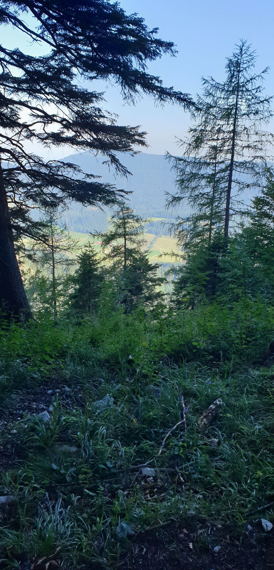
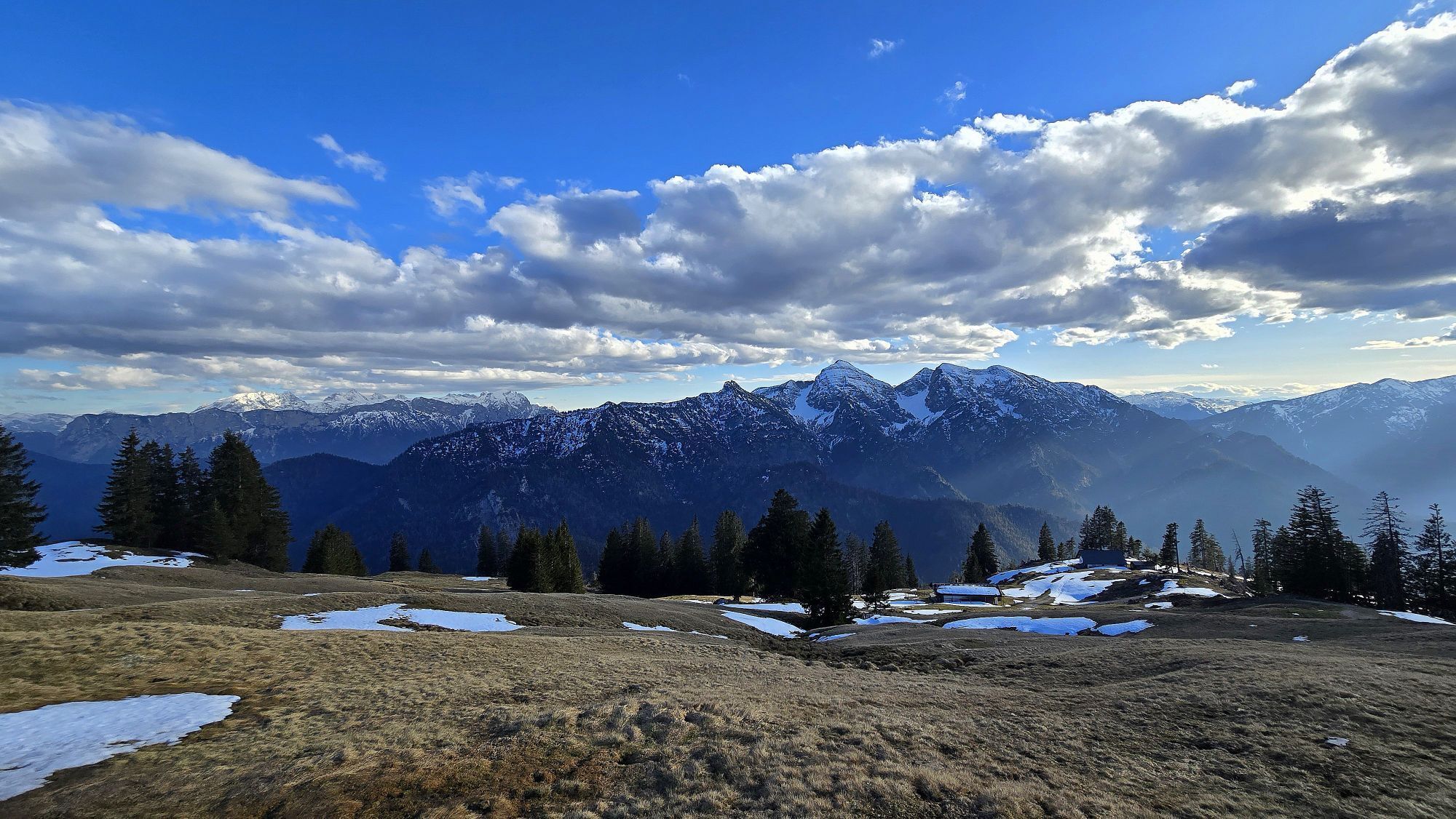
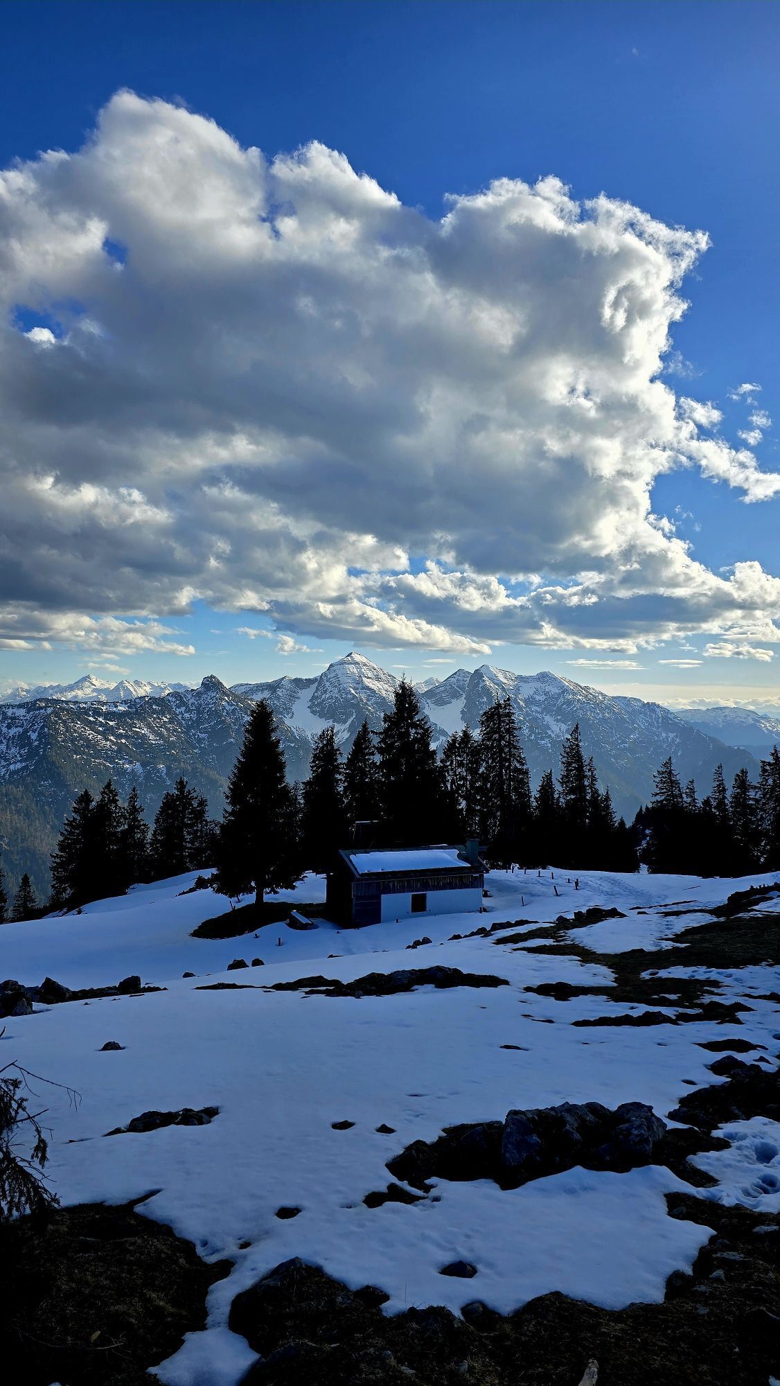
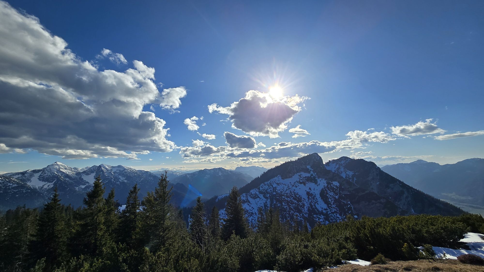
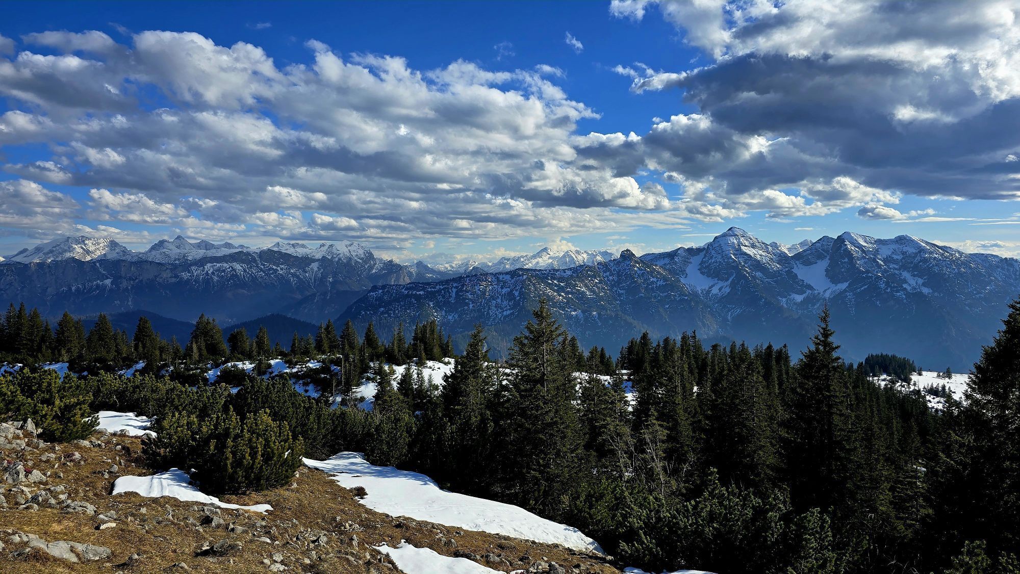
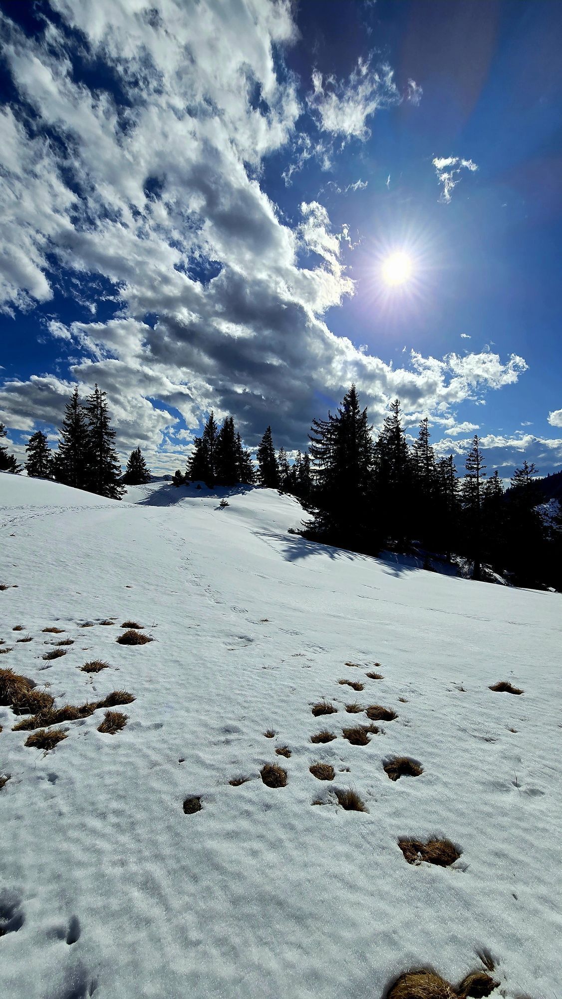
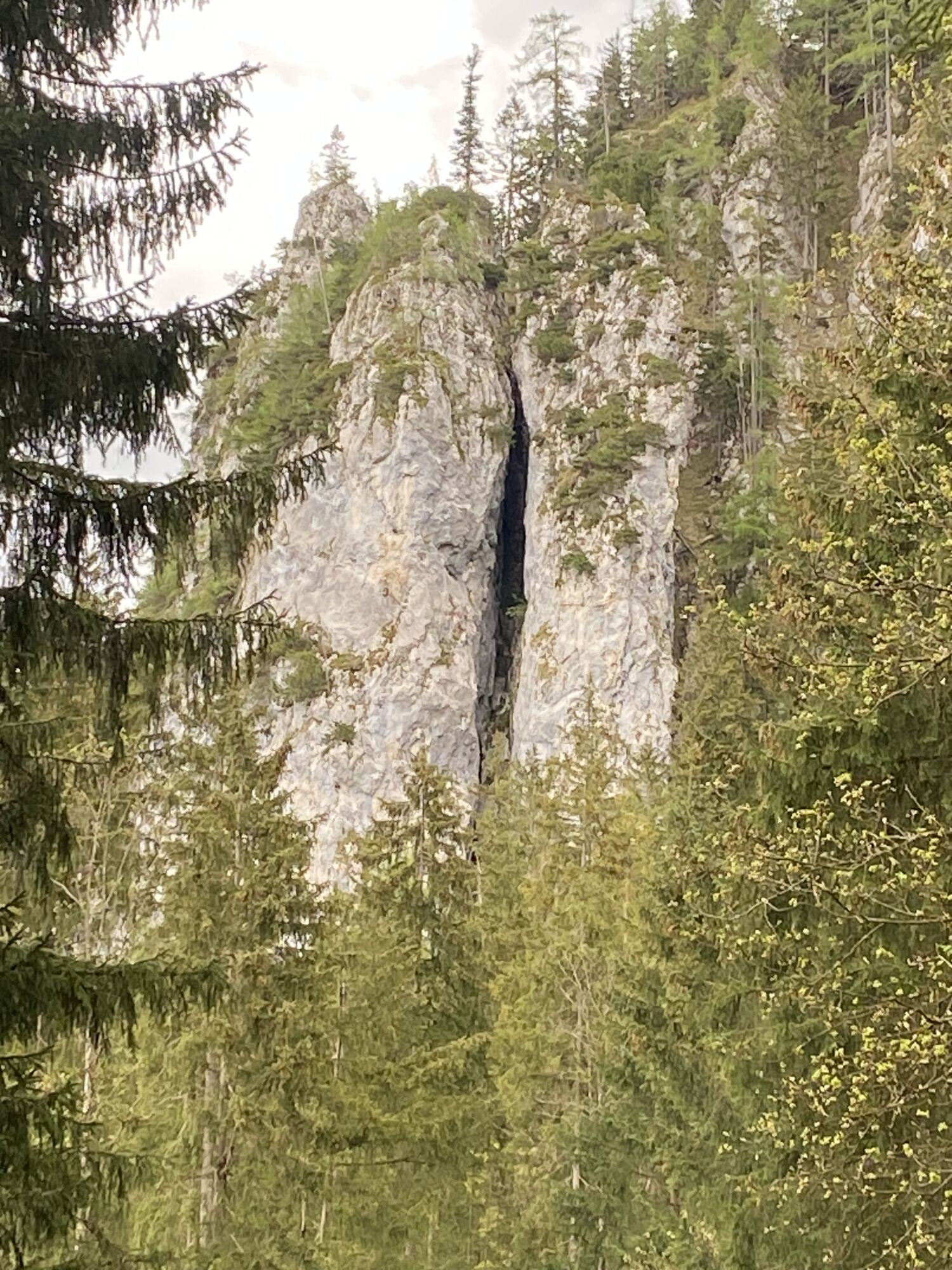

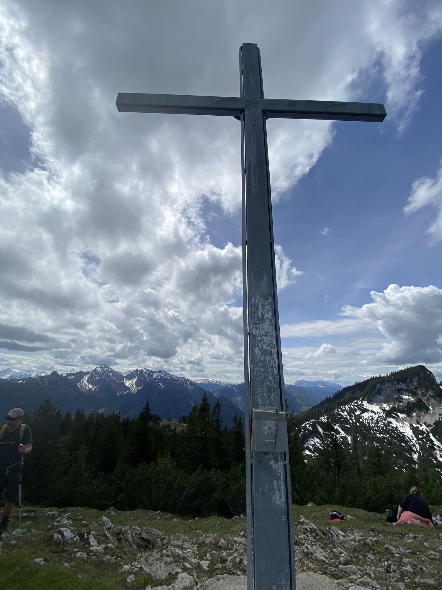
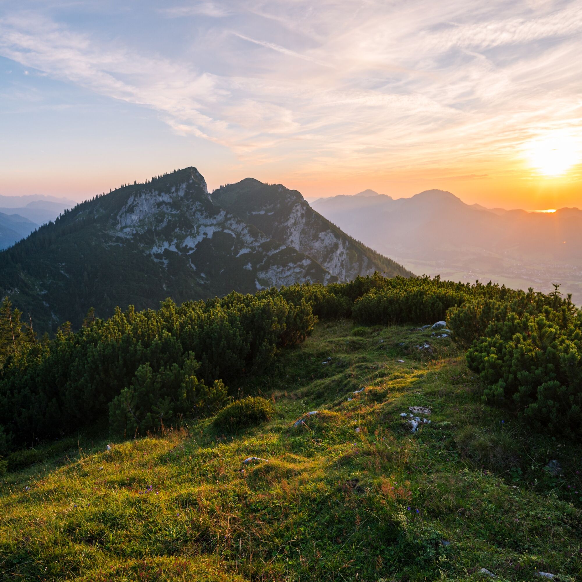
A mountain tour to the Streicher is also a tour into Inzell's past. Because lead and zinc were mined here in the past. The Streicher is a peak on the Großen Kienberg, which in turn is part of the Rauschberg...
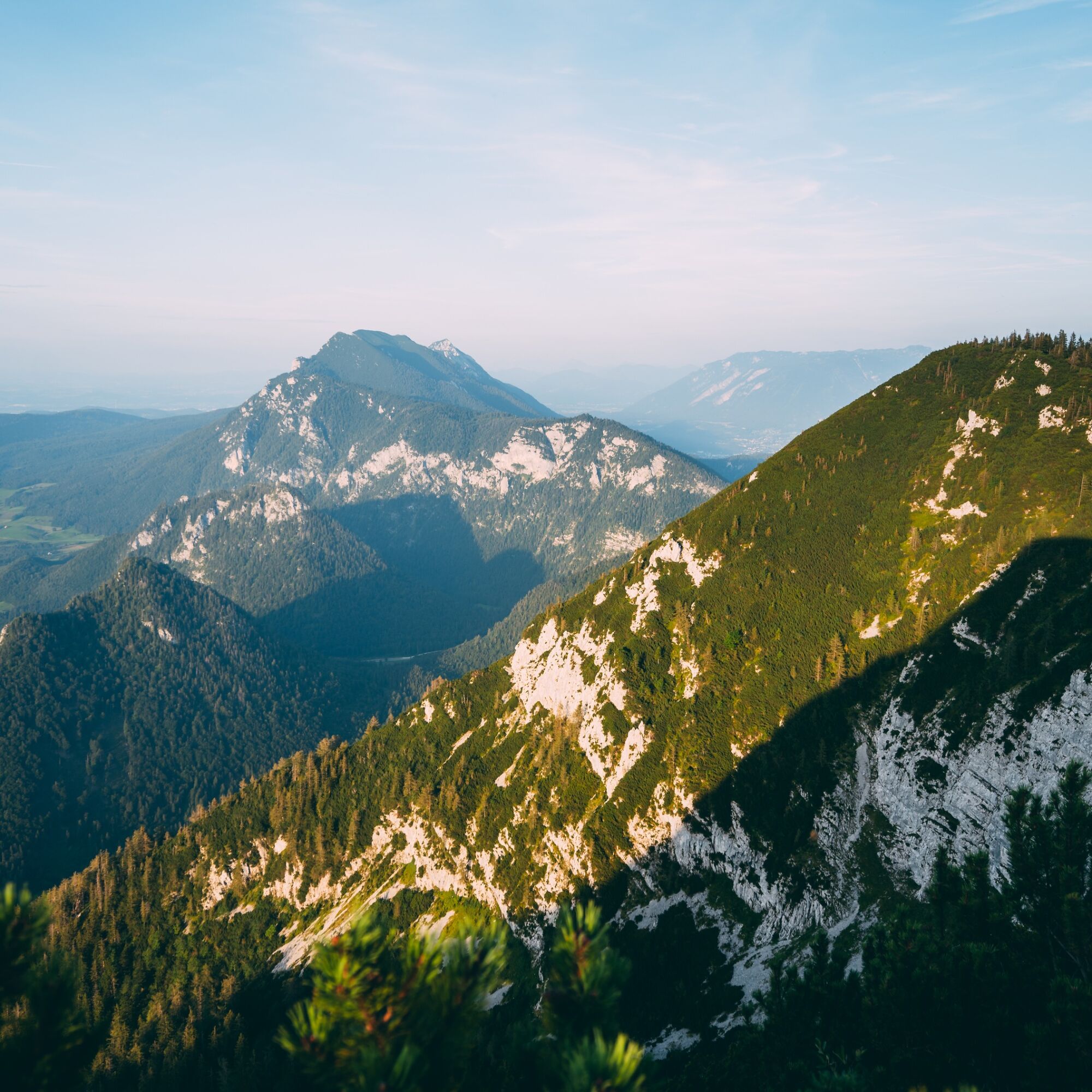
A mountain tour to the Streicher is also a tour into Inzell's past. Because lead and zinc were mined here in the past. The Streicher is a peak on the Großen Kienberg, which in turn is part of the Rauschberg massif. Mining started here as early as 1636. A mine with around 74 tunnels was created. And you set off towards the ridge of the mine on the way to the Streicher!
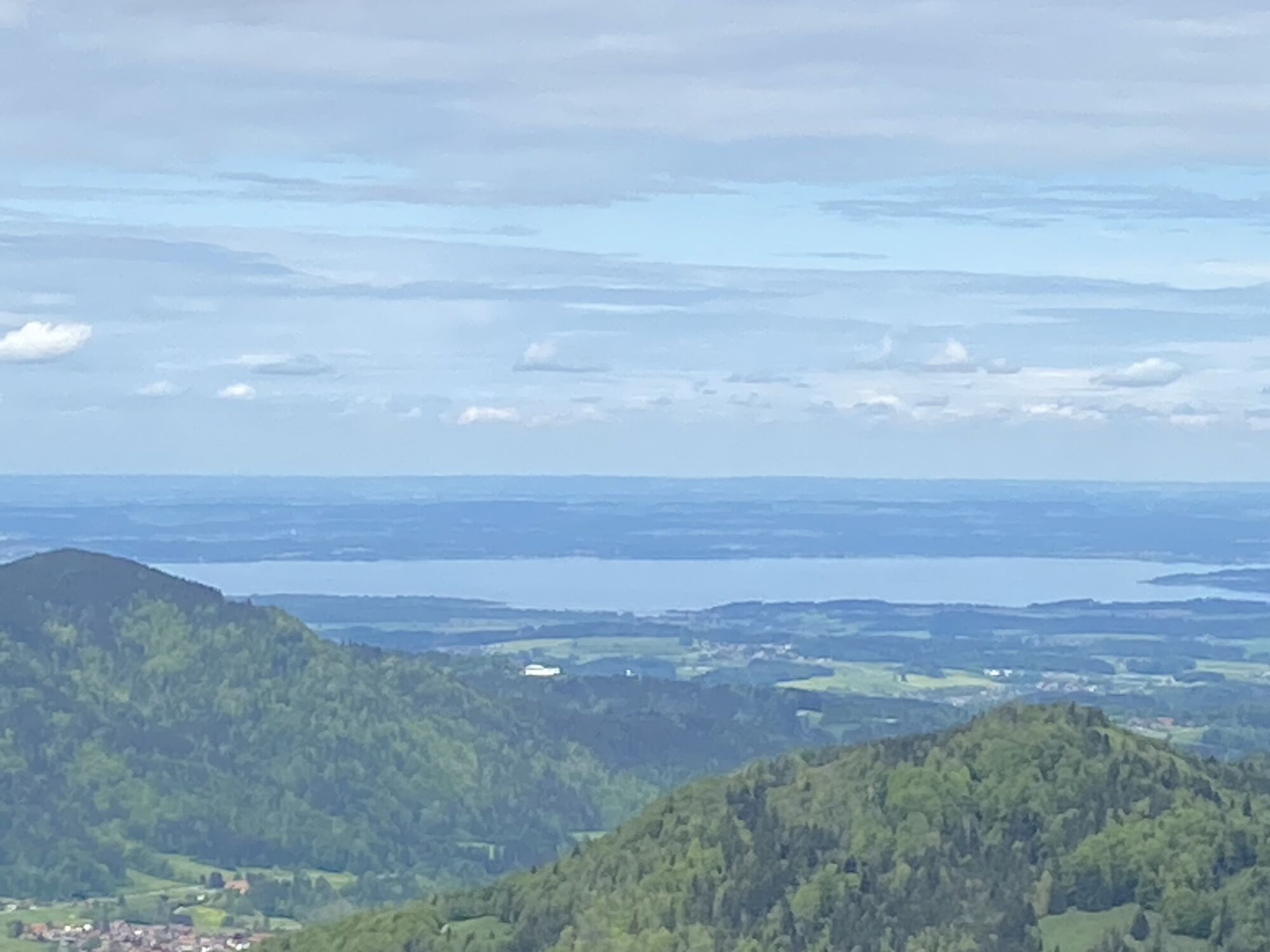
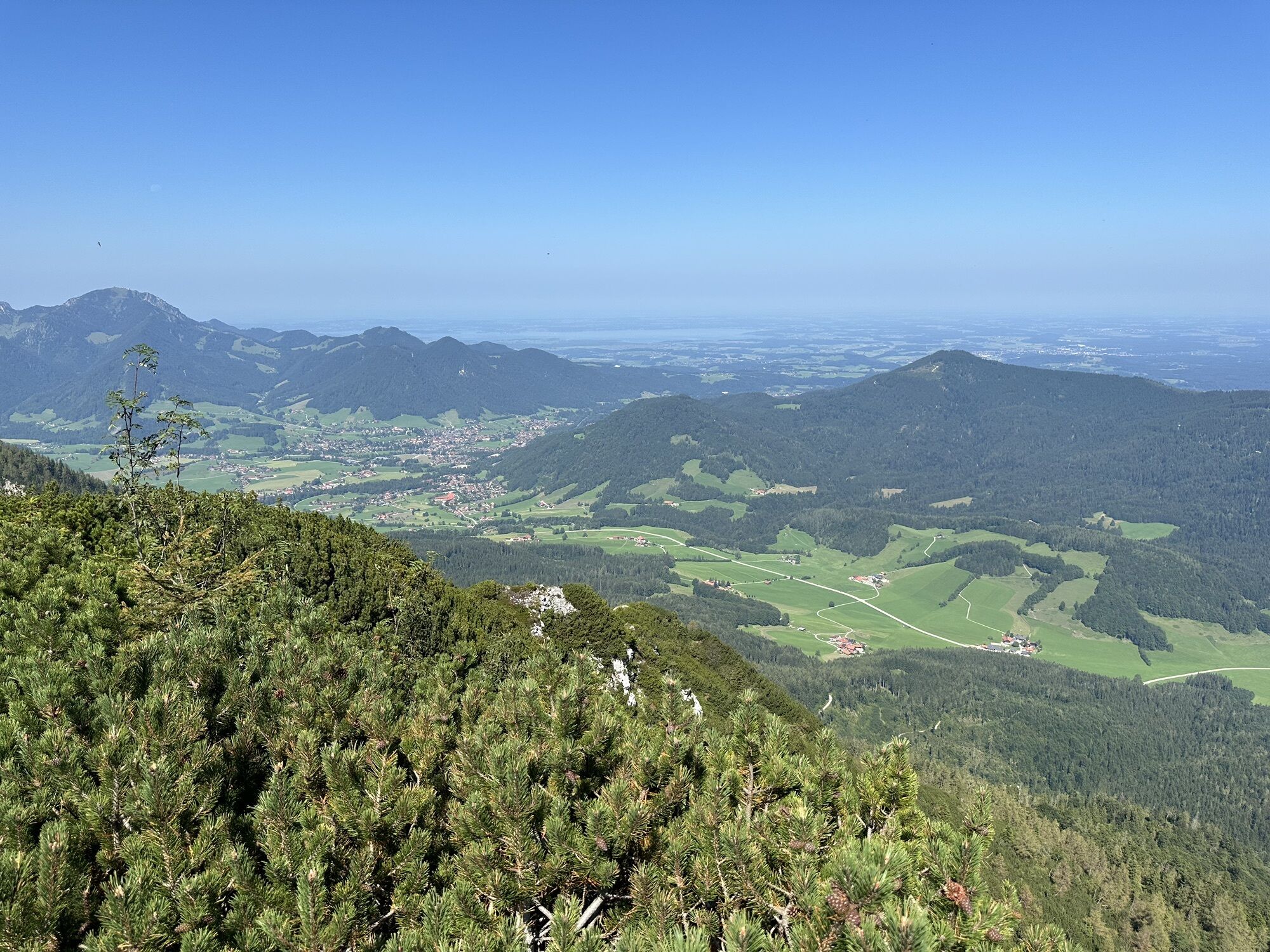
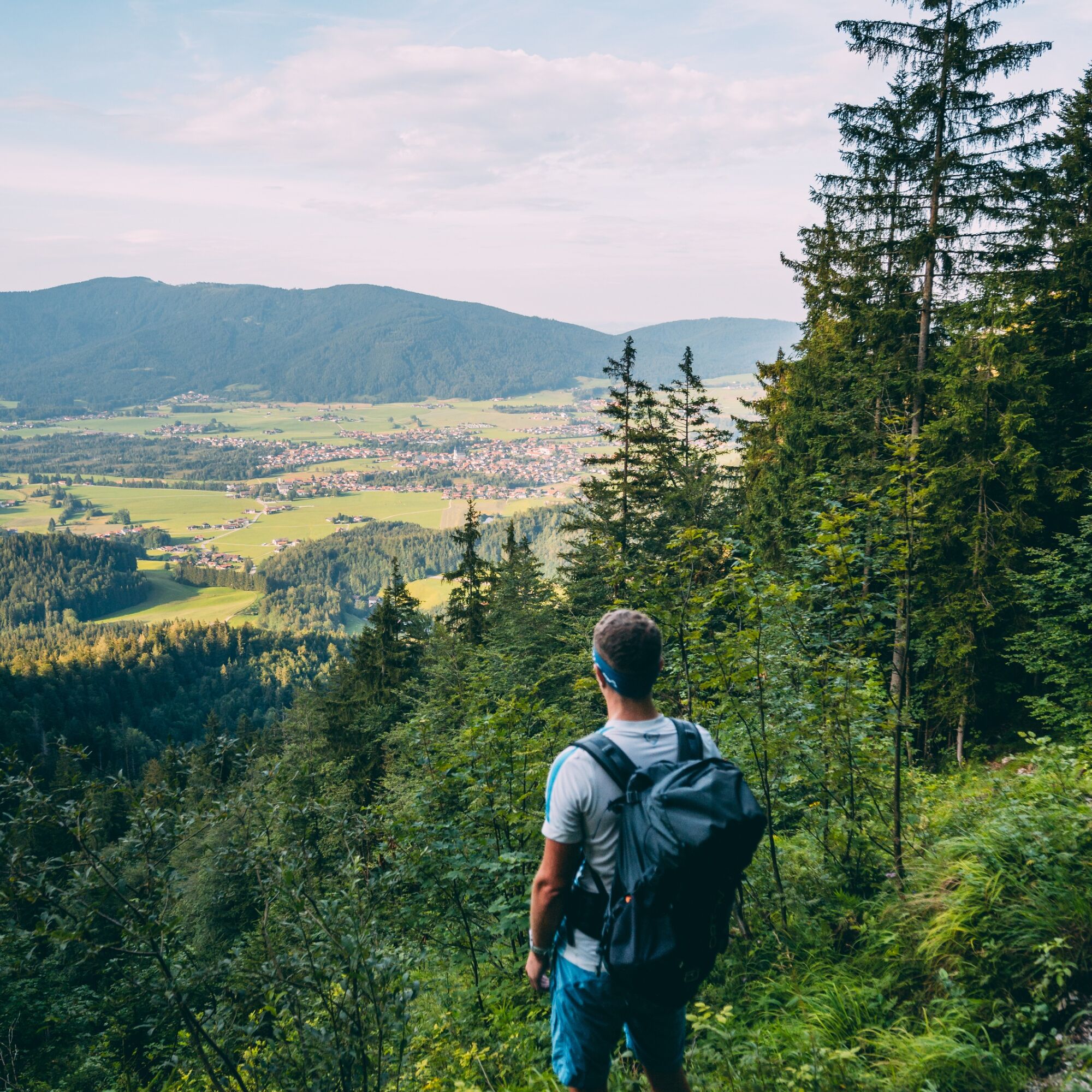
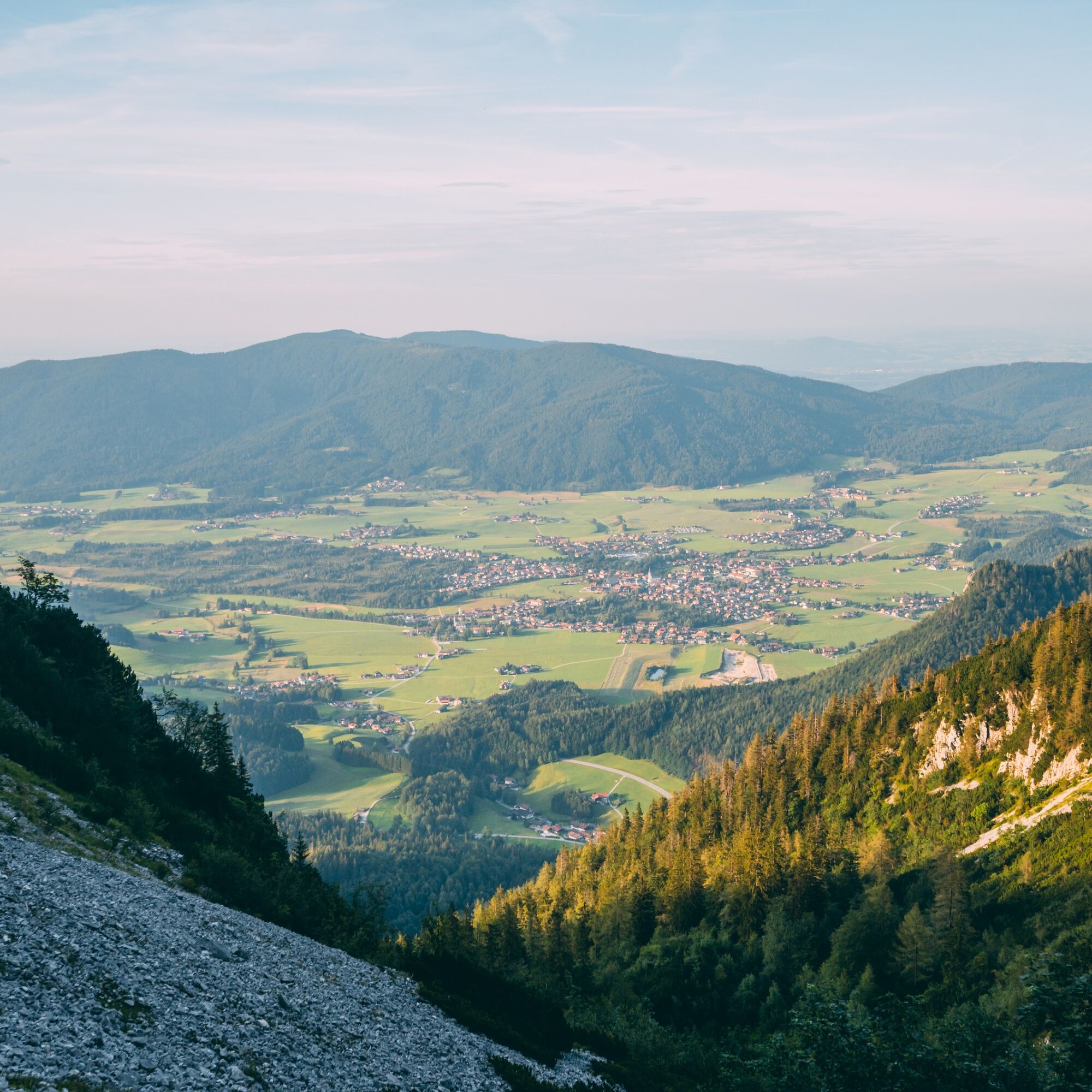
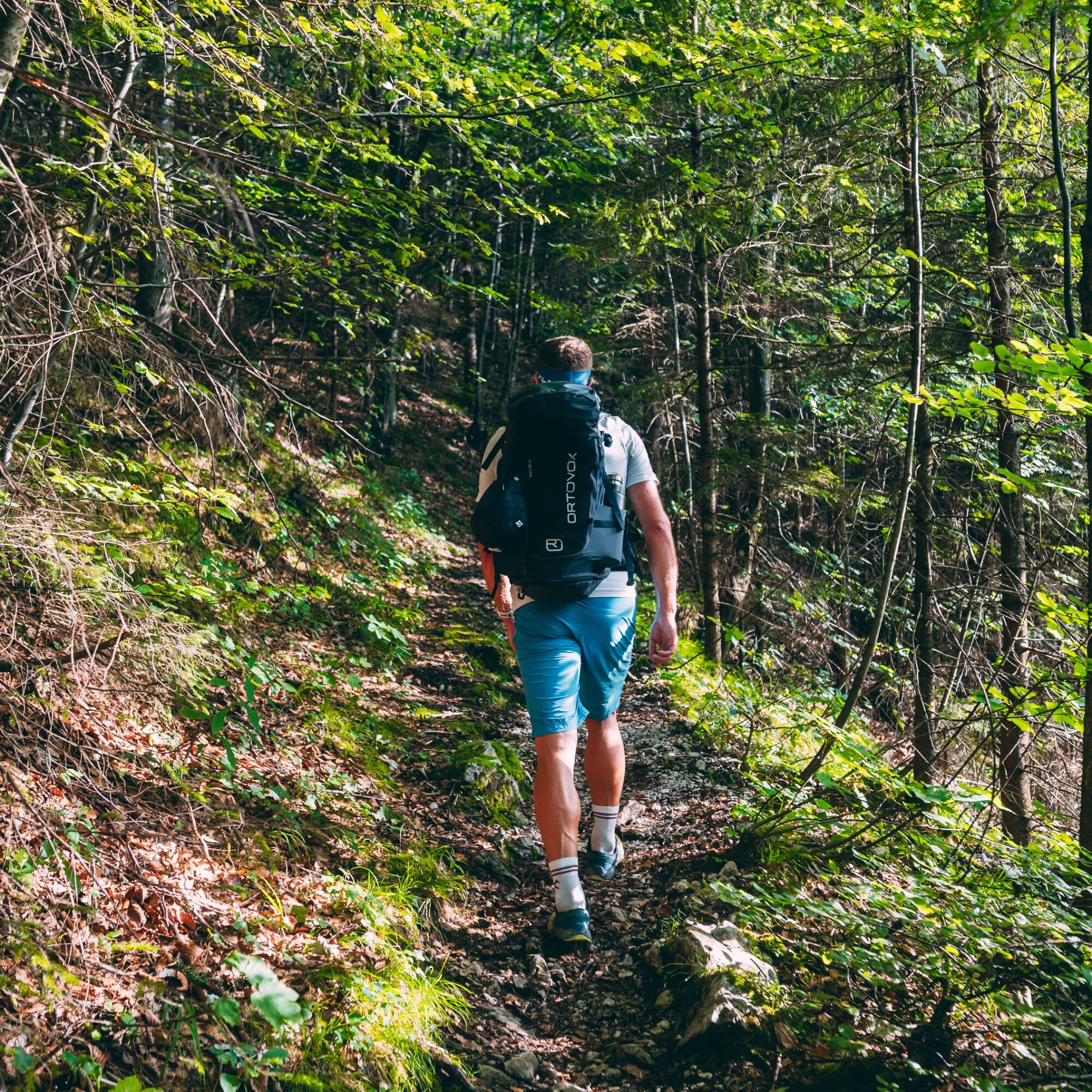
The start is in the district of Schmelz. The name said it all: lead and zinc mined here were smelted in Schmelz. The Schmelz inn was the former administrative building. From there, the path leads up to federal road 305 which must be crossed. Here begins hiking trail no. 18 and it slowly climbs to the Fahrriesbodenkapelle. The chapel served the miners to pray for the blessing of the mine. After the Fahrriesboden, the path leads steeply upwards to the right. From here on the path is very steep, initially winding in serpentine curves over grassy slopes through the Aschgrün and later through a rocky gully. During the ascent, you can repeatedly enjoy beautiful wide views into the Inzell and Ruhpolding valley basins. With some luck, the Chiemsee lake is also clearly visible.
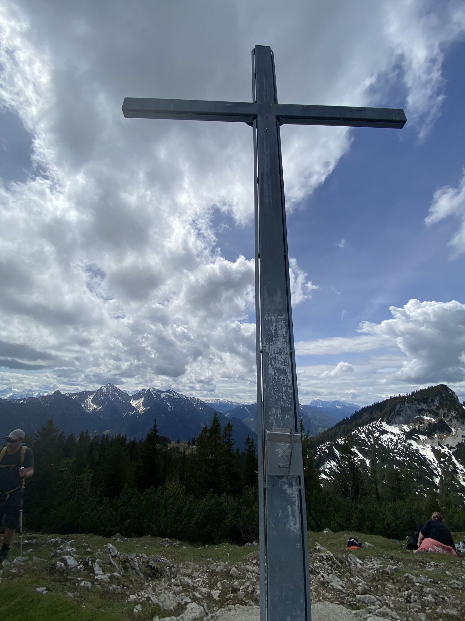
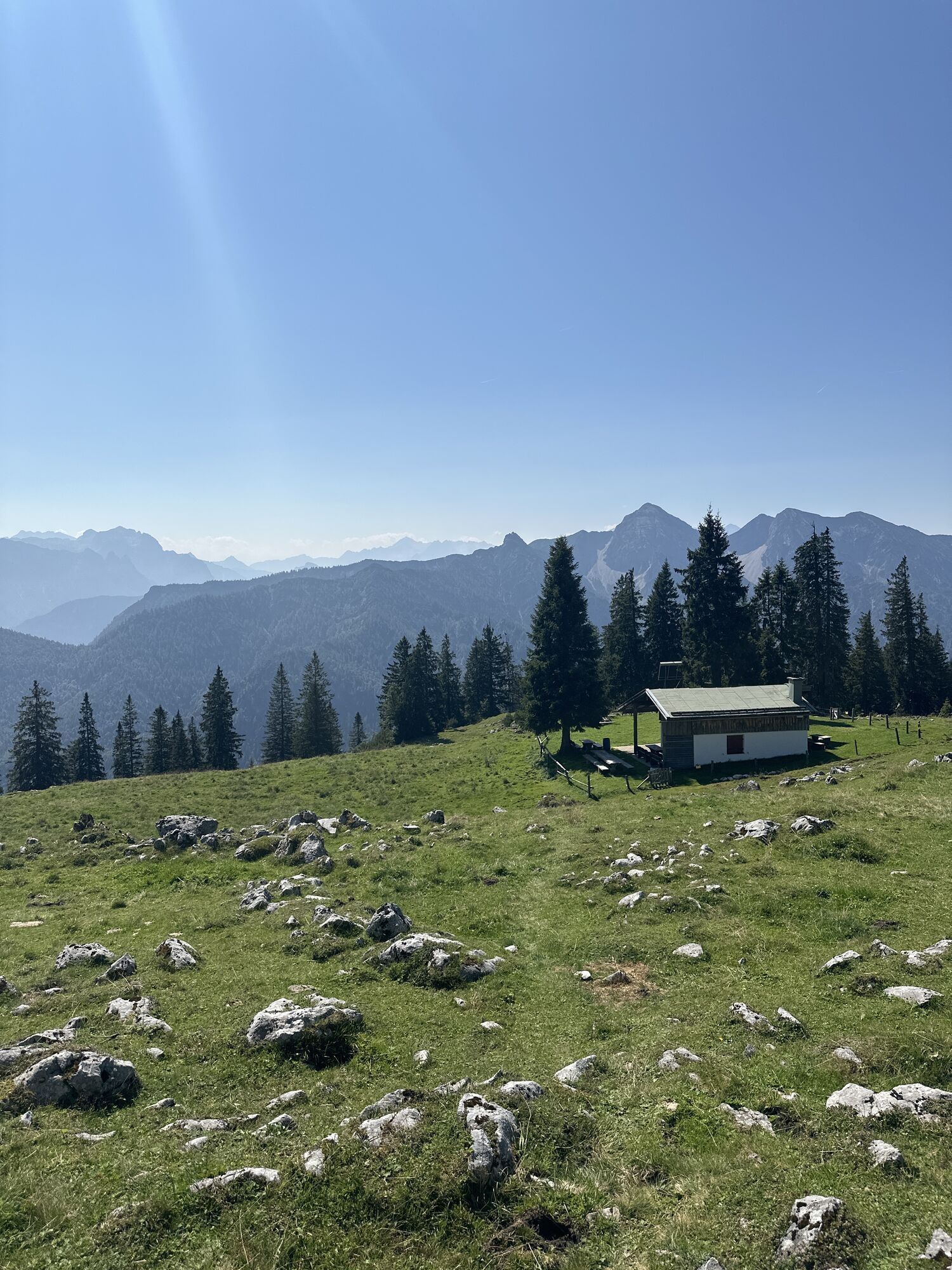
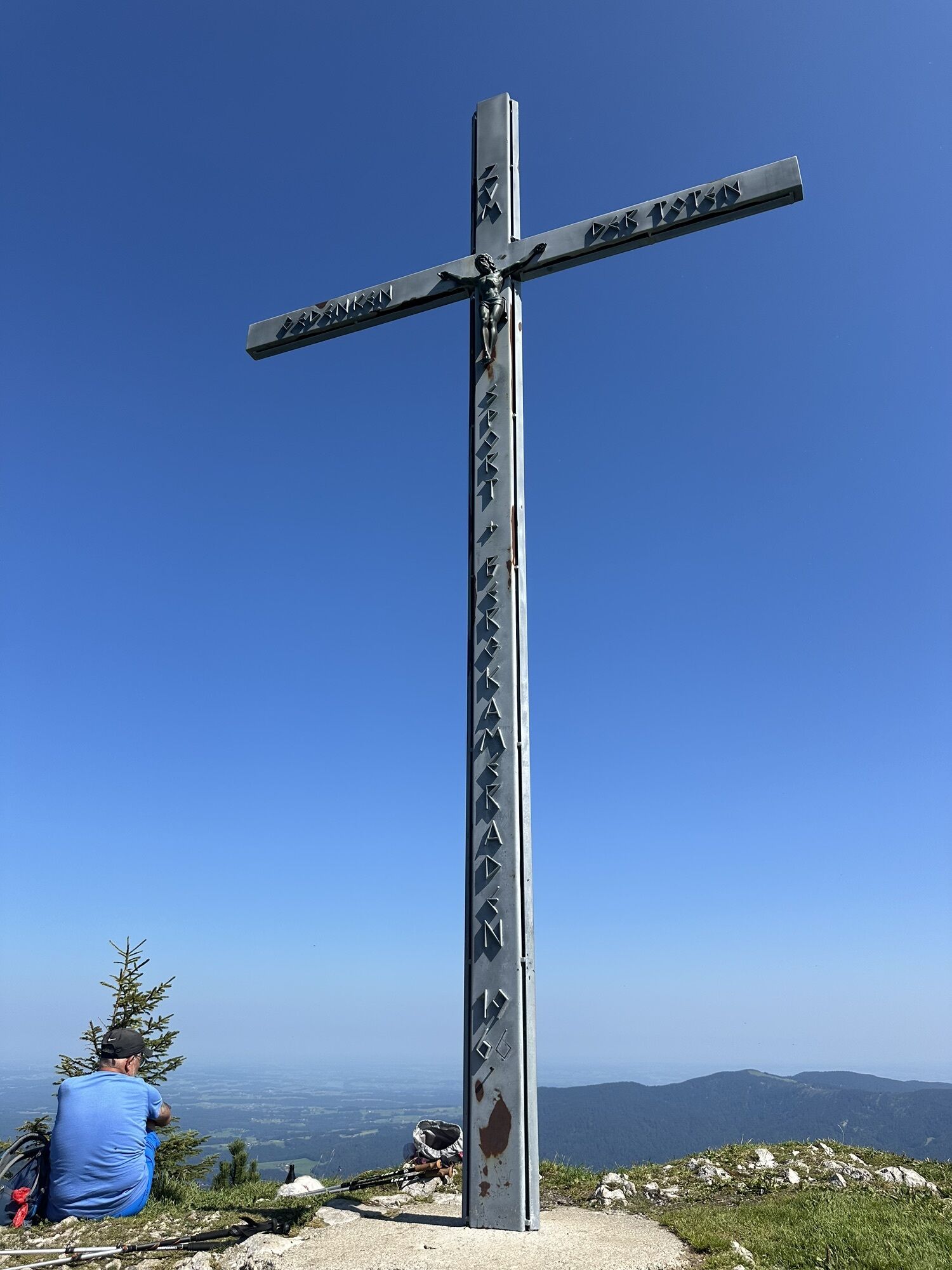
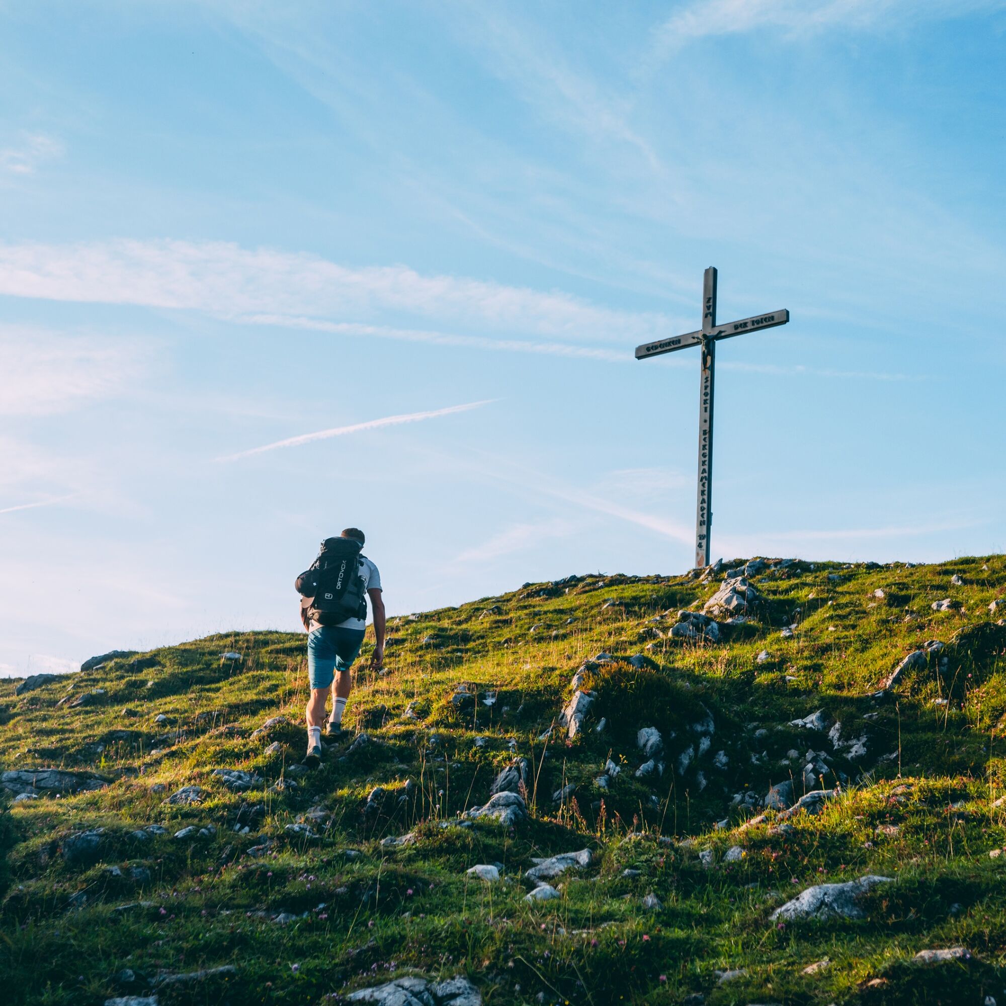
Many secluded spots invite you to pause during the tour and let nature affect you. The broad plateau at the summit also tempts you to a generous and well-deserved snack.
The descent follows the Inzell ski hut, past the Kienbergalm and along the forest road towards Schmelz. A visit to the Schmelz inn is obligatory, where those interested can learn exciting facts about the history of the district of Schmelz.
In brief:
Schmelz parking lot - hiking trail no. 18 - Fahrriesbodenkapelle - summit - Inzell ski hut - Kienbergalm - Schmelz parking lot.
Current information about the Inzell hiking trails can be found in the current vacation info.

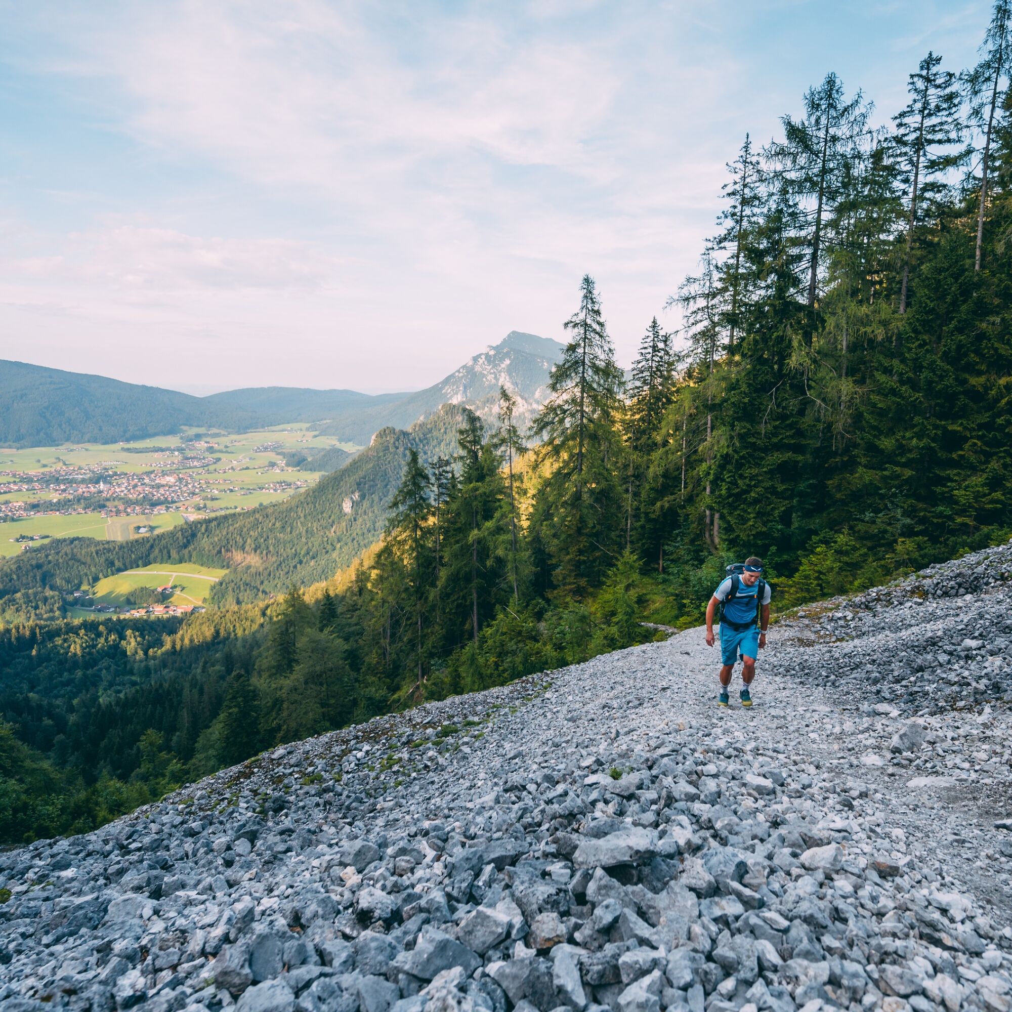
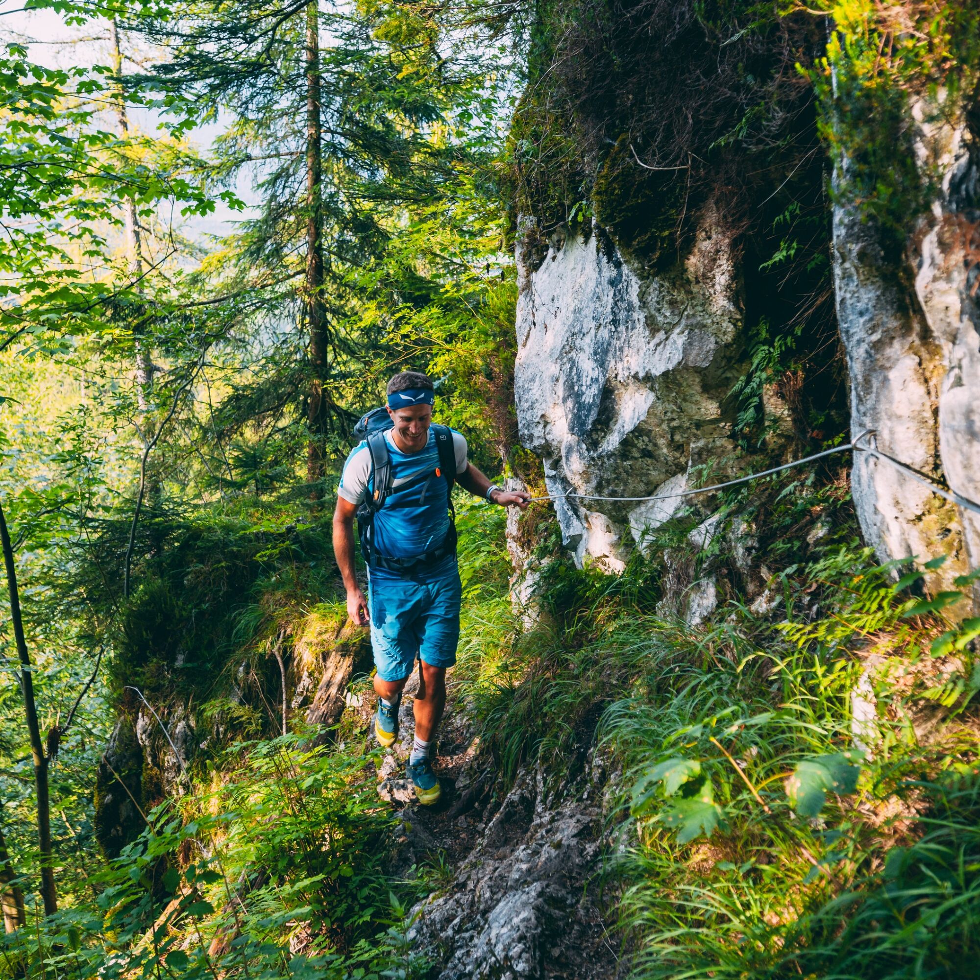
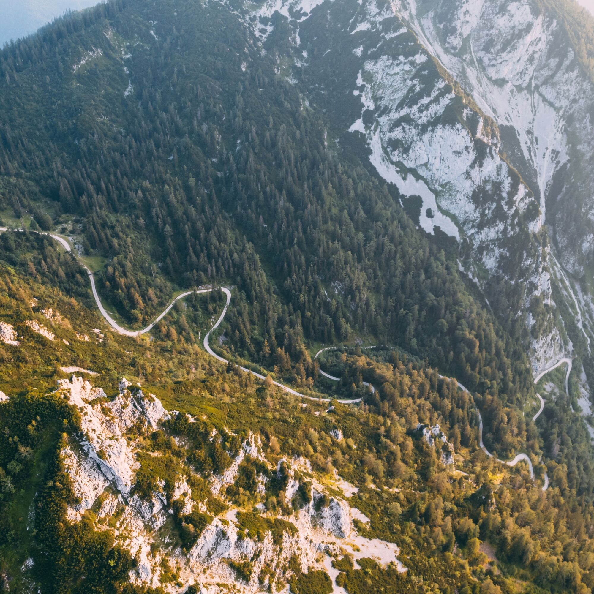
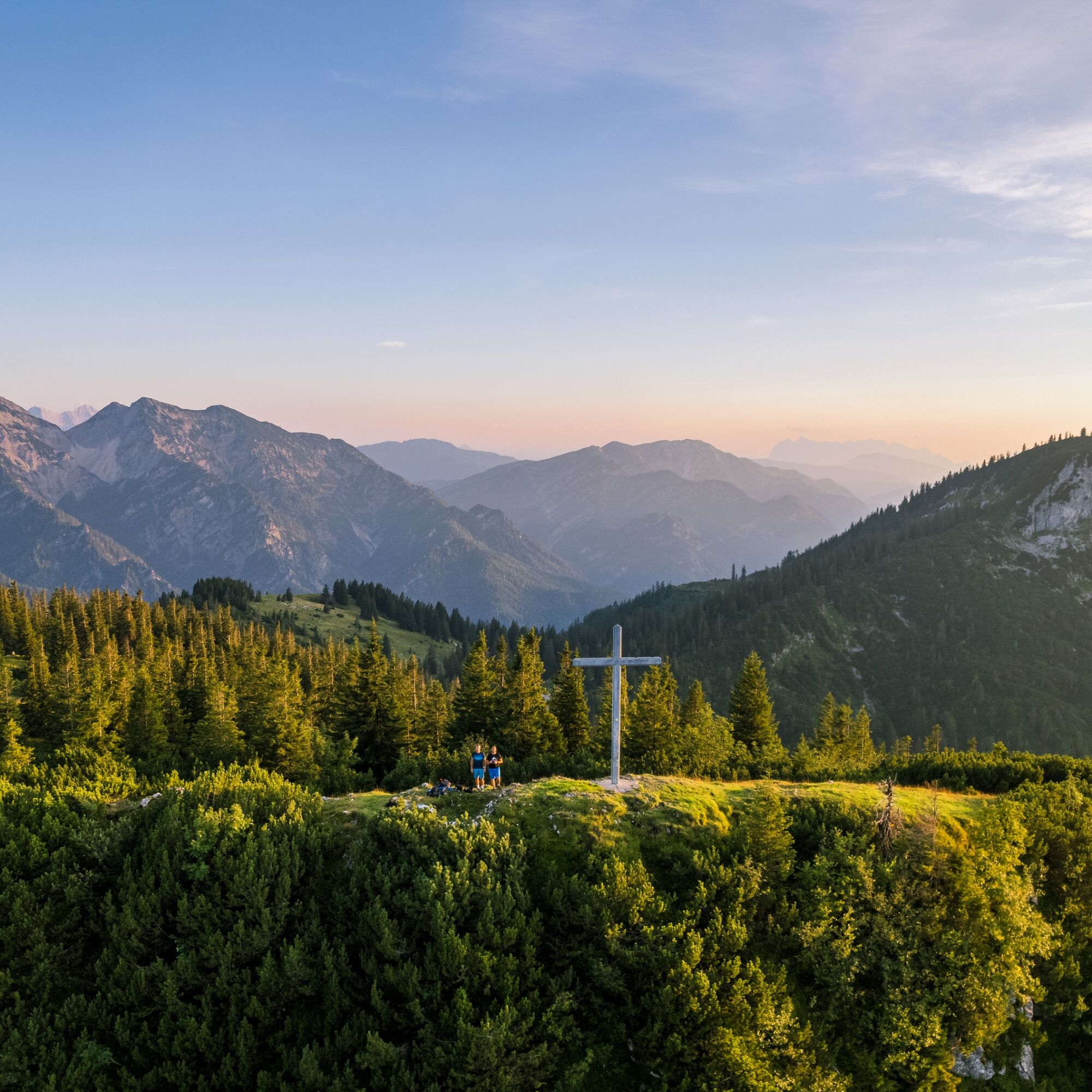

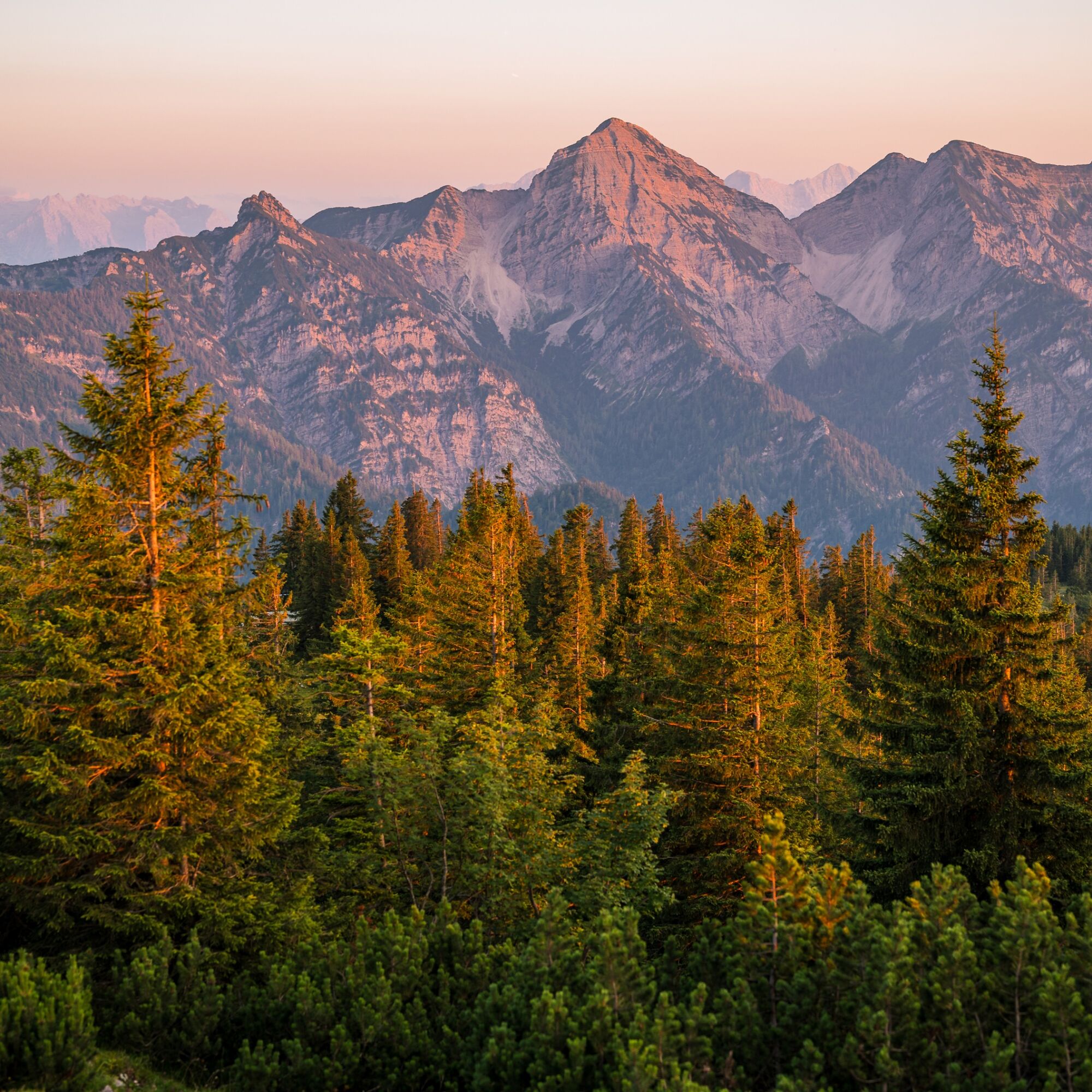

From Inzell via the B305 to the Schmelz hiking car park, which is located very close to the Schmelz inn.
Inzell
Before you start the descent, endure the ascent to Rauschberg and admire the Angerer the Younger's art mile.
Získejte přehled
Vždy živě na místě s více než 9 500 webkamerami. bergfex Jako uživatel Pro si nyní můžete zobrazit odpovídající webové kamery pro mnoho prohlídek v aplikaci prohlídky z. Můžete si tak přímo prohlédnout aktuální podmínky.

Oblíbené prohlídky v okolí
-
4.4
Staufen-Bergtour
středníTuristika 14.1 km -
4.5
Alpgarten-Rundweg
Turistika 2.93 km -
4.8
Over the waterfall trail into the Almenwelt Lofer
středníTuristika 3.29 km -
4.9
Dötzenkopf Rundweg
středníTuristika 6.95 km -
4.8
Atemberaubende Aussicht auf dem Dürrnbachhorn
středníTuristika 8.44 km -
4.9
Frillensee round from Adlgaß
Turistika 5.82 km -
4.6
Hochgern
středníHorská turistika 15.1 km -
4.7
Pidinger Klettersteig mit Umweg im Abstieg
heavyVia ferrata 15.0 km -
4.7
Jochberg - Zwiesel
světloTuristika 4.12 km -
4.4
Unternberg
světloTuristika 9.20 km
Pěší turistika a stopování


Nenechte si ujít nabídky a inspiraci pro vaši příští dovolenou
Vaše e-mailová adresa byl přidán do poštovního seznamu.





