


Gamsknogel
Fotografie našich uživatelů
-

 © Günther ForsthuberVytvořeno dne 15.06.2025
 -
 © Günther ForsthuberVytvořeno dne 15.06.2025
 -
 © Thomas RalserVytvořeno dne 10.05.2025
 -
 © Thomas RalserVytvořeno dne 10.05.2025
 -
 © se_muckVytvořeno dne 02.03.2025
 -
 © se_muckVytvořeno dne 02.03.2025
 -
 © se_muckVytvořeno dne 02.03.2025
 -
 © se_muckVytvořeno dne 02.03.2025
 -
 © se_muckVytvořeno dne 02.03.2025
 -
 © se_muckVytvořeno dne 02.03.2025
 -
 © se_muckVytvořeno dne 02.03.2025
 -
 © Thomas RalserVytvořeno dne 17.08.2024


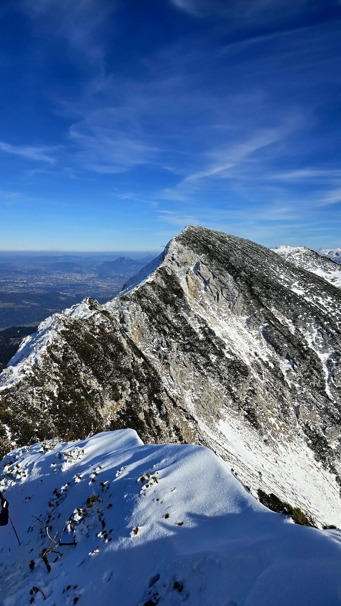


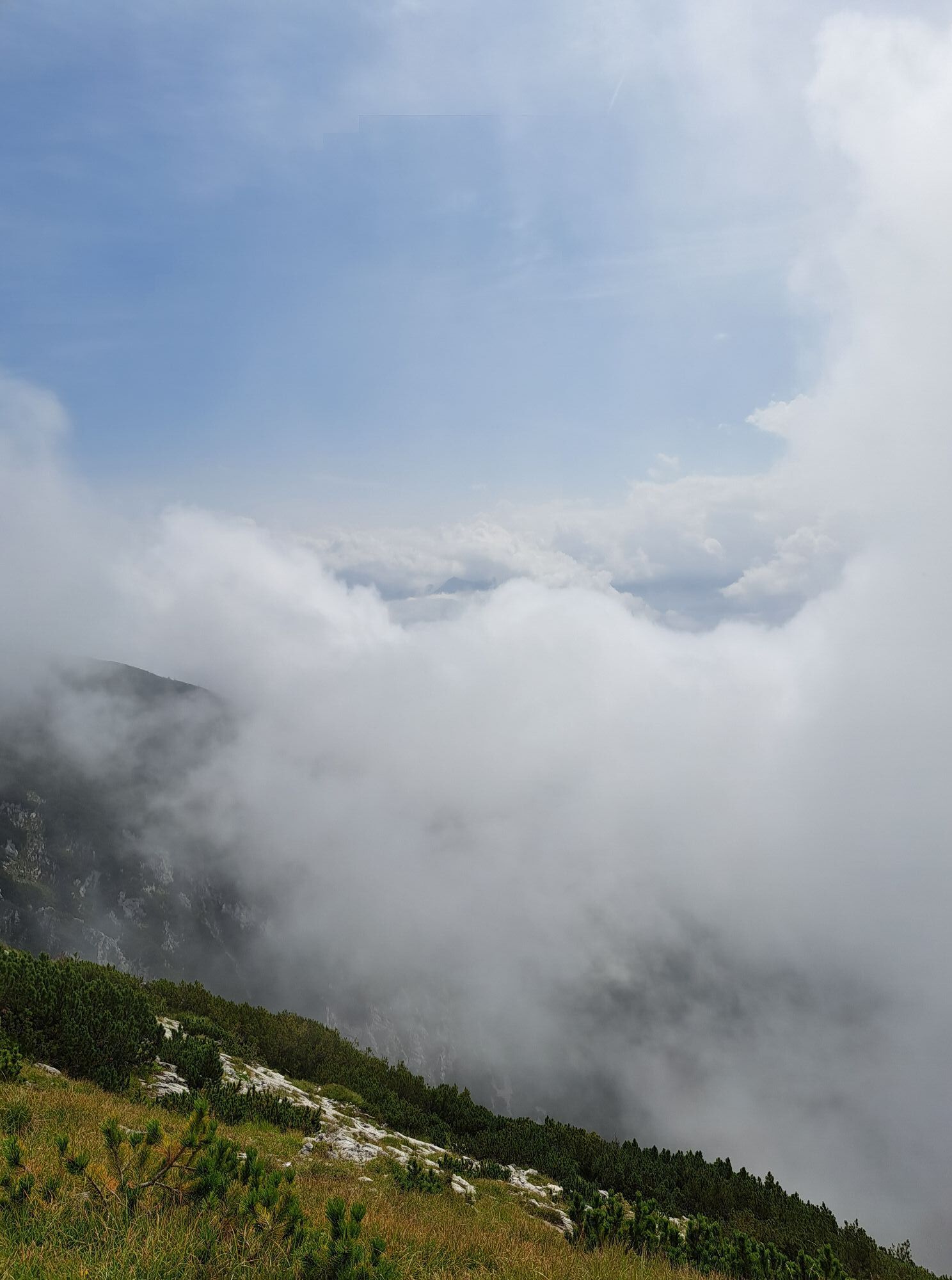
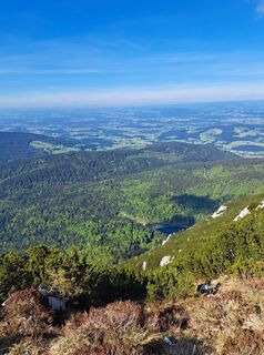
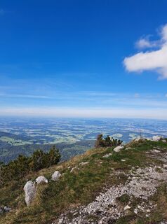
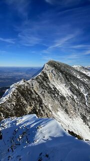
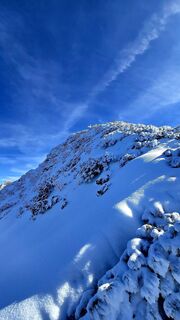
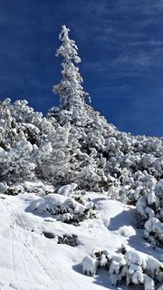
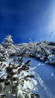
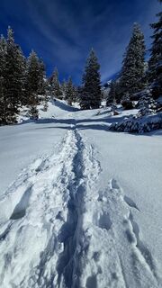
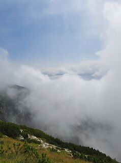
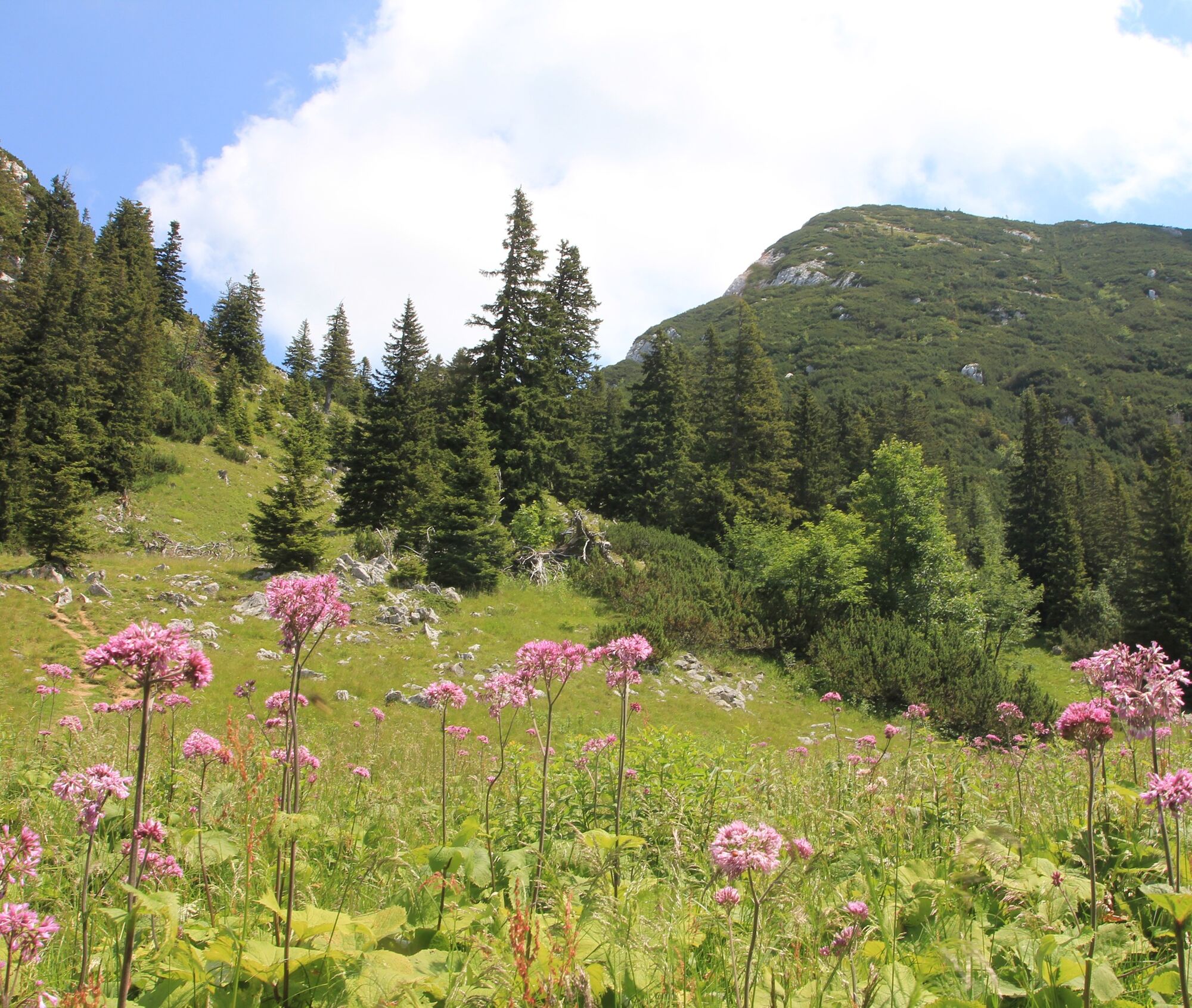
Leg strength and fitness are required on the first ascent to the Kohleralm. Serpentine after serpentine, it goes through the shady mountain forest, which guarantees fresh air, especially on hot summer...
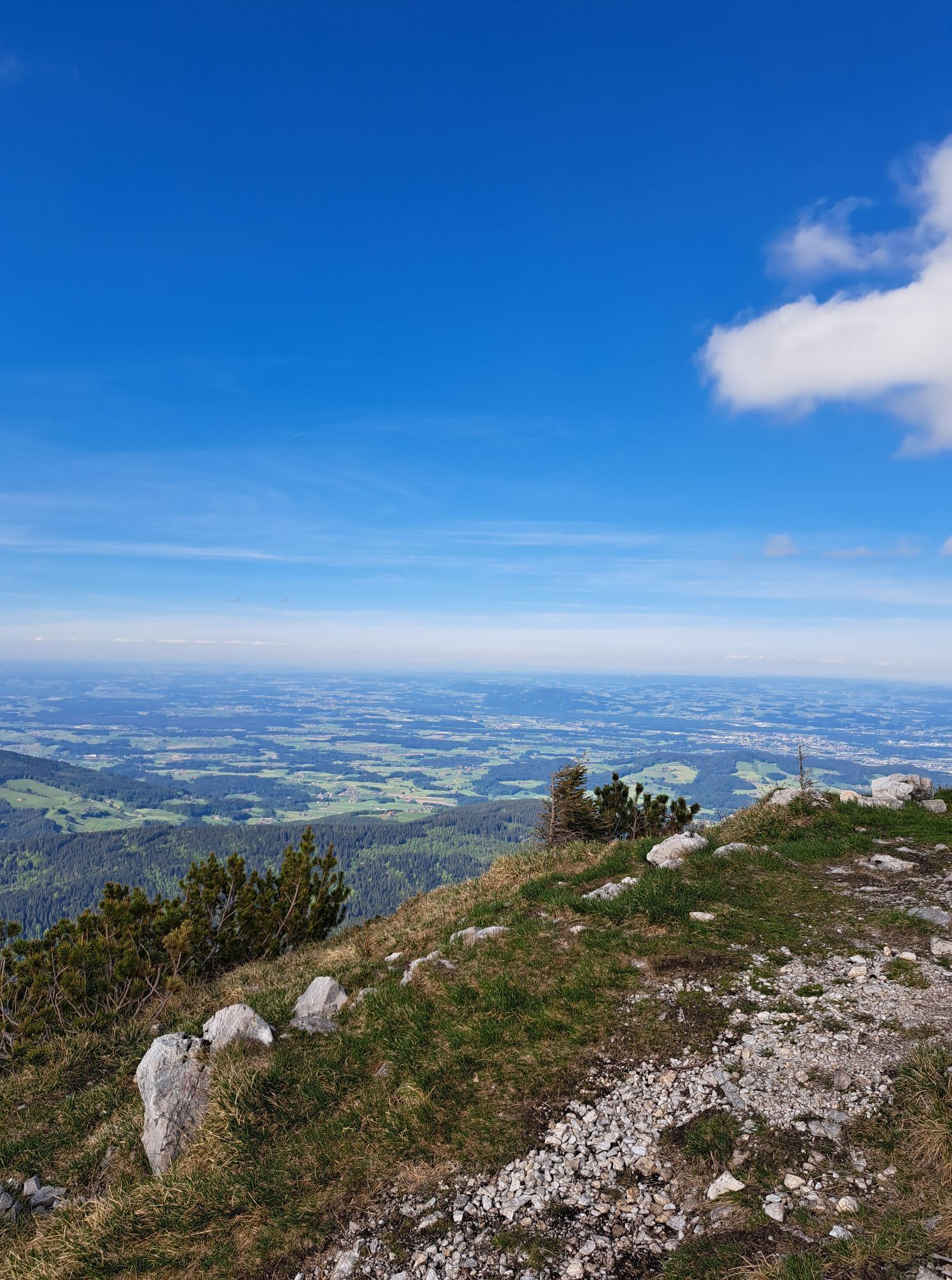
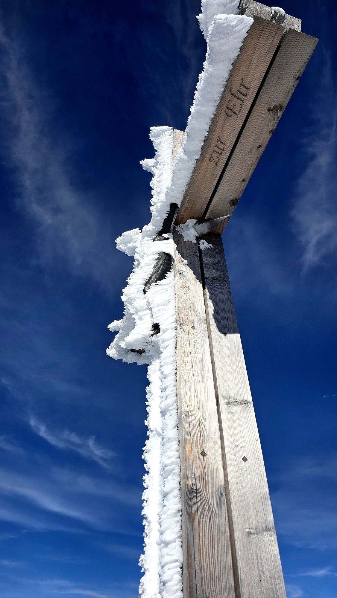
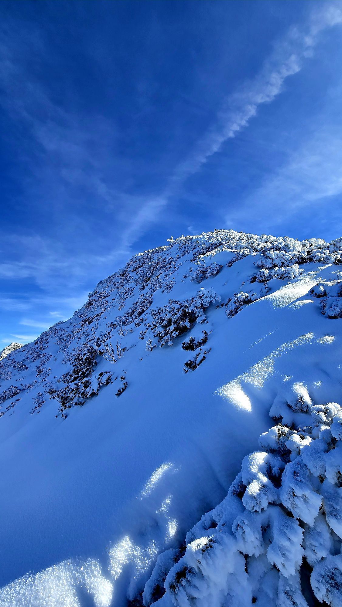
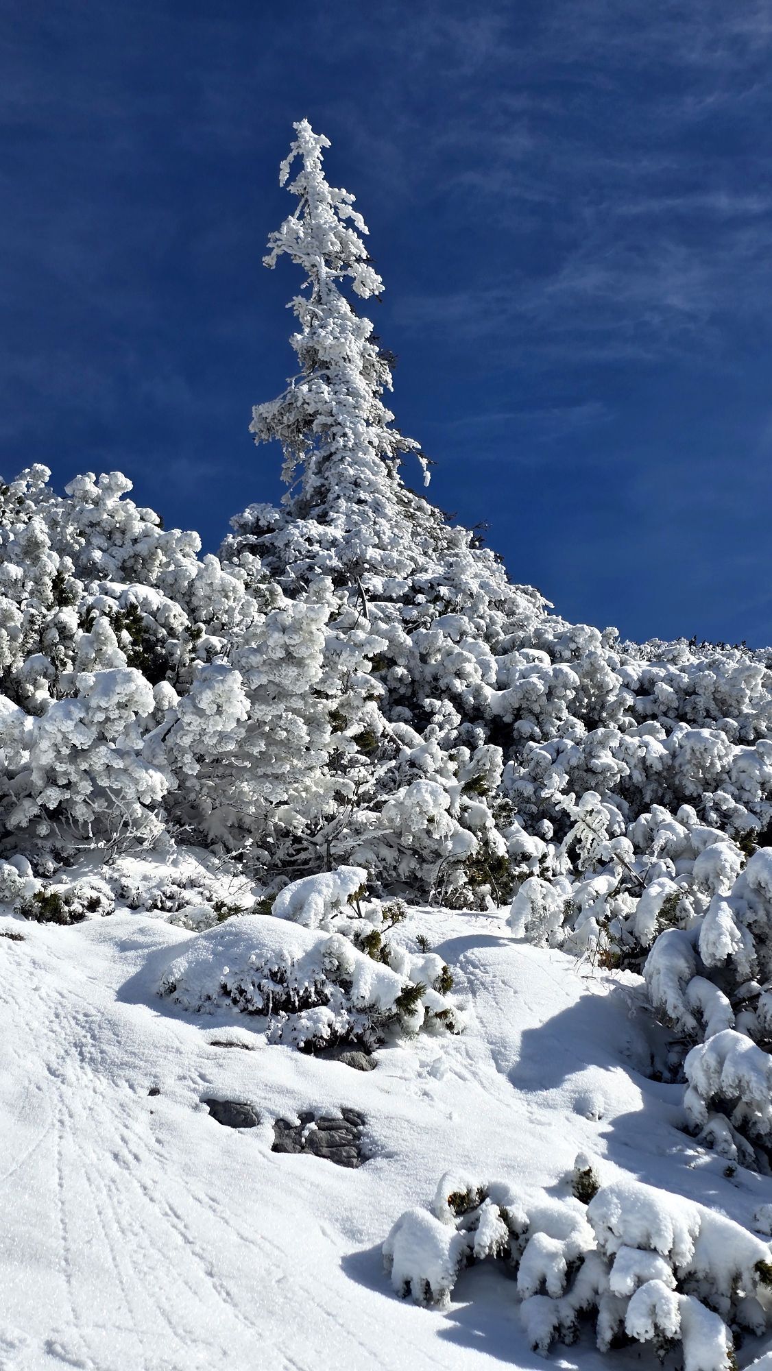
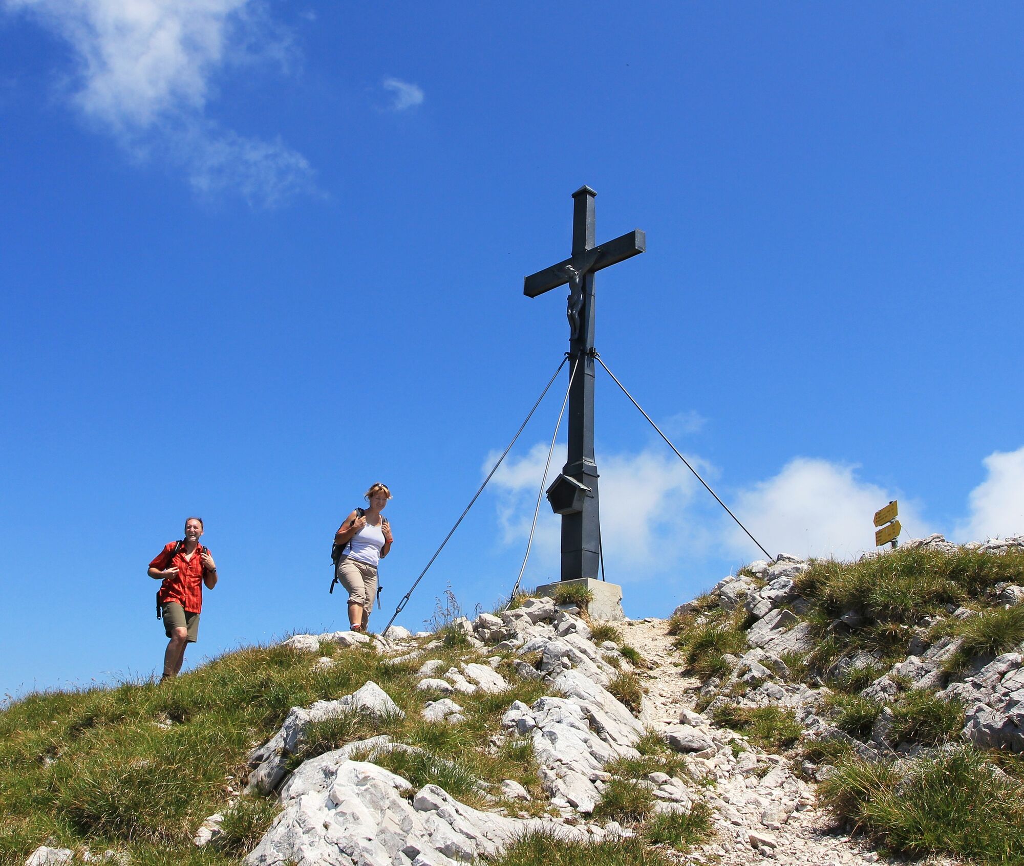
Leg strength and fitness are required on the first ascent to the Kohleralm. Serpentine after serpentine, it goes through the shady mountain forest, which guarantees fresh air, especially on hot summer days. From the alpine pasture, a narrow path leads through dwarf pine fields and over rock steps to the summit cross of Gamsknogel. The viewing lodge is often shared with the cheeky alpine choughs, who greedily eye the brought snacks.

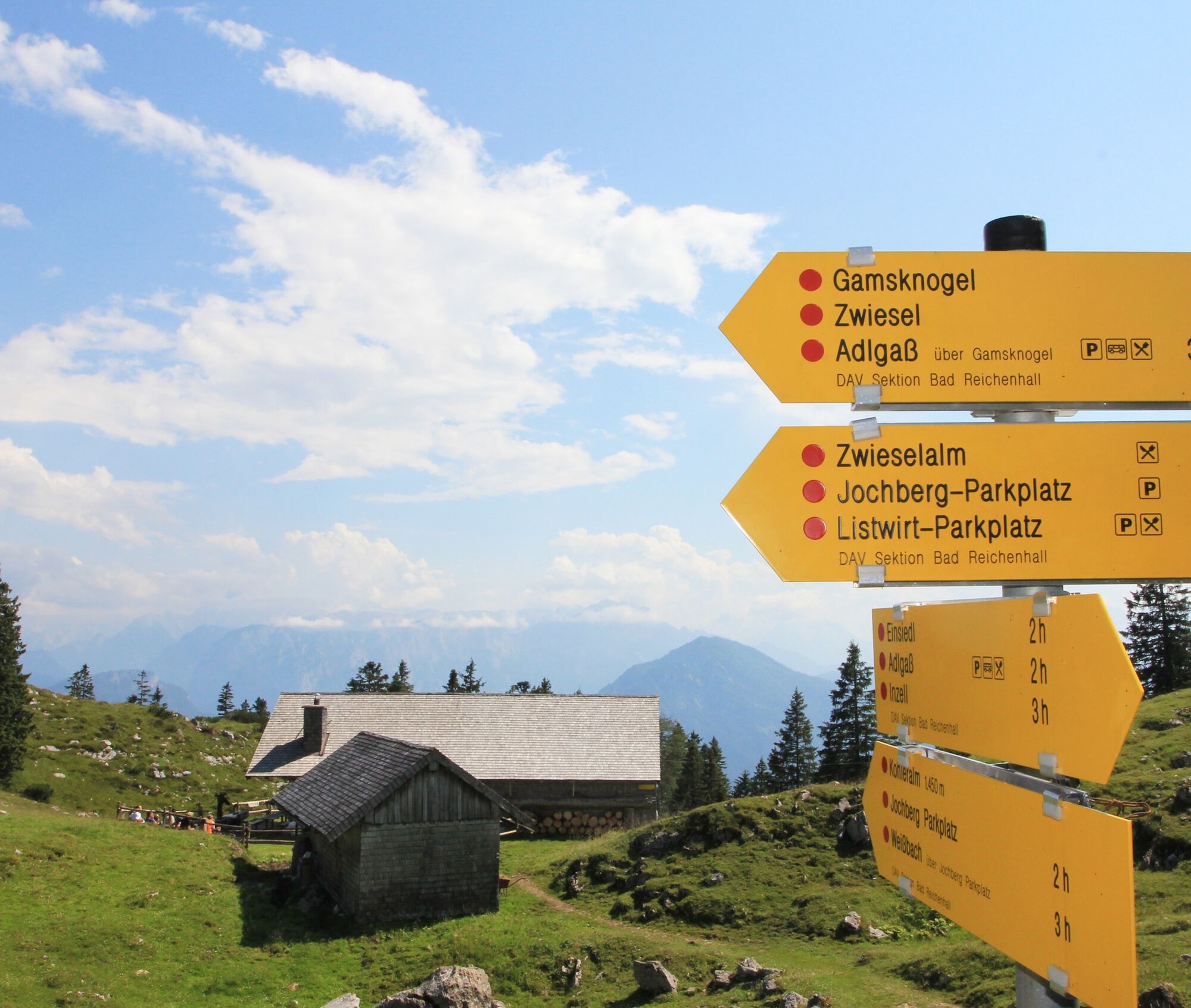
The route starts at the chapel in Einsiedl east of Inzell. Heading southeast, we enter the forest on the natural path. Always following the path straight ahead, it gently ascends on gravel. After just over one kilometer of walking, we turn right and follow the natural path until it takes a sharp left turn.
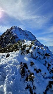
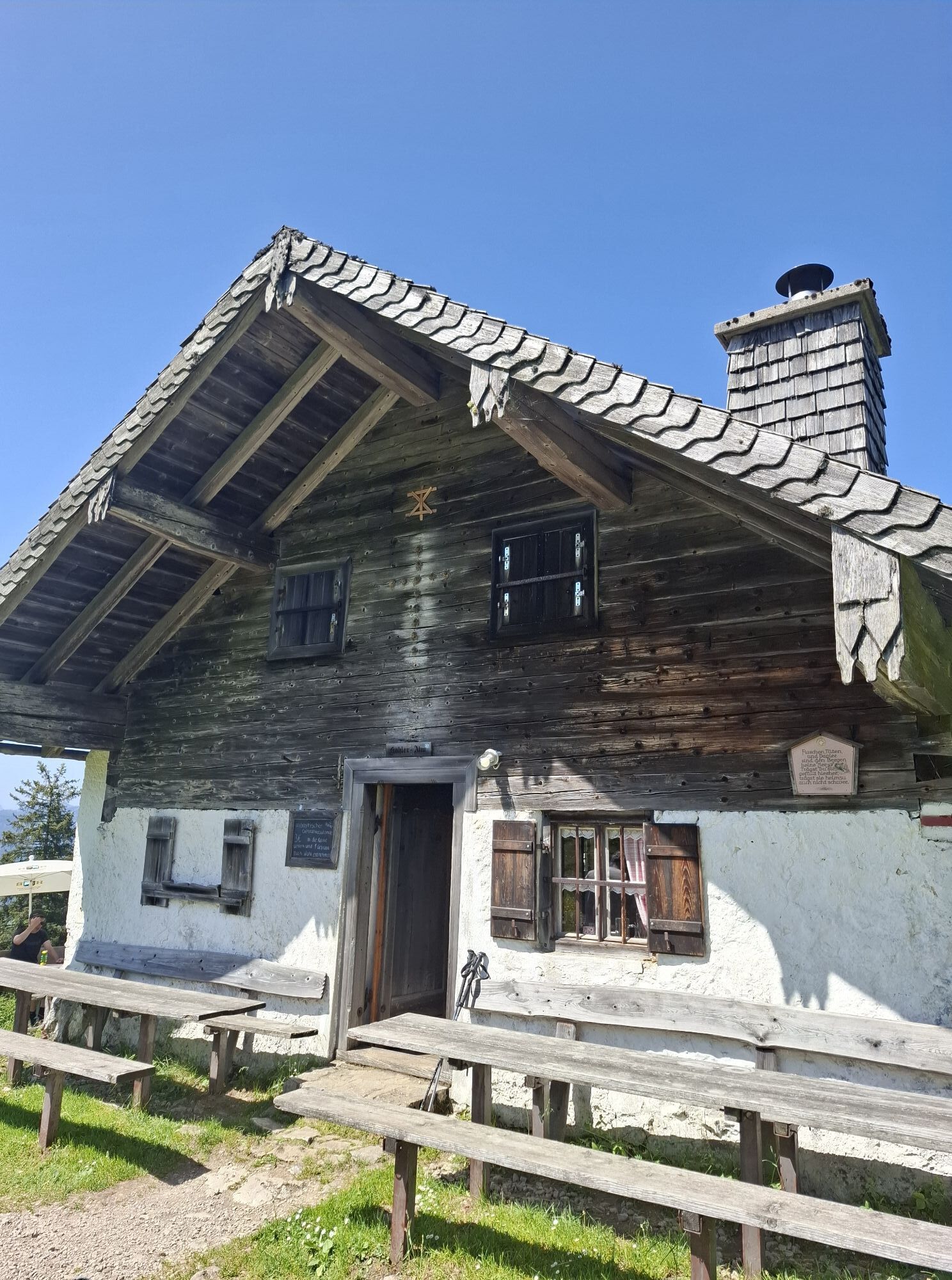
Then it steeply climbs over the switchbacks to the Kohleralm. Those who want to can take a rest here before continuing always keeping left, via climbing paths to the summit at 1,750 meters.
Ano
Ano
Day hiking backpack (approx. 20 liters) with rain cover, sturdy and comfortable footwear, possibly crampons and gaiters, weather-appropriate and durable clothing in layers, telescopic poles, sun and rain protection, provisions and drinking water, first aid kit, pocket knife, mobile phone, headlamp, maps, possibly bivy sack and emergency blanket.
Mountain tours with children: According to the German Alpine Club, tours with children under six years old should not last longer than three to four hours. School children can go further if rest breaks are taken and they are motivated. As a rule of thumb for walking time indications: 1.5 times the normal walking time for adults corresponds approximately to the walking time with children.
Via the Munich - Salzburg motorway (A8), exit 112 Inzell at km 99 - Traunstein/Siegsdorf. Along federal road 306 through the graceful Chiemgau landscape, 11 km to Inzell. In the village, follow the road over the river "Rote Taun" and then take the first exit on the left. At the beginning of Breitmoos turn left and immediately take the first turn to the right. Then follow the road to the end.
There are several parking spaces available at Einsiedl.
Oblíbené prohlídky v okolí
-
4.3
Staufen-Bergtour
středníTuristika 14.1 km -
3.2
From Heutal to Sonntagshorn in the Salzburger Saalachtal
středníTuristika 11.7 km -
4.5
Unternberg
světloTuristika 9.20 km -
4.0
From Latschenwirt over Tannenwinkel to Wolfschwang
světloTuristika 5.88 km -
3.6
Rauschberg Rundwanderung über Sackgrabensteig
světloTuristika 18 km -
2.8
Almerlebnisweg Ramsau
Turistika 11.8 km -
4.9
Dötzenkopf Rundweg
středníTuristika 6.73 km -
4.4
Hochstaufen
heavyTuristika 7.59 km -
4.4
unternberg Ruhpolding, Bayern
středníZimní turistika 3.82 km -
4.6
Alpgarten-Rundweg
Turistika 2.93 km

Pěší turistika a stopování


Nenechte si ujít nabídky a inspiraci pro vaši příští dovolenou
Vaše e-mailová adresa byl přidán do poštovního seznamu.