







Mill Route - Loop 16 of the Altmühltal Panorama Route
From the Altmühl Bridge in Arnsberg, the route follows the Altmühl into the Schambach valley, where many mills are still preserved. The Rauchenberg trail runs along rock walls to Schambach with the pilgrimage...
From the Altmühl Bridge in Arnsberg, the route follows the Altmühl into the Schambach valley, where many mills are still preserved. The Rauchenberg trail runs along rock walls to Schambach with the pilgrimage church Holy Cross from the year 1757. In Attenzell, you take the path to the Arndt Cave. Anyone who wants to dare the descent into the 30-meter deep cave should bring a jacket and flashlight. A wild romantic section with narrow paths along the Husarensteig and Plazotta trail is followed by a steep ascent to Kipfenberg Castle with the Roman and Bavarian Museum. The geographic center of Bavaria lies on the route before leading through the forest to the karst spring “Green Pot.” On the Altmühltal Panorama Route, it goes back to Arnsberg. About halfway along the Husarensteig you can shorten the loop with a direct connection to Arnsberg (dotted line).

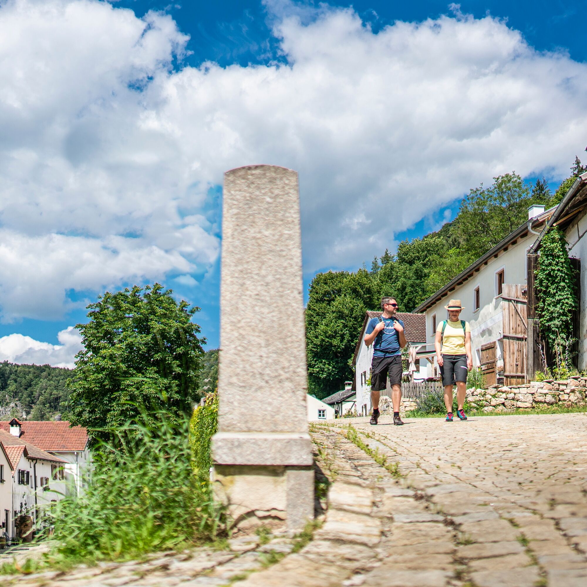

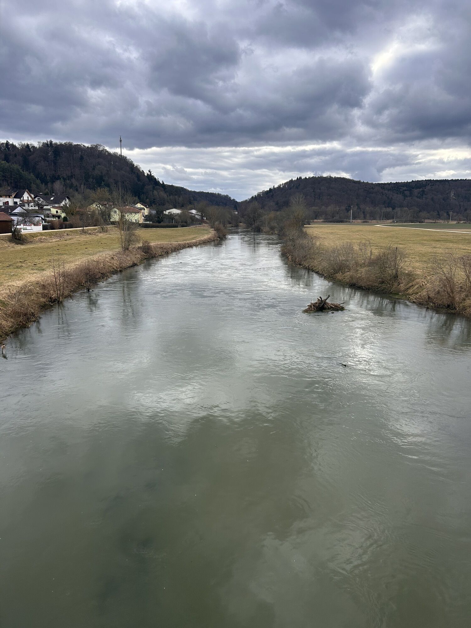
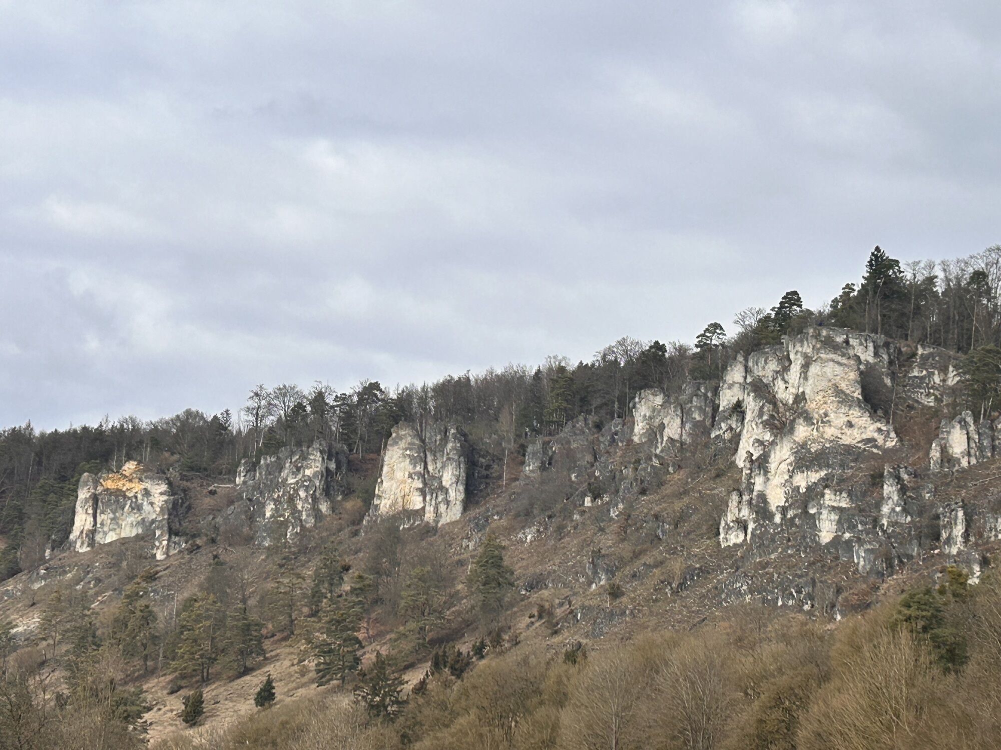
We start our route in Arnsberg at the parking lot at the Altmühl Bridge. From here the path leads south along the Altmühl. We cross the street (state road), already see the first mill of the Schambach valley (Böller Mill) on the right, but leave it behind and follow the street (Böllermühlstraße) about another 300 m. Then we turn right (“Zur Forstermühle”), cross the Schambach over a small bridge and see the Freitag Mill directly ahead. Along the path lined with fruit trees and past a small chapel, we march right up to the edge of the forest. Here the path gently ascends and brings us after about 1 km to the entrance to the Rauchenberg trail. Above the Schambach, we walk past rock walls, catch great views of the Peter Mill and the valley and follow the trail downwards after about 1 km. We cross hiking trails 5, 6, 7, and 9, follow the signs and reach, past meadows and the Helen Chapel, which is right on the Schambach, the Roth Mill, which we leave on the right. After crossing the Schambach, we pass the inn. We go around it until we reach the road intersection. Once there, there is the possibility to make two short detours: to the left it goes to the water treading basin (200 m) with a small playground, to the right we come to the Catholic pilgrimage church “Holy Cross” (200 m) as well as the beaver platform (1 km) somewhat outside the village.
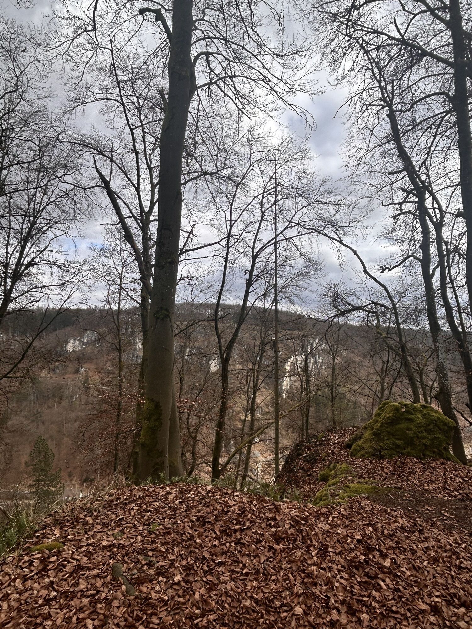
To follow the hiking trail, we cross the street and go a bit uphill towards Attenzell, until about 200 m later the entrance to the Glockersteig trail is on the right. Past moss-covered rock formations, it goes through open forest (again and again with nice views into the valley), until after about 700 m we reach the edge of the forest shortly before Attenzell. Past fields, we follow further signage and cross the local connecting road to Arnsberg (watch out for traffic). It continues along the edge of the forest and turning left following signs to the Arndt Cave. Here we take a short break and explore the natural cave independently, equipped with a flashlight and warm clothing.
Afterwards, we reach a meadow path on a slight downhill slope that soon meets a wide forest road. From this, after about 1 km, we branch off onto a forest path leading above the Birktal to Kipfenberg. On the “Husarensteig,” later “Plazottasteig,” narrow trails nestled against rocks, we cross the route of the eastern ascent to Michelsberg, enjoy a great view from the viewing platform into Birktal with its juniper bushes, and continue downhill to the parking lot in Birktal.
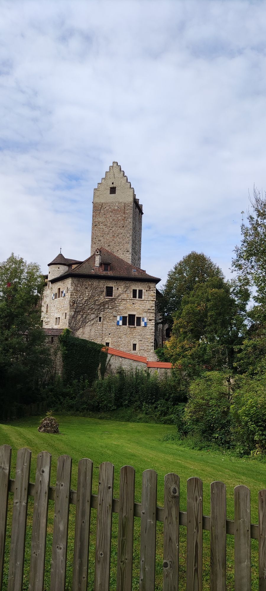
We cross the main road and reach, via a steep ascent (and partly parallel to the Kressensteig - hiking trail 3), Kipfenberg Castle with the Roman and Bavarians Museum with the Limes info point (about 20 min.) and further to the geographic center of Bavaria (from the museum about 10 min.). From there, we hike over the Limes hut on a serpentine forest path downhill. The path stops just above Kipfenberg at the Protestant church (refreshments possible at the marketplace 200 m away).
The path leads us further north mostly on narrow paths and past impressive rock formations to the karst spring “Green Pot” in Grösdorf, which we reach after 1.5 km. Through the district (refreshments possible) and Engelgrösdorf on the other side of the Altmühl (west bank), the well-marked route leads us to the connection to the Altmühltal Panorama Route, on which we arrive back at our starting and destination point Arnsberg.
Demanding hiking trail, which in sections leads as a narrow path along rock walls and steep slopes.
Direct connection from Birktal to Arnsberg leads straight to the Altmühltal Panorama Route (shortcut)

Oblíbené prohlídky v okolí
-
4.5
Kipfenberg, Kleine Grotte - Arndhöhle
světloTuristika 8.35 km -
Altmühltal-Panoramaweg
střednídálková pěší trasa 199.2 km -
5.0
Schambach Kipfenberg Rundweg
středníTuristika 19.7 km -
Schambachtal Umrundung
světloTuristika 4.56 km -
5.0
Kinding - Kratzmühlsee
středníTuristika 8.61 km -
5.0
Ritter- und Römerweg Schlaufe 17 des Altmühltal-Panoramaweges
středníTuristika 17.7 km -
Naturlehrpfad Kaisinger Tal für Kinder ab 3 Jahren
světloTuristika 2.68 km -
Burgenweg Kinding (ab Unteremmendorf)
středníTuristika 10.4 km -
Kratzmühle - Badanhausen Rundweg
světloTuristika 8.68 km -
TraumSchlaufe Eichstätt - Schlaufe 14 des Altmühltal-Panoramaweges
středníTuristika 11.6 km

Pěší turistika a stopování


Nenechte si ujít nabídky a inspiraci pro vaši příští dovolenou
Vaše e-mailová adresa byl přidán do poštovního seznamu.





