


Mountain route - Große Klammspitz
One of the most beautiful Ammergau mountain routes starts near Schloss Linderhof and leads over the Brunnenkopfhäuser to the Große Klammspitze.
Overnight stays are also possible at the Brunnenkopfhäuser.
One of the most beautiful Ammergau mountain routes starts near Schloss Linderhof and leads over the Brunnenkopfhäuser to the Große Klammspitze.
Overnight stays are also possible at the Brunnenkopfhäuser.

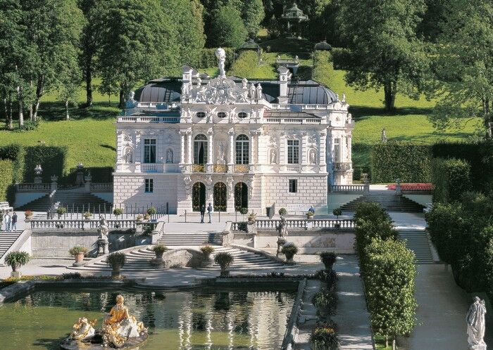
The route starts at Schloss Linderhof (bus stop and paid parking).
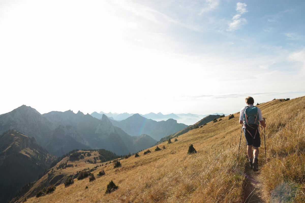
From the parking lot at Schloss Linderhof, the ascent begins on a wide, shady forest path to the Brunnenkopfhäuser. This is the only refreshment option on the route.
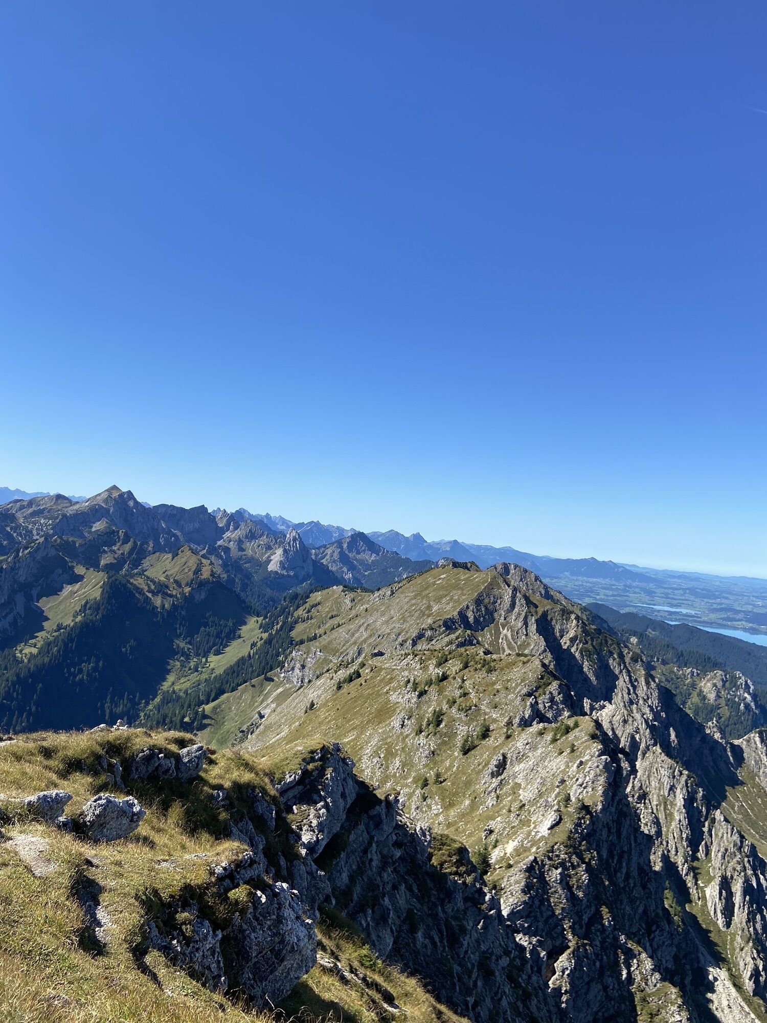
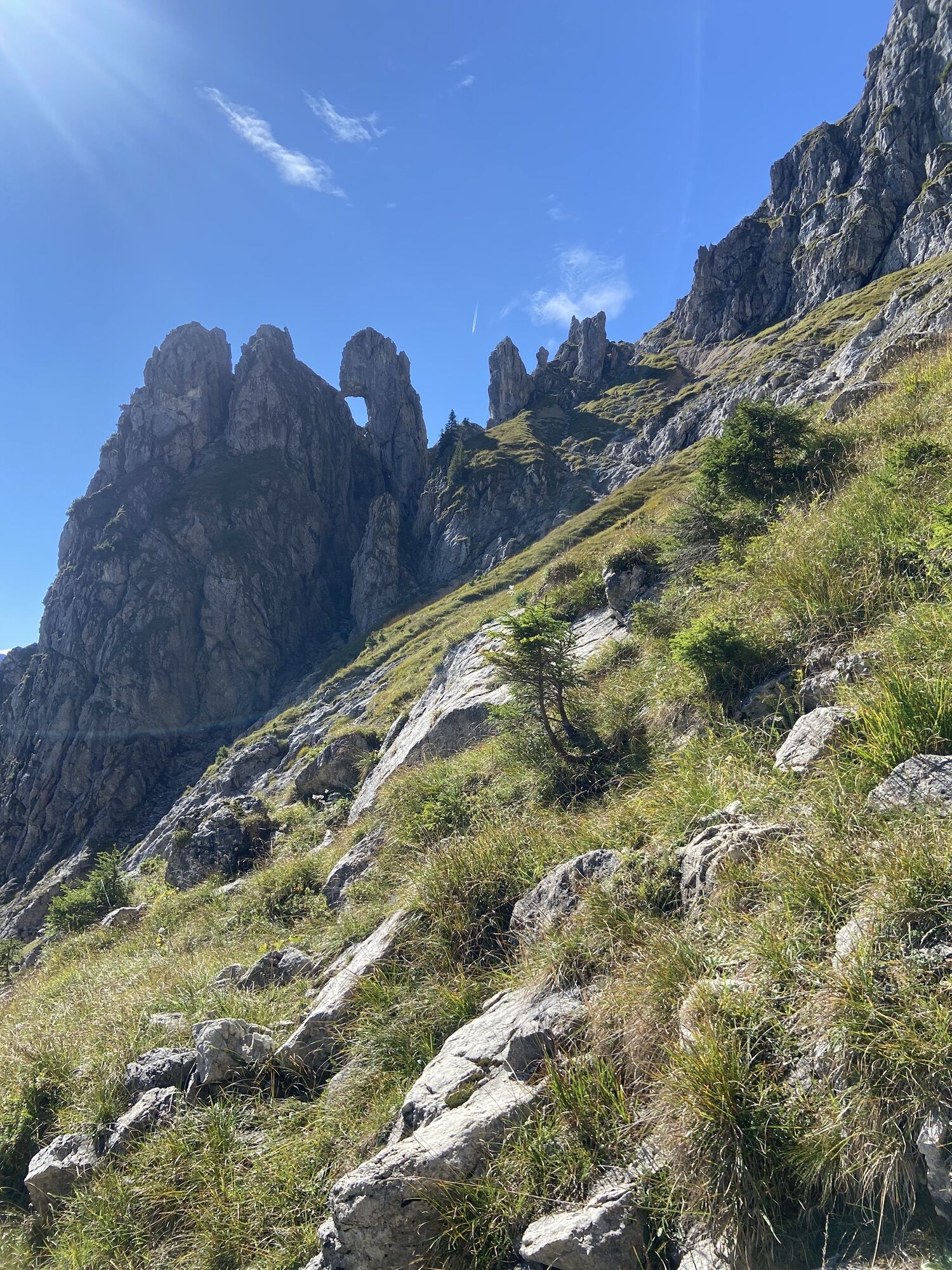
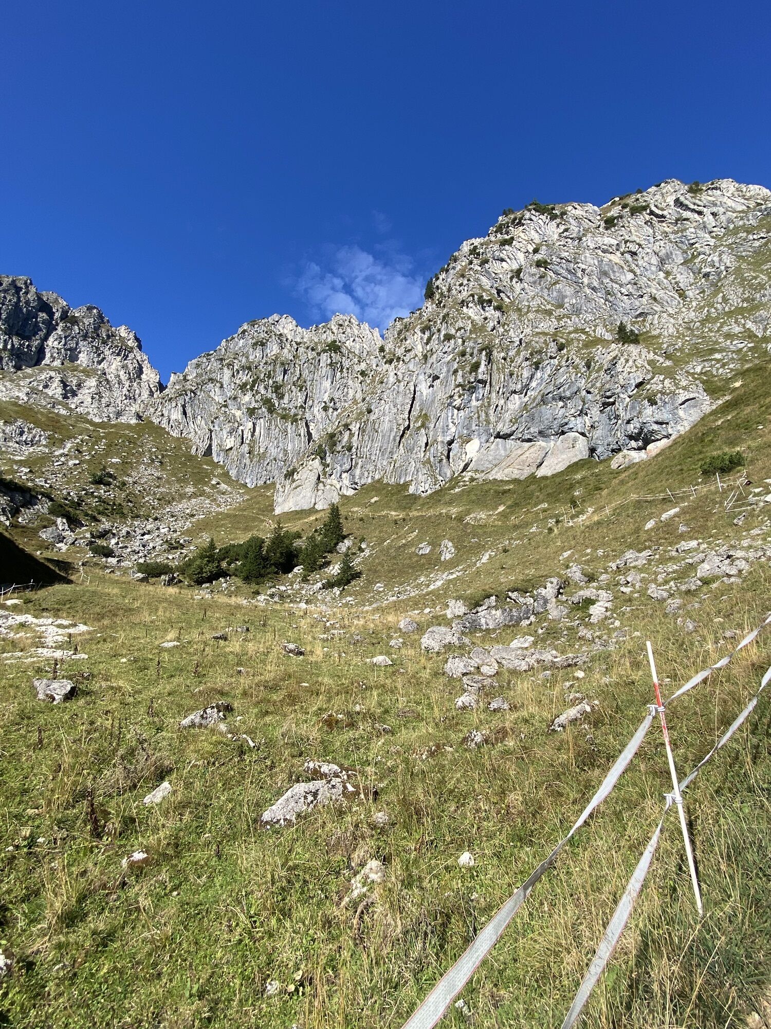
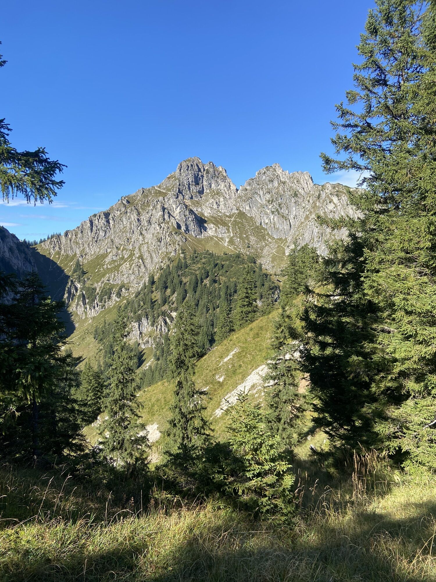
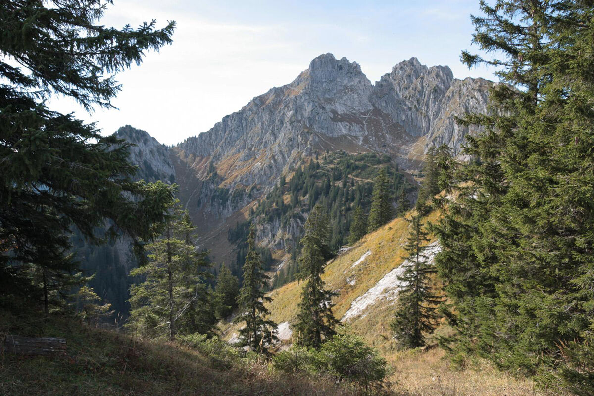
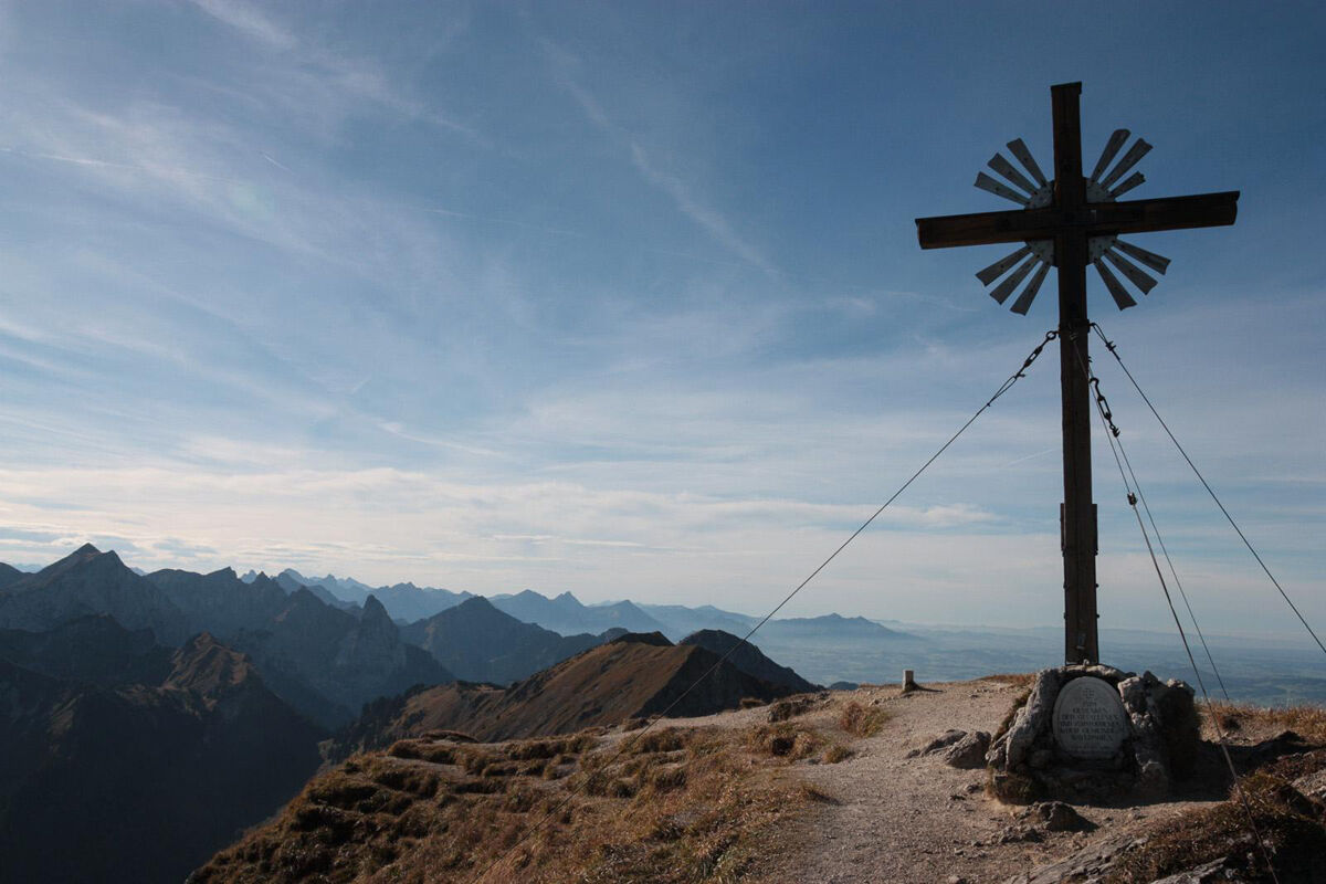
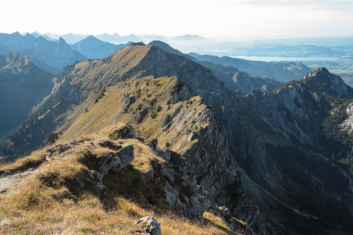
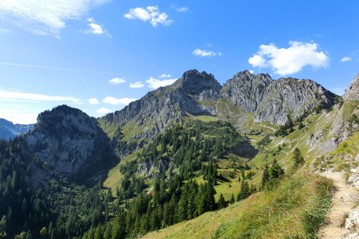
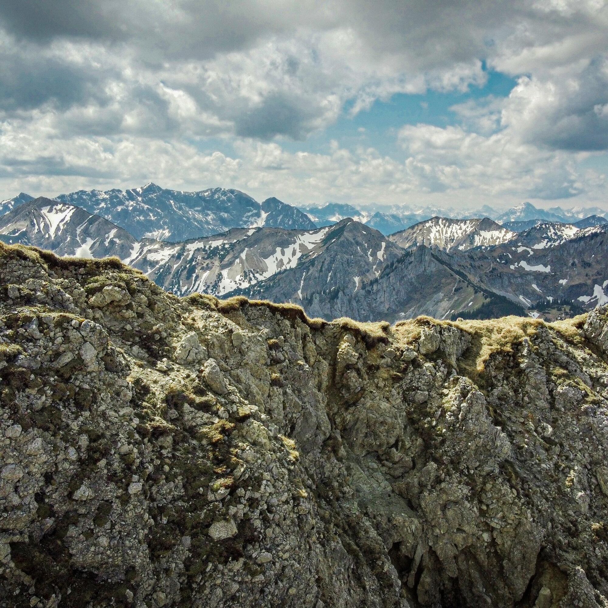
If you want to climb the first summit of the day right at the Brunnenkopfhäuser, follow the trail up to the Brunnenkopf. Back at the Brunnenkopfhäuser, follow the trail towards Große Klammspitze. After halfway through this section, you can take a detour over challenging terrain to the Kleine Klammspitze (recommended only for experienced climbers!). Otherwise, continue on the marked path into the cirque beneath Große Klammspitze and up to the summit.
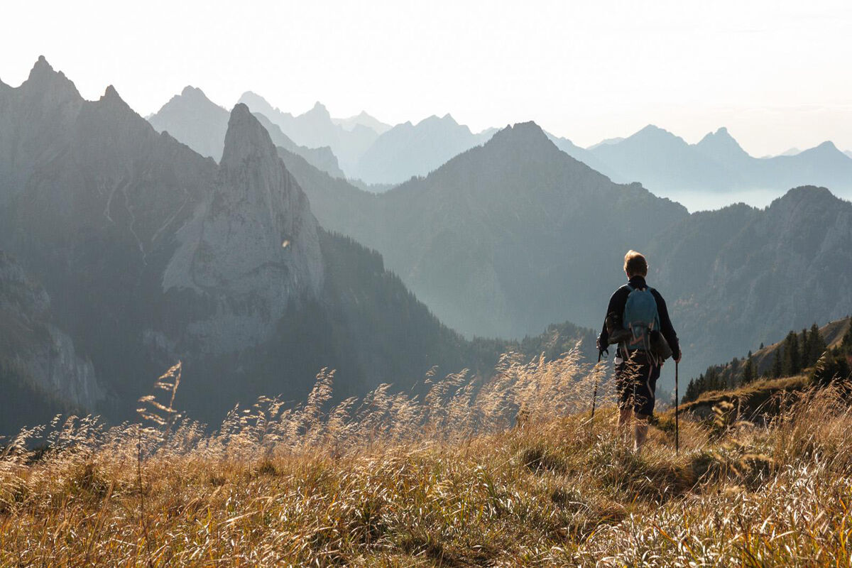
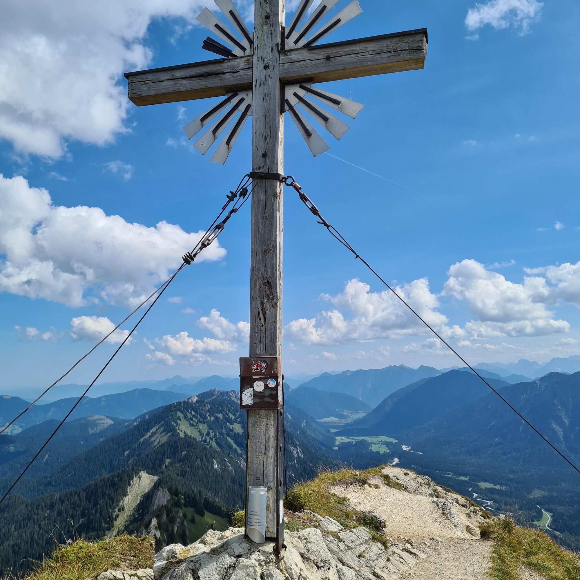
Here you have reached a fantastic viewpoint mountain that is worth taking a break at. The descent follows the same path past the Brunnenkopf hut.
Our recommendation:
Never get lost again – we recommend the free app "Zugspitz Region," which includes GPX tracks for all routes in the region.
Ano
Welcome to the Nature Park Teststubn! Here you can extensively test hiking poles, daypacks, child carriers, and crampons from well-known manufacturers before deciding on a purchase. Let our team advise you to experience the best possible outdoor adventure. You will find our Nature Park Teststubn at the tourist information offices in Bad Bayersoien and Bad Kohlgrub as well as at the Drahtesel rental Lukas Spindler in Oberammergau.
More information: www.ammergauer-alpen.de/teststubn
In an emergency, please contact the nearest rescue control center. Regardless of your location, you can reach them nationwide in Germany at phone number 112.
A95, B23 via Ettal and Granswang to Linderhof
The start and end point of this route is particularly conveniently reached by the Ammergebirge Ringbus line.
You can find all information about the ring bus here: www.ammergauer-alpen.de/ringbus
Schloss Linderhof parking lot, Linderhof
For experienced mountain hikers, it is recommended to add the summit at Feigenkopf.

Oblíbené prohlídky v okolí
- 4.5
Mountain route - Teufelstättkopf
středníTuristika 10.8 km - 4.2
Cultural trail Schutzengelweg
středníTuristika 5.13 km - 4.8
Schafkopf
světloTuristika 10.2 km - 4.5
Circular hike Dreh- and Rohrkopfhütte
světloTuristika 8.76 km - 4.6
Mountain route - Laber via Soilasee
světloTuristika 11.8 km - 4.9
Kramerspitz (Rundtour)
středníTuristika 14.5 km - 4.6
Rundwanderweg um den Eibsee
světloTuristika 6.89 km - 4.4
Mountain tour - Kofel
středníTuristika 11.3 km - 4.6
Traumhafte Panorama Plansee-Umrundung
světloTuristika 13.8 km - 4.6
Hochplatte
středníTuristika 10.4 km
Pěší turistika a stopování


Nenechte si ujít nabídky a inspiraci pro vaši příští dovolenou
Vaše e-mailová adresa byl přidán do poštovního seznamu.