





Mountain route - Hörnle-Zeitberg from Wurmansau
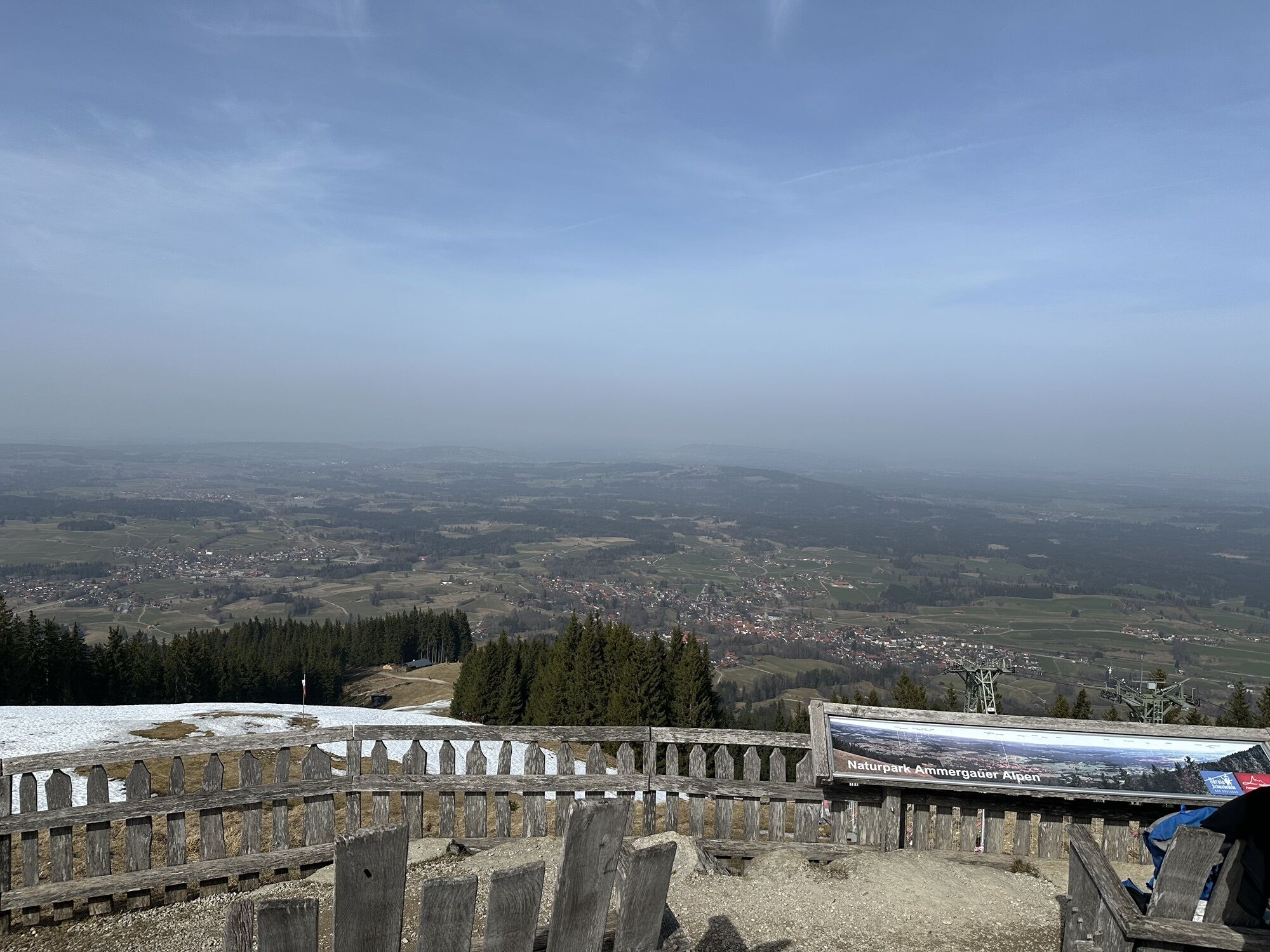
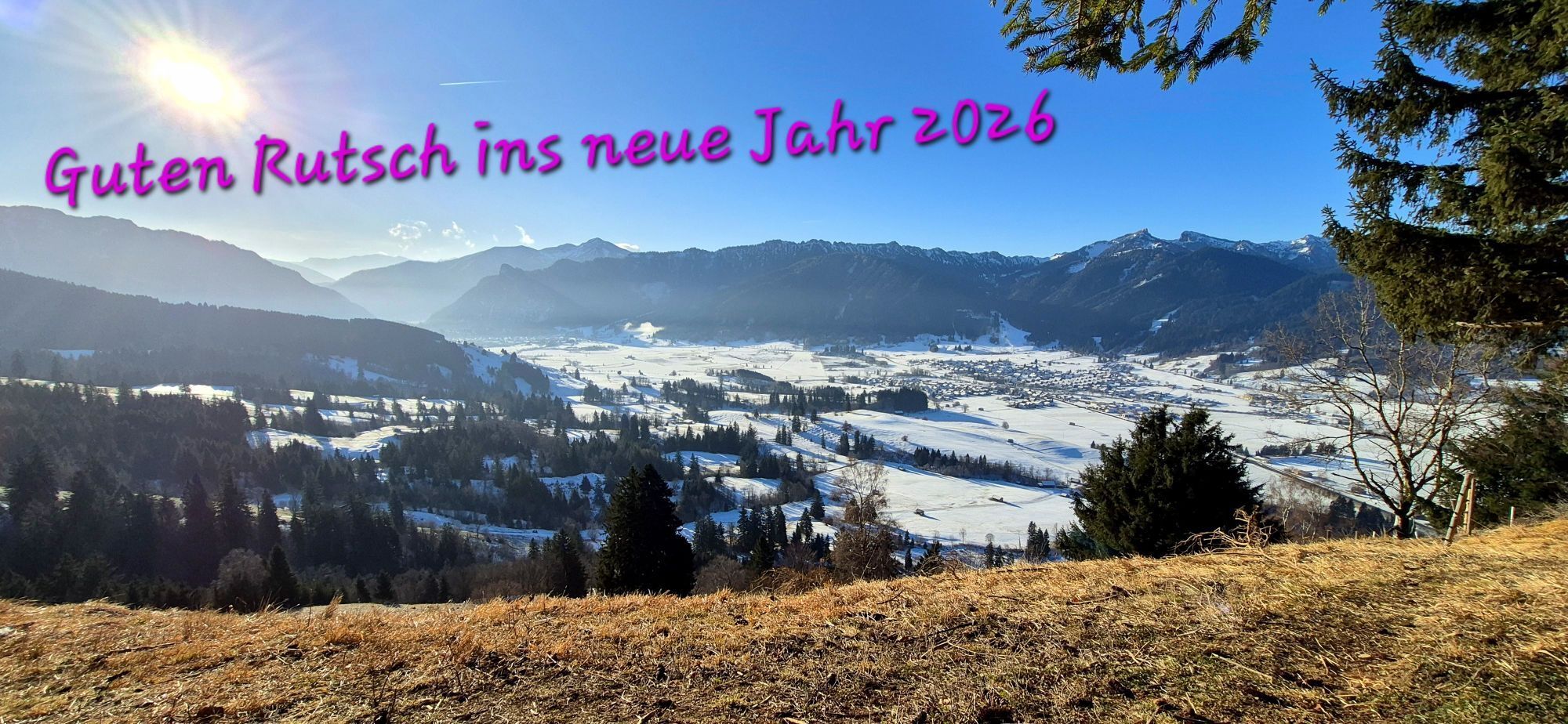
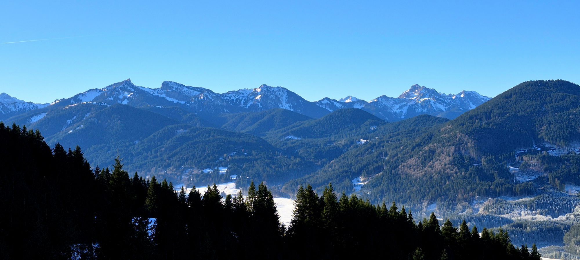
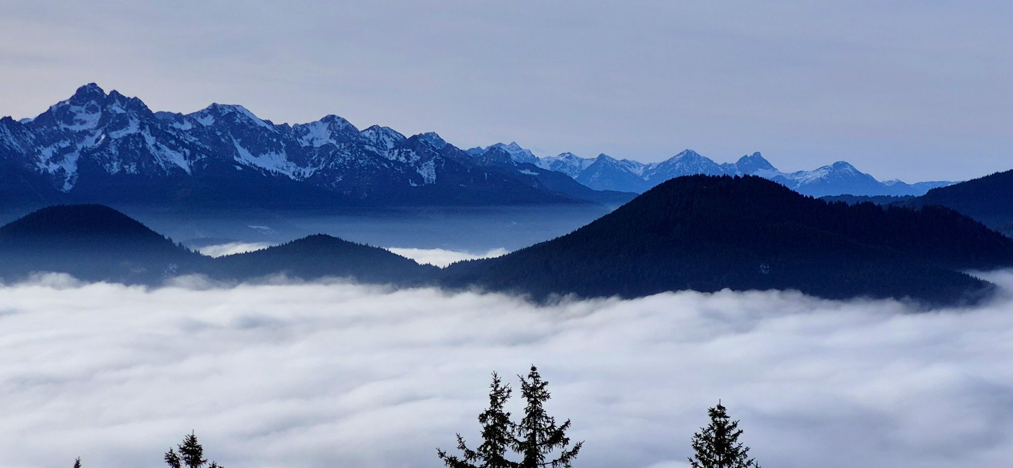
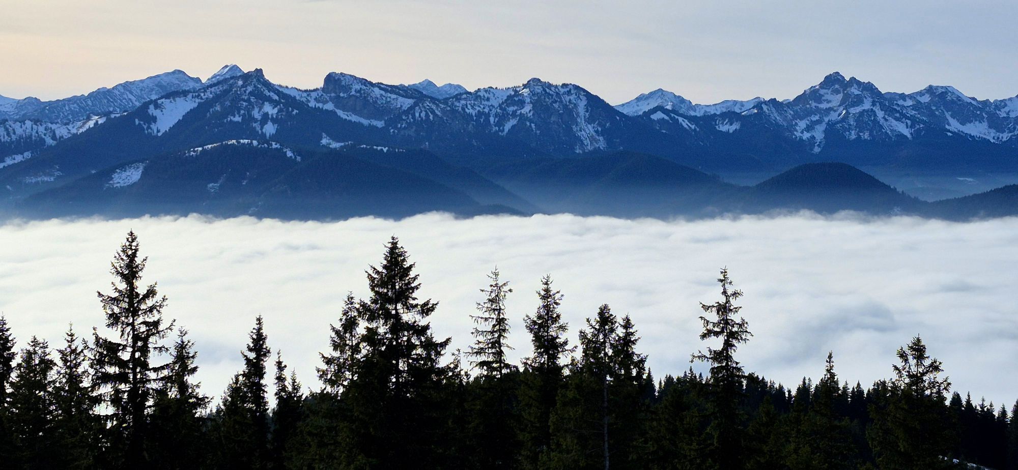
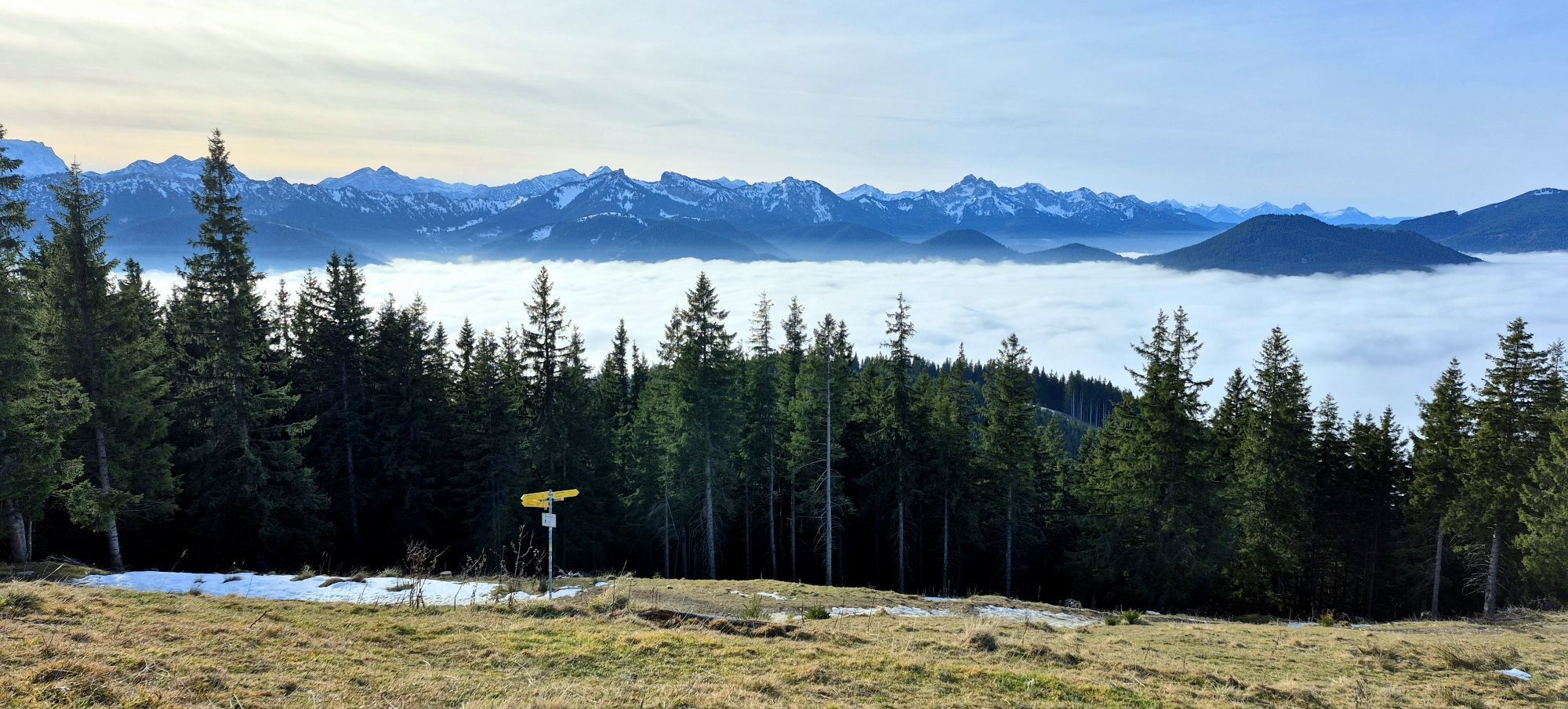
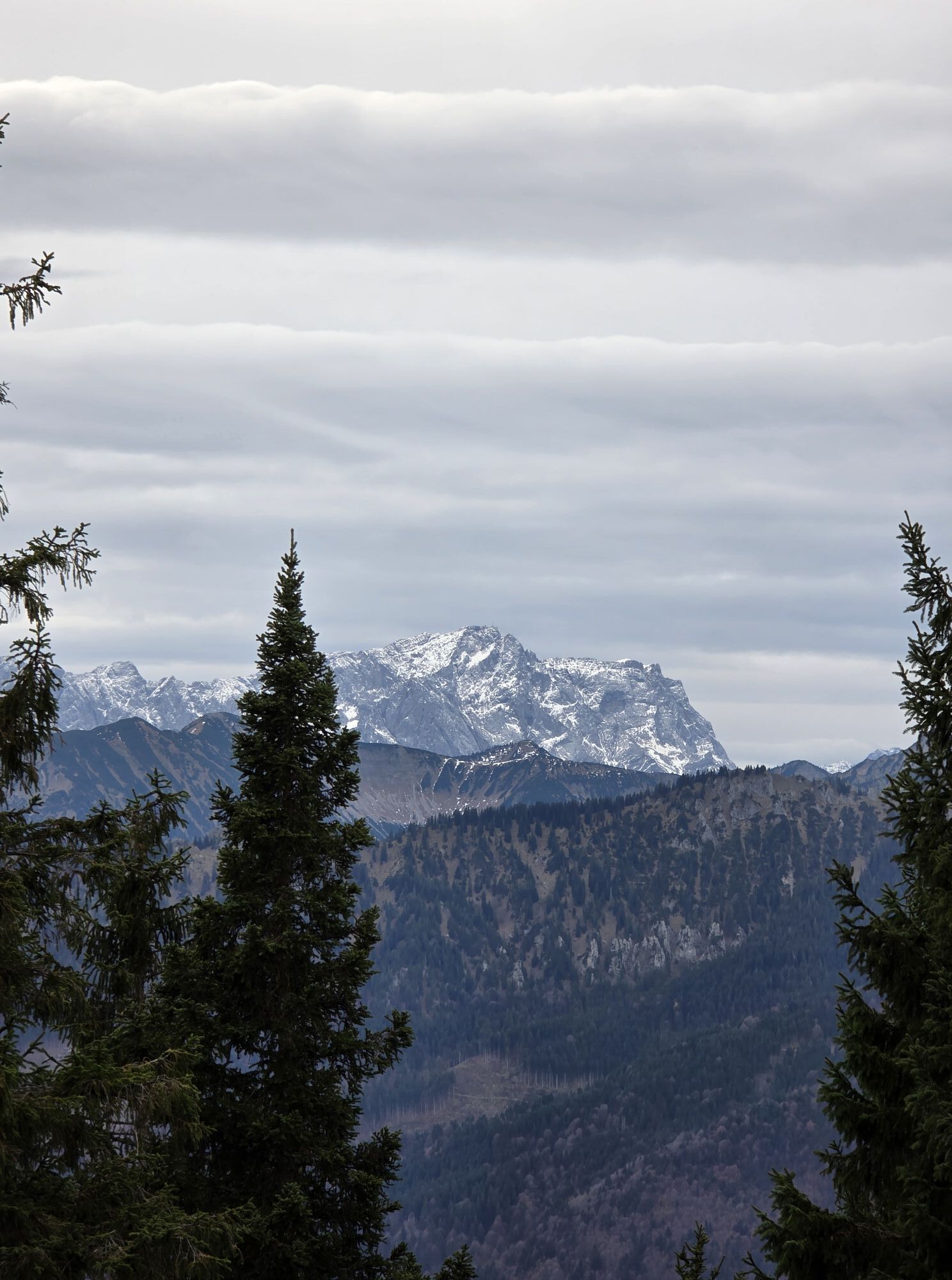
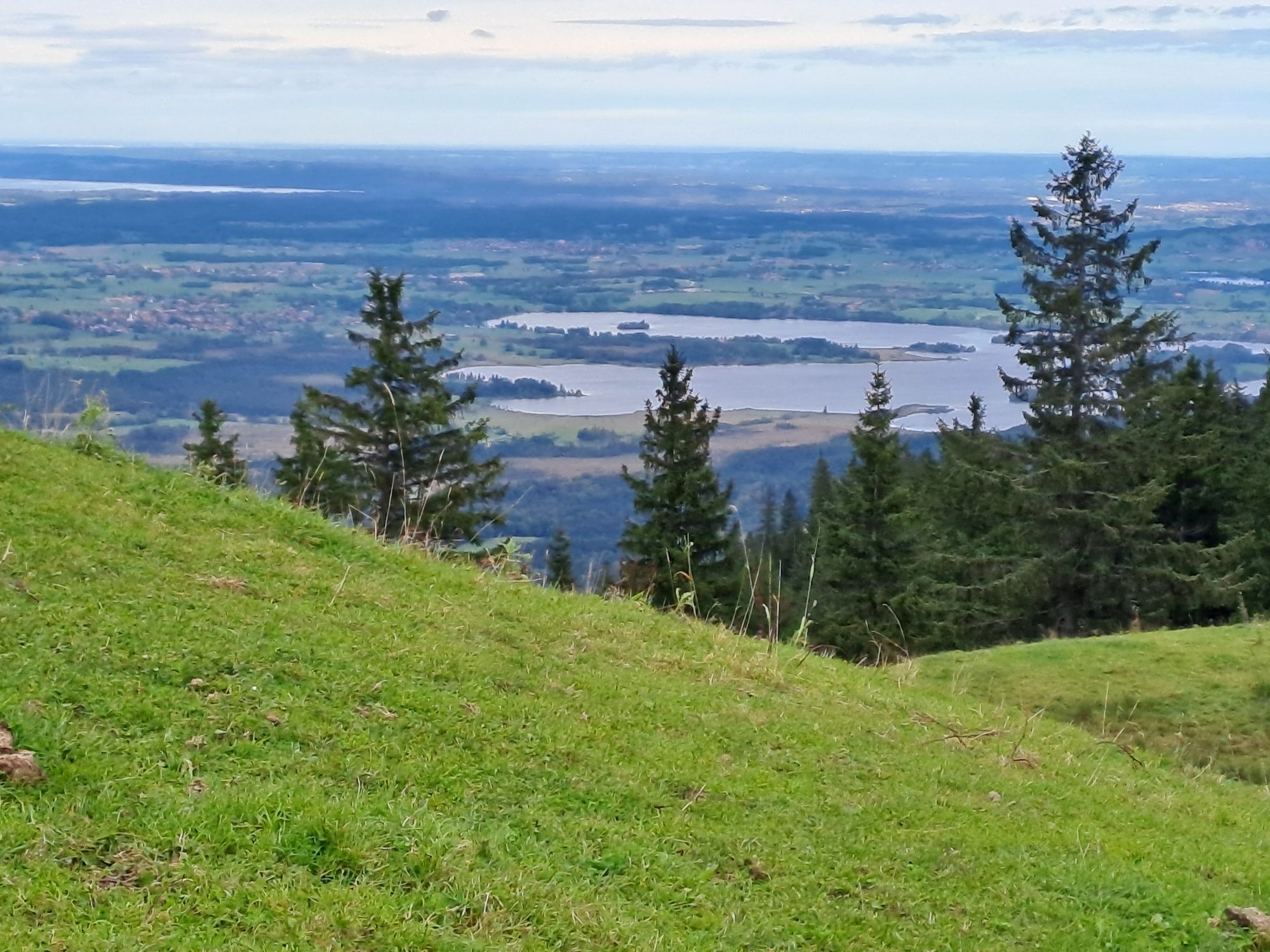

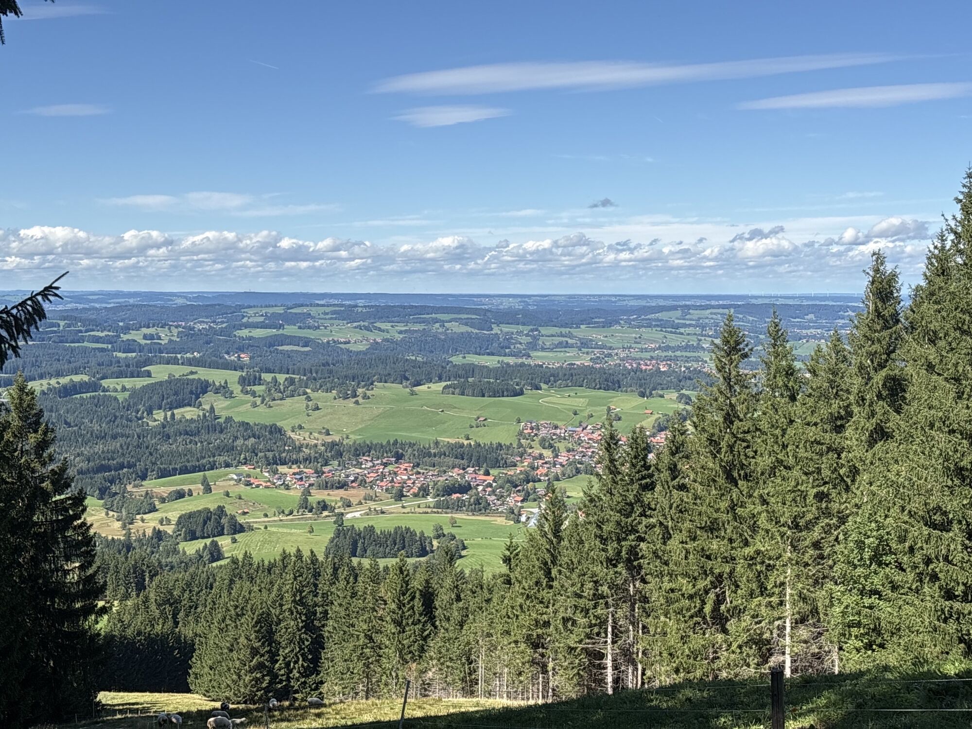
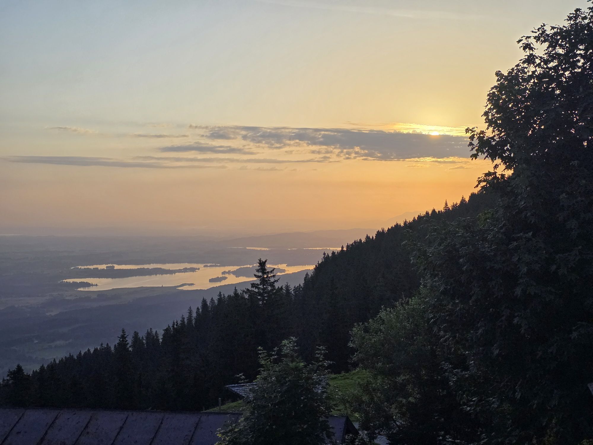
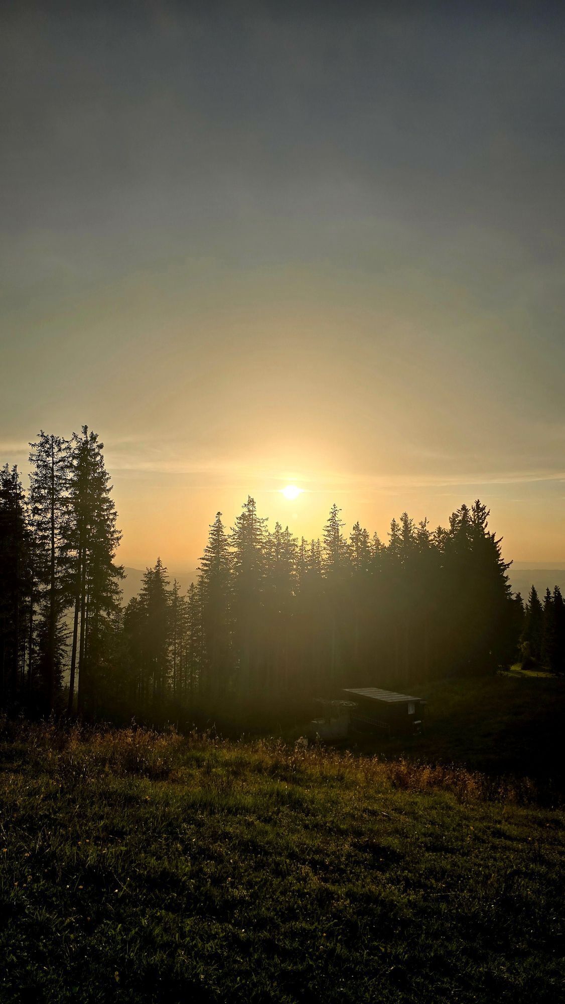
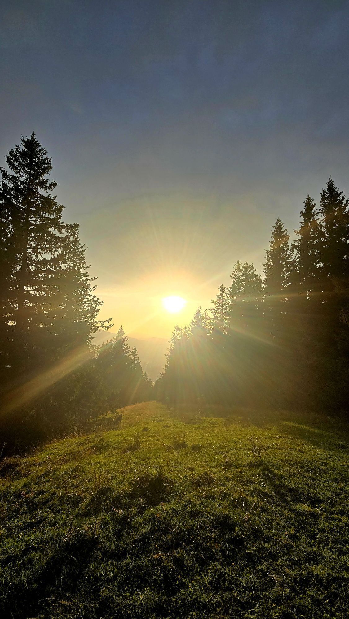
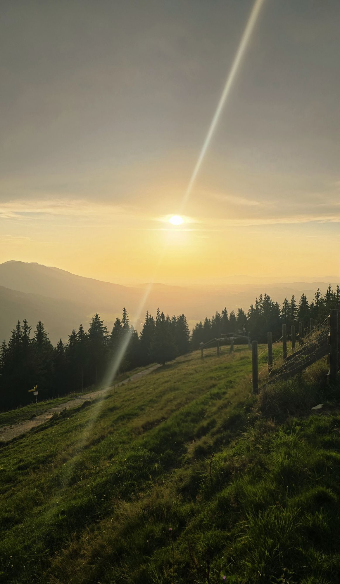

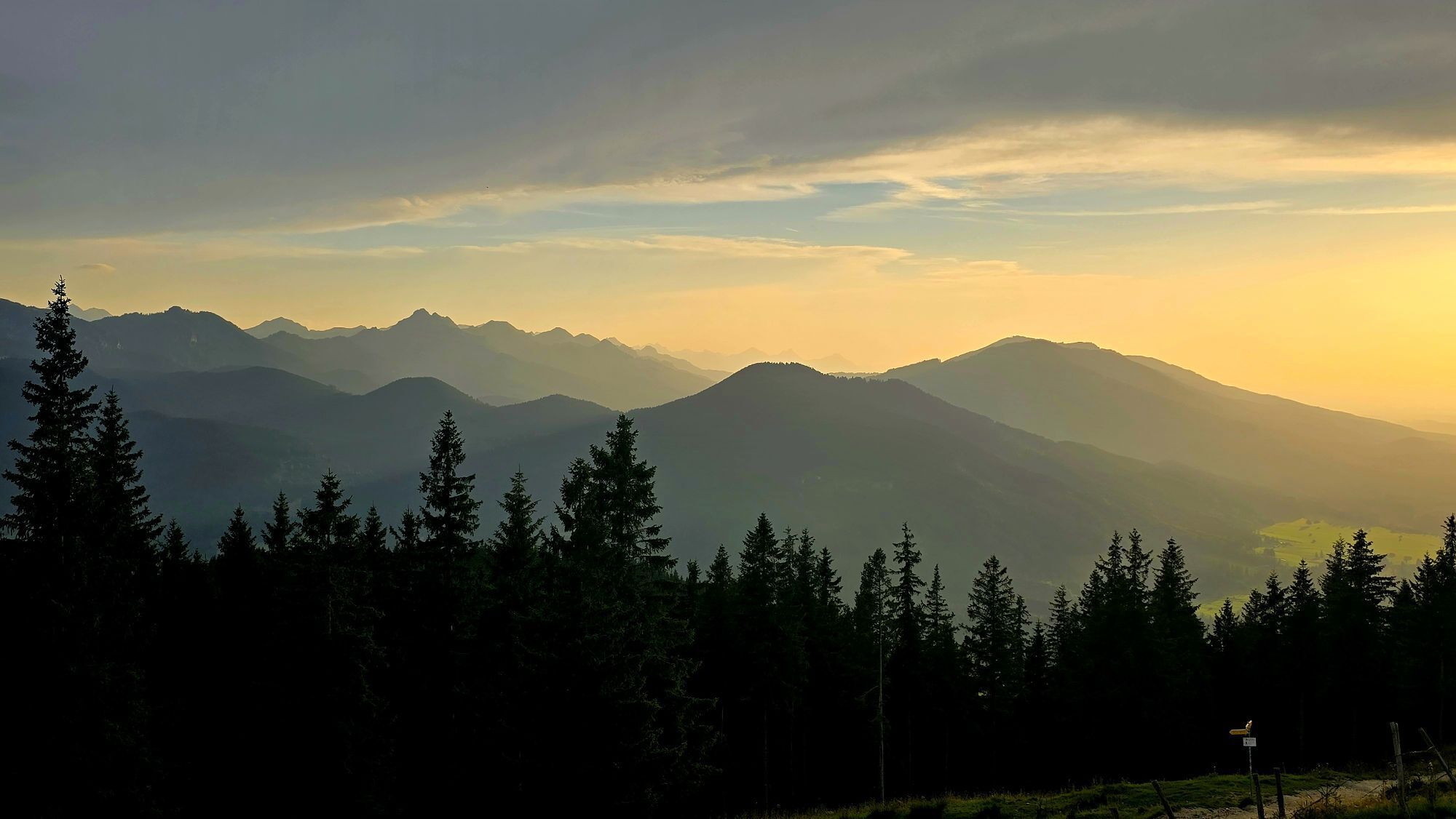
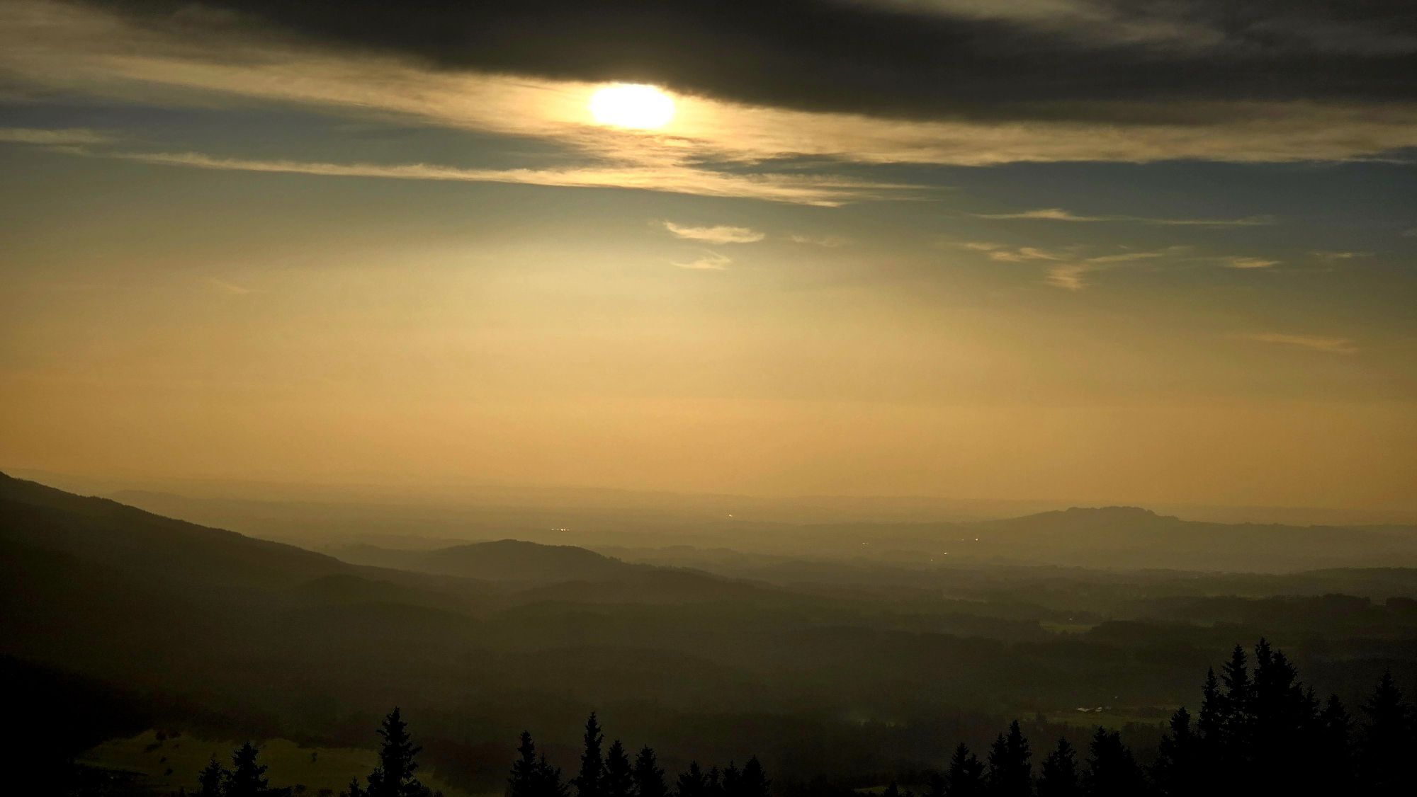
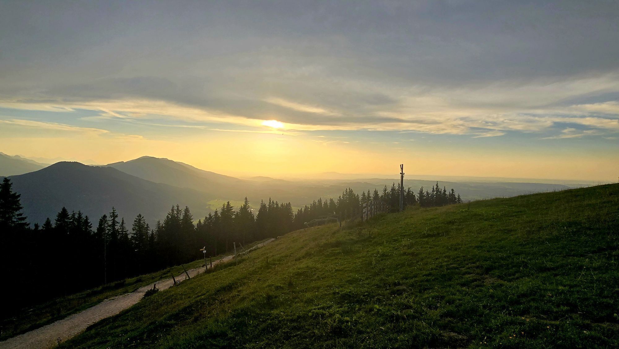
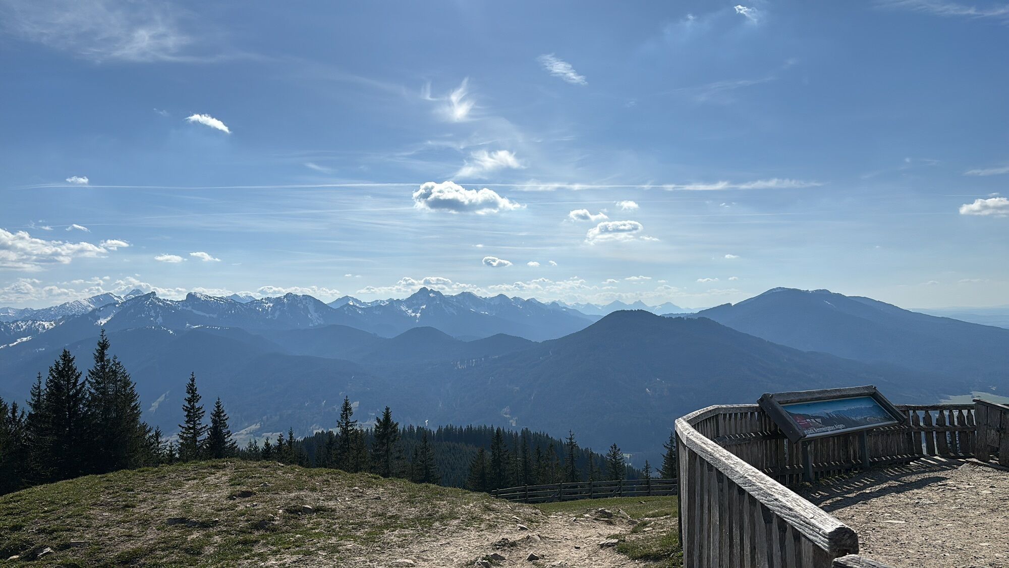
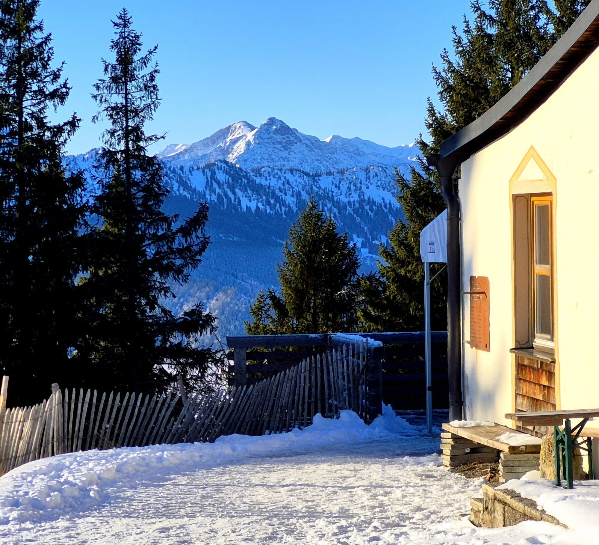
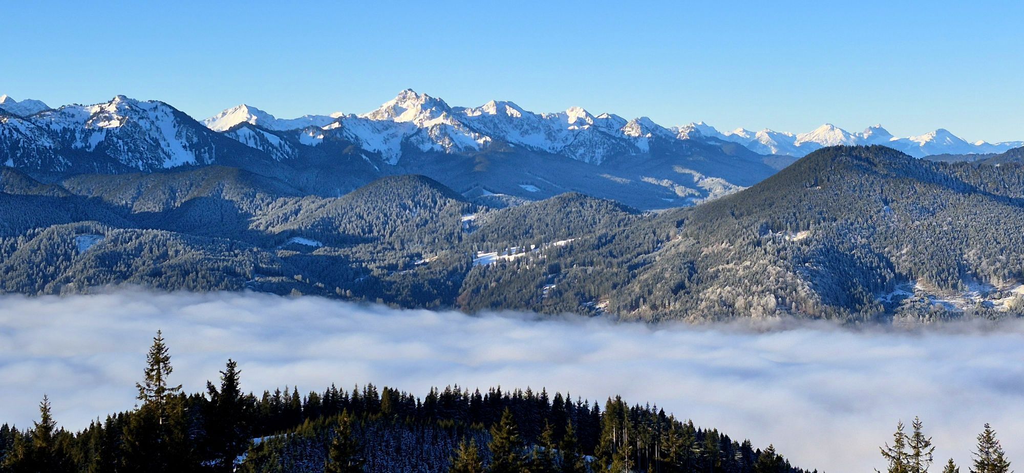
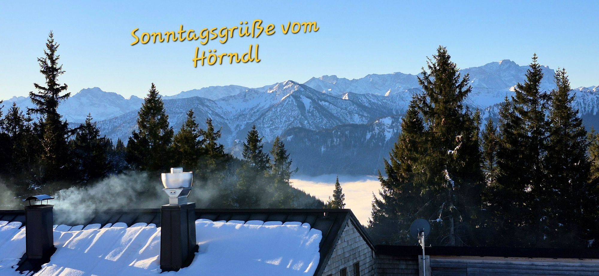


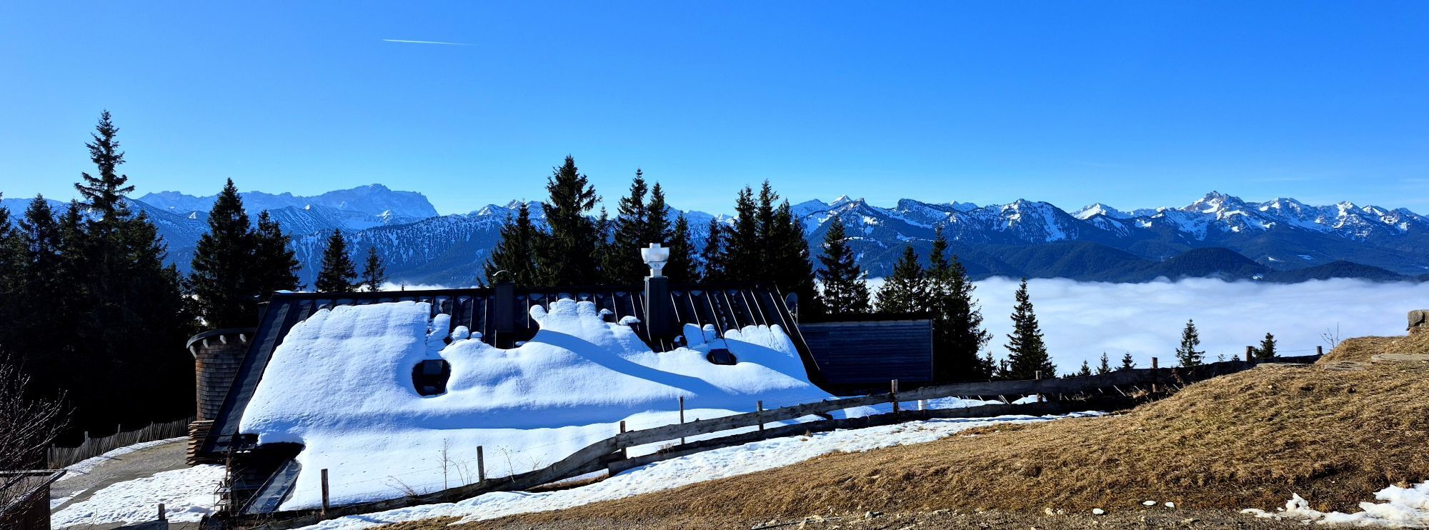
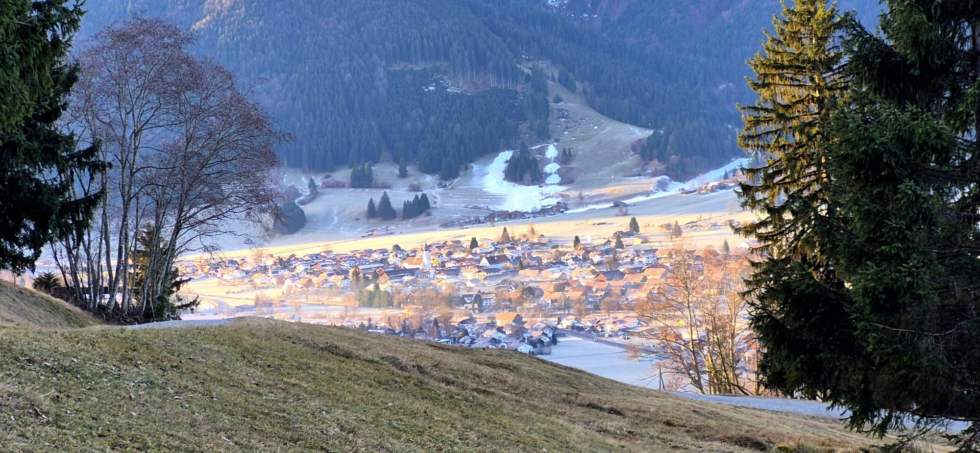
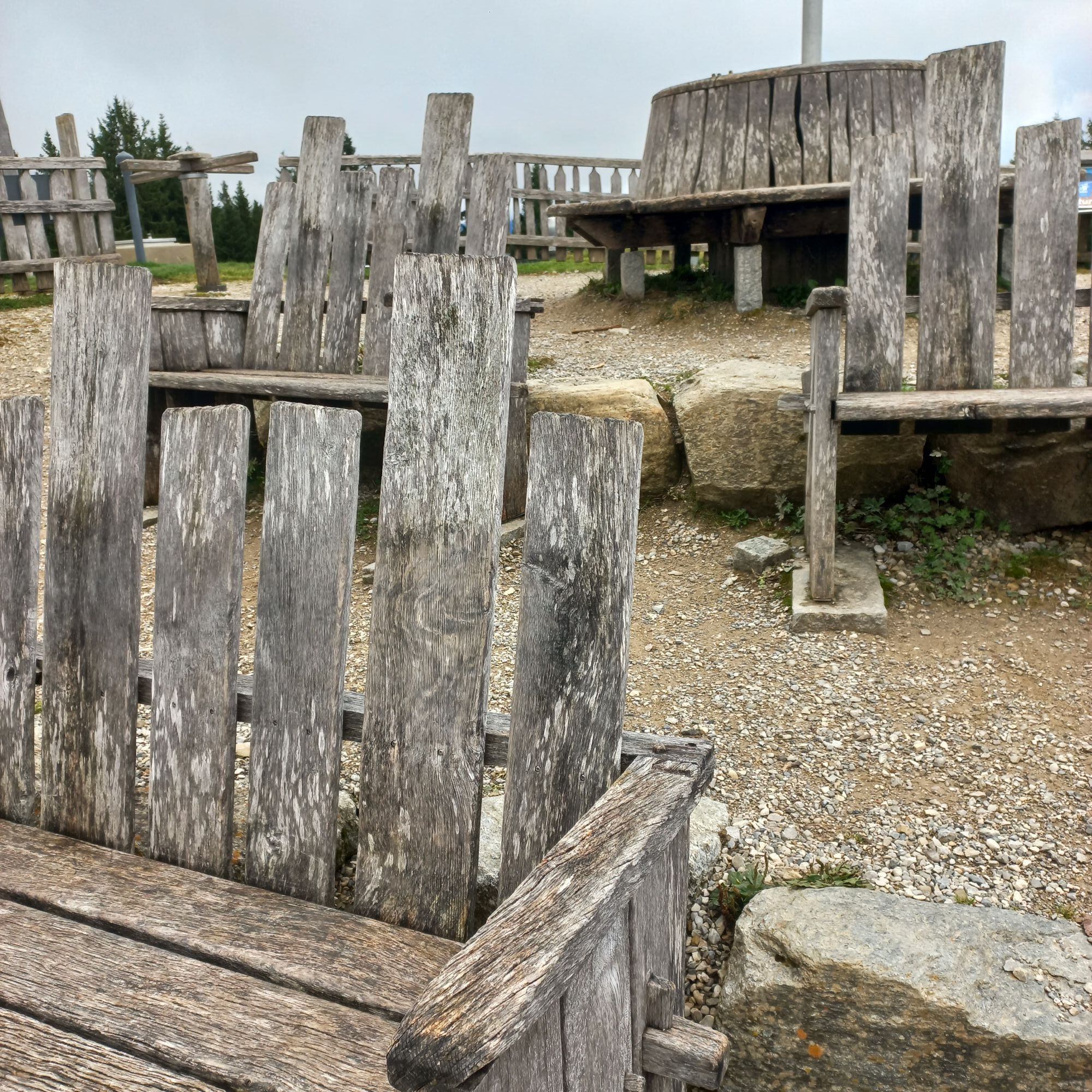

In the area of the three Hörnle summits, the previously unnamed elevation was officially named "Zeitberg" at the end of 2012. A simultaneously developed educational trail provides information at various...
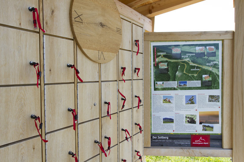
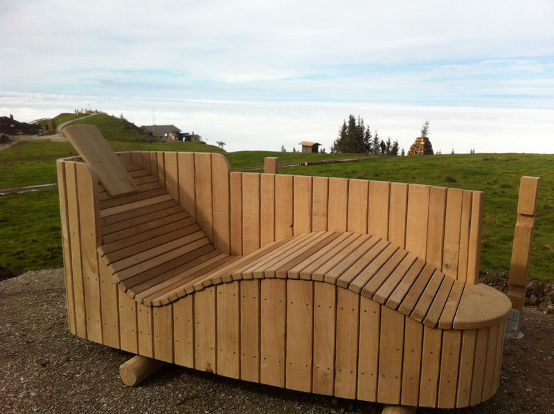
In the area of the three Hörnle summits, the previously unnamed elevation was officially named "Zeitberg" at the end of 2012. A simultaneously developed educational trail provides information at various stations about the topics Prehistoric times (formation of the Alps), Breeding season (Alpine birds), Grazing period (agriculture in the Alps), and Generational time (time for development of animals in the mountain climate).
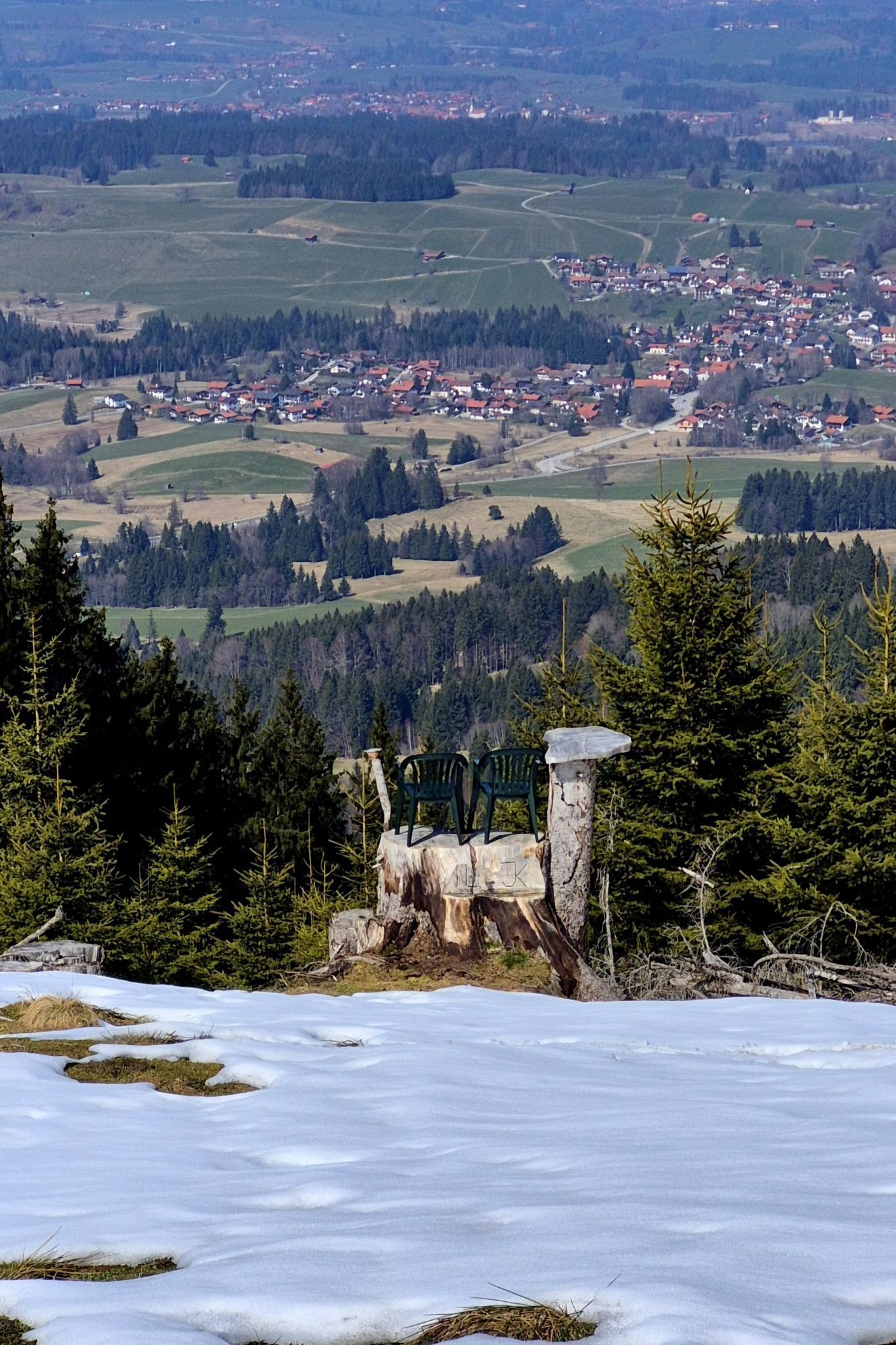
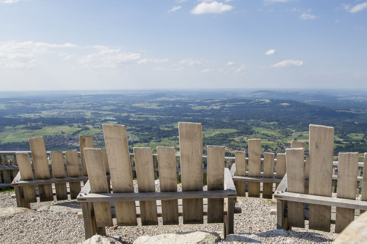
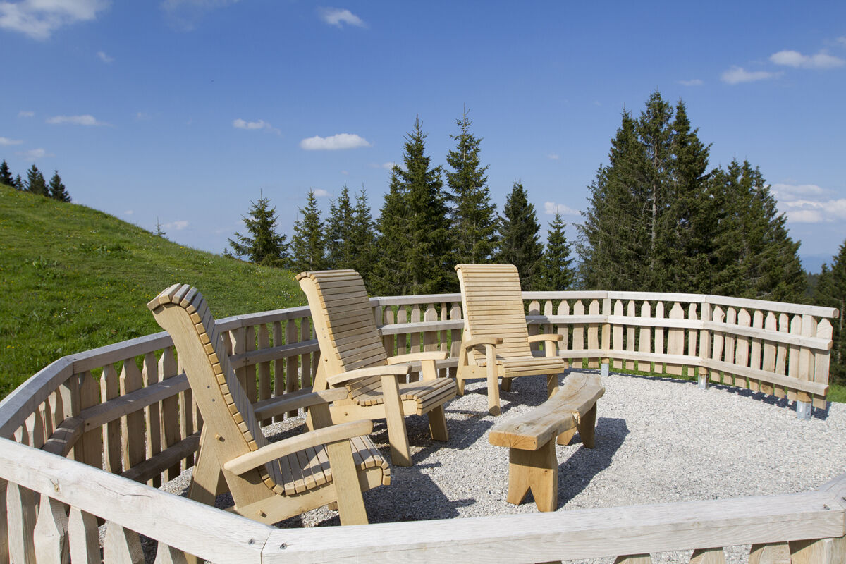
All stations also offer the possibility to relax. For this purpose, a 3D nature cinema, sunning loungers in the form of moor tubs, reading armchairs, game tables and even massage loungers have been set up up here.
Further information about the Zeitberg is available in the info flyer at the valley and mountain stations of the Hörnle cable car or on the internet.
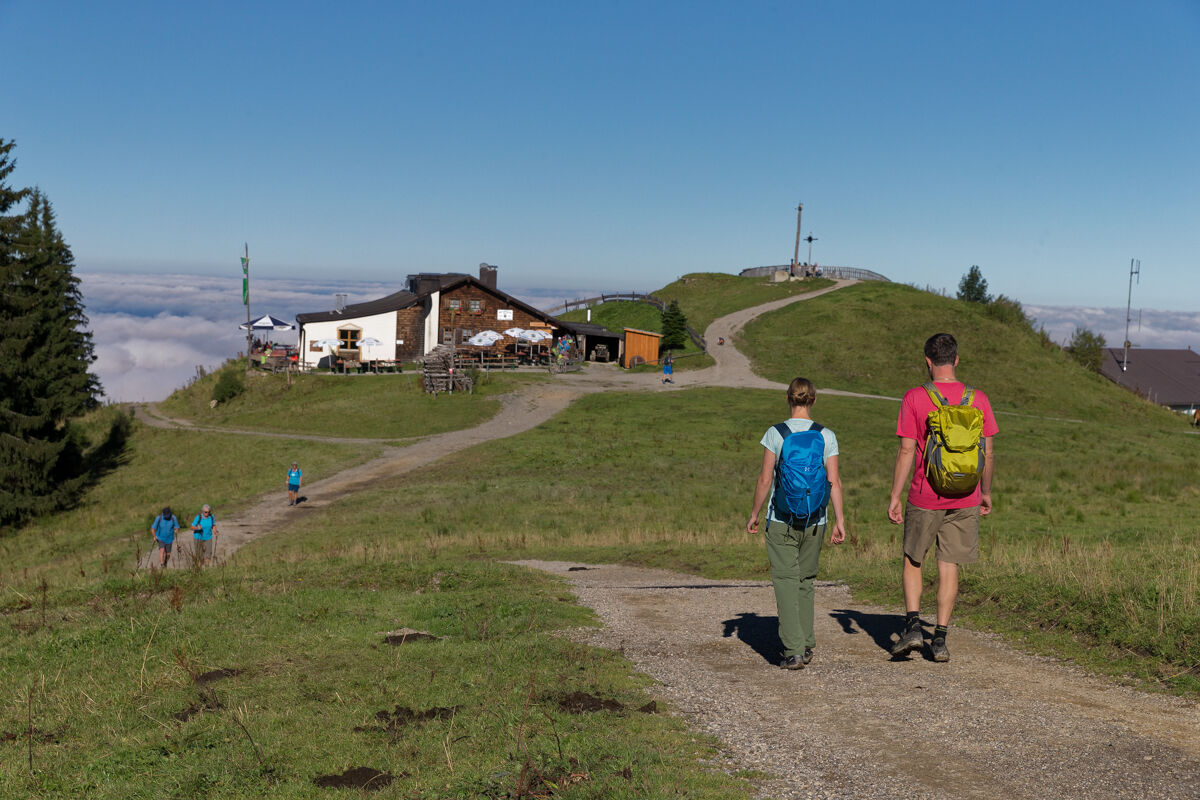
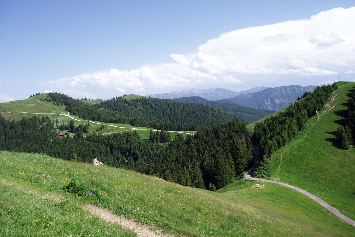
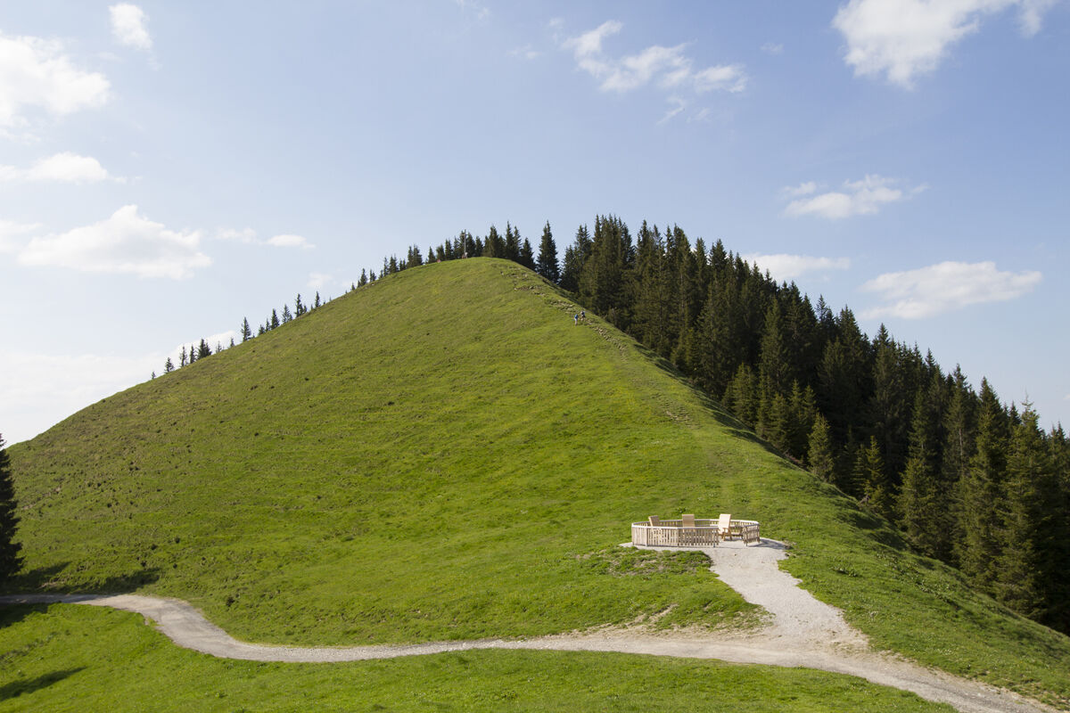

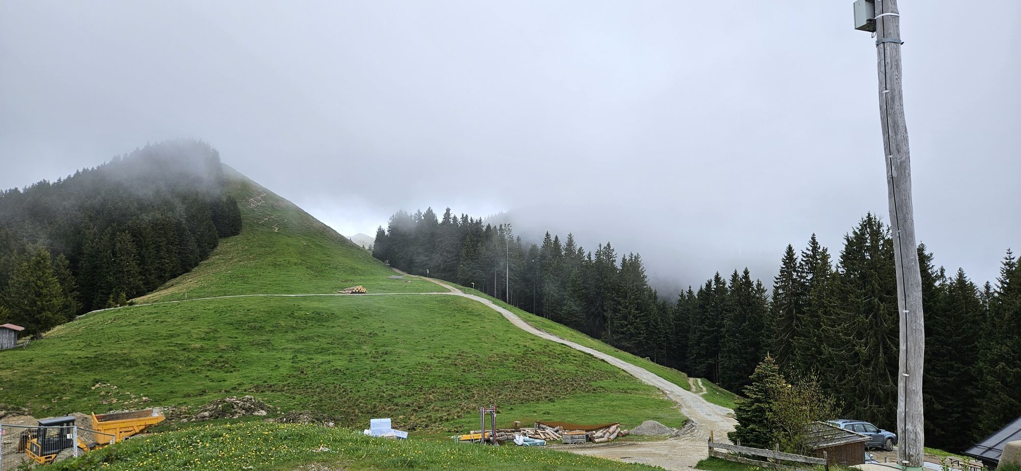
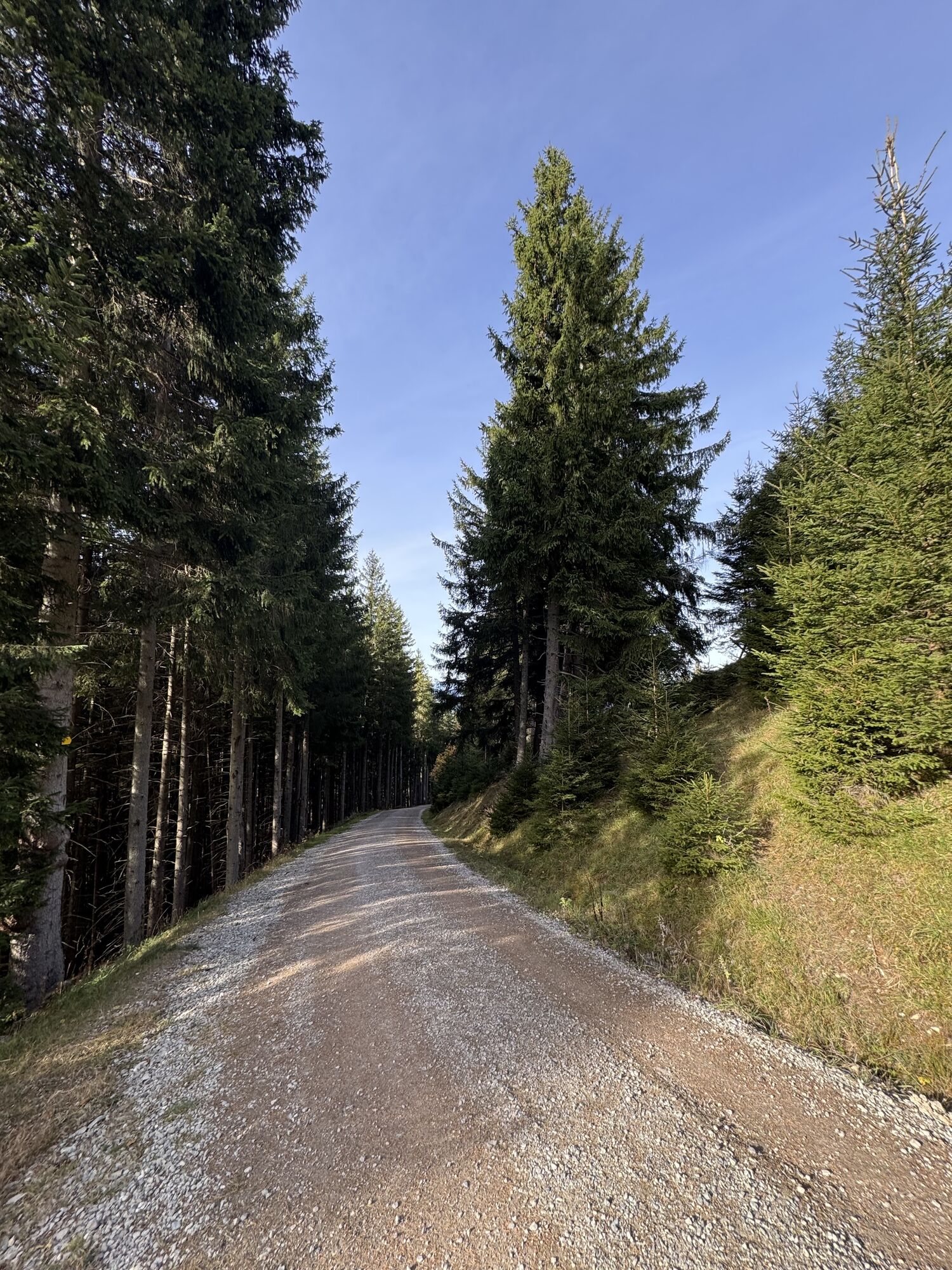
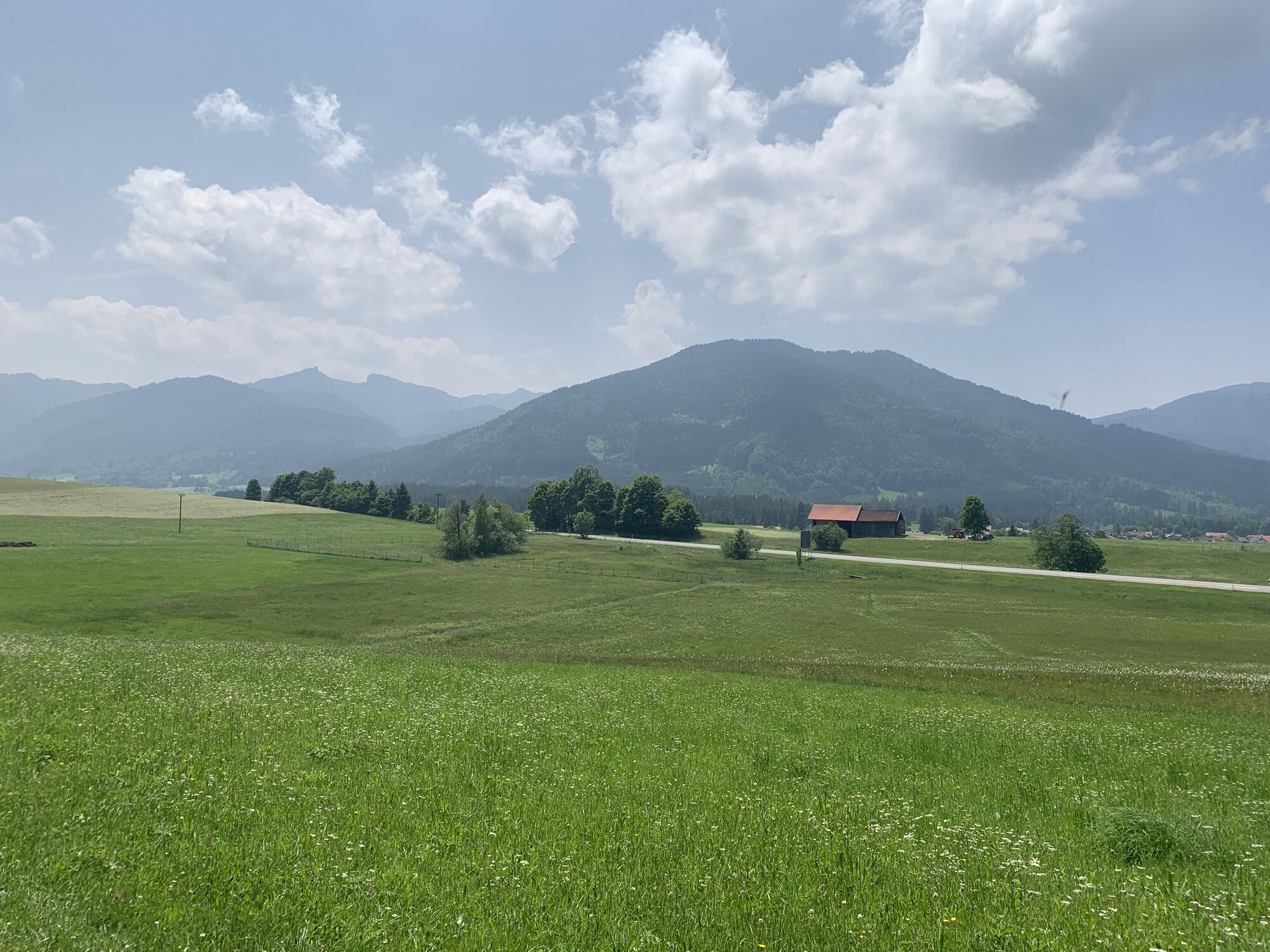
From the starting point, first follow the hiking trail signs heading south. Soon you will reach a junction where several hiking trails separate. Here begins the ascent to the Hörnle and the Zeitberg.
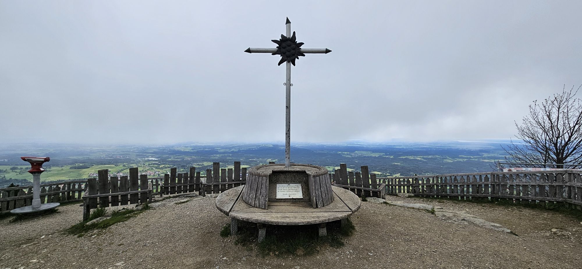
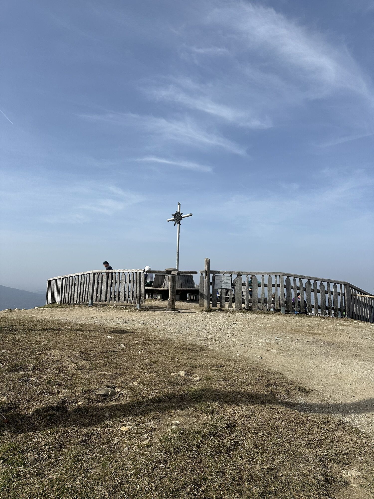
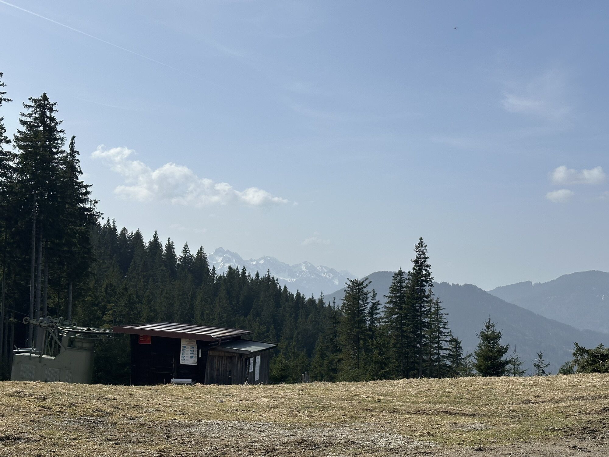
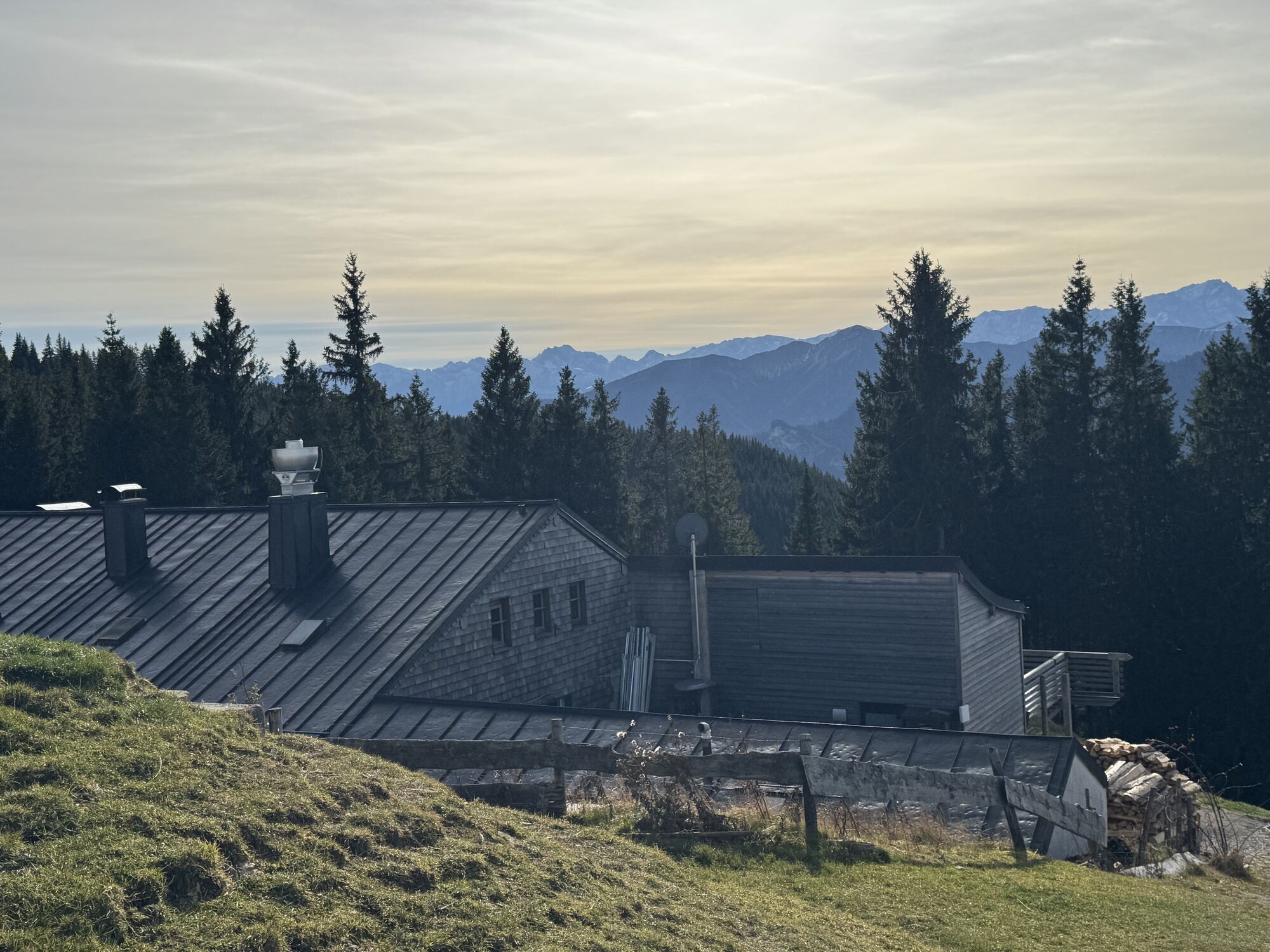
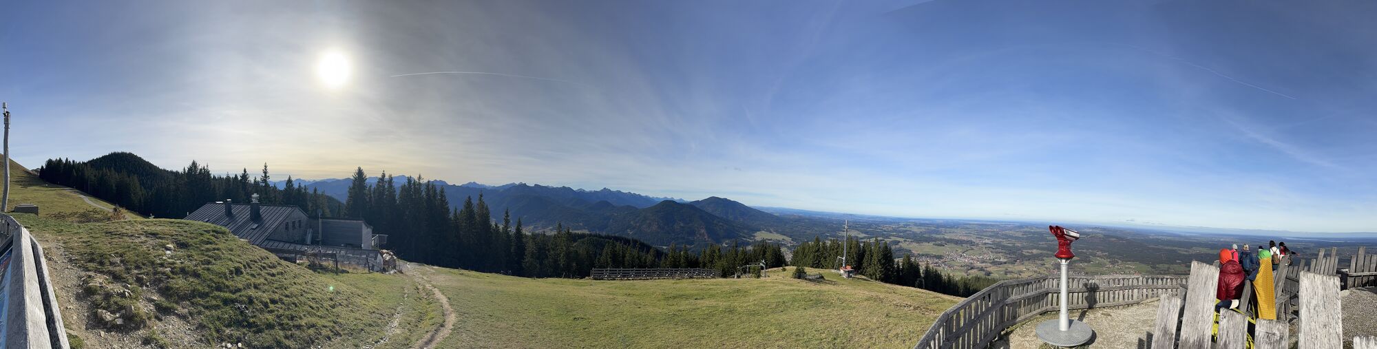
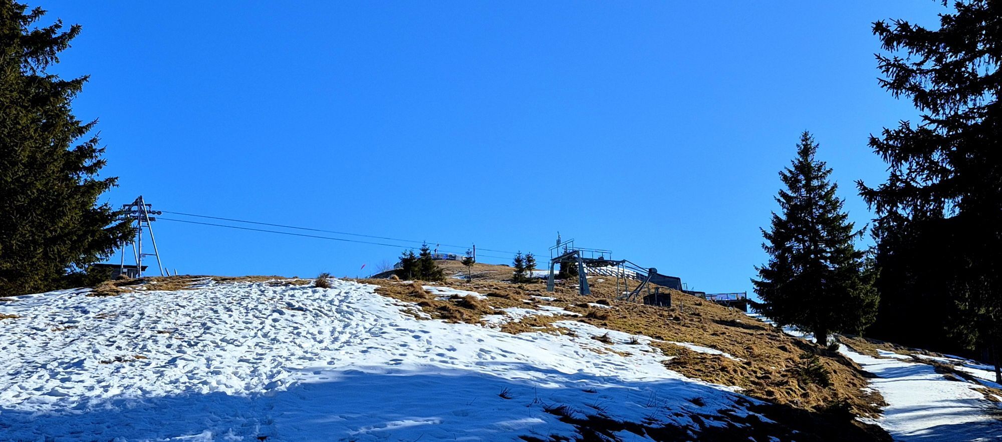
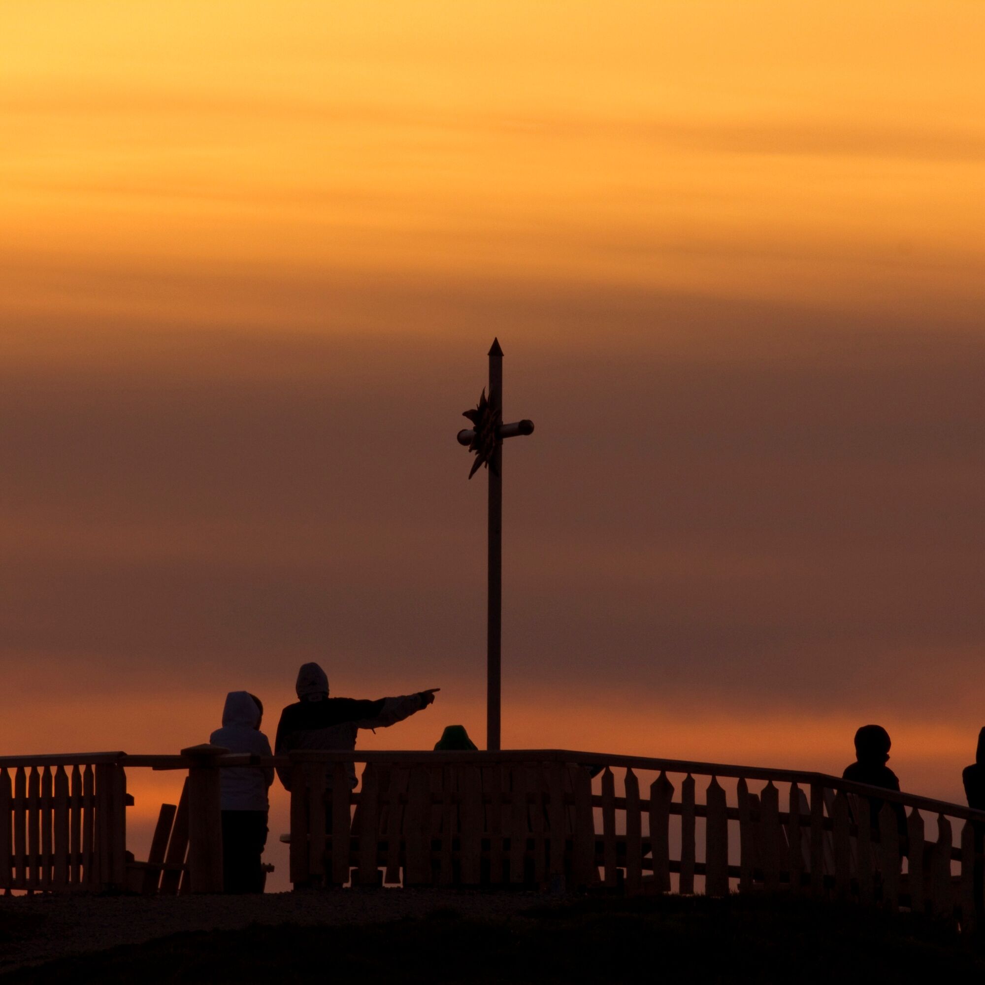
Behind the mountain station of the cable car, the circular trail starts at the summit cross of the Zeitberg. Here you will also find the Hörnle Hut.
Alternatively, you can also comfortably ride up with the Hörnle cable car from Bad Kohlgrub.
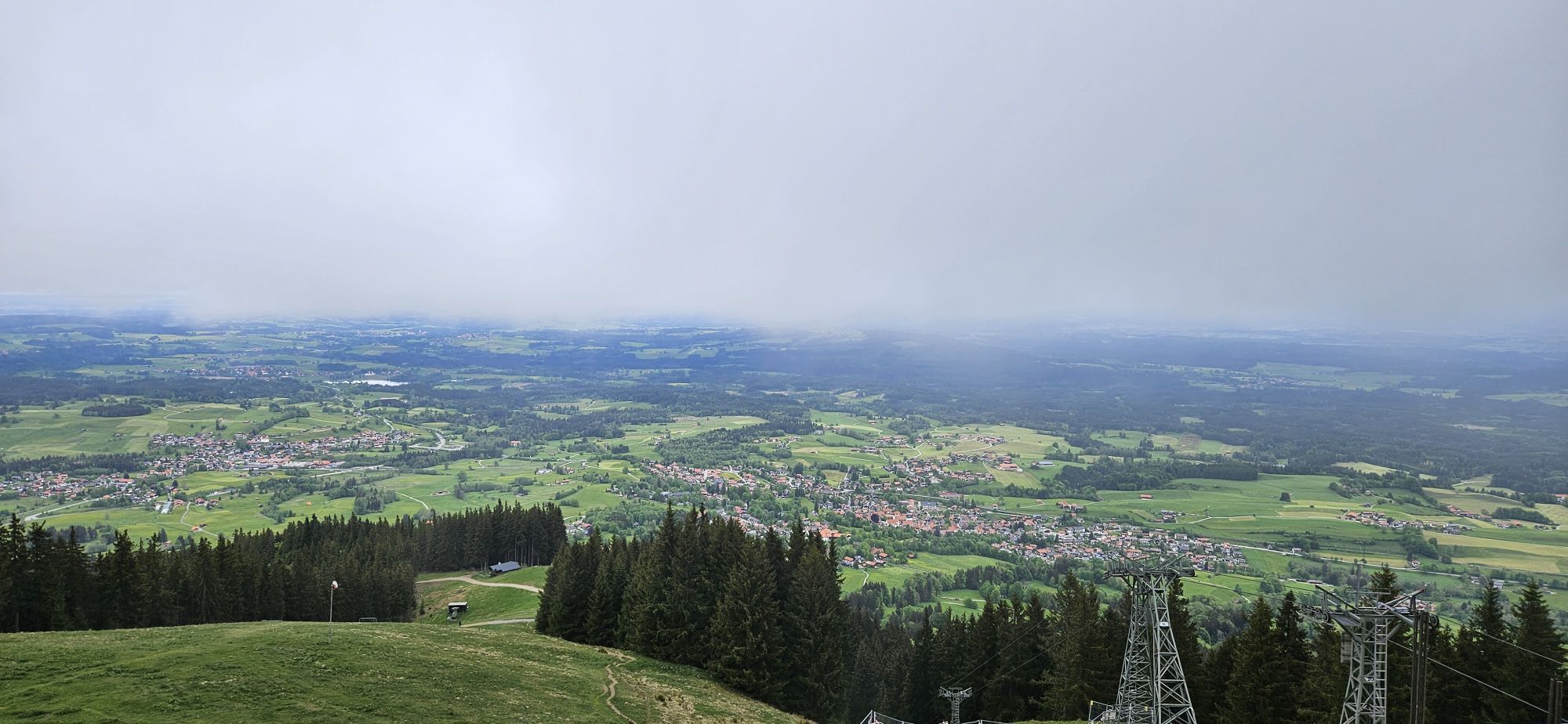
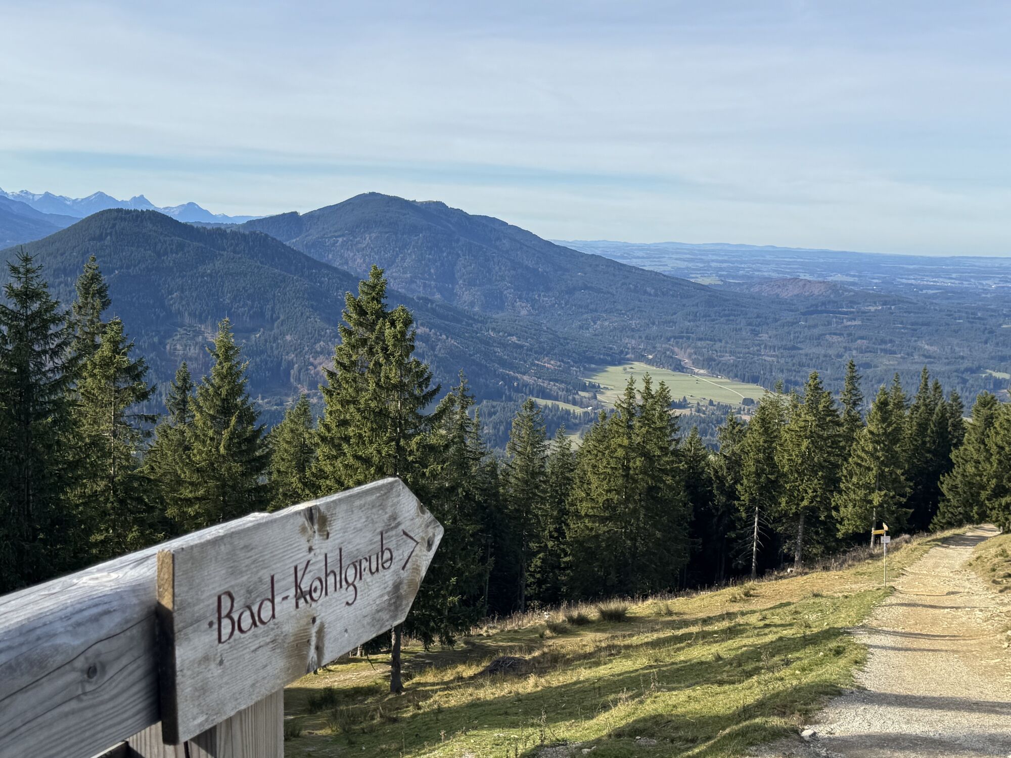
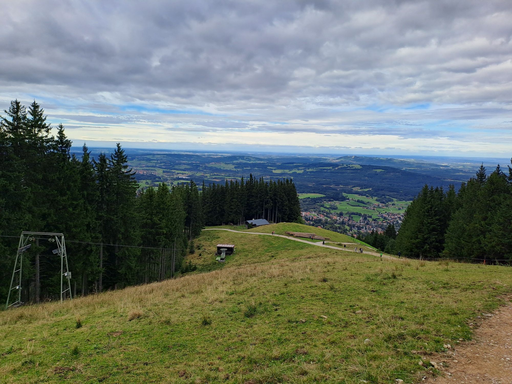
The descent leads towards Bad Kohlgrub. Follow the hiking signs to Sonnen and then to Kraggenau until you reach the starting point in Wurmansau.
Our recommendation:
Never get lost again - we recommend the free "Zugspitz Region" app, among other things with GPX tracks for all routes in the region
Ano
Ano
Welcome to the Nature Park Teststubn! Here you can extensively test hiking poles, day backpacks, child carriers, and crampons from well-known manufacturers before you decide to buy. Let our team advise you to experience the best possible outdoor adventure. Our Nature Park Teststubn can be found at the tourist information offices in Bad Bayersoien and Bad Kohlgrub as well as at the Drahtesel Rental Lukas Spindler in Oberammergau.
More information: www.ammergauer-alpen.de/teststubn
In an emergency, please contact the nearest rescue control center. Regardless of location, you can reach it nationwide in Germany at the phone number 112.
A95, via Murnau (St2062) to Bad Kohlgrub
Train stop: Kurhaus Bad Kohlgrub
Murnau - Bad Kohlgrub - Oberammergau
Guests of the Ammergau Alps region travel free on bus and train with the electronic guest card or the KönigsCard
e-car sharing in the Nature Park Ammergau Alps
Parking lot Tannenbankerllift, Bad Kohlgrub
In winter, you can toboggan back down to the valley.
 Získejte přehled
Vždy živě na místě s více než 9 500 webkamerami. bergfex Jako uživatel Pro si nyní můžete zobrazit odpovídající webové kamery pro mnoho prohlídek v aplikaci prohlídky z. Můžete si tak přímo prohlédnout aktuální podmínky.
Získejte přehled
Vždy živě na místě s více než 9 500 webkamerami. bergfex Jako uživatel Pro si nyní můžete zobrazit odpovídající webové kamery pro mnoho prohlídek v aplikaci prohlídky z. Můžete si tak přímo prohlédnout aktuální podmínky.
Oblíbené prohlídky v okolí
-
4.4
Kuhfluchtwasserfälle
středníTuristika 1.32 km -
4.5
Mountain route - Teufelstättkopf
středníTuristika 10.8 km -
4.7
Mountain route - Laber via Soilasee
světloTuristika 11.8 km -
4.8
Schafkopf
světloTuristika 10.2 km -
4.7
Murnauer Moos
světloTuristika 11.5 km -
4.6
Laber - Ettaler Mandl
světloTuristika 9.10 km -
4.1
Mountain tour - Kofel
středníTuristika 11.3 km -
4.6
Osterfeuerkopf
středníHorská turistika 6.40 km -
4.0
Hut hike - Hörnle Hut
světloTuristika 6.20 km -
4.5
Notkarspitze
středníTuristika 10.2 km
Pěší turistika a stopování


Nenechte si ujít nabídky a inspiraci pro vaši příští dovolenou
Vaše e-mailová adresa byl přidán do poštovního seznamu.





