


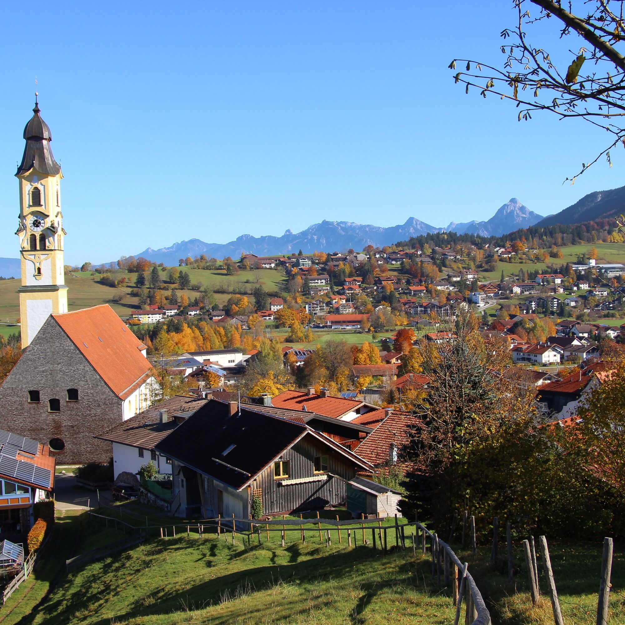
Pfronten district hike
Fotografie našich uživatelů
-
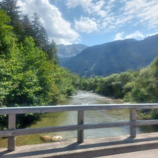
 © Anna AndrzejewskaVytvořeno dne 28.08.2025
 -
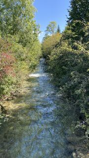
 © Anna AndrzejewskaVytvořeno dne 25.08.2025
 -

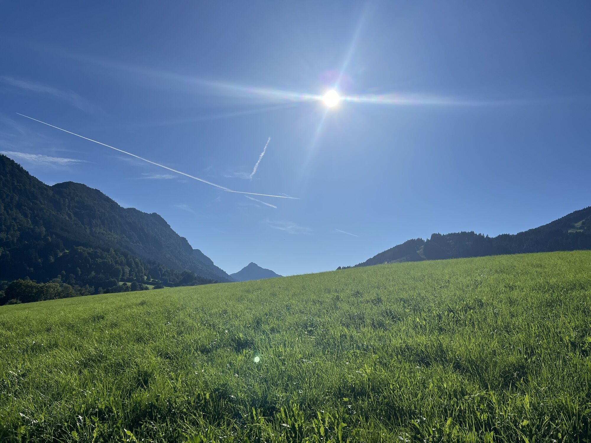
 © Artur 84Vytvořeno dne 31.05.2025
 -
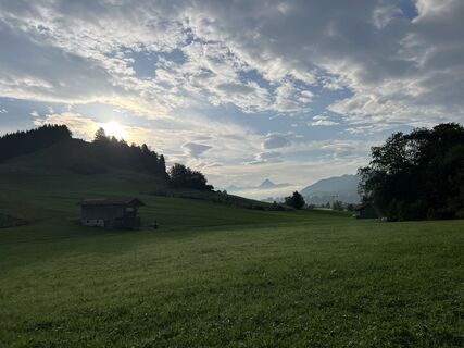
 © Michael Schröder-TimmVytvořeno dne 20.09.2024
 -
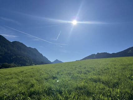
 © Michael Schröder-TimmVytvořeno dne 20.09.2024
 -
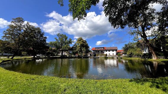
 © Michael Schröder-TimmVytvořeno dne 20.09.2024
 -
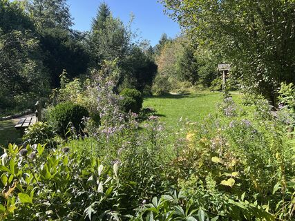 © Michael Schröder-TimmVytvořeno dne 20.09.2024
 -
 © Michael Schröder-TimmVytvořeno dne 20.09.2024
 -
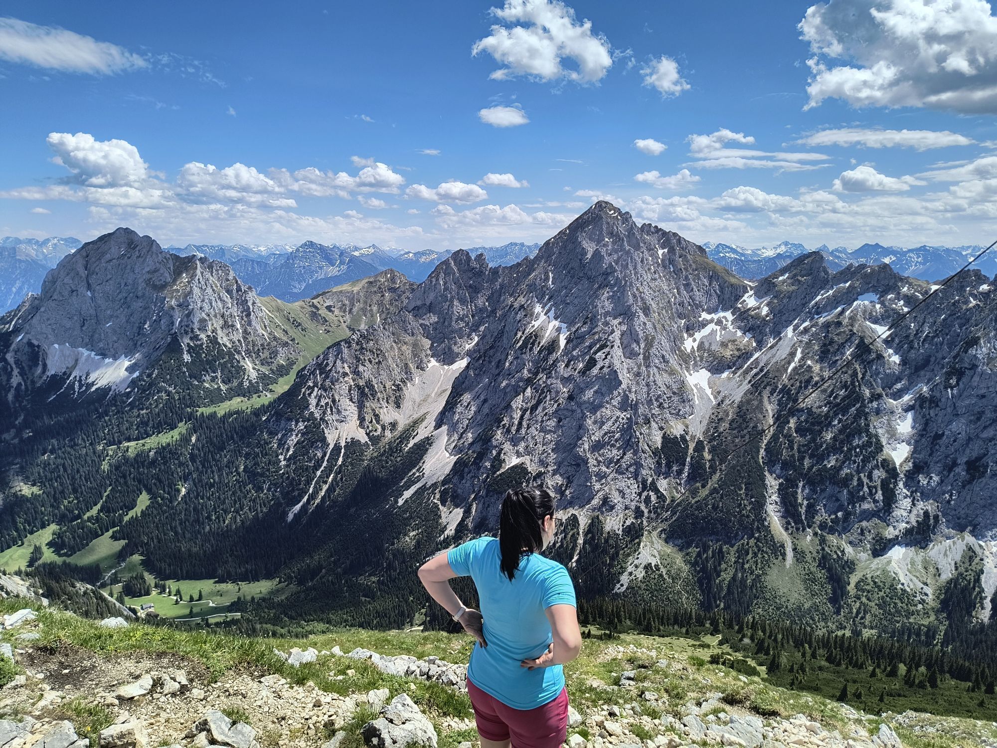
 © Anton GresserVytvořeno dne 07.08.2025


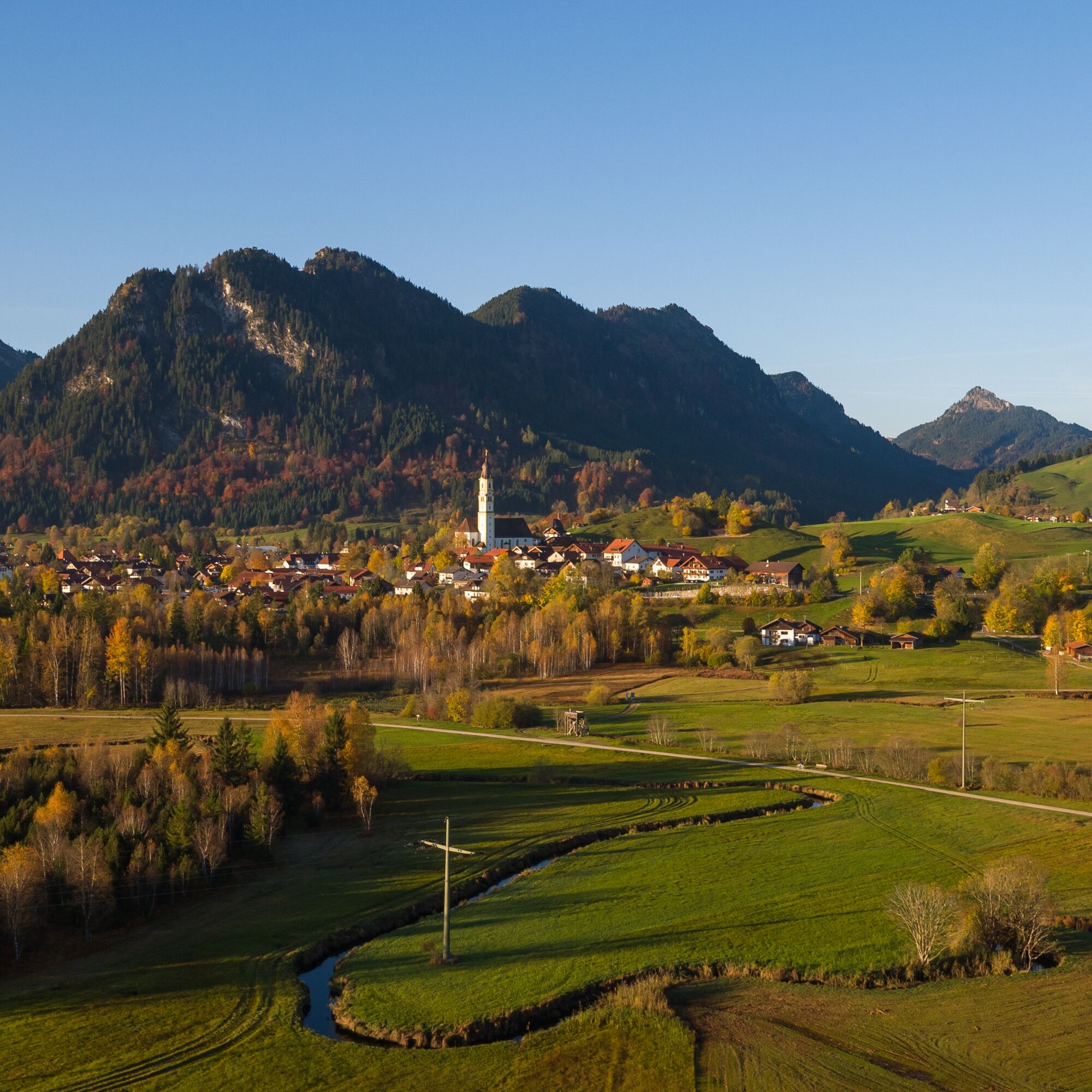
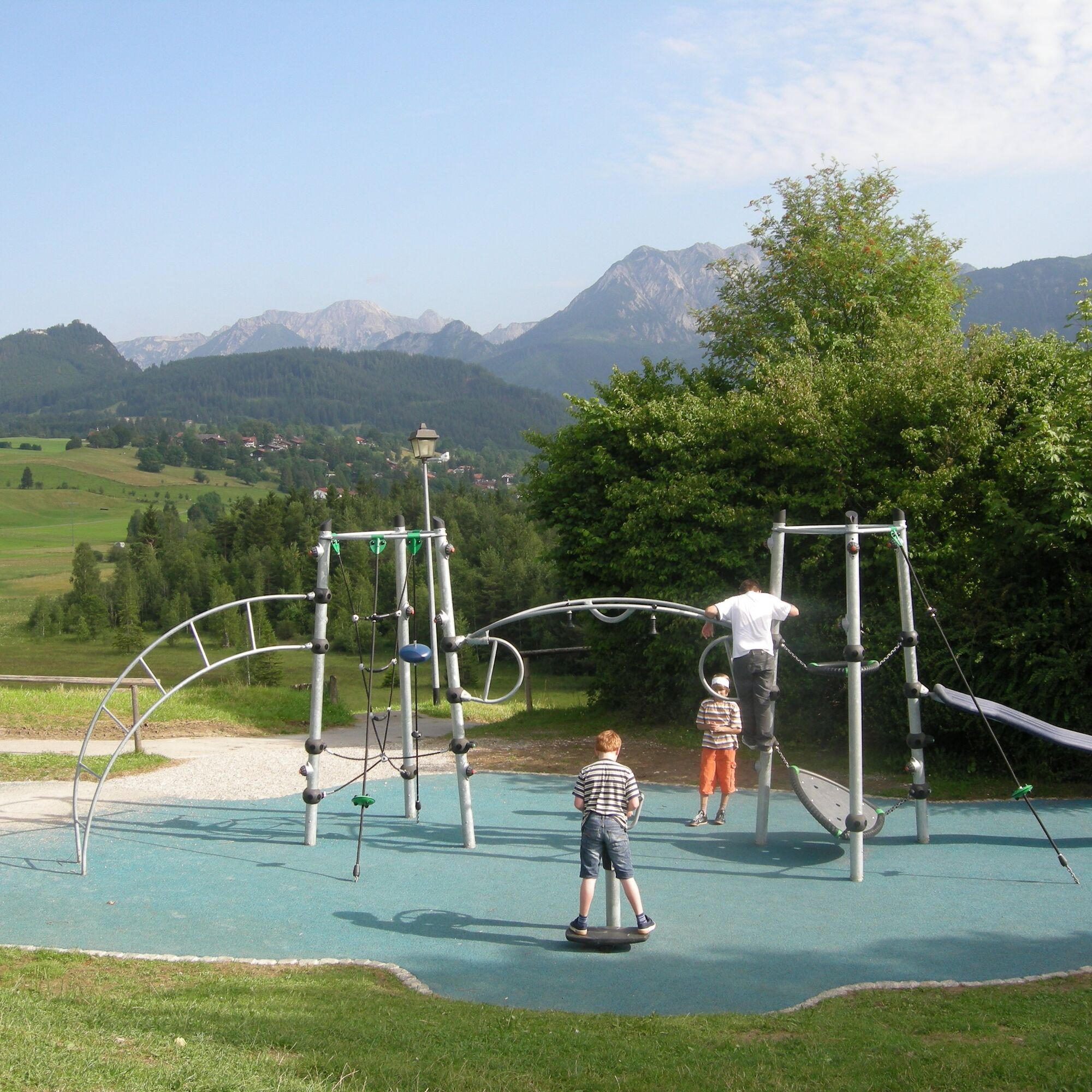
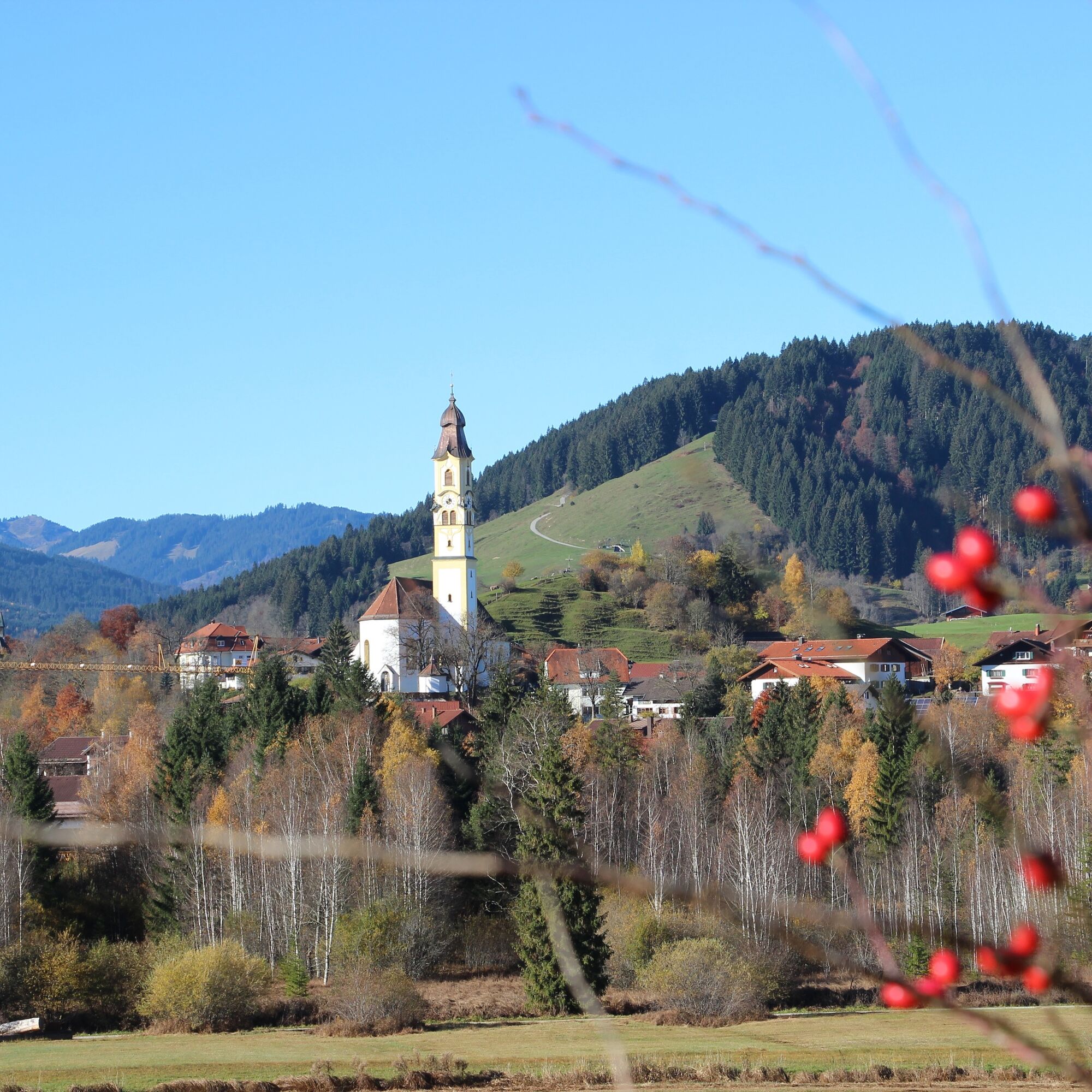
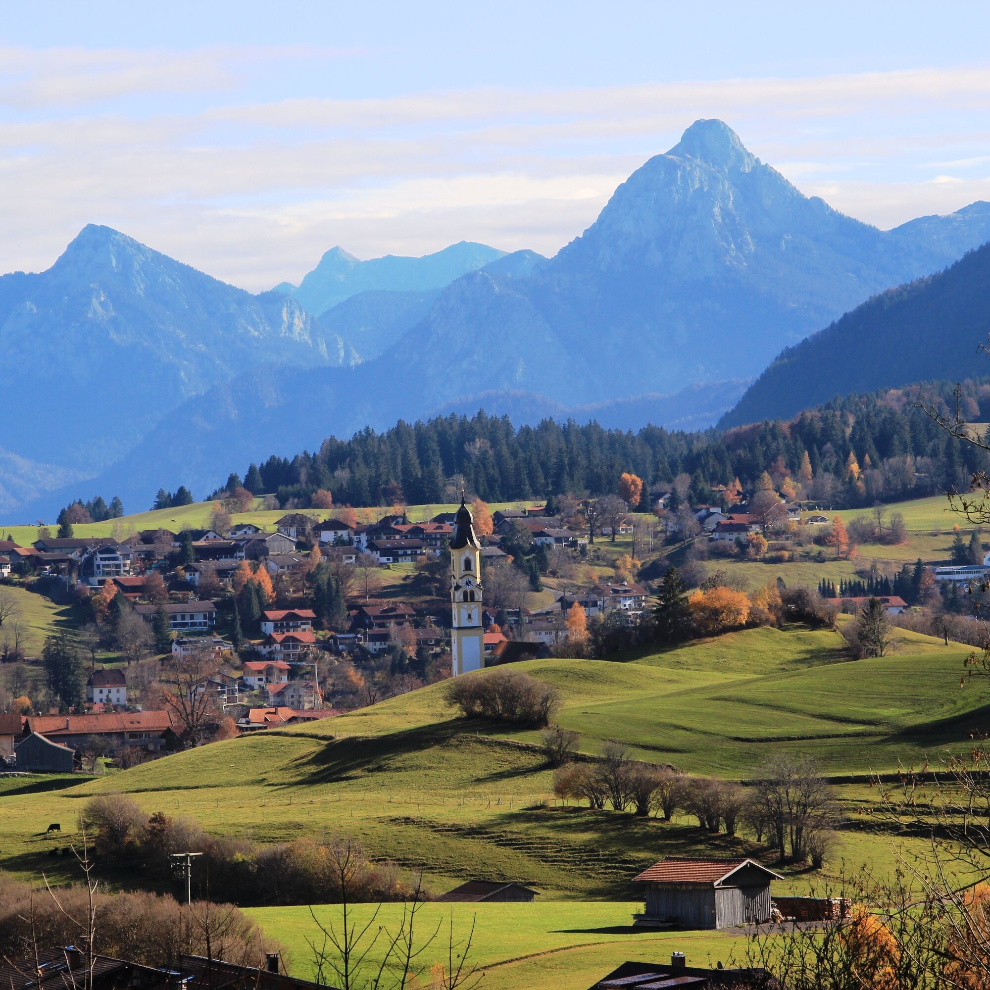
Hike through all of Pfronten. In this enjoyable valley hike you will discover the 13 districts and pass by numerous chapels, the Pfronten church of St. Nikolaus, the Bläsis Mühle, the Alpengarten, and...
Hike through all of Pfronten. In this enjoyable valley hike you will discover the 13 districts and pass by numerous chapels, the Pfronten church of St. Nikolaus, the Bläsis Mühle, the Alpengarten, and many other sightworthy stations. Along the way, you will find rest benches for pausing and can enjoy the best viewpoints in the Pfronten valley. The best part is that you can flexibly choose your start and end point of the route.

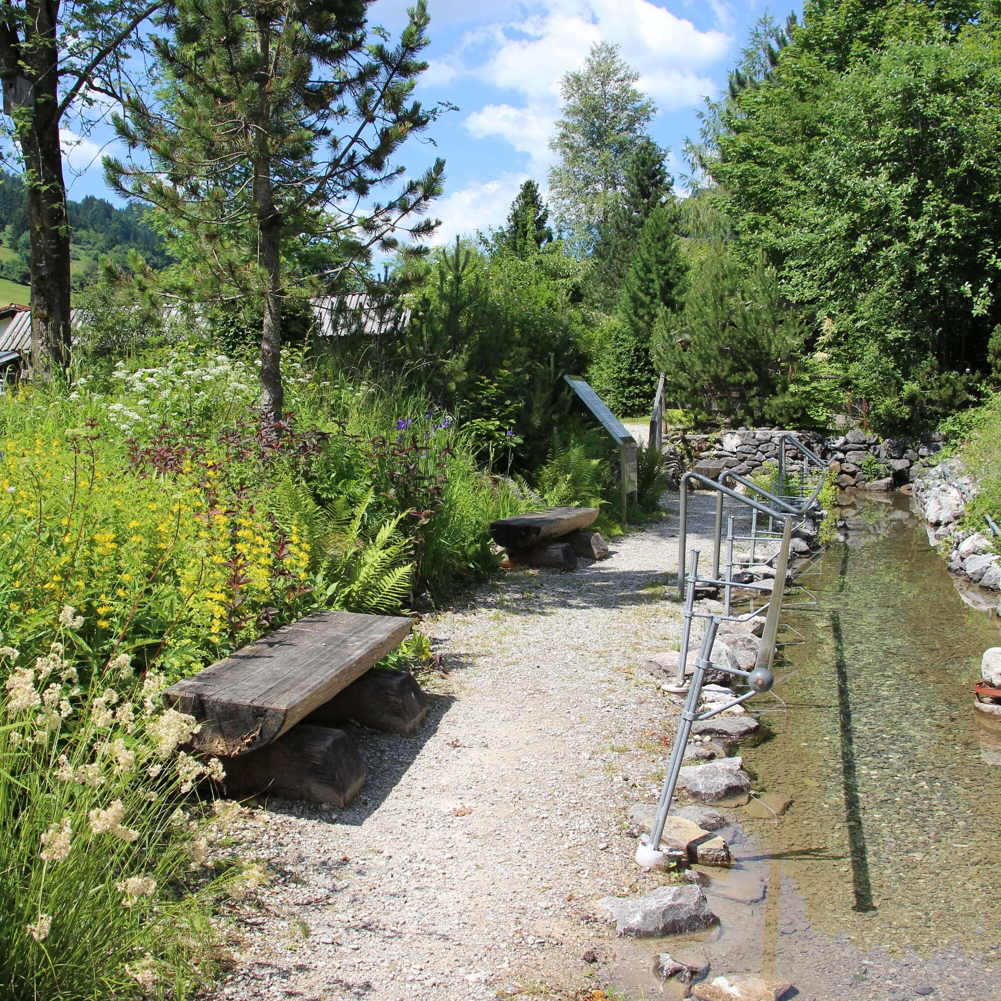
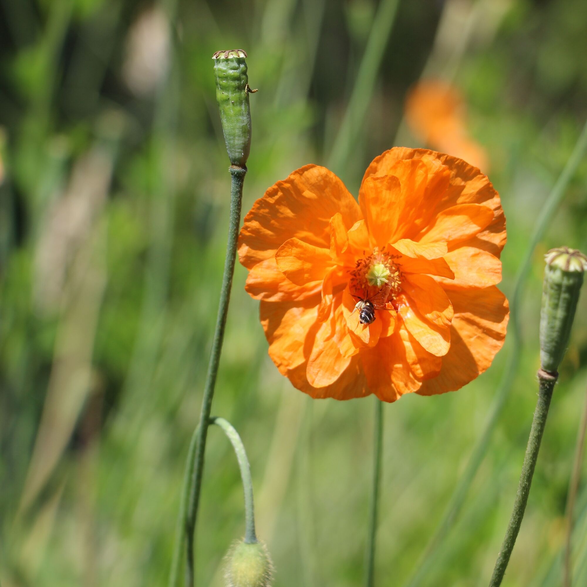
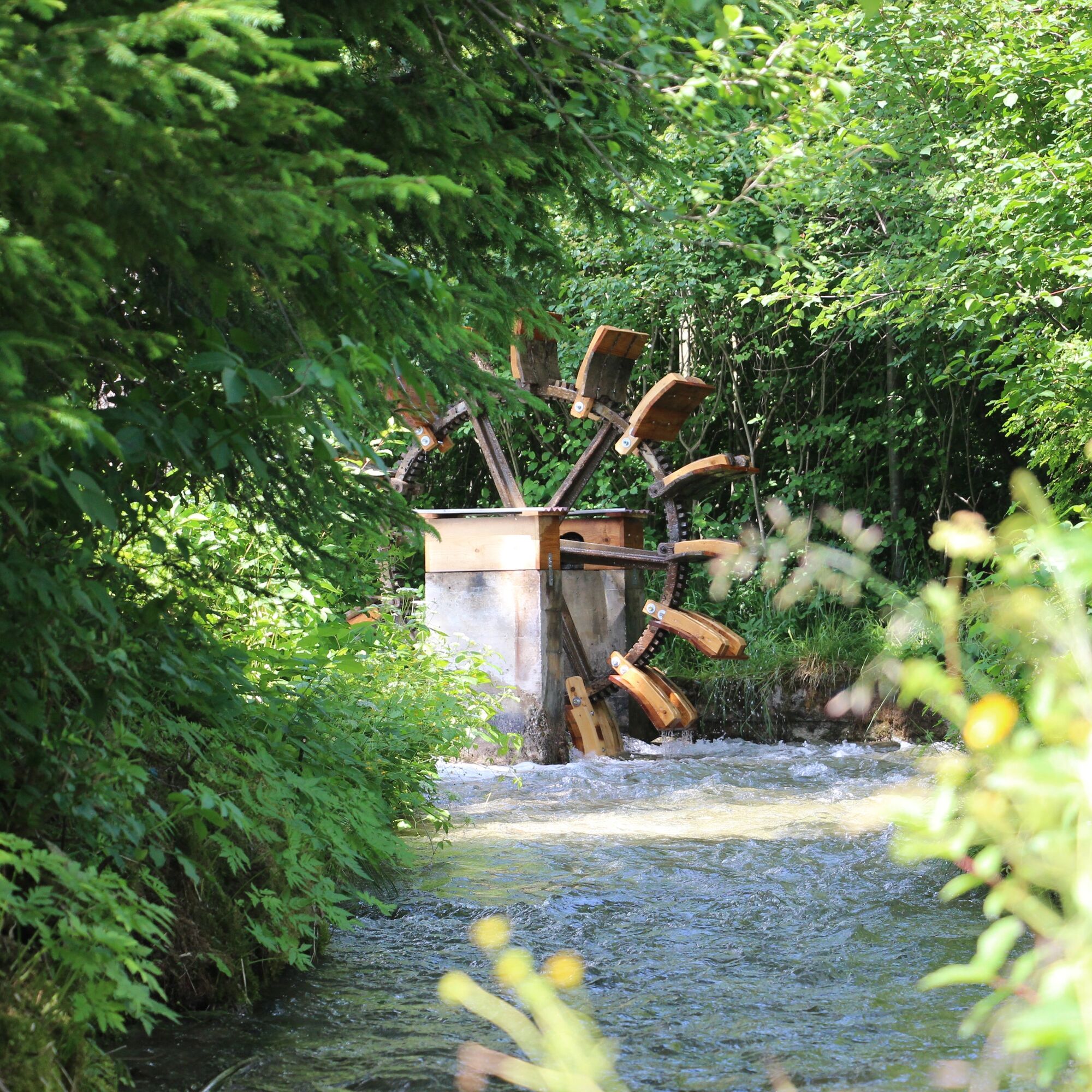
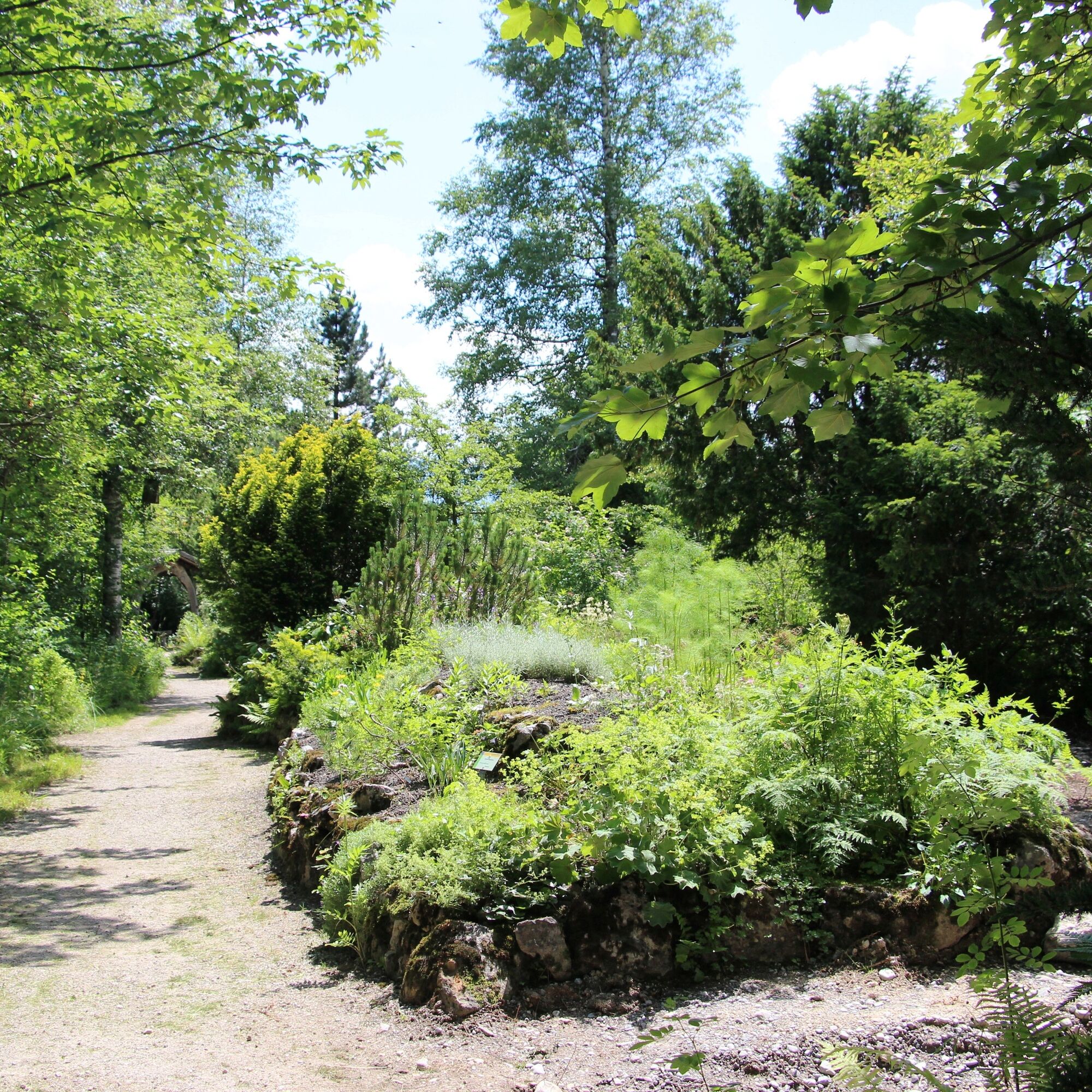
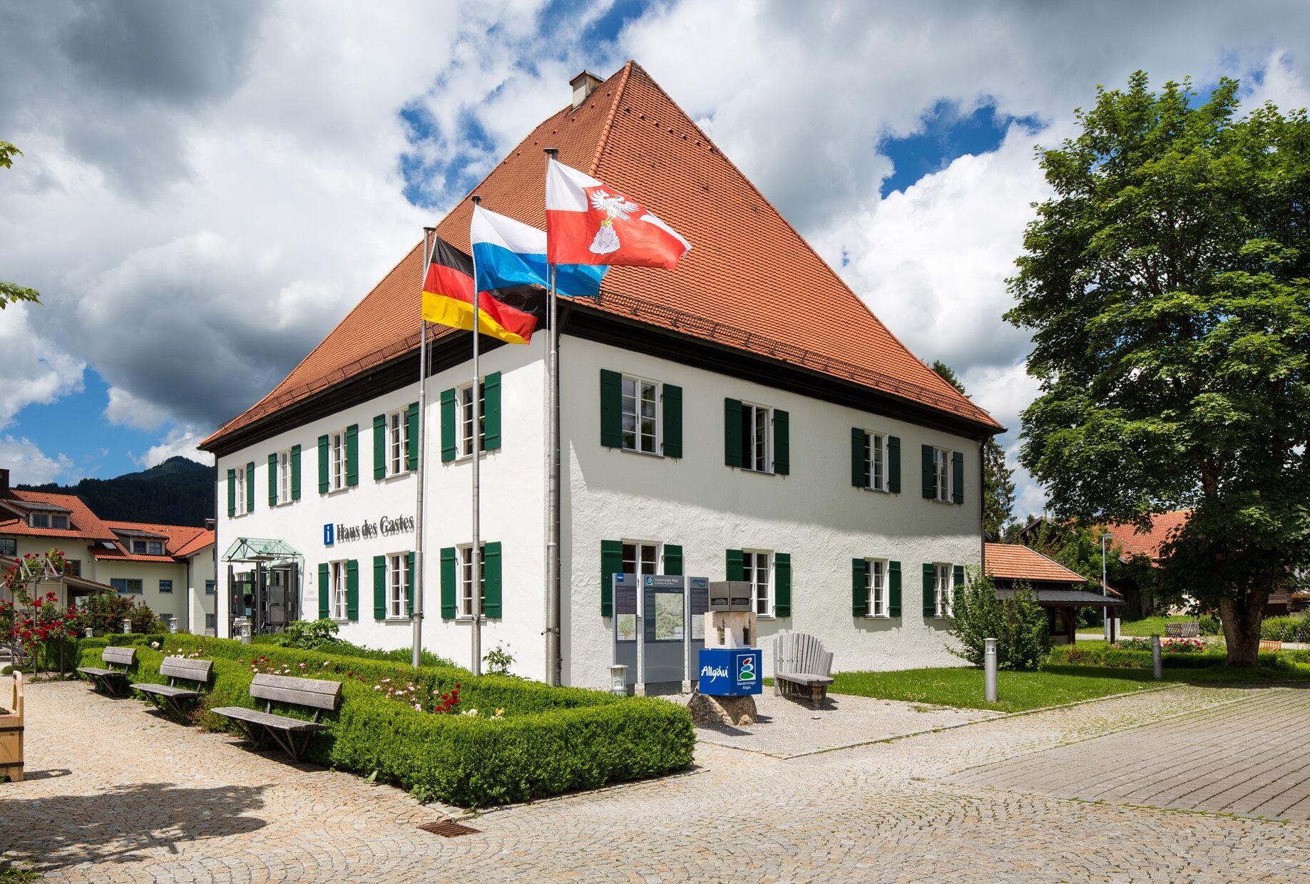
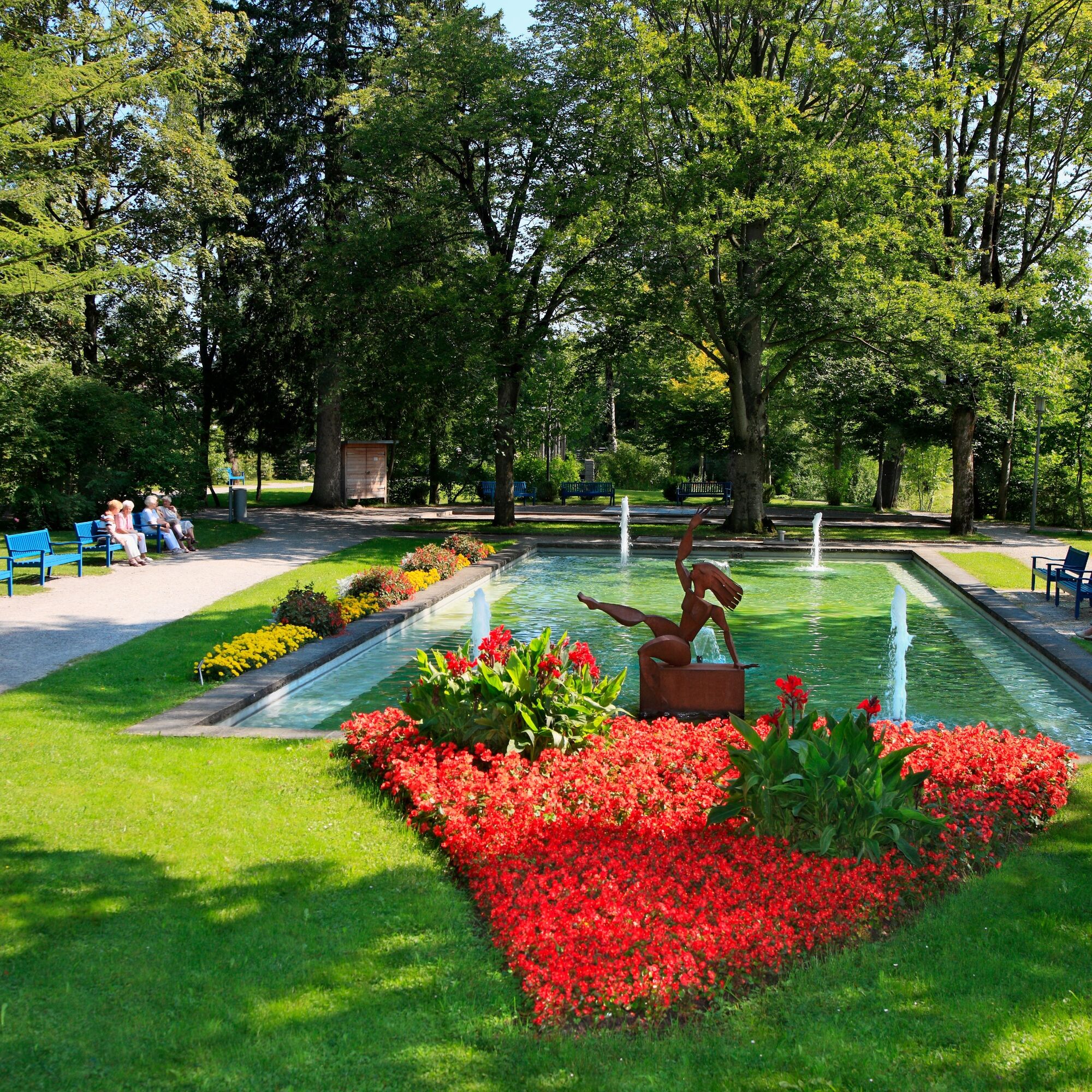
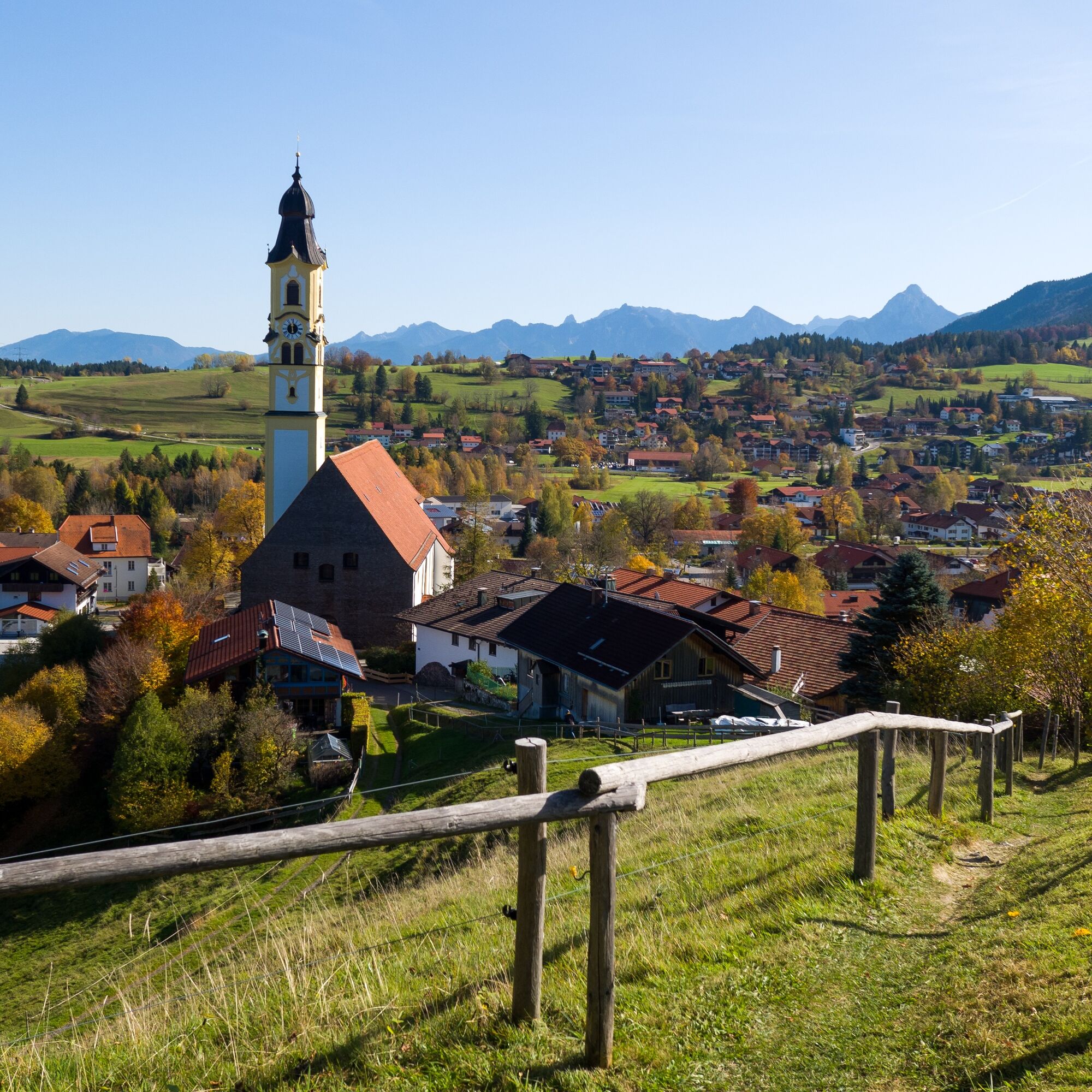
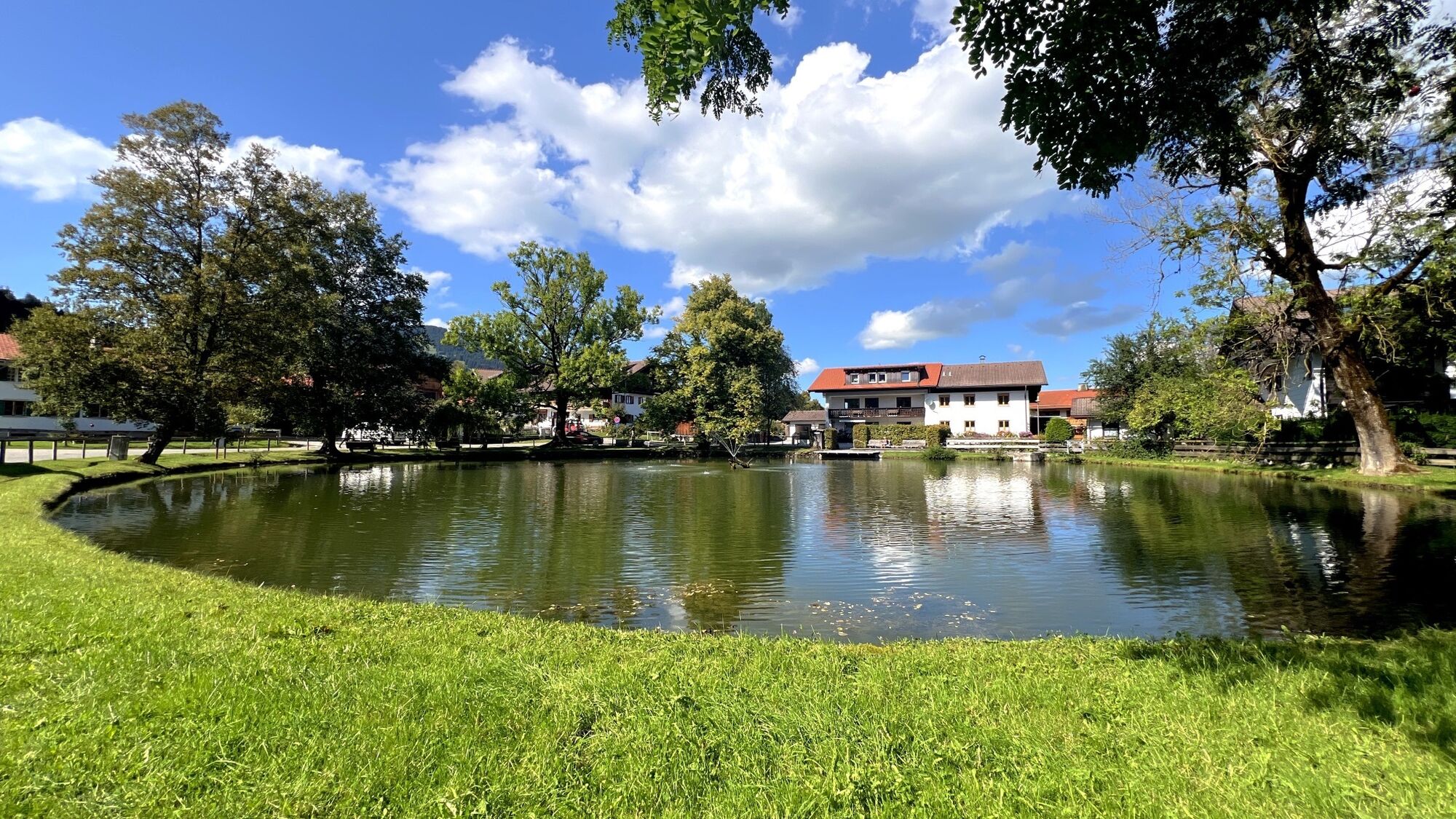
Starting from the Haus des Gastes, walk to the Bläsis Mühle and then continue along the Bläsesweg to the Dorfer Weiher. Follow the Kienbergstraße and then the Achtalstraße, turning left before the Achbrücke before following the "Dürren Ach" on the Gipsmühlweg to the Scheiberweg. There, cross the bridge at the "Alpengarten", where you can take a short break and get a close look at the local herbs and plants.
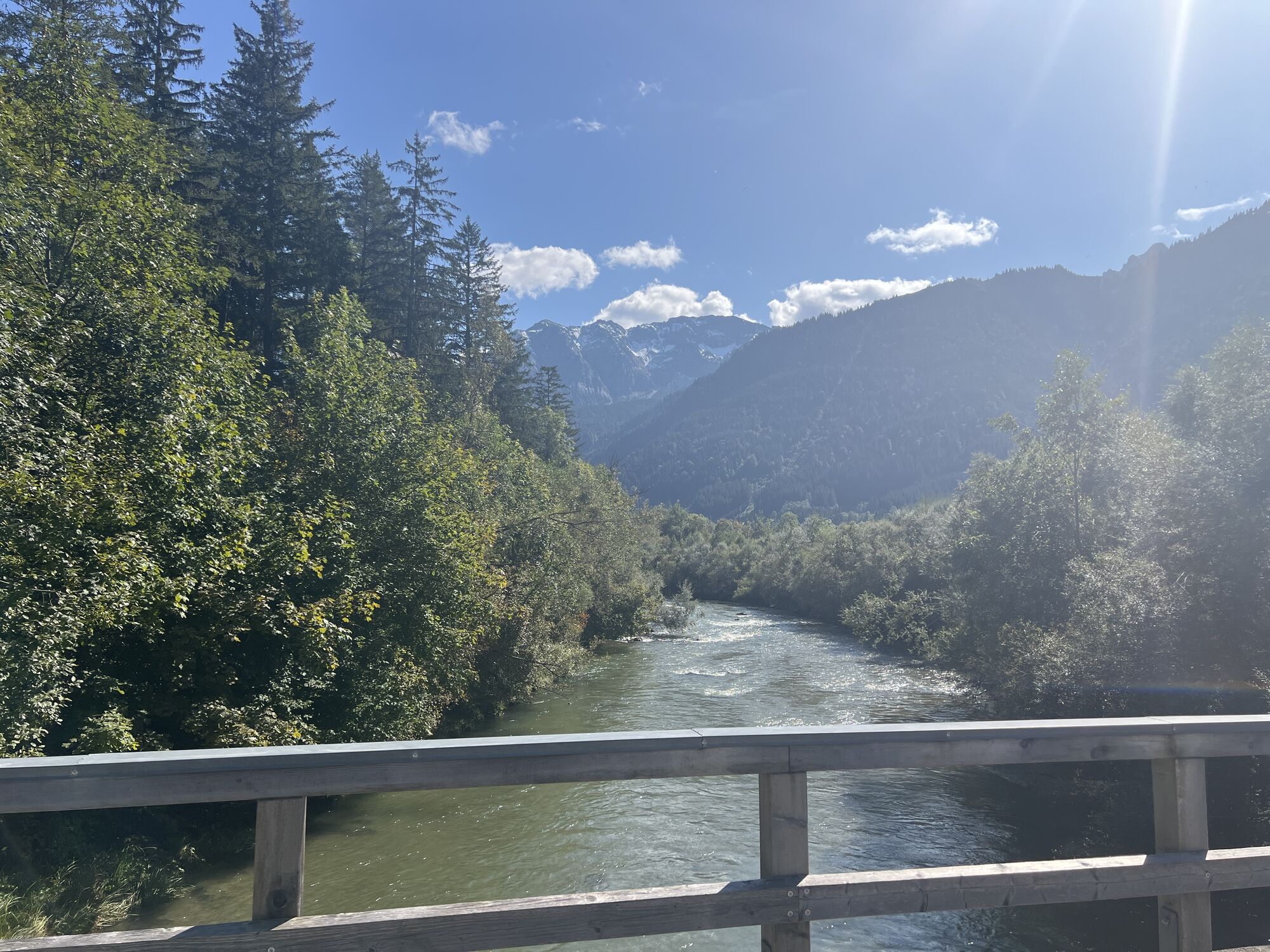
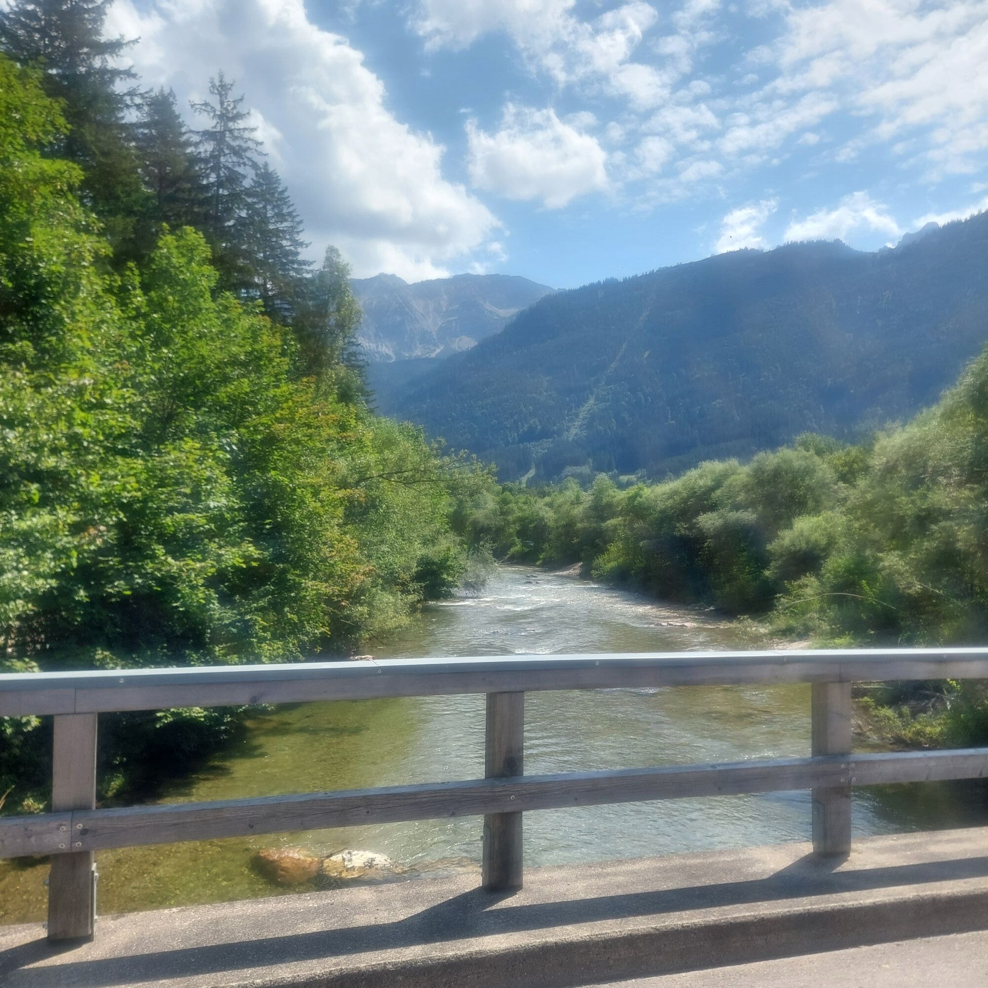
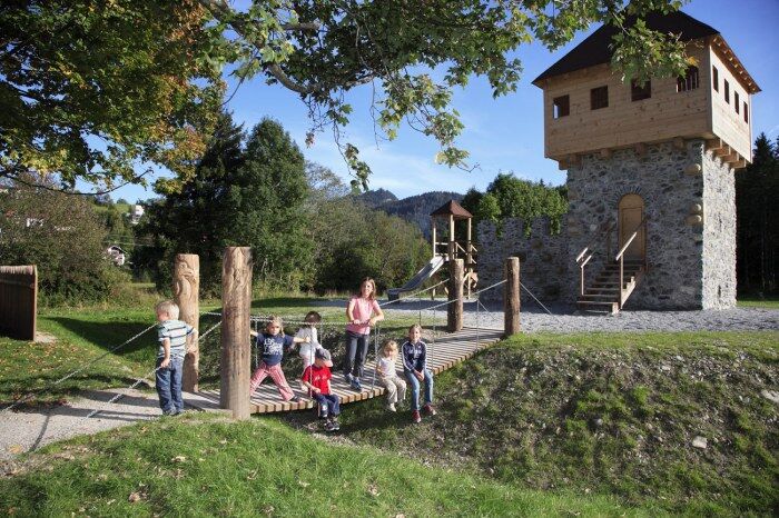
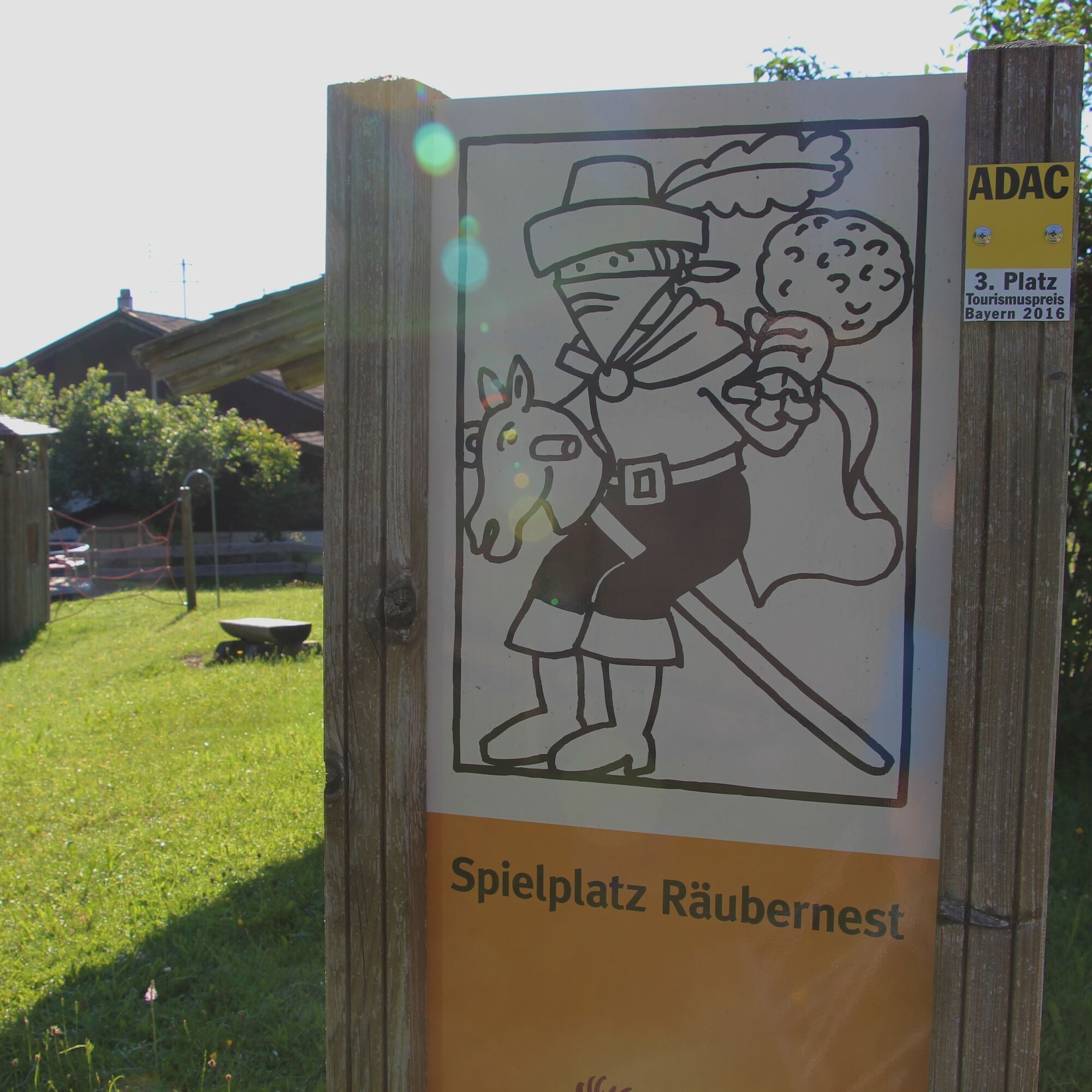
Continue via the Tiroler Straße and the Panoramaweg, then turn left along the Vilsufer to the Badstraße, over the bridge towards Pfronten-Ried, passing the "Ritterspielplatz" to the Meilinger Straße. Then follow the sidewalk to the "V-Markt", it is best to cross the federal road here. Walk along the Moor- und Streuwiesenpfad through the "Berger Moos" to Pfronten-Kreuzegg. From there continue along the federal road over the Achbrücke, before turning left to Pfronten-Rehbichl. From there, follow the Moosmühlweg to Pfronten-Kappel. Through the Einfängweg, you reach the Pfronten-Röfleuten district and further to Halden, where you return to Pfronten-Berg via the Haldener Kirchweg. The paths are paved and asphalted.
Ano
Ano
Sturdy footwear, a backpack with provisions, and a rain jacket are recommended.
B 309
Since the route can be started from anywhere, you can take the bus, public transport, or train to the districts and begin your hike.
Pfronten-Ried station or at the public parking lots throughout Pfronten
This circular route can be varied or shortened in many ways. A cozy stopover in one of the many good Pfronten inns is also part of it. (We recommend our local map with a gastronomy guide listing the inns' closed days)
Webové kamery z prohlídky
-
Skizentrum Steinach / Pfronten
-
Breitenberg Bergstation
-
Kesselmoos und Hochalpbahn
-
Pfronten-Halden / Hotel Zugspitzblick
-
Burghotel Falkenstein im Allgäu
-
Alpspitzbahn Mittelstation Nesselwang
-
Ostlerhütte
-
Burgen Eisenberg und Hohenfreyberg
-
Nesselwang - Womo-Stellplatz
-
Alpspitzbahn - Sportheim Böck
-
Nesselwang - Alpspitzbahn Talstation
-
Füssen Appartementhotel Seespitz
-
Breitenbergbahn - Pfronten
-
Pfronten - Skizentrum

Oblíbené prohlídky v okolí
-
4.8
3-Gipfel-Tour
středníTuristika 11.2 km -
5.0
Hiking tour to Breitenberg
heavyTuristika 15.6 km -
4.8
Around Weißensee
světloTuristika 6.12 km -
4.8
Bad Hindelang, Hinterstein, Deutschland
středníTuristika 14.1 km -
5.0
Gemeinde Grän, Tirol/Österreich Aggenstein Rundtour über Höhenweg
středníTuristika 9.84 km -
4.8
To the Bad Kissinger Hut via the Gräner Höhenweg
středníTuristika 13.0 km -
3.8
Reuter Wanne
středníTuristika 9.03 km -
4.9
Iseler und Kühgundkopf
středníTuristika 7.63 km -
4.3
Tannheim - Vilsalpsee
světloZimní turistika 3.80 km -
4.3
Schloß Neuschwanstein und Schwanensee Schwangau, Bayern
středníTuristika 9 km
Pěší turistika a stopování


Nenechte si ujít nabídky a inspiraci pro vaši příští dovolenou
Vaše e-mailová adresa byl přidán do poštovního seznamu.